Elevation of Blind Buck Rd, Salem, NY, USA
Location: United States > New York > Washington County > Salem > Salem >
Longitude: -73.314765
Latitude: 43.176051
Elevation: 150m / 492feet
Barometric Pressure: 100KPa
Elevation Map:
Satellite Map:
Related Photos:
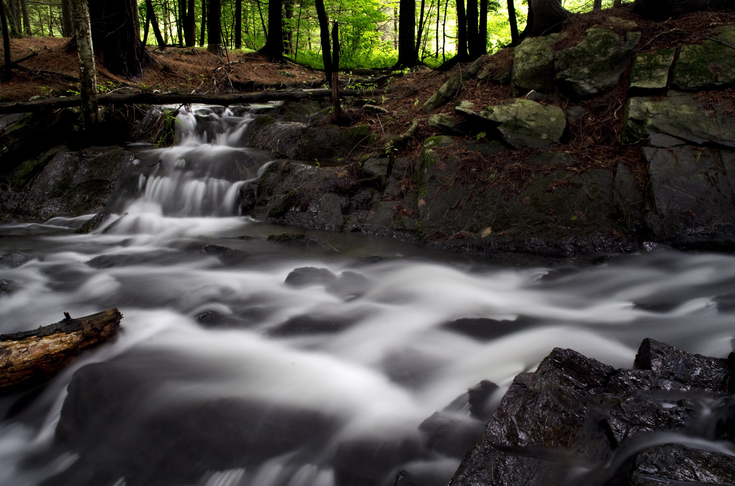
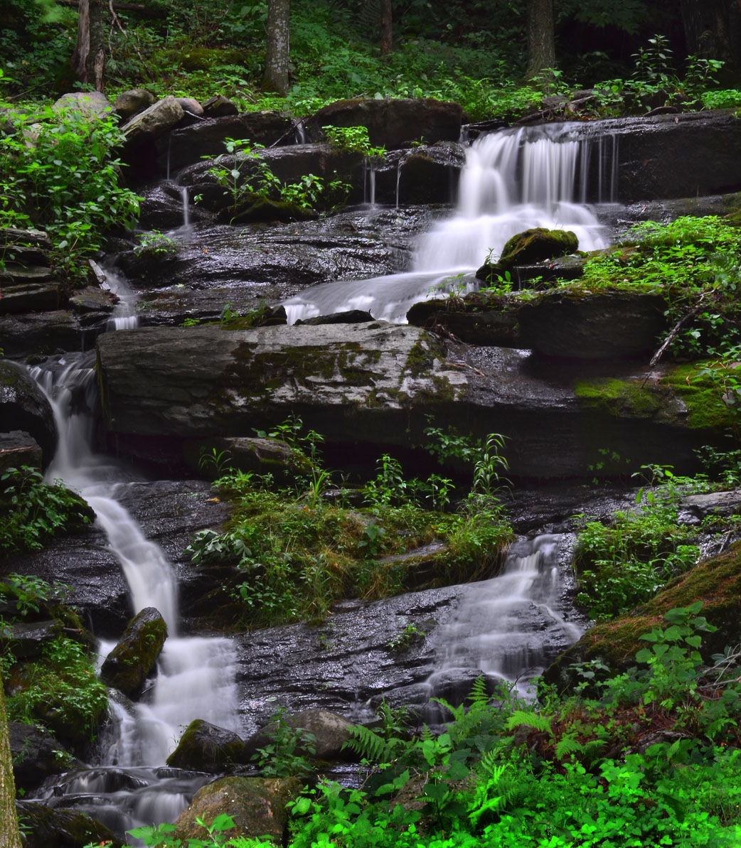
Waterfall East Hebron, NY
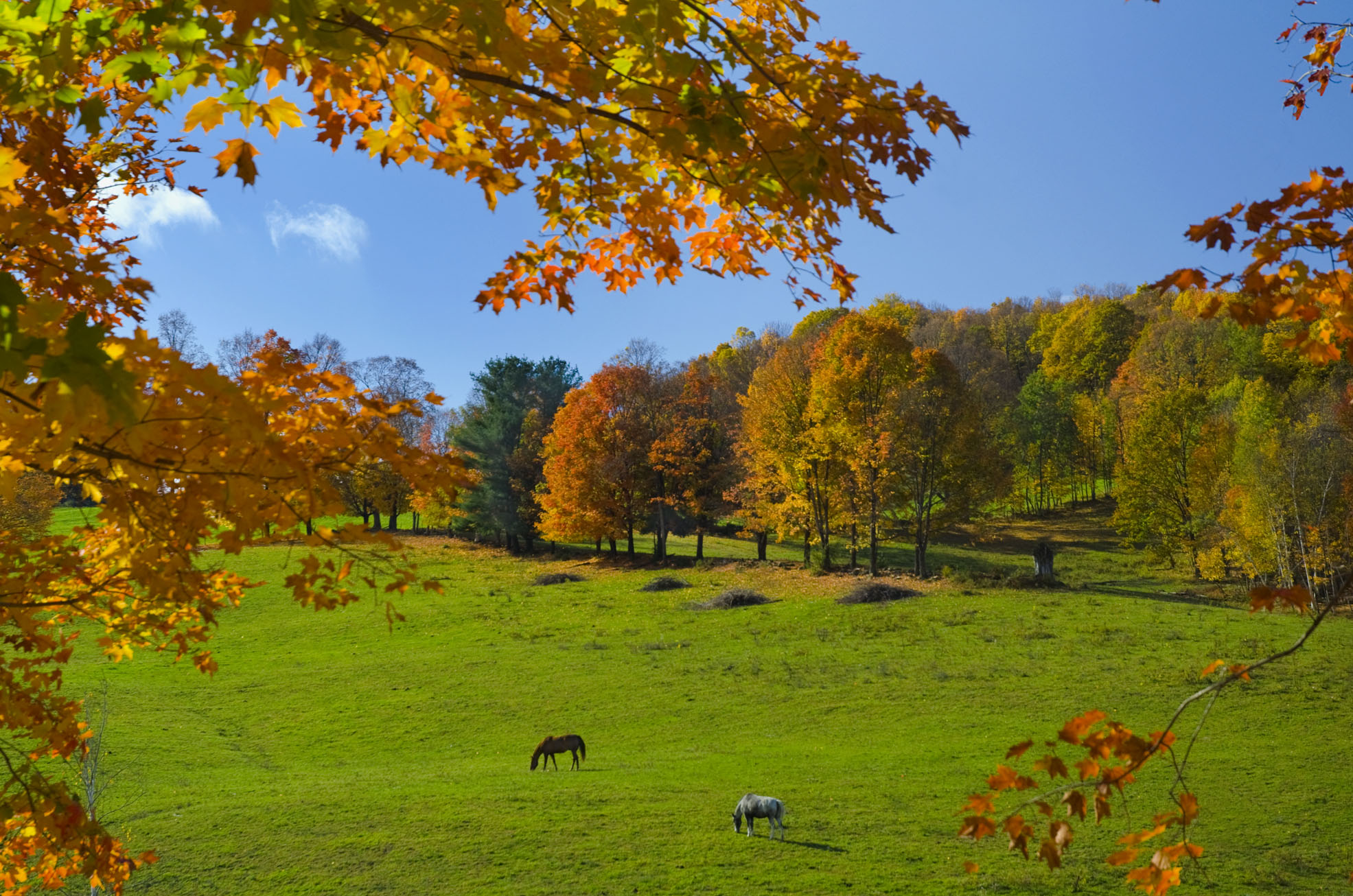
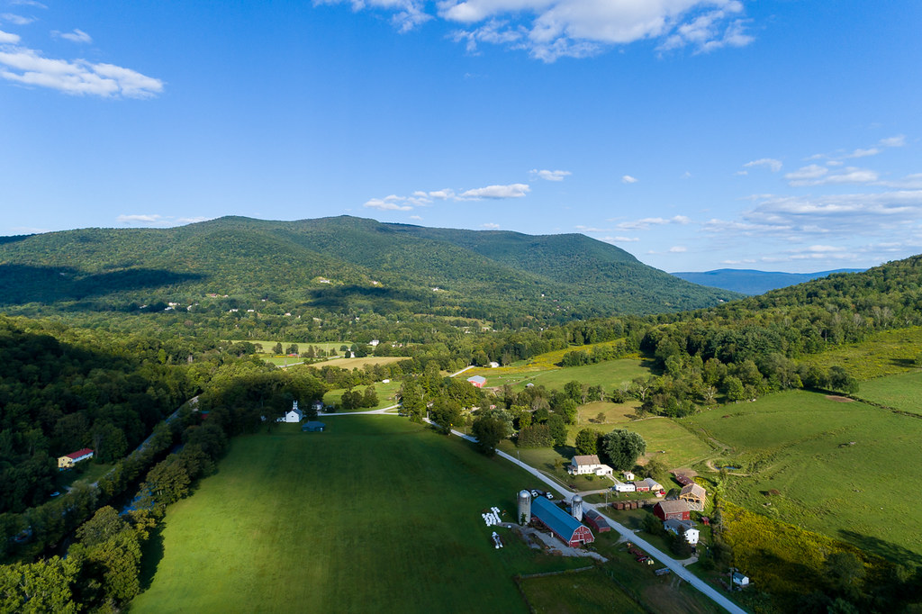
Fall colors and horses in Washington Co., NY

Arlington Sunset

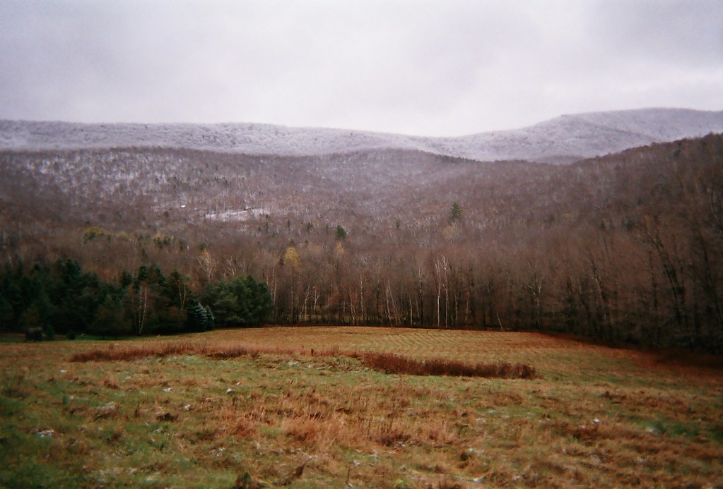
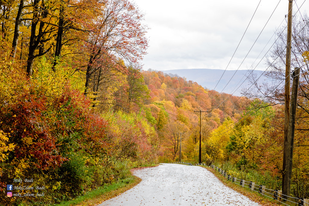
Upstate NY/Fall 2016
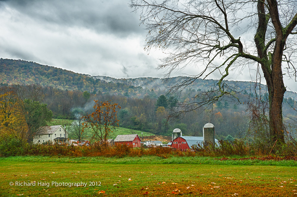
A rainy afternoon on the farm
The Front
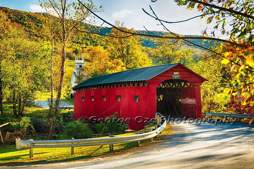
Red Covered Bridge and a Church, Vermont
Argyle,N.Y.

Upstate NY/Fall 2016
Ebenville Rd, Rupert, VT
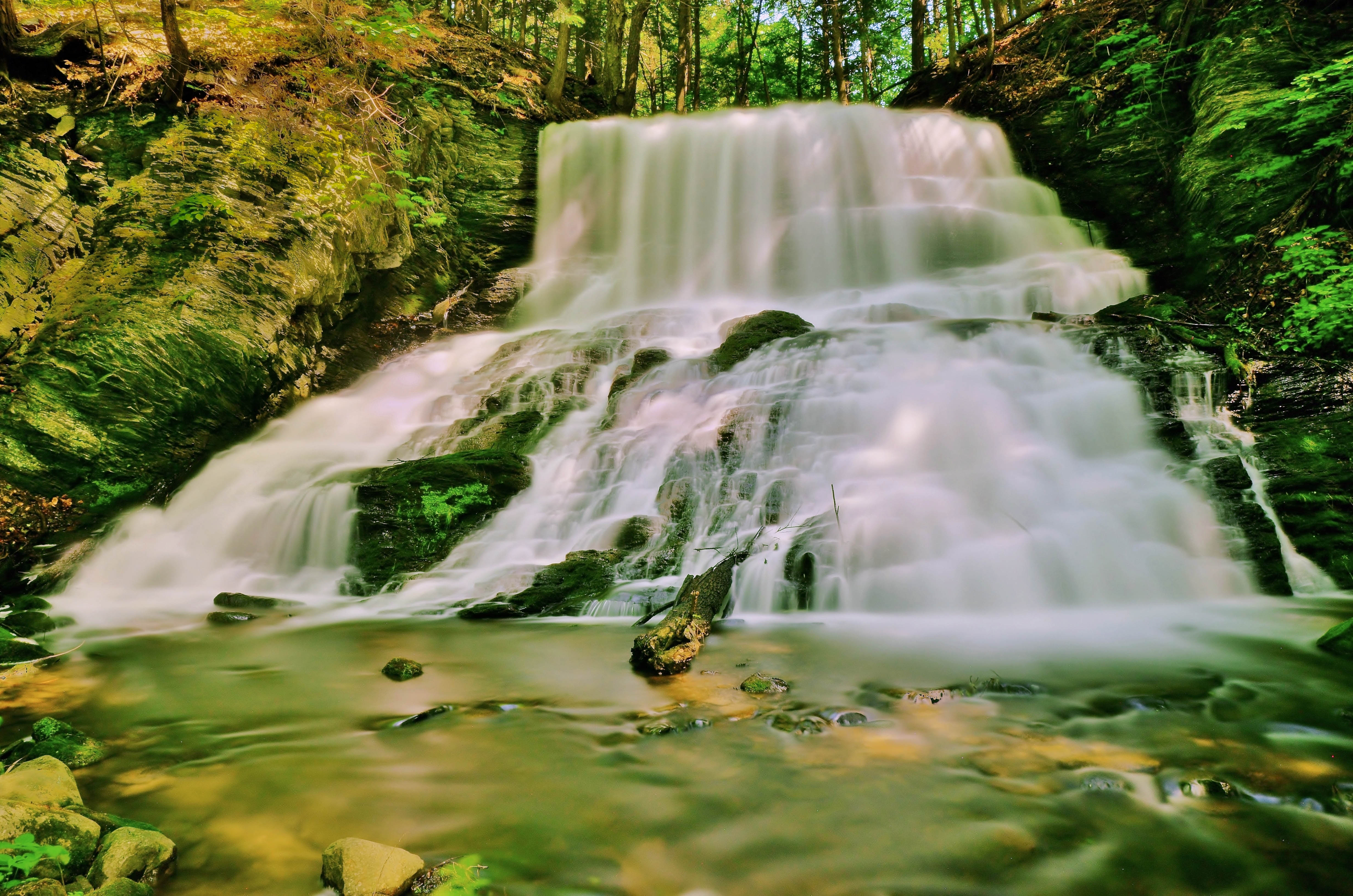
Spraguetown Falls
Rupert VT

US-1383-20171024
Mount Equinox Manchester, Vermont
Landscape outside Manchester Vermont
Green Mountains - Vermont

Morning at the family cottage.

Skyline Drive
US-1378-20171024
Landscape outside Manchester Vermont
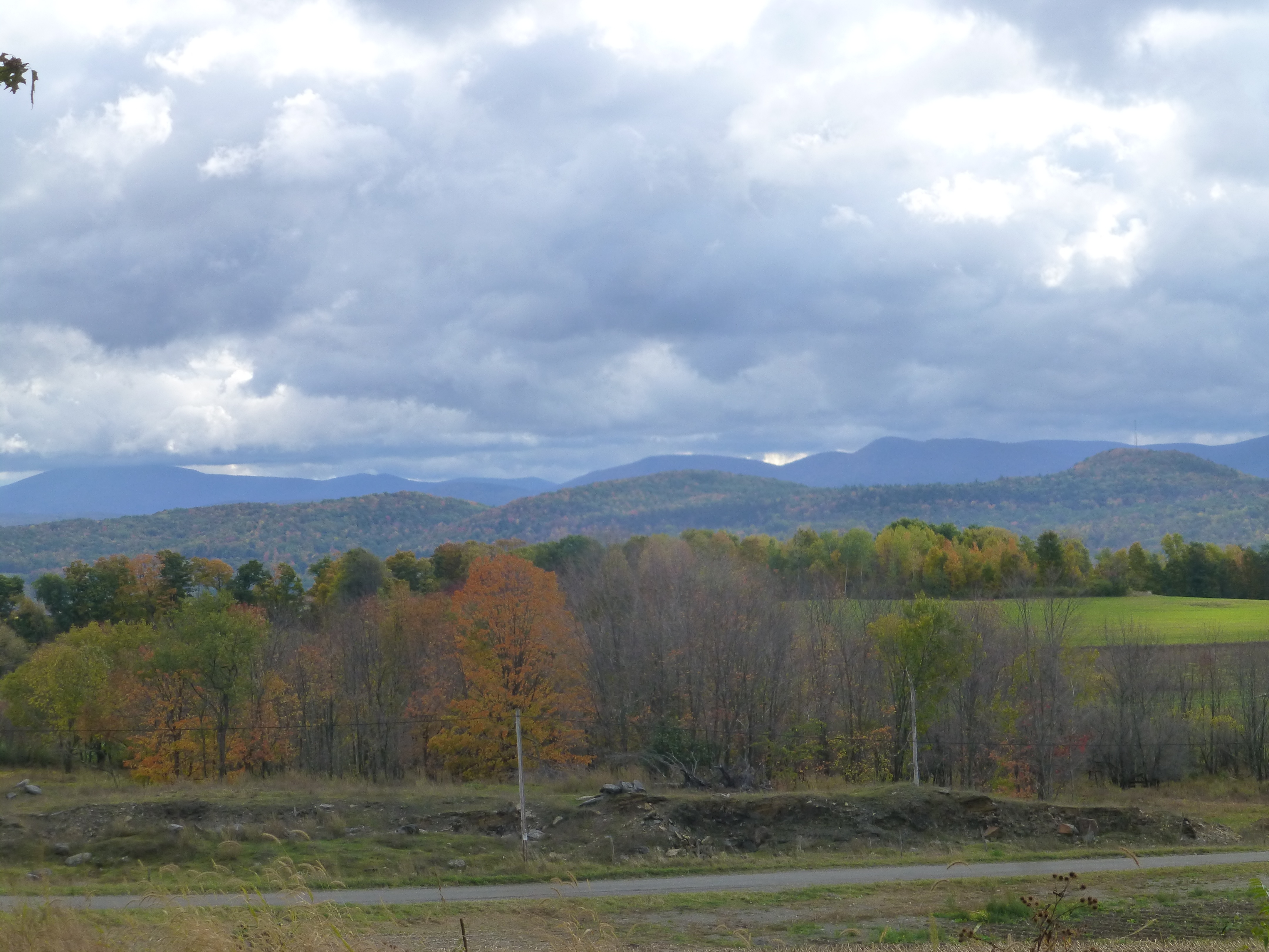
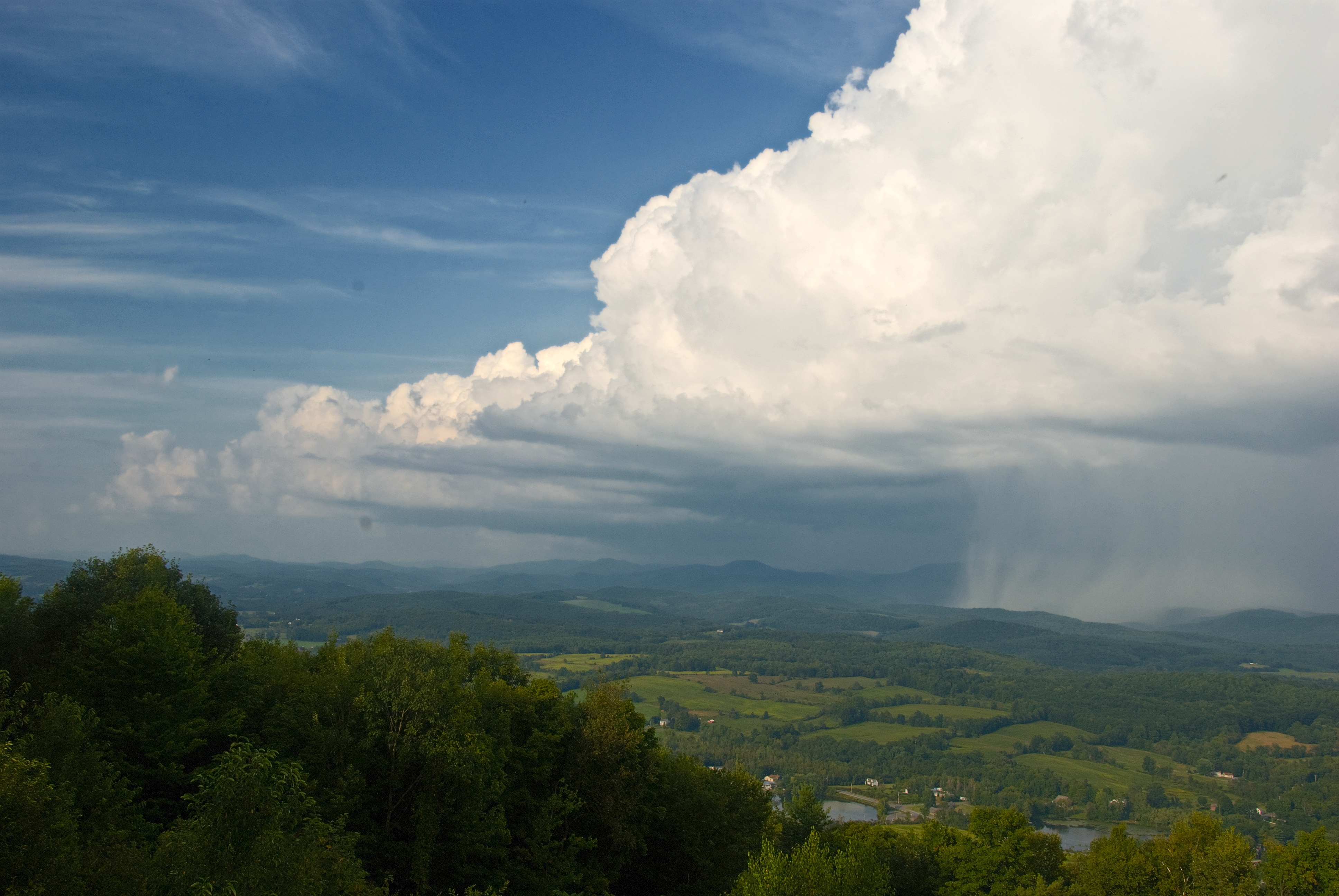
View eastward toward high Taconic Mountains, of southwestern Vermont, from Warnick Road, Hebron, Washington County, NY
Topographic Map of Blind Buck Rd, Salem, NY, USA
Find elevation by address:

Places near Blind Buck Rd, Salem, NY, USA:
Salem
S Main St, Salem, NY, USA
37 S Main St
97 W Broadway
Salem
407 Perry Hill Rd
987 Camden Valley Rd
Rexleigh Rd, Shushan, NY, USA
34 Briansky Ln
Allen Road
Allen Road
Allen Road
53 Perry Hill Rd
12 Briansky Ln
97 Rexleigh Rd
6173 Ny-22
175 Ferguson Ln
Patterson Hill Rd, Salem, NY, USA
390 Eagleville Rd
Shushan
Recent Searches:
- Elevation of Corso Fratelli Cairoli, 35, Macerata MC, Italy
- Elevation of Tallevast Rd, Sarasota, FL, USA
- Elevation of 4th St E, Sonoma, CA, USA
- Elevation of Black Hollow Rd, Pennsdale, PA, USA
- Elevation of Oakland Ave, Williamsport, PA, USA
- Elevation of Pedrógão Grande, Portugal
- Elevation of Klee Dr, Martinsburg, WV, USA
- Elevation of Via Roma, Pieranica CR, Italy
- Elevation of Tavkvetili Mountain, Georgia
- Elevation of Hartfords Bluff Cir, Mt Pleasant, SC, USA