Elevation of 37 S Main St, Salem, NY, USA

Location: United States > New York > Washington County > Salem > Salem >

Longitude: -73.331988

Latitude: 43.163787

Elevation: 145m / 476feet

Barometric Pressure: 100KPa

Elevation Map:

elevation map of 37 S Main St, Salem, NY, USA

Satellite Map:

Satellite map of 37 S Main St, Salem, NY, USA

Related Photos:

Rexleigh Covered Bridge
2010 cambridge cambridgevalleyballoonfestival cambridgevalleyballoonfestival2010 june moonglow ny usa hotairballoon altuwa
Moon Glow - Cambridge, NY - 10, Jun - 16
1897 argyle thehook washingtoncounty newyork huggins garden
CH-IntheGarden-Sum1897
1897 1898 1899 1900 argyle washingtoncounty newyork black williamson huggins ireland monaghan rockcorry cootehill brick farm
CH-JohnRBlackHouse-1898-1900
adirondackmountains adirondacks callawayroad cambrian geology granulite grenvilleorogeny hebron hudsonchamplain klippe lakegeorge lowlands metamorphic newyorkstate ordovician overthrust proterozoic taconic washingtoncounty
View of the SE Adirondacks, Callaway Rd., Hebron, NY
geology newyork ordovician taconic taconicmountains vermont washingtoncounty shale limestone deepkillformation poultneyformation hatchhillformation cambrian epiphyton boundstone conodonts
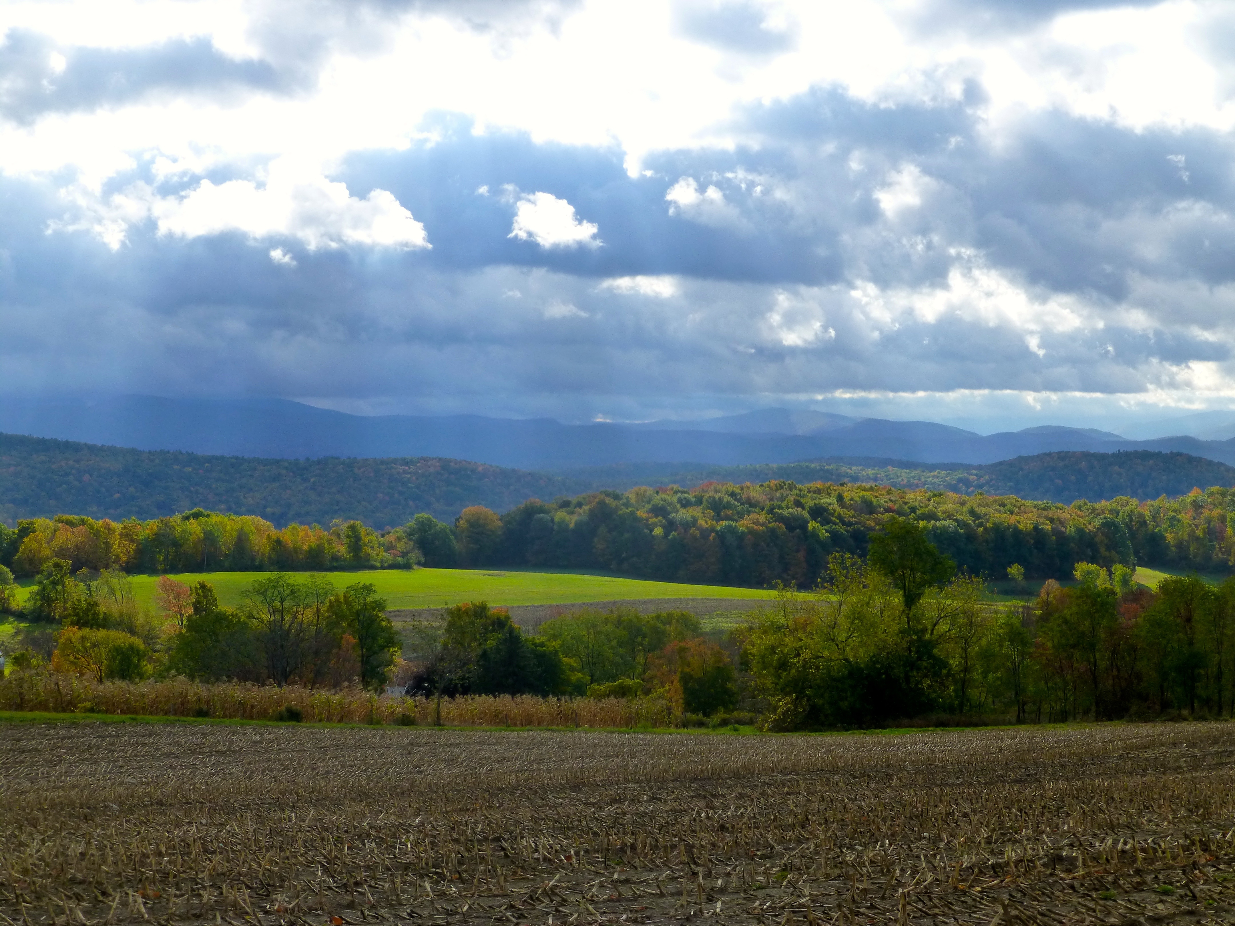
View eastward toward high Taconic Mountains, of southwestern Vermont, from Warnick Road, Hebron, Washington County, NY
bridge usa river vermont newengland coveredbridge normanrockwell battenkill westarlington copyright2009 innoncoveredbridgegreen charleskellogg charlesgkellogg charliekellogg
Norman Rockwell Home through West Arlington Covered Bridge Vermont
travel autumn fall church vertical architecture landscape colorful vermont seasons fineart scenic newengland nobody landmark historic foliage coveredbridge northamerica daytime quaint churchsteeple highangleview battenkillriver westarlington buildingexteriors bridgestructures
Covered Bridge Fall Scenic, West Arlington, Vermont
dorsetpeak geology mtequinox taconicmountains vermont
Mt Equinox, Vermont from Warnick Road
dorsetpeak mtequinox taconicmountains vermont
View of high Taconic Mt. peaks in southwestern Vermont, from Calloway Road, Hebron, Washington County, New York
photostream geology glacial pleistocene glaciallakeplain taconic overthrust thrust fauly thrustfault cambrian ordovician klippe argyle barkleymountain washingtoncounty newyork
BarkleyMt—Argyle
1898 1899 1900 presbyterian church protestant argyle northargyle washingtoncounty newyork
CH-NAPresbCh-ca1899-1900
photostream geology glacial glaciallakequakersprings pleistocene esker taconic cambrian ordovician overthrust thrustfault argyle argyleairport washingtoncounty toddmountain newyork winter
Argyle Airport
callowayroad cambrian equinox geology hebron klippe manchester newyork ordovician overthrust sandgate taconic vermont washingtoncounty
View of the northern Taconic Mts., NY-VT, from Callaway Rd.
Upstate NY Travels - Summit Lake, Argyle, NY
Northbound at Fish Hatchery Road
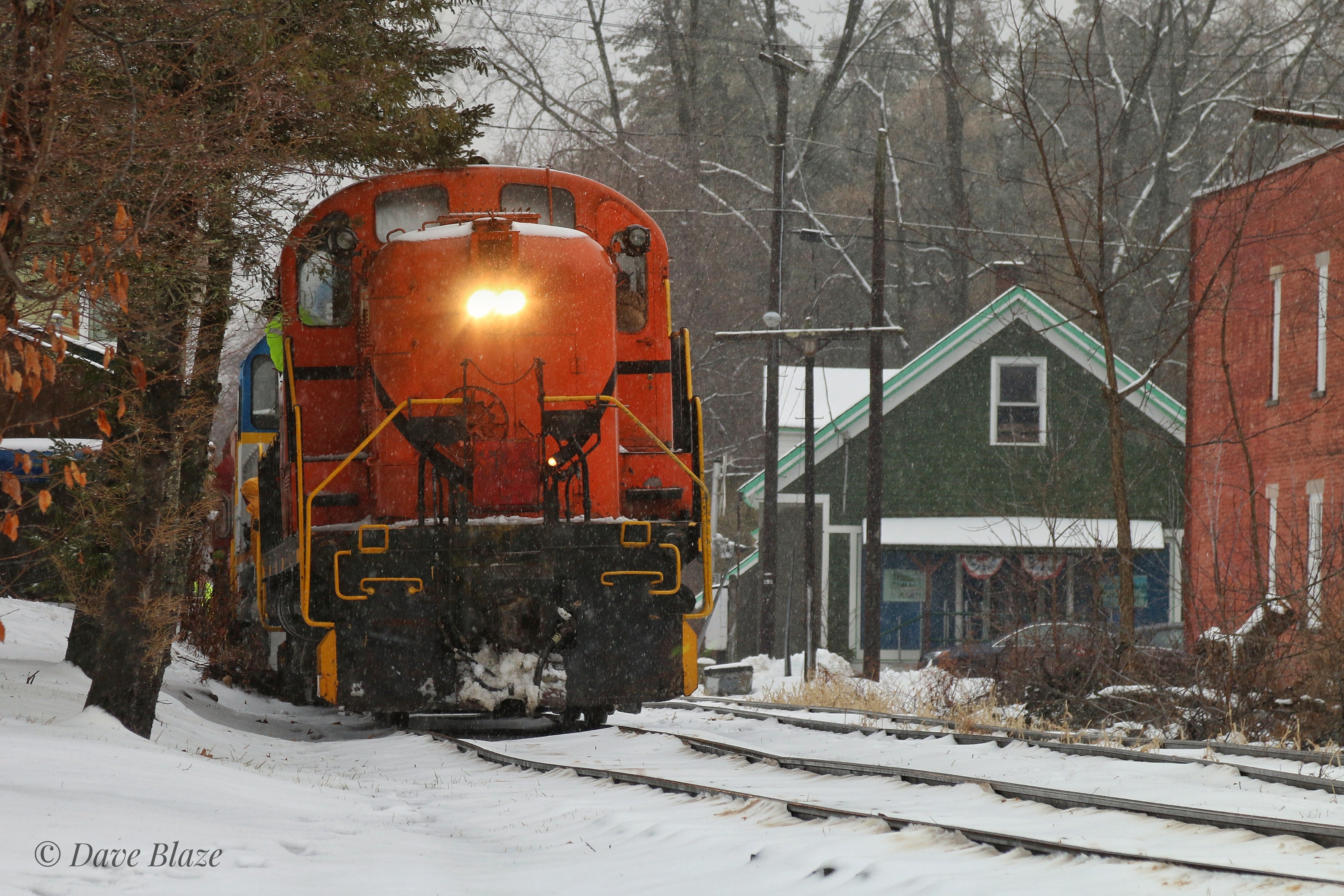
4116 on the Siding in Shushan
18200vr battenville cambridge d80 geo:lat=4308956424 geo:lon=7339236796 geotagged labcfk newyork unitedstates usa
The Front
travel autumn usa building fall horizontal architecture landscape vermont seasons outdoor scenic landmarks newengland chapel northamerica serene picturesque woodenbridge coveredbridges greenmountains baptistchurch nationalregisterofhistoricplaces churchsteeple lowangleview battenkillriver historicbridges westarlington buildingexteriors townlatticetruss bridgestructures normanrockwellhome
Red Covered Bridge and a Church, Vermont
vintagecar antiquecar antiqueauto haynes vintageauto lanternslide salemny haynesautomobile balopticon manhattanshirtcompany spallholz hayneslightsix
Salem, NY, June 11, 1919
travel autumn fall church horizontal architecture arlington landscape colorful vermont seasons unitedstates fineart scenic newengland nobody landmark historic foliage coveredbridge northamerica daytime quaint churchsteeple highangleview battenkillriver westarlington buildingexteriors bridgestructures
Scenic Covered Bridge of West Arlington
river creek battenkillriver battenkill rapids autumn autumncolors fall fallfoliage foliage greenwich washingtoncounty smalltown newyork capitalregion color outdoor landscape water pentax pentaxart kmount k70 hdpentaxda1685mmlens reflectioninwater reflection
Batten Kill
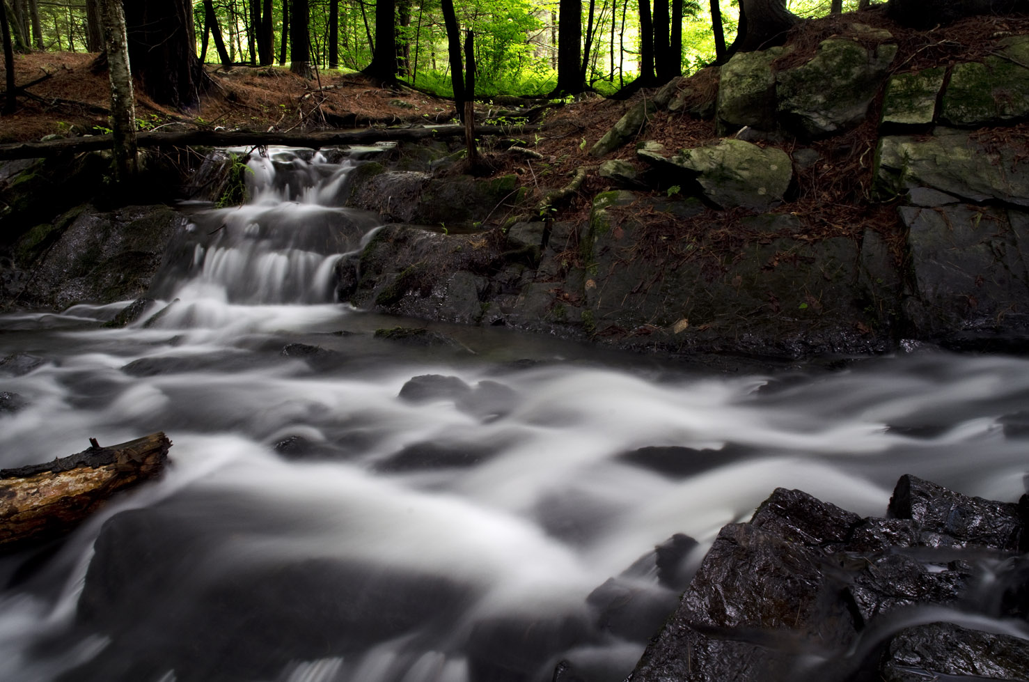
Waterfall East Hebron, NY
river battenkill battenkillriver reflection mirrorreflection reflectioninwater winterlandscape winter cloud color blue greenwich village washingtoncounty capitalregion newyork outdoor water pentax pentaxart kmount k70 hdpentaxda1685mmlens
Batten Kill Reflections
day clear pwfall
Fall colors and horses in Washington Co., NY
vermont rupertvt geotagged flickrgeotaggers innatelmwood
Ebenville Rd, Rupert, VT
blackwhite lanternslide salemny caryhill spallholz
Salem, NY, from Cary Hill, March 14, 1919
bridge blackandwhite bw usa ny film nature america train 35mm vintage landscape grey industrial pentax k1000 steel traintracks americana blinkagain
Cambridge, NY tracks
building abandoned barn december time quotes cambridgeny
Where No One Goes 12/06/15
rupertvt spring vt vermont geotagged flickrgeotaggers innatelmwood
Rupert VT
nature water leaves landscapes woods rocks waterfalls cascades streams hdr slowmotion longexposer
Argyle,N.Y.
valencia square squareformat iphoneography instagramapp uploaded:by=instagram foursquare:venue=4d45a86114aa8cfa6f9e743d
The hills. I see them rollin'. Washington County Cheese Tour (map: bit.ly/wcct13, try next year). Sweet Spring Farm - Argyle Cheese Farmer - Longview Farm - Sugarloaf Farm is easy (and you end up close to Lake George, boom).
Fall in Washington County 3
Taconic deepwater Cambrian(?) rocks, Argyle, NY
cambridge usa newyork geotagged unitedstates 18200vr d80 labc battenville geo:lat=4308956424 geo:lon=7339236796 2013ny5713
Cambridge, NY
art december fineart artists cambridgeny
Portrait of the Artist 12/05/15