Elevation map of Washington County, NY, USA
Location: United States > New York >
Longitude: -73.370869
Latitude: 43.2519472
Elevation: 158m / 518feet
Barometric Pressure: 99KPa
Elevation Map:
Satellite Map:
Related Photos:
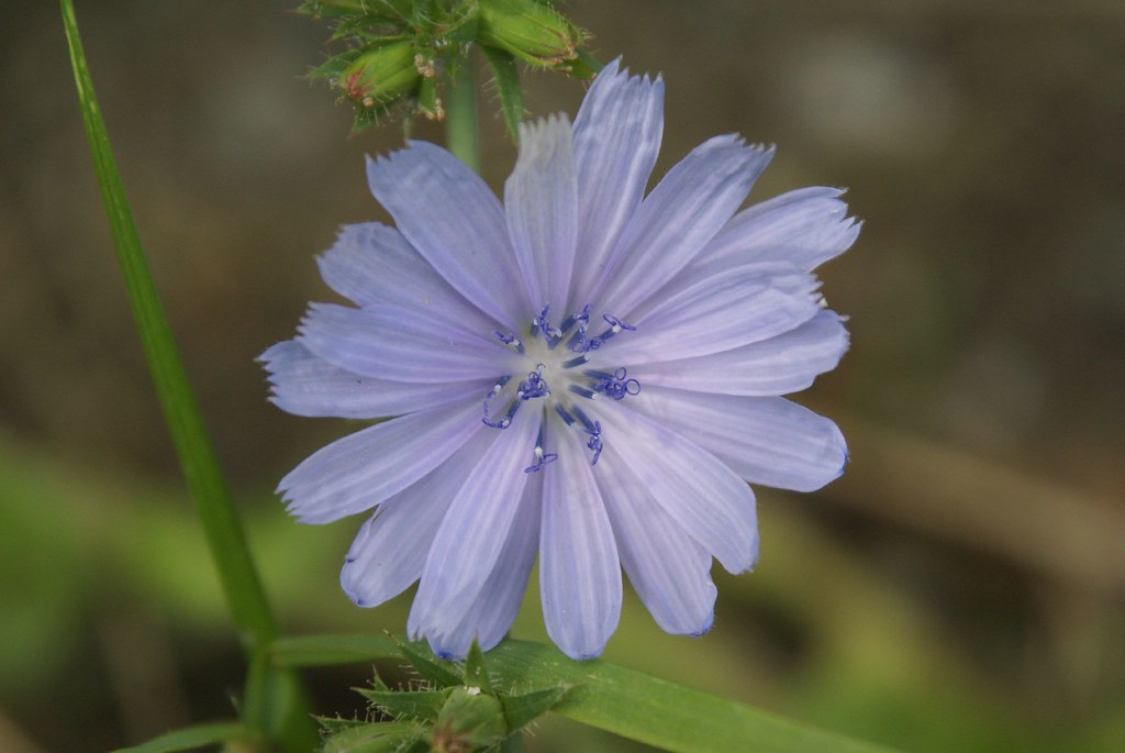
curly-cue stamens

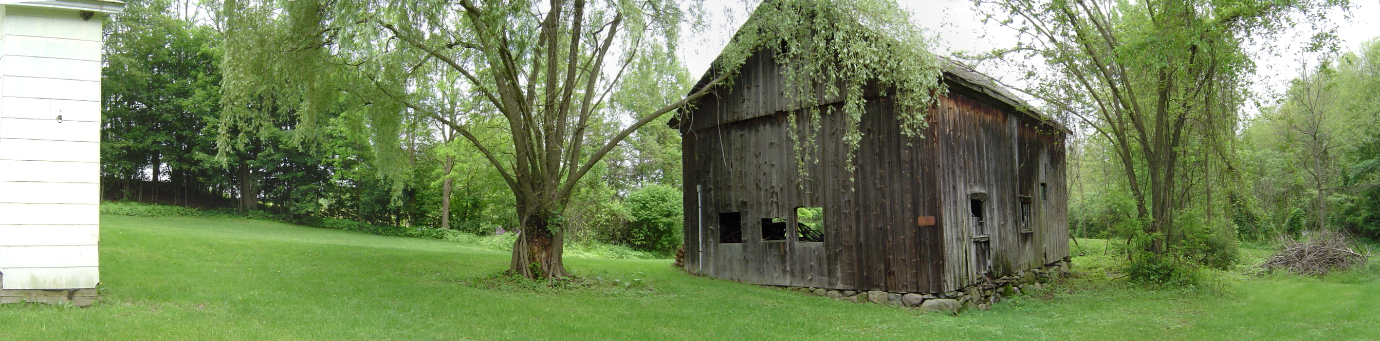
View out the back, Barn 2 Gallery
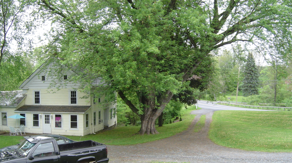
2 Townsend

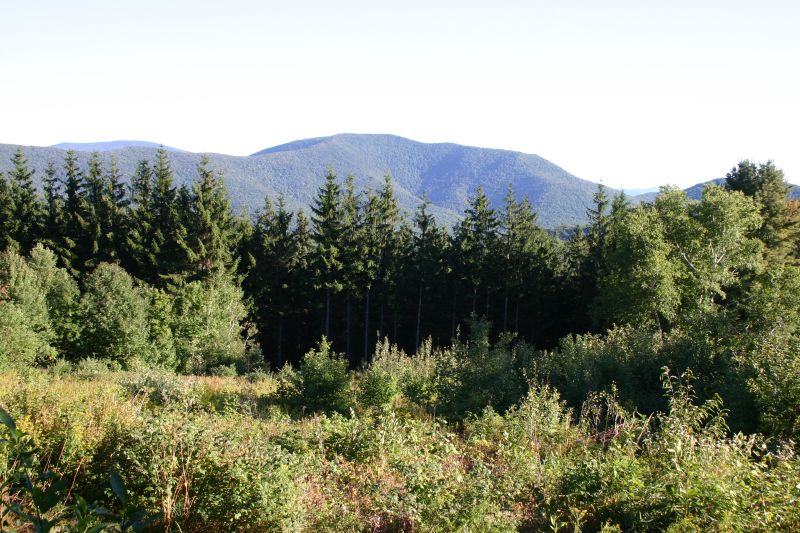
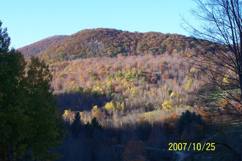
View West from Antone Mountain

View East from Antone Mountain
View from the Cabin

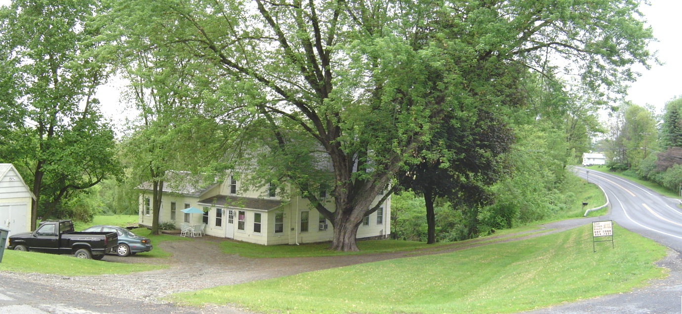
2 Townsend
Master bedroom
2 Townsend
2 Townsend

The hills. I see them rollin'. Washington County Cheese Tour (map: bit.ly/wcct13, try next year). Sweet Spring Farm - Argyle Cheese Farmer - Longview Farm - Sugarloaf Farm is easy (and you end up close to Lake George, boom).
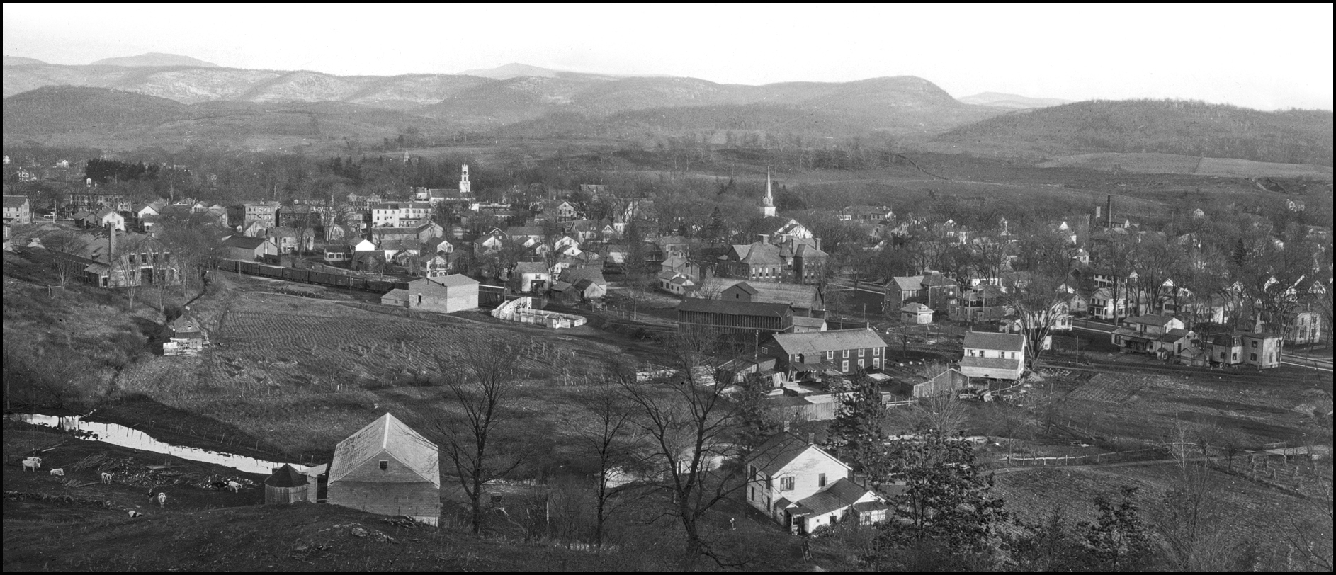
Salem, NY, from Cary Hill, March 14, 1919
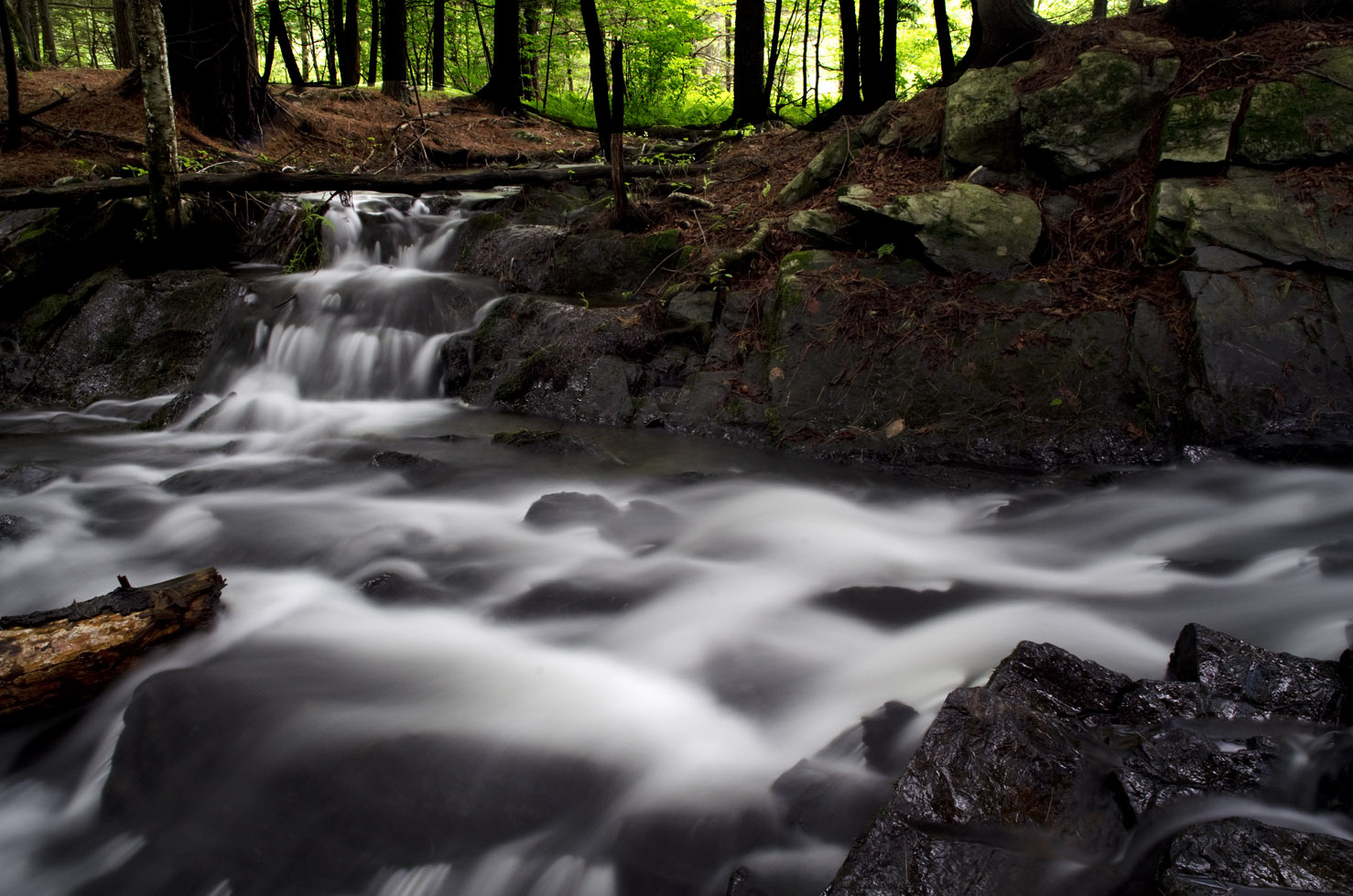
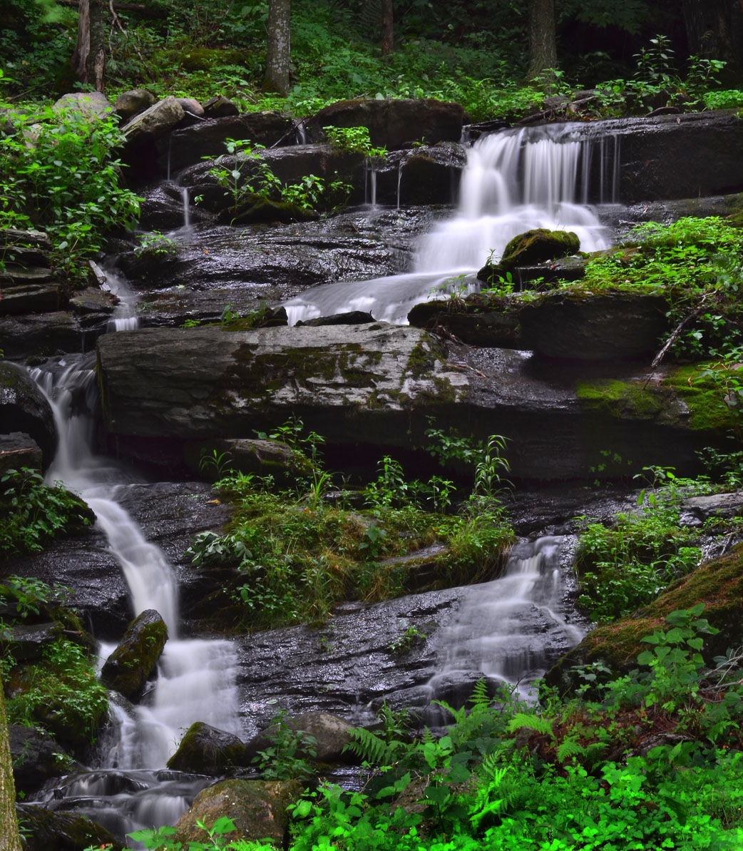
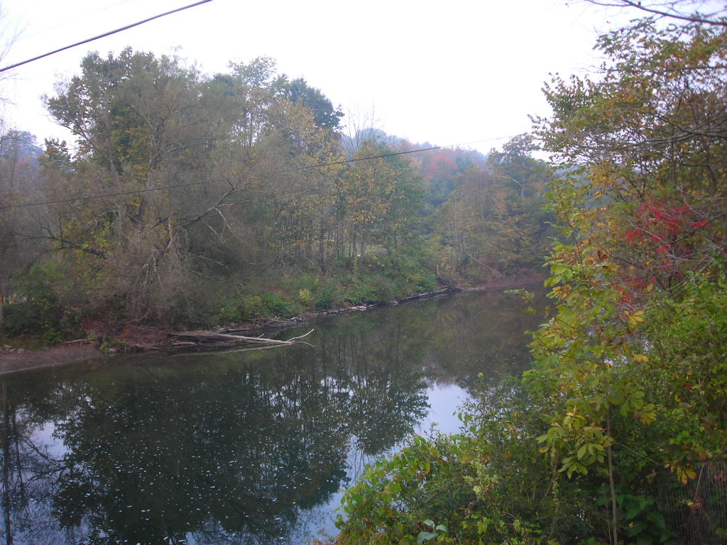
Waterfall East Hebron, NY
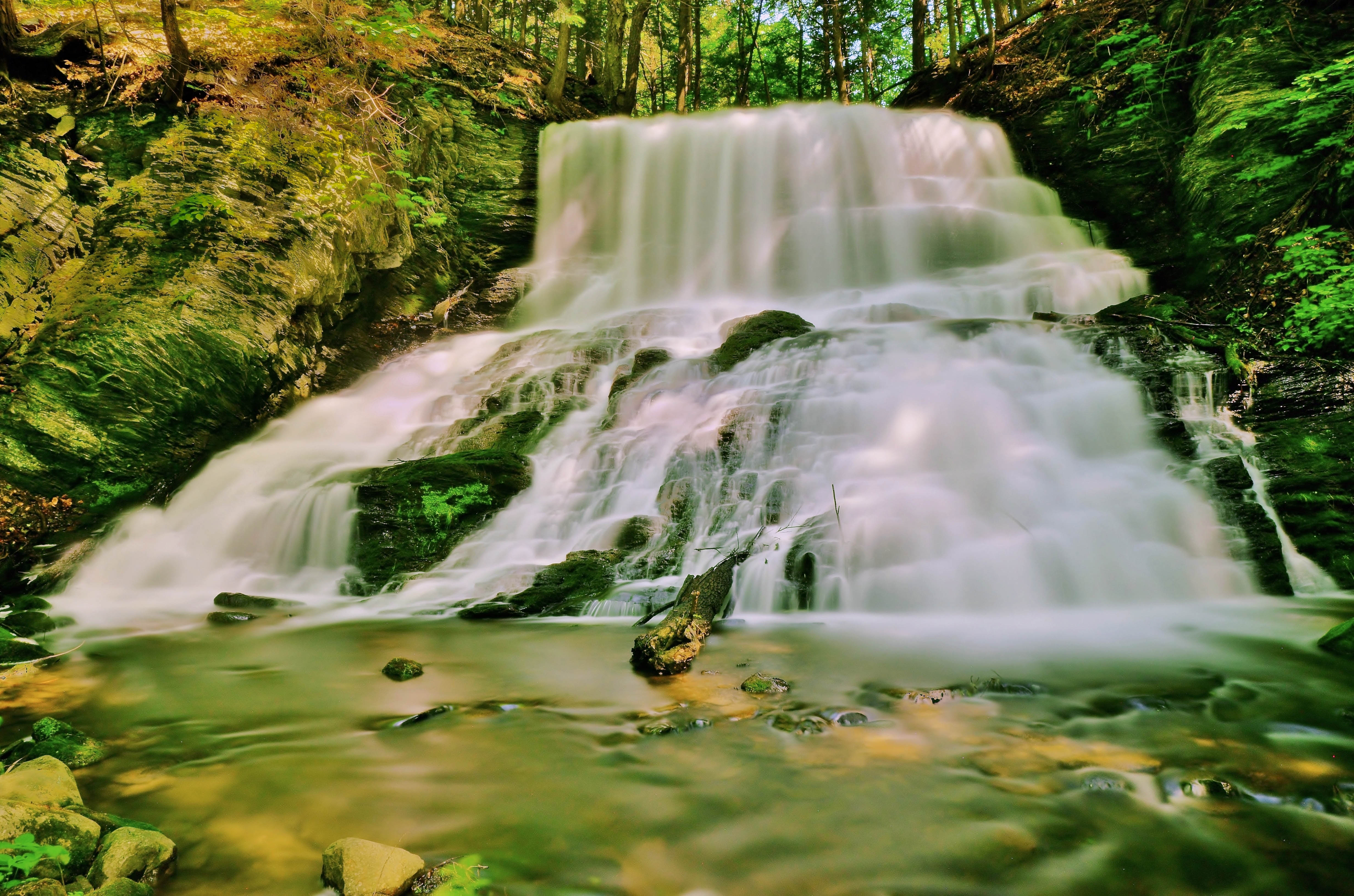
Spraguetown Falls
Argyle,N.Y.

Morning at the family cottage.

Sunsets 1

Great evening...

American Hoverfly (?) (Eupeodes americanus)

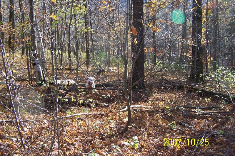
Fawn - Full Throttle
D Too

Maple Sap Tubing System 3

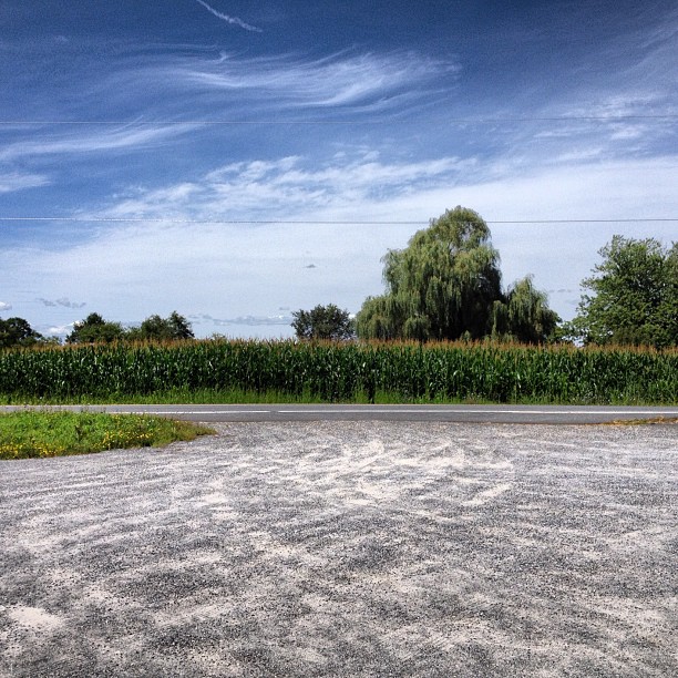
Fort Edward Grasslands
Wavy Lines
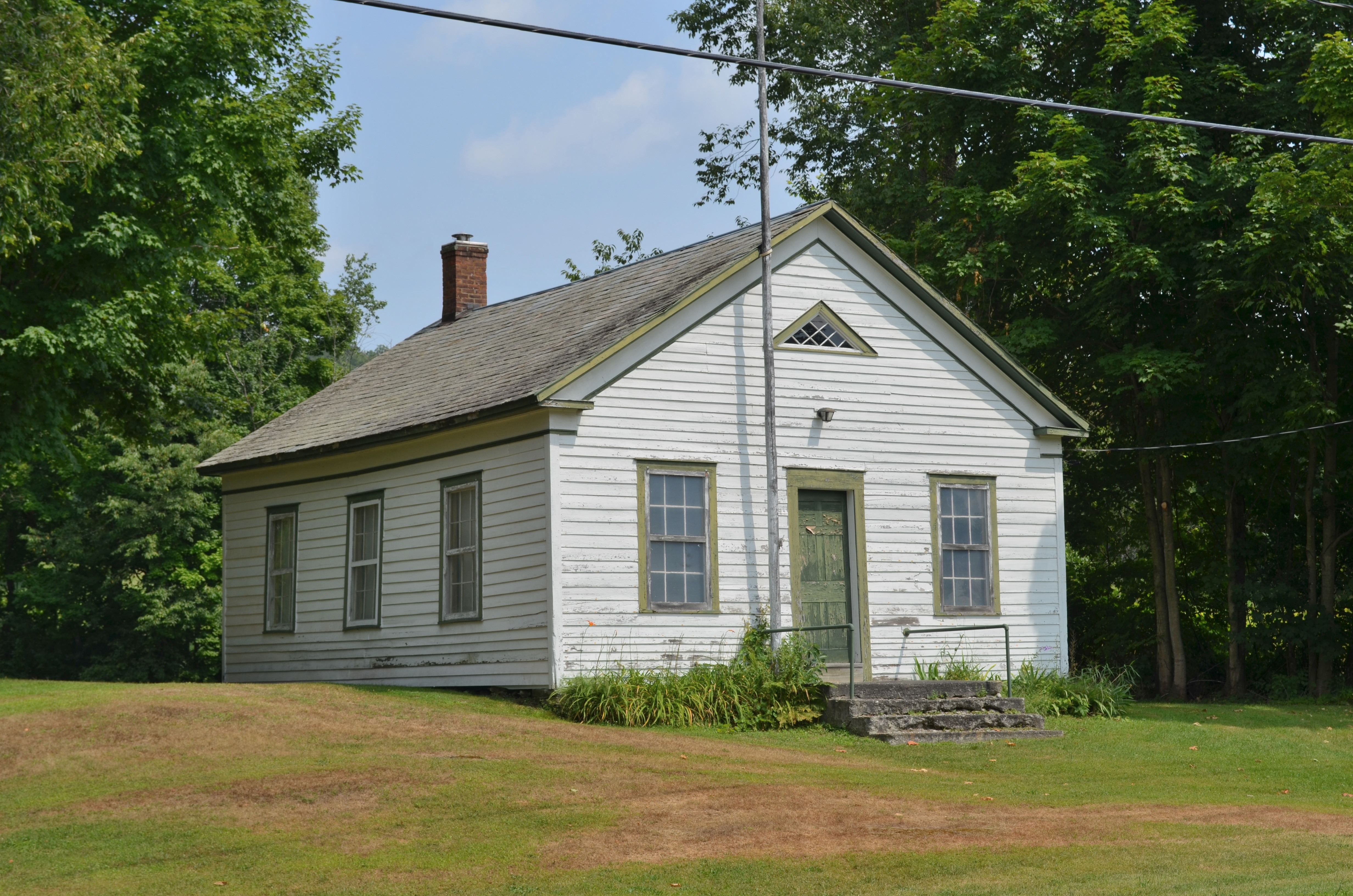
East Hebron School

American Hoverfly (?) (Eupeodes americanus)
Looking west

Suffolk Punch Draft Horses
100607 145
Topographic Map of Washington County, NY, USA
Find elevation by address:

Places in Washington County, NY, USA:
Argyle
Hartford
Cambridge
Greenwich
Fort Ann
Salem
Hebron
Kingsbury
Easton
Whitehall
White Creek
Hampton
Hampton
Fort Edward
Granville
Co Rd 31, Granville, NY, USA
NY-22, Granville, NY, USA
1 Putnam Center Rd, Putnam Station, NY, USA
Co Rd 3, Putnam Station, NY, USA
Co Rd 23, Granville, NY, USA
Wrights Ferry Rd, Putnam Station, NY, USA
Jackson
Black Mountain
Putnam Station
Dresden
Putnam
Places near Washington County, NY, USA:
Hebron
Chamberlin Mills Road
696 Chamberlin Mills Rd
Wicks Lane
426 Goose Island Rd
428 Goose Island Rd
400 Goose Island Rd
456 Goose Island Rd
429 Goose Island Rd
Halls Pond Road
1 Goose Island Rd, Argyle, NY, USA
Tiplady Road
5245 County Rte 30
243 Pope Hill Rd
163 Pope Hill Rd
24 Safford Rd
5526 County Rte 30
13 Indian Head Way
Co Rd 31, Granville, NY, USA
124 Sheldon Rd
Recent Searches:
- Elevation of Corso Fratelli Cairoli, 35, Macerata MC, Italy
- Elevation of Tallevast Rd, Sarasota, FL, USA
- Elevation of 4th St E, Sonoma, CA, USA
- Elevation of Black Hollow Rd, Pennsdale, PA, USA
- Elevation of Oakland Ave, Williamsport, PA, USA
- Elevation of Pedrógão Grande, Portugal
- Elevation of Klee Dr, Martinsburg, WV, USA
- Elevation of Via Roma, Pieranica CR, Italy
- Elevation of Tavkvetili Mountain, Georgia
- Elevation of Hartfords Bluff Cir, Mt Pleasant, SC, USA