Elevation of County Rte 30, Granville, NY, USA
Location: United States > New York > Washington County > Granville > Granville >
Longitude: -73.383535
Latitude: 43.3347101
Elevation: 177m / 581feet
Barometric Pressure: 99KPa
Elevation Map:
Satellite Map:
Related Photos:
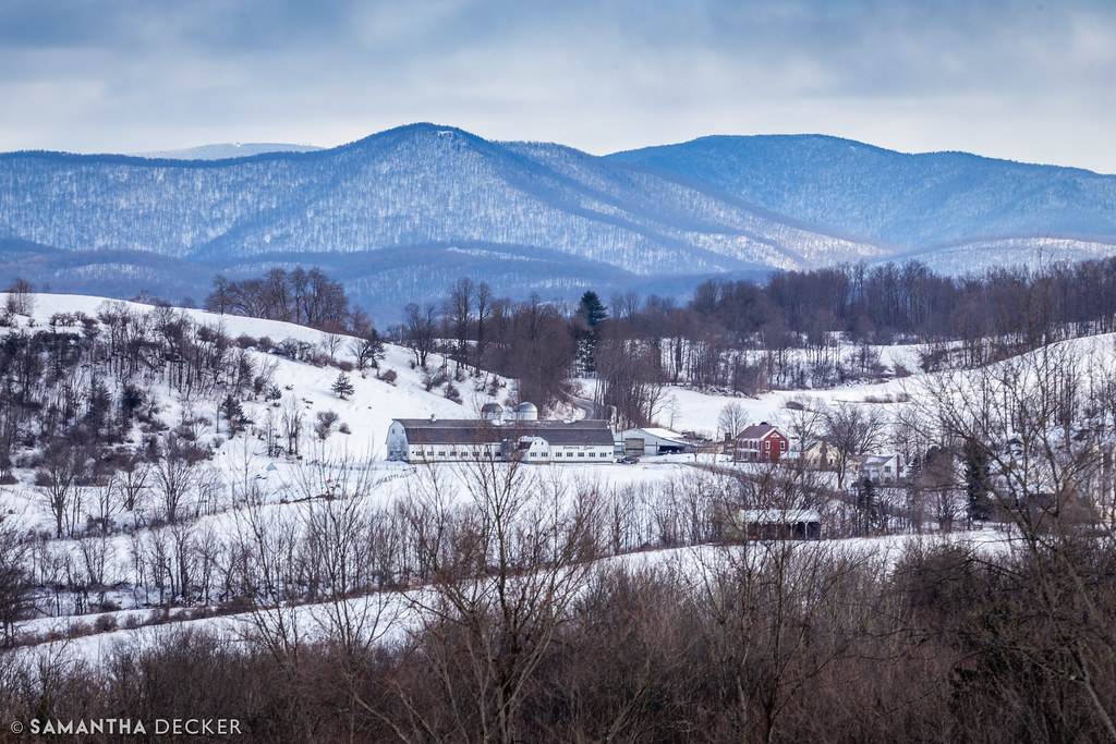
A Rural Winter View

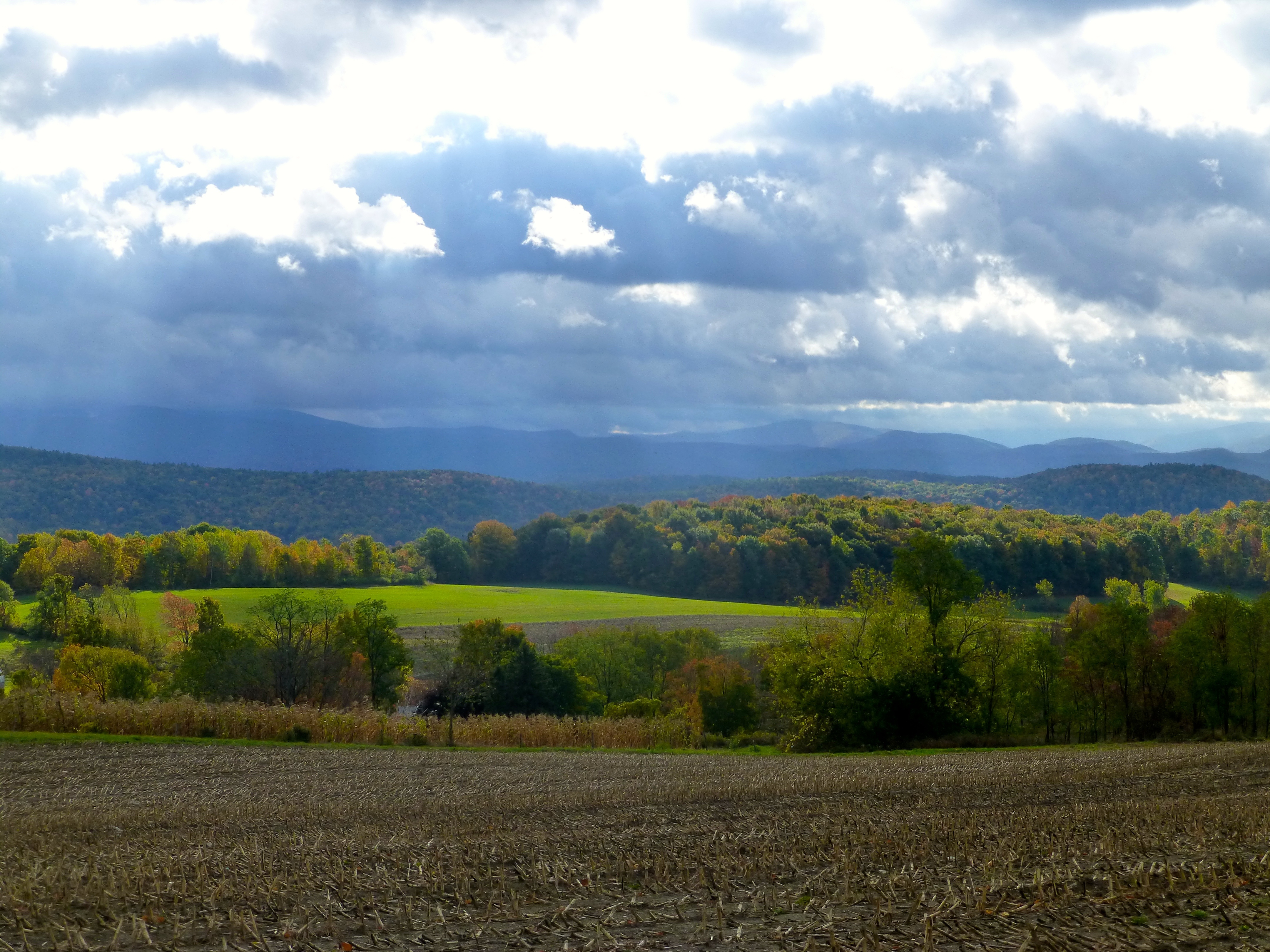
A Farm in Granville

CH-IntheGarden-Sum1897

CH-JohnRBlackHouse-1898-1900

View eastward toward high Taconic Mountains, of southwestern Vermont, from Warnick Road, Hebron, Washington County, NY

View of the SE Adirondacks, Callaway Rd., Hebron, NY

The Five Combines - Feeder Canal

Mt Equinox, Vermont from Warnick Road
View of high Taconic Mt. peaks in southwestern Vermont, from Calloway Road, Hebron, Washington County, New York

CH-NAPresbCh-ca1899-1900

SEAdirondackView-Hartford
Argyle Airport

The View!

View of the northern Taconic Mts., NY-VT, from Callaway Rd.

Upstate NY Travels - Summit Lake, Argyle, NY
ArgyleView-HudsonChamplainValley

Five Combines - Feeder Canal

View of the northern Taconic Mts., NY-VT, from Callaway Rd.

The View From My Classroom Window

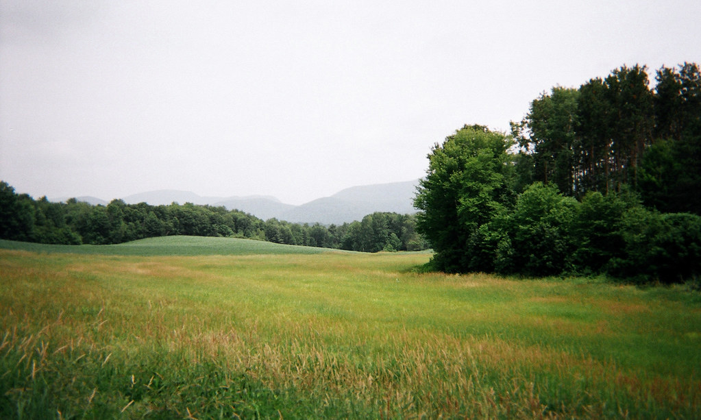
View of Vermont, Mapleland Farms

Master bedroom
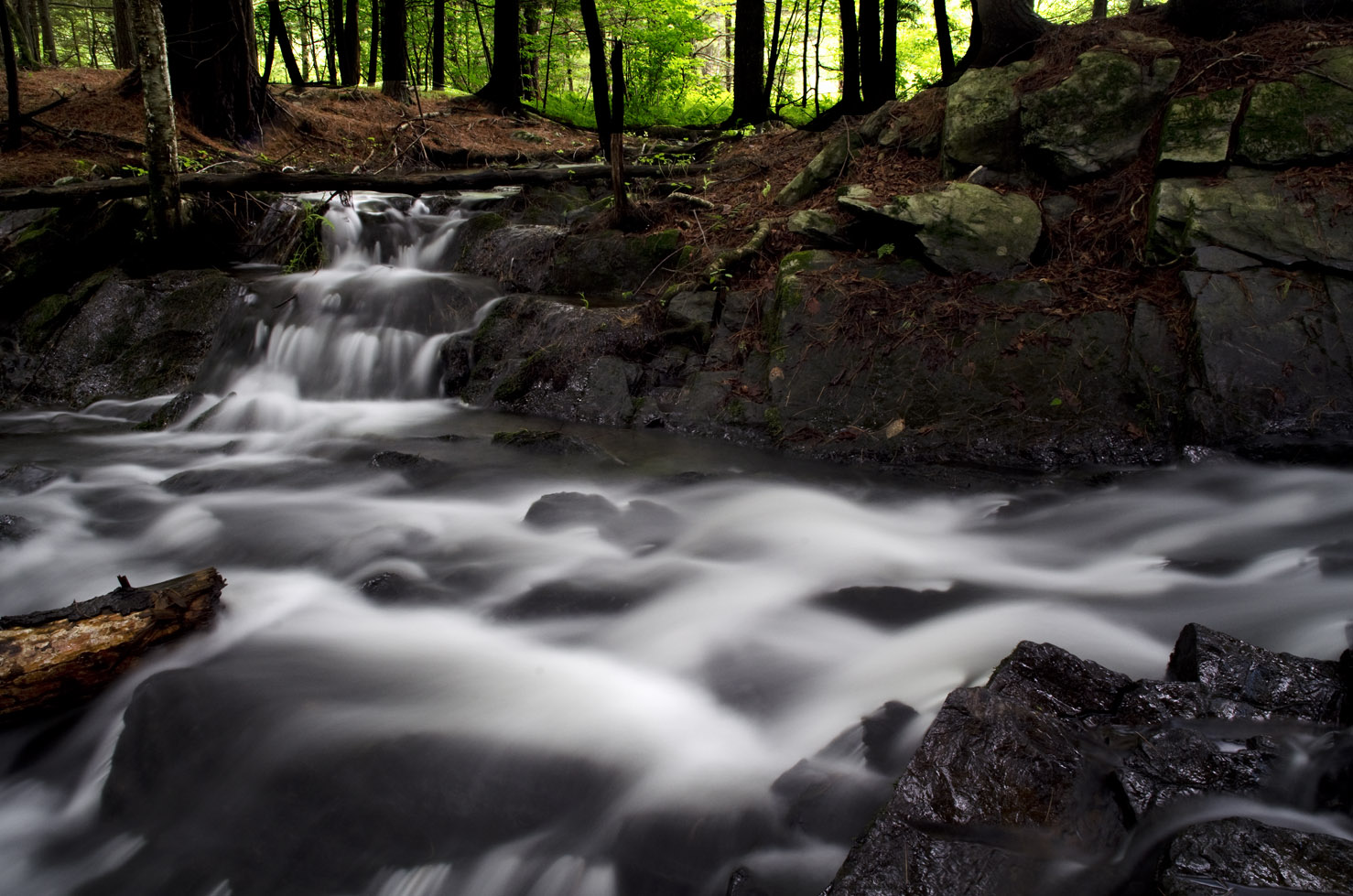
Waterfall East Hebron, NY
June haze, Warren Switch, Pawlet, VT

Cold Brook Reflections

Converging elements

The Five Combines

Argyle,N.Y.

The hills. I see them rollin'. Washington County Cheese Tour (map: bit.ly/wcct13, try next year). Sweet Spring Farm - Argyle Cheese Farmer - Longview Farm - Sugarloaf Farm is easy (and you end up close to Lake George, boom).

Abandoned slate quarry, West Pawlet, VT

East-dipplng slate, abandoned slate quarry, West Pawlet, VT

Ordovician Mt. Merino Formation, Granville, NY

Taconic Front, Argyle, NY

East Hebron School

CH1-Stream-1898

Moonrise over farm

Fort Edward Grasslands
Topographic Map of County Rte 30, Granville, NY, USA
Find elevation by address:

Places near County Rte 30, Granville, NY, USA:
5245 County Rte 30
1 Townsend Rd, Hartford, NY, USA
Hartford
45 Co Rd 23
45 Co Rd 23
45 Co Rd 23
45 Co Rd 23
45 Co Rd 23
45 Co Rd 23
243 Pope Hill Rd
35 Christian Hill Rd
Halls Pond Road
163 Pope Hill Rd
456 Goose Island Rd
428 Goose Island Rd
24 Safford Rd
Hartford
400 Goose Island Rd
Co Rd 31, Granville, NY, USA
429 Goose Island Rd
Recent Searches:
- Elevation of Corso Fratelli Cairoli, 35, Macerata MC, Italy
- Elevation of Tallevast Rd, Sarasota, FL, USA
- Elevation of 4th St E, Sonoma, CA, USA
- Elevation of Black Hollow Rd, Pennsdale, PA, USA
- Elevation of Oakland Ave, Williamsport, PA, USA
- Elevation of Pedrógão Grande, Portugal
- Elevation of Klee Dr, Martinsburg, WV, USA
- Elevation of Via Roma, Pieranica CR, Italy
- Elevation of Tavkvetili Mountain, Georgia
- Elevation of Hartfords Bluff Cir, Mt Pleasant, SC, USA