Elevation of 45 Co Rd 23, Granville, NY, USA
Location: United States > New York > Washington County > Hartford > Hartford >
Longitude: -73.393351
Latitude: 43.3642578
Elevation: 120m / 394feet
Barometric Pressure: 100KPa
Elevation Map:
Satellite Map:
Related Photos:
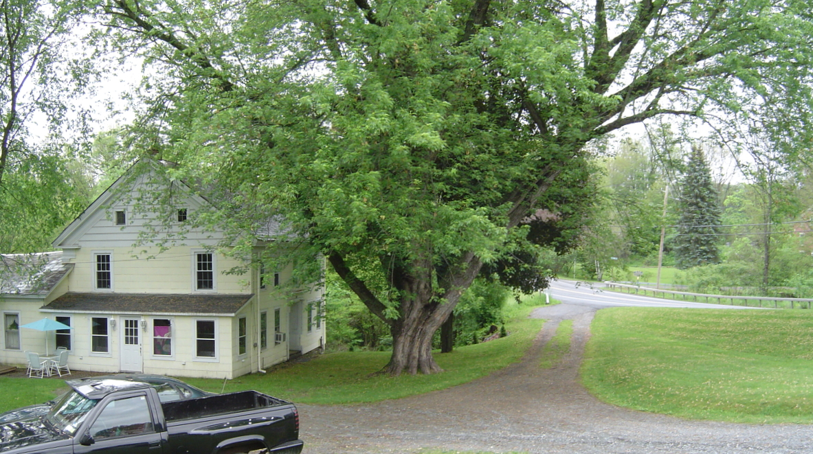
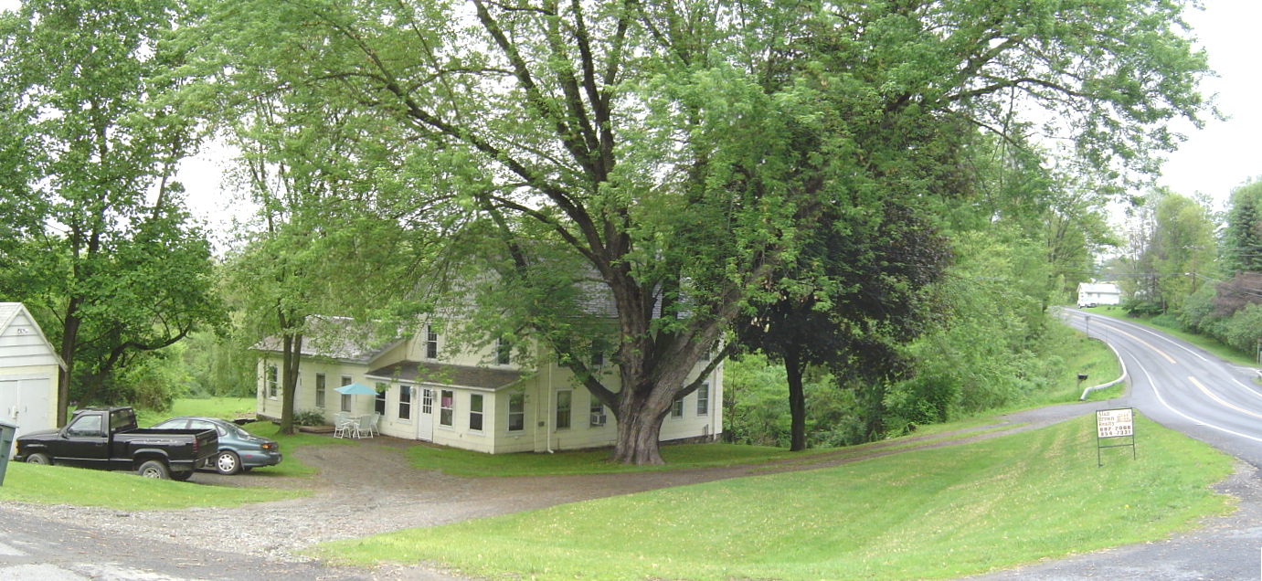
2 Townsend
The View!

2 Townsend

Master bedroom
2 Townsend
2 Townsend
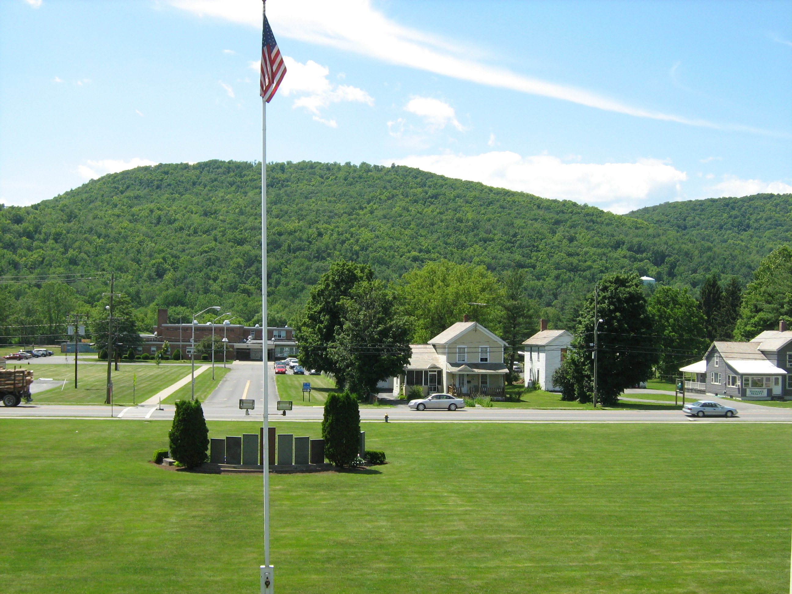
The View From My Classroom Window
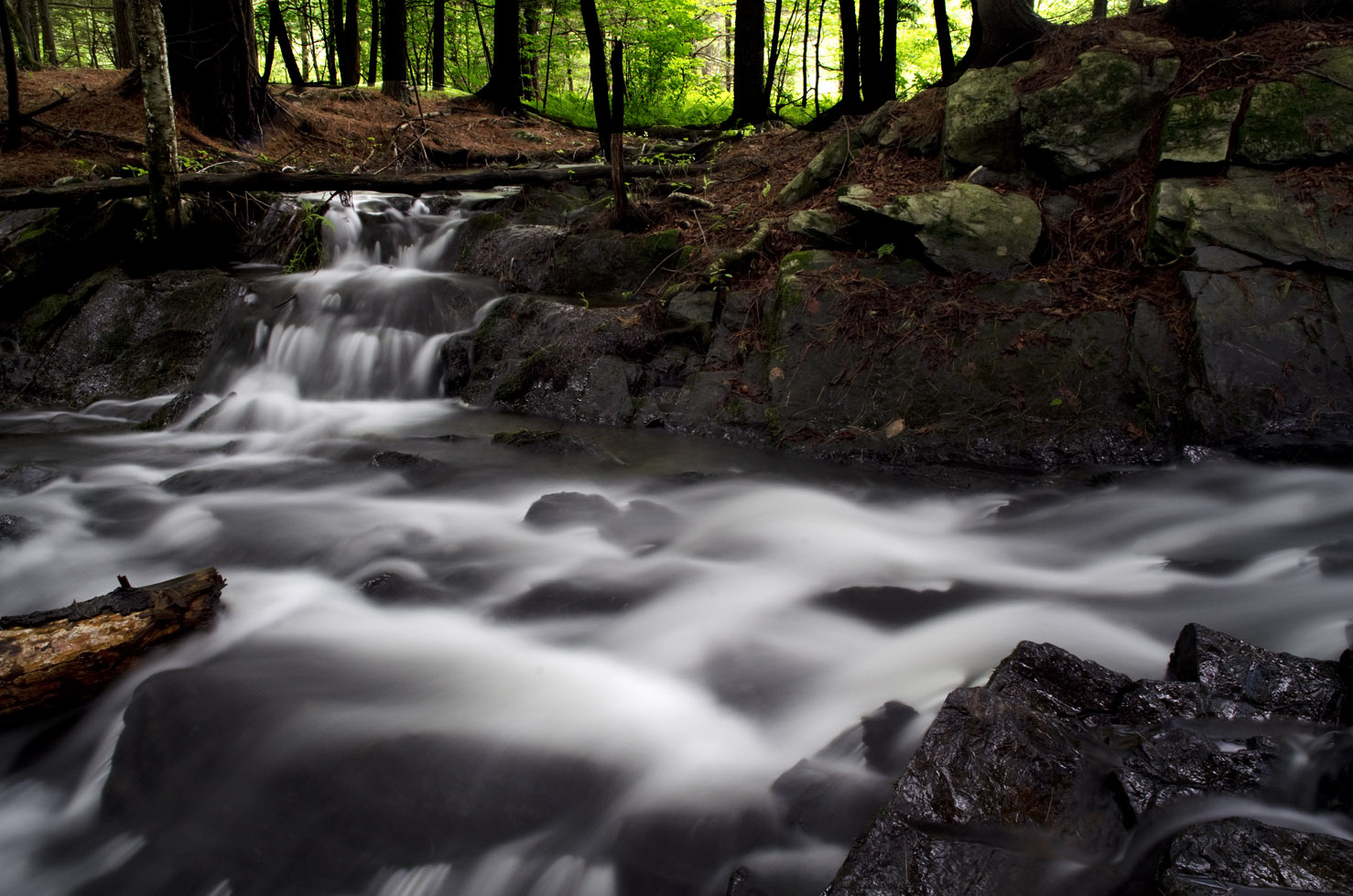
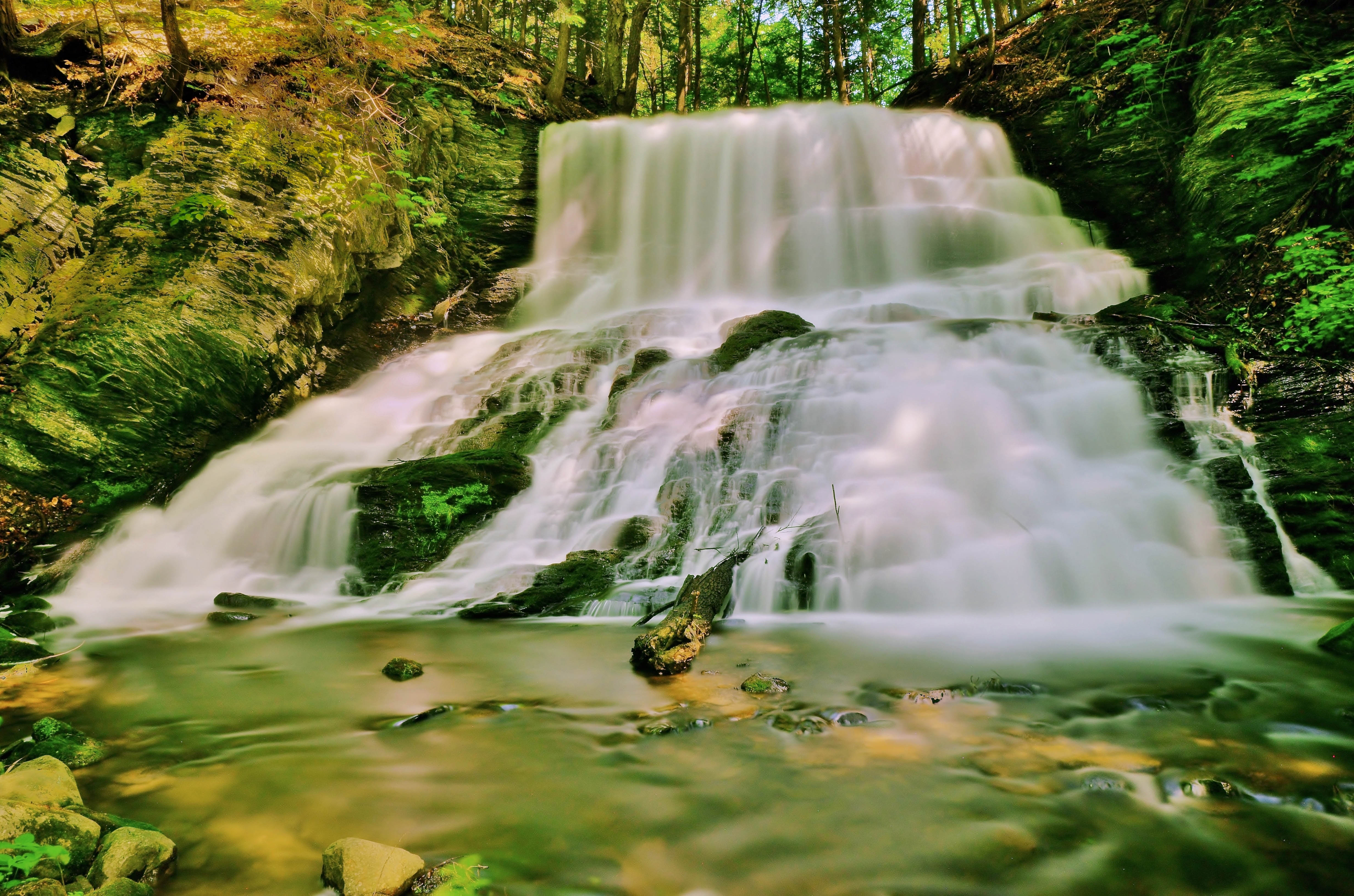
Waterfall East Hebron, NY
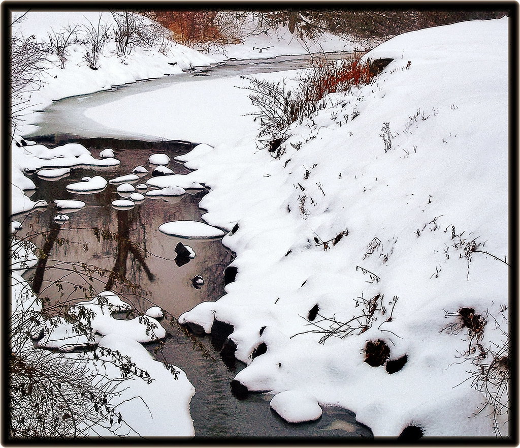
Cold Brook Reflections
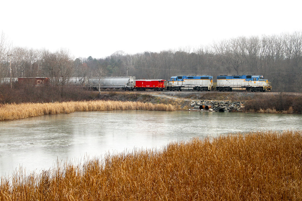
CP DA13 @ Whitehall
Argyle,N.Y.
Converging elements
Vermont XP
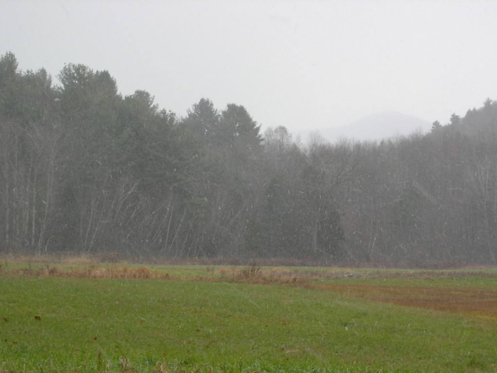
Mettowee School Cornfield Debris High Water Line 2
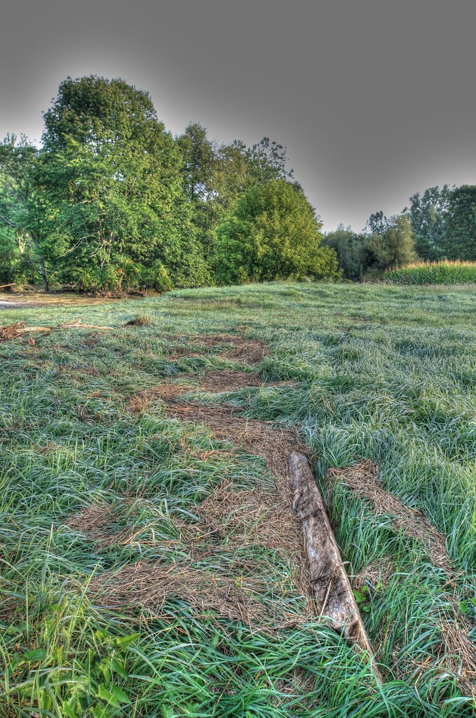
Mettowee School Cornfield Debris High Water Line 1

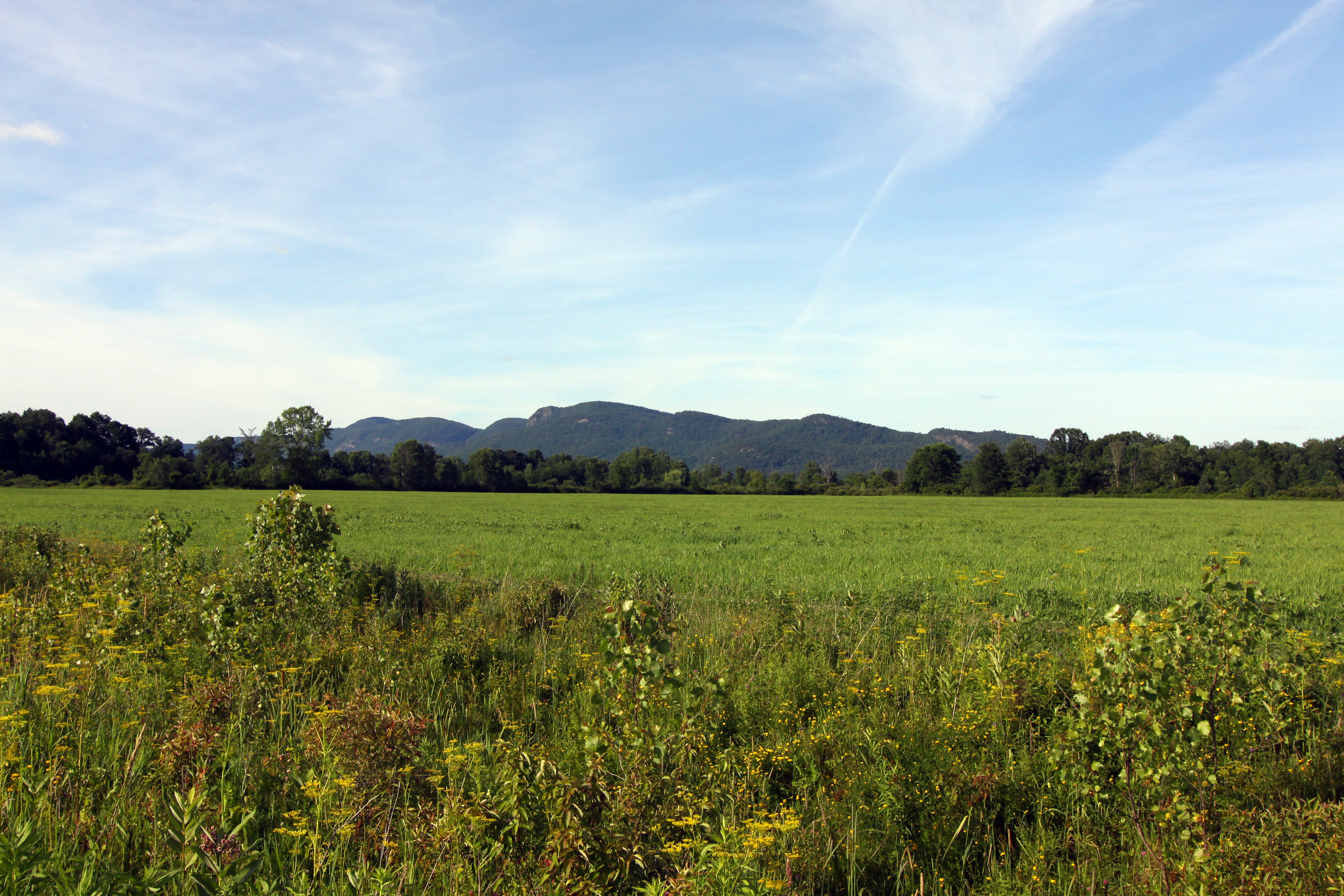
The hills. I see them rollin'. Washington County Cheese Tour (map: bit.ly/wcct13, try next year). Sweet Spring Farm - Argyle Cheese Farmer - Longview Farm - Sugarloaf Farm is easy (and you end up close to Lake George, boom).
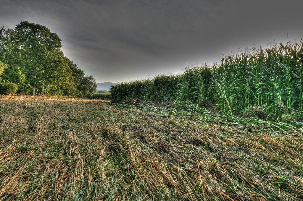
Mettowee School Streamlined Cornfield 1

Adirondacks 120
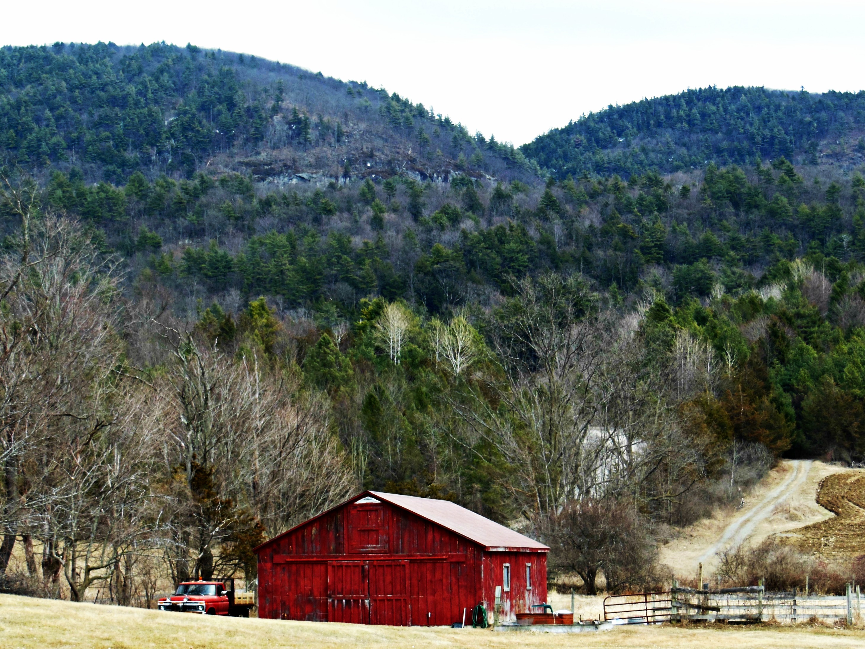
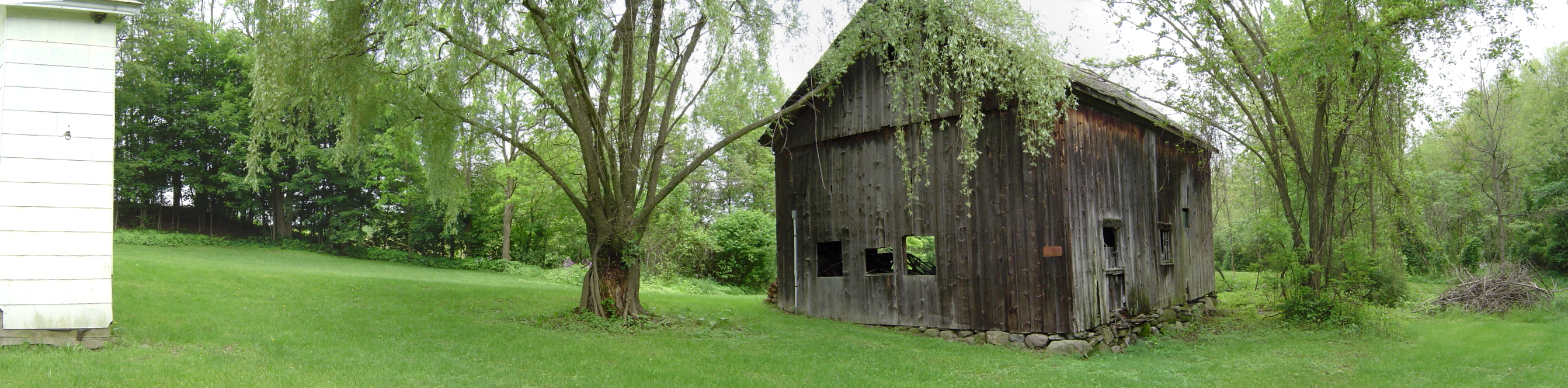
Red Barn 3/31/13
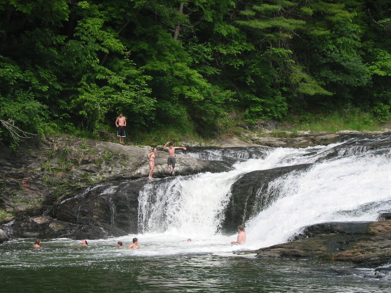
"The Foamies" Swimming hole on the Mettowee River in Grandville,NY
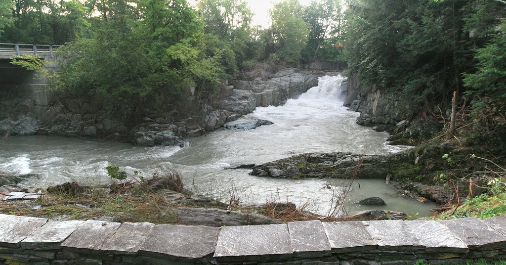
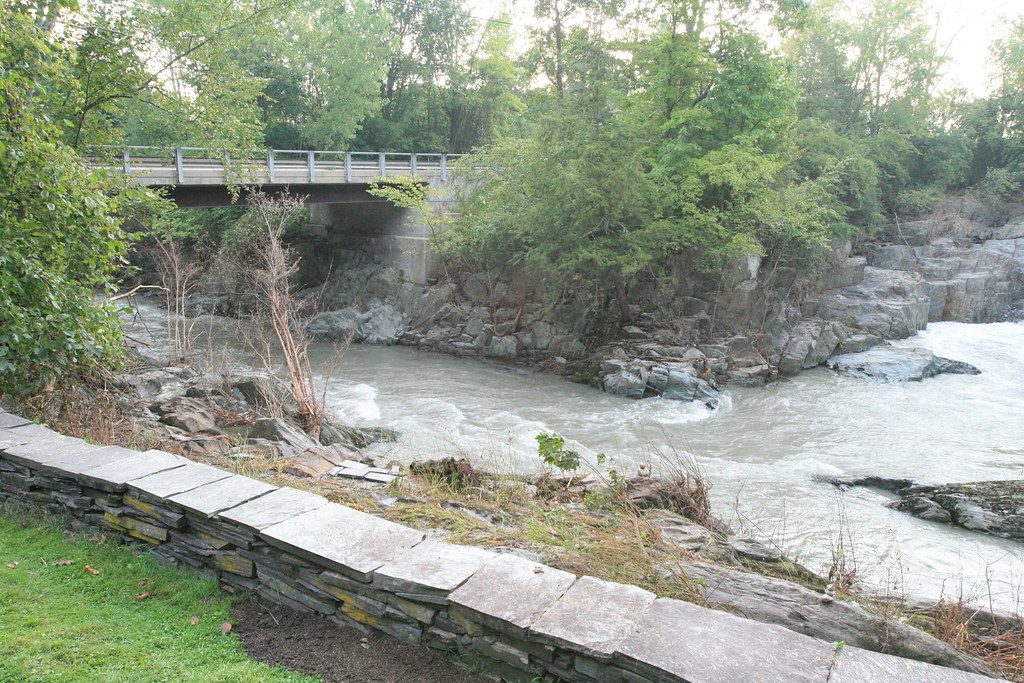
Button Falls
Button Falls
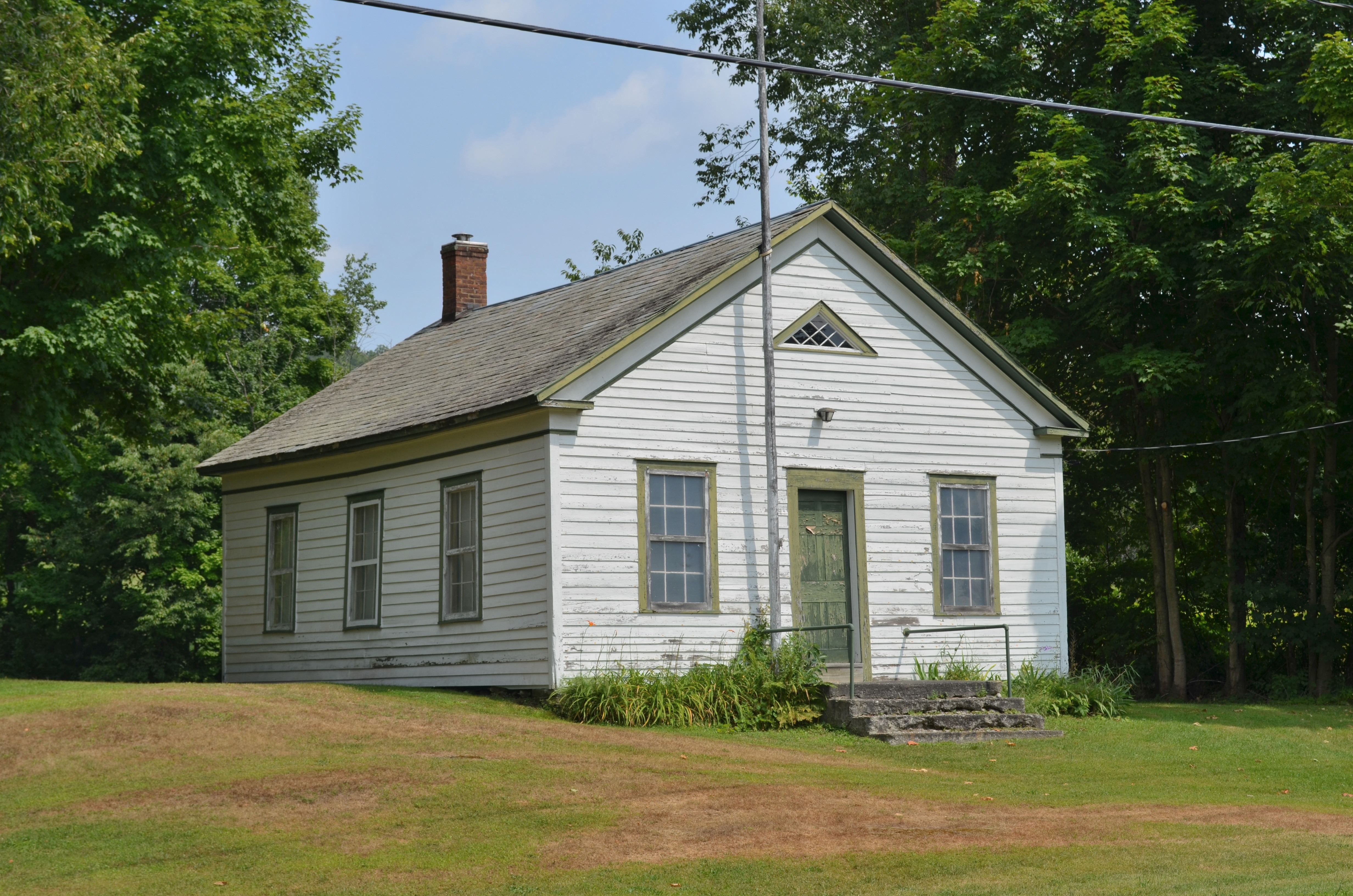
East Hebron School
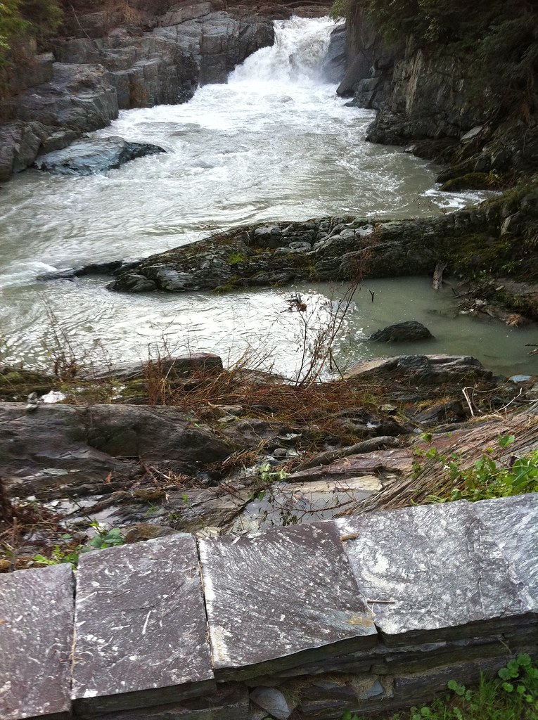
Button Falls Scouring, flood wrack and nicked trees
River Rd, Pawlet
High water marks - Button Falls, Pawlet VT
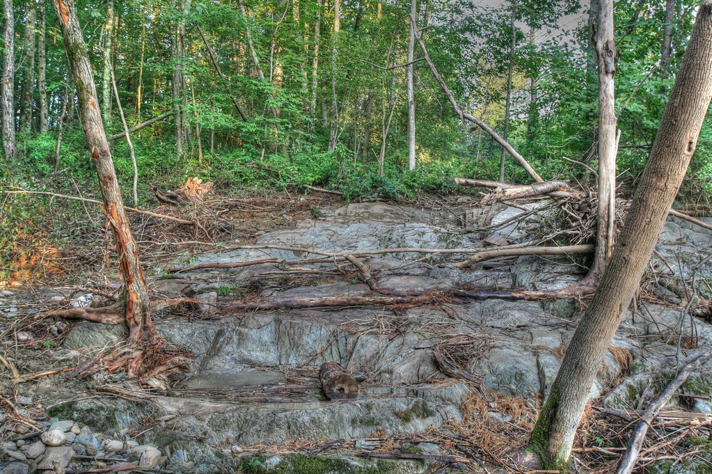
Flood Wrack, Nicked and Scoured Trees
Topographic Map of 45 Co Rd 23, Granville, NY, USA
Find elevation by address:

Places near 45 Co Rd 23, Granville, NY, USA:
45 Co Rd 23
45 Co Rd 23
45 Co Rd 23
45 Co Rd 23
45 Co Rd 23
Hartford
35 Christian Hill Rd
1 Townsend Rd, Hartford, NY, USA
5526 County Rte 30
5245 County Rte 30
Hartford
243 Pope Hill Rd
163 Pope Hill Rd
1524 Baldwin Corners Rd
Halls Pond Road
Co Rd 23, Granville, NY, USA
24 Safford Rd
Co Rd 31, Granville, NY, USA
456 Goose Island Rd
428 Goose Island Rd
Recent Searches:
- Elevation of Corso Fratelli Cairoli, 35, Macerata MC, Italy
- Elevation of Tallevast Rd, Sarasota, FL, USA
- Elevation of 4th St E, Sonoma, CA, USA
- Elevation of Black Hollow Rd, Pennsdale, PA, USA
- Elevation of Oakland Ave, Williamsport, PA, USA
- Elevation of Pedrógão Grande, Portugal
- Elevation of Klee Dr, Martinsburg, WV, USA
- Elevation of Via Roma, Pieranica CR, Italy
- Elevation of Tavkvetili Mountain, Georgia
- Elevation of Hartfords Bluff Cir, Mt Pleasant, SC, USA