Elevation of Chamberlin Mills Rd, Salem, NY, USA
Location: United States > New York > Washington County > Salem > Salem >
Longitude: -73.330274
Latitude: 43.252741
Elevation: 152m / 499feet
Barometric Pressure: 100KPa
Elevation Map:
Satellite Map:
Related Photos:

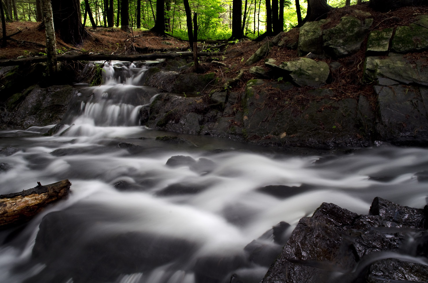
A Stroll Through The Woods

Good Morning Salem
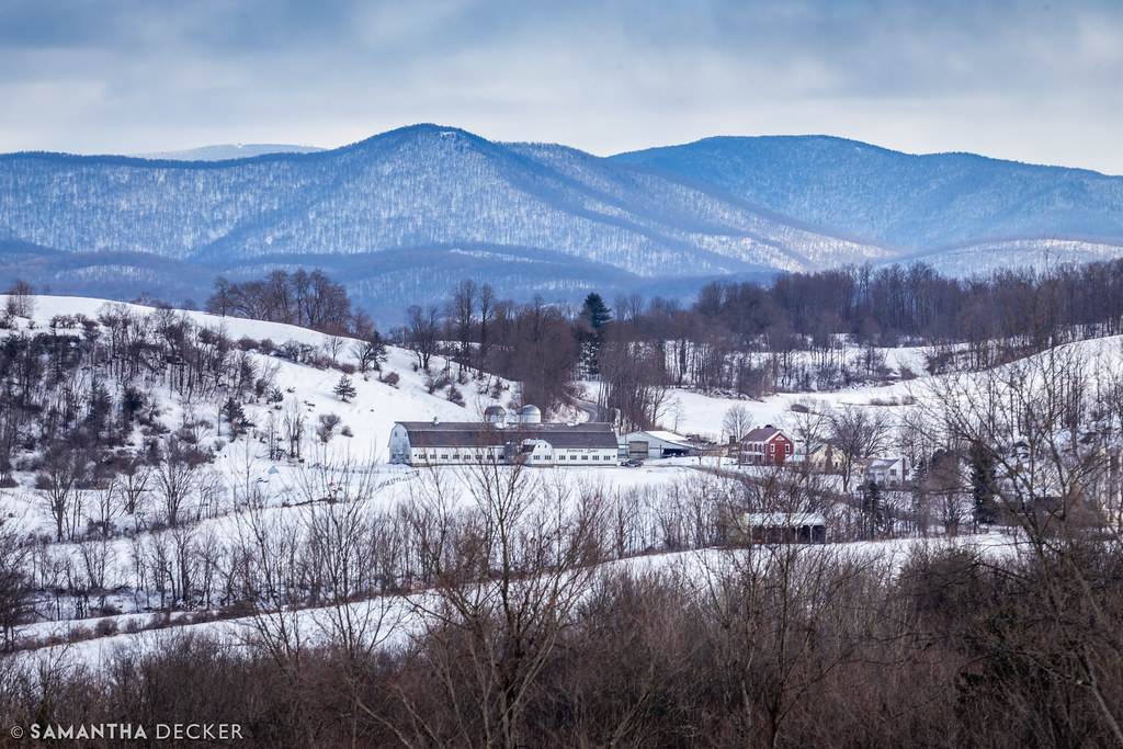
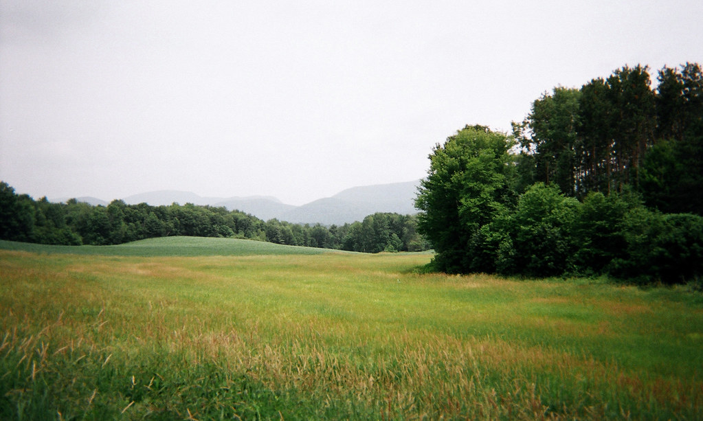
A Rural Winter View

Salem, NY, June 11, 1919

Rexleigh Covered Bridge

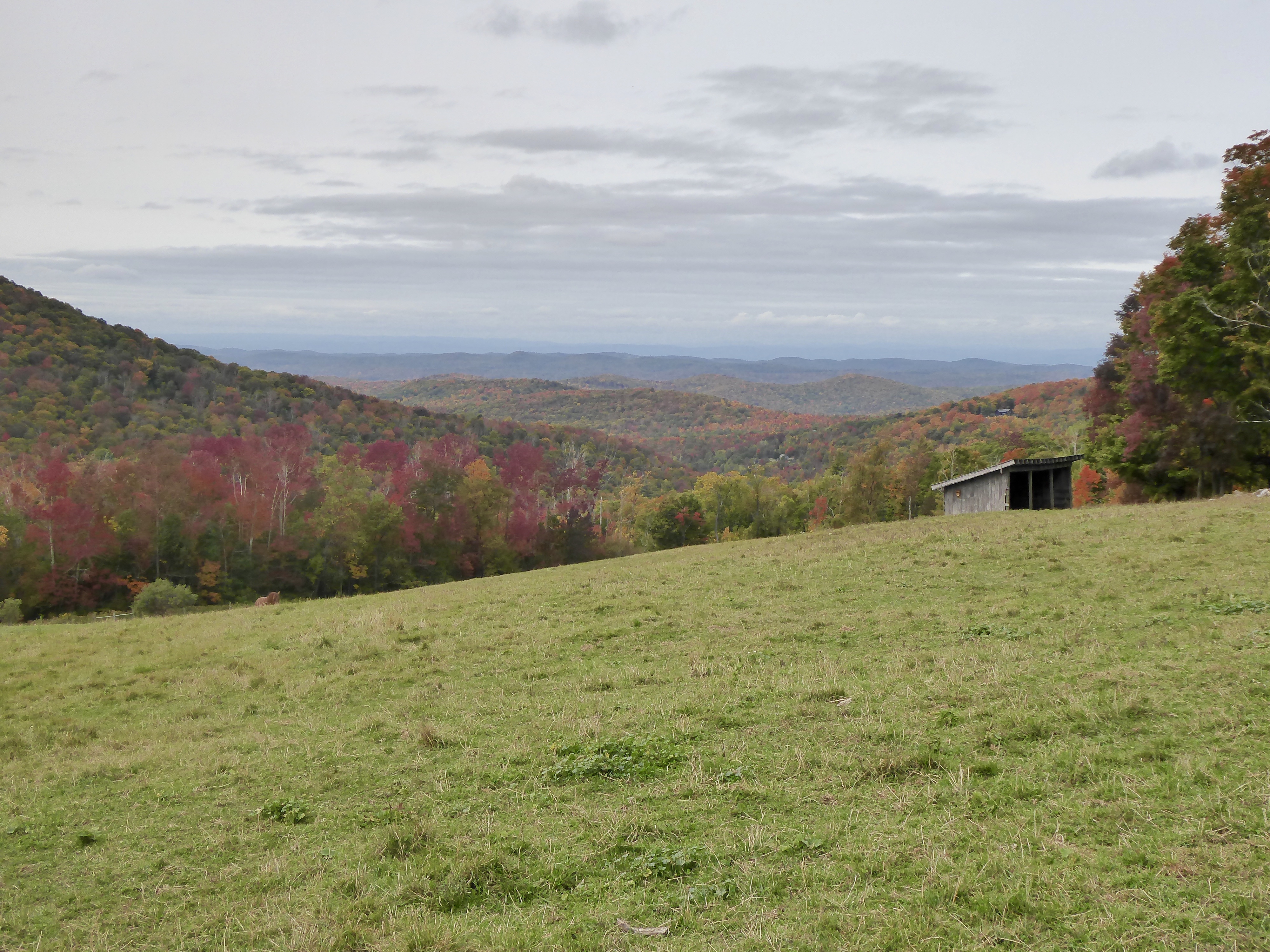
A Farm in Granville

CH-IntheGarden-Sum1897

CH-JohnRBlackHouse-1898-1900

View of the SE Adirondacks, Callaway Rd., Hebron, NY

View eastward toward high Taconic Mountains, of southwestern Vermont, from Warnick Road, Hebron, Washington County, NY

View of the northern Taconic Mts., NY-VT, from Callaway Rd.
Merck Forest, Rupert, VT

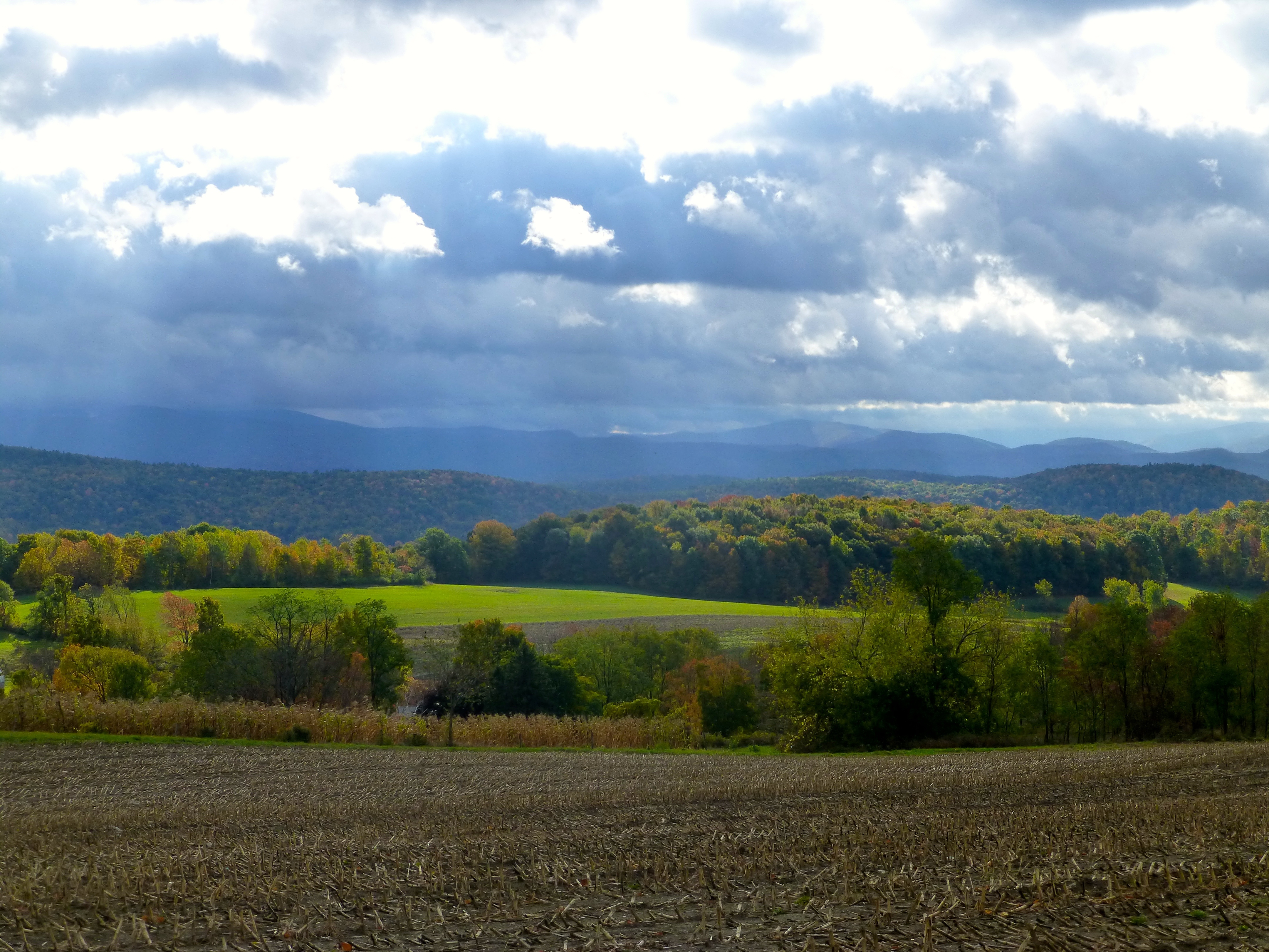
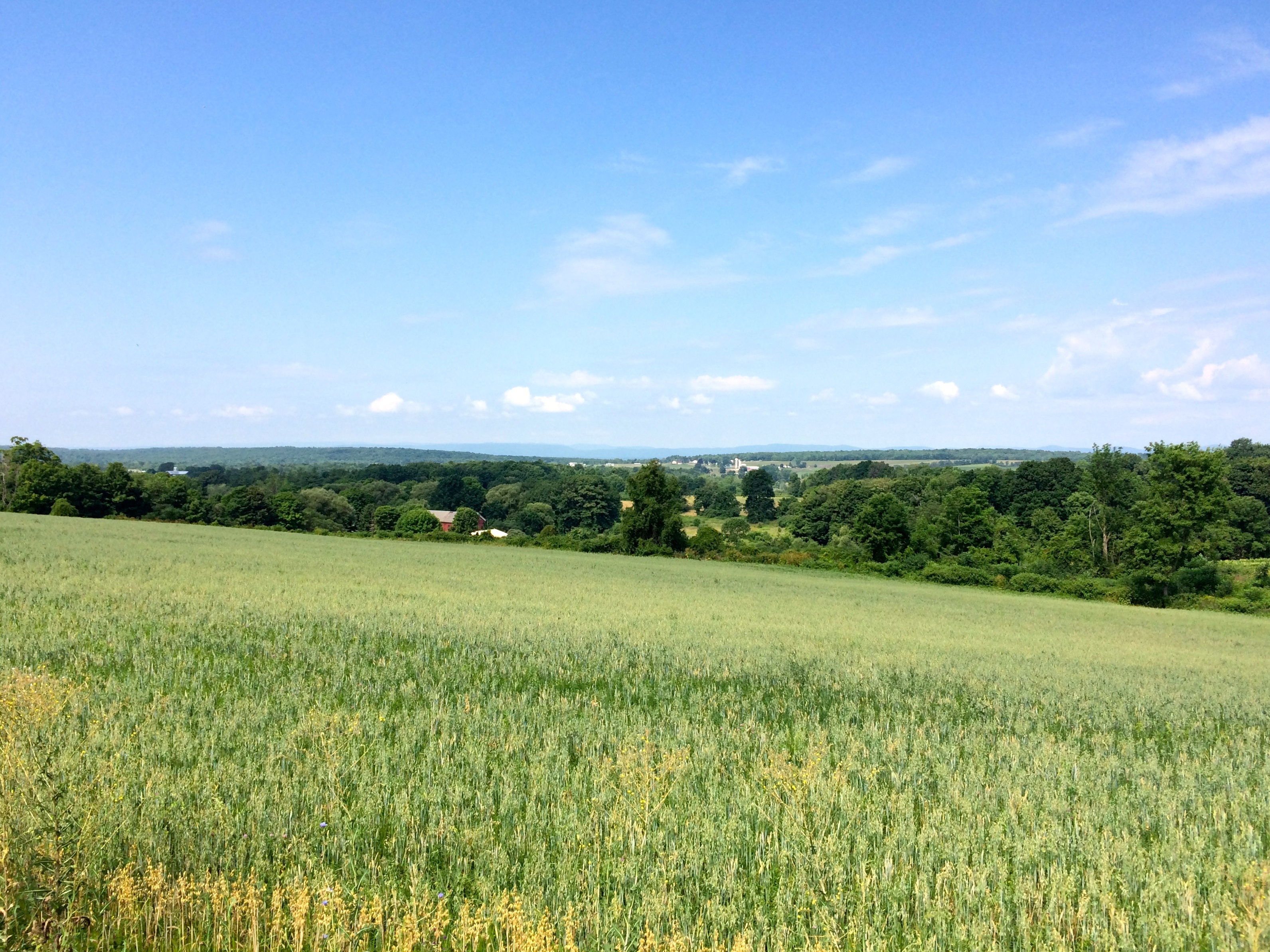
Taconic Front, Argyle, NY

Mt Equinox, Vermont from Warnick Road

CH-NAPresbCh-ca1899-1900
View of high Taconic Mt. peaks in southwestern Vermont, from Calloway Road, Hebron, Washington County, New York

BarkleyMt—Argyle

View out the back, Barn 2 Gallery

SEAdirondackView-Hartford

Merck Forest view
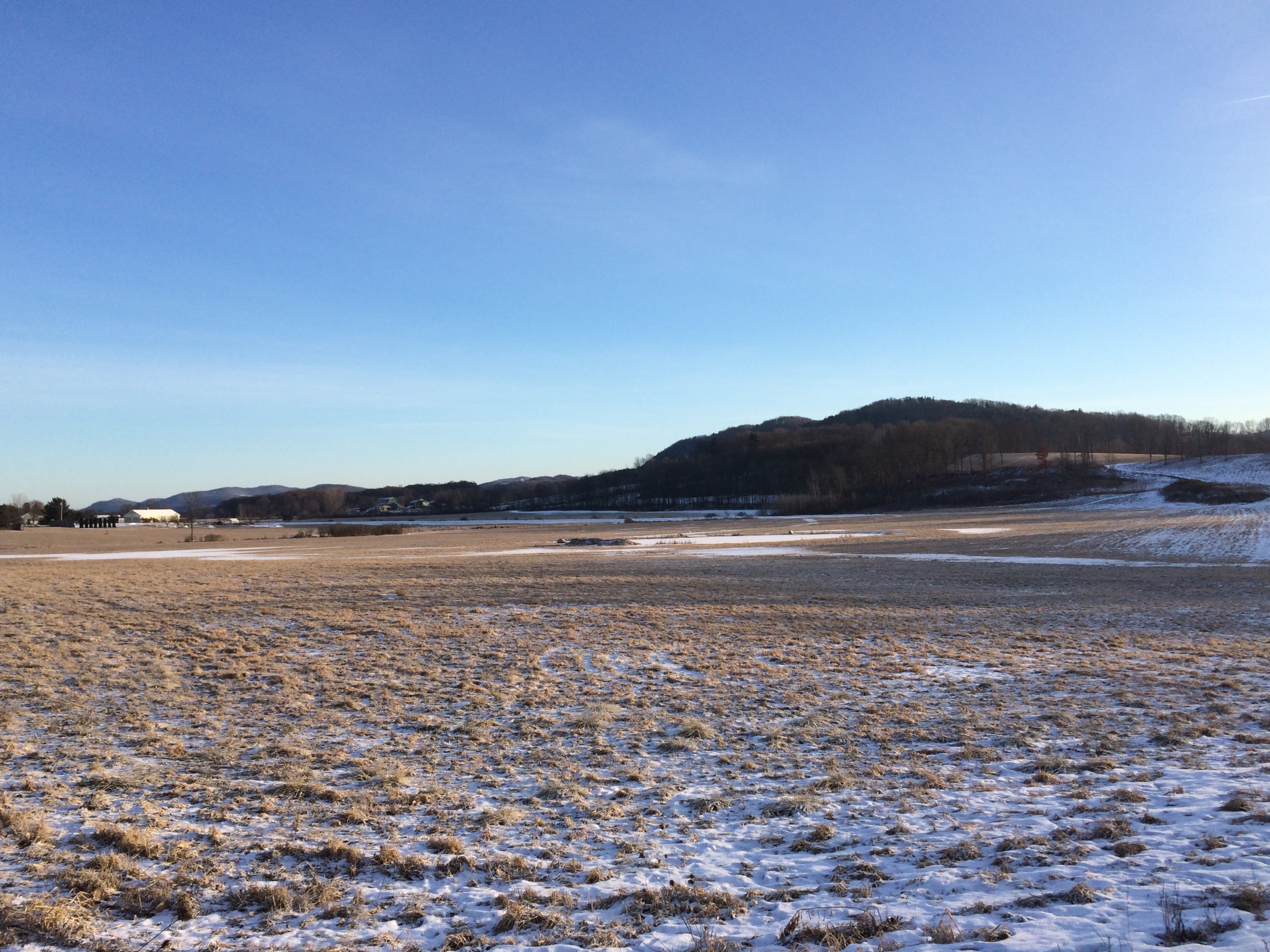
Argyle Airport
Waterfall East Hebron, NY
June haze, Warren Switch, Pawlet, VT

Ebenville Rd, Rupert, VT

Suffolk Punch Draft Horses

River Rd, Pawlet

View West from Antone Mountain
ArgyleView-HudsonChamplainValley

View East from Antone Mountain

Mettowee River 5

Mettowee River 2

Carter Pond Waterfowl Refuge #kayak #paddle

Spraguetown Falls

Chestnut-sided Warbler

Salem, NY, from Cary Hill, March 14, 1919
Topographic Map of Chamberlin Mills Rd, Salem, NY, USA
Find elevation by address:

Places near Chamberlin Mills Rd, Salem, NY, USA:
Chamberlin Mills Road
Tiplady Road
Hebron
Washington County
13 Indian Head Way
124 Sheldon Rd
NY-22, Granville, NY, USA
Halls Pond Road
Co Rd 31, Granville, NY, USA
426 Goose Island Rd
428 Goose Island Rd
Wicks Lane
400 Goose Island Rd
456 Goose Island Rd
5245 County Rte 30
429 Goose Island Rd
163 Co Rd 28
Co Rd 31, Granville, NY, USA
1 Goose Island Rd, Argyle, NY, USA
5526 County Rte 30
Recent Searches:
- Elevation of Corso Fratelli Cairoli, 35, Macerata MC, Italy
- Elevation of Tallevast Rd, Sarasota, FL, USA
- Elevation of 4th St E, Sonoma, CA, USA
- Elevation of Black Hollow Rd, Pennsdale, PA, USA
- Elevation of Oakland Ave, Williamsport, PA, USA
- Elevation of Pedrógão Grande, Portugal
- Elevation of Klee Dr, Martinsburg, WV, USA
- Elevation of Via Roma, Pieranica CR, Italy
- Elevation of Tavkvetili Mountain, Georgia
- Elevation of Hartfords Bluff Cir, Mt Pleasant, SC, USA