Elevation of S Old Hwy 80, Gila Bend, AZ, USA
Location: United States > Arizona > Maricopa County >
Longitude: -113.21095
Latitude: 32.859719
Elevation: 210m / 689feet
Barometric Pressure: 99KPa
Elevation Map:
Satellite Map:
Related Photos:

Sweeney Congress
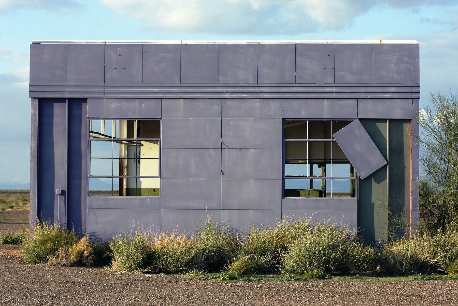
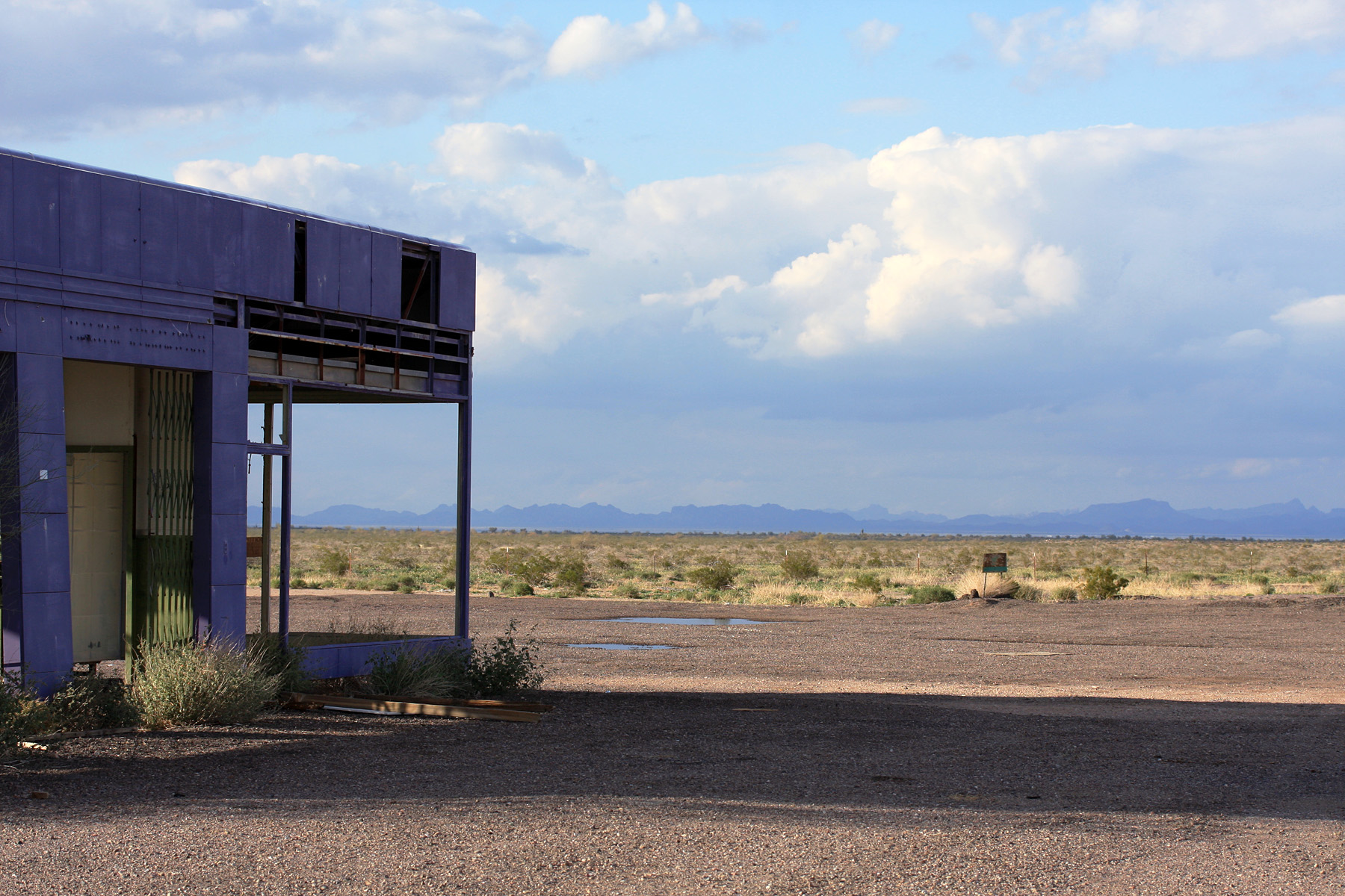
Closed but Open
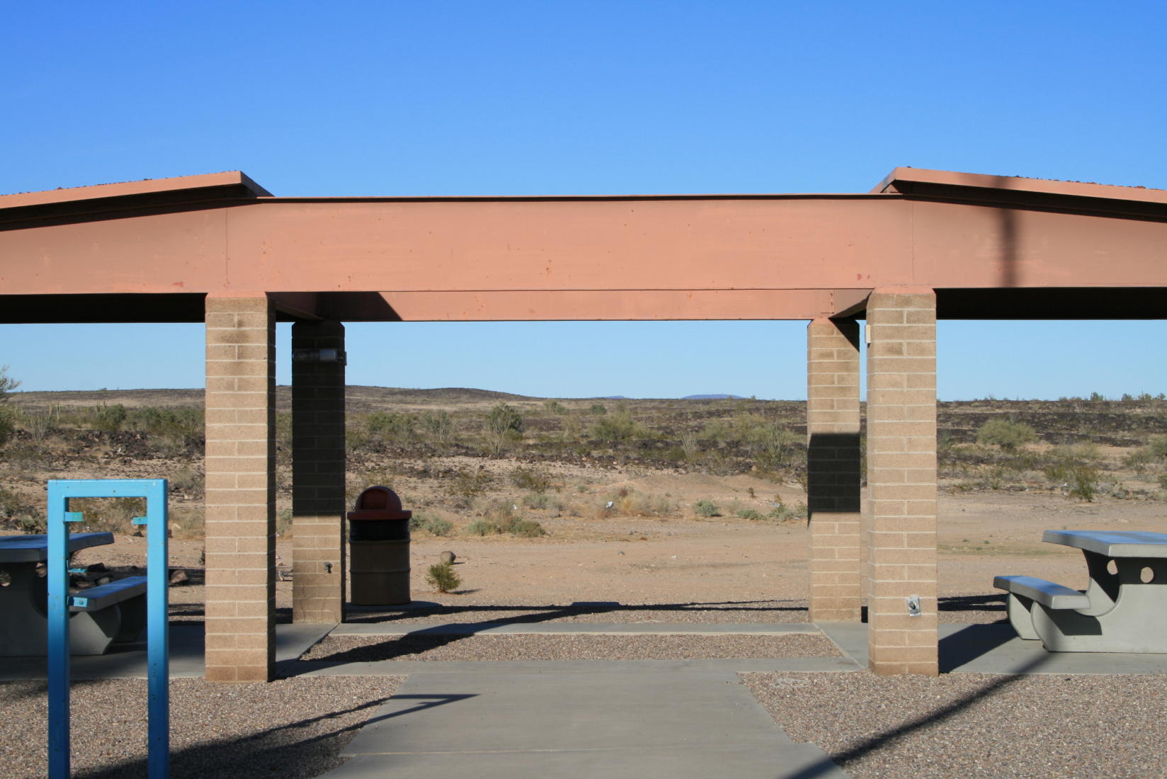
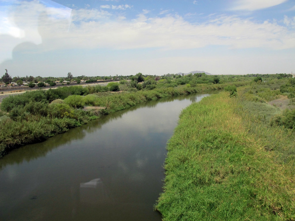
Westbound Oasis

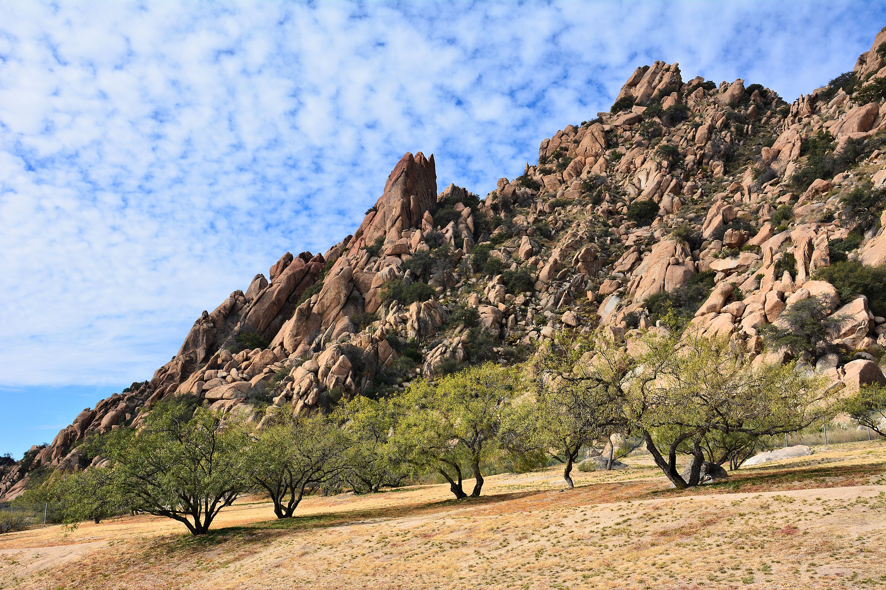
A little Hohkam, a little Patayan...
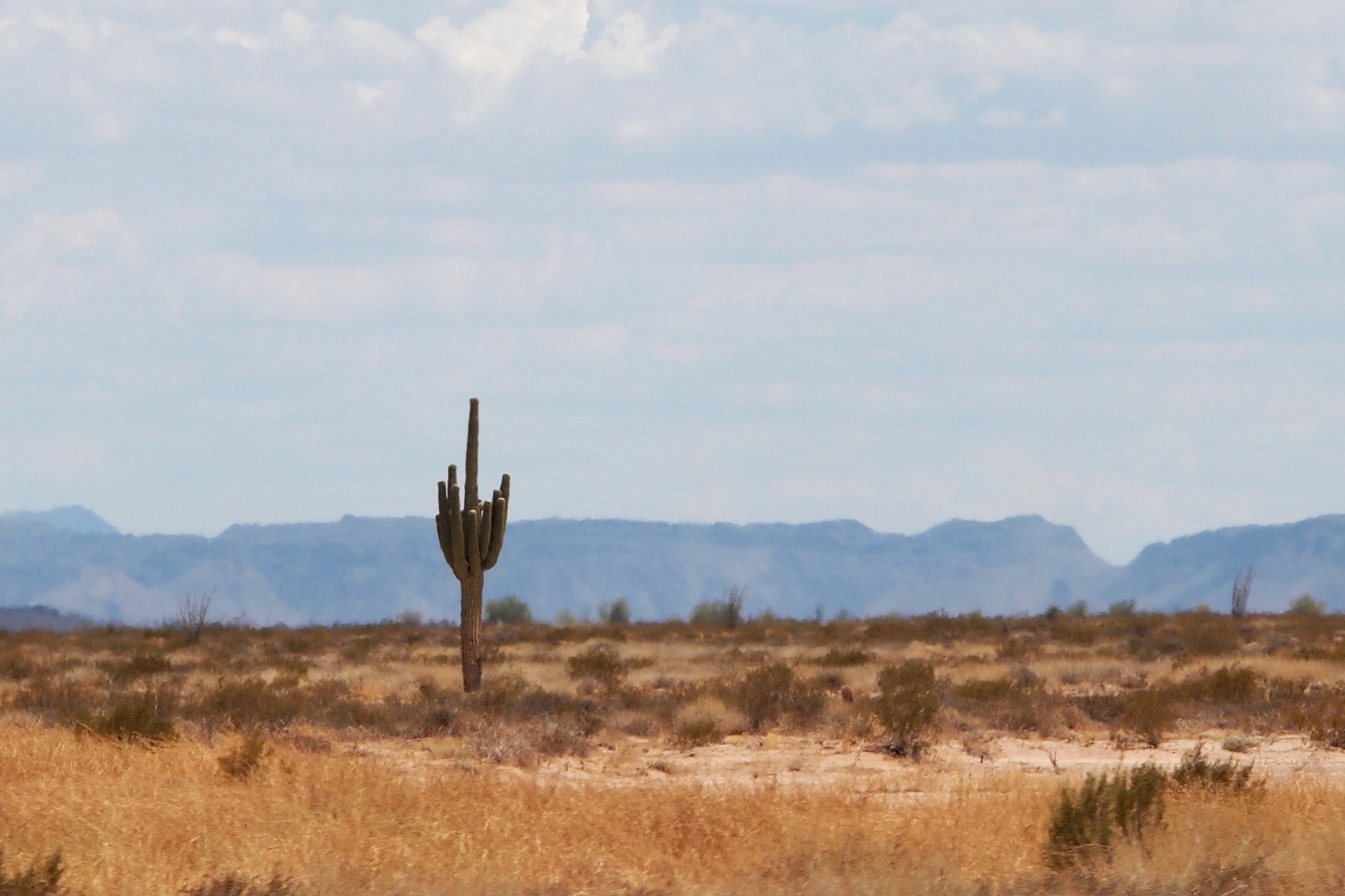
Saguaro Cactus alongside Interstate 8 West of Gila Bend, AZ_P7170652c6e2
111914-381F
Not Much Doing in Sentinel, Arizona

111914-382F
On the road
Westbound Oasis
Topographic Map of S Old Hwy 80, Gila Bend, AZ, USA
Find elevation by address:

Places near S Old Hwy 80, Gila Bend, AZ, USA:
Painted Rock Petroglyph Site And Campground
Palomas Rd, Dateland, AZ, USA
Dateland
Gila Bend
Sonoran Desert
S Old US 80, Buckeye, AZ, USA
Ajo
Saddle Mountain Blm Dispersed Camping
Arlington
8203 S 347th Ave
W Old Hwy 80, Palo Verde, AZ, USA
Tonopah
5339 S 330th Ave
26700 Buckeye Hills Dr
1132 N 358th Ave
Valley View Ranchettes
29702 W Old Hwy 80
Palo Verde
North 339th Avenue
35203 W Indian School Rd
Recent Searches:
- Elevation of Corso Fratelli Cairoli, 35, Macerata MC, Italy
- Elevation of Tallevast Rd, Sarasota, FL, USA
- Elevation of 4th St E, Sonoma, CA, USA
- Elevation of Black Hollow Rd, Pennsdale, PA, USA
- Elevation of Oakland Ave, Williamsport, PA, USA
- Elevation of Pedrógão Grande, Portugal
- Elevation of Klee Dr, Martinsburg, WV, USA
- Elevation of Via Roma, Pieranica CR, Italy
- Elevation of Tavkvetili Mountain, Georgia
- Elevation of Hartfords Bluff Cir, Mt Pleasant, SC, USA