Elevation of Palo Verde, AZ, USA
Location: United States > Arizona > Maricopa County >
Longitude: -112.67770
Latitude: 33.3483711
Elevation: 258m / 846feet
Barometric Pressure: 98KPa
Elevation Map:
Satellite Map:
Related Photos:

Cactus Wren

Gambel's Quail - Male

Laurisden Air Museum - Buckeye, Arizona.

Costa's Hummingbird

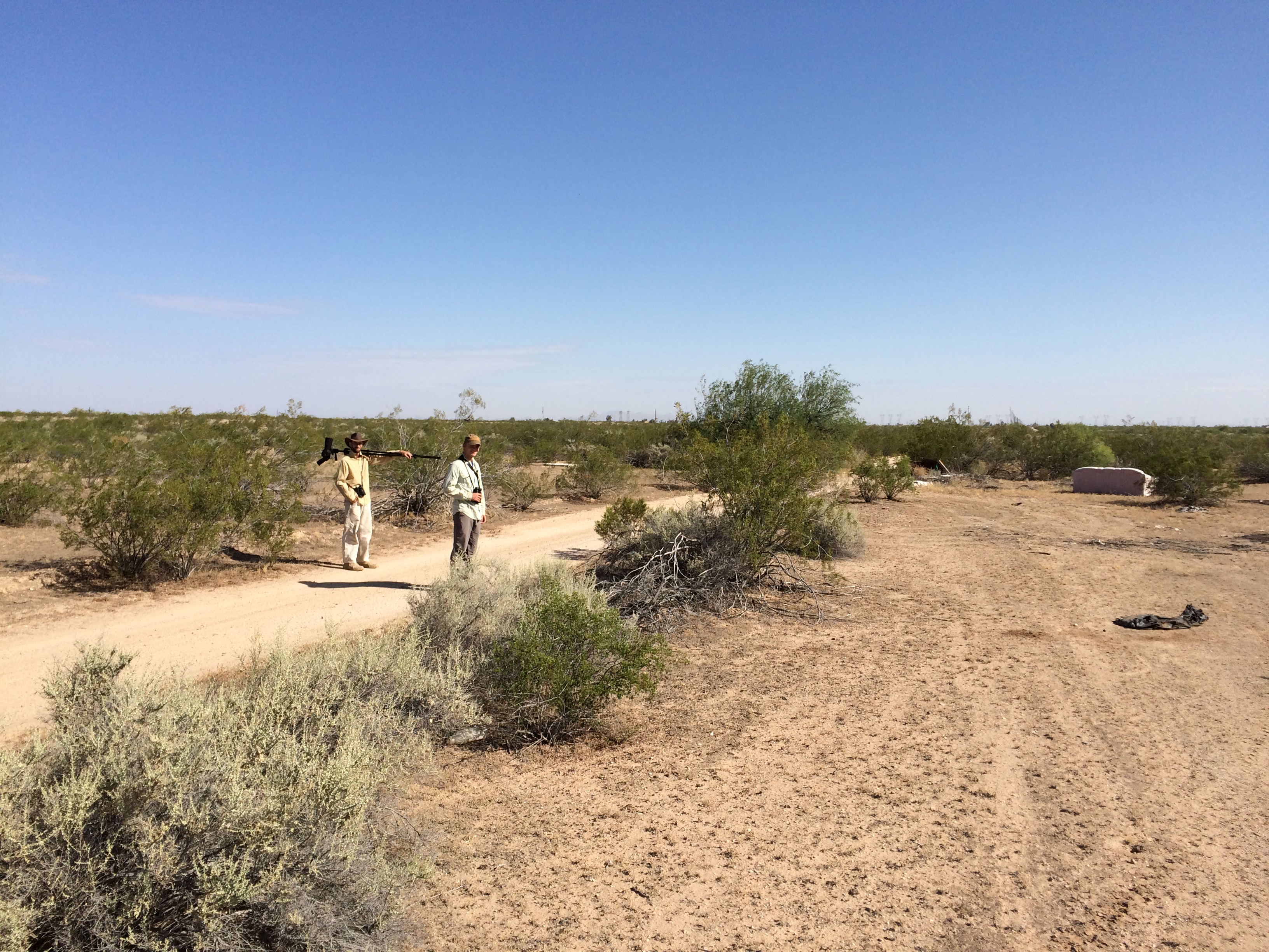
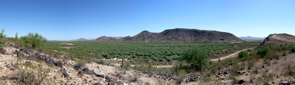
Panoramic View of Desert Dirt Road
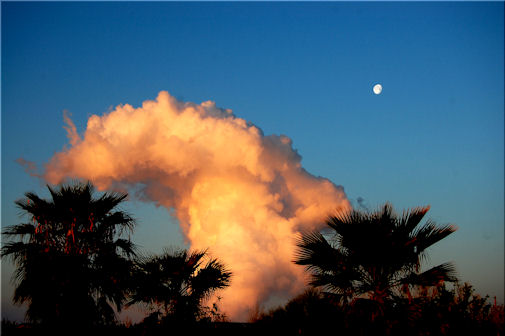
Tonopah Steam

Gilded Flicker
Le Conte's Thrasher habitat near Buckeye
Gila Trail

Arizona Landscape
Hangin' at the park

The Old US 80 03-29-2010
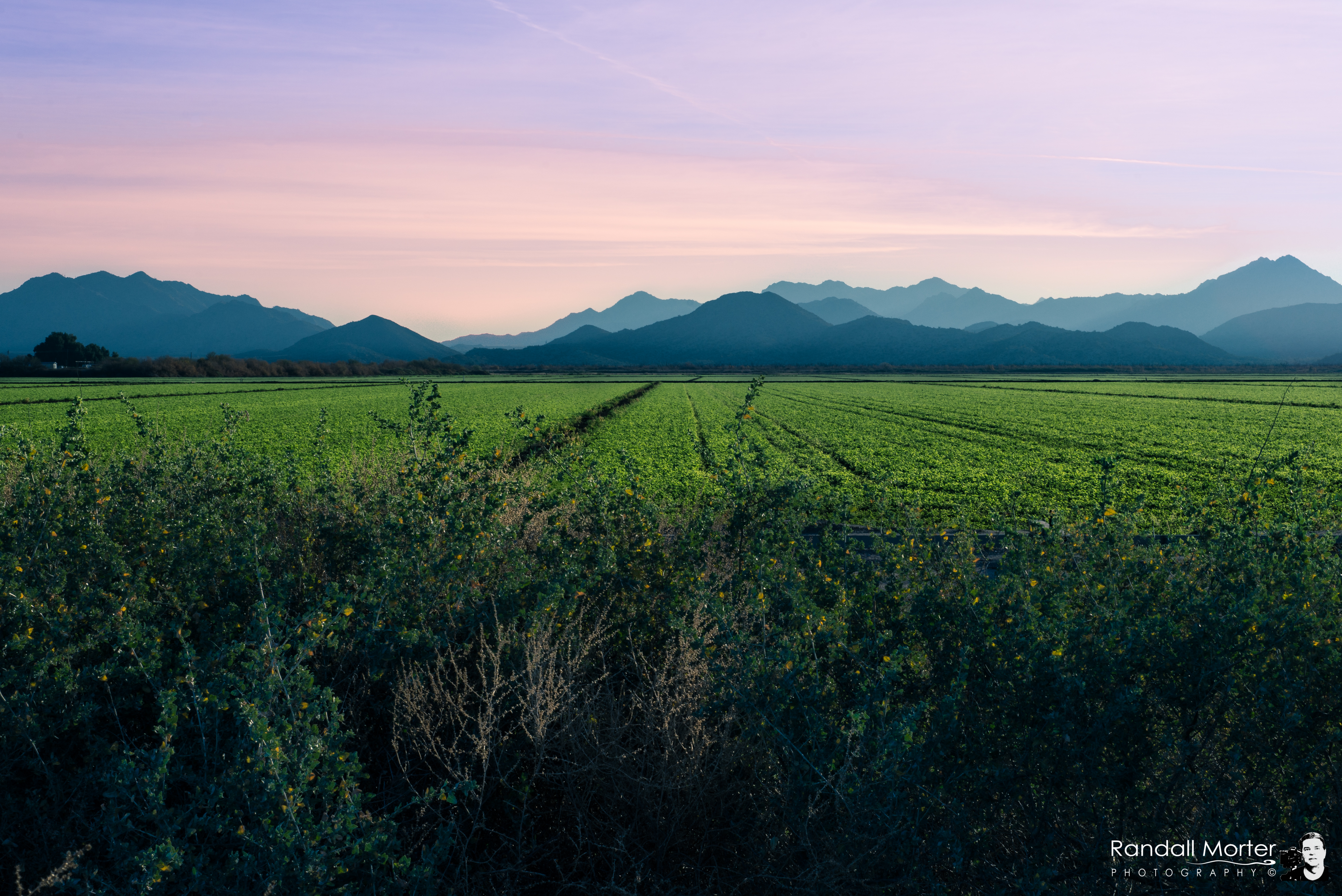
Arizona Pasture

Buckeye , Arizona Usa

Truck_082612_LR-109.jpg

2. Petroglyphs near Old US Hwy 80 just northwest of Gillespie Dam
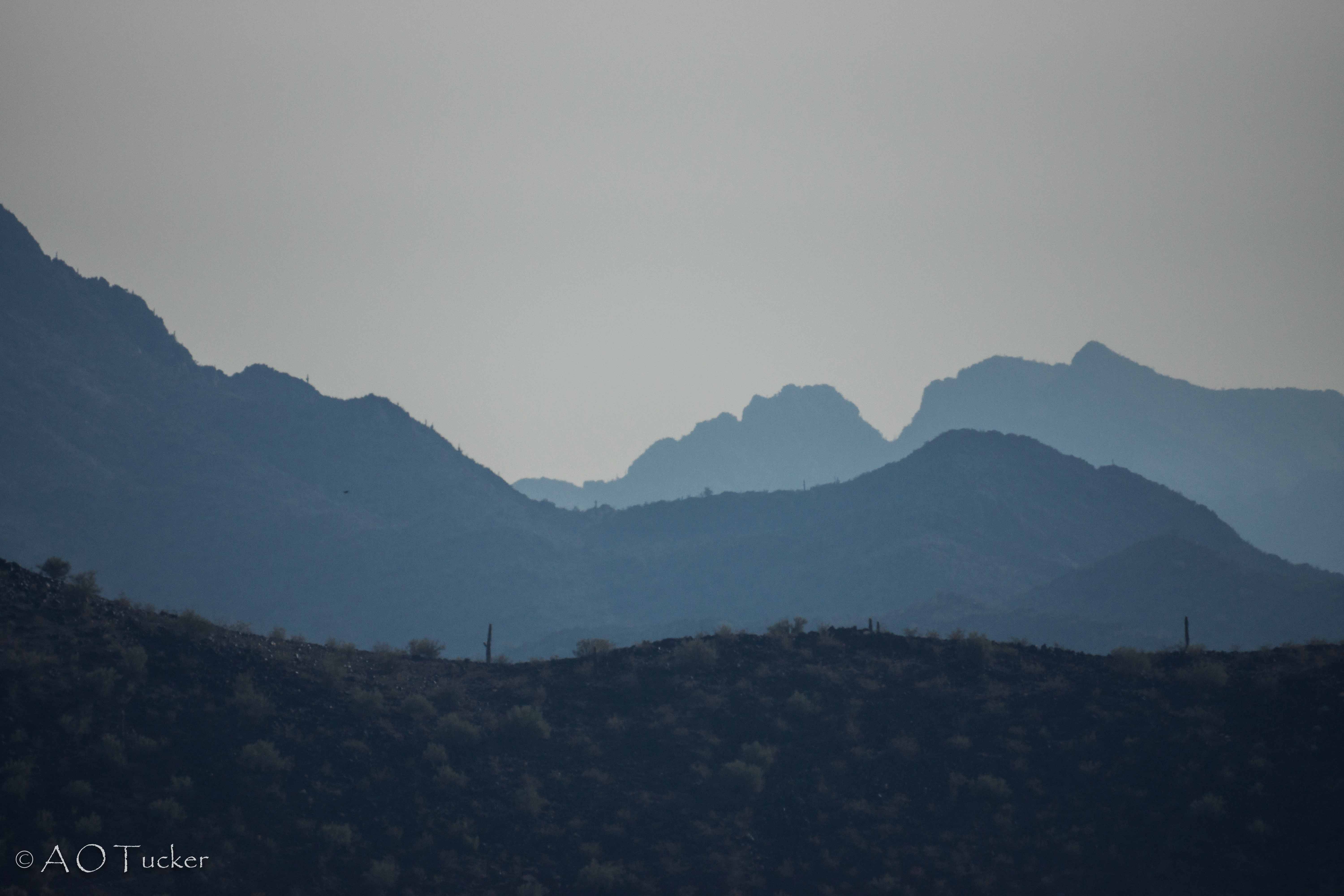
Black Hill And Layers
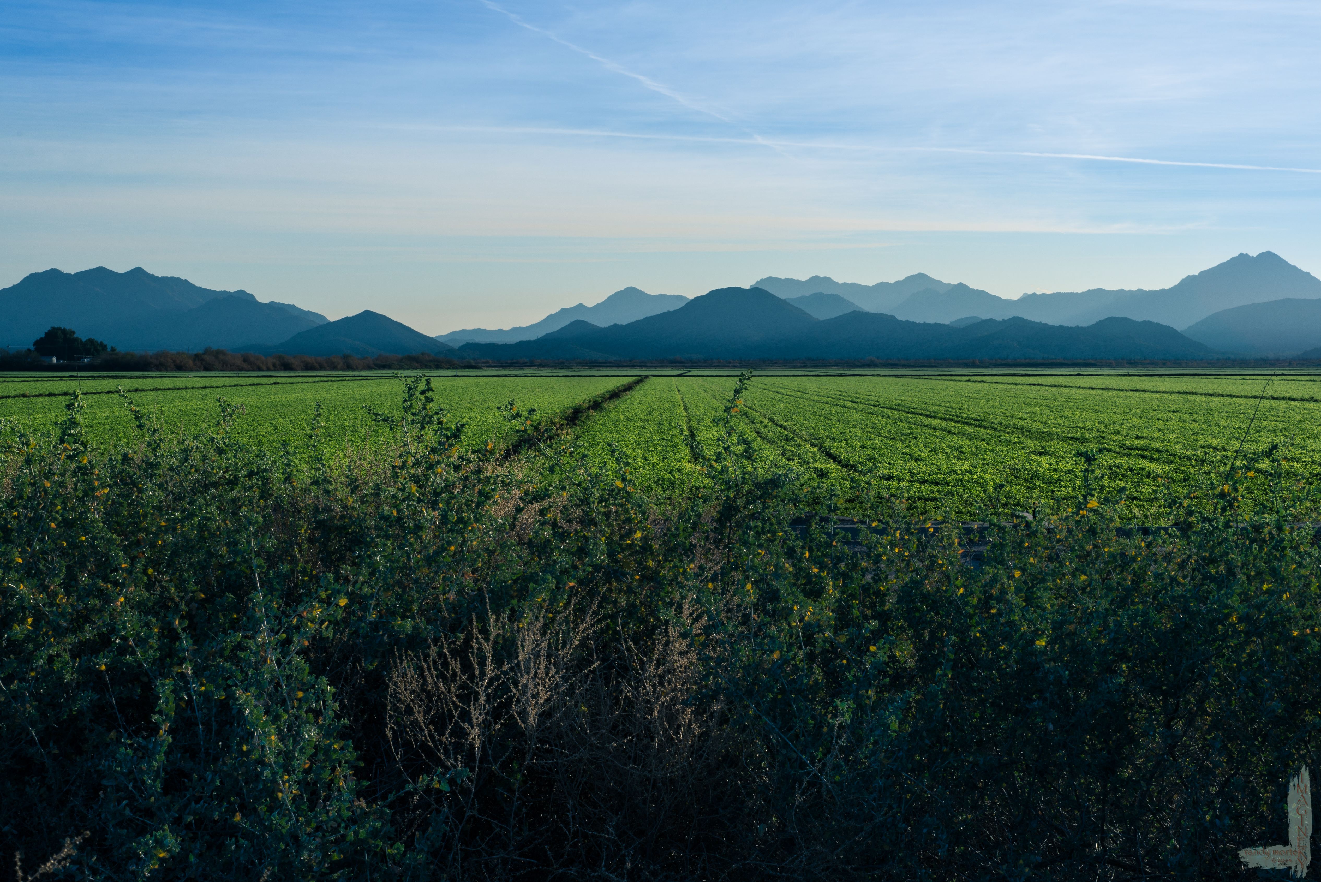
Arizona Pasture

Saguaro Cactus at Buckeye Hills Recreation Area, Maricopa County, Arizona_ P7170862
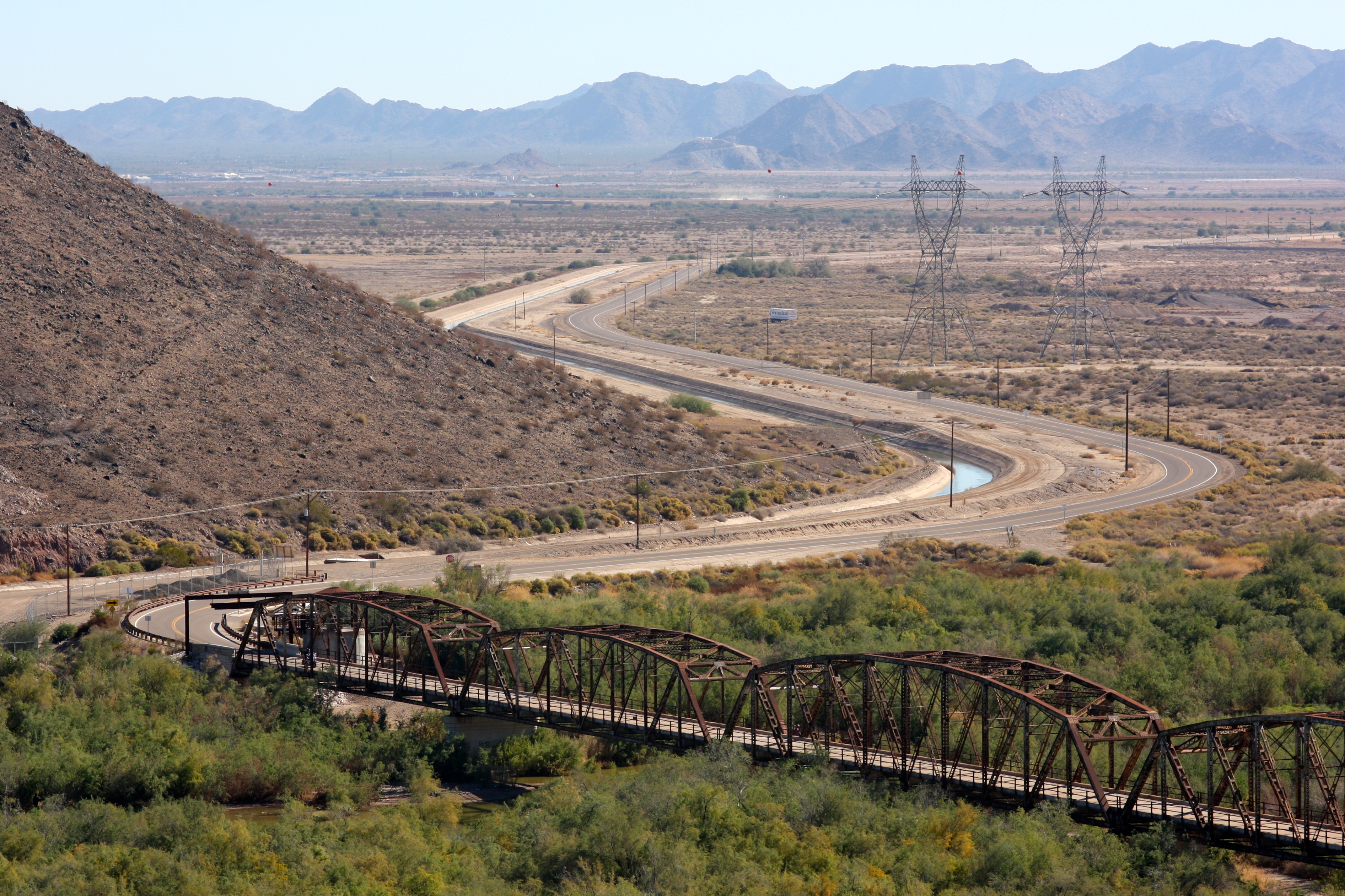
Gila River

The Old US 80 03-29-2010

Gila River

After the rain, a rainbow

Buckeye Hills Recreation Area, Maricopa County, Arizona_P7159393cc

Looking northeast toward the White Tanks

Song Sparrow (Melospiza Melodia)

Gila River Valley Landscape (Maricopa County, Arizona)
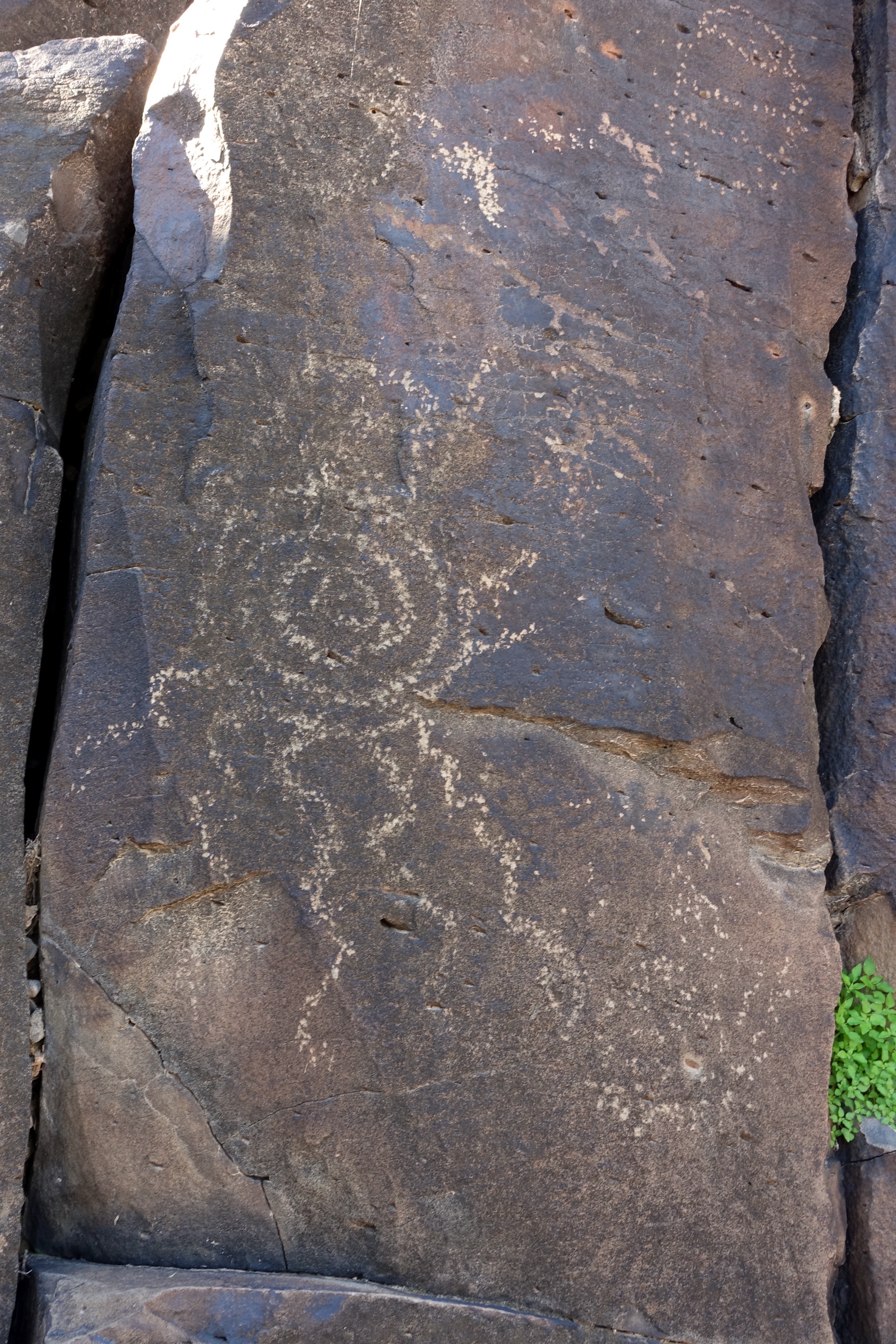
17. Petroglyphs near Old US Hwy 80 just northwest of Gillespie Dam

Buckeye Hills Recreation Area, Maricopa County, Arizona_20130715_141245
Topographic Map of Palo Verde, AZ, USA
Find elevation by address:

Places near Palo Verde, AZ, USA:
29702 W Old Hwy 80
W Old Hwy 80, Palo Verde, AZ, USA
S Miller Rd, Buckeye, AZ, USA
26700 Buckeye Hills Dr
Arlington
5339 S 330th Ave
E Monroe Ave, Buckeye, AZ, USA
Buckeye
West Victory Street
Westpark
Buckeye, AZ, USA
8203 S 347th Ave
23033 W Euclid Ave
W Whyman Ave, Buckeye, AZ, USA
Watson Estates
Tartesso
3583 N Brooklyn Dr
3583 N Brooklyn Dr
13819 W Harwell Rd
30098 W Fairmount Ave
Recent Searches:
- Elevation of Corso Fratelli Cairoli, 35, Macerata MC, Italy
- Elevation of Tallevast Rd, Sarasota, FL, USA
- Elevation of 4th St E, Sonoma, CA, USA
- Elevation of Black Hollow Rd, Pennsdale, PA, USA
- Elevation of Oakland Ave, Williamsport, PA, USA
- Elevation of Pedrógão Grande, Portugal
- Elevation of Klee Dr, Martinsburg, WV, USA
- Elevation of Via Roma, Pieranica CR, Italy
- Elevation of Tavkvetili Mountain, Georgia
- Elevation of Hartfords Bluff Cir, Mt Pleasant, SC, USA