Elevation of S th Ave, Tonopah, AZ, USA
Location: United States > Arizona > Maricopa County > Tonopah >
Longitude: -112.79805
Latitude: 33.371783
Elevation: 277m / 909feet
Barometric Pressure: 98KPa
Elevation Map:
Satellite Map:
Related Photos:

Laurisden Air Museum - Buckeye, Arizona.

LSR Solar Energy Project

Palo Verde Power Station

Le Conte's Thrasher habitat near Buckeye

Tonopah Steam

sonoran desert vegetation, Buckeye nr Phoenix, AZ, 2001_12_26 (1 of 2).jpg

Gila Trail

Arlington Valley Panorama

Water jacket (Lycium andersonii)

Gilliespie Dam
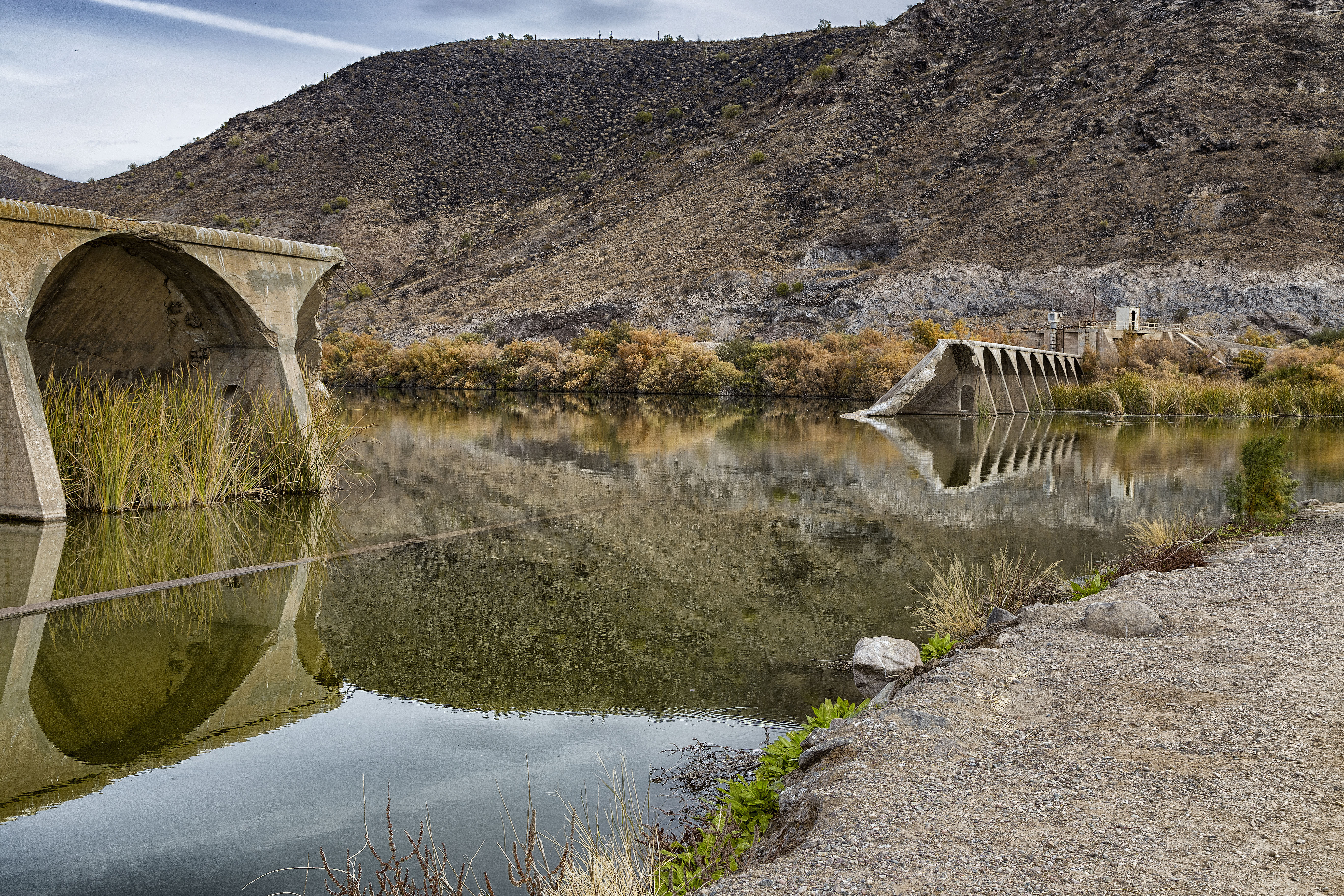
Broken dam

Pastel 1

Gillespie Dam Arizona

AZ 85

Arizona Landscape

Gila River

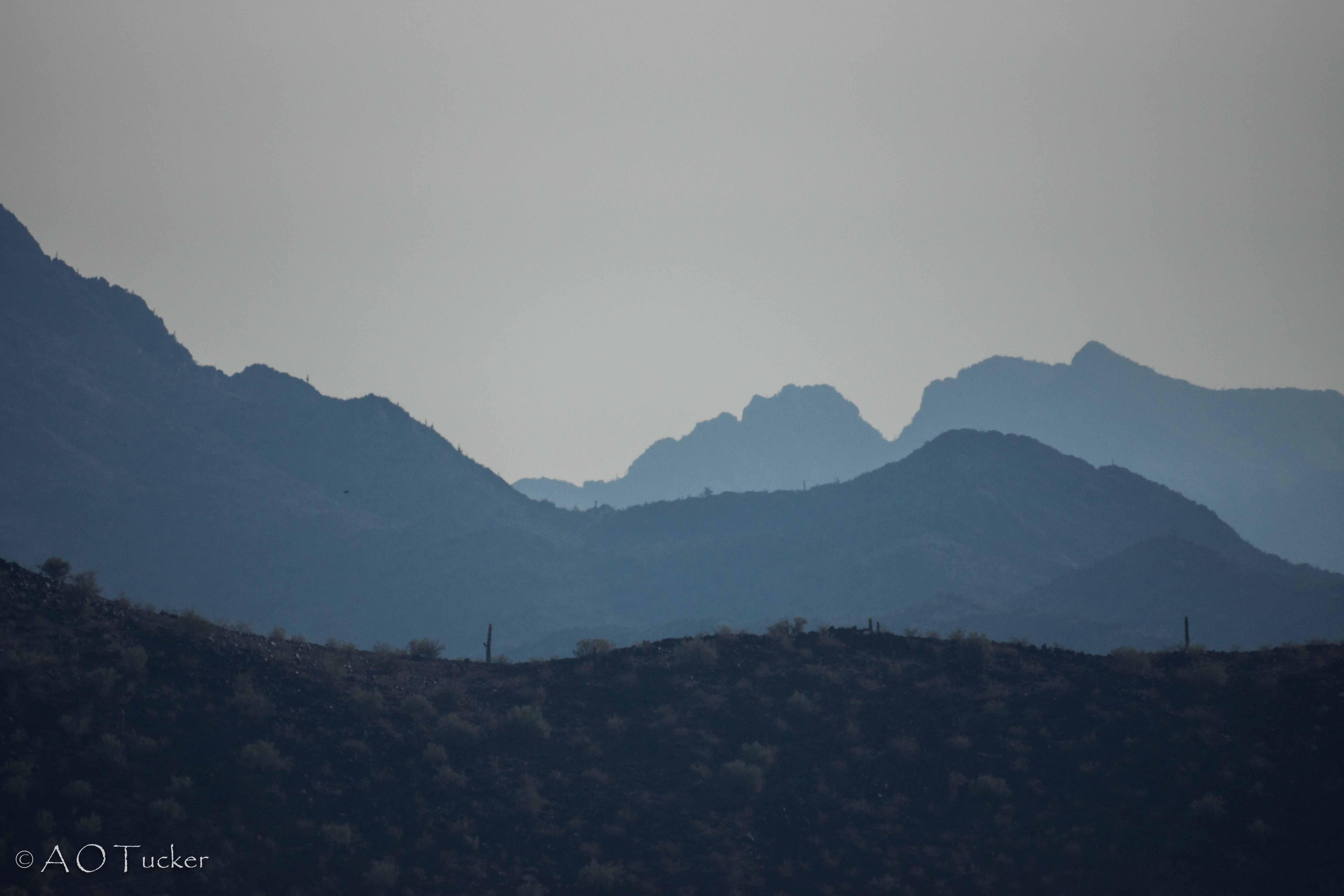
Looking northeast toward the White Tanks

Gila River Valley Landscape (Maricopa County, Arizona)

No Trespassing

Palo Verde Arizona 2-7-2013

36. Petroglyphs near Old US Hwy 80 just northwest of Gillespie Dam

Gila River Valley Dairy (Maricopa County, Arizona)

2. Petroglyphs near Old US Hwy 80 just northwest of Gillespie Dam

Arizona Pasture

17. Petroglyphs near Old US Hwy 80 just northwest of Gillespie Dam
Black Hill And Layers
Topographic Map of S th Ave, Tonopah, AZ, USA
Find elevation by address:

Places near S th Ave, Tonopah, AZ, USA:
5339 S 330th Ave
Arlington
W Old Hwy 80, Palo Verde, AZ, USA
1132 N 358th Ave
Valley View Ranchettes
North 339th Avenue
29702 W Old Hwy 80
35203 W Indian School Rd
Palo Verde
3583 N Brooklyn Dr
3583 N Brooklyn Dr
Tartesso
30098 W Fairmount Ave
Tonopah
26700 Buckeye Hills Dr
West Victory Street
Westpark
S Miller Rd, Buckeye, AZ, USA
E Monroe Ave, Buckeye, AZ, USA
Buckeye
Recent Searches:
- Elevation of Corso Fratelli Cairoli, 35, Macerata MC, Italy
- Elevation of Tallevast Rd, Sarasota, FL, USA
- Elevation of 4th St E, Sonoma, CA, USA
- Elevation of Black Hollow Rd, Pennsdale, PA, USA
- Elevation of Oakland Ave, Williamsport, PA, USA
- Elevation of Pedrógão Grande, Portugal
- Elevation of Klee Dr, Martinsburg, WV, USA
- Elevation of Via Roma, Pieranica CR, Italy
- Elevation of Tavkvetili Mountain, Georgia
- Elevation of Hartfords Bluff Cir, Mt Pleasant, SC, USA