Elevation of W Old Hwy 80, Palo Verde, AZ, USA
Location: United States > Arizona > Maricopa County > Palo Verde >
Longitude: -112.68709
Latitude: 33.349173
Elevation: 258m / 846feet
Barometric Pressure: 98KPa
Elevation Map:
Satellite Map:
Related Photos:

Gilded Flicker

Laurisden Air Museum - Buckeye, Arizona.

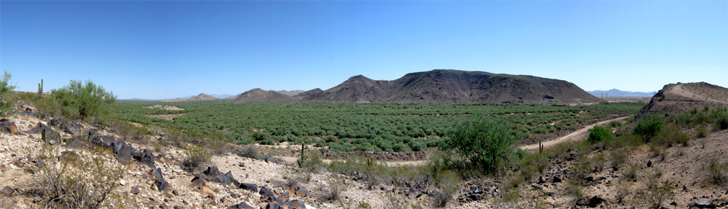
Panoramic View of Desert Dirt Road
Tonopah Steam
sonoran desert vegetation, Buckeye nr Phoenix, AZ, 2001_12_26 (1 of 2).jpg
Le Conte's Thrasher habitat near Buckeye
Gila Trail

Saguaro Cactus at Buckeye Hills Recreation Area, Maricopa County, Arizona_ P7170862

Buckeye Hills Recreation Area, Maricopa County, Arizona_P7159393cc

Buckeye Hills Recreation Area, Maricopa County, Arizona_20130715_141245
AZ 85

Arizona Landscape
Hangin' at the park

The Old US 80 03-29-2010
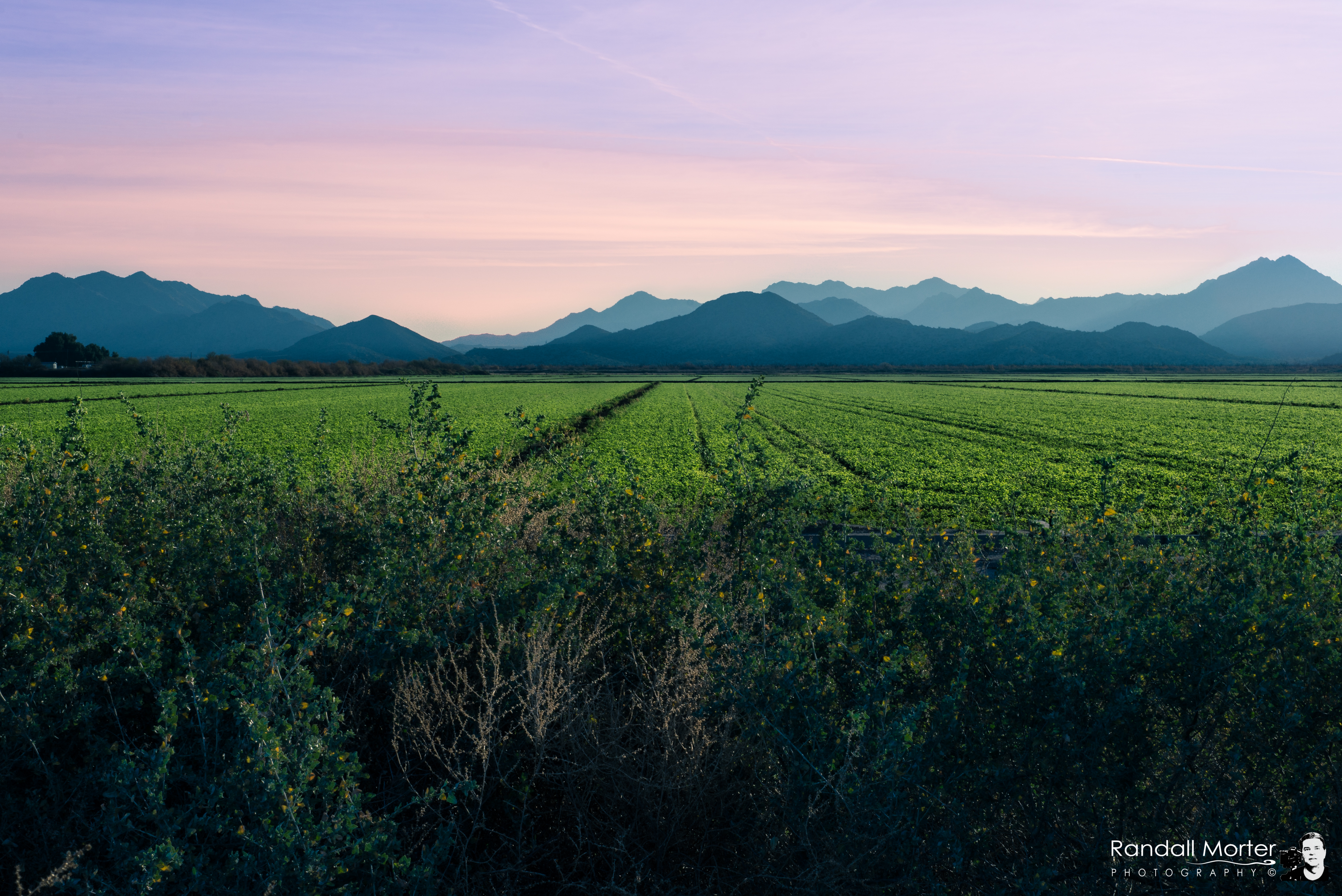
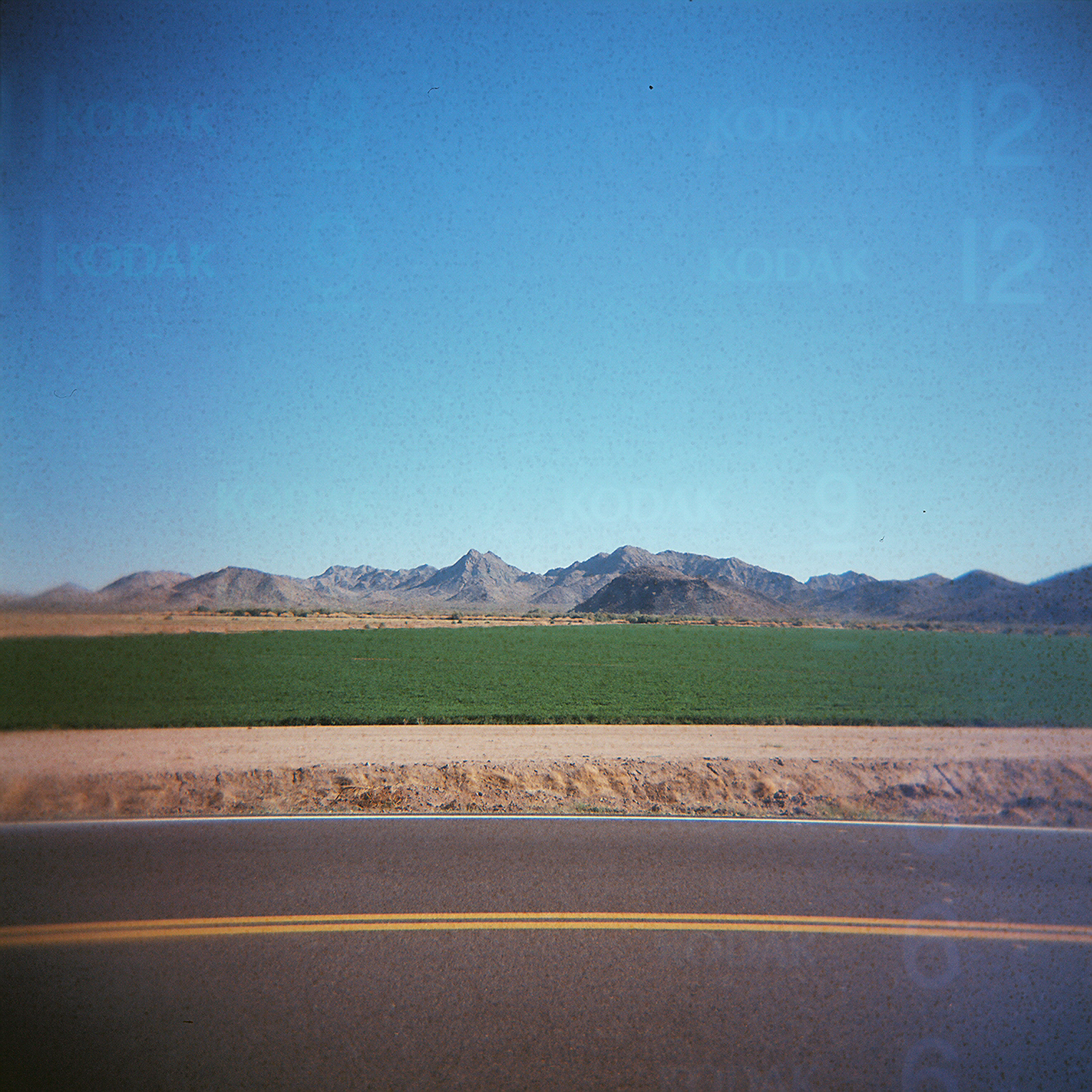
Arizona Pasture

Buckeye , Arizona Usa

Truck_082612_LR-109.jpg

2. Petroglyphs near Old US Hwy 80 just northwest of Gillespie Dam
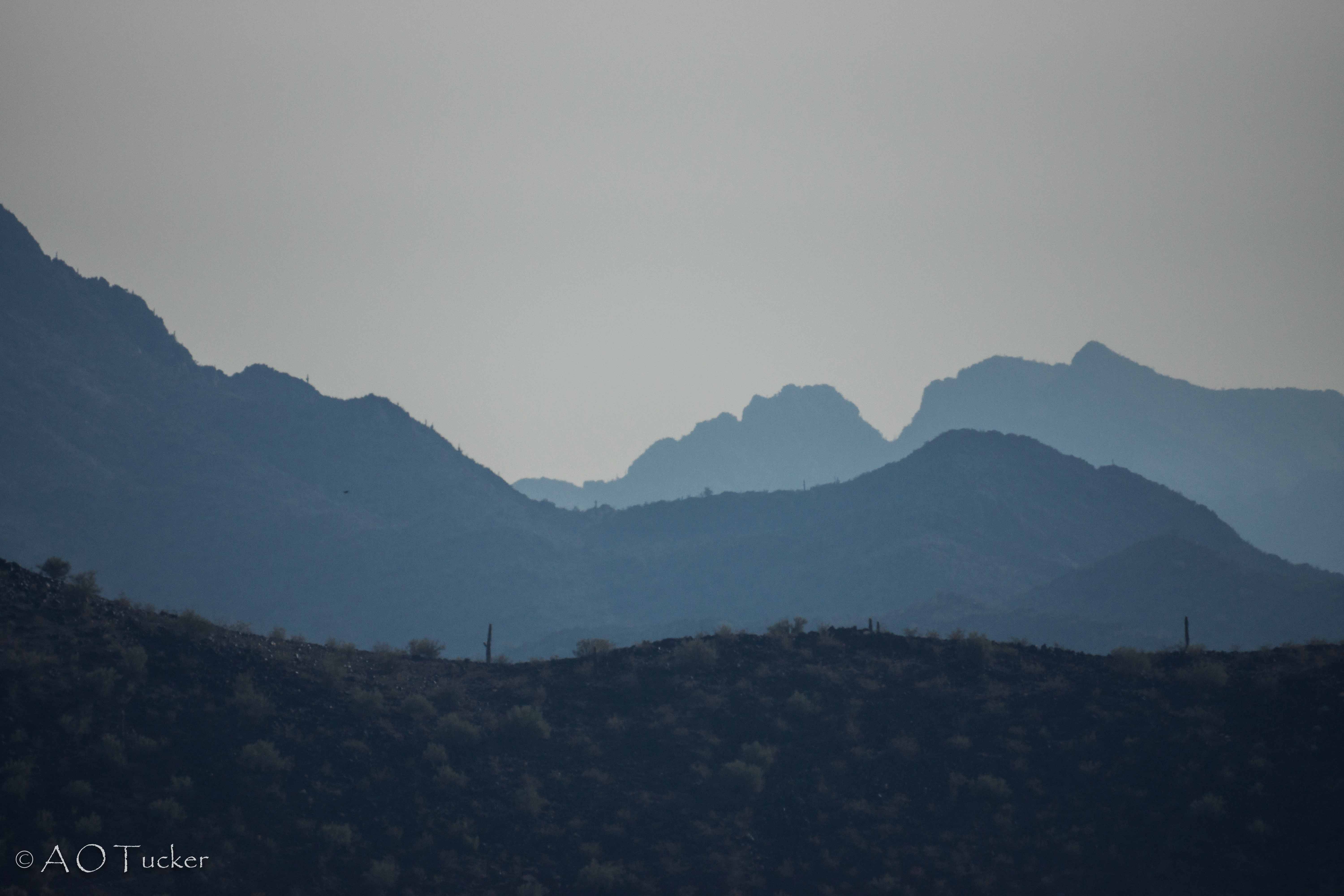
Black Hill And Layers
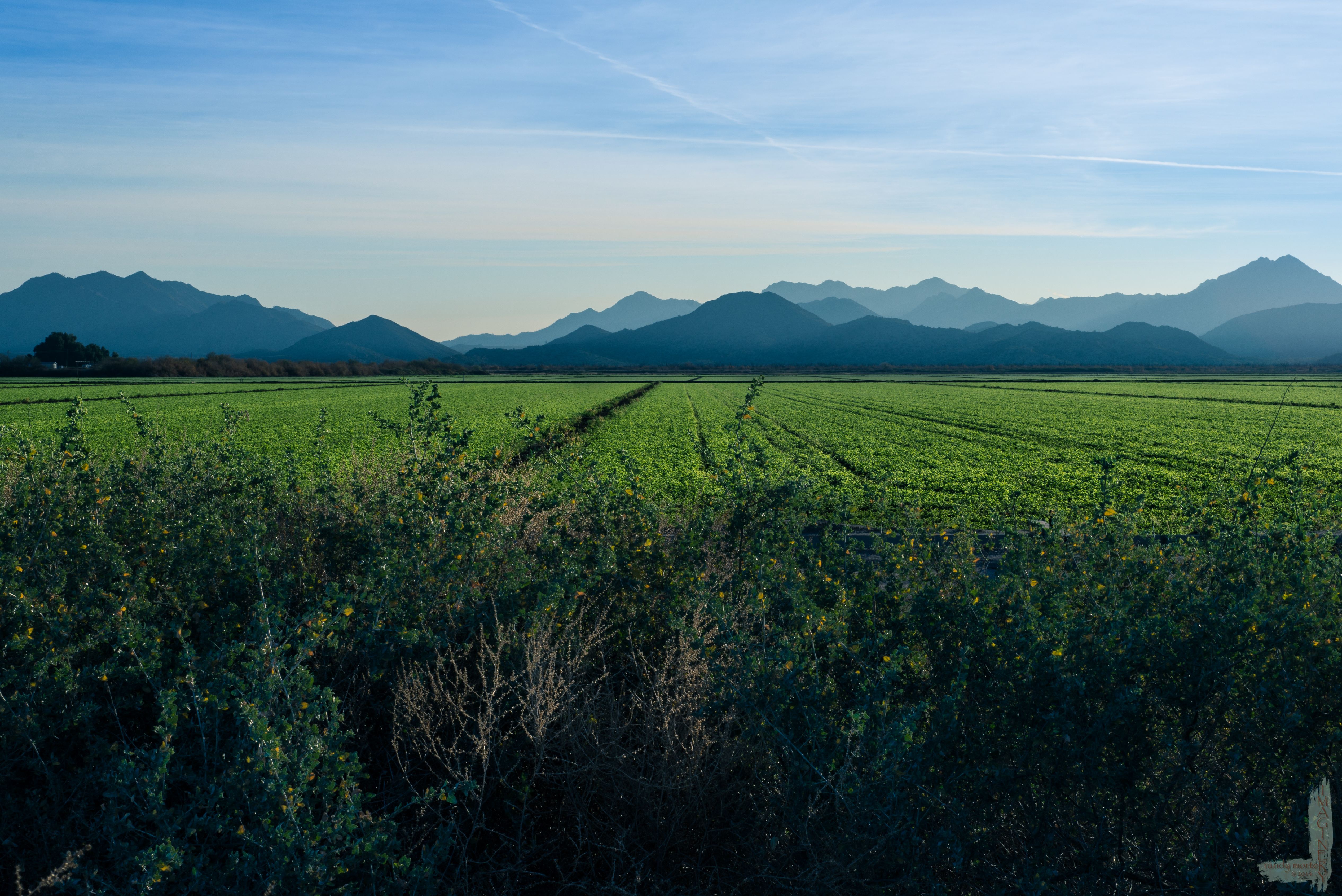
Arizona Pasture
Gila River

The Old US 80 03-29-2010

Gila River

After the rain, a rainbow

Looking northeast toward the White Tanks

Song Sparrow (Melospiza Melodia)
Topographic Map of W Old Hwy 80, Palo Verde, AZ, USA
Find elevation by address:

Places near W Old Hwy 80, Palo Verde, AZ, USA:
Palo Verde
W Old Hwy 80, Palo Verde, AZ, USA
Arlington
5339 S 330th Ave
26700 Buckeye Hills Dr
S Miller Rd, Buckeye, AZ, USA
West Victory Street
E Monroe Ave, Buckeye, AZ, USA
Buckeye
Westpark
8203 S 347th Ave
Buckeye, AZ, USA
Tartesso
3583 N Brooklyn Dr
3583 N Brooklyn Dr
23033 W Euclid Ave
30098 W Fairmount Ave
W Whyman Ave, Buckeye, AZ, USA
Watson Estates
13819 W Harwell Rd
Recent Searches:
- Elevation of Corso Fratelli Cairoli, 35, Macerata MC, Italy
- Elevation of Tallevast Rd, Sarasota, FL, USA
- Elevation of 4th St E, Sonoma, CA, USA
- Elevation of Black Hollow Rd, Pennsdale, PA, USA
- Elevation of Oakland Ave, Williamsport, PA, USA
- Elevation of Pedrógão Grande, Portugal
- Elevation of Klee Dr, Martinsburg, WV, USA
- Elevation of Via Roma, Pieranica CR, Italy
- Elevation of Tavkvetili Mountain, Georgia
- Elevation of Hartfords Bluff Cir, Mt Pleasant, SC, USA