Elevation of Palomas Rd, Dateland, AZ, USA
Location: United States > Arizona >
Longitude: -113.52826
Latitude: 32.941906
Elevation: 136m / 446feet
Barometric Pressure: 100KPa
Elevation Map:
Satellite Map:
Related Photos:
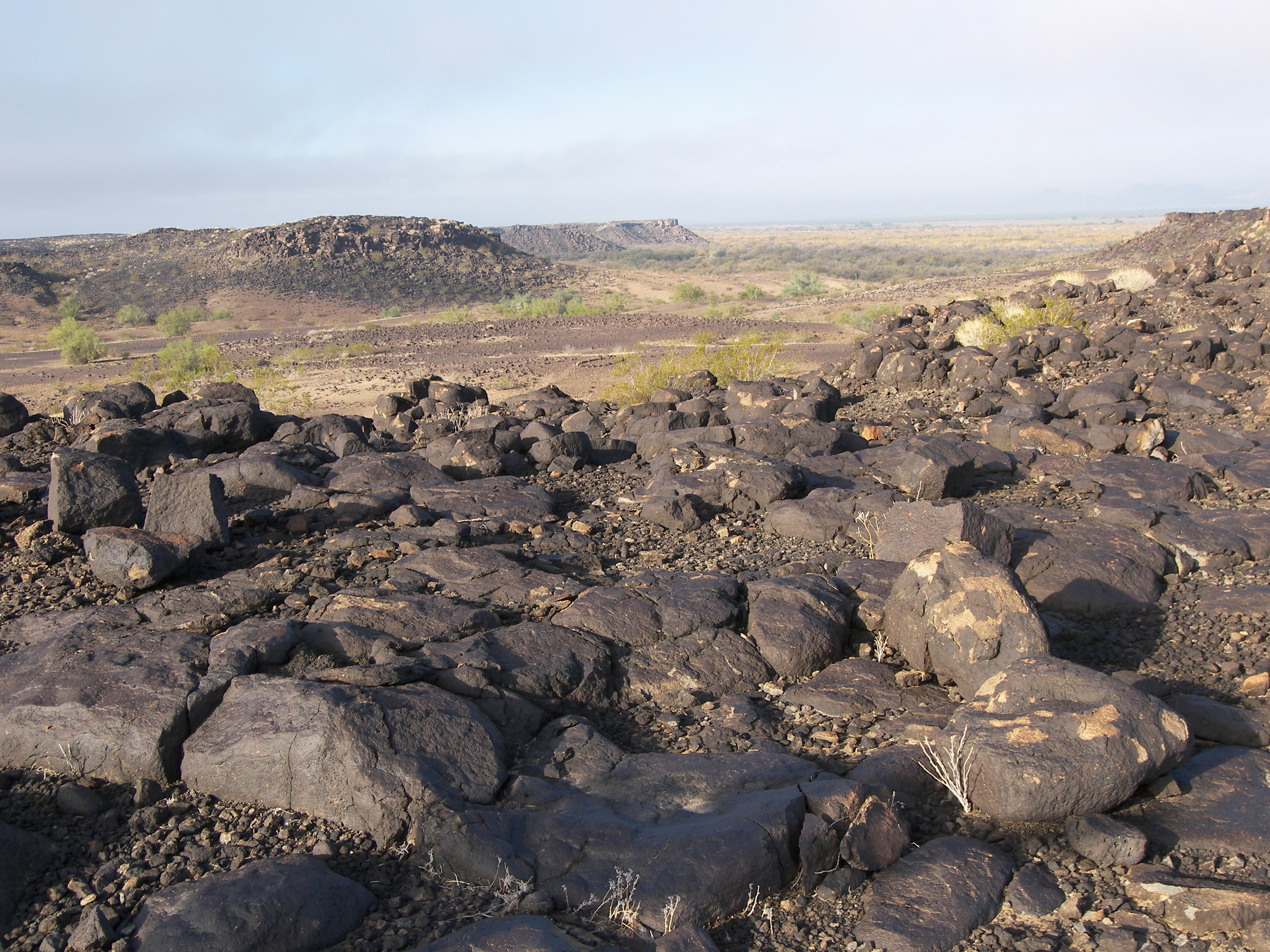
Mesa view
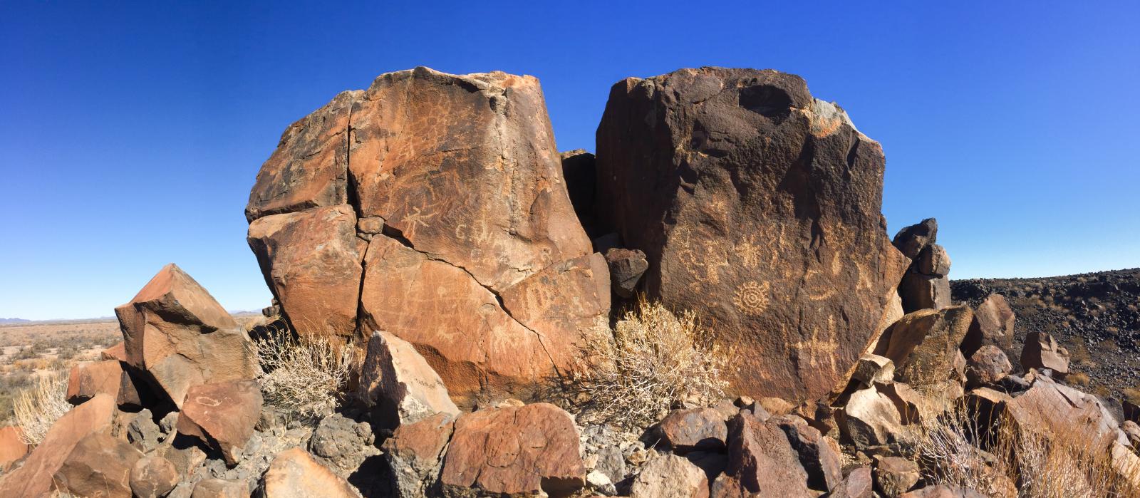
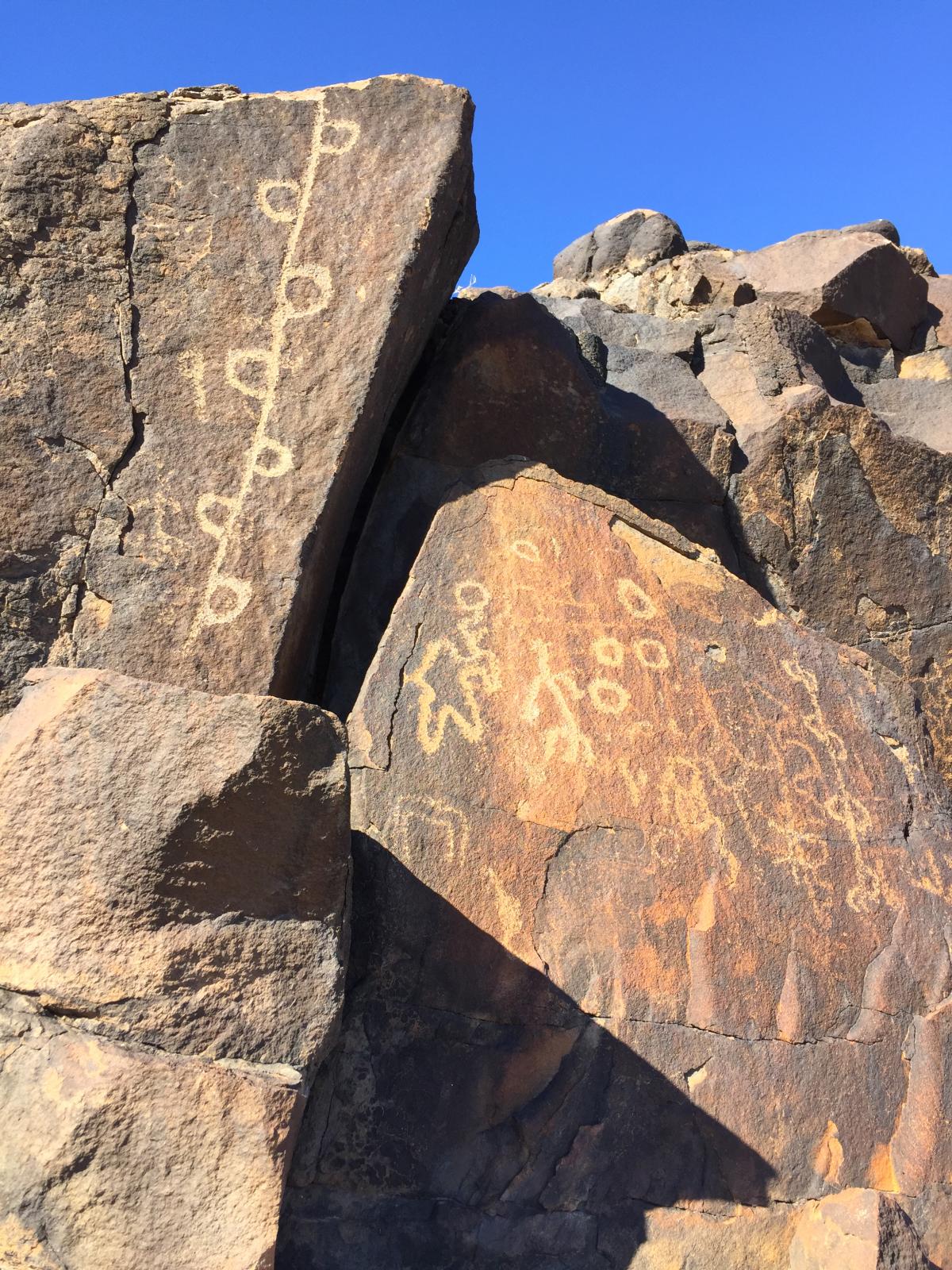
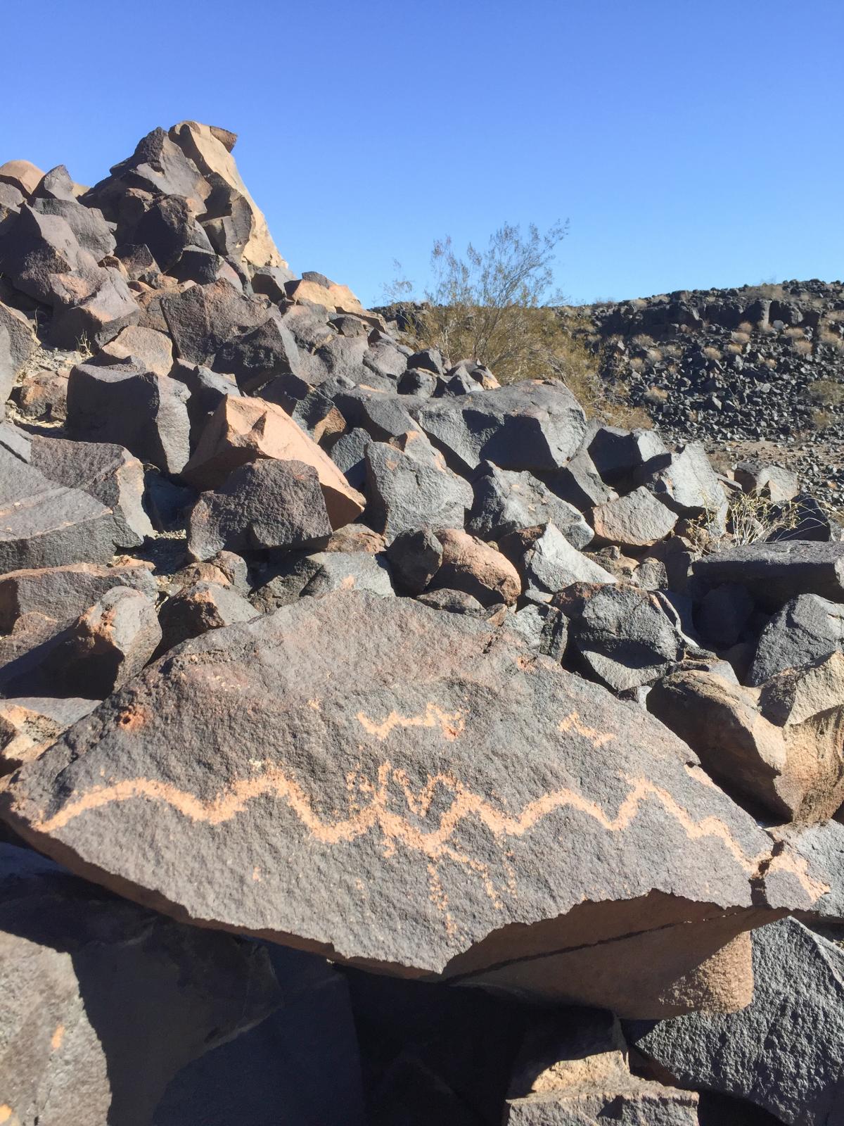
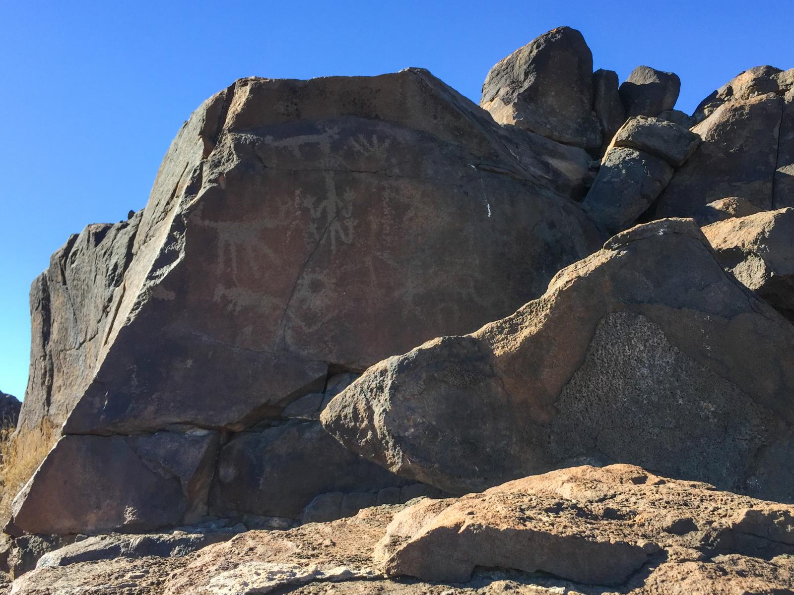
Sears Point petroglyphs

Sears Point petroglyphs
Sears Point petroglyphs

Sears Point petroglyphs
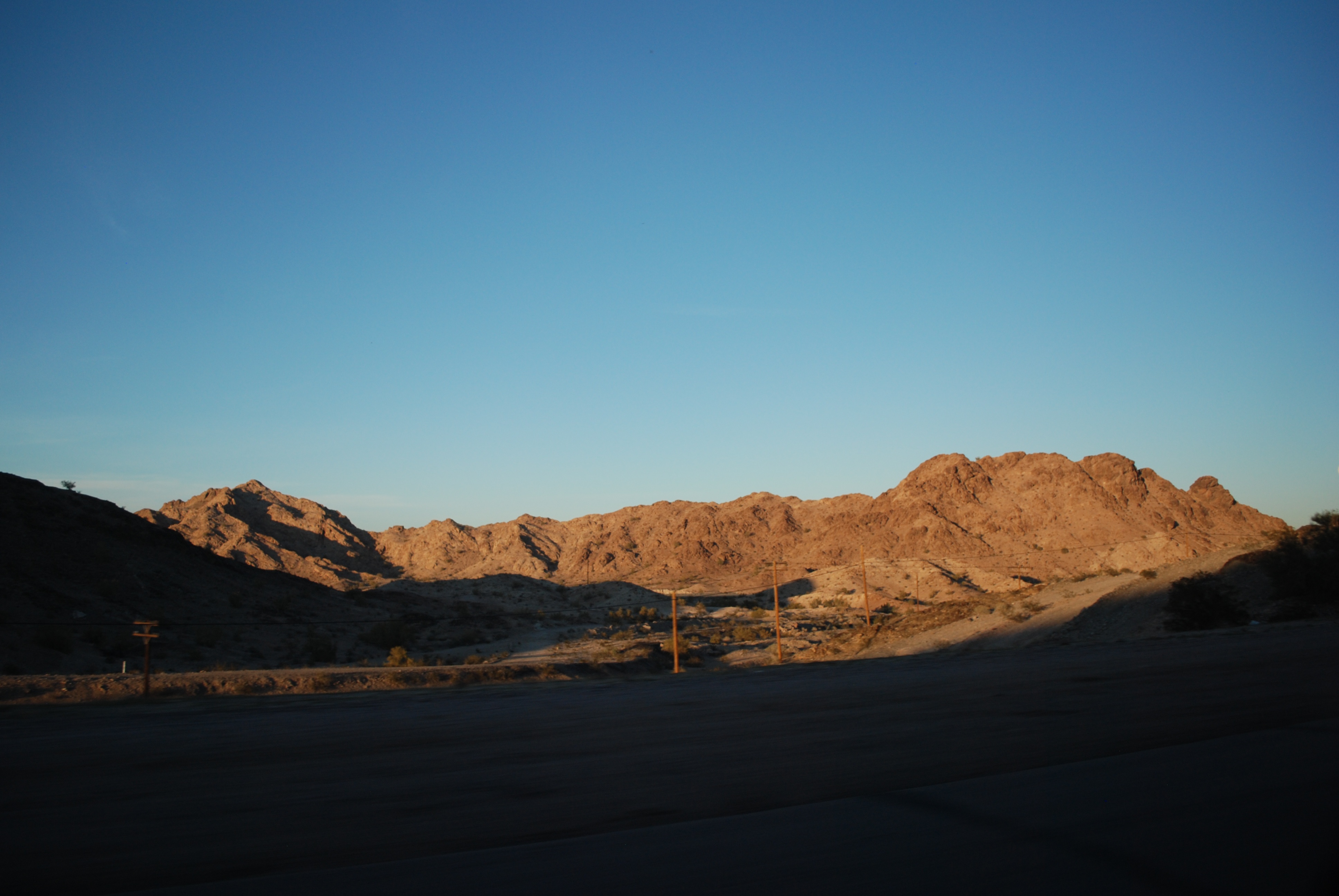
The open road, outside Yuma, Arizona.

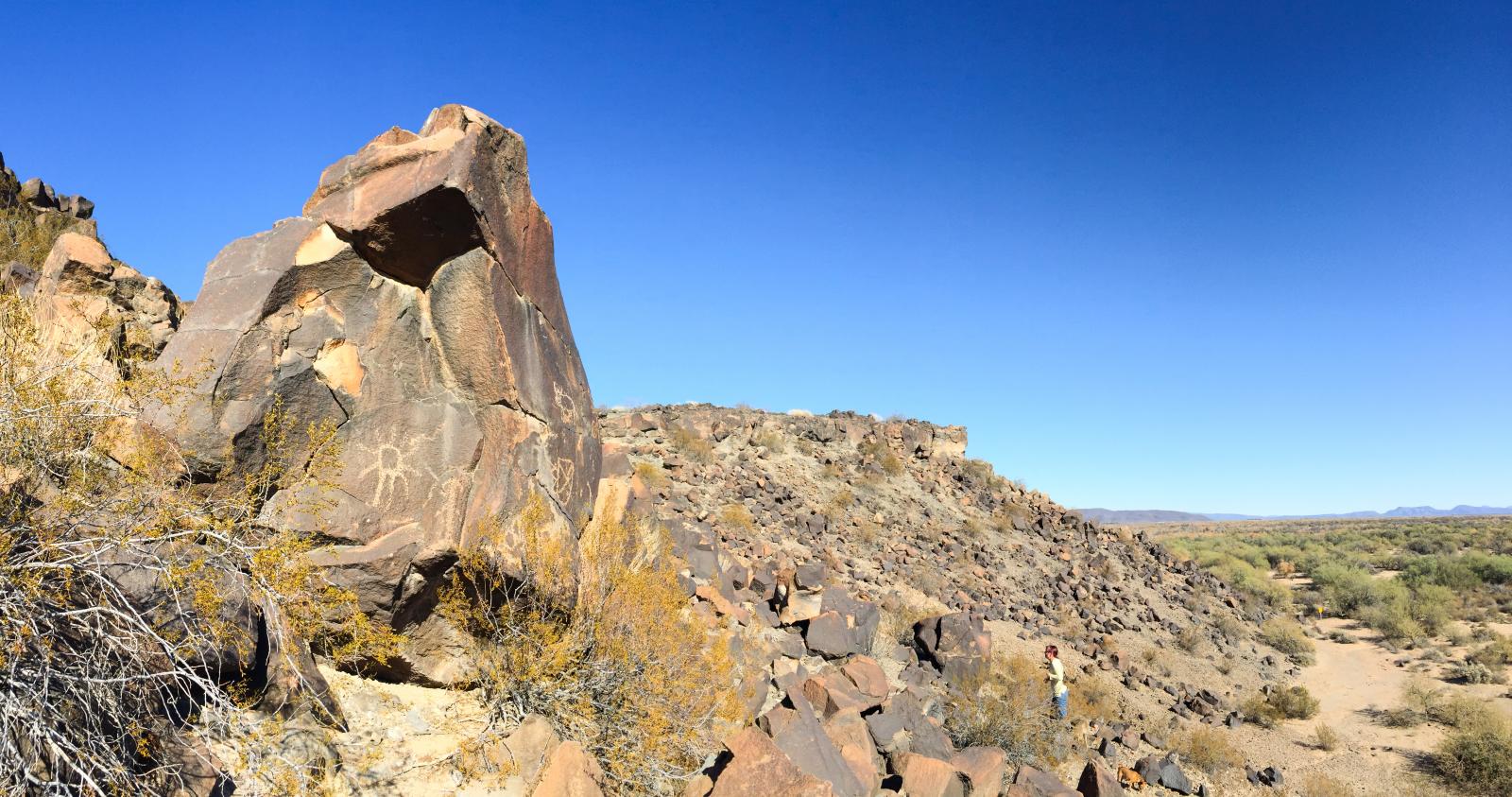
Sears Point Revisited
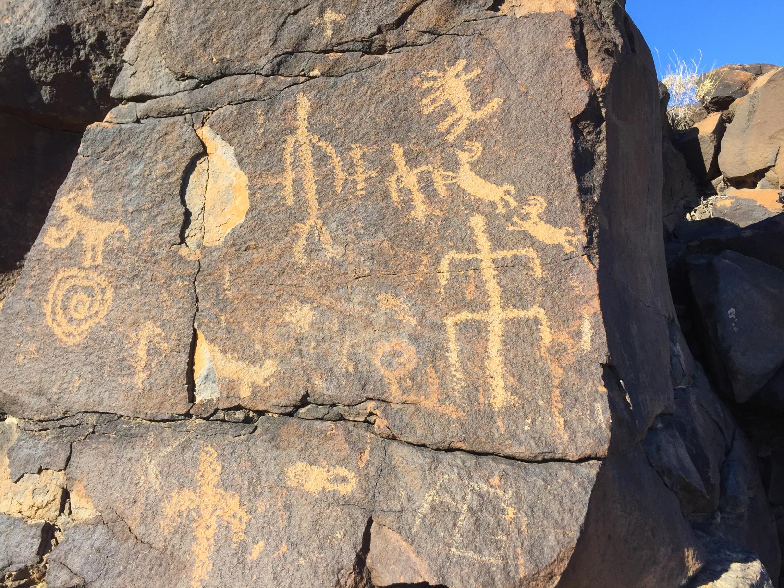
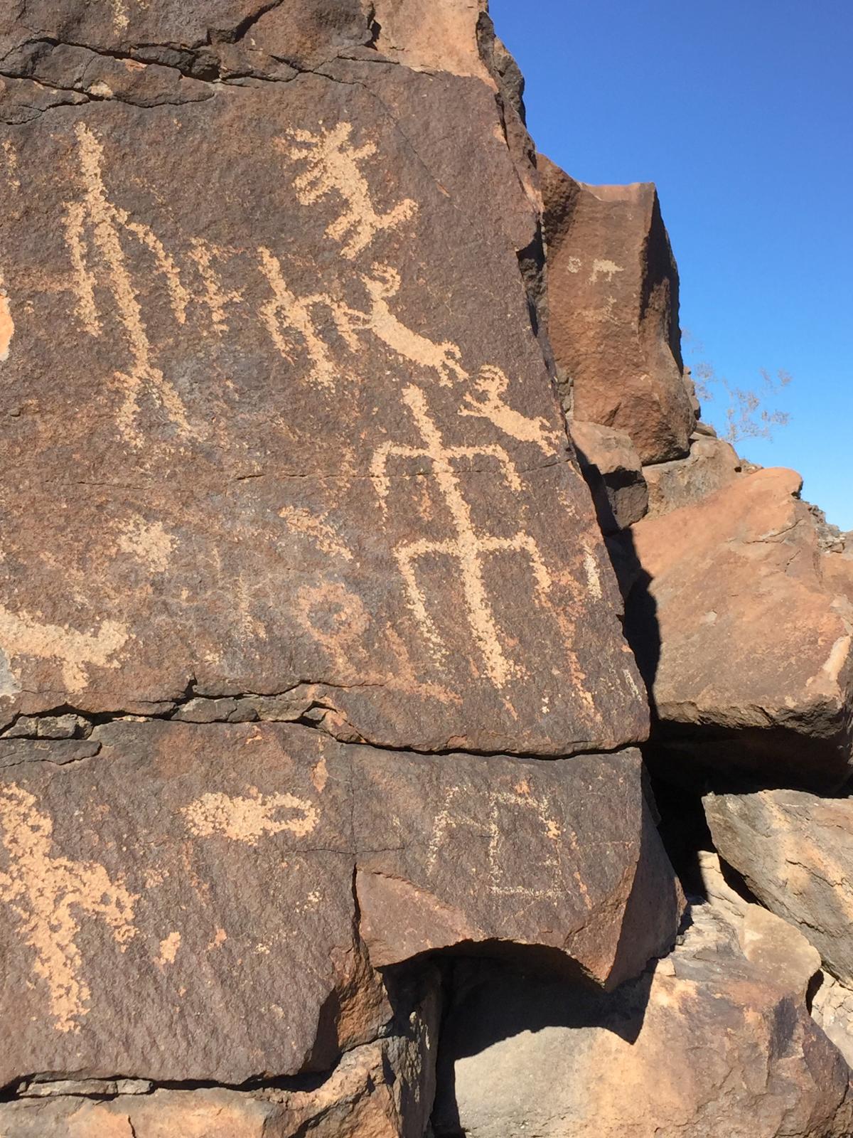
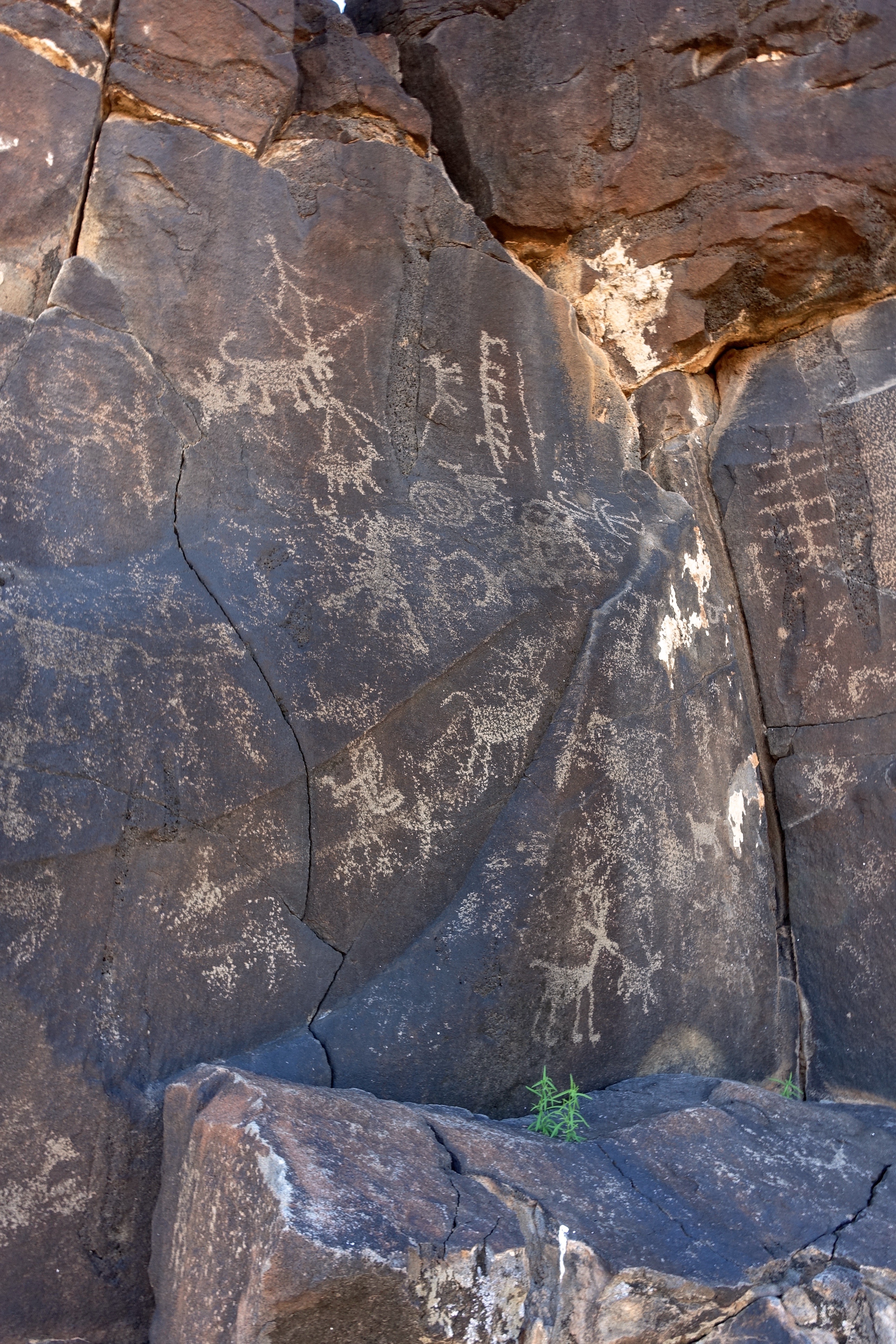
Sears Point petroglyphs
Sears Point petroglyphs

25. Chuckwalla keeping guard at Sears Point Petroglyph Site
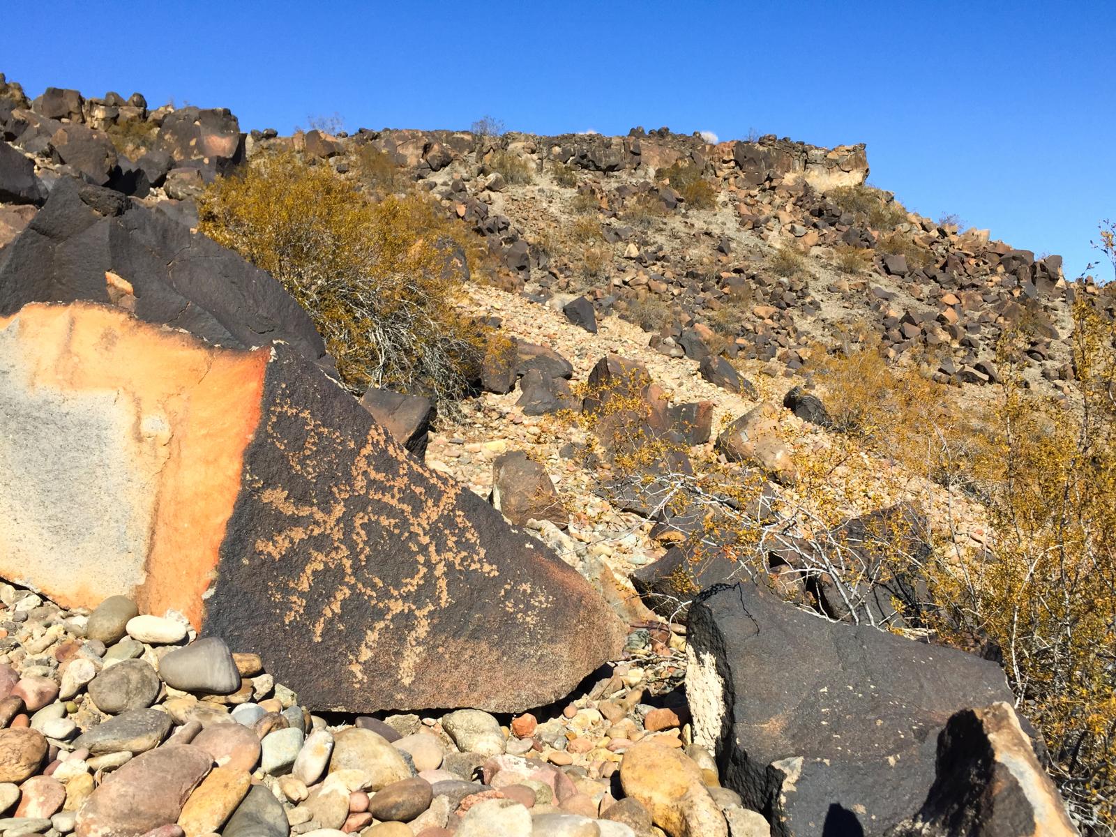
Sears Point petroglyphs

44. Petroglyphs at Sears Point
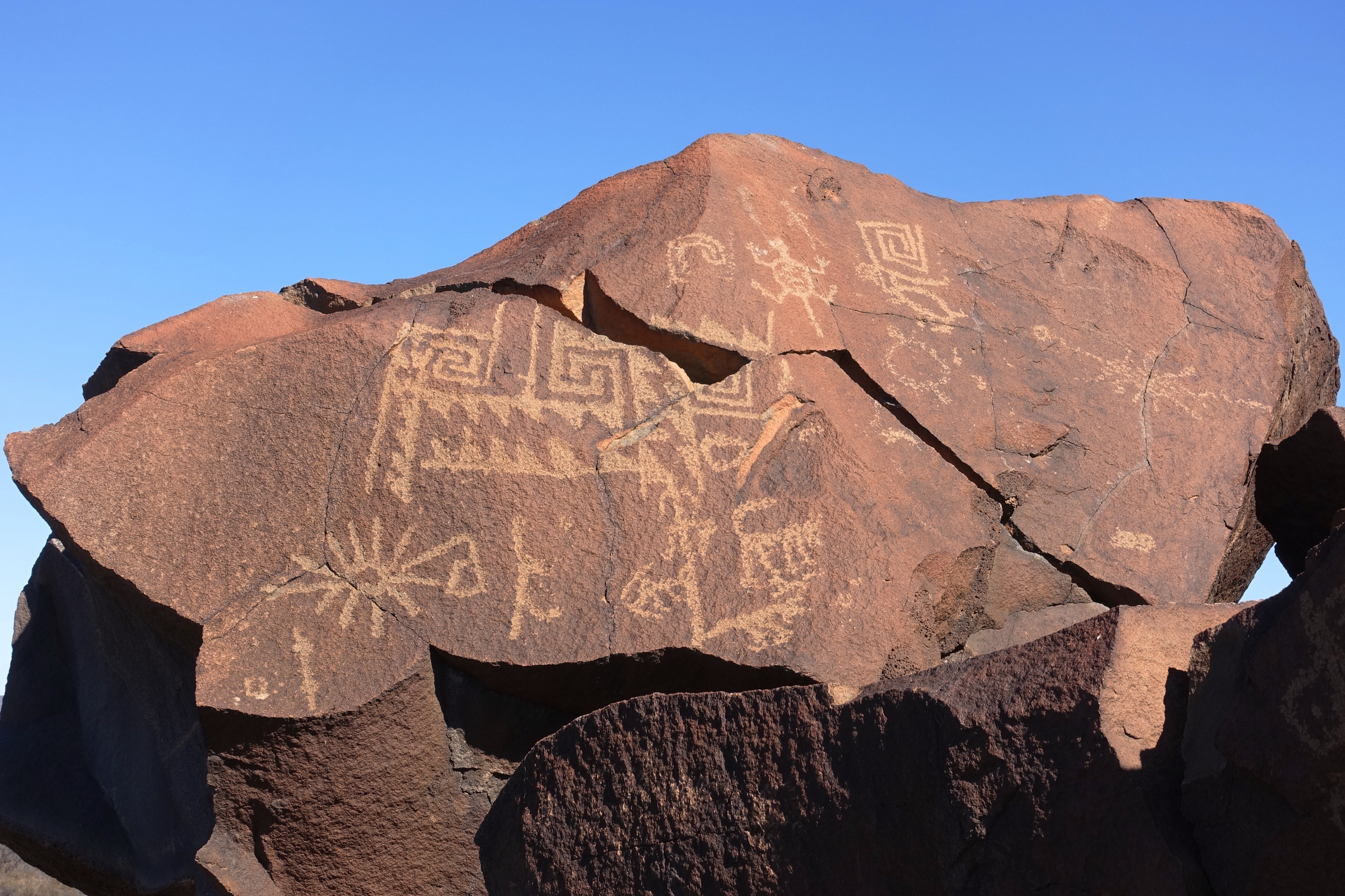
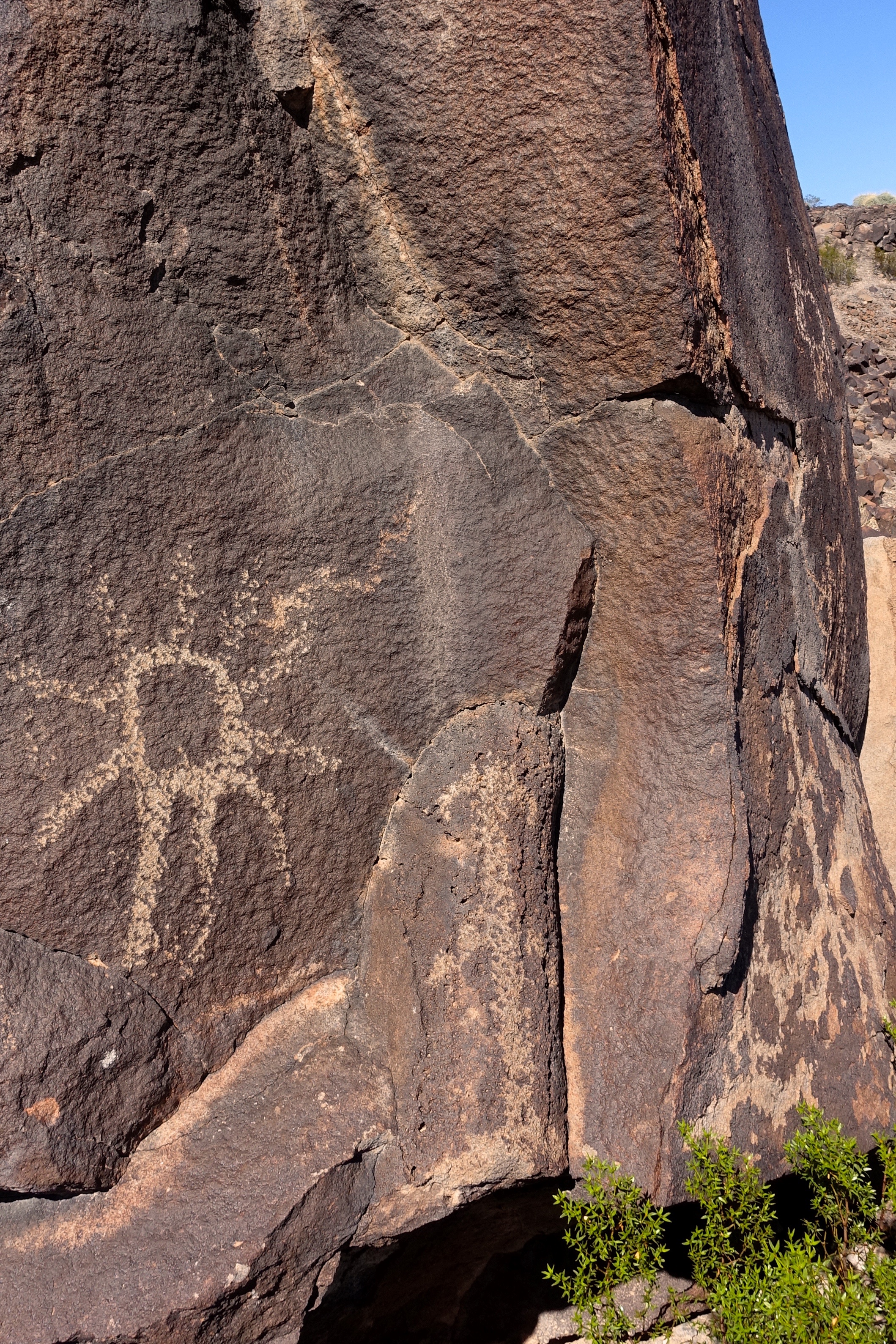
Sears Point petroglyphs
Sears Point petroglyphs
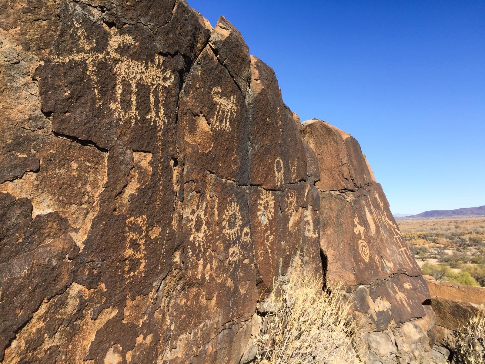
Sears Point petroglyphs
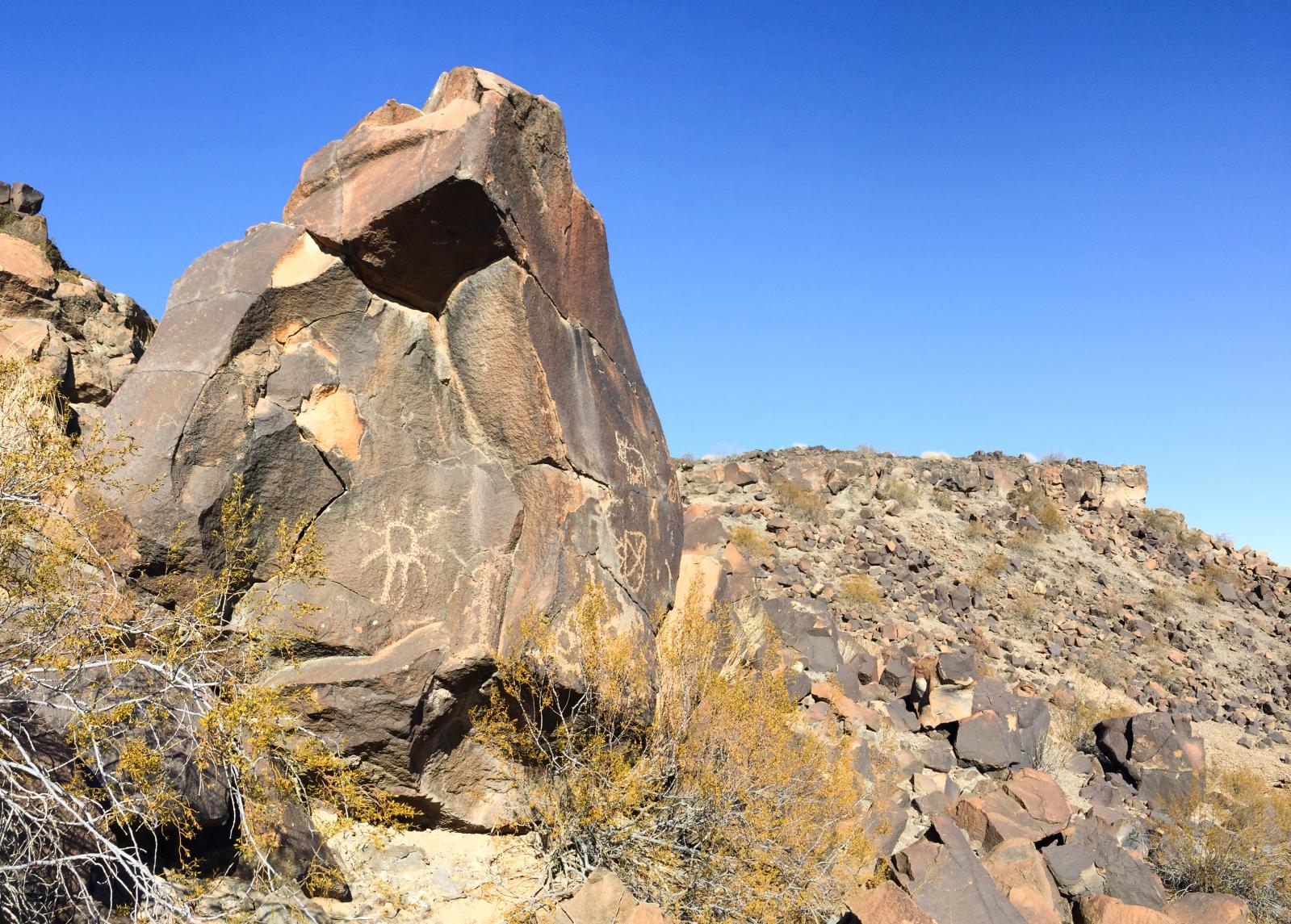
65. Petroglyphs at Sears Point
24. Petroglyphs at Sears Point
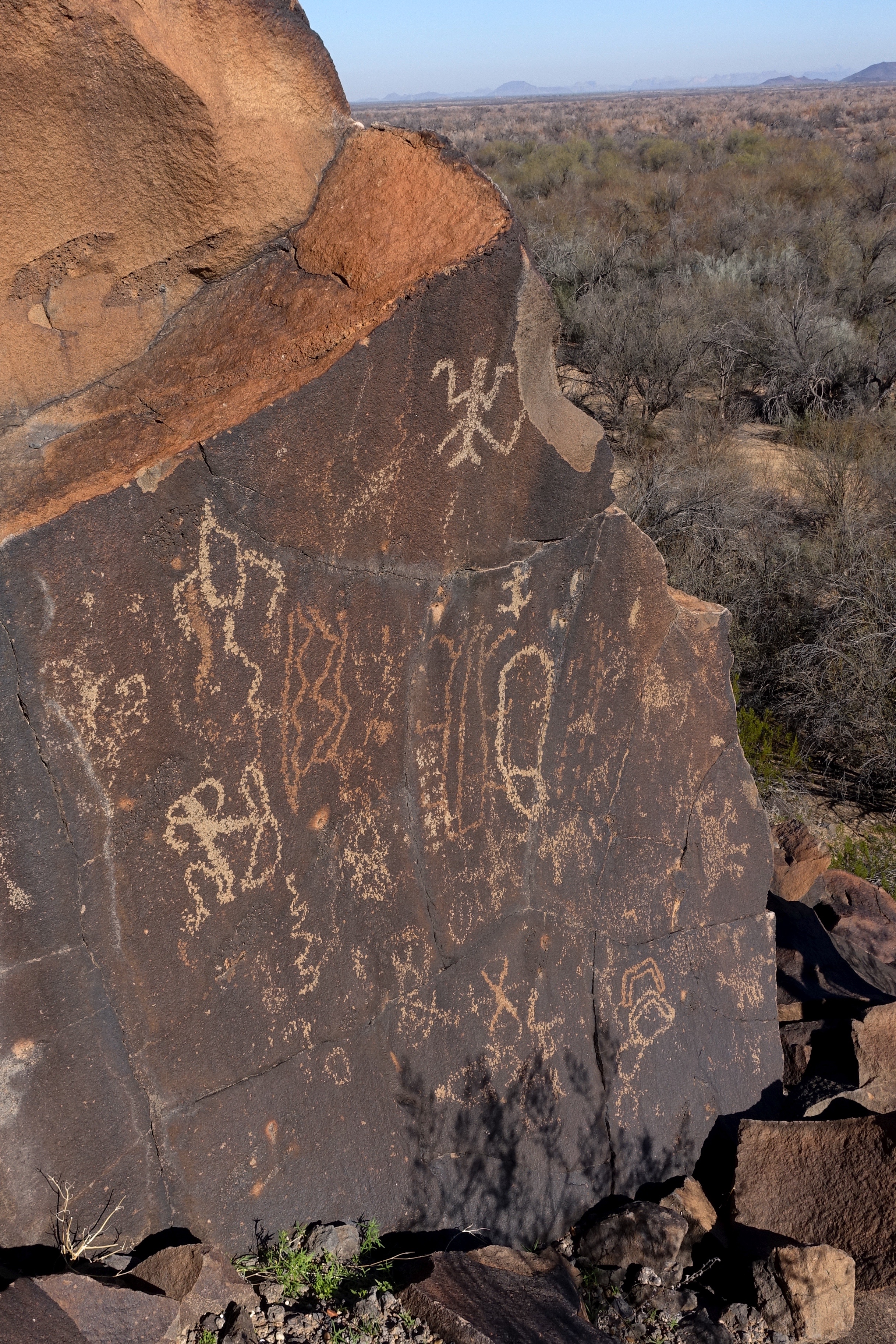
Sears Point petroglyphs
14. Petroglyphs at Sears Point
59. Petroglyphs at Sears Point
Sears Point petroglyphs
Topographic Map of Palomas Rd, Dateland, AZ, USA
Find elevation by address:

Places near Palomas Rd, Dateland, AZ, USA:
Dateland
S Old Hwy 80, Gila Bend, AZ, USA
Kofa National Wildlife Refuge
Painted Rock Petroglyph Site And Campground
Saddle Mountain Blm Dispersed Camping
Vicksburg Rd, Salome, AZ, USA
US-60, Salome, AZ, USA
Tonopah
40424 S Dakota Pl
Gila Bend
US-60, Salome, AZ, USA
Vicksburg Rd, Salome, AZ, USA
US-60, Salome, AZ, USA
8203 S 347th Ave
Arlington
Sonoran Desert
S Old US 80, Buckeye, AZ, USA
1132 N 358th Ave
Valley View Ranchettes
Ajo
Recent Searches:
- Elevation of Corso Fratelli Cairoli, 35, Macerata MC, Italy
- Elevation of Tallevast Rd, Sarasota, FL, USA
- Elevation of 4th St E, Sonoma, CA, USA
- Elevation of Black Hollow Rd, Pennsdale, PA, USA
- Elevation of Oakland Ave, Williamsport, PA, USA
- Elevation of Pedrógão Grande, Portugal
- Elevation of Klee Dr, Martinsburg, WV, USA
- Elevation of Via Roma, Pieranica CR, Italy
- Elevation of Tavkvetili Mountain, Georgia
- Elevation of Hartfords Bluff Cir, Mt Pleasant, SC, USA