Elevation of S Co Rd, Joiner, AR, USA
Location: United States > Arkansas > Mississippi County > Golden Lake Township >
Longitude: -90.023734
Latitude: 35.46501
Elevation: 73m / 240feet
Barometric Pressure: 100KPa
Elevation Map:
Satellite Map:
Related Photos:
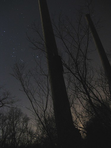
smoke stacks
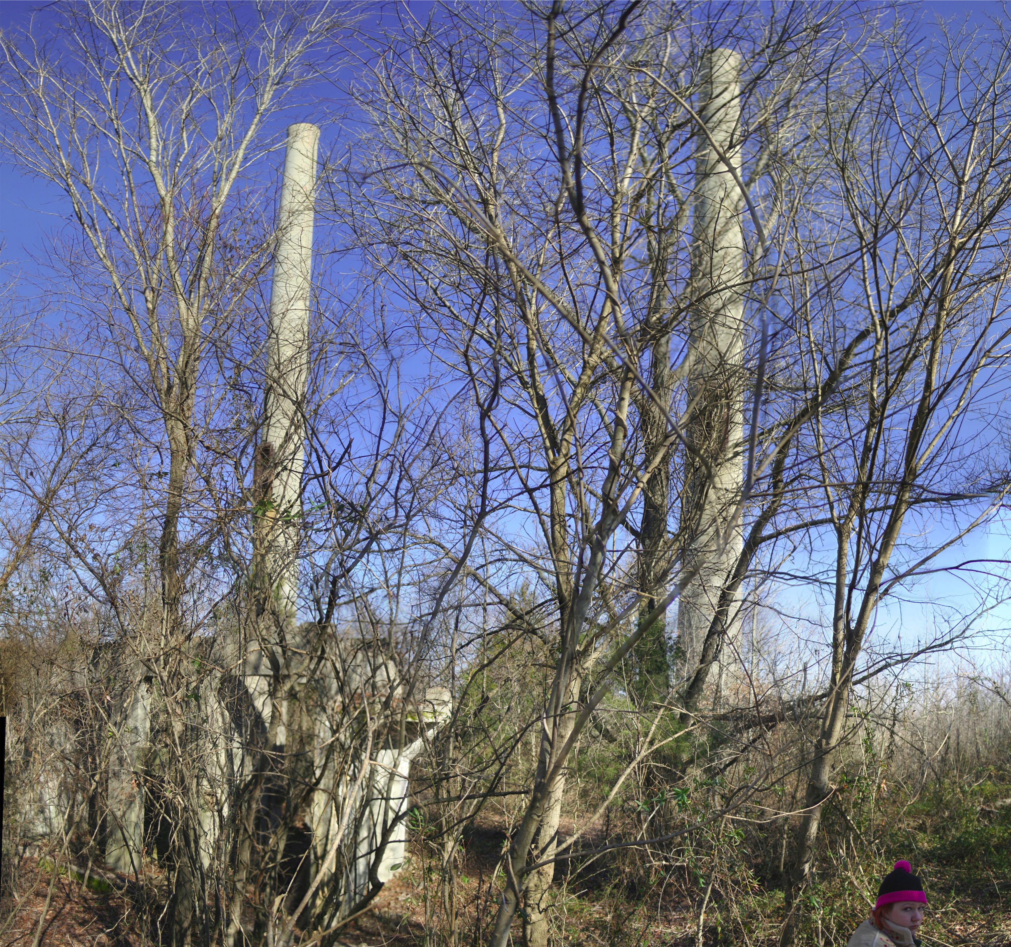
Stacks (closer)

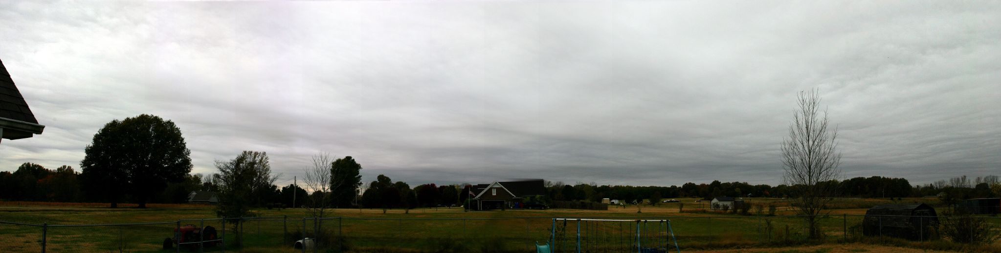
Sunset Panorama
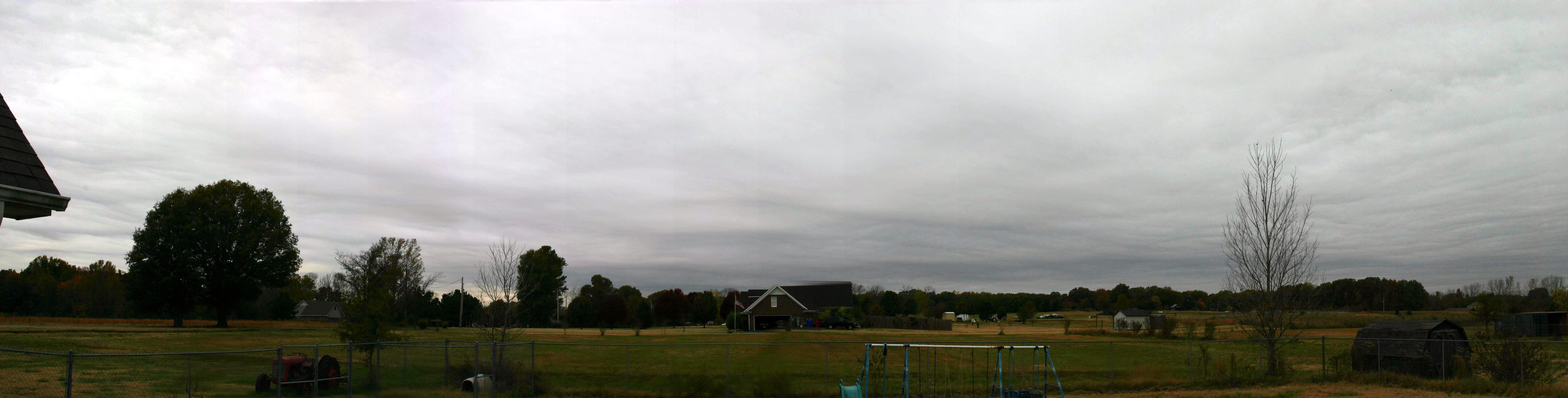
Photovista Panorama LRG

tree at sunset

nice cloud shot at sunset
Photovista Panorama MED

Photovista_Panorama LRG

sunset 20050611 clouds

Storm Panorama
Topographic Map of S Co Rd, Joiner, AR, USA
Find elevation by address:

Places near S Co Rd, Joiner, AR, USA:
Golden Lake Township
US-61, Wilson, AR, USA
Mcgavock Township
Co Rd, Frenchmans Bayou, AR, USA
Elm St, Dyess, AR, USA
Bassett
Joiner
Tinsley St, Joiner, AR, USA
Bluff Rd, Millington, TN, USA
W Co Rd, Joiner, AR, USA
U.S Hwy 61, Osceola, AR, USA
Carson Township
Scott Township
Shelby Forest Civic Club
Benjestown Rd, Memphis, TN, USA
S Co Rd, Joiner, AR, USA
5119 Belfast Dr
5 AR-, Keiser, AR, USA
Whitton Township
AR-, Tyronza, AR, USA
Recent Searches:
- Elevation of Corso Fratelli Cairoli, 35, Macerata MC, Italy
- Elevation of Tallevast Rd, Sarasota, FL, USA
- Elevation of 4th St E, Sonoma, CA, USA
- Elevation of Black Hollow Rd, Pennsdale, PA, USA
- Elevation of Oakland Ave, Williamsport, PA, USA
- Elevation of Pedrógão Grande, Portugal
- Elevation of Klee Dr, Martinsburg, WV, USA
- Elevation of Via Roma, Pieranica CR, Italy
- Elevation of Tavkvetili Mountain, Georgia
- Elevation of Hartfords Bluff Cir, Mt Pleasant, SC, USA