Elevation of Joiner, AR, USA
Location: United States > Arkansas > Mississippi County > Mcgavock Township >
Longitude: -90.147037
Latitude: 35.5078601
Elevation: 70m / 230feet
Barometric Pressure: 100KPa
Elevation Map:
Satellite Map:
Related Photos:
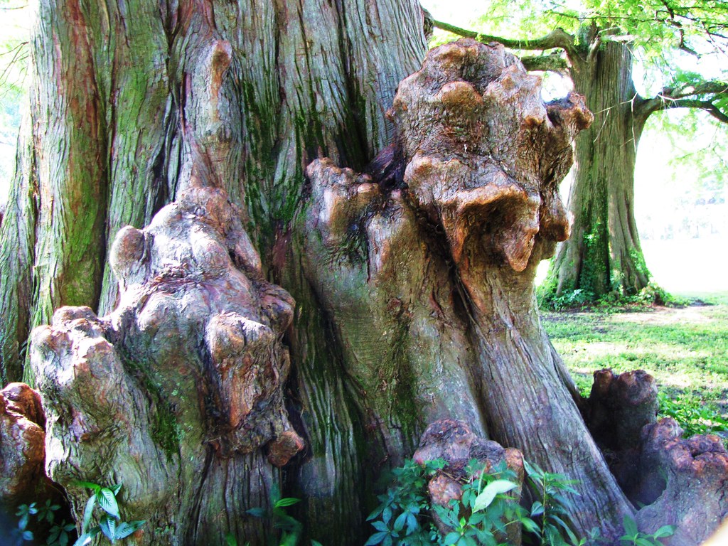
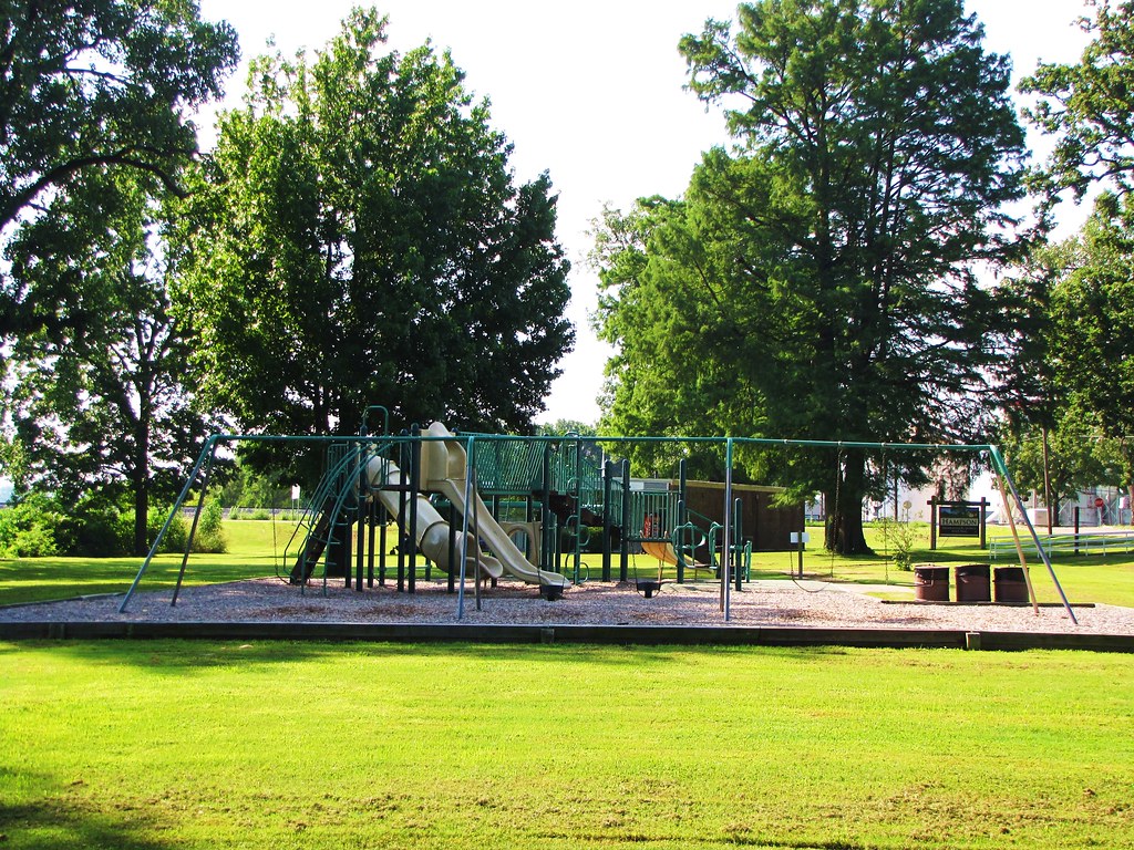
IMG_2731
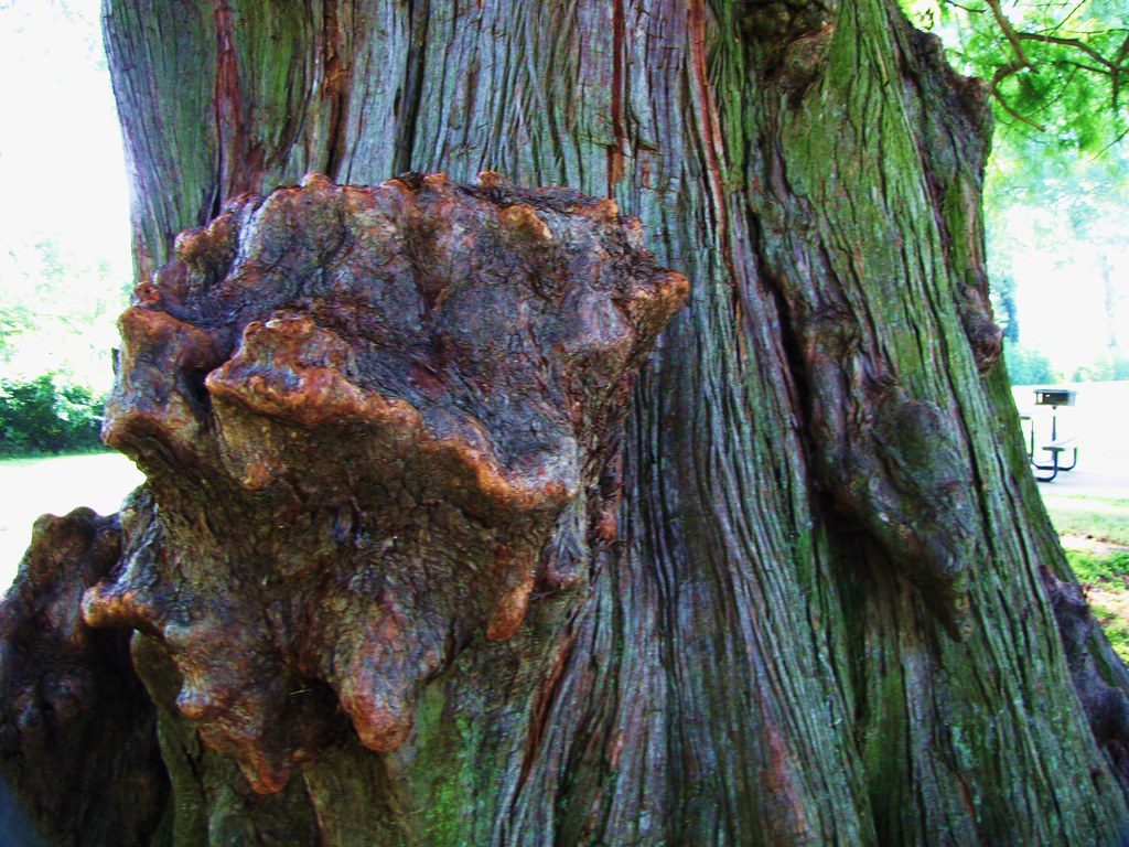
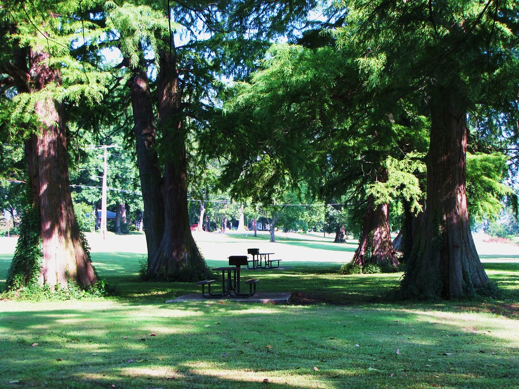
IMG_2733

IMG_2700

IMG_2729

IMG_2736
IMG_2708

IMG_2704

IMG_2684

IMG_2697
IMG_2727

IMG_2667

IMG_2698

IMG_2683

IMG_2702

IMG_2699

IMG_2703
IMG_2738

IMG_2701

IMG_2678

IMG_2670
IMG_2730

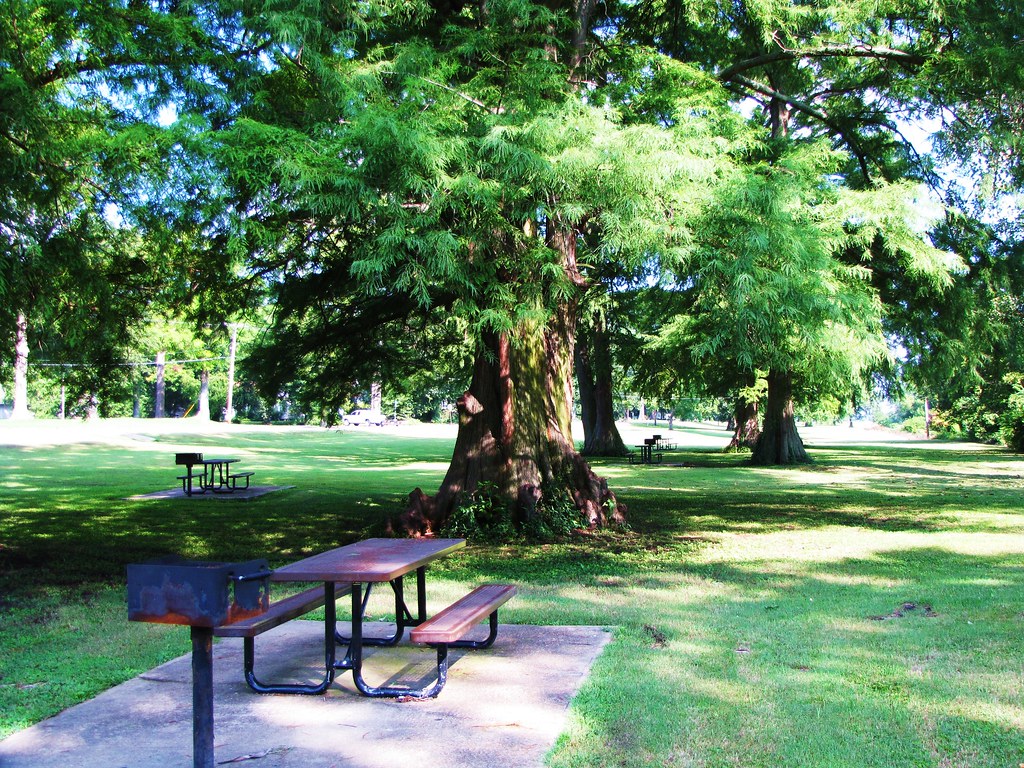
Sunset on the delta....
Topographic Map of Joiner, AR, USA
Find elevation by address:

Places in Joiner, AR, USA:
Places near Joiner, AR, USA:
Tinsley St, Joiner, AR, USA
Elm St, Dyess, AR, USA
Bassett
Scott Township
W Co Rd, Joiner, AR, USA
US-61, Wilson, AR, USA
S Co Rd, Joiner, AR, USA
Golden Lake Township
AR-, Tyronza, AR, USA
2nd St, Dyess, AR, USA
Dyess
Dyess Township
5 AR-, Keiser, AR, USA
AR-77, Lepanto, AR, USA
U.S Hwy 61, Osceola, AR, USA
Keiser
Main St, Keiser, AR, USA
Carson Township
W State Hwy, Lepanto, AR, USA
State Hwy, Marked Tree, AR, USA
Recent Searches:
- Elevation of Corso Fratelli Cairoli, 35, Macerata MC, Italy
- Elevation of Tallevast Rd, Sarasota, FL, USA
- Elevation of 4th St E, Sonoma, CA, USA
- Elevation of Black Hollow Rd, Pennsdale, PA, USA
- Elevation of Oakland Ave, Williamsport, PA, USA
- Elevation of Pedrógão Grande, Portugal
- Elevation of Klee Dr, Martinsburg, WV, USA
- Elevation of Via Roma, Pieranica CR, Italy
- Elevation of Tavkvetili Mountain, Georgia
- Elevation of Hartfords Bluff Cir, Mt Pleasant, SC, USA