Elevation of Rosecrest, Herriman, UT, USA
Location: United States > Utah > Salt Lake County > Herriman >
Longitude: -112.01484
Latitude: 40.488795
Elevation: 1530m / 5020feet
Barometric Pressure: 84KPa
Elevation Map:
Satellite Map:
Related Photos:

heavenly trick or treat...

All Trails East
as far as prisons go, it's not so bad

View Benchmark

Anything can happen...

Majestic Draper Temple at Blue Hour

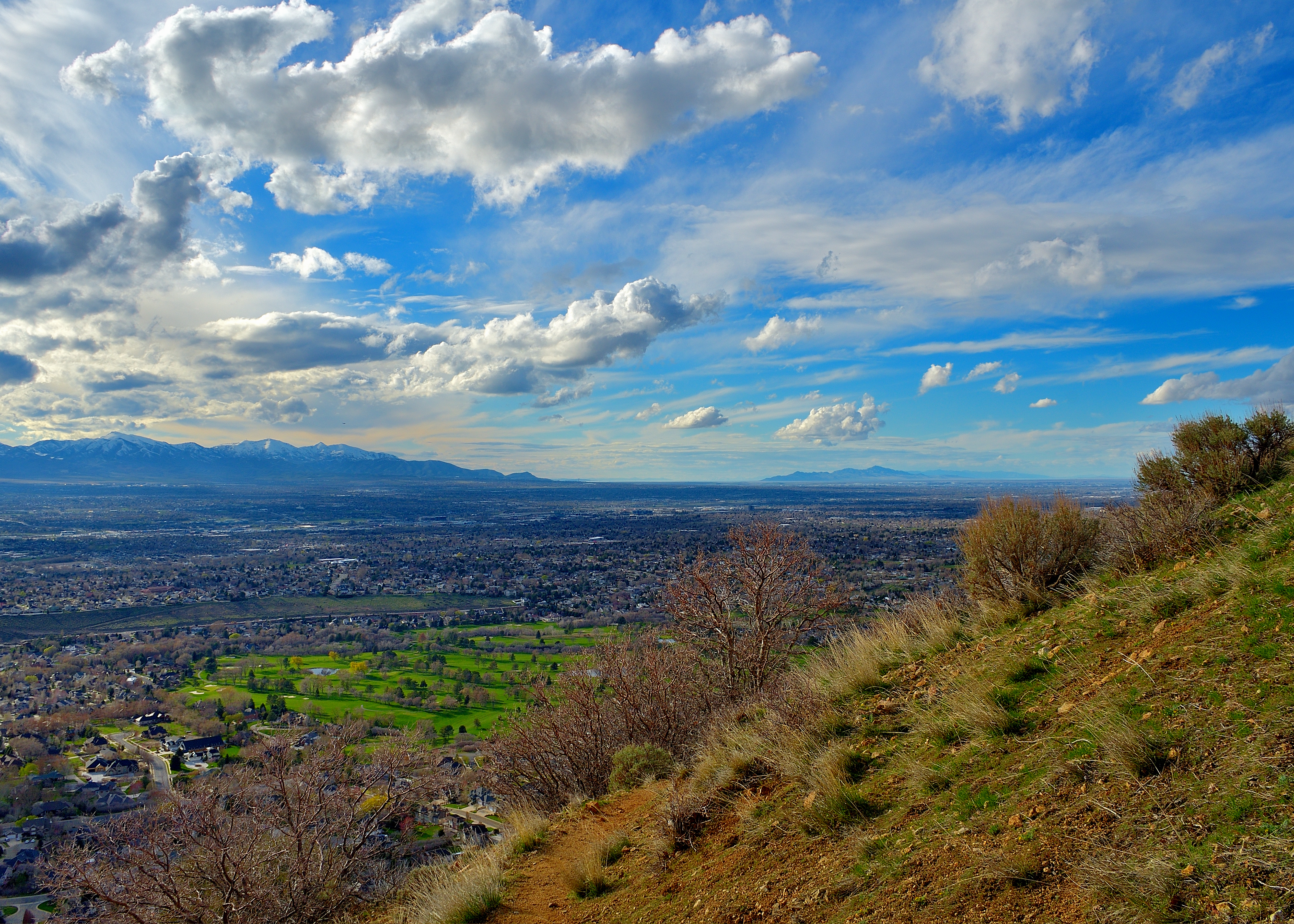
Utah County overlook

Harry Potter Magic Duel 095/365

Draper Temple at Sunset

Touching Down

World View

Presidents Day - American Danboard 51/365

Vintage Self Portrait 058/365

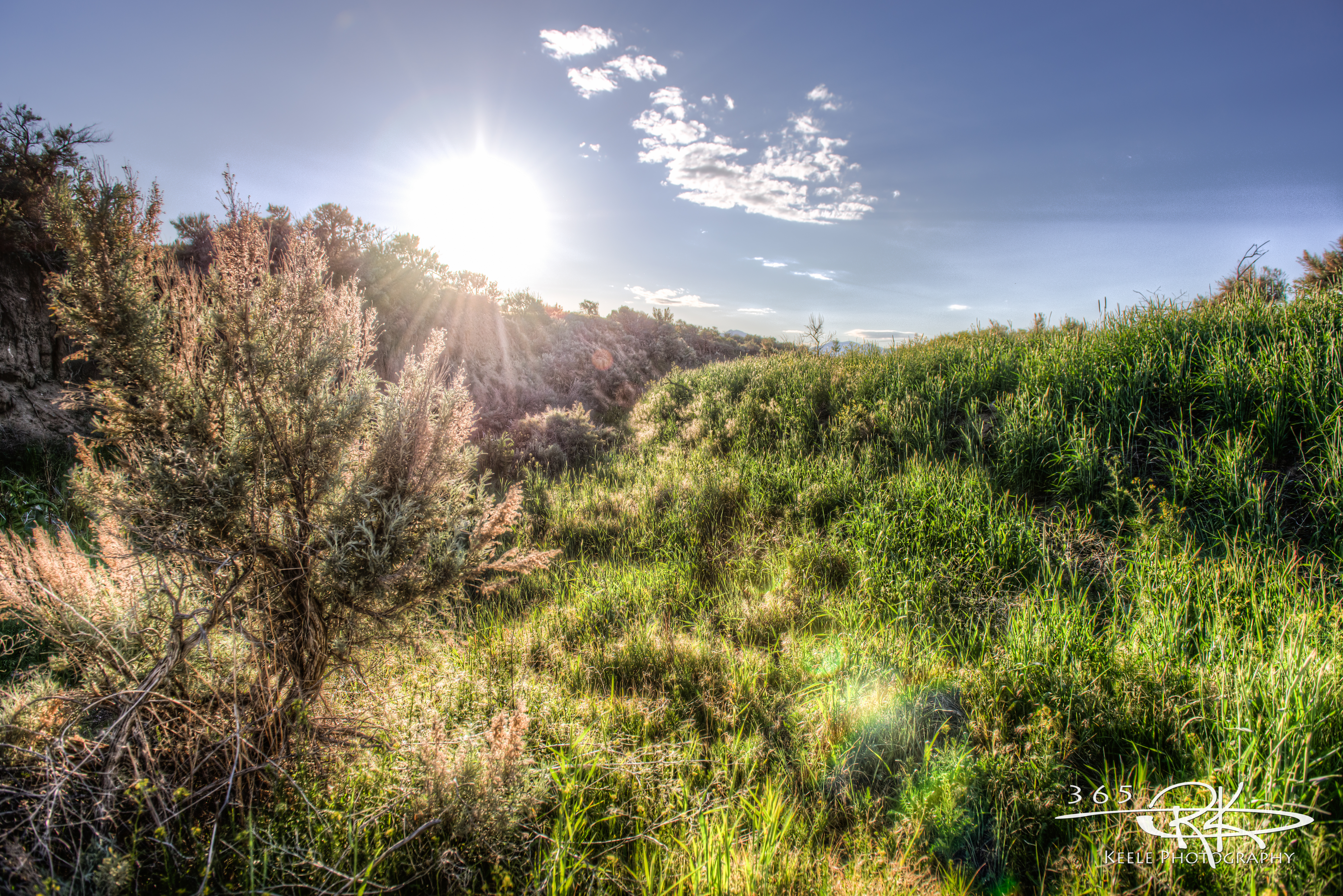
Fields For Furrows

Dissociation Station

A Wonderful Plane-side Sunset in Utah

Mountains and More Mountains As Far As the Eye Could See

After the storm

Balloon Tour - Butterfly Garden

Traverse Mountain Quarries

Bingham Canyon Mine, Salt Lake City, Utah

Angle Iron Alibi
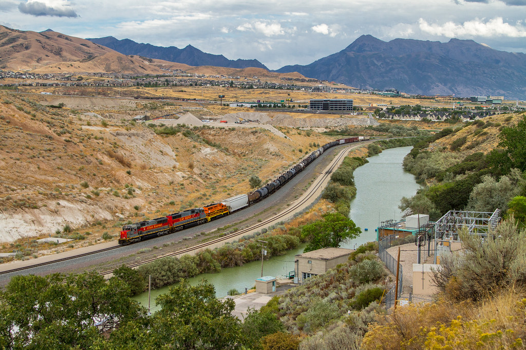
Utah Railway

Pieces Of My Shattered Mirror
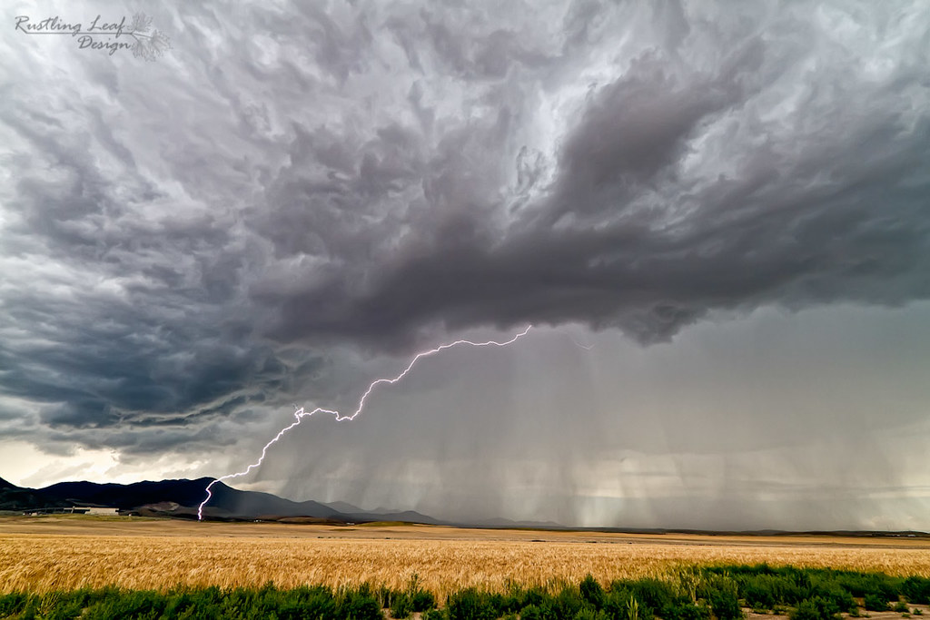
Lightning storm

Bryce canyon

little cottonwood canyon

LDS Temple Spire

little cottonwood canyon

Exhausting but great and beautiful 15 miles hike to Angel arch at Needles district of Canyonlands National park. #fotowalk #instagood #instamood #canyonlandsnationalpark #angelarch #needles #utah #travel #hike #glebtarro
#336 Photo Walk

Lone Peak

Rivers & Roads

Stormy Evening at Oquirrh Lake

Herriman Highway

the Fog goes on
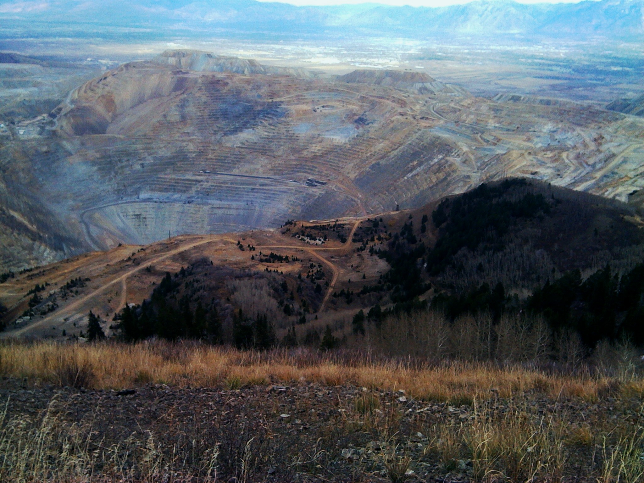
Bingham Canyon Mine
Topographic Map of Rosecrest, Herriman, UT, USA
Find elevation by address:

Places near Rosecrest, Herriman, UT, USA:
5092 Springheather Cir
5014 Cave Peak Dr
5393 Lightening Peak Dr
14258 S Copper Oaks Dr
14447 South Quiet Shade Drive
5926 W Killington Ct
6191 W 13900 S
13222 S Woods Park Dr
14103 S Hollow Vista Cove
Herriman
Wailaki Circle
4987 Badger Ln
6237 W 13100 S
14343 Red Barn Cir
14102 Sleepy Oaks Ln
4441 Shiprock Pl
3741 W 12600 S
11847 S Taylors Claim Ct
3083 Vera Ln
11405 Grandville Ave
Recent Searches:
- Elevation of Corso Fratelli Cairoli, 35, Macerata MC, Italy
- Elevation of Tallevast Rd, Sarasota, FL, USA
- Elevation of 4th St E, Sonoma, CA, USA
- Elevation of Black Hollow Rd, Pennsdale, PA, USA
- Elevation of Oakland Ave, Williamsport, PA, USA
- Elevation of Pedrógão Grande, Portugal
- Elevation of Klee Dr, Martinsburg, WV, USA
- Elevation of Via Roma, Pieranica CR, Italy
- Elevation of Tavkvetili Mountain, Georgia
- Elevation of Hartfords Bluff Cir, Mt Pleasant, SC, USA