Elevation of Herriman, UT, USA
Location: United States > Utah > Salt Lake County >
Longitude: -112.03299
Latitude: 40.5141147
Elevation: 1508m / 4947feet
Barometric Pressure: 84KPa
Elevation Map:
Satellite Map:
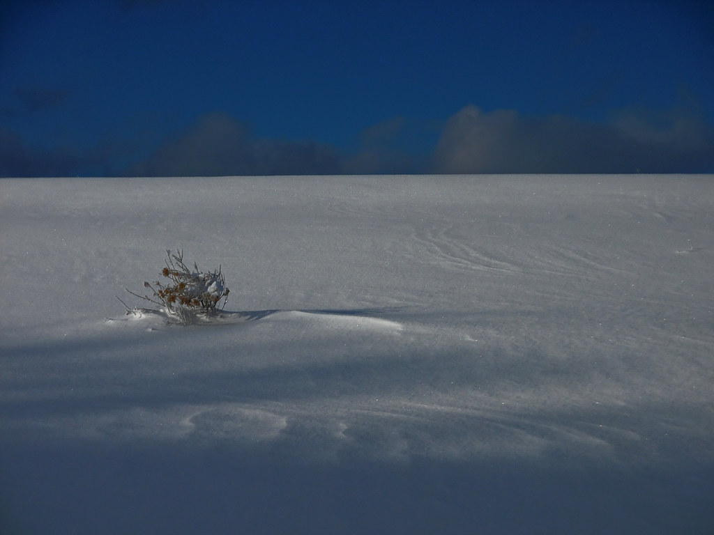
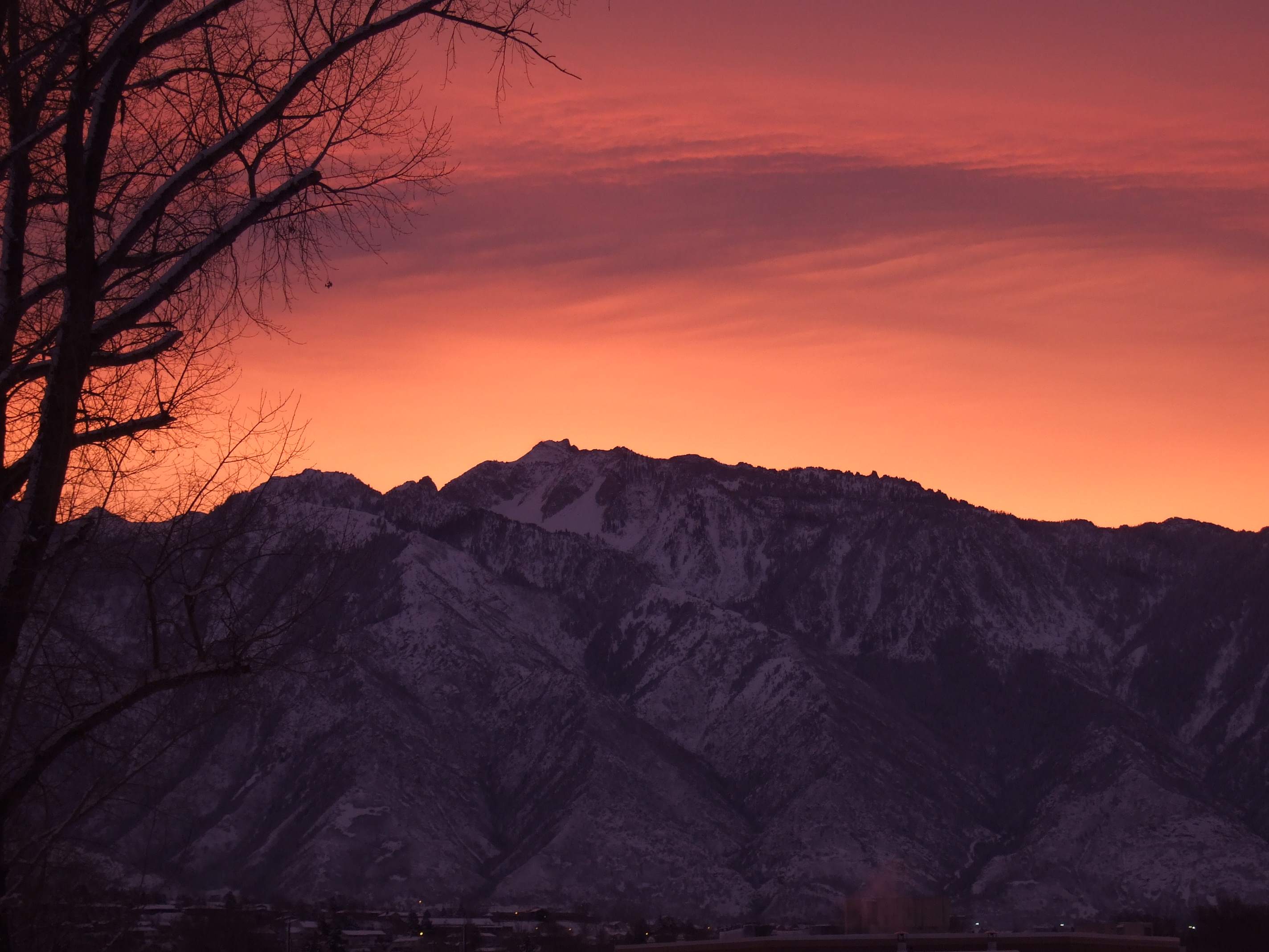
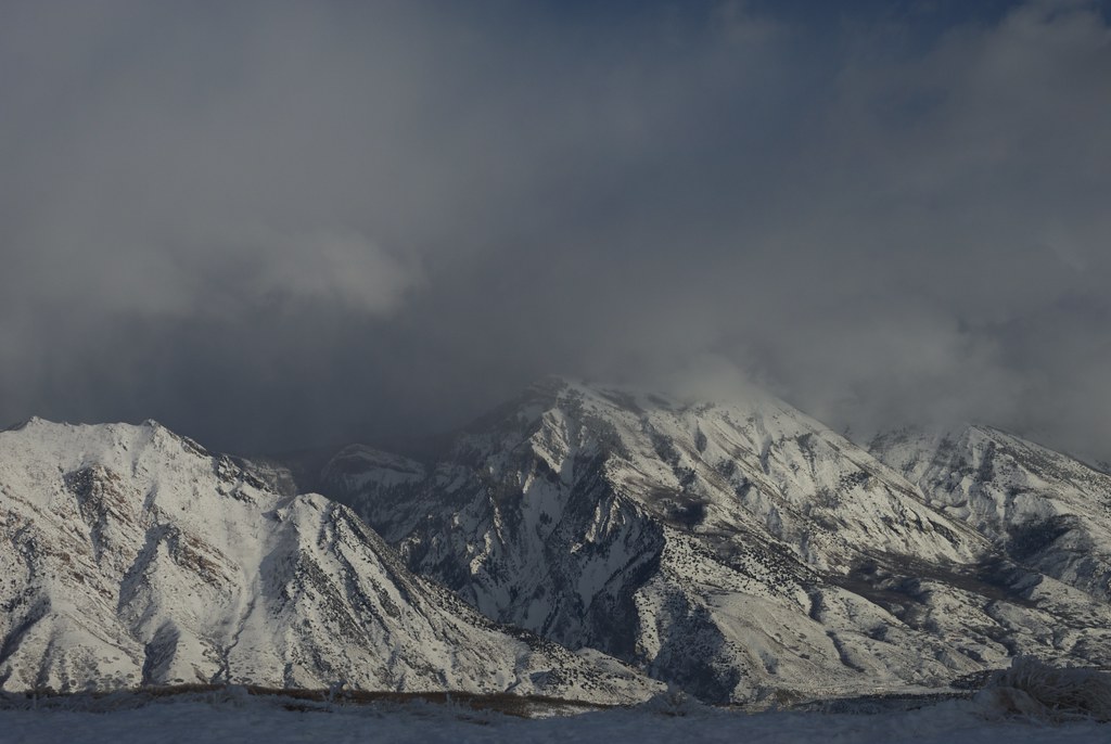
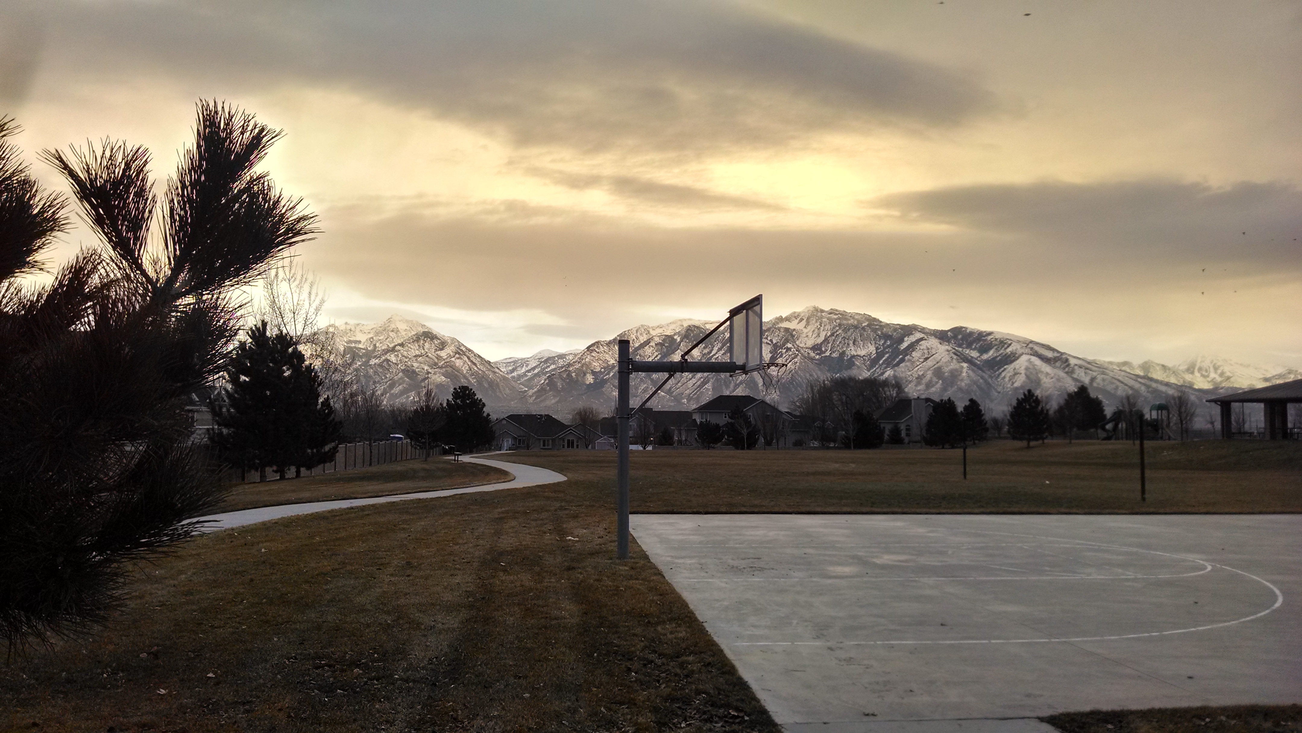
Related Photos:

23/365 Into the Darkness: Walking

Balloon Tour - Butterfly Garden

Harry Potter Magic Duel 095/365
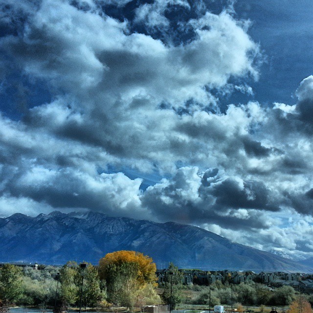
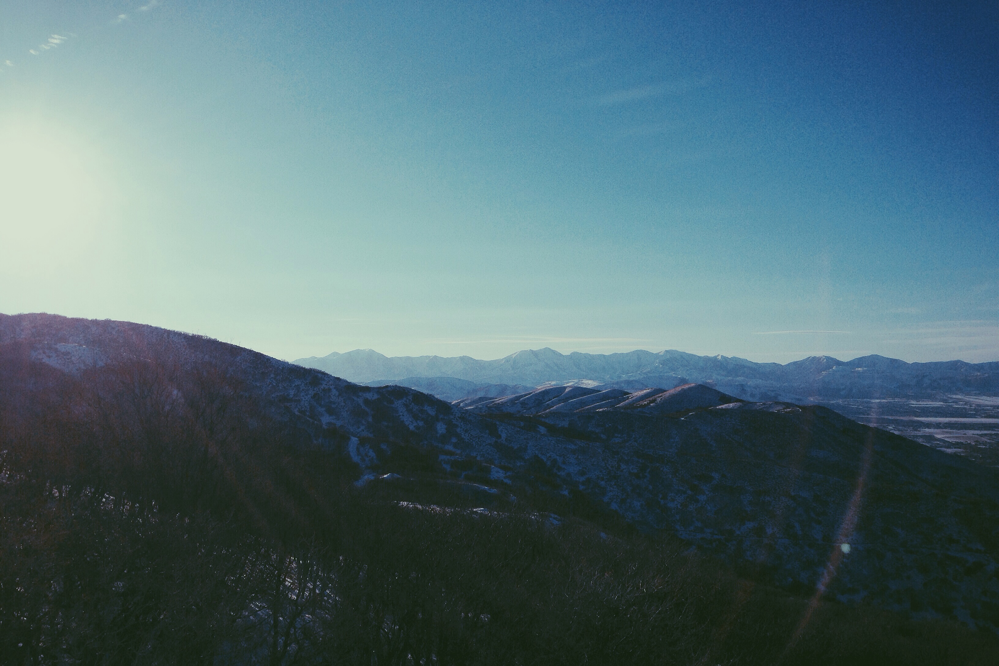
Wasatch mountains

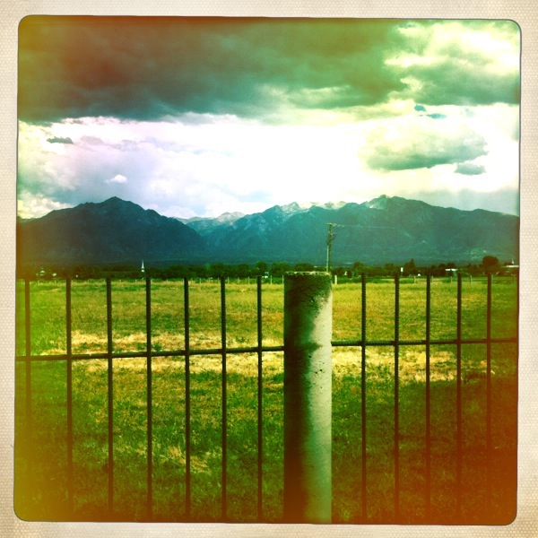
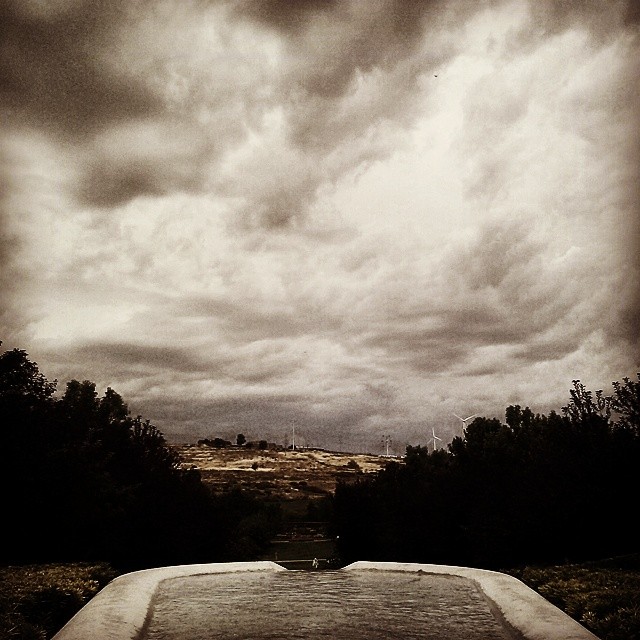
After the storm

"Desert Sky, Dream Beneath a Desert Sky"
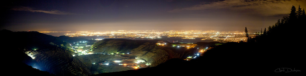
Kennecott Valley
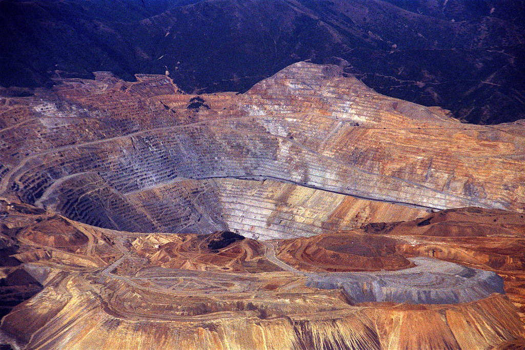
Bingham Canyon Mine, Salt Lake City, Utah

Picture of Self Portrait 34/365

Typical American Home

Heather & Duaflex II

State Route 175 / 114th South

Presidents Day - American Danboard 51/365
My Daily View #dealertrack #fall
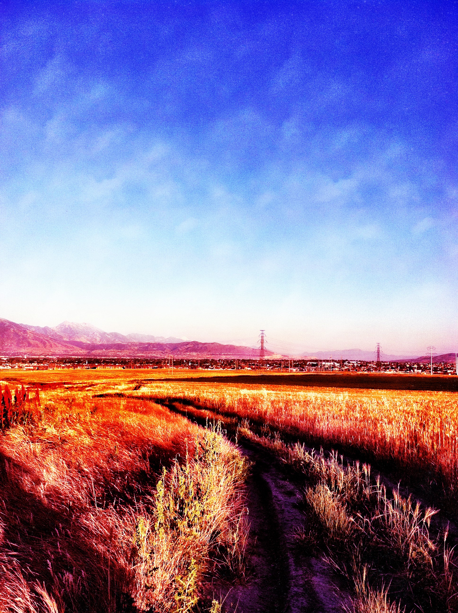
Fields For Furrows
Lone Peak View
Dissociation Station
Morning of 2/12/14

Lil Danbo, Meet Big Danbo 35/365

Ceiling view #EveryDayFit #lift #weights #powertec #getafterit @StevePfiester @theangrytrainer
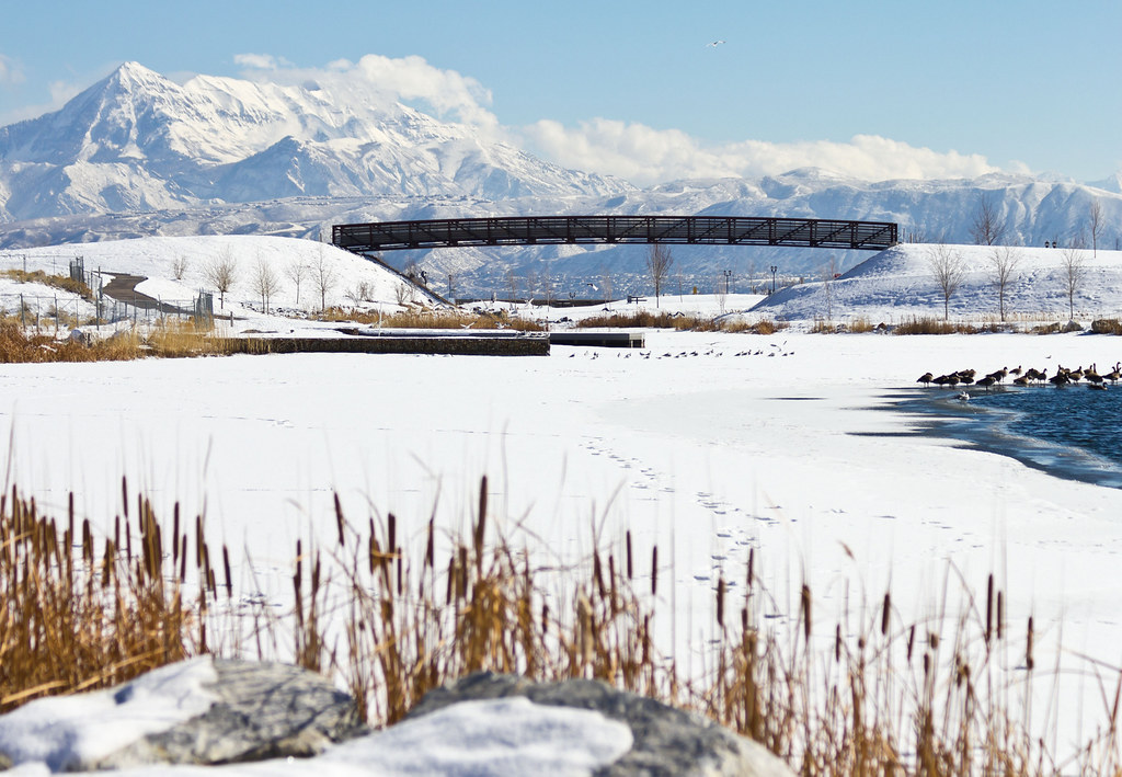
Frozen Oquirrh Lake Timpanogos View

LDS Temple Spire
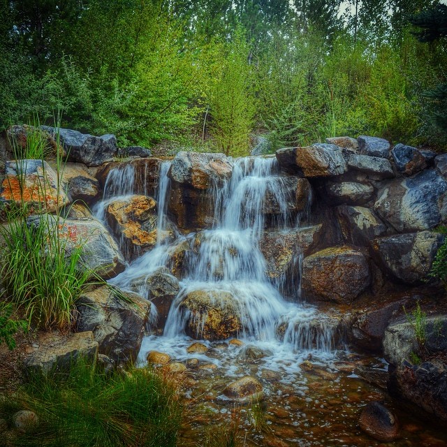
Babbling brook burbling at #thanksgivingpointgardens
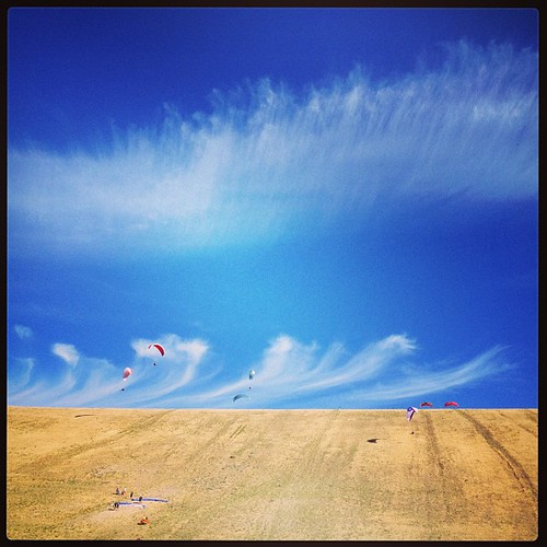
#paragliders #paragliding in #utah #summer2013 Awesome morning. Sweetness!!

Two paths converged in a yellow wood... Robert Frost

Sandy Balloon Festival 2013

Sunset 08/04/2012

Lightning storm

Beautiful Utah!

360 from on top Small Planet

#oquirrhmountain #Mormon #temple
Whispers on the wind
#Italiangarden and #windmill at #thanksgivingpointgarden #thanksgivingpoint and #pointofthemountain #lehi #Utah
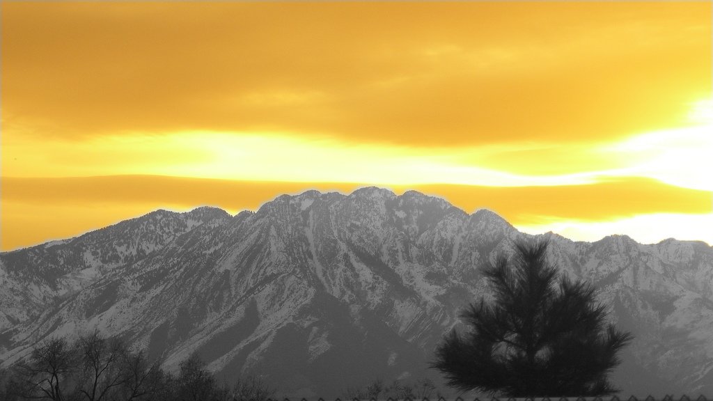
Photo # 12 (edited)

Summer Solstice Sunset 2012

Herriman Highway

2010-07-27-09-02-00-891 copy 1
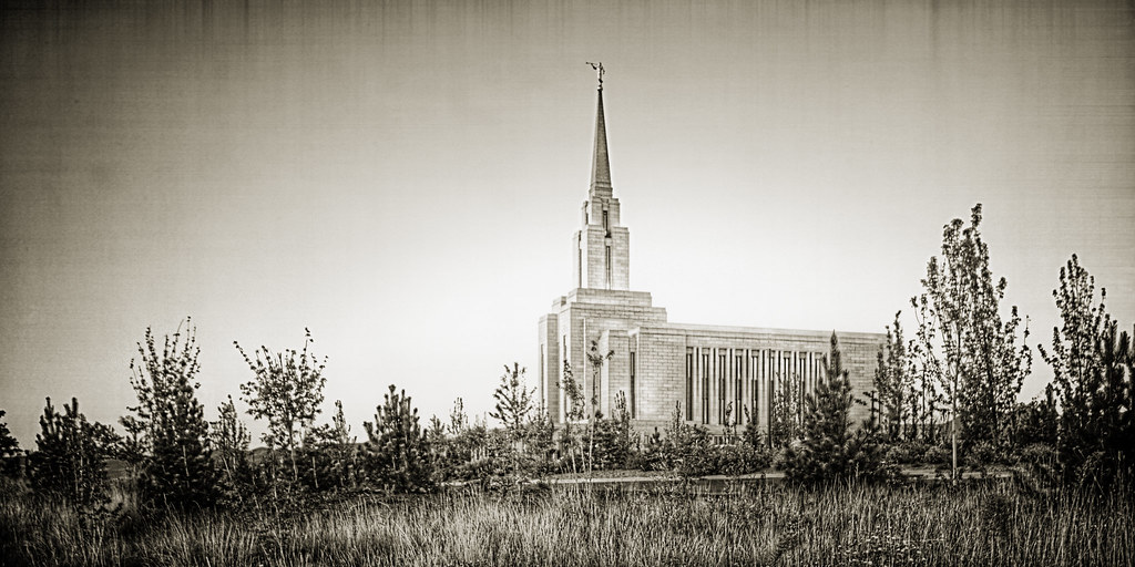
Oquirrh Mountain Temple

After The Summer Rain Rainbow Panorama
frijid.
Happy 4th of July
Topographic Map of Herriman, UT, USA
Find elevation by address:

Places in Herriman, UT, USA:
Places near Herriman, UT, USA:
6237 W 13100 S
13222 S Woods Park Dr
6191 W 13900 S
14103 S Hollow Vista Cove
5393 Lightening Peak Dr
4987 Badger Ln
5926 W Killington Ct
14102 Sleepy Oaks Ln
Wailaki Circle
14343 Red Barn Cir
5014 Cave Peak Dr
Rosecrest
5092 Springheather Cir
14258 S Copper Oaks Dr
11847 S Taylors Claim Ct
11405 Grandville Ave
10605 Grandville Ave
Daybreak Parkway
Daybreak
4441 Shiprock Pl
Recent Searches:
- Elevation of Corso Fratelli Cairoli, 35, Macerata MC, Italy
- Elevation of Tallevast Rd, Sarasota, FL, USA
- Elevation of 4th St E, Sonoma, CA, USA
- Elevation of Black Hollow Rd, Pennsdale, PA, USA
- Elevation of Oakland Ave, Williamsport, PA, USA
- Elevation of Pedrógão Grande, Portugal
- Elevation of Klee Dr, Martinsburg, WV, USA
- Elevation of Via Roma, Pieranica CR, Italy
- Elevation of Tavkvetili Mountain, Georgia
- Elevation of Hartfords Bluff Cir, Mt Pleasant, SC, USA