Elevation of Lightening Peak Dr, Riverton, UT, USA

Location: United States > Utah > Salt Lake County > Riverton >

Longitude: -112.01938

Latitude: 40.4942725

Elevation: 1508m / 4947feet

Barometric Pressure: 84KPa

Elevation Map:

elevation map of Lightening Peak Dr, Riverton, UT, USA

Satellite Map:

Satellite map of Lightening Peak Dr, Riverton, UT, USA
Related Photos:

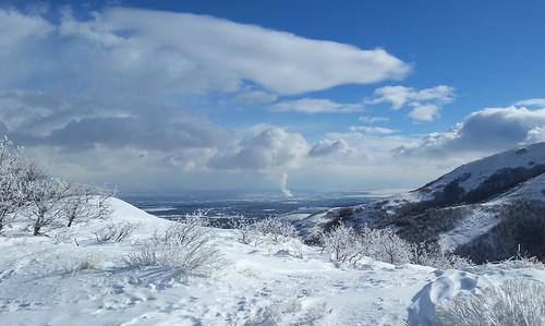
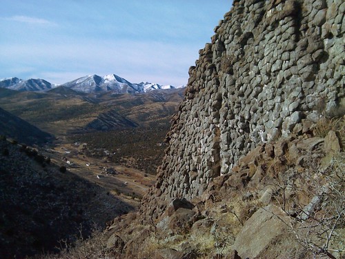
sky cloud snow landscape utah pattern wind horizon snowdrift shrub drift draper suncrest saltlakecounty traversemountains deerridgedrive lebarodea viewbenchmark
Fields For Furrows
winter cliff cloud mountain snow rock landscape wasatch peak canyon ridge highland alpine summit utahcounty americanforkcanyon utahvalley americanfork uintanationalforest mounttimpanogos boxelderpeak mahoganymountain traversemountains deerridgedrive lebarodea viewbenchmark
Dissociation Station
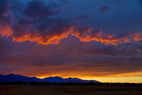
october 2018 moon cloudsstormssunsetssunrises monochrome blackandwhite bw sandy utah lightroomcc sonyilce9 fe70200mmf28 gmoss2x alvinharp
heavenly trick or treat...
draperutahtemple cornercanyon lebarodea utah wasatch traverse oak fence wood drl nikond7500 ridge trail lot house mansion blue green sky road bonnevilleshorelinetrail steeple angelmoroni
All Trails East
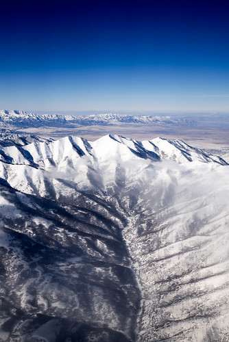
travel sunset mountains nature utah unitedstates overcast snowcapped day1 planewindow airplanewindow herriman lookingwest wasatchrange nearsunset deseretpeak project365 colorefexpro airplanewindowview mountainsindistance lookingouttheairplanewindow lookingoutsideplanewindow goshuterange nikond800e flightaustoslc mountainsoffindistance lookingoutairplanewindow capturenx2edited triptoidahoandgrandtetons eastcentralgreatbasinranges greatsaltlakedesertranges northernwasatchrange
A Wonderful Plane-side Sunset in Utah
travel mountains nature utah unitedstates overcast snowcapped day1 planewindow airplanewindow herriman flattopmountain project365 colorefexpro oquirrhmountains airplanewindowview lookingsw mountainsindistance lookingouttheairplanewindow easttinticmountains lookingoutsideplanewindow nikond800e flightaustoslc mountainsoffindistance lookingoutairplanewindow capturenx2edited triptoidahoandgrandtetons centralutahdesertranges eastgreatbasinranges westtinticmountains
Mountains and More Mountains As Far As the Eye Could See
View Benchmark
westjordan angbase saltlakecity usarmy utahairnationalguard ang boeing ah64a apache utah 1996
Anything can happen...
blue light sunset color yellow architecture clouds temple lights utah view sunsets cannon mormon bluehour lds hdr starburst draper postsunset ldstemples drapertemple hdrprocessing canoneosrebelt3i
Majestic Draper Temple at Blue Hour
sky snow mountains clouds utah view hills draper
Utah County overlook
storm clouds fire fight magic harrypotter levitation canonef24105mmf4lisusm 5dmkii
Harry Potter Magic Duel 095/365
After the storm
city trees light sunset red sky orange sun white lines yellow clouds fence temple utah twilight parkinglot day shadows view explosion processing cannon mormon bushes lds hdr draper latterdaysaint saltlakecounty drapertemple hdrprocessing cannonpowershota495 pwpartlycloudy
Draper Temple at Sunset
tulips hotairballoon blythe misssallyrice simplyvanilla
Balloon Tour - Butterfly Garden
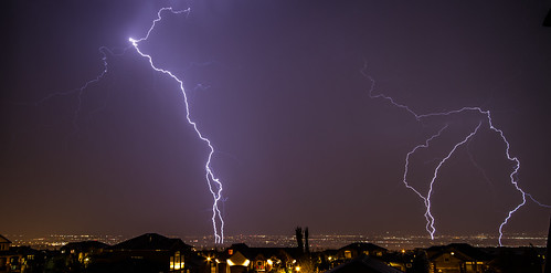
longexposure light sky storm clouds utah view wideangle saltlakecity lighttrails lightning lightroom herriman sigma1020 canon7d bwsterlingphotography
Touching Down
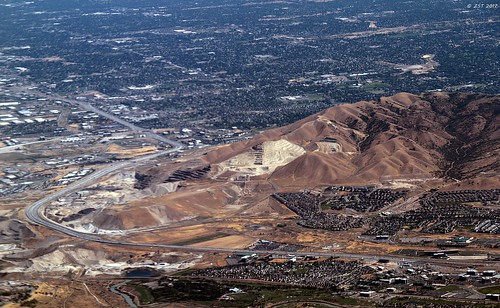
aerial assignment commercialflight eclipseweek flight houstontosaltlakecity iah2slc texastoutah utah viewfromwindow windowseat zeesstof
Traverse Mountain Quarries
yanacornercanyon blonde woman portrait pose outdoors off camera flash nikon d750 85mm18g draper utah
World View
selfportrait canon 100mm fisheye 7d 15mm canonef15mmf28fisheye 5dmkii ef100mmf28lmacroisusm
Picture of Self Portrait 34/365
county panorama lake art nature silhouette rio night forest landscape utah mine exposure glow outdoor fine salt pit valley copper wilderness tinto kennecott
Kennecott Valley
view utah peaks winter canyon mountains oquirrhmountains horizon clouds slope snow maplecanyon trees above valley ridges flight plane millcanyon kelseypeak snowcap sky travel landscape windowseat flying mountainrainge herriman unitedstates us
kelsey peak
view utah hole peaks winter mine kennecottcoppermine mountains excavation oquirrhmountains binghamcanyonmine horizon slope snow copper trees above mining coppermine flight plane mountainrange roads snowcap clouds travel landscape windowseat flying mountainrainge southjordan unitedstates us
the copper mine
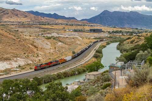
utahlake provo wasatch oquirrh range lakemountain loafermountain maplemountain spanishforkpeak lebarodea reflection tower communications radio clumpgrass saratogasprings drymountain baldmountain santaquin peak santaquinpeak butterfieldpeaks westmountain springville spanishfork burnscar spanishforkcanyon summit eaglemountain mapleton distant vast utah utahvalley cedarvalley threesisters
Angle Iron Alibi
Utah Railway
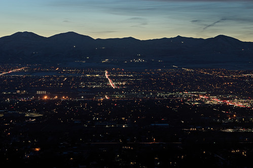
sunset utah valley citylights statestreet highway89 interstate15 saltlakevalley oquirrh binghamcanyon oquirrhmountains bonnevilleshorelinetrail lowepeak lebarodea orsonsmithtrailhead
Pieces Of My Shattered Mirror
lebarodea drl jordanriver lakemountain nikond7500 utah jordannarrows bridge jordanriverparkwaytrail stream creek meandering indiancrossingpark walkway path paved fence powerlines bright snow ridge utahvalley
Rivers & Roads
Stormy Evening at Oquirrh Lake
lightning
Lightning storm
Bryce canyon
little cottonwood canyon big landscape forest road tree sony alpha ilce 6500 a6500 nikon series e seriese eseries 100mm f28 nature utah snowbird manual lens manuallens vintagelens oldlens retrolens adaptedlens adaptedlenses ais classiclens classiclenses
little cottonwood canyon
clouds landscape utah farm shed hdr herriman photomatix saltlakecounty bartwilliams
Herriman Highway
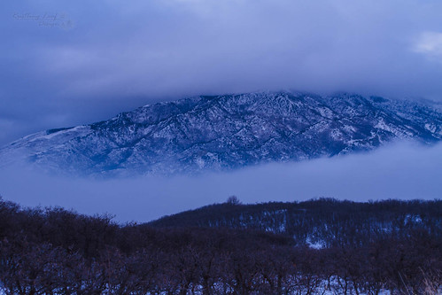
utah unitedstates draper
the Fog goes on
winter usa mountain temple utah ut steeple spire mormon lds daybreak 2012 moroni southjordan wasatchmountain saltlakecounty oquirrhtemple ldstemplespire
LDS Temple Spire
texture sepia temple utah canonrebel mormon rebelxt lds hdr southjordan ldstemple sepiahdr oquirrhmountain oquirrhmountaintemple
Oquirrh Mountain Temple
utah hotairballoons balloonfestival
Sandy Balloon Festival 2013
utahisawesome utah binghamcanyonmine dronephotography aerialphotography
Bingham Canyon Mine Overlook
Sunset Boardwalk at Oquirrh Lake
Step Mountain
landscape forest road mountainside mountain tree nature swirling roads swirly sony alpha a6500 6500 ilce nikon series e seriese eseries 100mm f28 utah little cottonwood canyon big path curvy manual lens vintagelens oldlens retrolens ais classiclens classiclenses
little cottonwood canyon
square squareformat aden iphoneography instagramapp uploaded:by=instagram
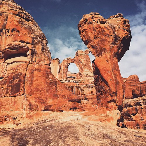
Exhausting but great and beautiful 15 miles hike to Angel arch at Needles district of Canyonlands National park. #fotowalk #instagood #instamood #canyonlandsnationalpark #angelarch #needles #utah #travel #hike #glebtarro