Elevation of Rivercrest Dr, South Fork, CO, USA
Location: United States > Colorado > Rio Grande County > South Fork >
Longitude: -106.64381
Latitude: 37.6640321
Elevation: 2502m / 8209feet
Barometric Pressure: 75KPa
Elevation Map:
Satellite Map:
Related Photos:

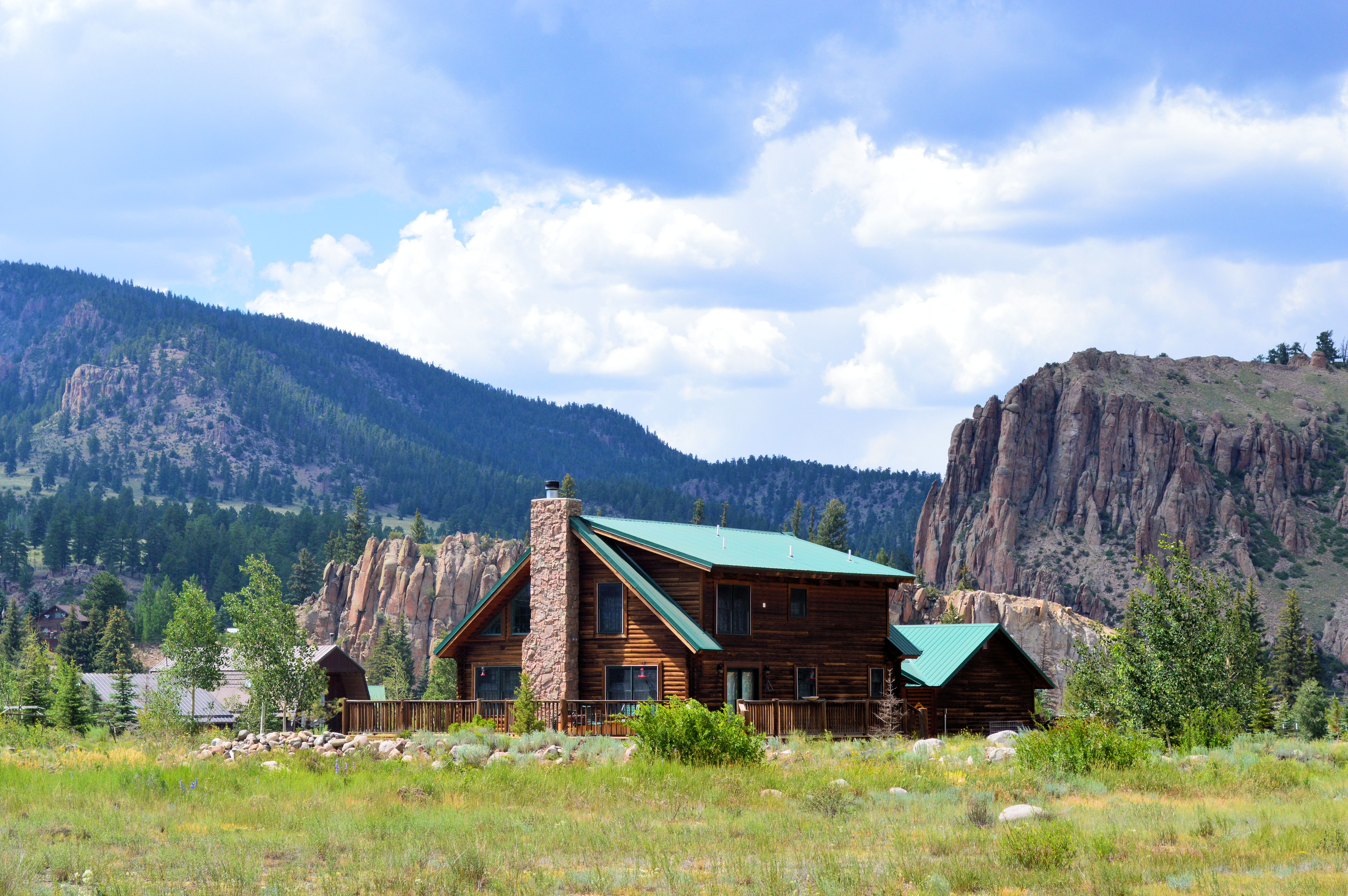
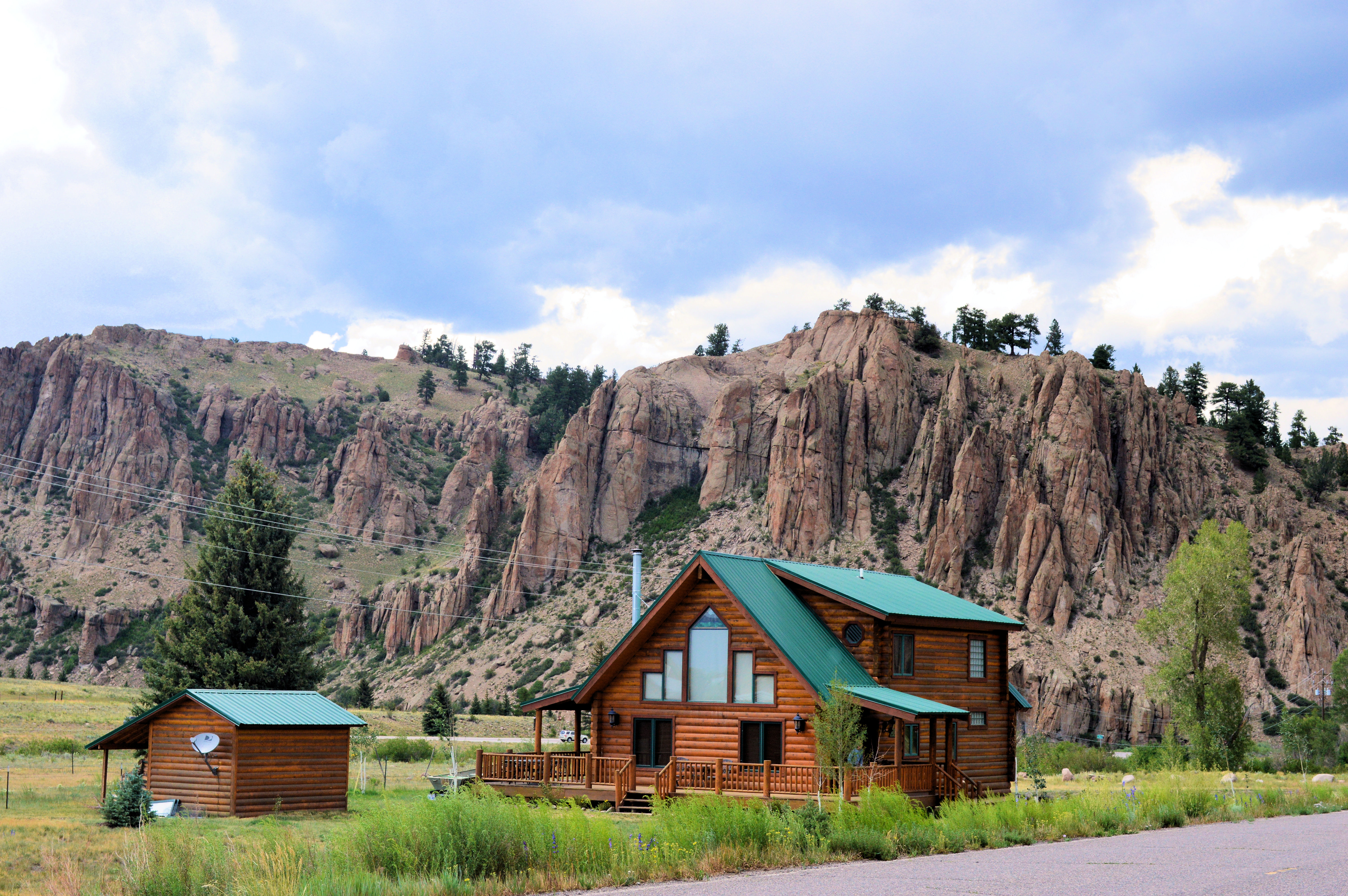
Ute Bluff Lodge
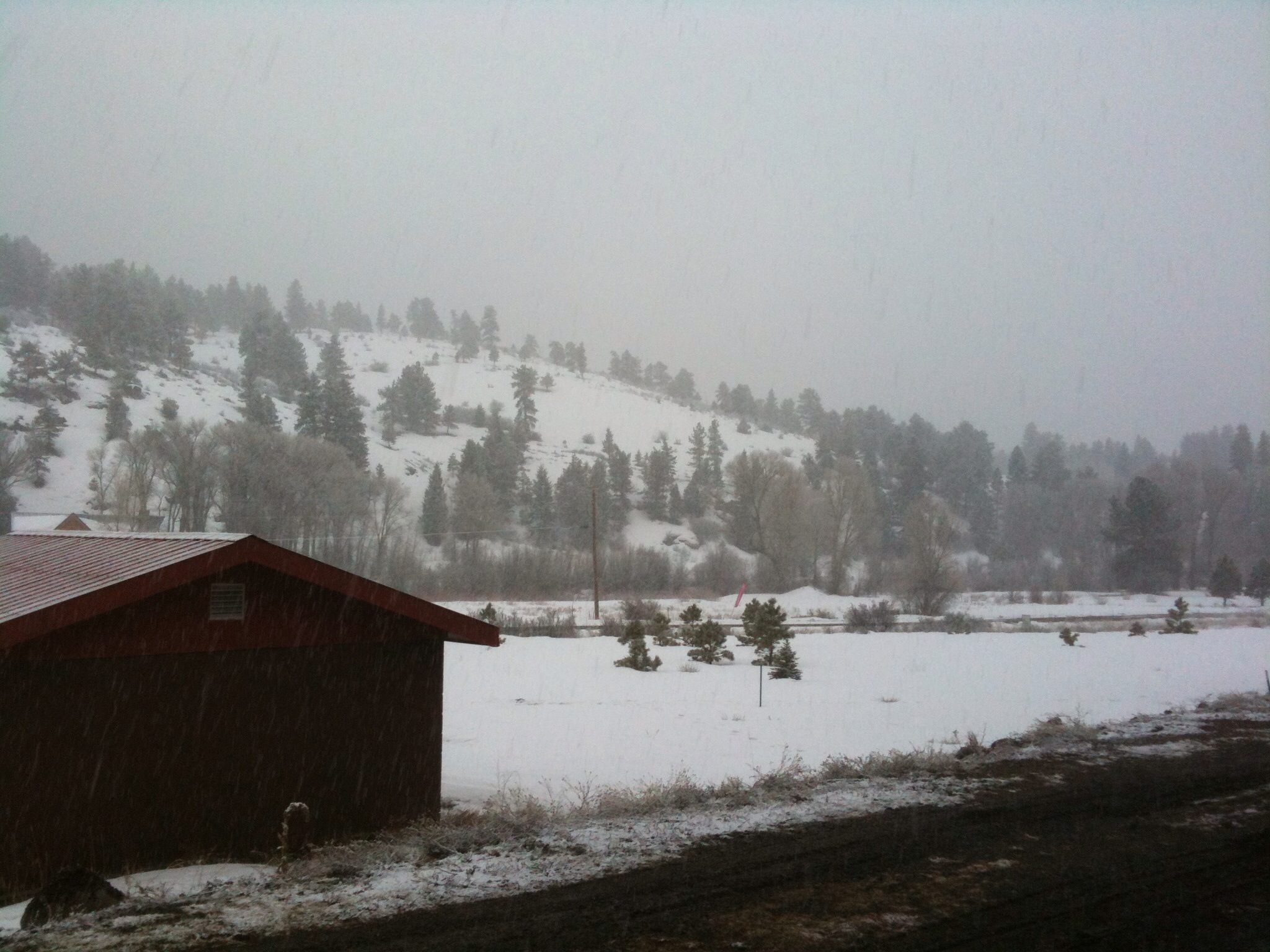
view from hotel in Southfork, CO

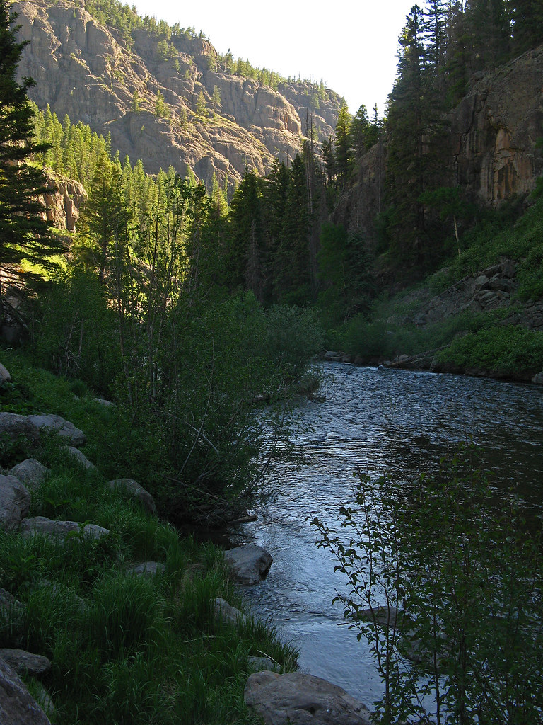
Wolf Creek
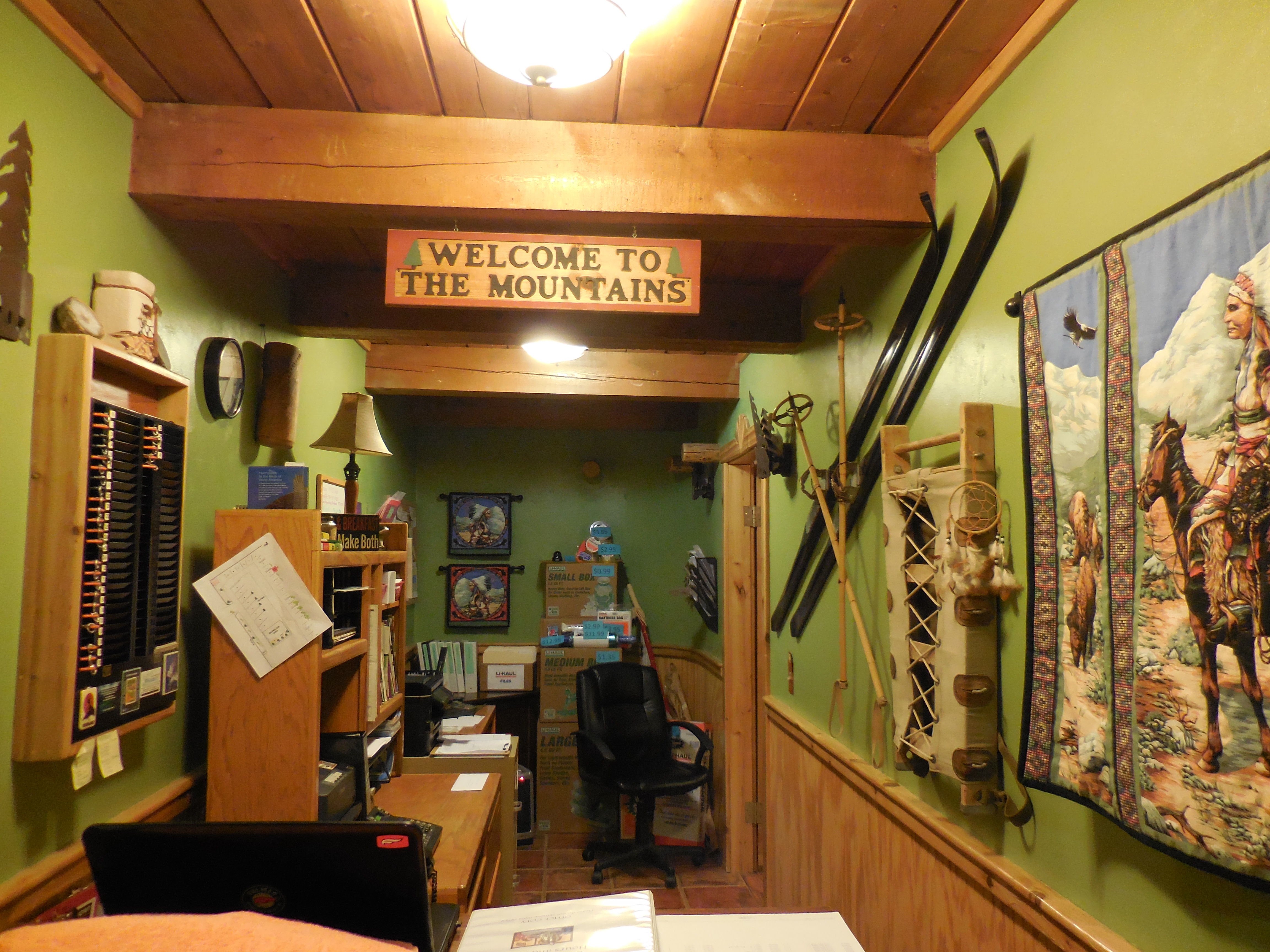
Ute Bluff Lodge in South Fork, Colorado
Wolf Creek
Wolf Creek: East Side of Wolf Creek Pass, Colorado (CO)

Colorado view
Mesa Verde, durango

Mesa Verde, durango

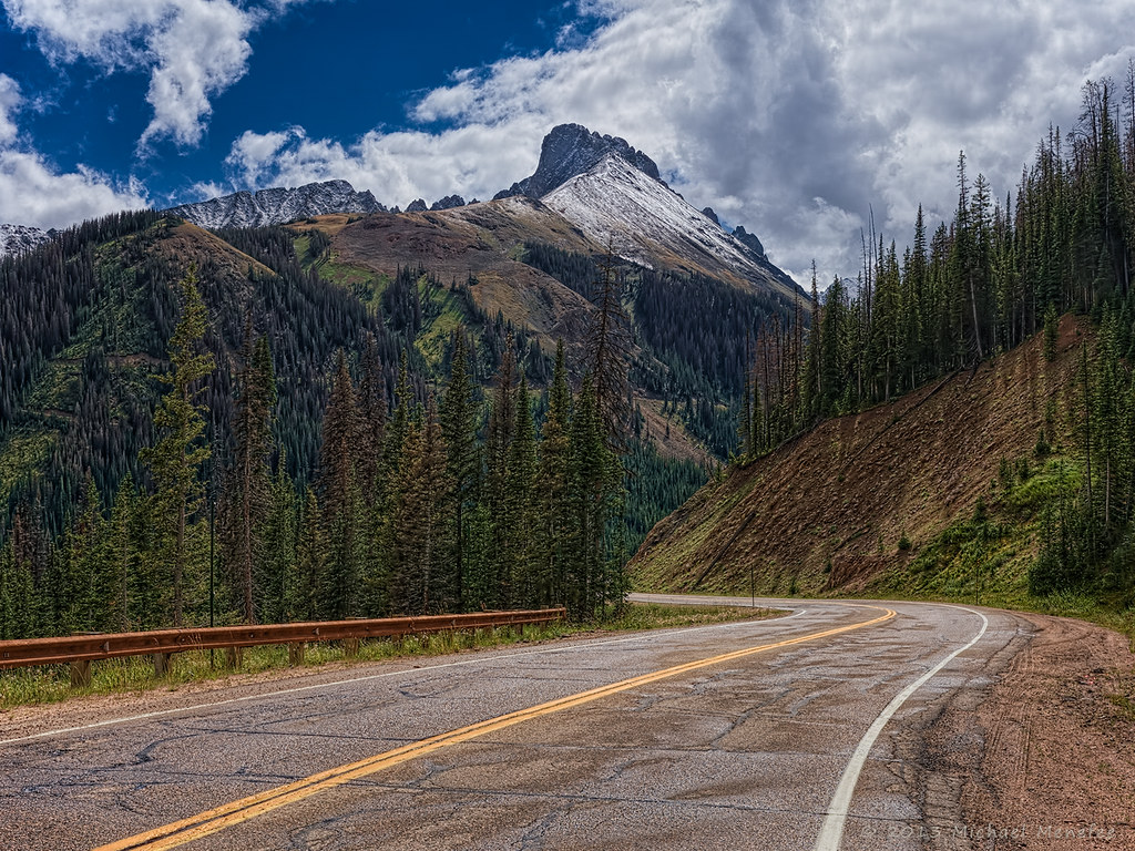
Road and Mountain view, Colorado
Nearing the Peak of Cameron Pass

Hummingbird feeding on trumpet flower
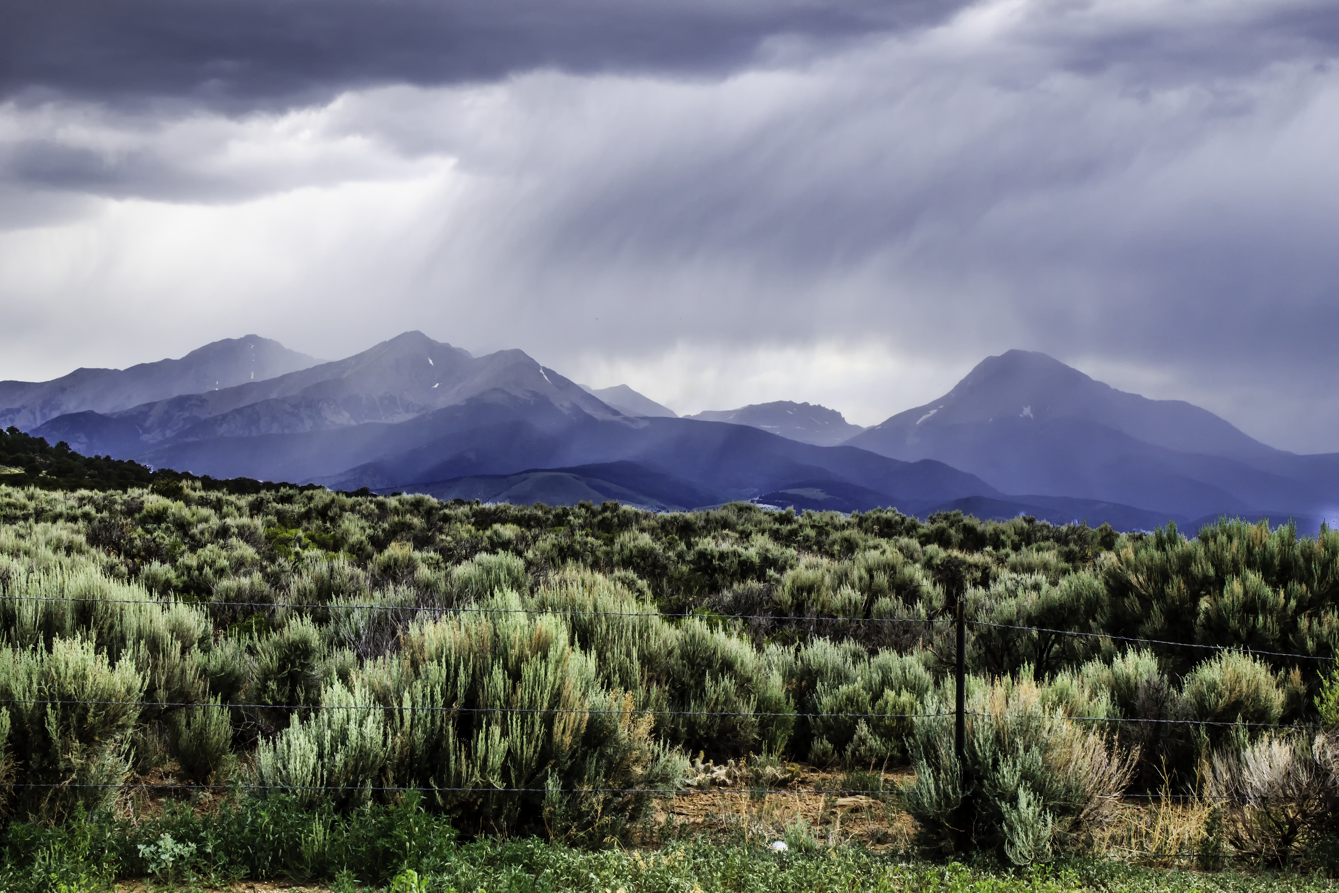
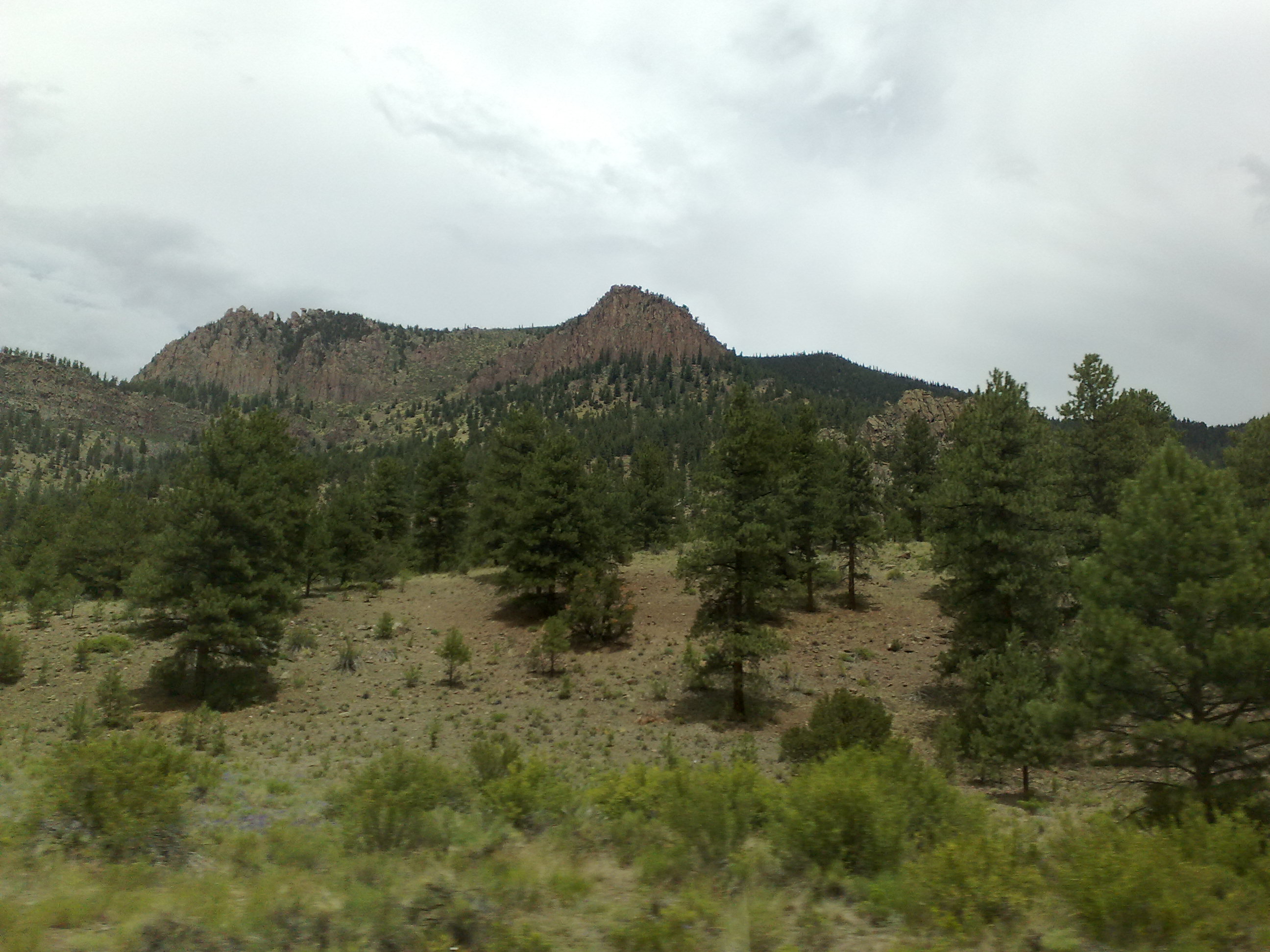
Mountains near Del Norte-1336
2013_06_25-26_syd-akl-lax-iad-ewr_834

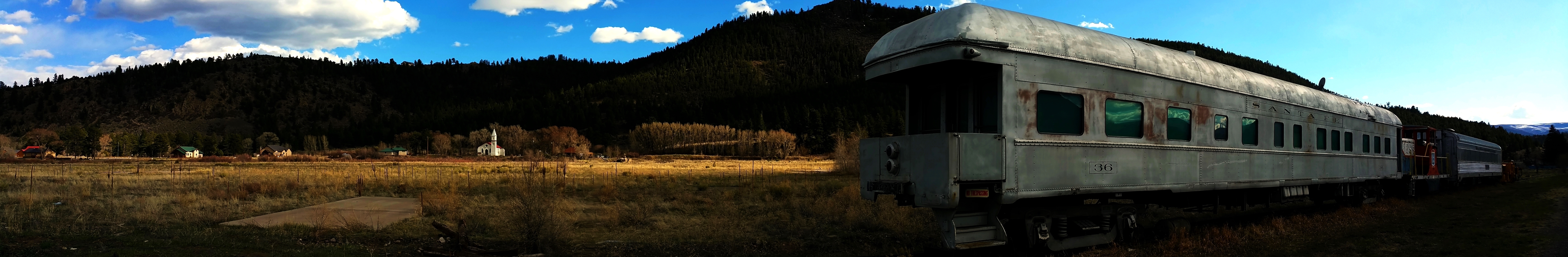
Historic Railroad Water Tank

Pastoral Southern Colorado 2
Mountain cabin
Mountain cabin
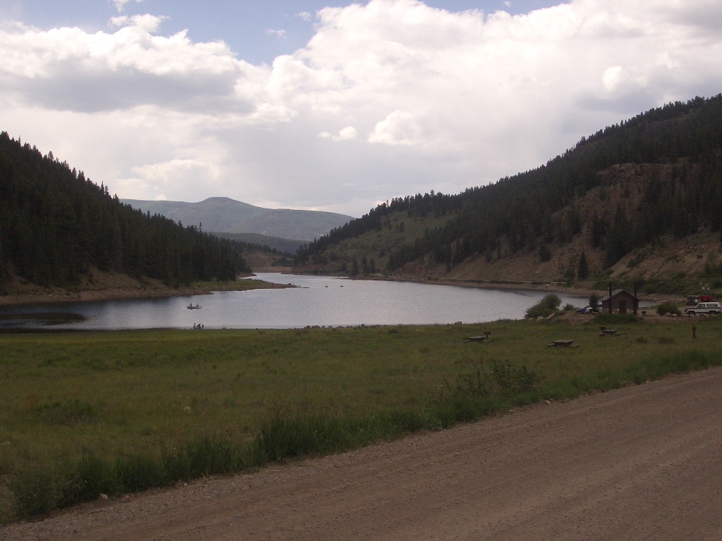
Beaver Creek Reservoir
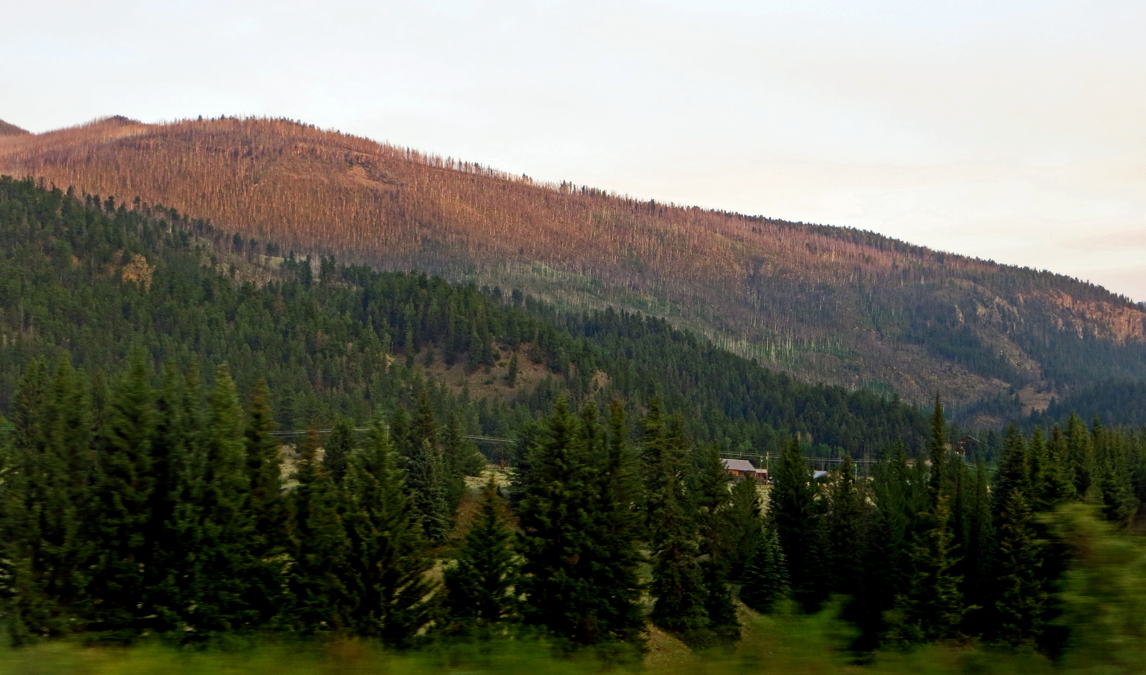
Dead Spruces Below Wolf Creek Pass
Driving from South Fork to Creede Colorado
Permanently Parked 24

Permanently Parked 25
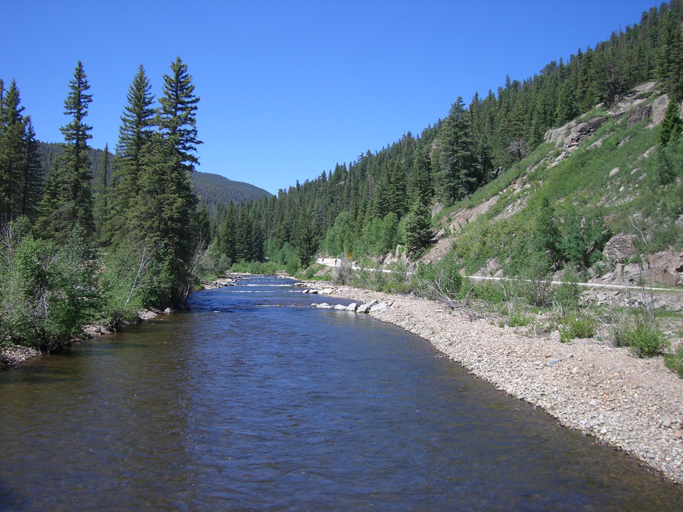
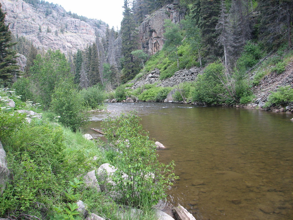
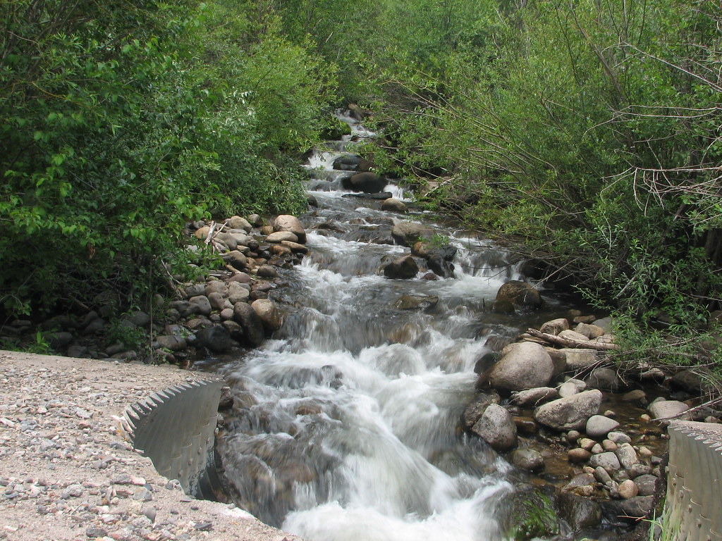
creek with road on right

From Creede to South Fork Colorado
Topographic Map of Rivercrest Dr, South Fork, CO, USA
Find elevation by address:

Places near Rivercrest Dr, South Fork, CO, USA:
South Fork
Alpine Trails Rv Park
188 Skyline Dr
148 Rock Ridge Ct
334 Bobcat Ct
Sentinel Peak
Riverbend Resort
2641 Bear Creek Cir
1984 Bear Creek Cir
91 Navajo Rd, South Fork, CO, USA
Gerrard
Alpine
Rabbit Ears Rd, South Fork, CO, USA
323 Berthoud Pass Rd
176 Red Feather Rd
Goodrich Peak
161 W Pfeiffer Loop
Trout Mountain
Mcclelland Mountain
Metroz Mountain
Recent Searches:
- Elevation of Corso Fratelli Cairoli, 35, Macerata MC, Italy
- Elevation of Tallevast Rd, Sarasota, FL, USA
- Elevation of 4th St E, Sonoma, CA, USA
- Elevation of Black Hollow Rd, Pennsdale, PA, USA
- Elevation of Oakland Ave, Williamsport, PA, USA
- Elevation of Pedrógão Grande, Portugal
- Elevation of Klee Dr, Martinsburg, WV, USA
- Elevation of Via Roma, Pieranica CR, Italy
- Elevation of Tavkvetili Mountain, Georgia
- Elevation of Hartfords Bluff Cir, Mt Pleasant, SC, USA