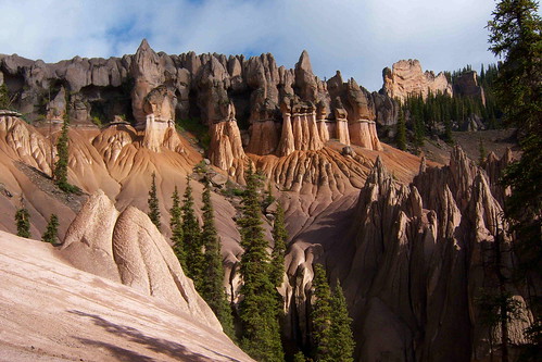
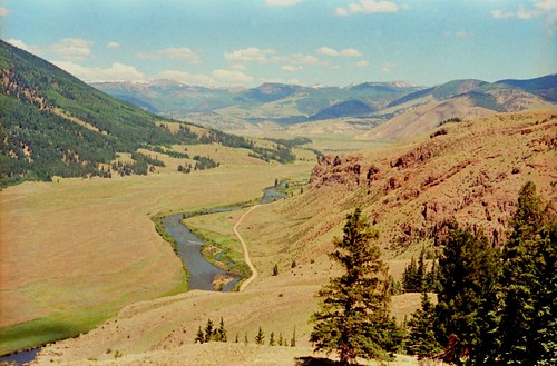
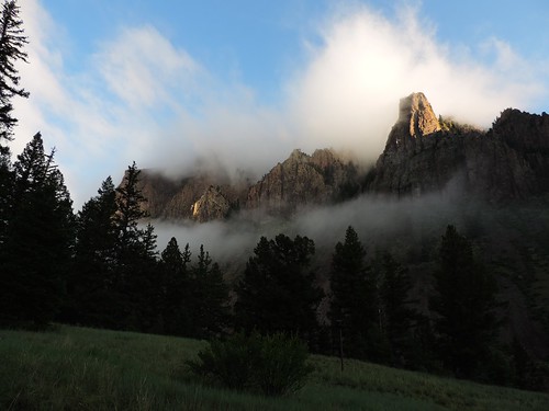
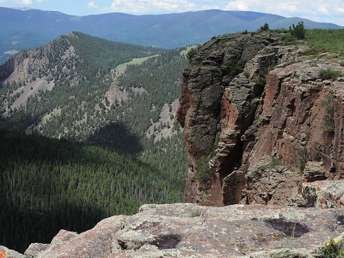
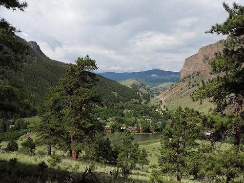
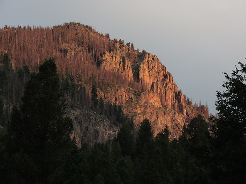
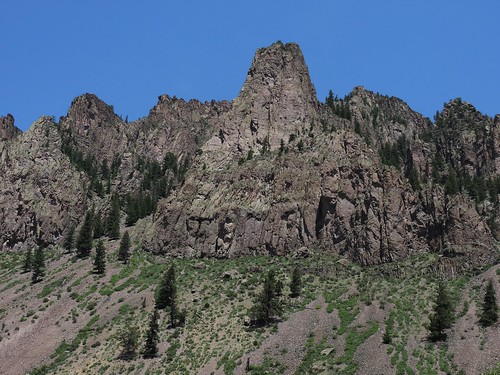
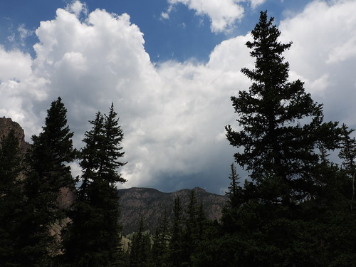
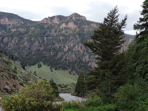
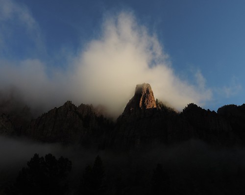
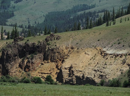
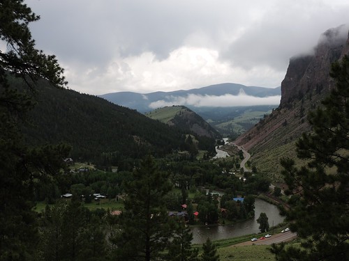
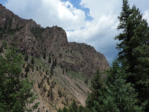
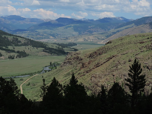
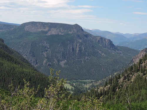
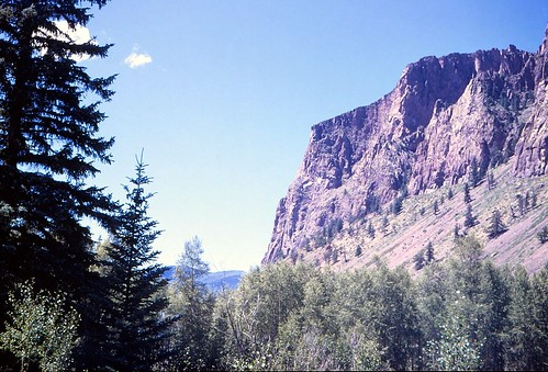
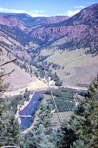
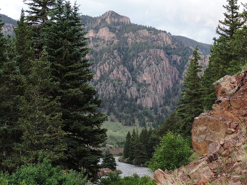
Elevation of McClelland Mountain, Colorado, USA
Location: United States > Colorado > Creede >
Longitude: -106.79559
Latitude: 37.7488915
Elevation: 3314m / 10873feet
Barometric Pressure: 67KPa
Related Photos:
Topographic Map of McClelland Mountain, Colorado, USA
Find elevation by address:

Places near McClelland Mountain, Colorado, USA:
CO-, Creede, CO, USA
Trout Mountain
Sentinel Peak
Metroz Mountain
Goodrich Peak
Riverbend Resort
Alpine Trails Rv Park
100 Rivercrest Dr
South Fork
188 Skyline Dr
1984 Bear Creek Cir
2641 Bear Creek Cir
148 Rock Ridge Ct
91 Navajo Rd, South Fork, CO, USA
Alpine
Rabbit Ears Rd, South Fork, CO, USA
334 Bobcat Ct
Gerrard
323 Berthoud Pass Rd
176 Red Feather Rd
Recent Searches:
- Elevation of Corso Fratelli Cairoli, 35, Macerata MC, Italy
- Elevation of Tallevast Rd, Sarasota, FL, USA
- Elevation of 4th St E, Sonoma, CA, USA
- Elevation of Black Hollow Rd, Pennsdale, PA, USA
- Elevation of Oakland Ave, Williamsport, PA, USA
- Elevation of Pedrógão Grande, Portugal
- Elevation of Klee Dr, Martinsburg, WV, USA
- Elevation of Via Roma, Pieranica CR, Italy
- Elevation of Tavkvetili Mountain, Georgia
- Elevation of Hartfords Bluff Cir, Mt Pleasant, SC, USA
