Elevation of Red Feather Rd, South Fork, CO, USA

Location: United States > Colorado > Rio Grande County > South Fork >

Longitude: -106.57006

Latitude: 37.6856133

Elevation: 2478m / 8130feet

Barometric Pressure: 75KPa

Elevation Map:

elevation map of Red Feather Rd, South Fork, CO, USA

Satellite Map:

Satellite map of Red Feather Rd, South Fork, CO, USA

Related Photos:

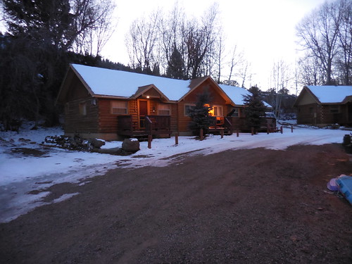
building architecture night colorado outdoor lodging motel us160 southforkcolorado riograndecountycolorado uteblufflodge
Ute Bluff Lodge in South Fork, Colorado
green indoor us160 southforkcolorado riograndecountycolorado uteblufflodge welcometothemountains
Ute Bluff Lodge in South Fork, Colorado
southforkcolorado uteblufflodge southfork colorado uteblufflodgecabins riograndecountycolorado us160 outdoor
Ute Bluff Lodge
view from hotel in Southfork, CO
Colorado view
colorado barns pagosasprings nikon7000
Old and Older
road mountain mountains nature forest landscape rockies highway colorado pass alpine cameron co rockymountains mountainpass cameronpass clff
Nearing the Peak of Cameron Pass
sky us colorado unitedstates nightsky riogrande southfork
Night over the Rio Grande
usa mountain art church nature train landscape colorado unitedstates artistic outdoor steeple idaho northamerica rockymountains oldtrain abandonedtrain southerncolorado southforkcolorado samsunggalaxynote4
Permanently Parked 25
panorama usa mountain art church nature train landscape colorado unitedstates artistic panoramic steeple idaho northamerica rockymountains oldtrain abandonedtrain southerncolorado southforkcolorado samsunggalaxynote4
Permanently Parked 24
railroad blue sky clouds landscape colorado track railway historic wikipedia traintrack watertank railfan hdr drg southfork railfanning nationalregisterofhistoricplaces photomatix drgw nrhp riograndecounty denverriogranderailroad 02001132 200806
Historic Railroad Water Tank
square squareformat iphoneography instagramapp uploaded:by=instagram
Well hello, Colorado!
square squareformat iphoneography instagramapp uploaded:by=instagram
Ski Day One
square squareformat iphoneography instagramapp uploaded:by=instagram
Ski Day Three
square squareformat iphoneography instagramapp uploaded:by=instagram
"Whoo," indeed.
red summer flower nature fauna flora colorado rubythroated stillshot humingbird southfork mygearandme mygearandmepremium mygearandmebronze mygearandmesilver
Hummingbird feeding on trumpet flower
mountain colorado mountains scenic delnorte landscape scenics clouds sanjuan sanjuanmountaons
Mountains near Del Norte-1336
water us colorado unitedstates hdr riogrande southfork
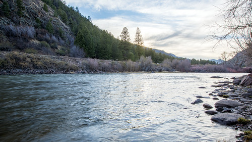
Rio Grande
water us colorado unitedstates riogrande southfork
Rio Grande
baxterville colorado geo:lat=3772518260 geo:lon=10670672757 geotagged southfork unitedstates usa
Rio Grande
county usa west rio del america geotagged centennial grande us colorado unitedstates state united north american western co northamerica states floyd muaddib americanwest delnorte norte southwestern westernusa riograndecounty delnortecolorado southwesterncolorado centennialstate westernamerica delnorteco southwesternco floydmuaddib
Rio Grande: West of Del Norte, Colorado (CO)
mountains cabin colorado
Mountain cabin
colorado
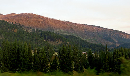
Dead Spruces Below Wolf Creek Pass
Beaver Creek Reservoir
mountains cabin colorado
Mountain cabin