Elevation of River Bluff Rd, Dungannon, VA, USA
Location: United States > Virginia > Scott County > Dungannon >
Longitude: -82.4866896
Latitude: 36.8033013
Elevation: -10000m / -32808feet
Barometric Pressure: 0KPa
Related Photos:

: : My Virginia : : Mew View

Bear Rock Overlook

Up Close and Personal

Sunset view

Kilgore Fort House

View from Cliff above the Clinch

Upper Little Stony Falls

Starnes Overlook

Devils Bathtub Lower Pool

Devils Bathtub

A few of 2014 iPhone pix
2017-11-18 1311 CRR 800 on P902-18 Fort Blackmore, VA

Devils Bathtub

Devils Bathtub

Devils Bathtub

Little Stoney Creek Falls 1001

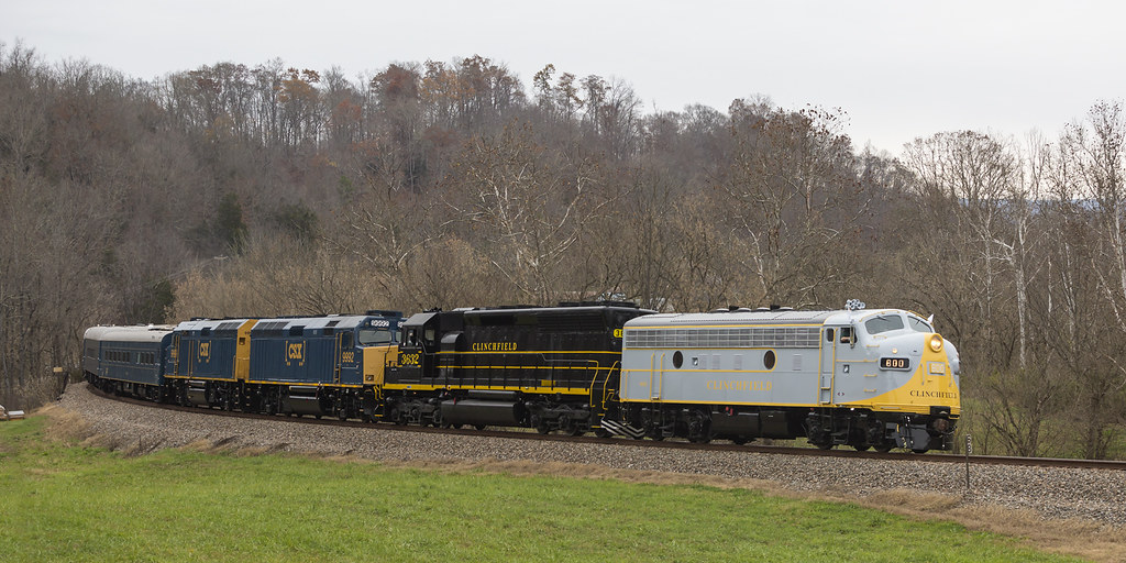
Clinchfield Country

Kilgore Fort House (1 of 1)-2
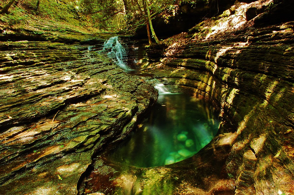
Devils Bathtub

02839c Little Stoney Falls

CRR 800 in Motion

Little Stone Creek Falls 1004

Mcconnell, VA

Copper Ridge Road

Green Pastures
Topographic Map of River Bluff Rd, Dungannon, VA, USA
Find elevation by address:

Places near River Bluff Rd, Dungannon, VA, USA:
Veterans Memorial Highway
Grays Ford
937 Luray Rd
Dungannon
Twin Springs High School
Titan Ln, Nickelsville, VA, USA
Wood
Staunton Creek Lane
Hunters Valley East Road
Hunters Valley East Road
Hunters Valley East Road
Hunters Valley East Road
Falls Creek Road
Inthepines Circle
1186 Mcclellan Town Ln
185 Cathedral Dr
Long Hollow Road
Nickelsville
Taffy Lane
Dean Hollow Road
Recent Searches:
- Elevation of 10370, West 107th Circle, Westminster, Jefferson County, Colorado, 80021, USA
- Elevation of 611, Roman Road, Old Ford, Bow, London, England, E3 2RW, United Kingdom
- Elevation of 116, Beartown Road, Underhill, Chittenden County, Vermont, 05489, USA
- Elevation of Window Rock, Colfax County, New Mexico, 87714, USA
- Elevation of 4807, Rosecroft Street, Kempsville Gardens, Virginia Beach, Virginia, 23464, USA
- Elevation map of Matawinie, Quebec, Canada
- Elevation of Sainte-Émélie-de-l'Énergie, Matawinie, Quebec, Canada
- Elevation of Rue du Pont, Sainte-Émélie-de-l'Énergie, Matawinie, Quebec, J0K2K0, Canada
- Elevation of 8, Rue de Bécancour, Blainville, Thérèse-De Blainville, Quebec, J7B1N2, Canada
- Elevation of Wilmot Court North, 163, University Avenue West, Northdale, Waterloo, Region of Waterloo, Ontario, N2L6B6, Canada
- Elevation map of Panamá Province, Panama
- Elevation of Balboa, Panamá Province, Panama
- Elevation of San Miguel, Balboa, Panamá Province, Panama
- Elevation of Isla Gibraleón, San Miguel, Balboa, Panamá Province, Panama
- Elevation of 4655, Krischke Road, Schulenburg, Fayette County, Texas, 78956, USA
- Elevation of Carnegie Avenue, Downtown Cleveland, Cleveland, Cuyahoga County, Ohio, 44115, USA
- Elevation of Walhonding, Coshocton County, Ohio, USA
- Elevation of Clifton Down, Clifton, Bristol, City of Bristol, England, BS8 3HU, United Kingdom
- Elevation map of Auvergne-Rhône-Alpes, France
- Elevation map of Upper Savoy, Auvergne-Rhône-Alpes, France