Elevation of Luray Rd, Nickelsville, VA, USA
Location: United States > Virginia > Scott County > > Nickelsville >
Longitude: -82.491221
Latitude: 36.7823519
Elevation: 638m / 2093feet
Barometric Pressure: 94KPa
Elevation Map:
Satellite Map:
Related Photos:

Stoney Creek Bridge

The Devil's Fork IV

The Devil's Fork III

Kilgore Fort House

: : My Virginia : : Mew View

Salyers House
: : My Virginia : : Sycamores By the River

Bear Rock Overlook

Up Close and Personal

Spring Deer

: : My Virginia : : Grazing in the Grass

Sunset view

View from Cliff above the Clinch

View from Cliff above the Clinch

Starnes Overlook

Devils Bathtub

EX PRR MP54 sitting untouched in my Hometown of Hiltons, VA

NS 744 on the Clinchfield

Copper Ridge Road
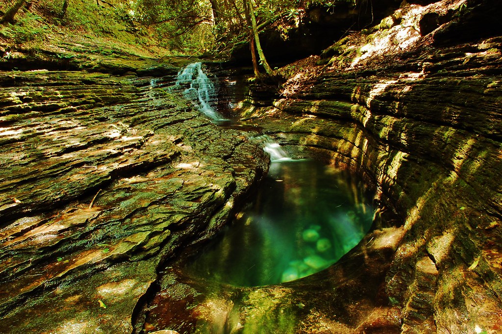
Devils Bathtub

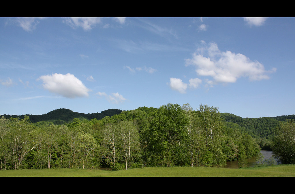
Southwest Virginia Landscape (Scott County, Virginia)

Little Stoney Falls

Turn Off the Paved Road

CRR 800 in Motion

Upper Little Stony Falls

Little Stoney Falls

Little Stoney Falls

CSX @ Fort Blackmore, KY.

Moccasin Gap

CSX Q692-17 North on the CRR by the Keyhole.
Topographic Map of Luray Rd, Nickelsville, VA, USA
Find elevation by address:

Places near Luray Rd, Nickelsville, VA, USA:
7612 River Bluff Rd
Twin Springs High School
Titan Ln, Nickelsville, VA, USA
Grays Ford
Veterans Memorial Highway
1186 Mcclellan Town Ln
Wood
Dungannon
Staunton Creek Lane
Hunters Valley East Road
Hunters Valley East Road
Hunters Valley East Road
Hunters Valley East Road
Falls Creek Road
Inthepines Circle
Nickelsville
Dean Hollow Road
Long Hollow Road
Fort Blackmore
185 Cathedral Dr
Recent Searches:
- Elevation of Corso Fratelli Cairoli, 35, Macerata MC, Italy
- Elevation of Tallevast Rd, Sarasota, FL, USA
- Elevation of 4th St E, Sonoma, CA, USA
- Elevation of Black Hollow Rd, Pennsdale, PA, USA
- Elevation of Oakland Ave, Williamsport, PA, USA
- Elevation of Pedrógão Grande, Portugal
- Elevation of Klee Dr, Martinsburg, WV, USA
- Elevation of Via Roma, Pieranica CR, Italy
- Elevation of Tavkvetili Mountain, Georgia
- Elevation of Hartfords Bluff Cir, Mt Pleasant, SC, USA