Elevation of Fort Blackmore, VA, USA
Location: United States > Virginia > Scott County > >
Longitude: -82.586822
Latitude: 36.7745431
Elevation: 403m / 1322feet
Barometric Pressure: 97KPa
Elevation Map:
Satellite Map:
Related Photos:
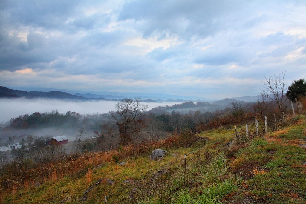
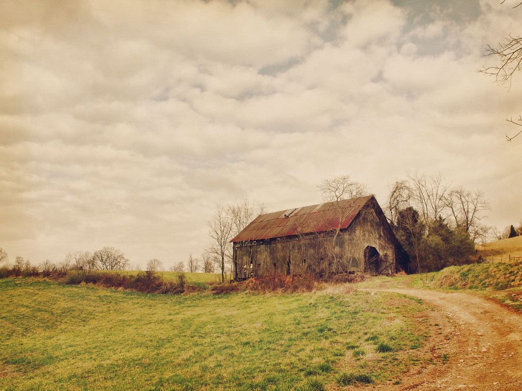
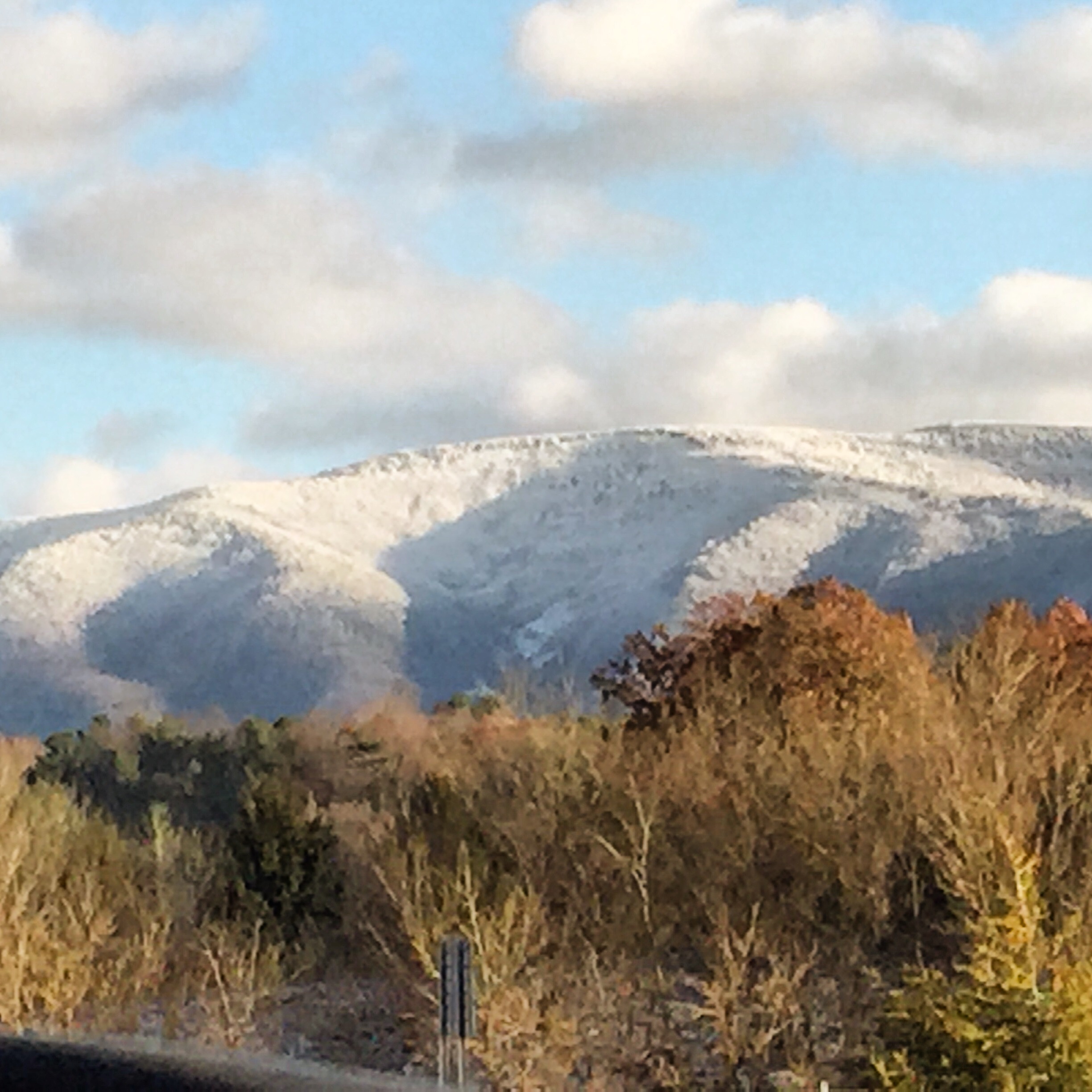
Clinch Valley

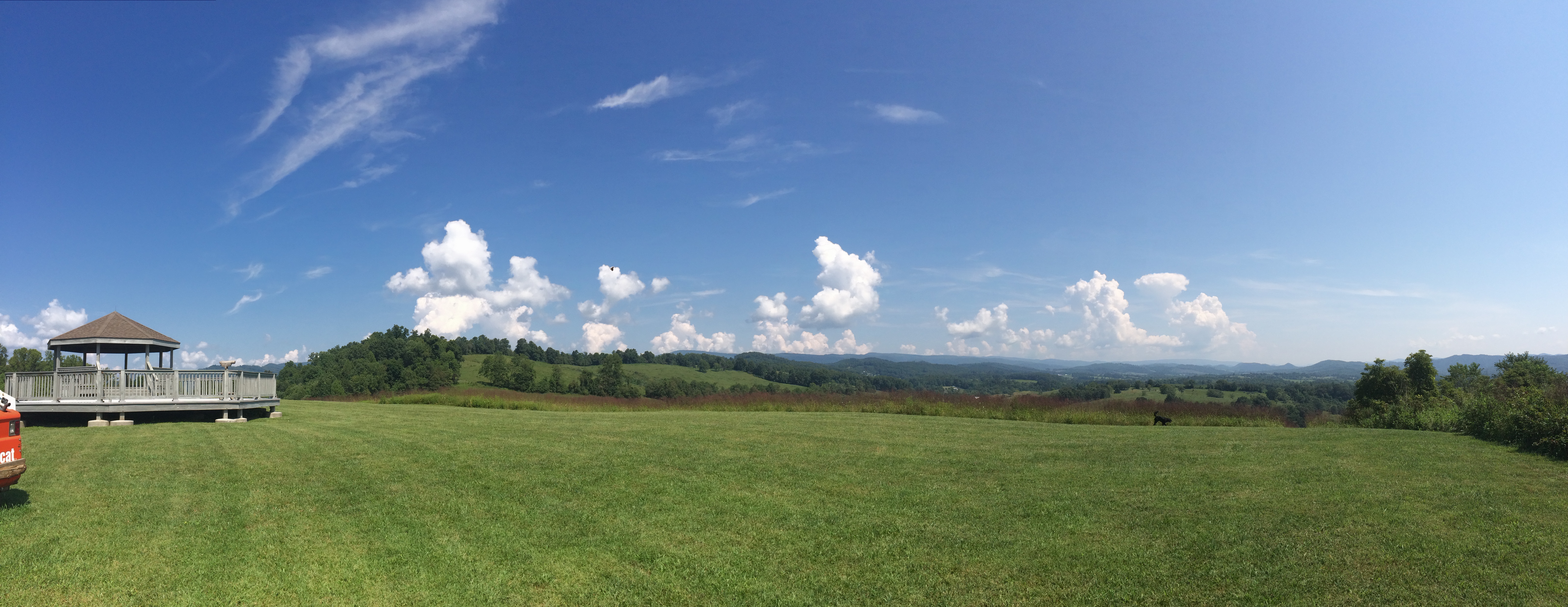
: : My Virginia : : I Can See For Miles
The Door's Open - Come On In
: : My Virginia : : Sycamores By the River

: : My Virginia : : Grazing in the Grass

Leaf on Table
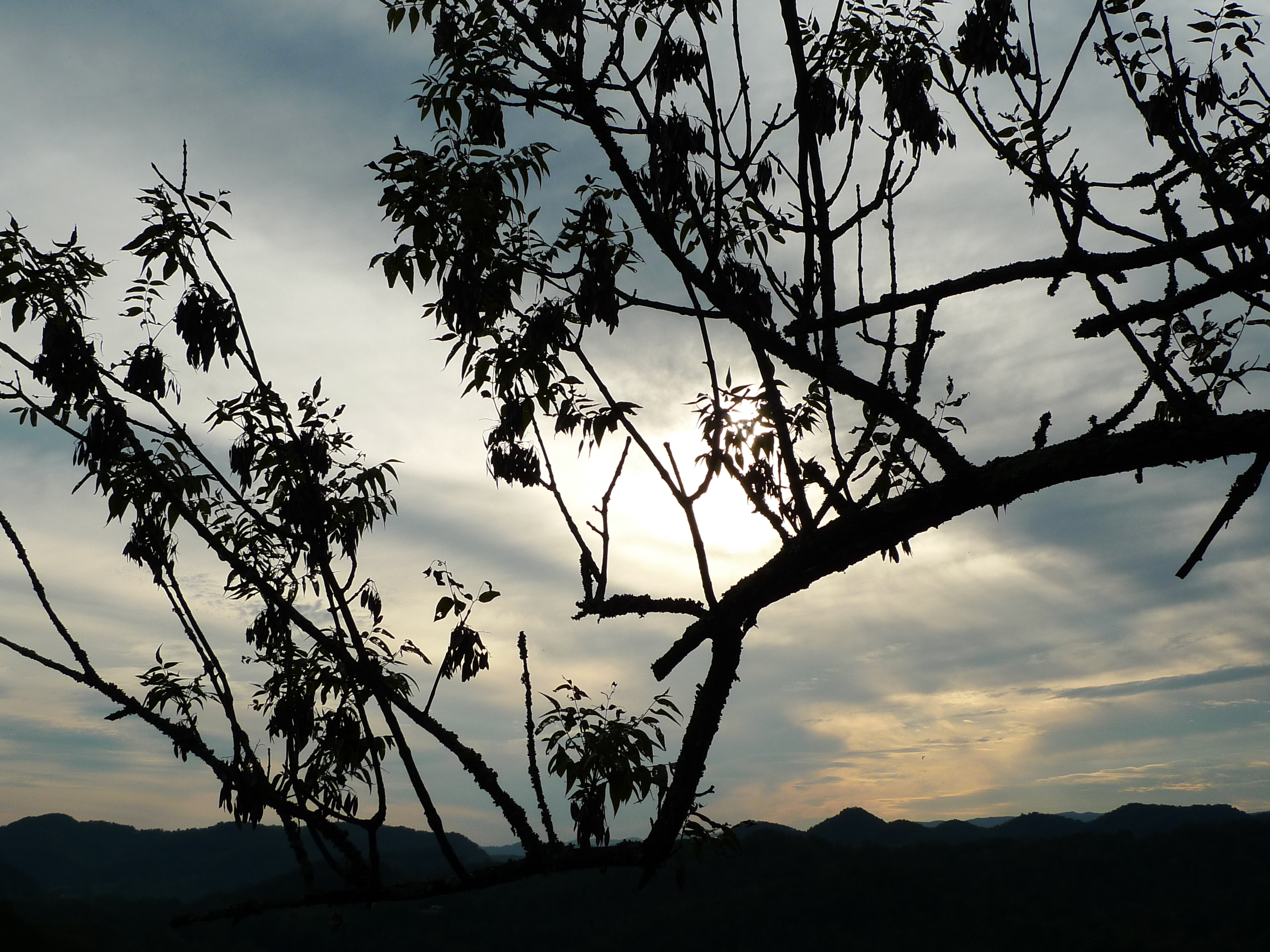
Sunset view
Rivermont Missionary Baptist Church

Looking Glass
Marceum's Quarry, Virginia
Up Close and Personal
Stock Creek Interp
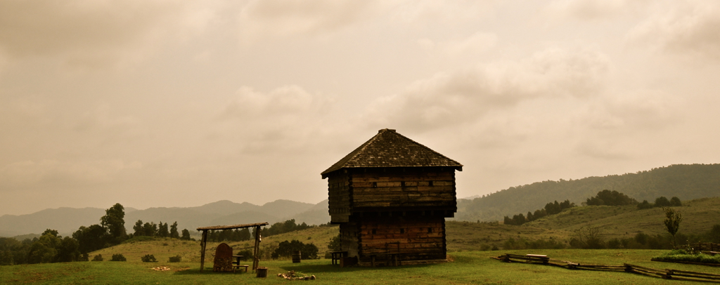
Blockhouse View
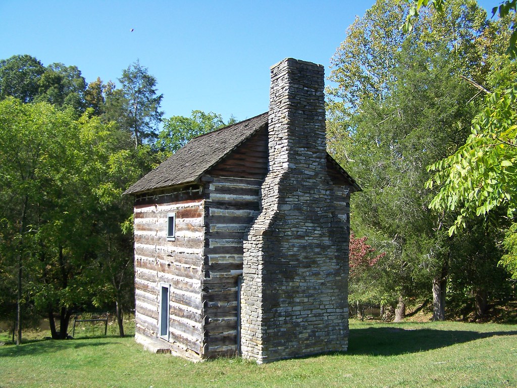
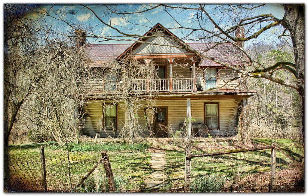
Kilgore Fort House
Wise/Norton 2012
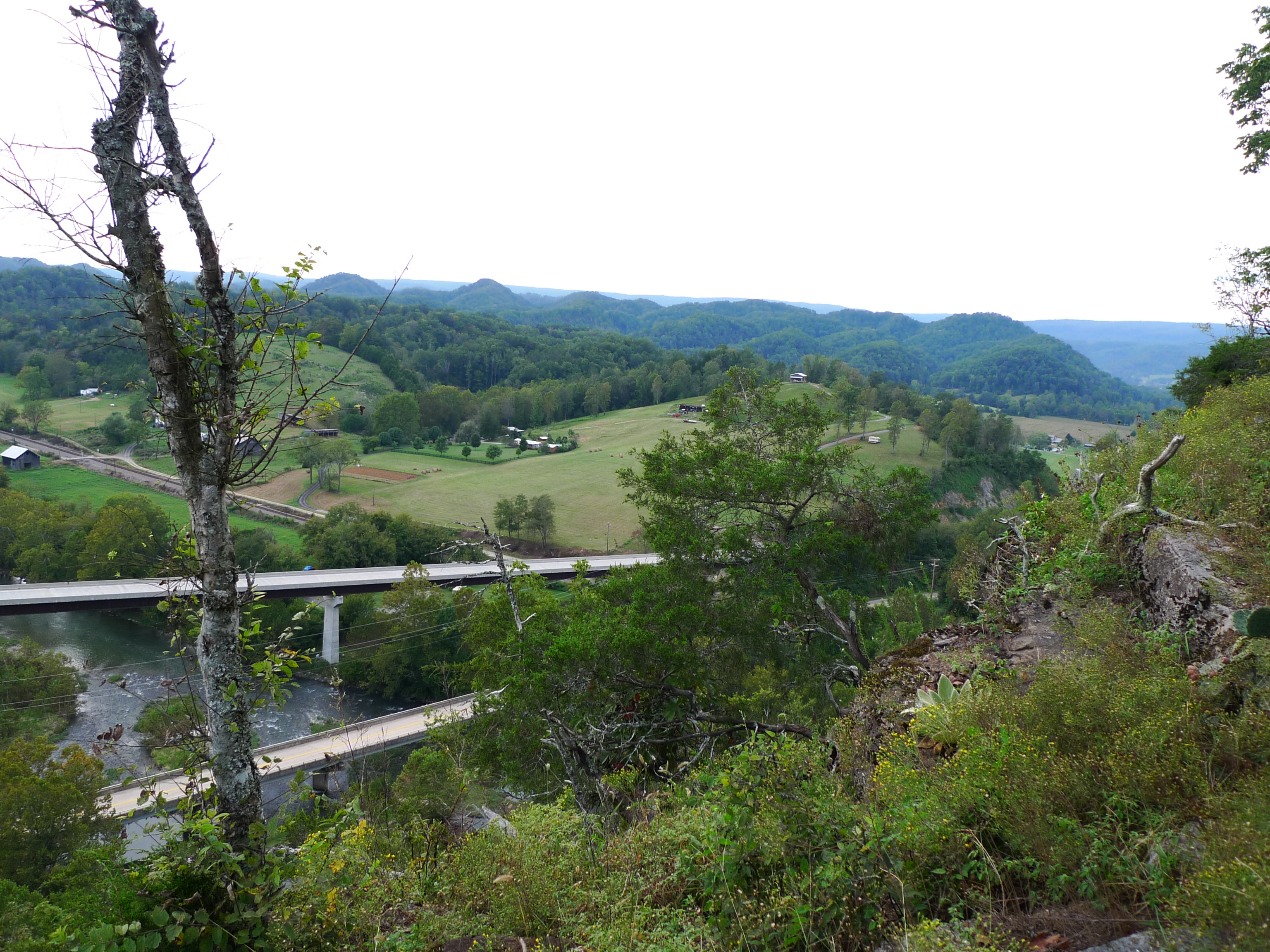
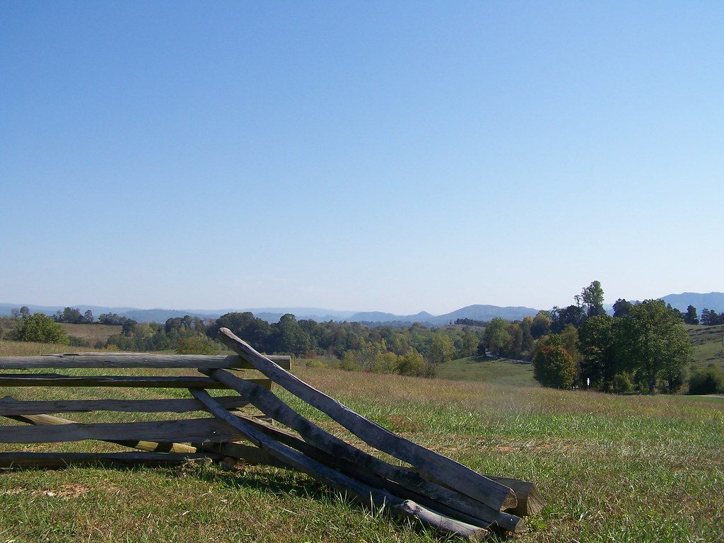
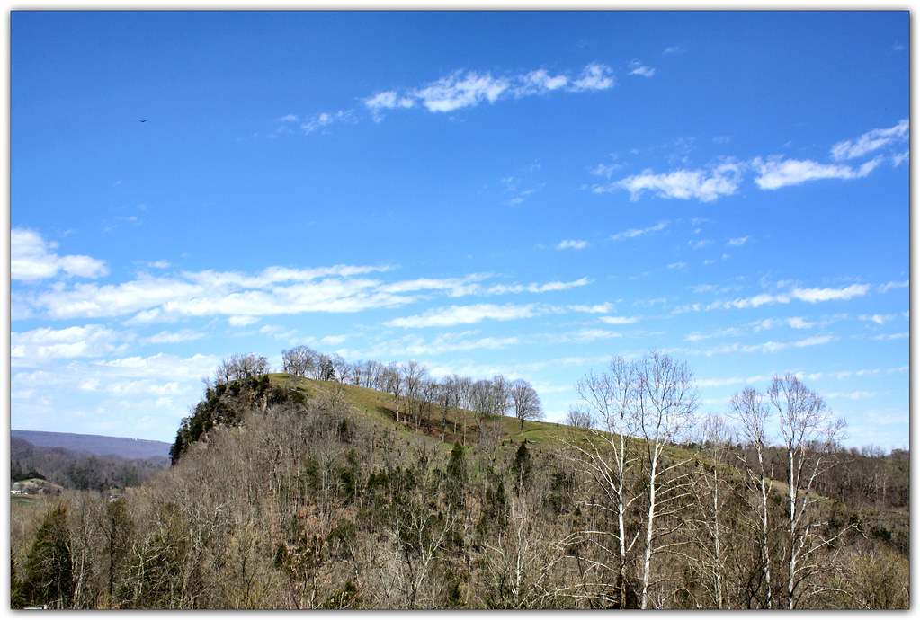
View from Cliff above the Clinch

Blockhouse View
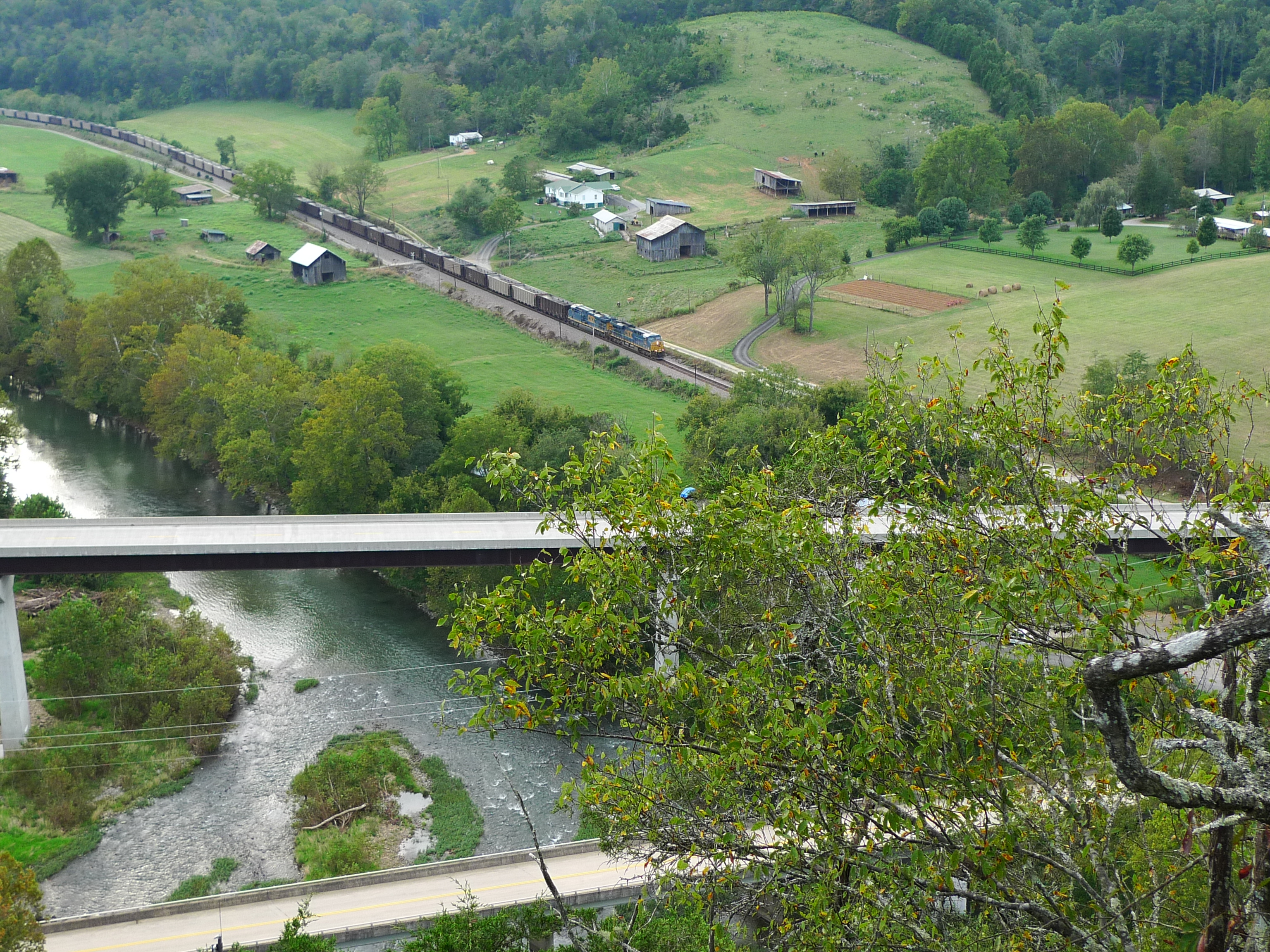
View from Cliff above the Clinch
Natrual Tunnel Summer fun
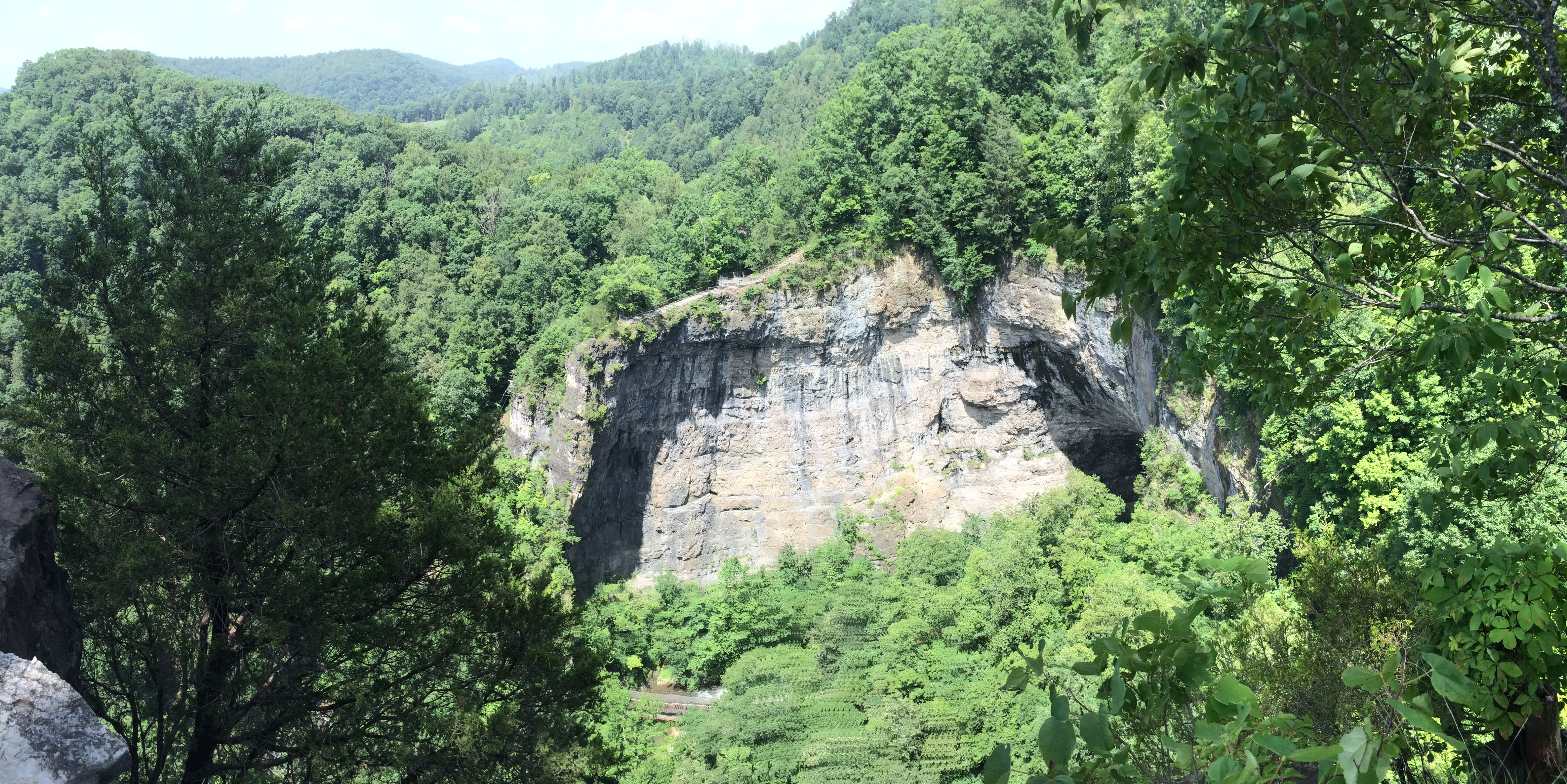
View from Lovers Leap
Natural Tunnel State Park Hayride
Turn Off the Paved Road
Upper Little Stony Falls

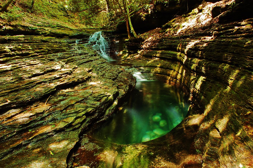
Devils Bathtub Lower Pool

Moccasin Gap
Clinch River Bluff

Copper Creek HDR
The edge of civilization
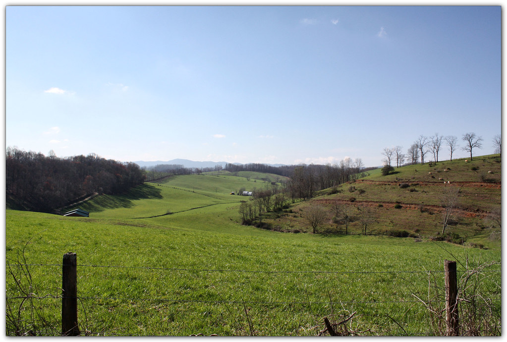
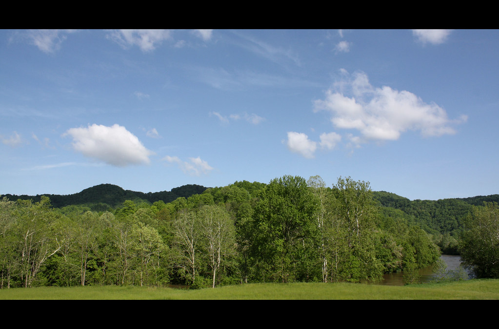
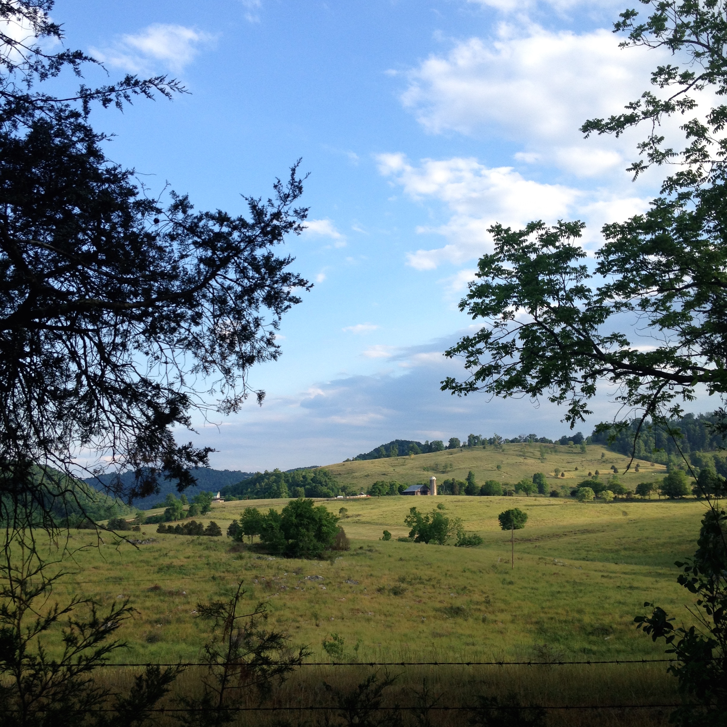
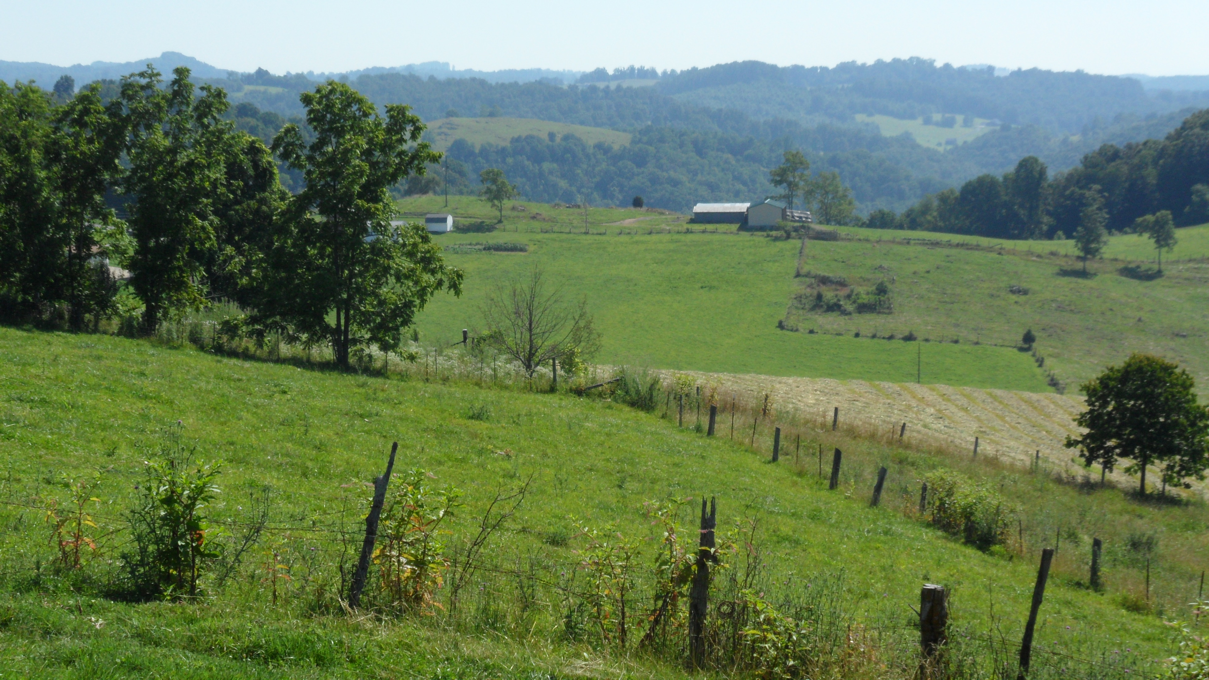
Green Pastures
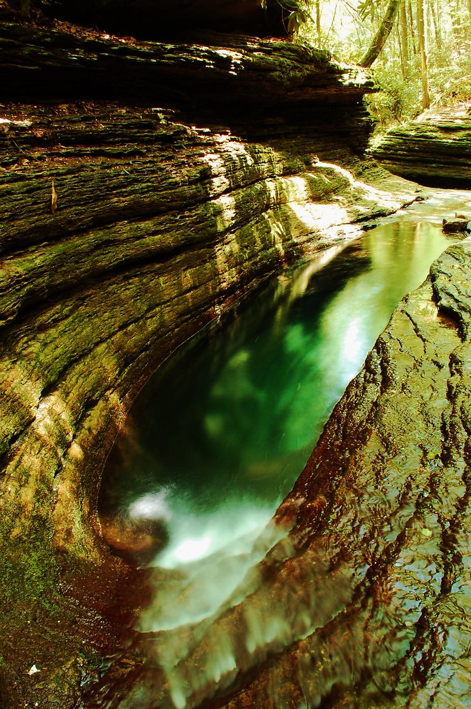
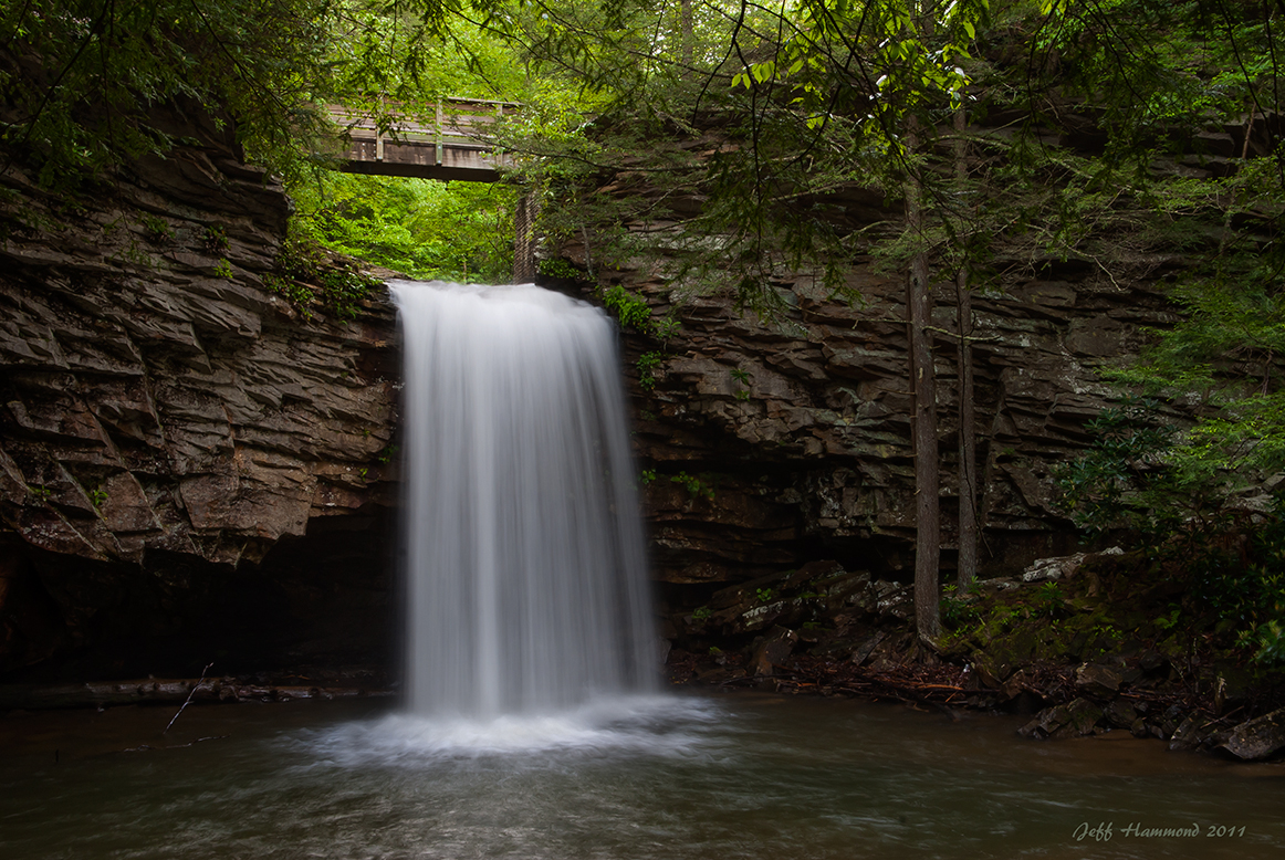
Devils Bathtub
Cove Creek
Devils Bathtub

Bridge 248-10
Mcconnell, VA
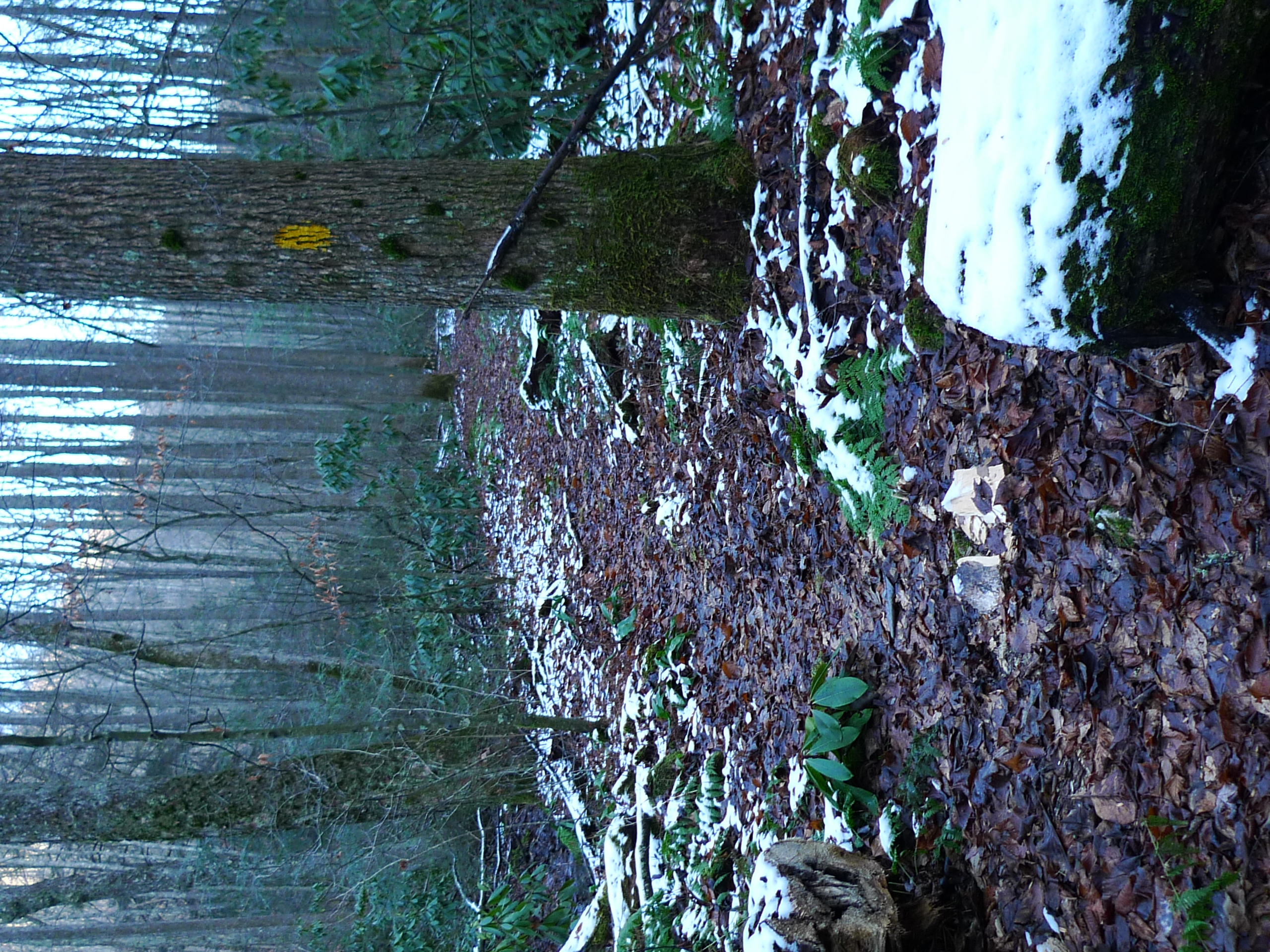
Chief Benges Scout Trail
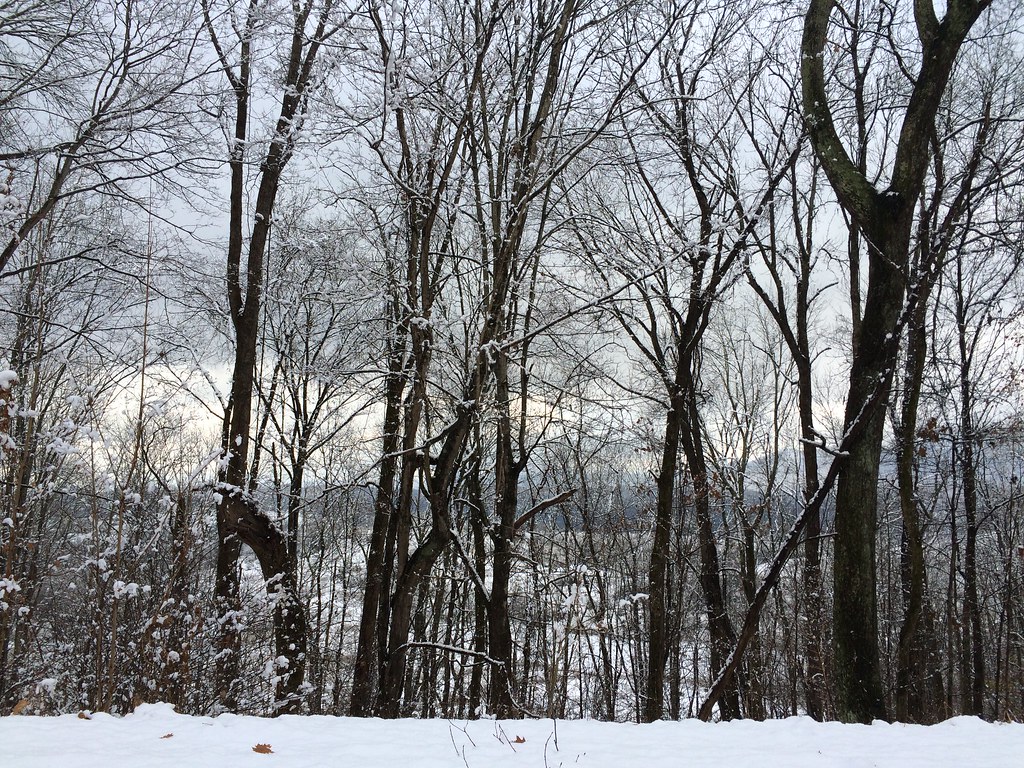
A few of 2014 iPhone pix
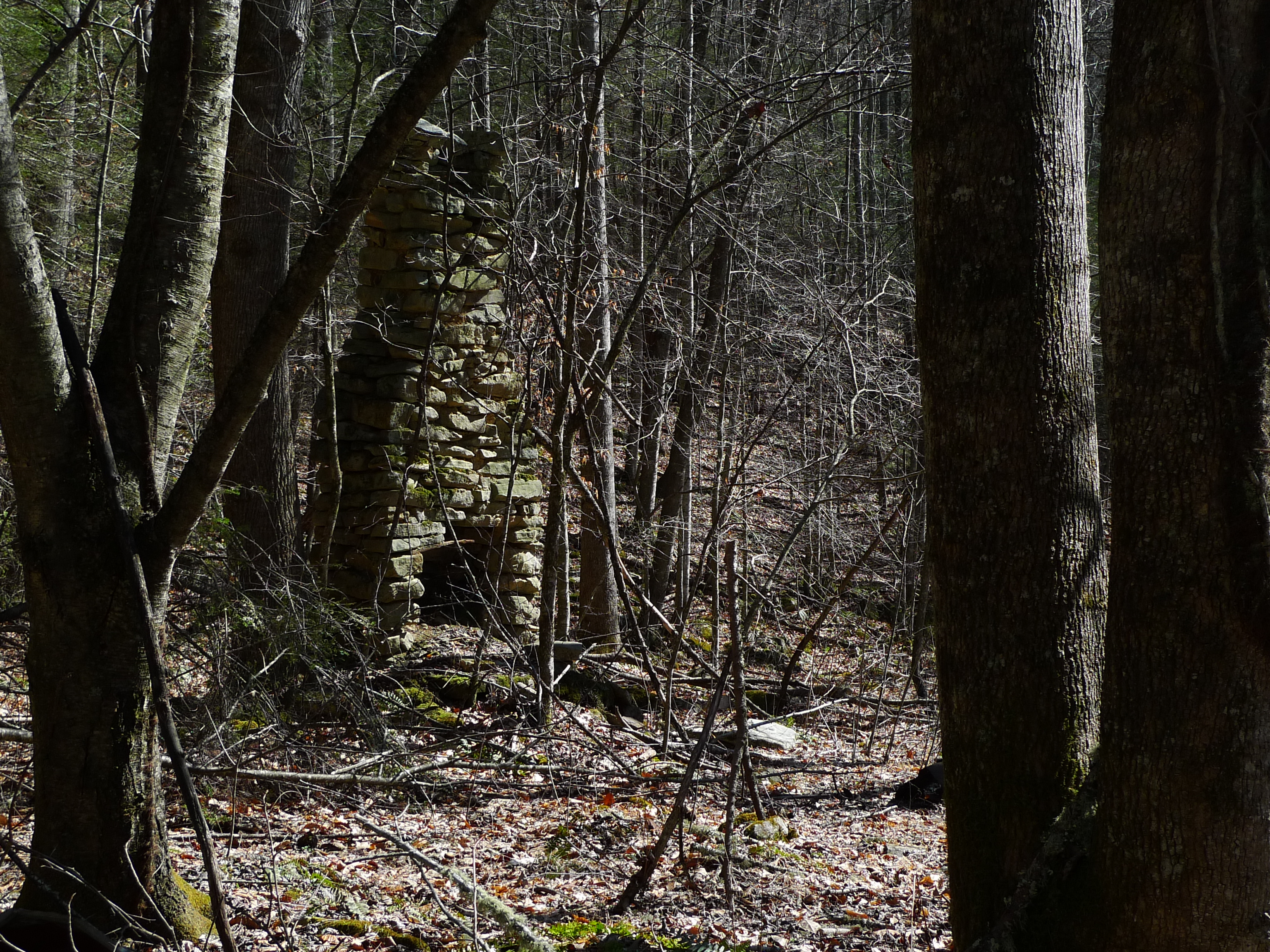
Old Rock Chimney
IMG_0076.JPG
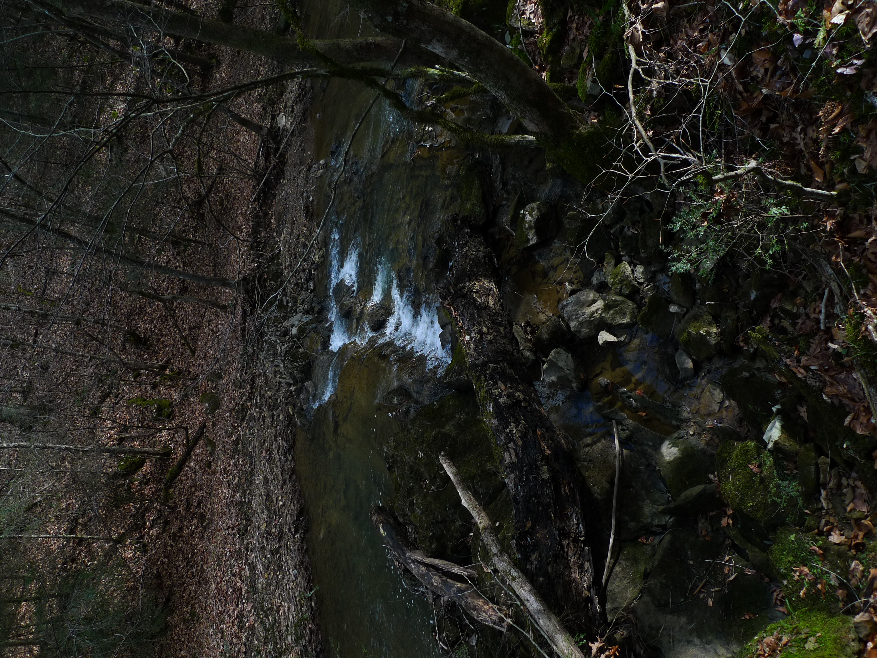
Staunton Creek
Topographic Map of Fort Blackmore, VA, USA
Find elevation by address:

Places in Fort Blackmore, VA, USA:
Places near Fort Blackmore, VA, USA:
7444 Hunters Valley East Rd
Wood
Staunton Creek Lane
Hunters Valley East Road
Hunters Valley East Road
Hunters Valley East Road
Hunters Valley East Road
1186 Mcclellan Town Ln
Coalpit Branch Drive
Grays Ford
937 Luray Rd
Veterans Memorial Highway
7612 River Bluff Rd
Twin Springs High School
Titan Ln, Nickelsville, VA, USA
Dungannon
10591 Pine Camp Rd
Falls Creek Road
Taffy Lane
Inthepines Circle
Recent Searches:
- Elevation of Corso Fratelli Cairoli, 35, Macerata MC, Italy
- Elevation of Tallevast Rd, Sarasota, FL, USA
- Elevation of 4th St E, Sonoma, CA, USA
- Elevation of Black Hollow Rd, Pennsdale, PA, USA
- Elevation of Oakland Ave, Williamsport, PA, USA
- Elevation of Pedrógão Grande, Portugal
- Elevation of Klee Dr, Martinsburg, WV, USA
- Elevation of Via Roma, Pieranica CR, Italy
- Elevation of Tavkvetili Mountain, Georgia
- Elevation of Hartfords Bluff Cir, Mt Pleasant, SC, USA