Elevation of Falls Creek Road, Falls Creek Rd, Dungannon, VA, USA
Location: United States > Virginia > Scott County > Dungannon >
Longitude: -82.4304827
Latitude: 36.802541
Elevation: 645m / 2116feet
Barometric Pressure: 0KPa
Related Photos:
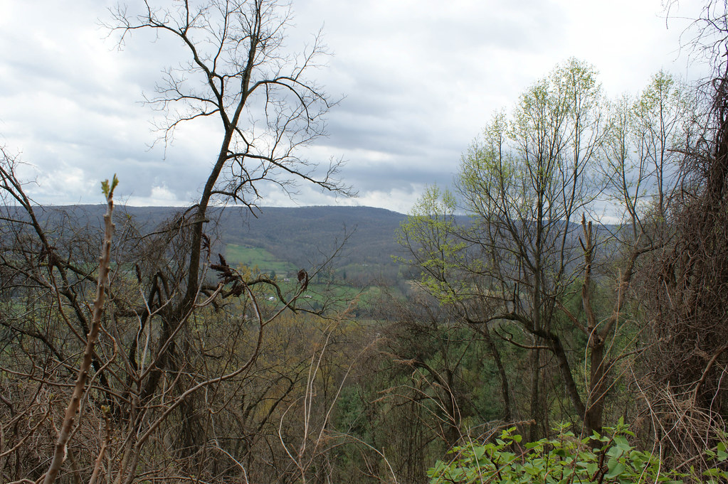
Wise County, Virginia Views
Wise County, Virginia Views
Wise County, Virginia Views
Wise County, Virginia Views
Wise County, Virginia Views
Wise County, Virginia Views
Wise County, Virginia Views
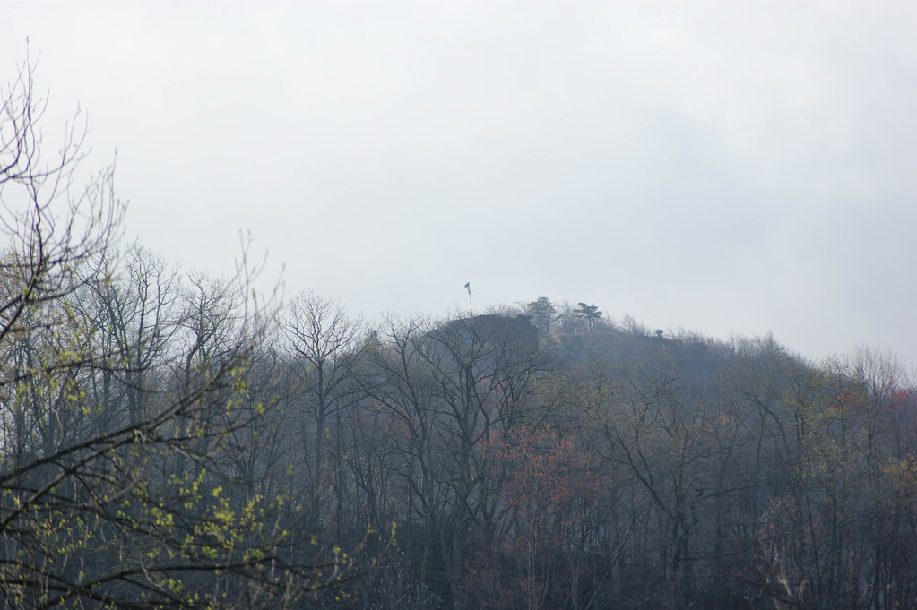
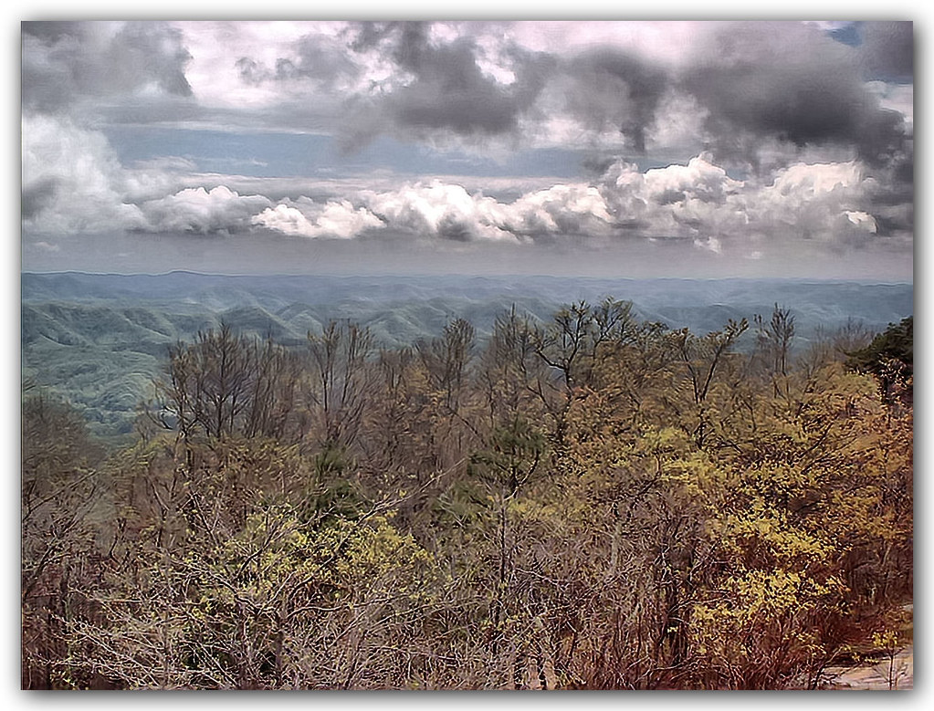
Mountain View
: : My Virginia : : Mew View
Mountain View
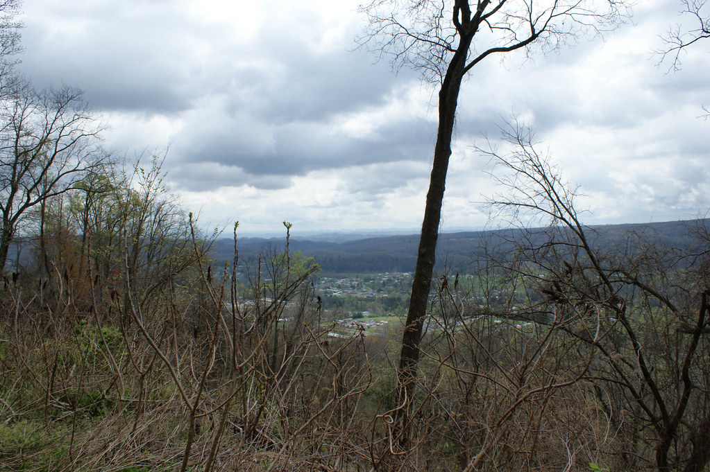
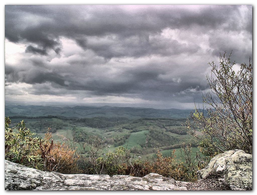
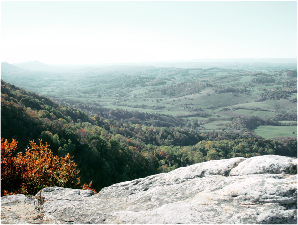
View from the Clouds
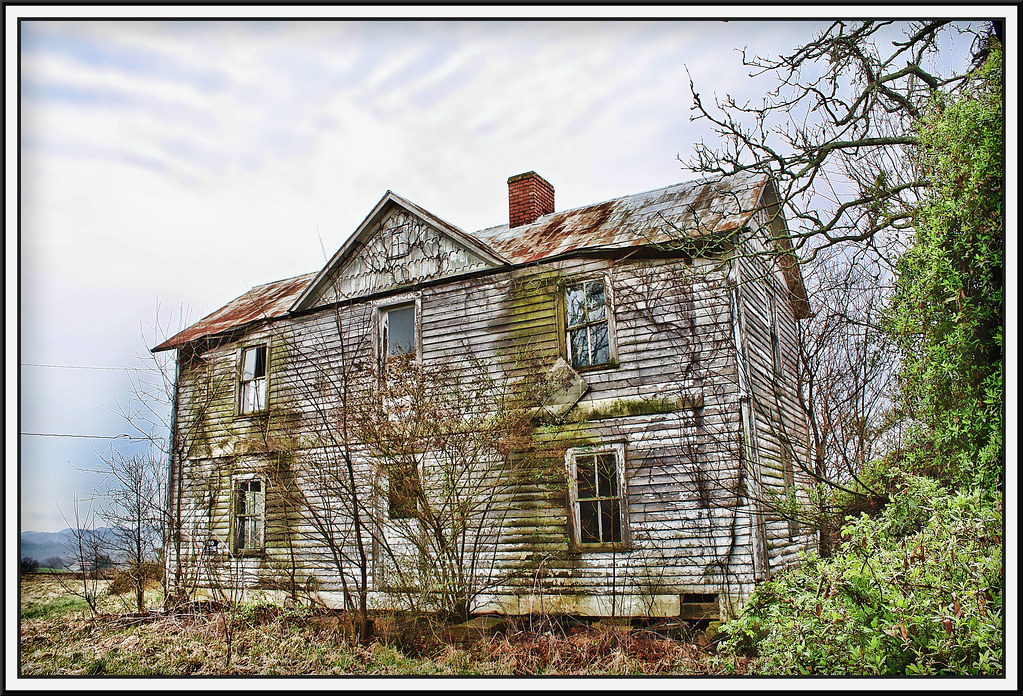
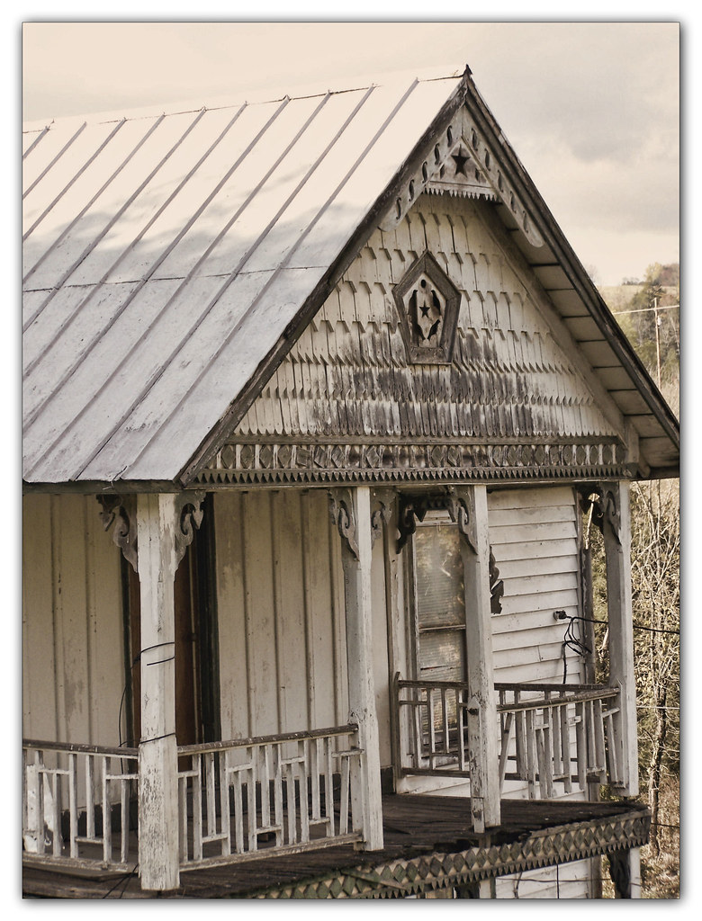
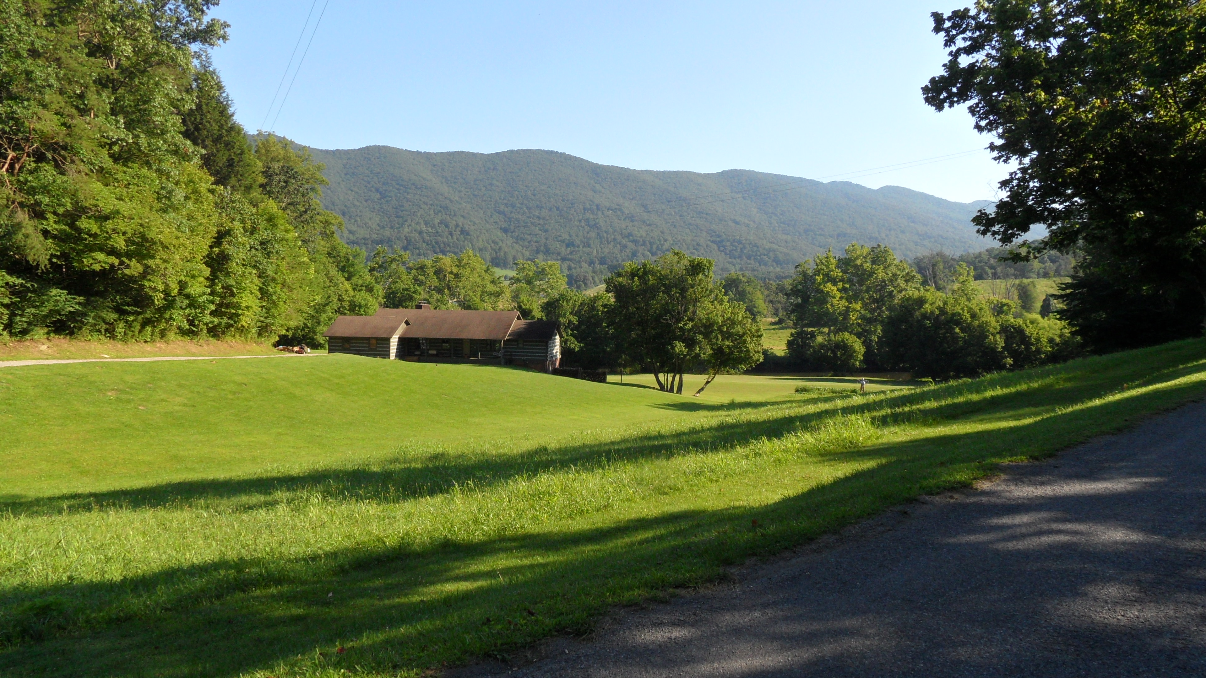
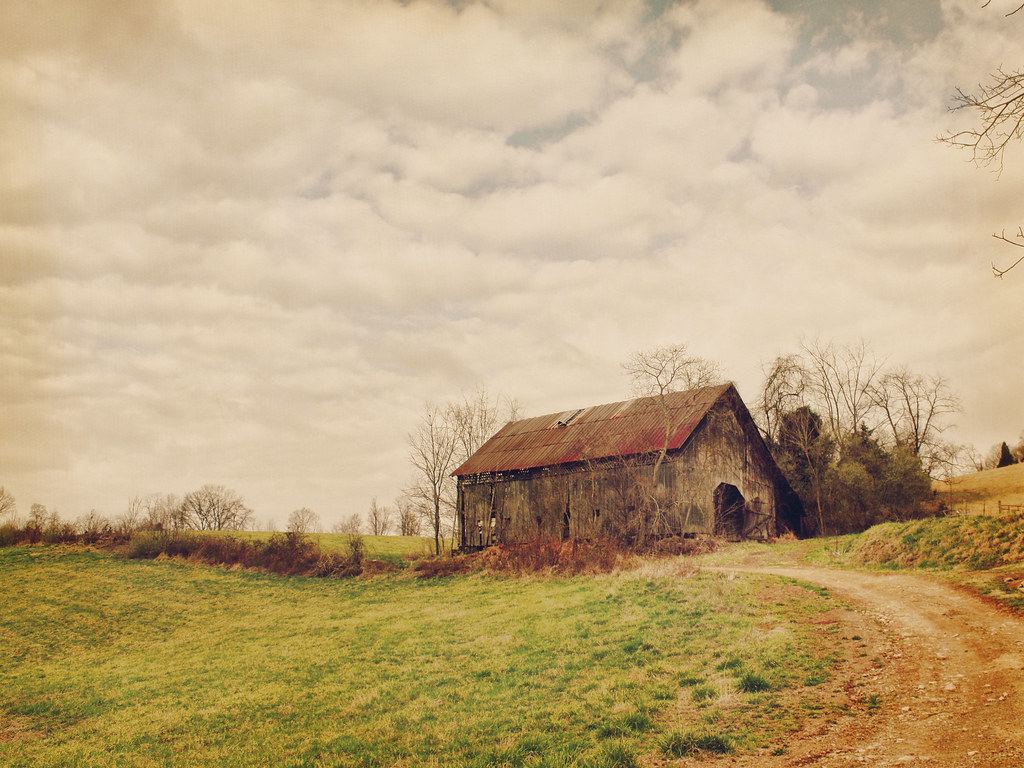
Salyers House
Up Close and Personal

: : My Virginia : : Grazing in the Grass

Wise County, Virginia Views
medota, virginia

Sunset view
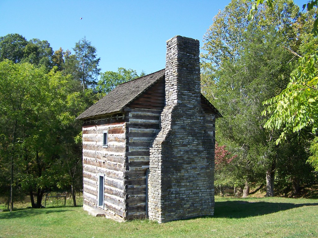
Kilgore Fort House
Wise County, Virginia Views
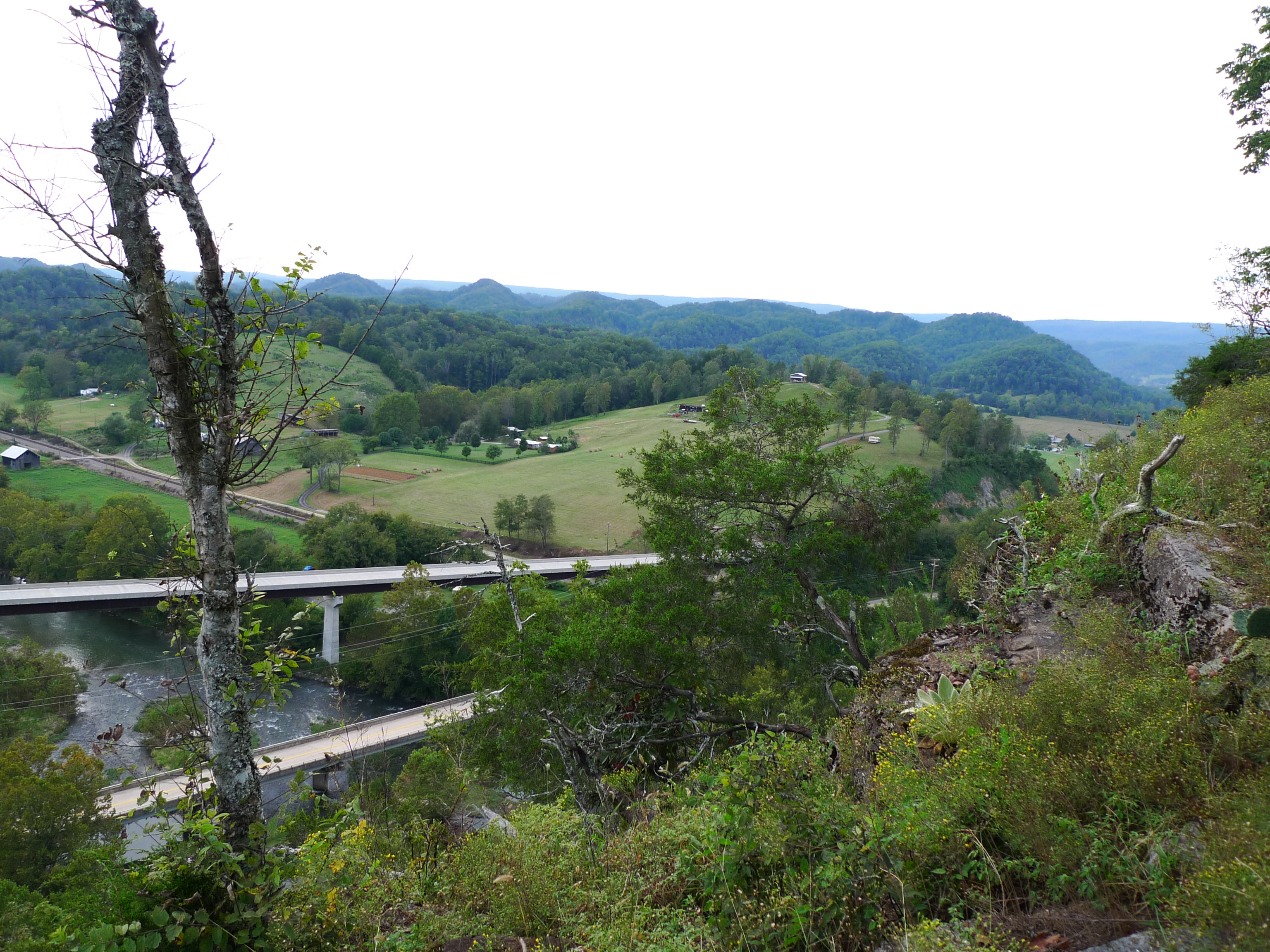
View from Cliff above the Clinch
View from Cliff above the Clinch
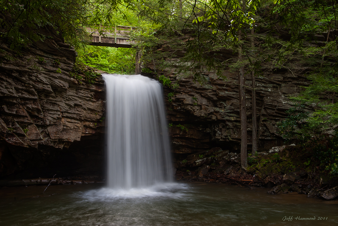
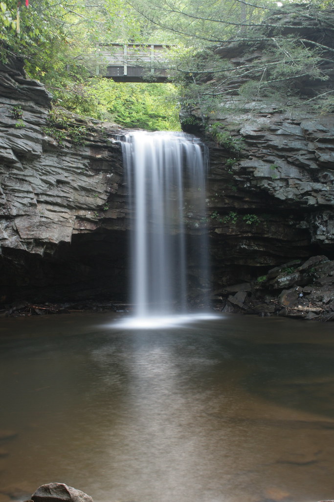
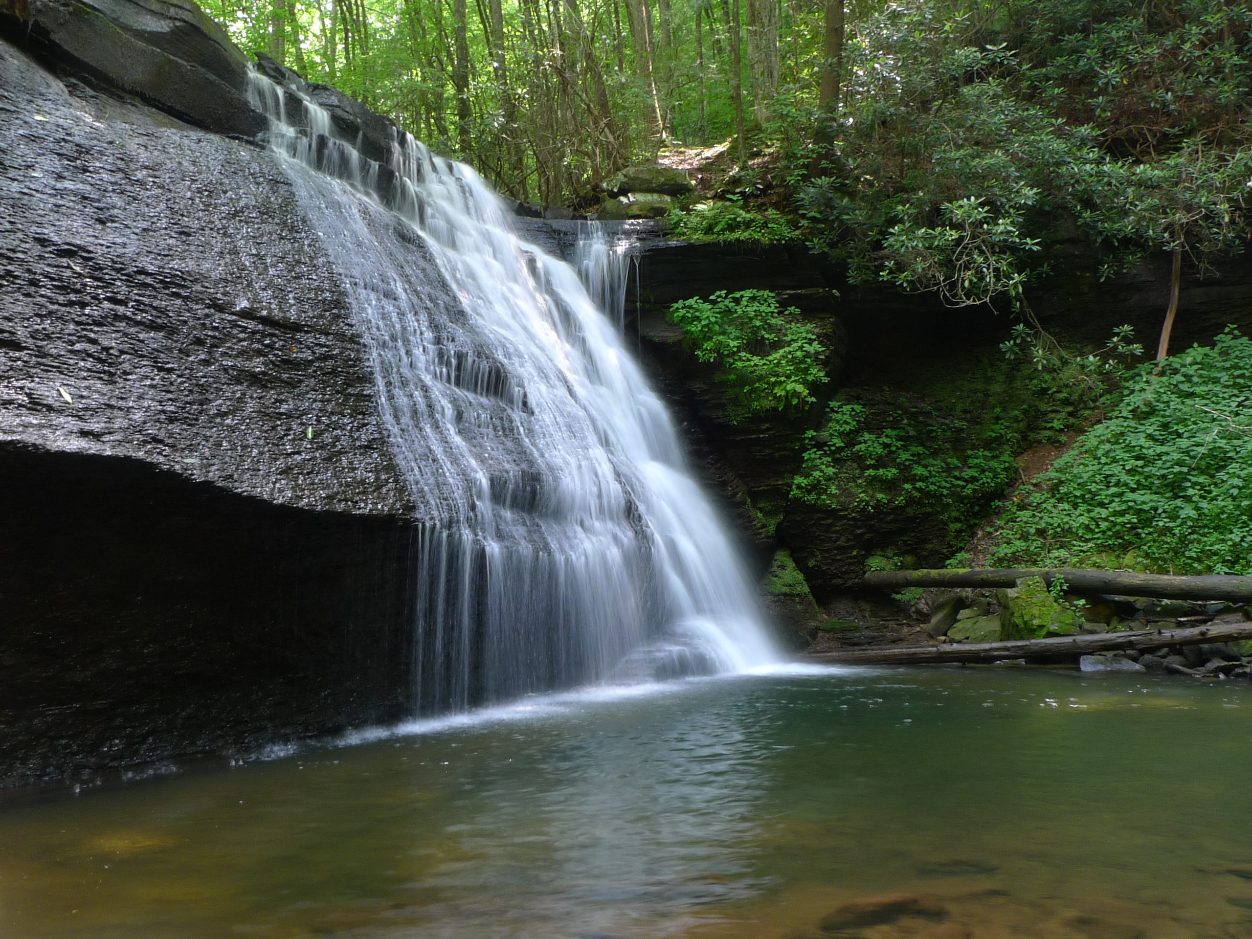
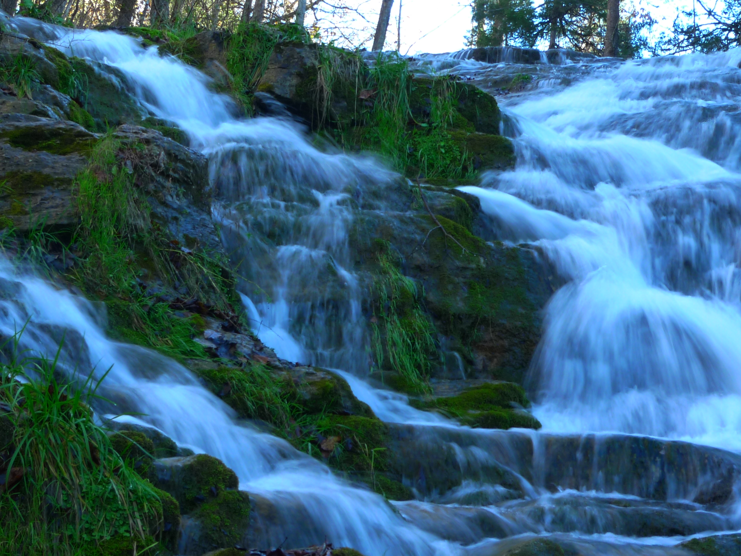
Upper Little Stony Falls
615 to Carter Fold
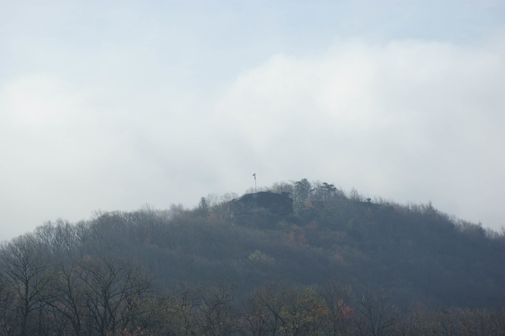
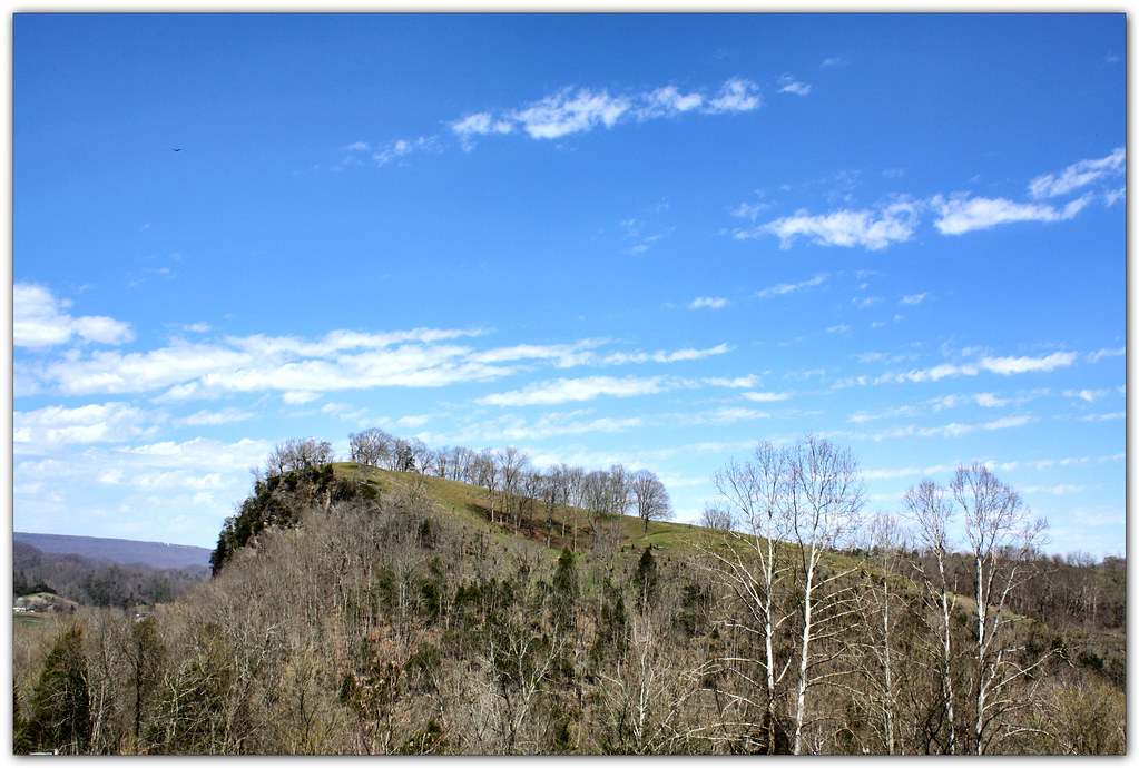
Big Bluff
Turn Off the Paved Road
Little Stone Creek Falls 1004
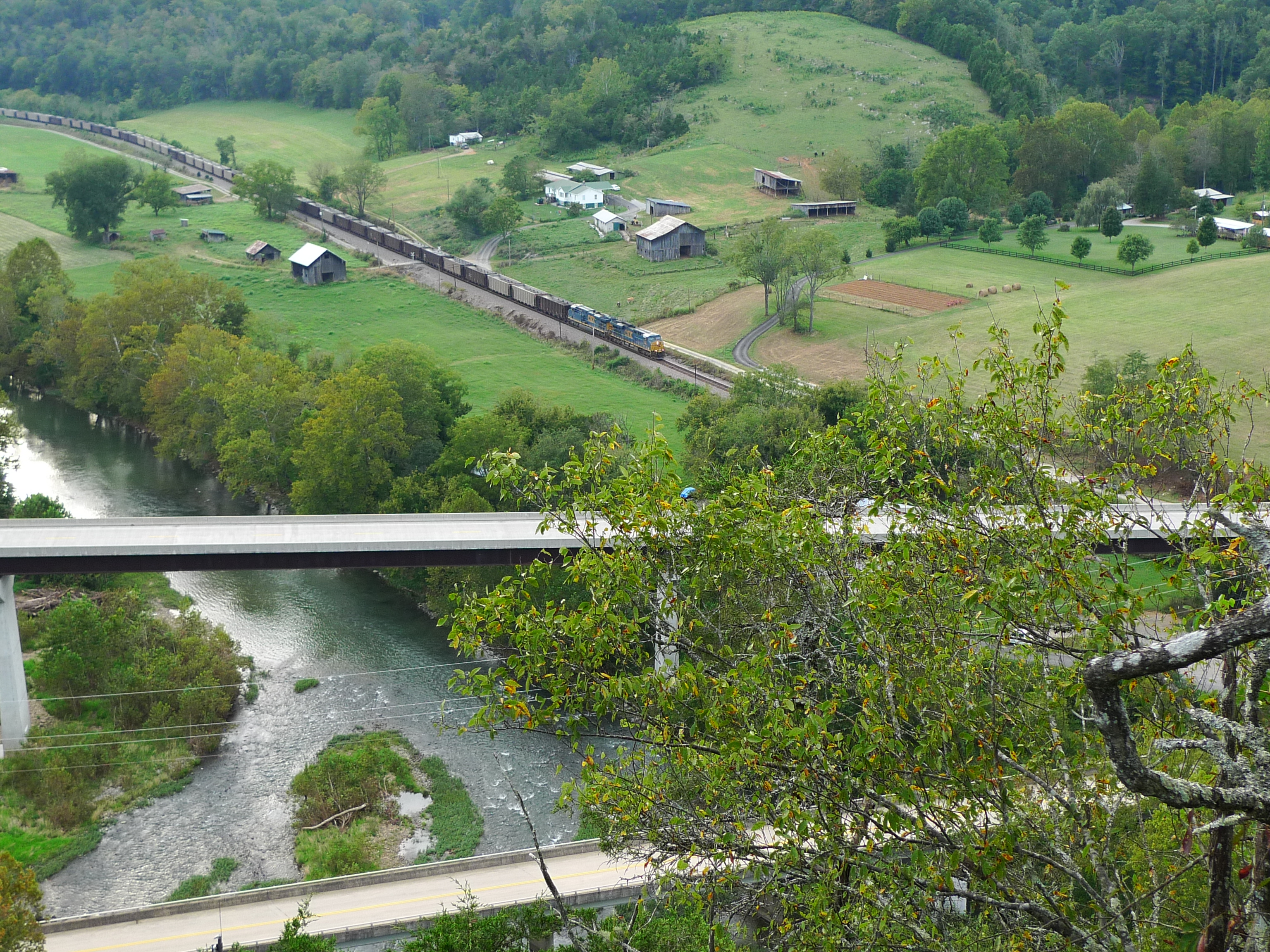
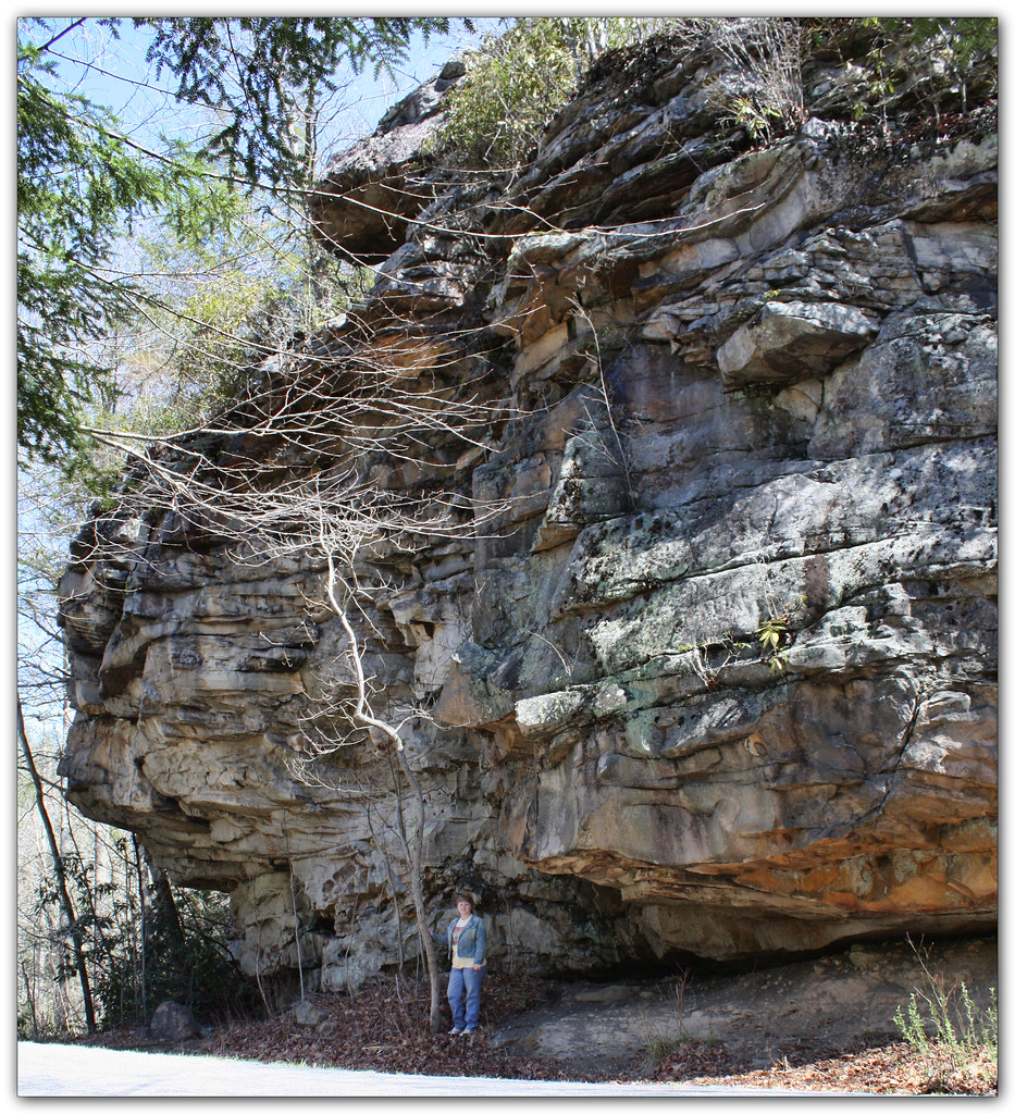
Clinch River Bluff

Copper Ridge Road
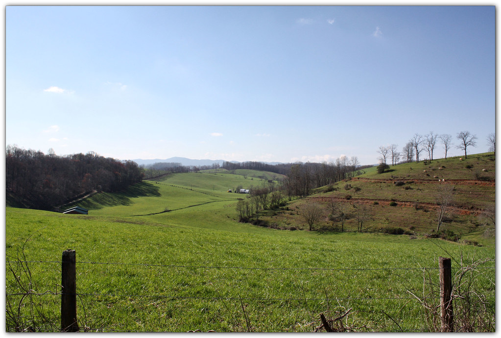
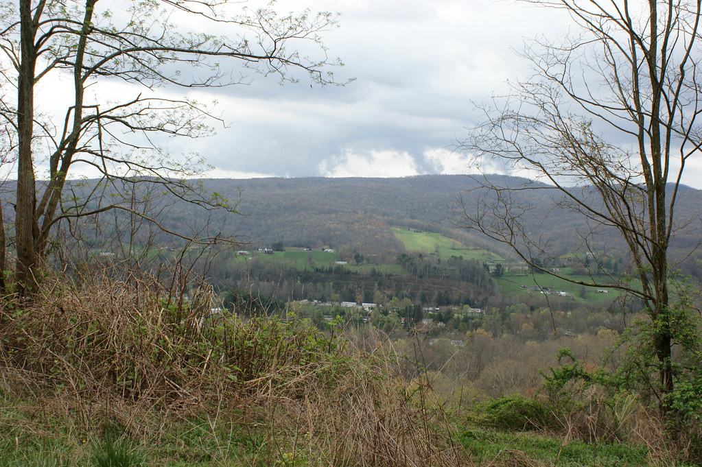
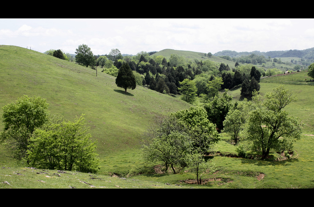
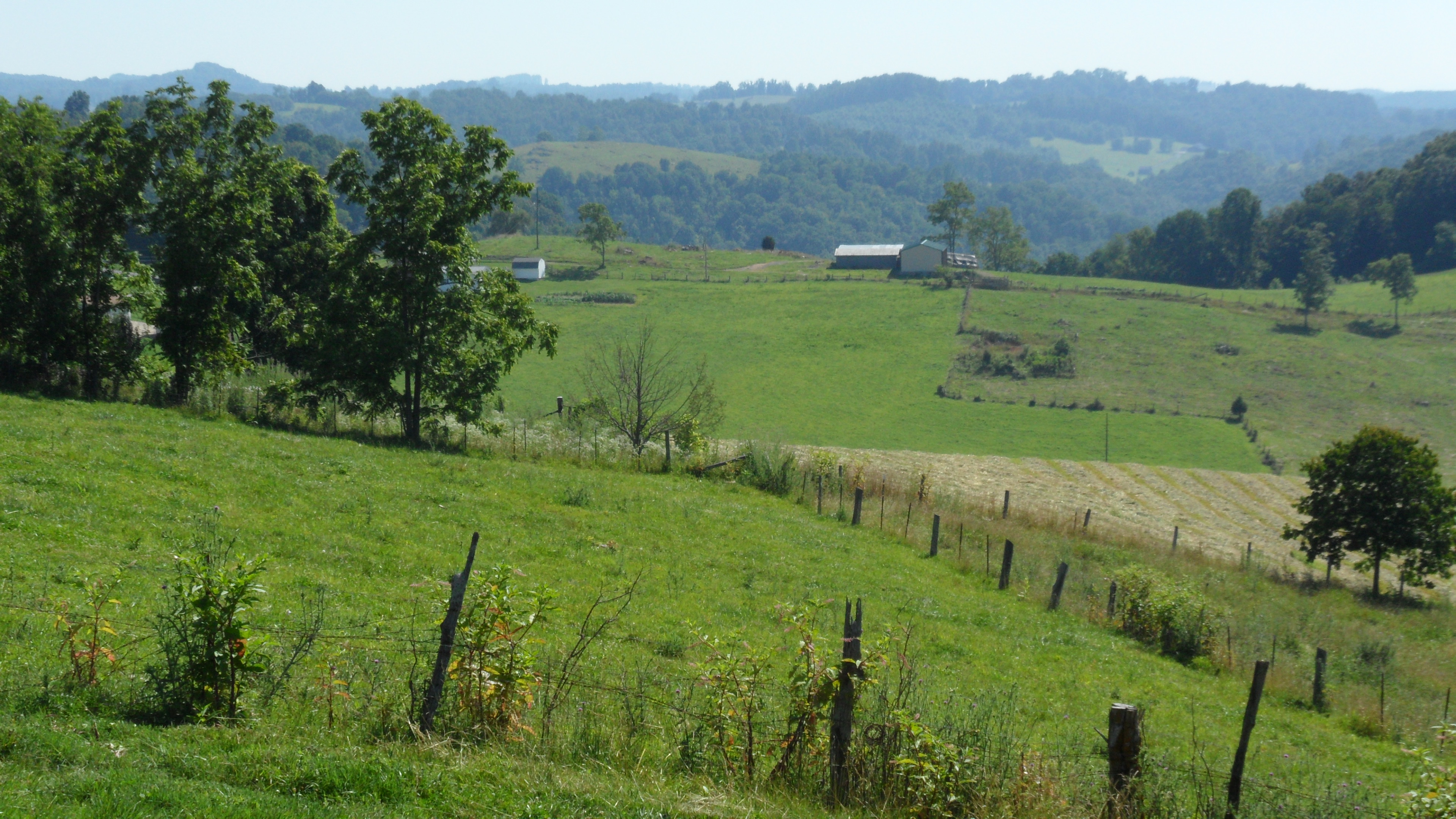
Green Pastures
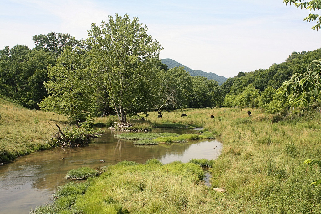
Grazing on Big Moccasin Creek
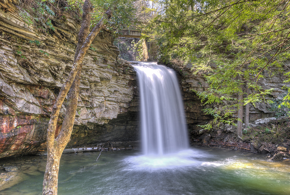
Little Stony Middle Falls

Little Stoney Creek Falls 1001
Upper Little Stony Falls
Fall Creek
Mcconnell, VA
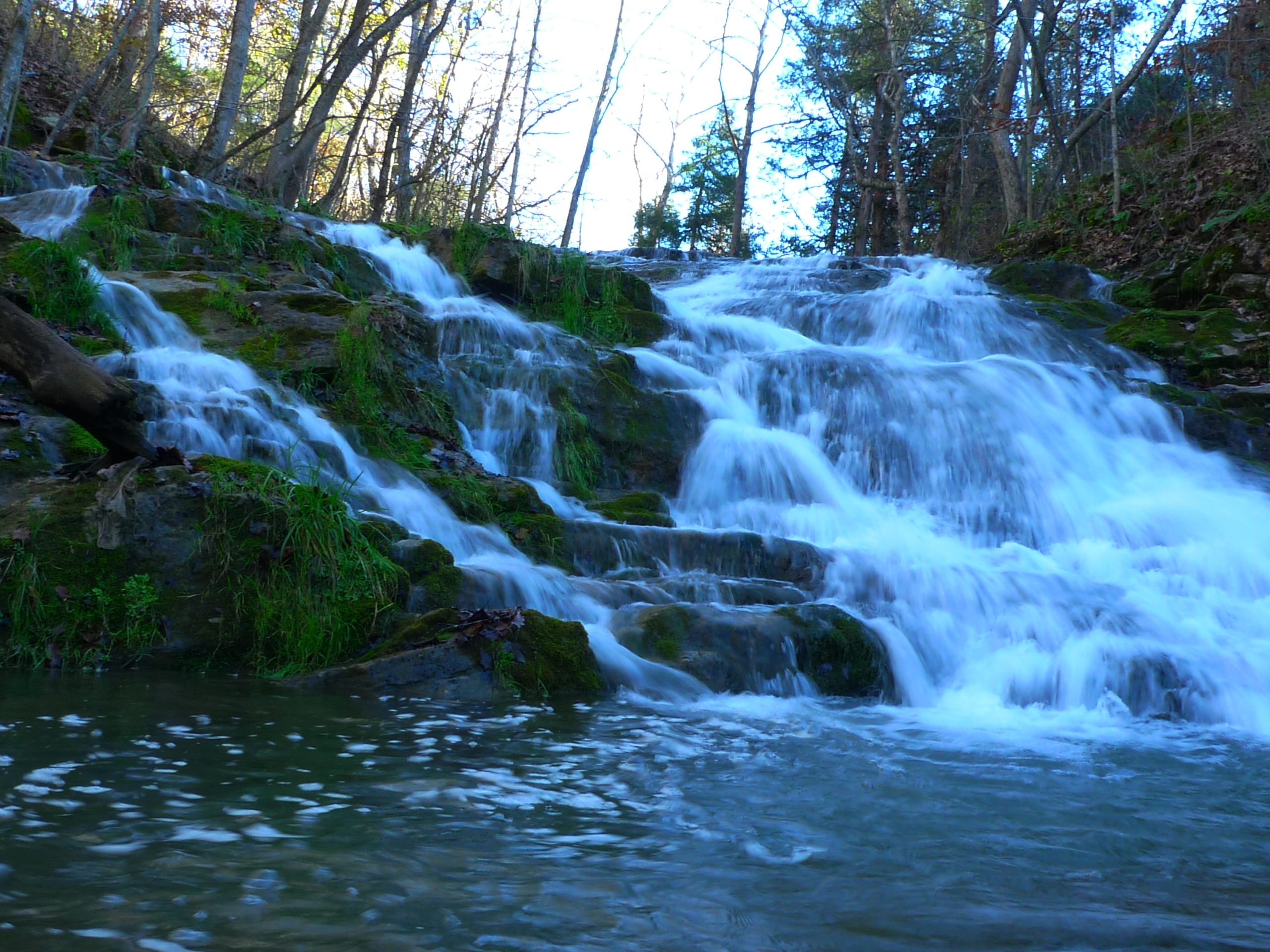
Fall Creek

Fall Creek
Topographic Map of Falls Creek Road, Falls Creek Rd, Dungannon, VA, USA
Find elevation by address:

Places near Falls Creek Road, Falls Creek Rd, Dungannon, VA, USA:
Long Hollow Road
Inthepines Circle
Twin Springs High School
Titan Ln, Nickelsville, VA, USA
185 Cathedral Dr
Dungannon
Nickelsville
7612 River Bluff Rd
Dean Hollow Road
Sunny Point Road
937 Luray Rd
Veterans Memorial Highway
1000 Johnson Settlement Rd
Grays Ford
Scarberry Hollow
2818 Dungannon Rd
125 Warren Baker Dr
1186 Mcclellan Town Ln
Taffy Lane
4, VA, USA
Recent Searches:
- Elevation of Dharamkot Tahsil, Punjab, India
- Elevation of Bhinder Khurd, Dharamkot Tahsil, Punjab, India
- Elevation of 2881, Chabot Drive, San Bruno, San Mateo County, California, 94066, USA
- Elevation of 10370, West 107th Circle, Westminster, Jefferson County, Colorado, 80021, USA
- Elevation of 611, Roman Road, Old Ford, Bow, London, England, E3 2RW, United Kingdom
- Elevation of 116, Beartown Road, Underhill, Chittenden County, Vermont, 05489, USA
- Elevation of Window Rock, Colfax County, New Mexico, 87714, USA
- Elevation of 4807, Rosecroft Street, Kempsville Gardens, Virginia Beach, Virginia, 23464, USA
- Elevation map of Matawinie, Quebec, Canada
- Elevation of Sainte-Émélie-de-l'Énergie, Matawinie, Quebec, Canada
- Elevation of Rue du Pont, Sainte-Émélie-de-l'Énergie, Matawinie, Quebec, J0K2K0, Canada
- Elevation of 8, Rue de Bécancour, Blainville, Thérèse-De Blainville, Quebec, J7B1N2, Canada
- Elevation of Wilmot Court North, 163, University Avenue West, Northdale, Waterloo, Region of Waterloo, Ontario, N2L6B6, Canada
- Elevation map of Panamá Province, Panama
- Elevation of Balboa, Panamá Province, Panama
- Elevation of San Miguel, Balboa, Panamá Province, Panama
- Elevation of Isla Gibraleón, San Miguel, Balboa, Panamá Province, Panama
- Elevation of 4655, Krischke Road, Schulenburg, Fayette County, Texas, 78956, USA
- Elevation of Carnegie Avenue, Downtown Cleveland, Cleveland, Cuyahoga County, Ohio, 44115, USA
- Elevation of Walhonding, Coshocton County, Ohio, USA