Elevation of Sunny Point Road, Sunny Point Rd, Castlewood, VA, USA
Location: United States > Virginia > Russell County > Castlewood >
Longitude: -82.377788
Latitude: 36.8296816
Elevation: -10000m / -32808feet
Barometric Pressure: 0KPa
Related Photos:

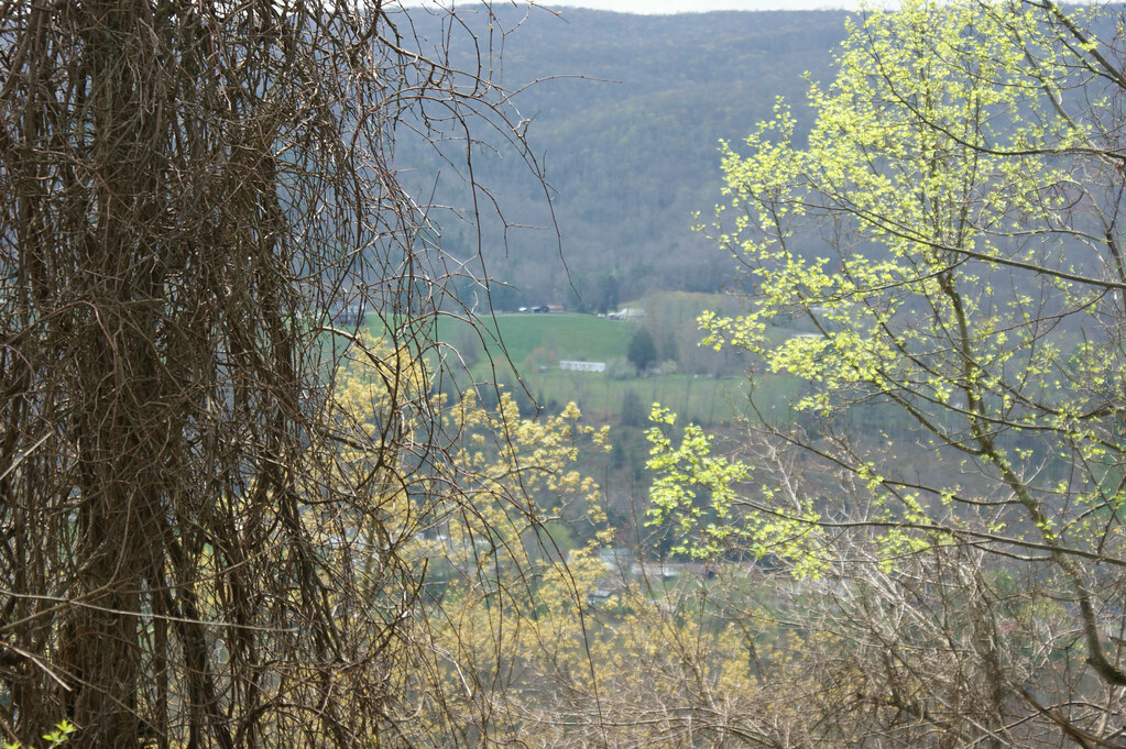
: : My Virginia : : Mew View

Mountain View

Mountain View
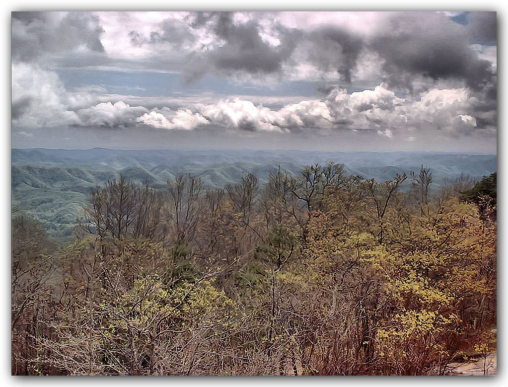
View from the Clouds

Salyers House

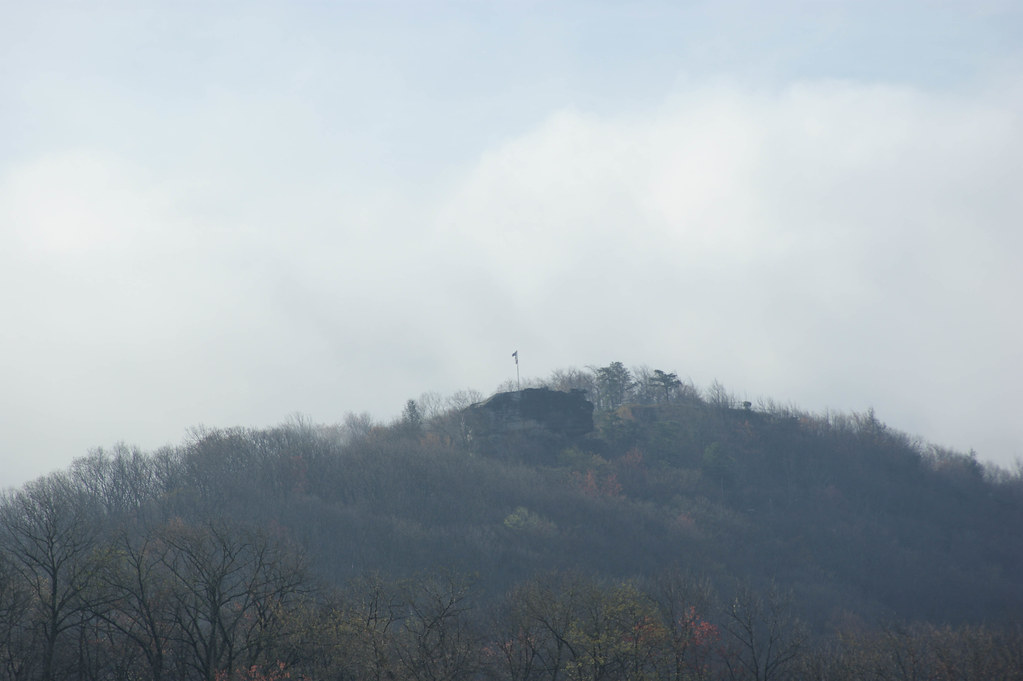
Bear Rock Overlook

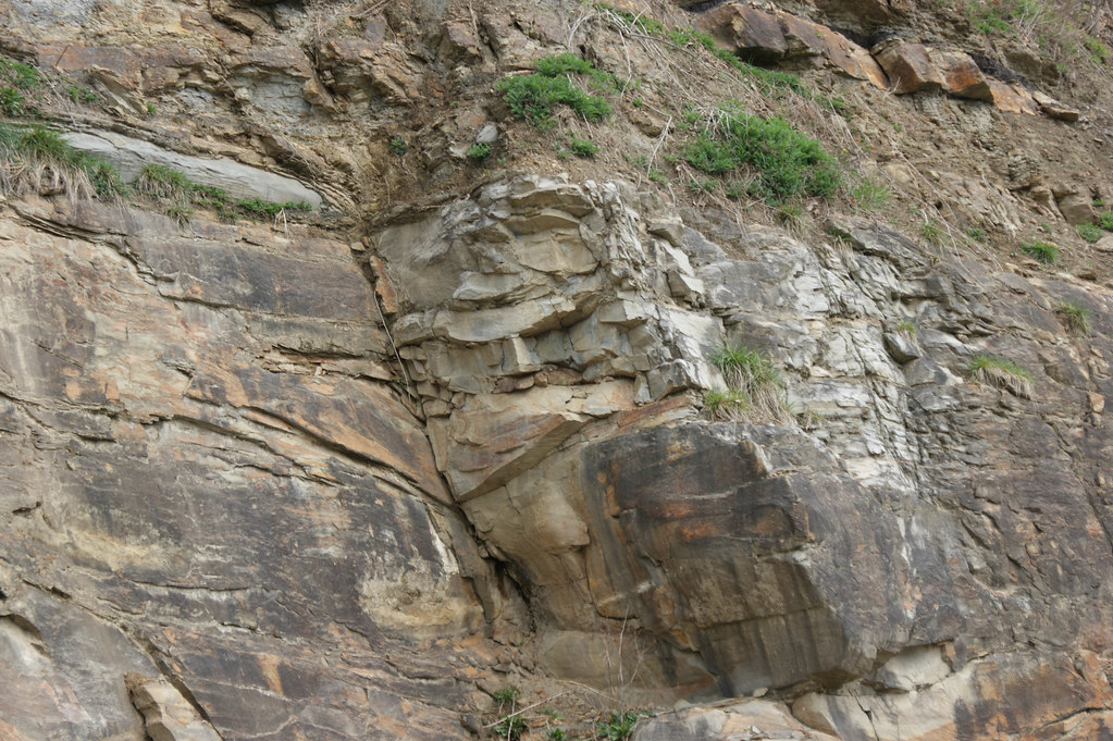
Up Close and Personal

Kilgore Fort House

medota, virginia

Another view of Clinch Mountain

Wise County, Virginia Views

Wise County, Virginia Views

Wise County, Virginia Views
Wise County, Virginia Views

Wise County, Virginia Views
Wise County, Virginia Views
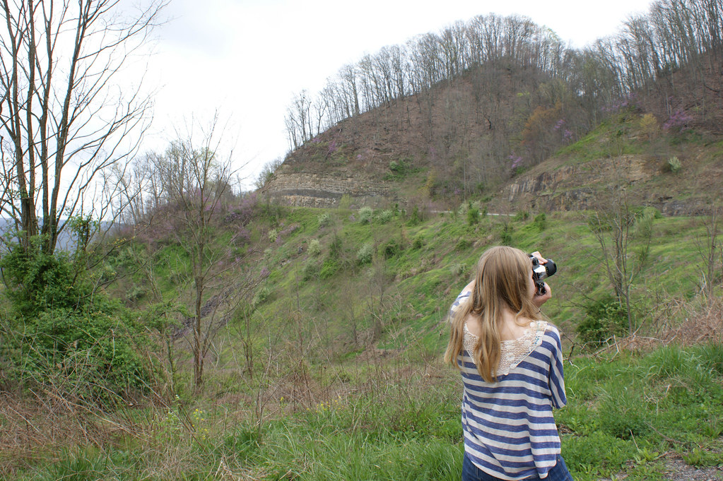
Wise County, Virginia Views

Wise County, Virginia Views

Wise County, Virginia Views
Wise County, Virginia Views

Wise County, Virginia Views
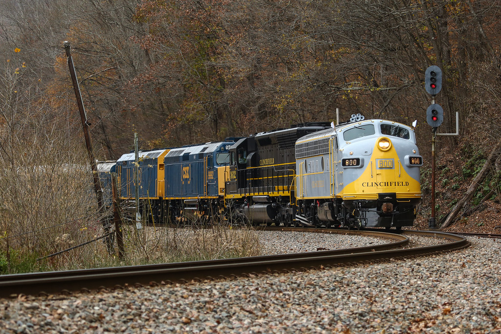
CSX P901 @ Boody

CRR 800 in Motion

P935-17 South by the North End of Boody on the Clinchfield.

CSX 74th Annual Santa Train in 2016 rounding the curve through Boody, VA.

Clinchfield Country

Oxbow lake

Hagan Hall from Ridge

Turn Off the Paved Road

Upper Little Stony Falls

CSX Santa Train 2017

Copper Ridge Road

02839c Little Stoney Falls

Green Pastures

Grazing on Big Moccasin Creek

Little Stoney Creek Falls 1001

Little Stone Creek Falls 1004
Topographic Map of Sunny Point Road, Sunny Point Rd, Castlewood, VA, USA
Find elevation by address:

Places near Sunny Point Road, Sunny Point Rd, Castlewood, VA, USA:
1000 Johnson Settlement Rd
Long Hollow Road
185 Cathedral Dr
Scarberry Hollow
125 Warren Baker Dr
Inthepines Circle
Falls Creek Road
Nickelsville
Evans Road
Dean Hollow Road
15755 Trail Of The Lonesome Pine
Dungannon
Twin Springs High School
Titan Ln, Nickelsville, VA, USA
Saint Paul
2818 Dungannon Rd
4, VA, USA
Boody Road
7612 River Bluff Rd
Castlewood
Recent Searches:
- Elevation of 908, Northwood Drive, Bridge Field, Chesapeake, Virginia, 23322, USA
- Elevation map of Nagano Prefecture, Japan
- Elevation of 587, Bascule Drive, Oakdale, Stanislaus County, California, 95361, USA
- Elevation of Stadion Wankdorf, Sempachstrasse, Breitfeld, Bern, Bern-Mittelland administrative district, Bern, 3014, Switzerland
- Elevation of Z024, 76, Emil-von-Behring-Straße, Marbach, Marburg, Landkreis Marburg-Biedenkopf, Hesse, 35041, Germany
- Elevation of Gaskill Road, Hunts Cross, Liverpool, England, L24 9PH, United Kingdom
- Elevation of Speke, Liverpool, England, L24 9HD, United Kingdom
- Elevation of Seqirus, 475, Green Oaks Parkway, Holly Springs, Wake County, North Carolina, 27540, USA
- Elevation of Pasing, Munich, Bavaria, 81241, Germany
- Elevation of 24, Auburn Bay Crescent SE, Auburn Bay, Calgary, Alberta, T3M 0A6, Canada
- Elevation of Denver, 2314, Arapahoe Street, Five Points, Denver, Colorado, 80205, USA
- Elevation of Community of the Beatitudes, 2924, West 43rd Avenue, Sunnyside, Denver, Colorado, 80211, USA
- Elevation map of Litang County, Sichuan, China
- Elevation map of Madoi County, Qinghai, China
- Elevation of 3314, Ohio State Route 114, Payne, Paulding County, Ohio, 45880, USA
- Elevation of Sarahills Drive, Saratoga, Santa Clara County, California, 95070, USA
- Elevation of Town of Bombay, Franklin County, New York, USA
- Elevation of 9, Convent Lane, Center Moriches, Suffolk County, New York, 11934, USA
- Elevation of Saint Angelas Convent, 9, Convent Lane, Center Moriches, Suffolk County, New York, 11934, USA
- Elevation of 131st Street Southwest, Mukilteo, Snohomish County, Washington, 98275, USA