Elevation of Redbluff Rd, Livermore, CO, USA
Location: United States > Colorado > Larimer County > Livermore >
Longitude: -105.21413
Latitude: 40.9812894
Elevation: 2135m / 7005feet
Barometric Pressure: 78KPa
Elevation Map:
Satellite Map:
Related Photos:
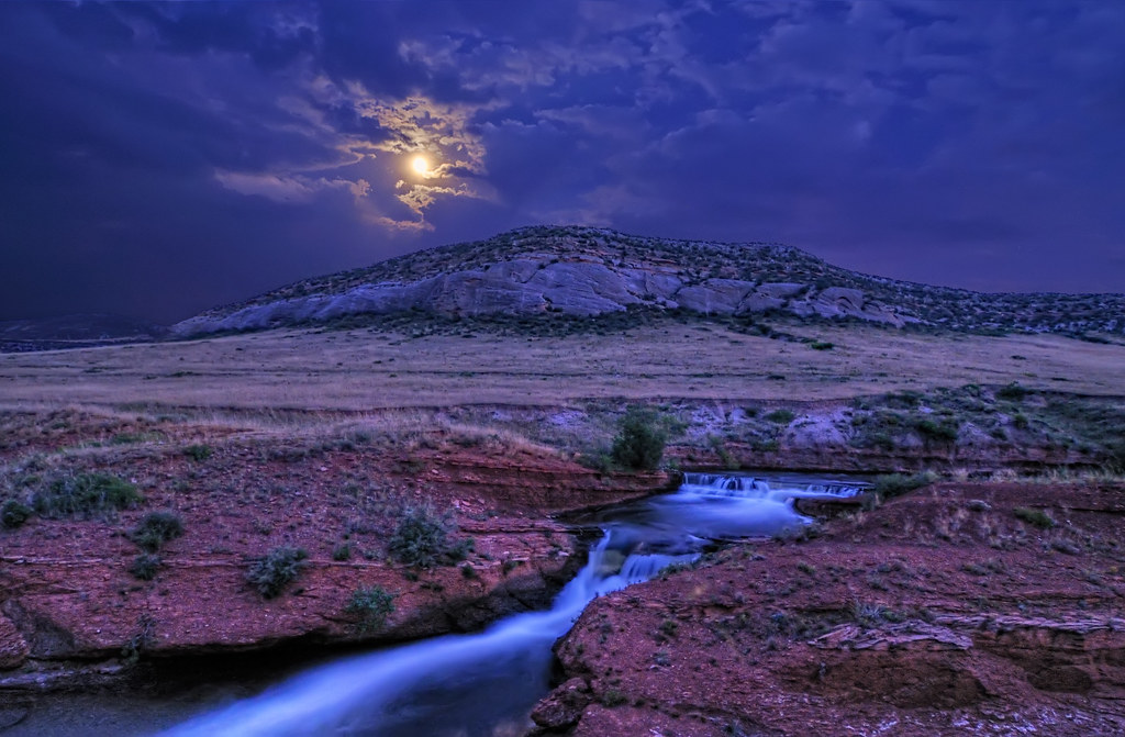
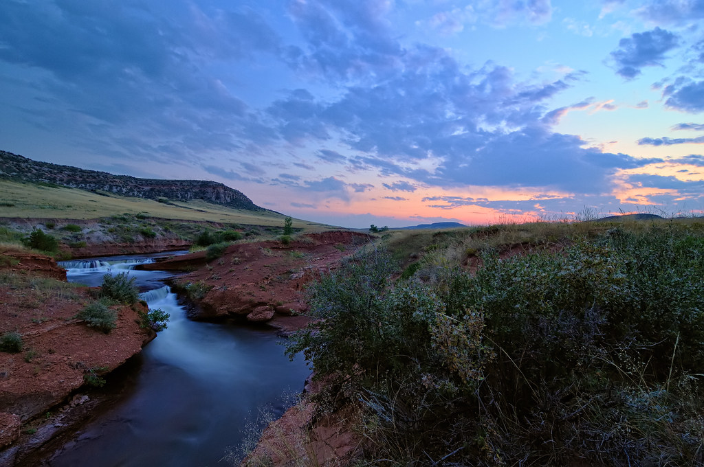
Moonshine Falls in the Laramie Foothills

Sundown on the Laramie Foothills
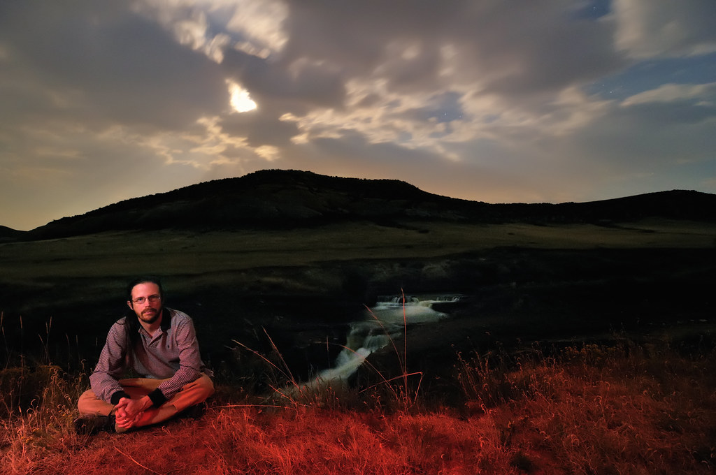
A Night Sky Hunter & His Quarry
for J Wells S
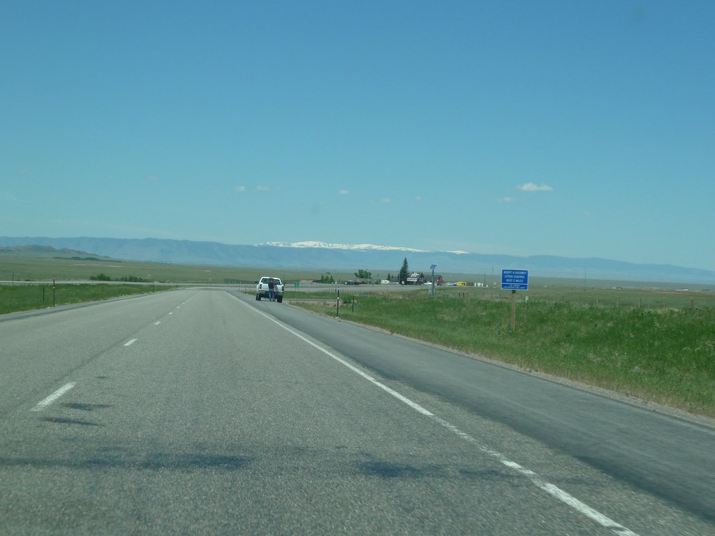
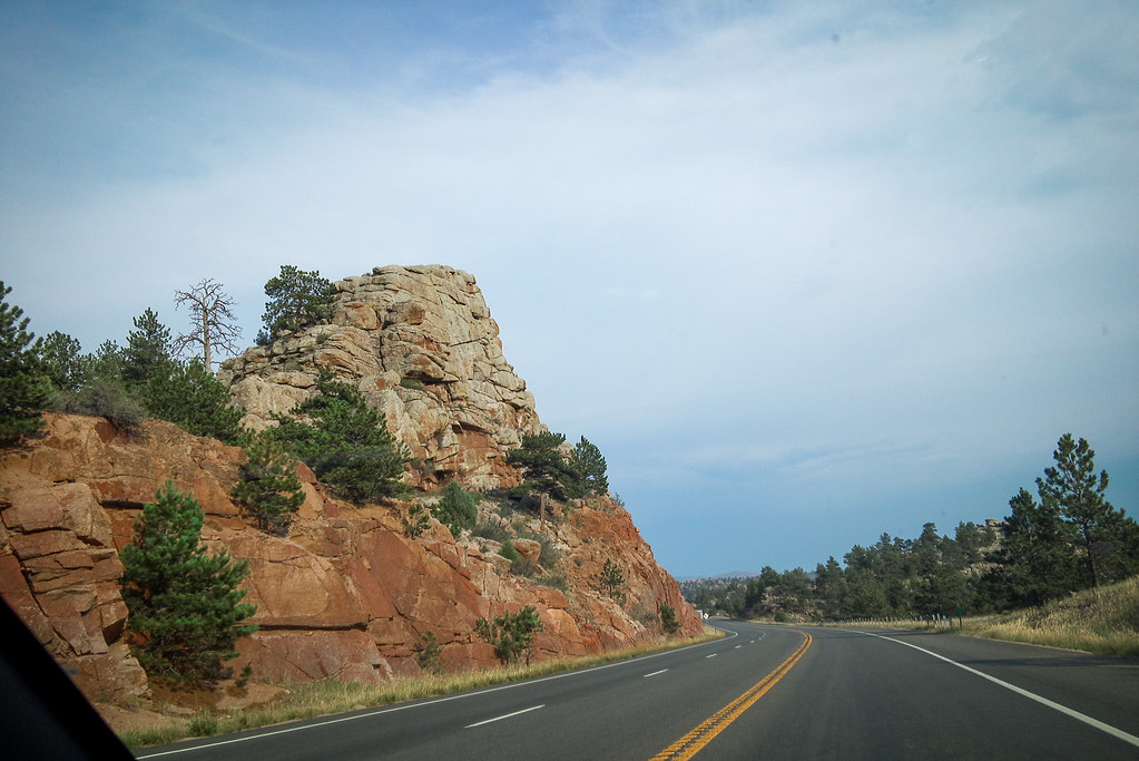
Views from the road from Denver, CO to Rock Springs, Wy
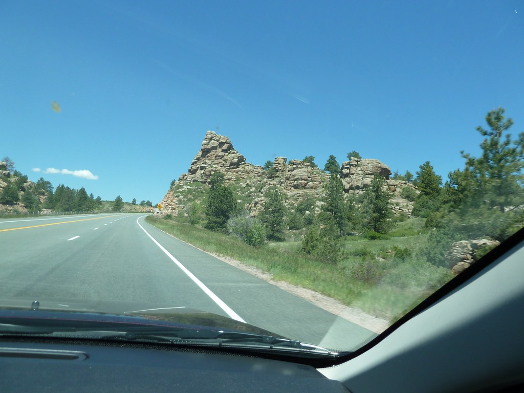
Views from the road from Denver, CO to Rock Springs, Wy
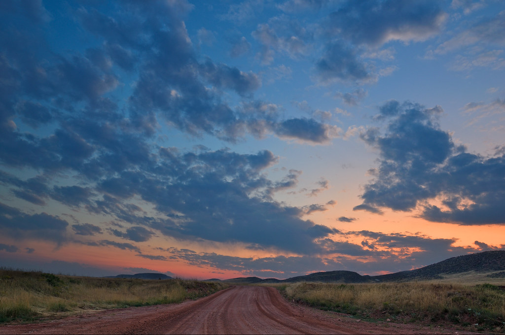
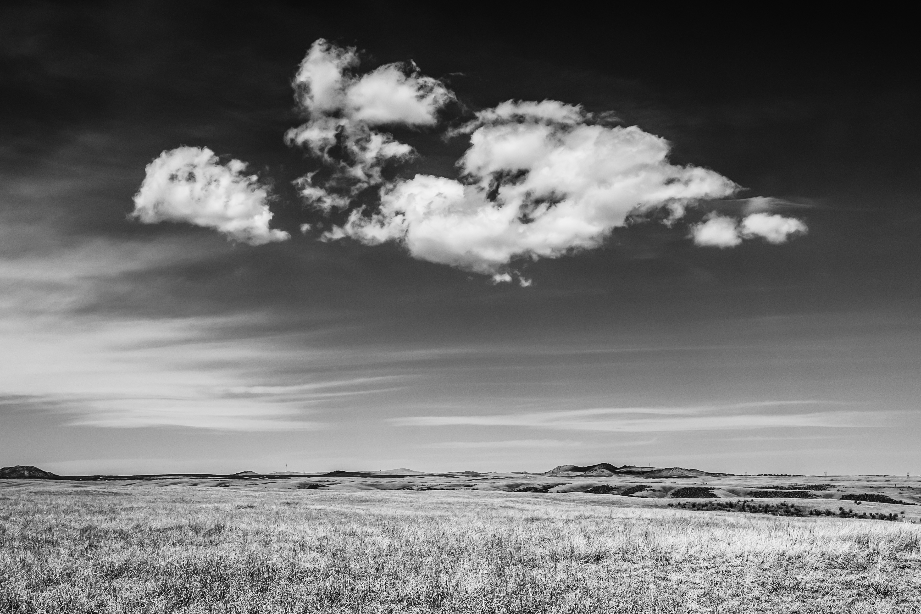
Laramie Foothills Evening Pastels
Evening Falls
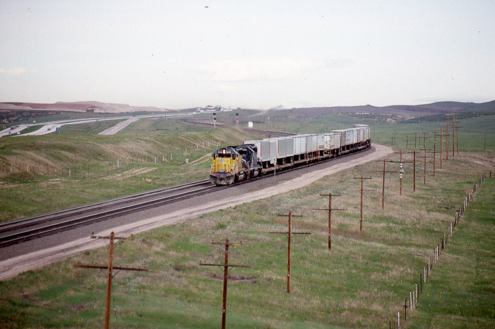
Eastbound Union Pacific SD40-2 #3636 from the US30 overpass west of Cheyenne WY on 5/29/87.

On the farm

Harriman, WY

PRE_2009-11-13-081233
SEA-DC: Colorado
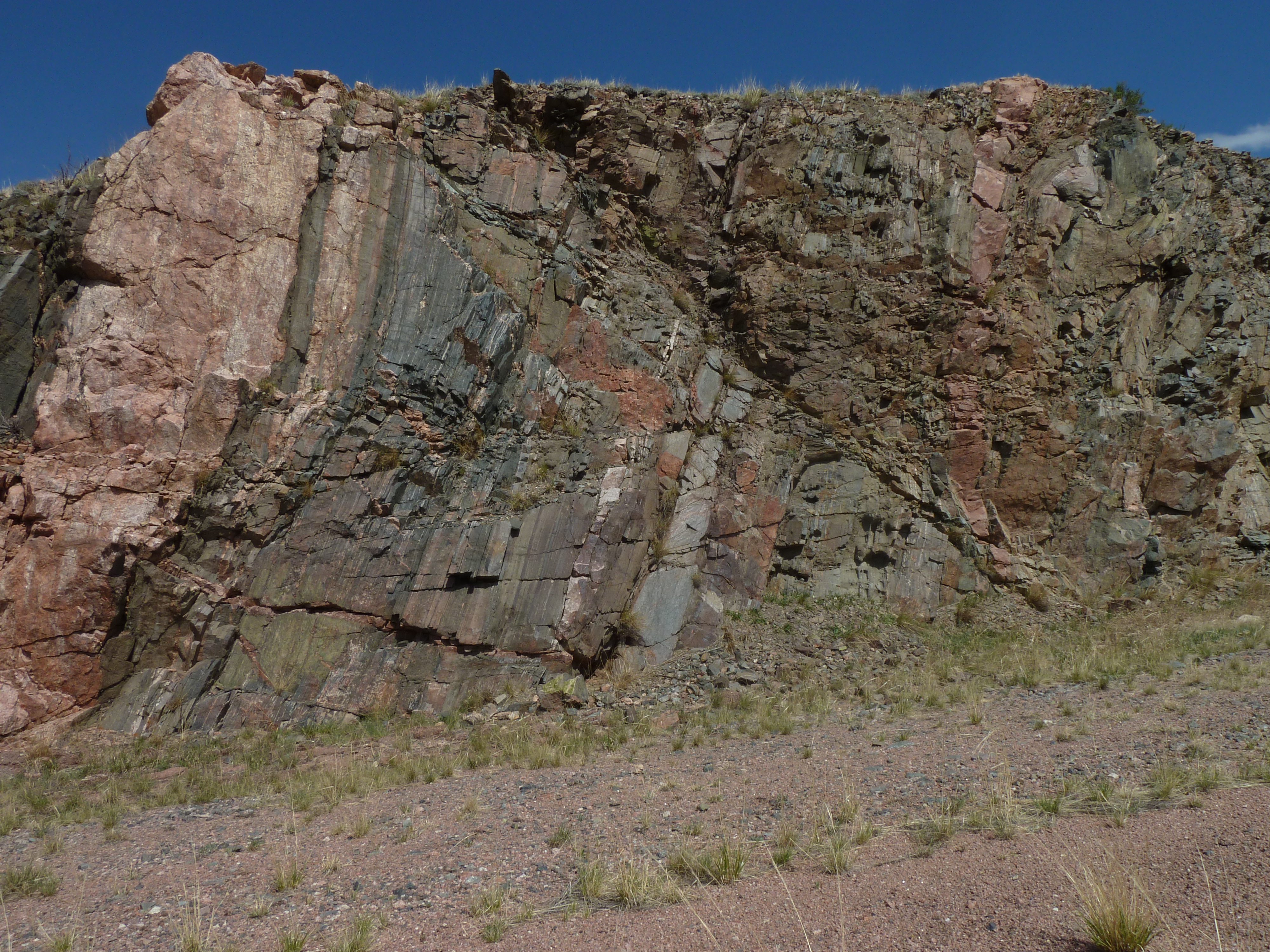
Fault in hard rock
1st stop site
Precambrian Flats
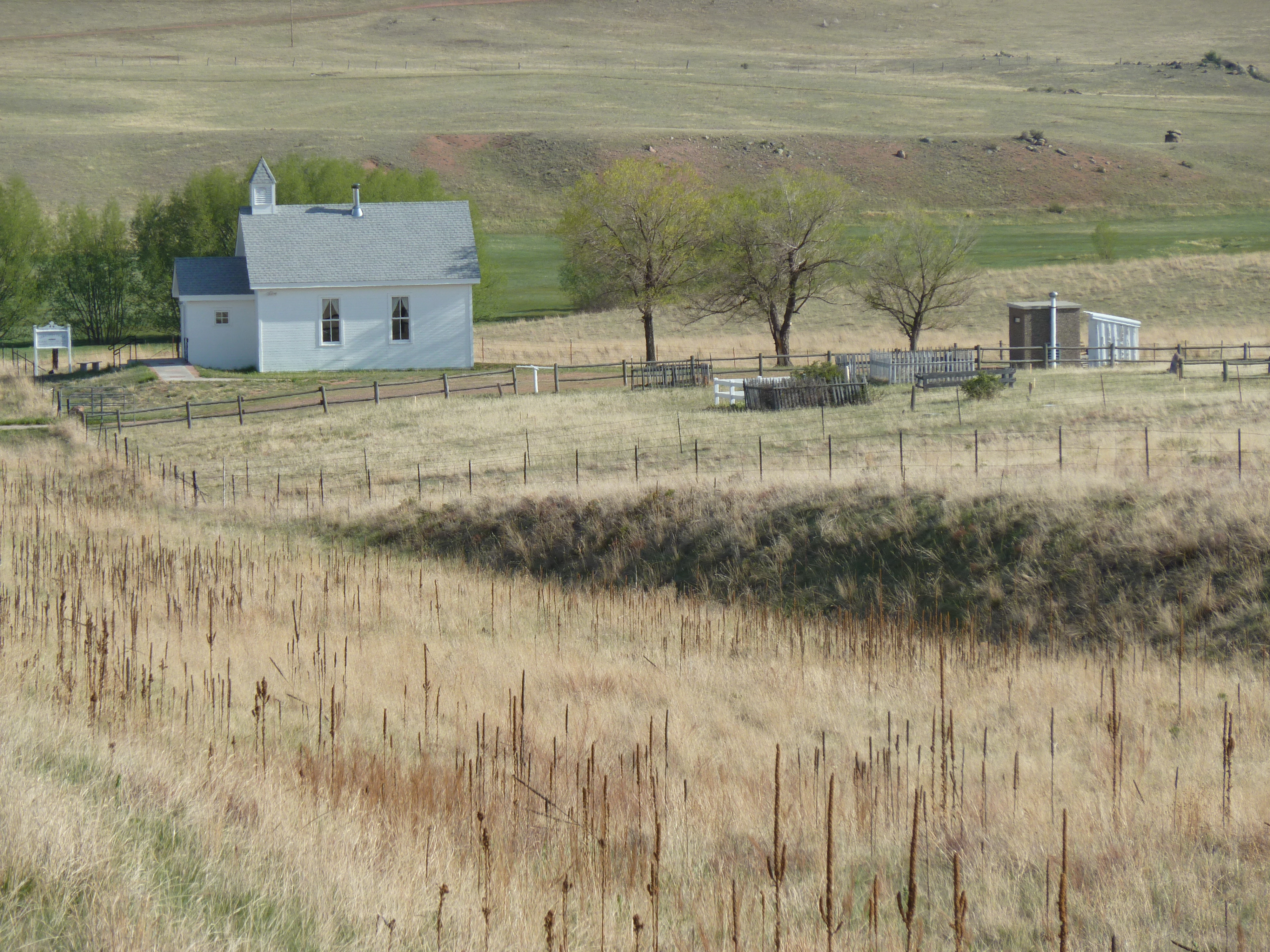
Virginia Dale Community Church and Cemetery
Soapstone Prairie
Red Mountain Open Space
Amtrak F40PH #374 heading west leading the Pioneer under the old US30 overpass west of Cheyenne WY on 7/26/91

the Harriman Barn
Double Tracks
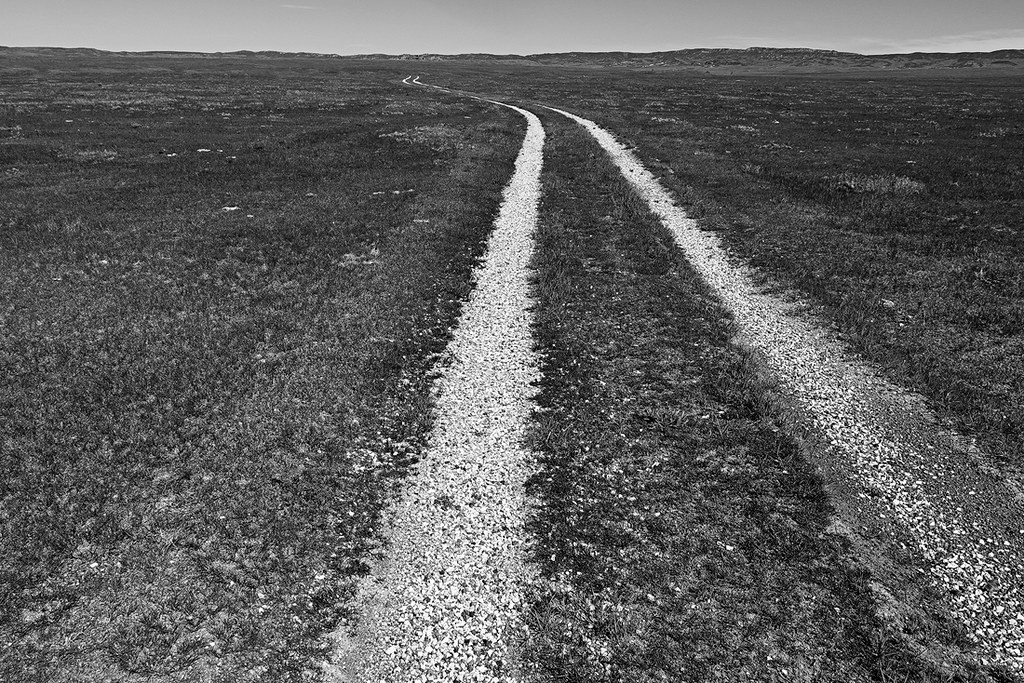
The Prairie

Soaring Hawk
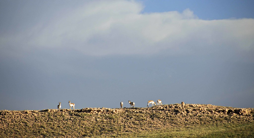
Pronghorns on the Ridge
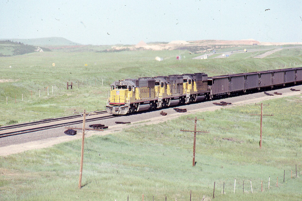
Union Pacific SD60 #6043 leads eastbound coal under the old US 30 overpass west of Cheyenne on 6/24/90.
Topographic Map of Redbluff Rd, Livermore, CO, USA
Find elevation by address:

Places near Redbluff Rd, Livermore, CO, USA:
1761 Redbluff Rd
347 Moonshadow Rd
267 Granite Canyon Rd
9 Rd 102
294 Buffalo Horn Rd
260 Pristine Pines Ln
965 Granite Springs Rd
Granite
I-80 Service Rd, Granite, WY, USA
Virginia Dale
Buford
Livermore
Curt Gowdy State Park
U.S., Laporte, CO, USA
W County Rd 80, Wellington, CO, USA
36292 Us-287
2308 Red Feather Lakes Rd
Tree In The Rock, Historical Site
Dale Creek
450 Happy Jack Rd
Recent Searches:
- Elevation of Corso Fratelli Cairoli, 35, Macerata MC, Italy
- Elevation of Tallevast Rd, Sarasota, FL, USA
- Elevation of 4th St E, Sonoma, CA, USA
- Elevation of Black Hollow Rd, Pennsdale, PA, USA
- Elevation of Oakland Ave, Williamsport, PA, USA
- Elevation of Pedrógão Grande, Portugal
- Elevation of Klee Dr, Martinsburg, WV, USA
- Elevation of Via Roma, Pieranica CR, Italy
- Elevation of Tavkvetili Mountain, Georgia
- Elevation of Hartfords Bluff Cir, Mt Pleasant, SC, USA