Elevation of I-80 Service Rd, Granite, WY, USA
Location: United States > Wyoming > Laramie County >
Longitude: -105.15819
Latitude: 41.099715
Elevation: 2239m / 7346feet
Barometric Pressure: 77KPa
Elevation Map:
Satellite Map:
Related Photos:
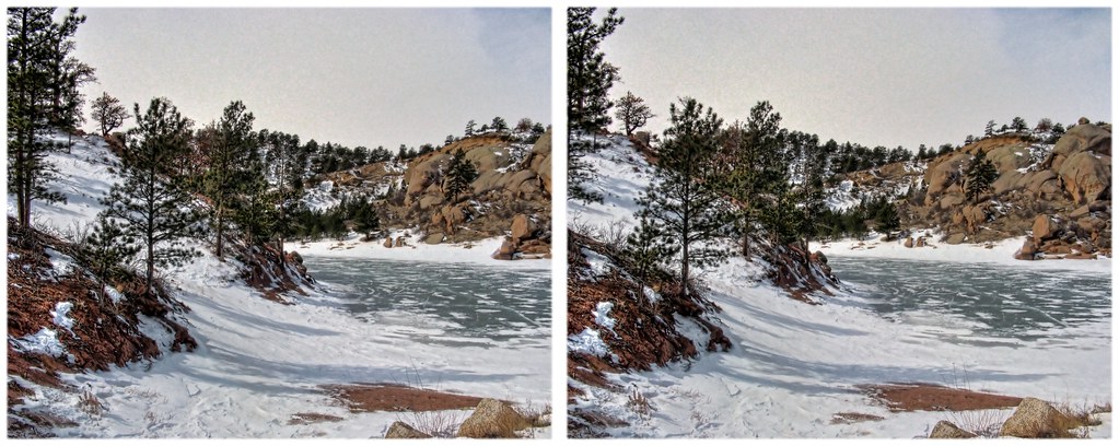
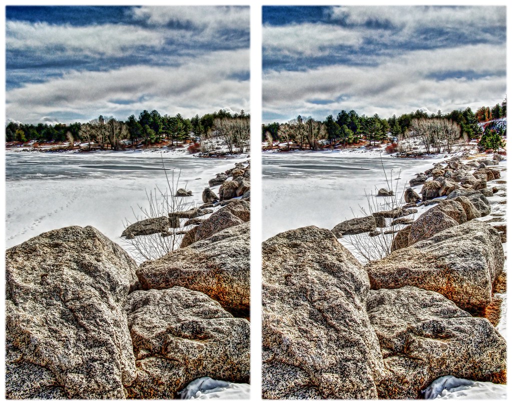
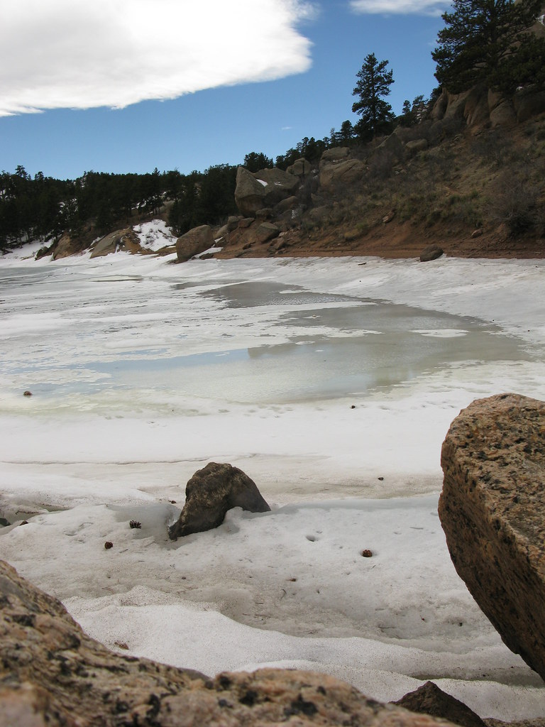
Frozen Shore
Frozen in
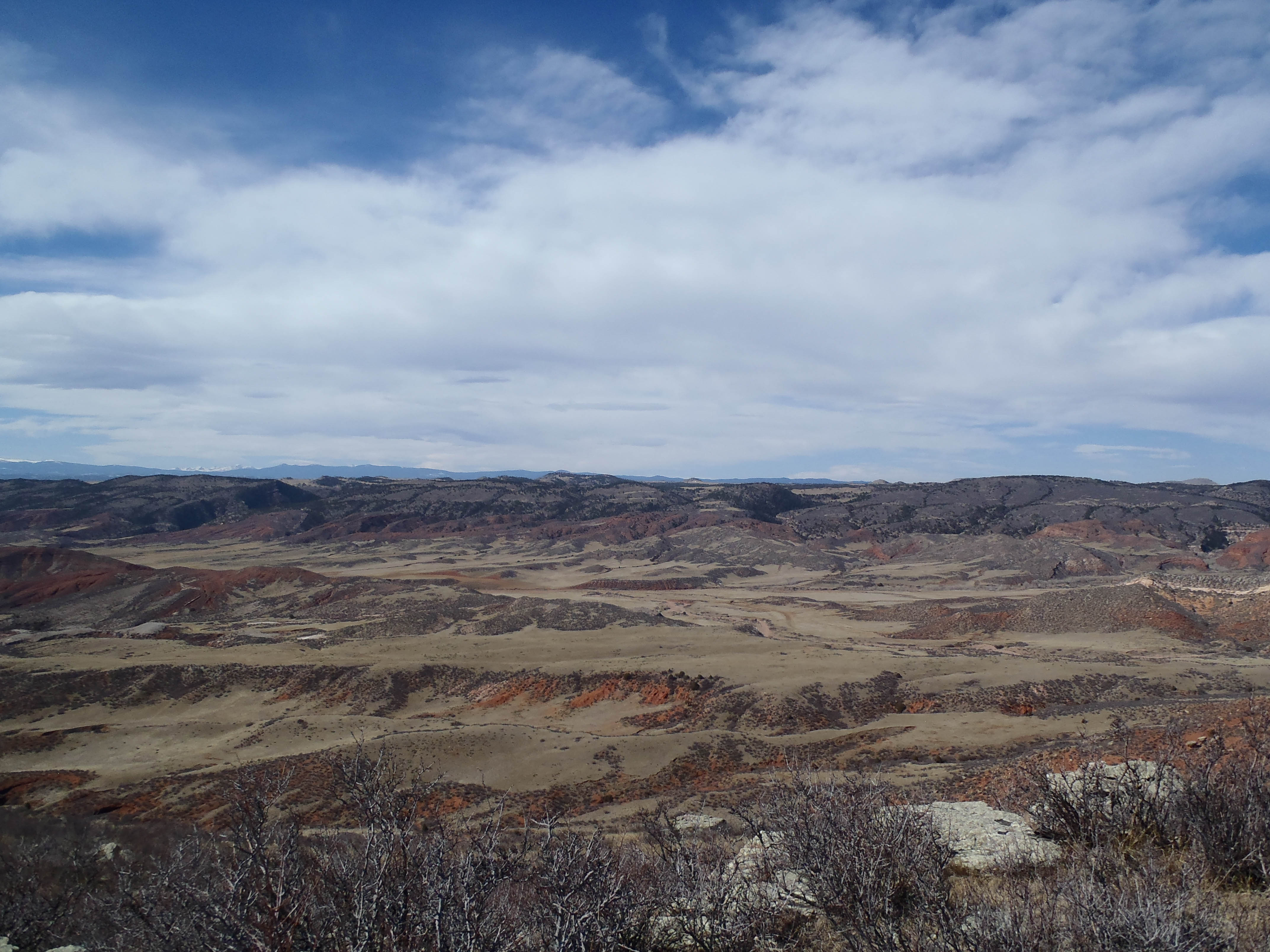
Curt Gowdy View
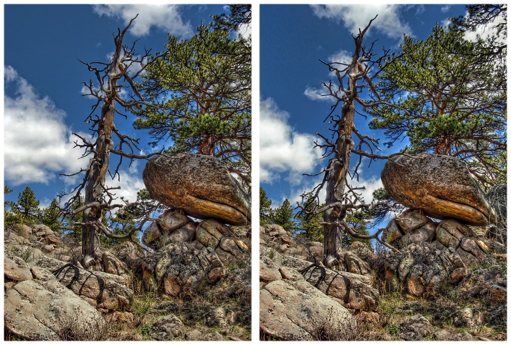
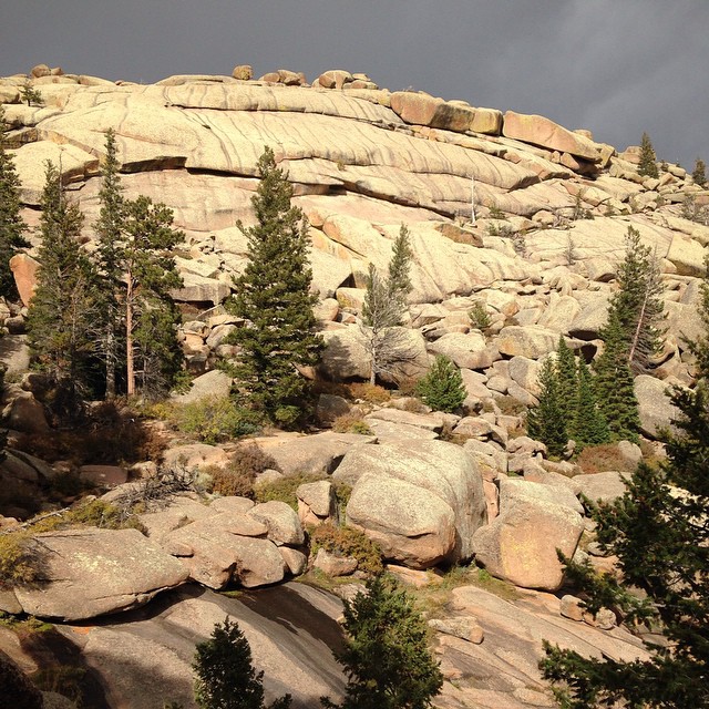
Curt Gowdy Formations 6
Frozen 2
Today's #picnic #view #1 #veedawoo #wyoming #igerswyoming
campsite view
2nd #picnic #view of the day. #vedawoo #wyoming #MedicineBow #igerswyoming
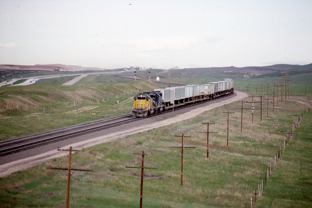
Eastbound Union Pacific SD40-2 #3636 from the US30 overpass west of Cheyenne WY on 5/29/87.
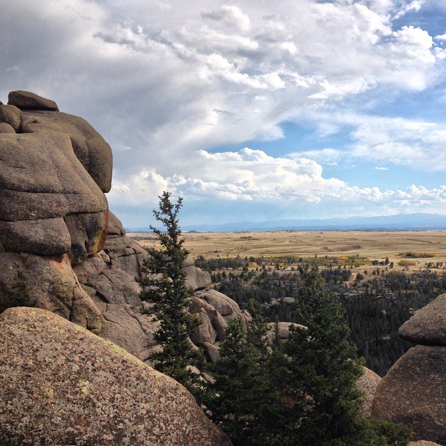
Curt Gowdy View
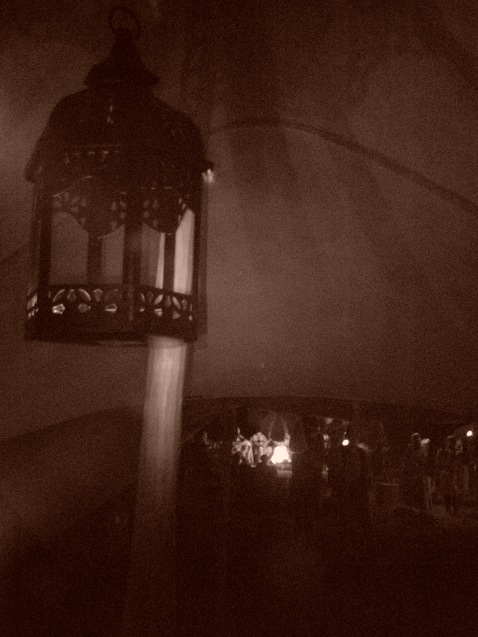
Bedouin Lantern

Harriman, WY
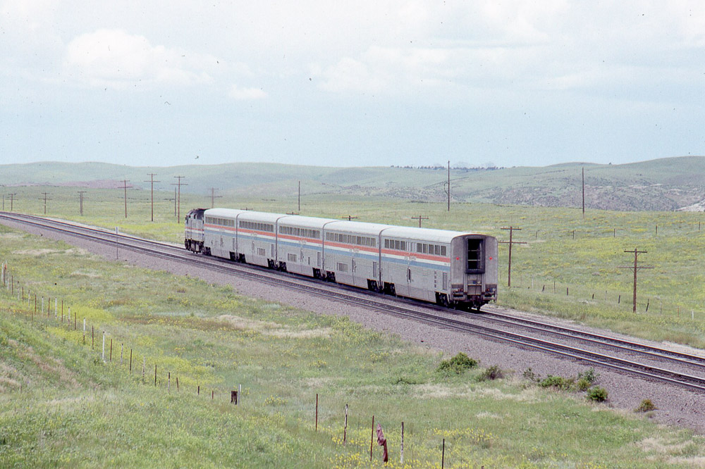
Amtrak F40PH #374 heading west leading the Pioneer under the old US30 overpass west of Cheyenne WY on 7/26/91
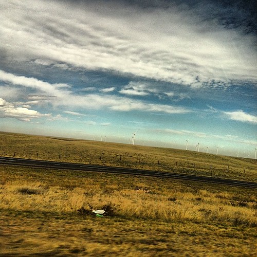
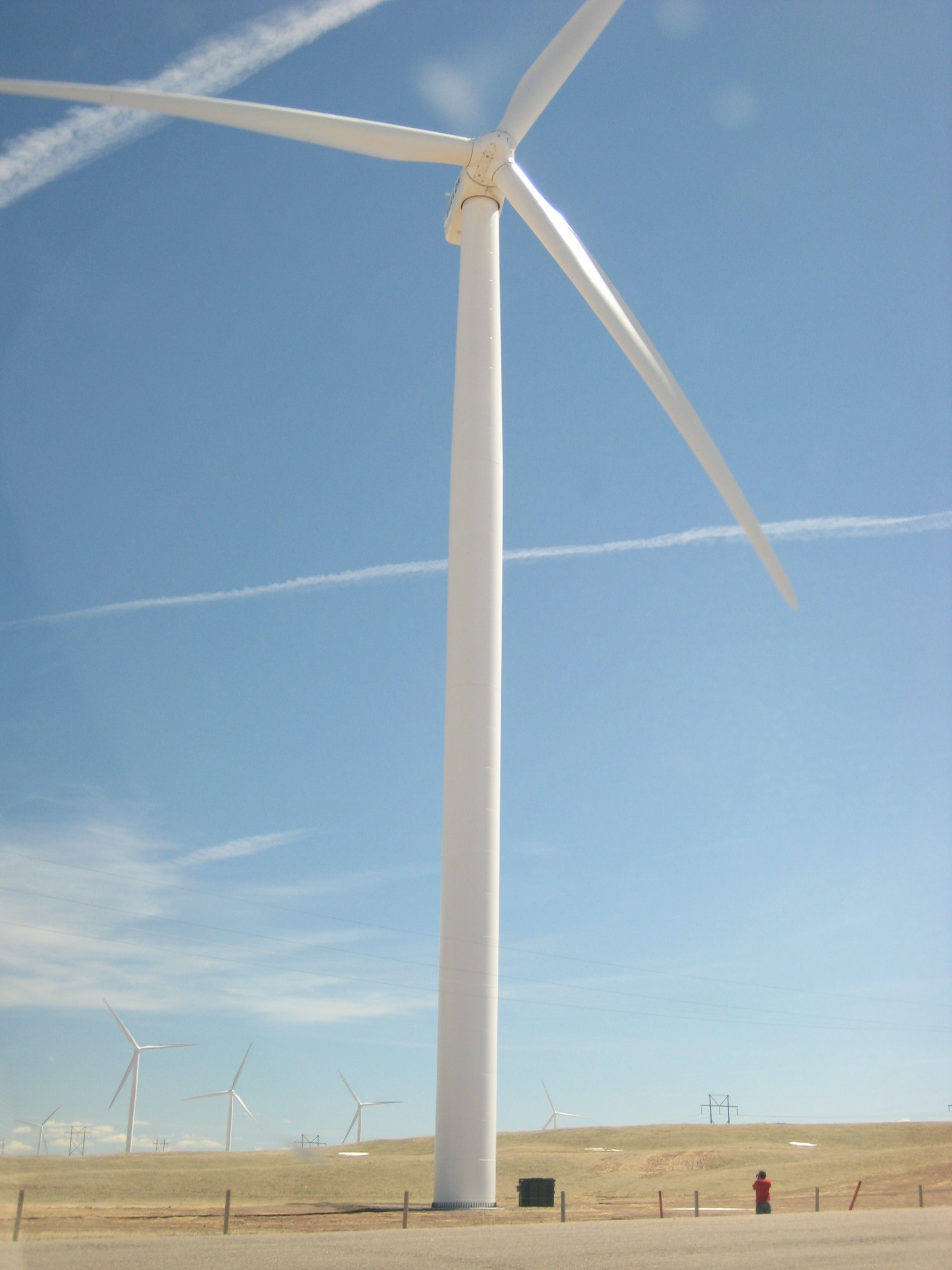
#wyo #windmills

the Harriman Barn
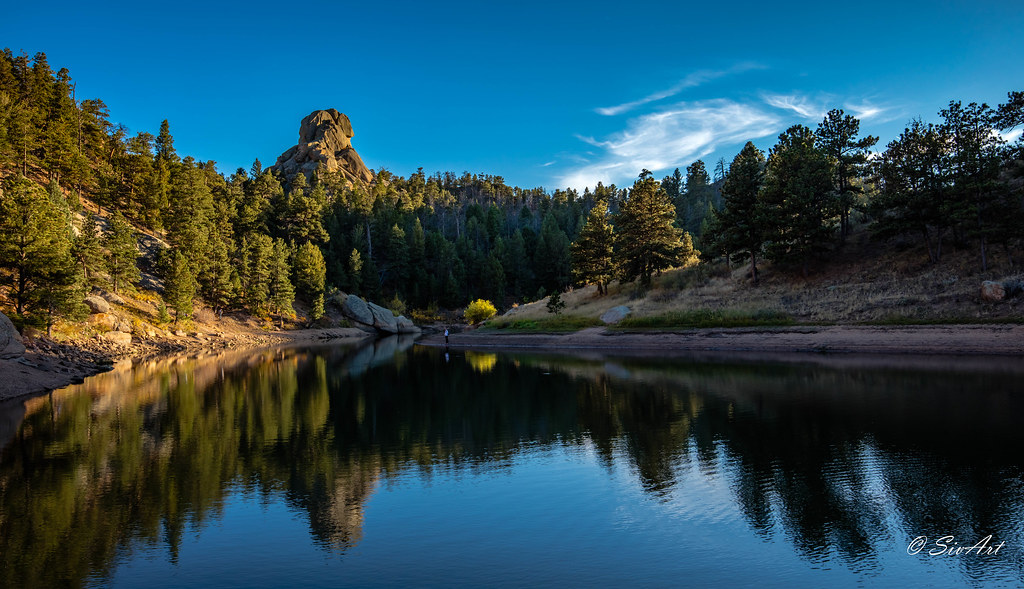
Reflection Peak
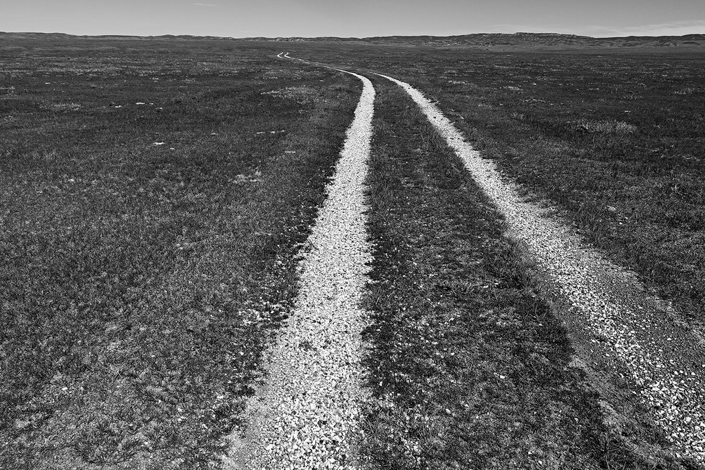
Double Tracks
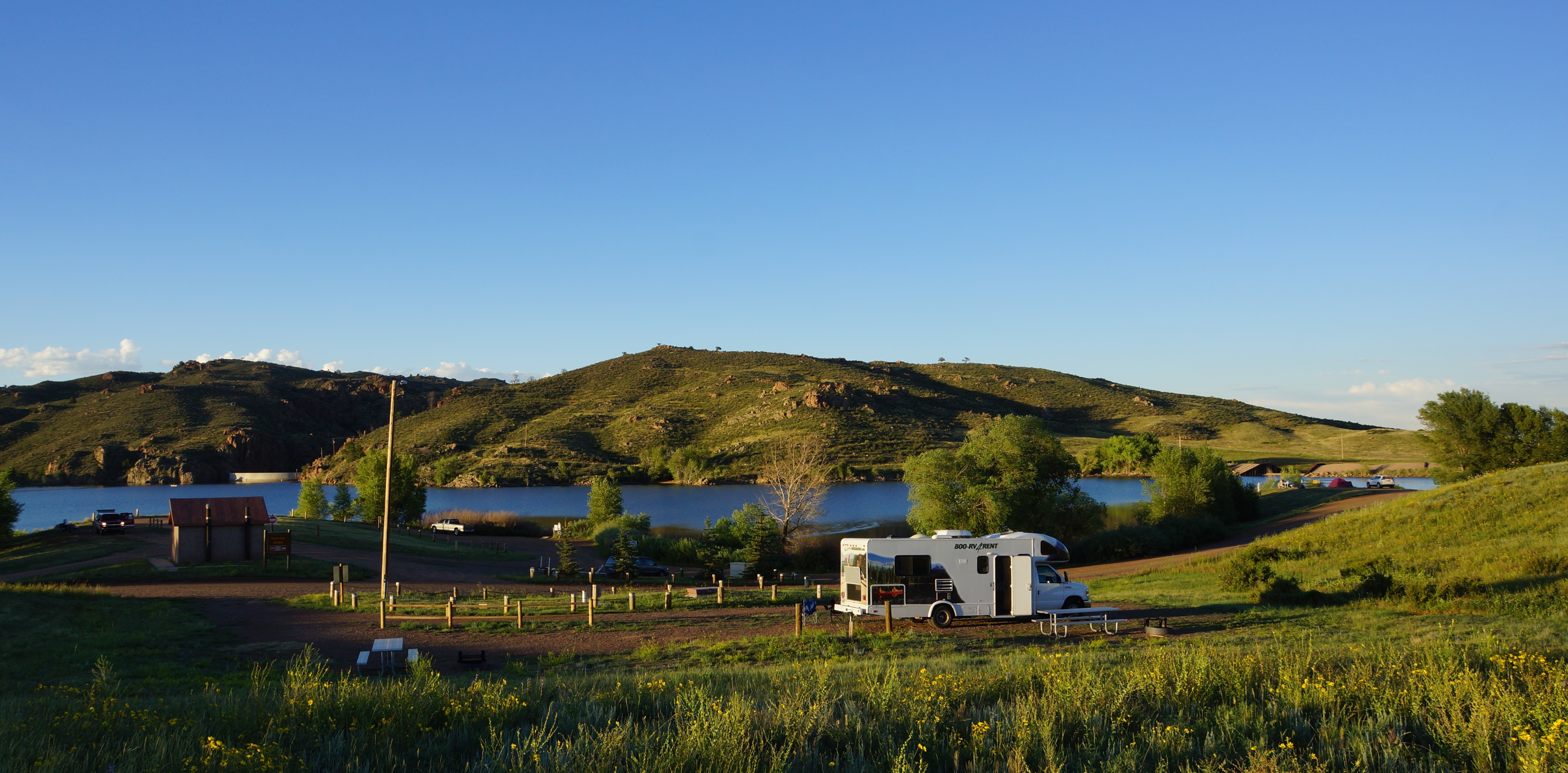
Also camp.

Crow Creek Falls
as the ice melts
07-04-2014

Soaring Hawk
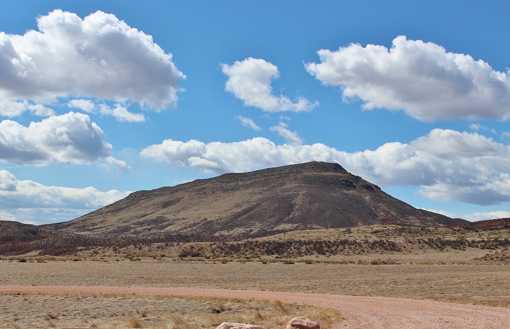
Table Mountain
2014 - USA - 002
Soapstone NA-63.jpg
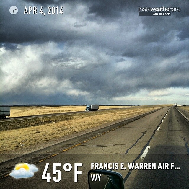
#instaweather #instaweatherpro #weather #wx #android #sky #outdoors #nature #world #love #followme #follow #beautiful #instagood #fun #cool #like #life #nice #happy #colorful #photooftheday #amazing #francise.warrenairforcebase #wy #day #winter #clouds #m
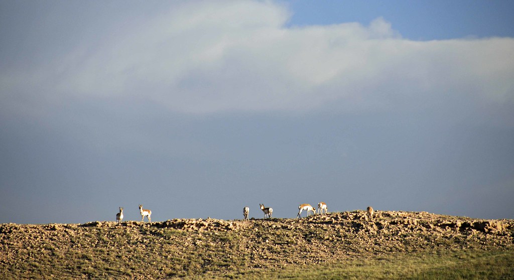
Pronghorns on the Ridge
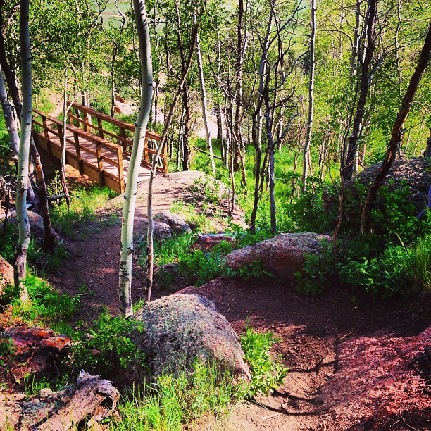
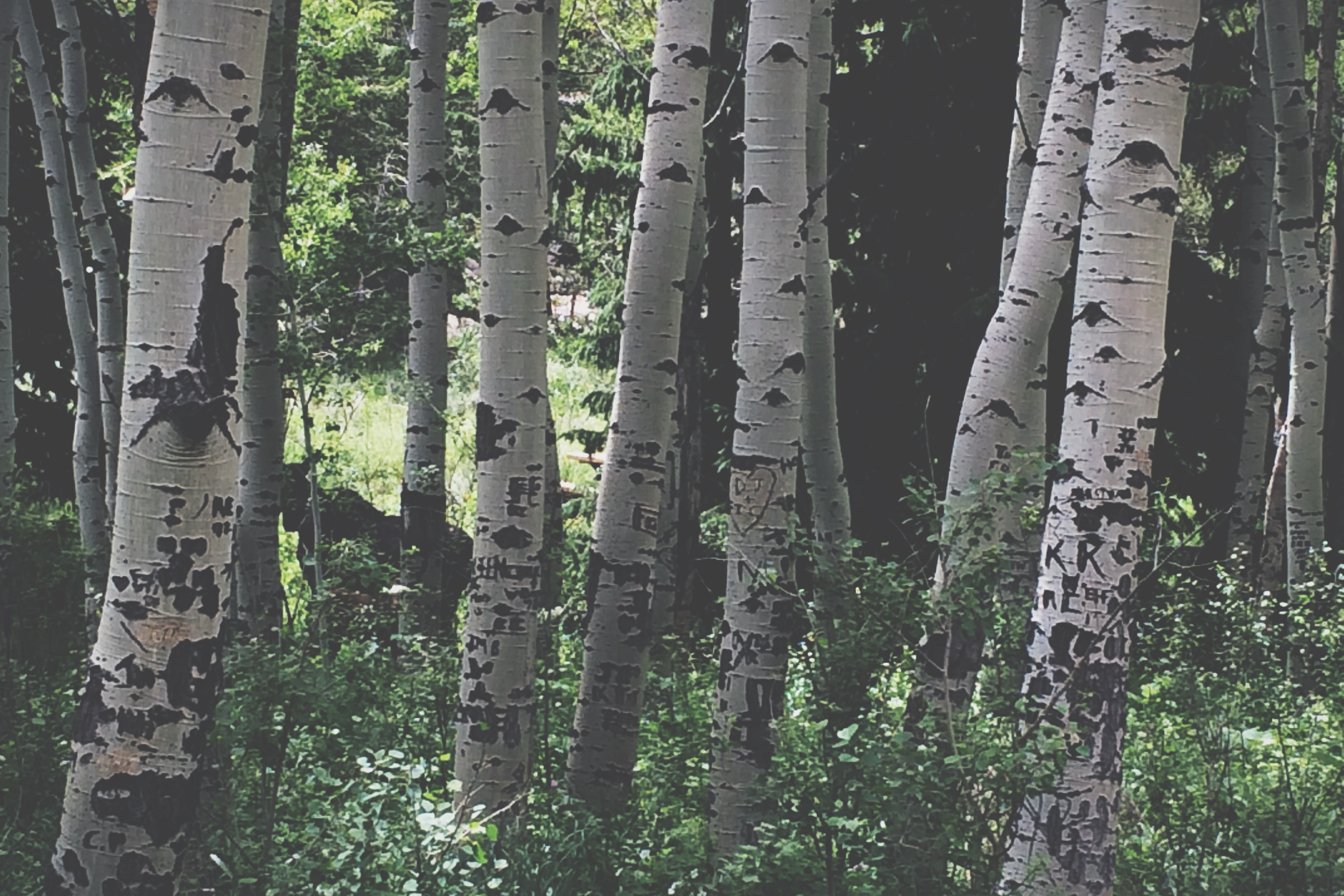
#singletrack #aspens
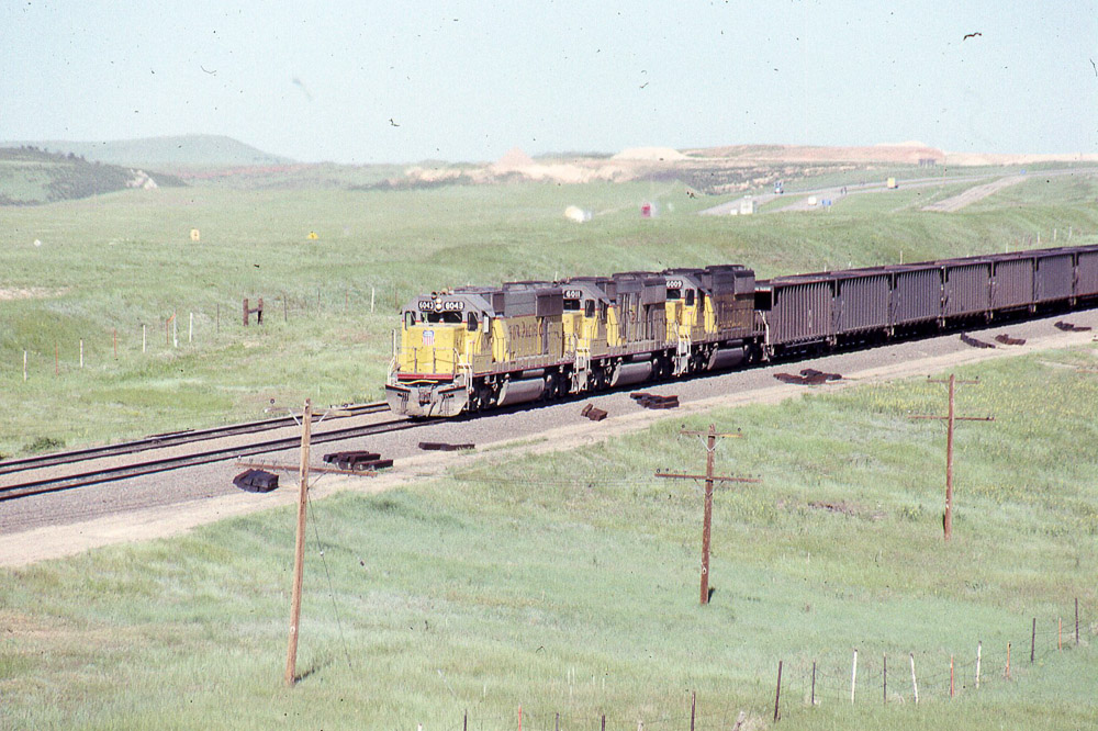
Union Pacific SD60 #6043 leads eastbound coal under the old US 30 overpass west of Cheyenne on 6/24/90.
Soapstone NA-56.jpg
They're big.
Topographic Map of I-80 Service Rd, Granite, WY, USA
Find elevation by address:

Places near I-80 Service Rd, Granite, WY, USA:
Granite
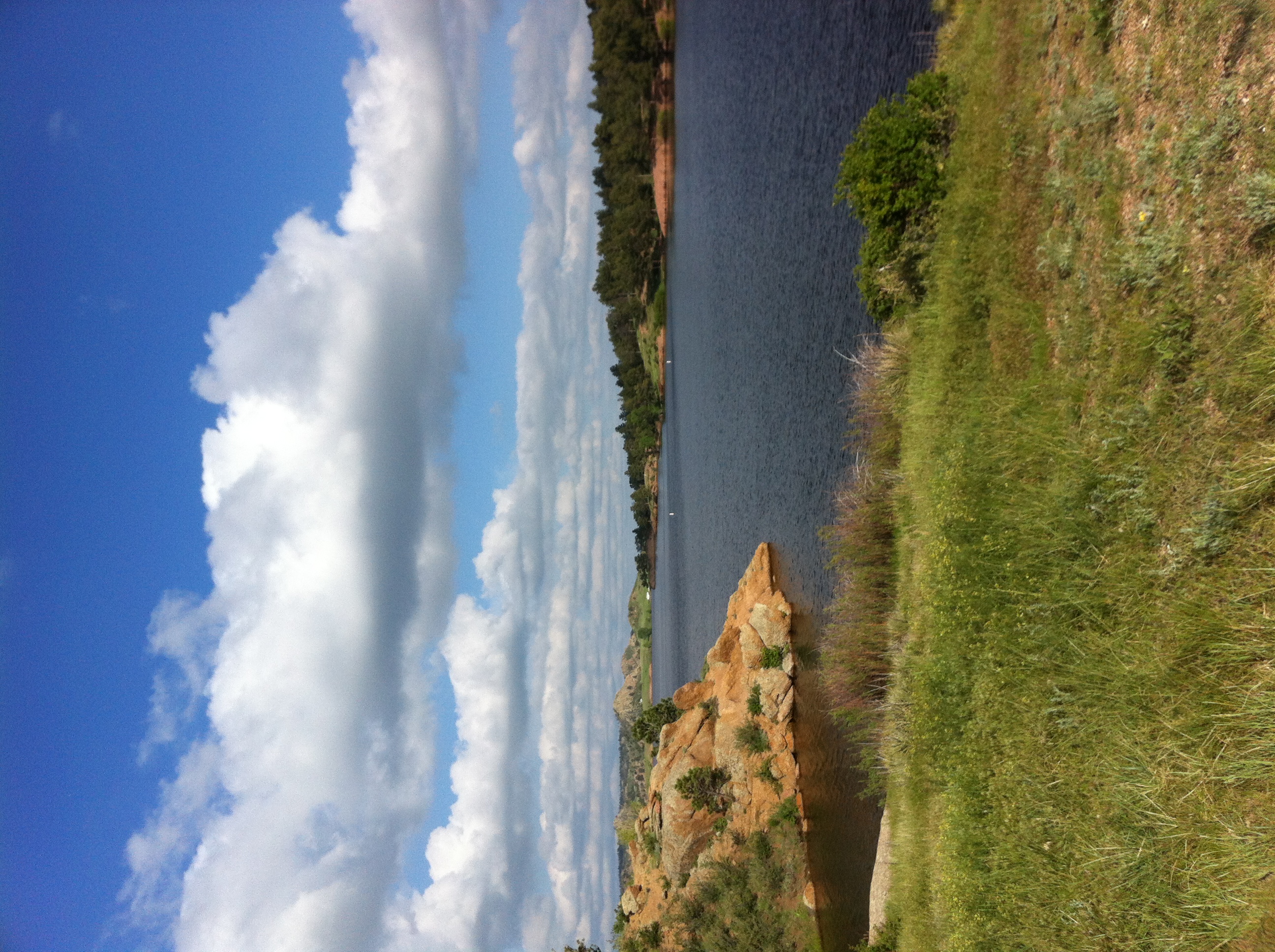
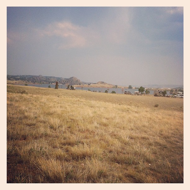
Curt Gowdy State Park
450 Happy Jack Rd
1114 Cole Rd
1234 Cole Rd
1341 Mahogany Ct
1775 Redbluff Rd
1761 Redbluff Rd
9 Rd 102
Buford
294 Buffalo Horn Rd
347 Moonshadow Rd
267 Granite Canyon Rd
1709 Shadow Valley Rd
1531 Otto Rd
260 Pristine Pines Ln
965 Granite Springs Rd
1942 Horse Creek Rd
Tree In The Rock, Historical Site
1519 Fire Rock Dr
Recent Searches:
- Elevation of Corso Fratelli Cairoli, 35, Macerata MC, Italy
- Elevation of Tallevast Rd, Sarasota, FL, USA
- Elevation of 4th St E, Sonoma, CA, USA
- Elevation of Black Hollow Rd, Pennsdale, PA, USA
- Elevation of Oakland Ave, Williamsport, PA, USA
- Elevation of Pedrógão Grande, Portugal
- Elevation of Klee Dr, Martinsburg, WV, USA
- Elevation of Via Roma, Pieranica CR, Italy
- Elevation of Tavkvetili Mountain, Georgia
- Elevation of Hartfords Bluff Cir, Mt Pleasant, SC, USA