Elevation of Granite, WY, USA
Location: United States > Wyoming > Laramie County >
Longitude: -105.15915
Latitude: 41.1001049
Elevation: 2229m / 7313feet
Barometric Pressure: 77KPa
Elevation Map:
Satellite Map:
Related Photos:

Where the Plains meet the Mountains

Tree Rock
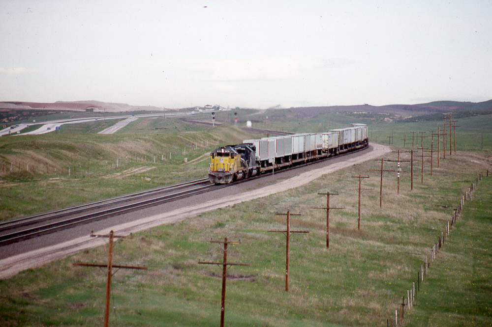
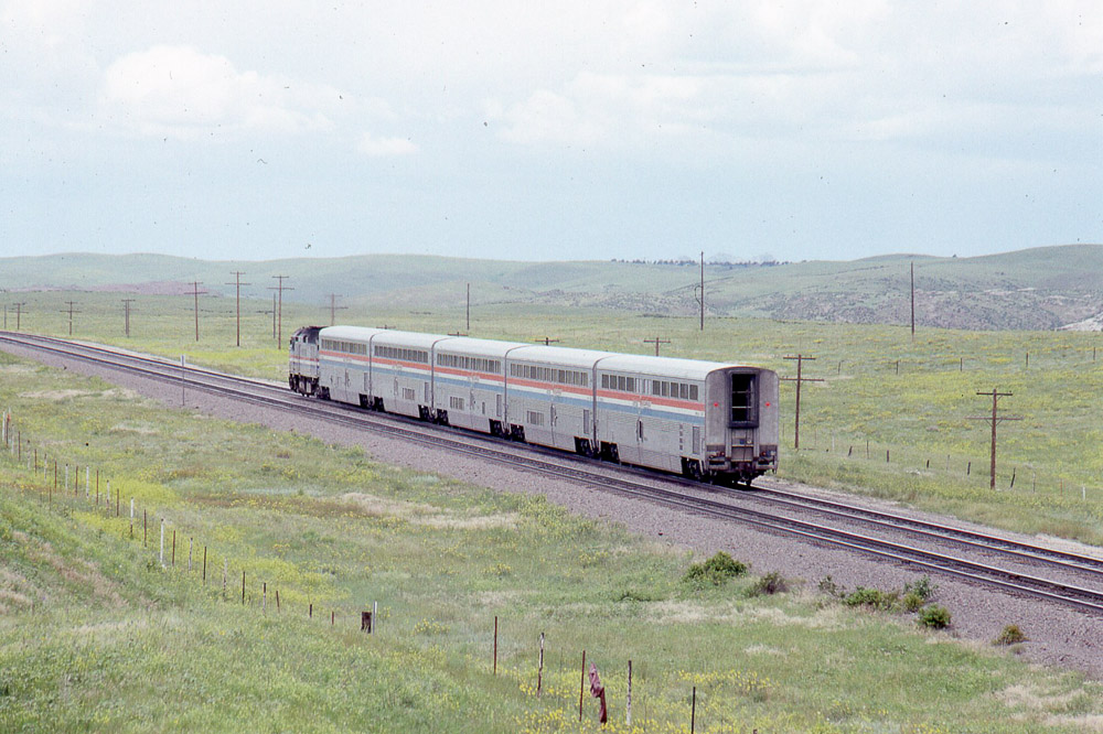
Eastbound Union Pacific SD40-2 #3636 from the US30 overpass west of Cheyenne WY on 5/29/87.

View from the old US 30 overpass on 5-28-87 looking railroad west. Great spot since torn down.
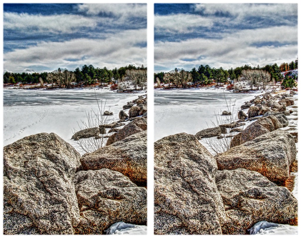
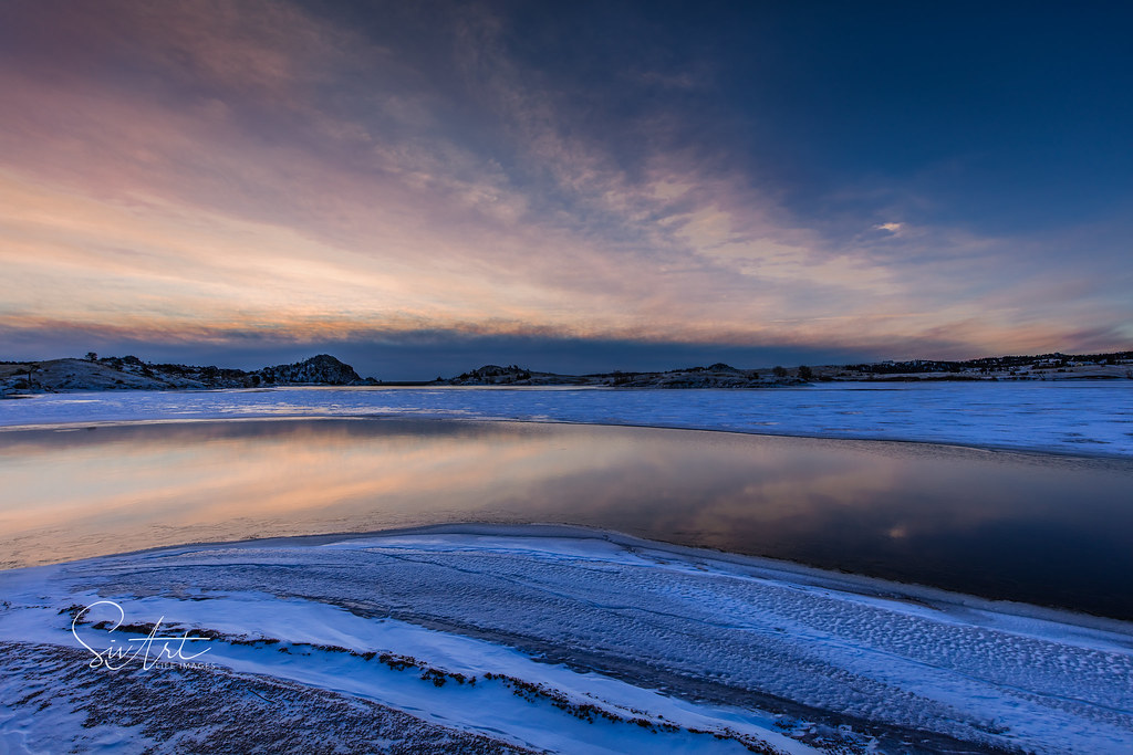
Frozen Shore

Frozen in

campsite view

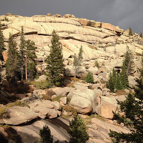
Curt Gowdy Formations 6

Curt Gowdy View

Curt Gowdy View
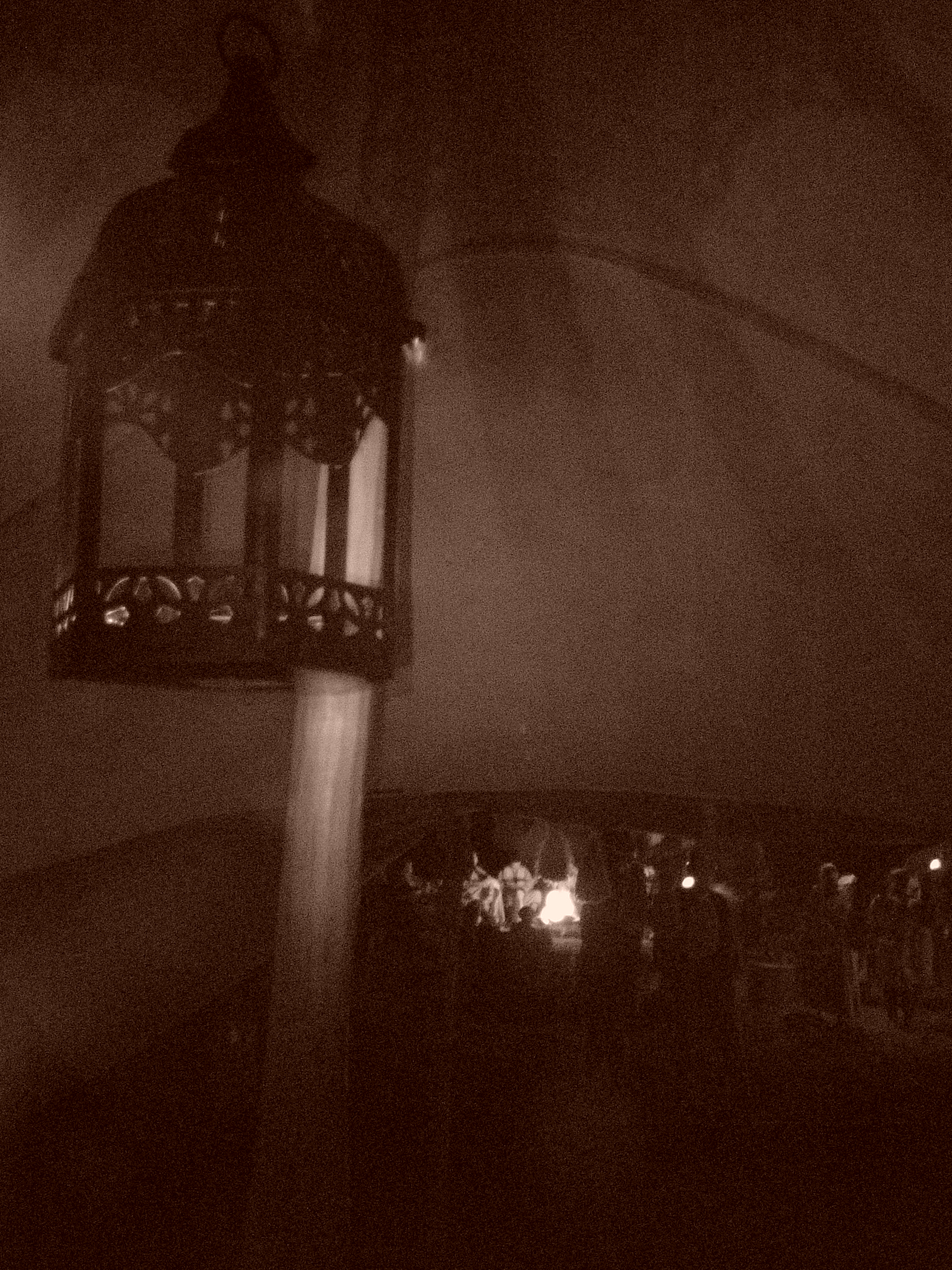
Bedouin Lantern
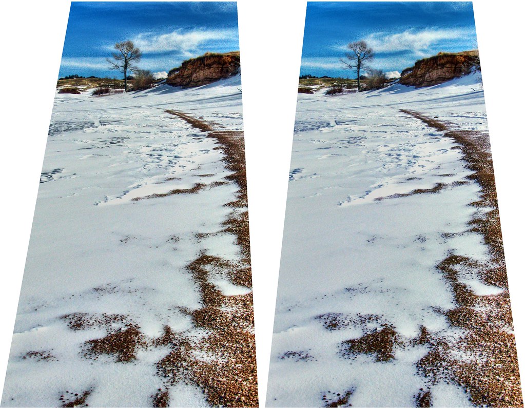
Frozen 2
Today's #picnic #view #1 #veedawoo #wyoming #igerswyoming

2nd #picnic #view of the day. #vedawoo #wyoming #MedicineBow #igerswyoming

The Road Less Traveled

Lone Tree

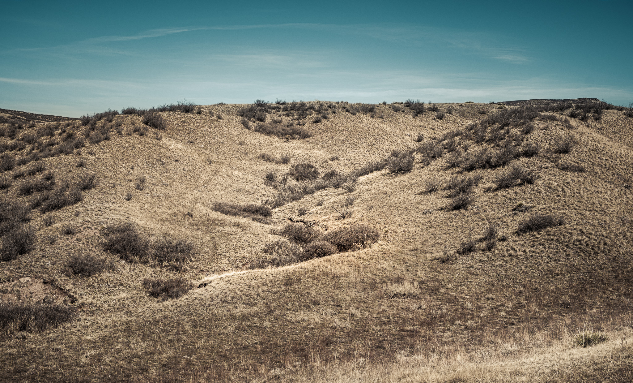
The Prairie

Above It All
Dry Gultch

Red Mountain Open Space

Harriman, WY

Double Tracks

UP, Buford, Wyoming, 1968
Sunrise at Curt Goudy

Reflection Peak
Amtrak F40PH #374 heading west leading the Pioneer under the old US30 overpass west of Cheyenne WY on 7/26/91

Crow Creek Falls

Union Pacific C40-8 #9103 near Cheyenne WY on 6-22-90

Union Pacific SD60 #6076 near Cheyenne WY on 6-22-90

From the old US30 overpass Union Pacific SD40-2 #3425 leads a westbound train under I-80 on 7-26-91.

Union Pacific SD40-2 #3387 from the US30 overpass on 5-29-87

Union Pacific C30-7 #2490 from the US30 overpass on 5-28-87

Union Pacific C30-7 #2510 heading west from the US 30 overpass near Cheyenne WY on 6-23-90
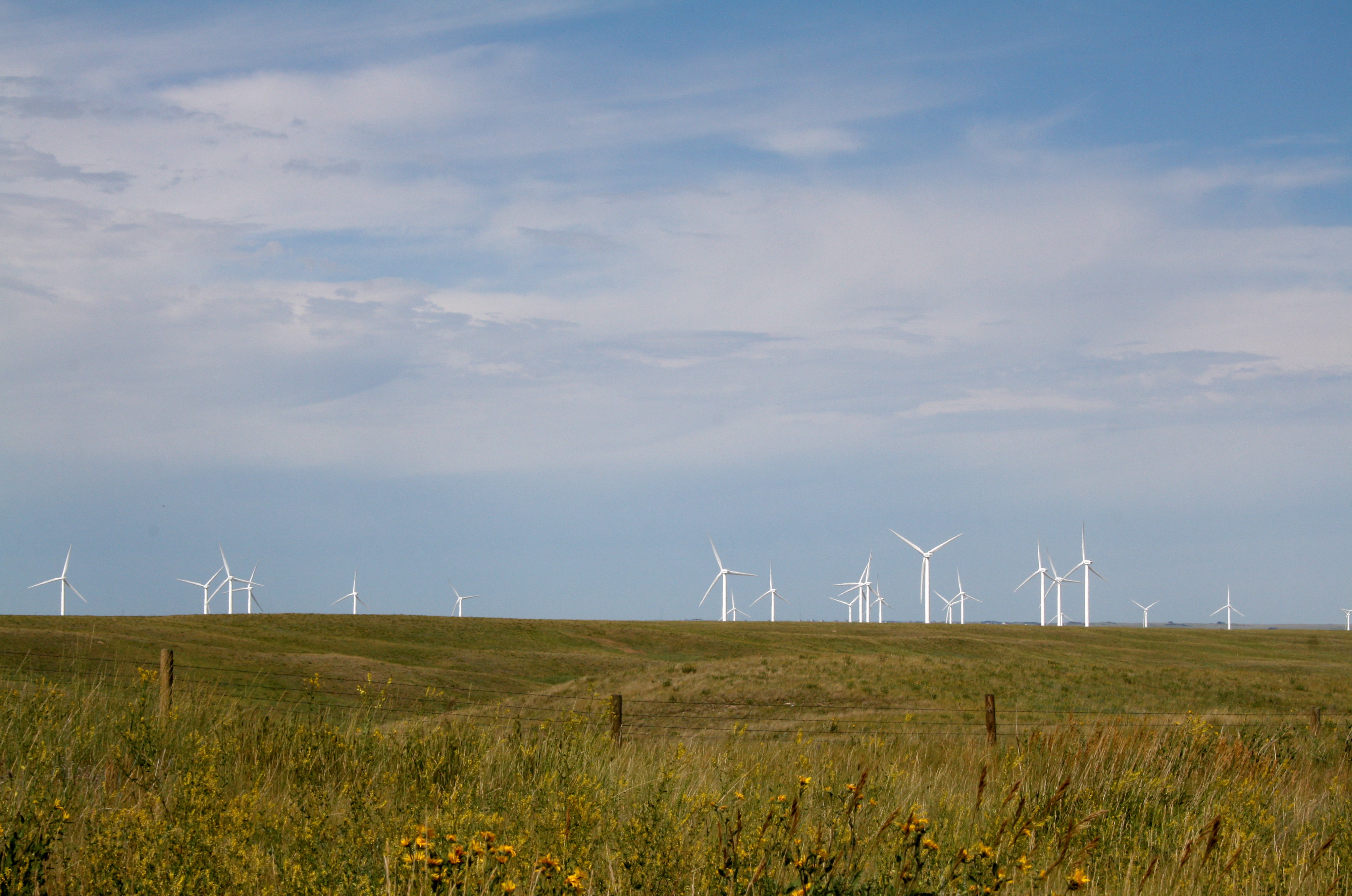
Wyoming Wind Energy
Topographic Map of Granite, WY, USA
Find elevation by address:

Places near Granite, WY, USA:
I-80 Service Rd, Granite, WY, USA
Curt Gowdy State Park
450 Happy Jack Rd
1114 Cole Rd
1341 Mahogany Ct
1234 Cole Rd
1775 Redbluff Rd
1761 Redbluff Rd
9 Rd 102
Buford
294 Buffalo Horn Rd
347 Moonshadow Rd
267 Granite Canyon Rd
1709 Shadow Valley Rd
1531 Otto Rd
260 Pristine Pines Ln
965 Granite Springs Rd
1942 Horse Creek Rd
Tree In The Rock, Historical Site
1519 Fire Rock Dr
Recent Searches:
- Elevation of Corso Fratelli Cairoli, 35, Macerata MC, Italy
- Elevation of Tallevast Rd, Sarasota, FL, USA
- Elevation of 4th St E, Sonoma, CA, USA
- Elevation of Black Hollow Rd, Pennsdale, PA, USA
- Elevation of Oakland Ave, Williamsport, PA, USA
- Elevation of Pedrógão Grande, Portugal
- Elevation of Klee Dr, Martinsburg, WV, USA
- Elevation of Via Roma, Pieranica CR, Italy
- Elevation of Tavkvetili Mountain, Georgia
- Elevation of Hartfords Bluff Cir, Mt Pleasant, SC, USA