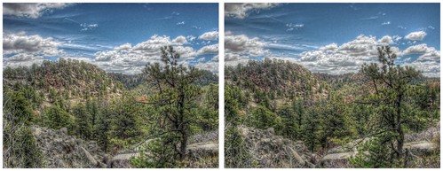
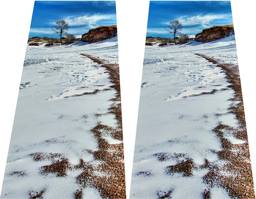
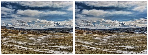
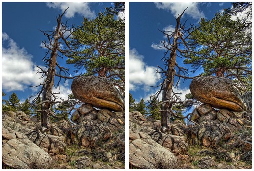
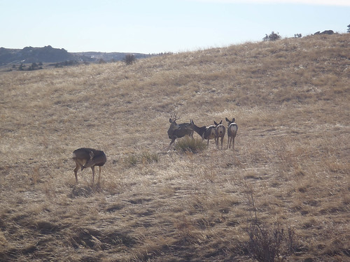
Elevation of Shadow Valley Rd, Cheyenne, WY, USA
Location: United States > Wyoming > Laramie County > Cheyenne >
Longitude: -105.10400
Latitude: 41.2513245
Elevation: -10000m / -32808feet
Barometric Pressure: 295KPa
Related Photos:
Topographic Map of Shadow Valley Rd, Cheyenne, WY, USA
Find elevation by address:

Places near Shadow Valley Rd, Cheyenne, WY, USA:
1942 Horse Creek Rd
1114 Cole Rd
1234 Cole Rd
1519 Fire Rock Dr
1850 Horse Creek Rd
1942 Horse Creek Rd
1937 Federer Rd
5600 Thunder Ridge Rd
Ridley Road
3805 Horse Creek Rd
Warren Air Force Base
5104 15th Cavalry Ave
316 W Idaho St
Central High School
3715 Snyder Ave
1016 W 28th St
822 W 23rd St
1131 Patio Dr
Cheyenne
Francis E. Warren AFB, WY, USA
Recent Searches:
- Elevation of Corso Fratelli Cairoli, 35, Macerata MC, Italy
- Elevation of Tallevast Rd, Sarasota, FL, USA
- Elevation of 4th St E, Sonoma, CA, USA
- Elevation of Black Hollow Rd, Pennsdale, PA, USA
- Elevation of Oakland Ave, Williamsport, PA, USA
- Elevation of Pedrógão Grande, Portugal
- Elevation of Klee Dr, Martinsburg, WV, USA
- Elevation of Via Roma, Pieranica CR, Italy
- Elevation of Tavkvetili Mountain, Georgia
- Elevation of Hartfords Bluff Cir, Mt Pleasant, SC, USA
