Elevation of Ranch Rd, Brooks, CA, USA
Location: United States > California > Yolo County > Brooks >

Longitude: -122.14315

Latitude: 38.742149

Elevation: 105m / 344feet

Barometric Pressure: 100KPa

Elevation Map:

elevation map of Ranch Rd, Brooks, CA, USA

Satellite Map:

Satellite map of Ranch Rd, Brooks, CA, USA

Related Photos:

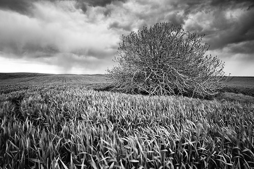
california sunset blackandwhite usa storm monochrome grass northerncalifornia clouds woodland landscape blackwhite spring sundown i5 farm country grain hills fields grasses thunderstorm rollinghills zamora reallyrightstuff rrs dunnigan ndfilter californialandscape landscapephotography esparto neutraldensity dunniganhills californiaphotography leefilters northerncalifornialandscape northerncaliforniaphotography ivansohrakoff
Spring Storm Gloom: Dunnigan Hills, California
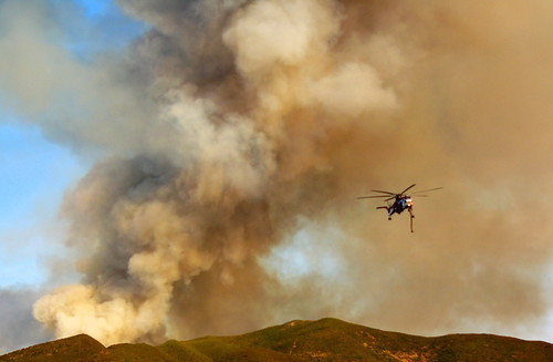
california lake fire skies aviation smoke firefighters yolocounty rumsey guinda lumixfz10helicopterrumseyfiresmokeviewsskycranecaliforniaskymountainsyolocountyskieshelicopetersfirefightersaviationguindalake helicopeters
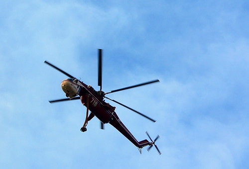
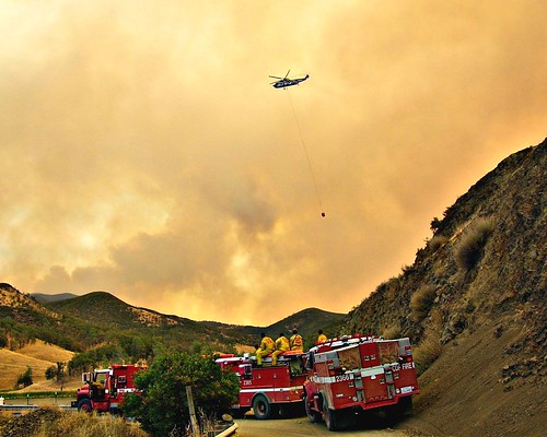
Helicopter Fighting The Rumsey Blaze
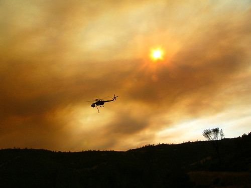
california lake fire skies aviation smoke firefighters yolocounty rumsey lumixfz10 guinda helicopeters helicoptersfirerumseyviewsmokecaliforniaskieshelicopetersfirefighters
Daylight Raids in the Smoke
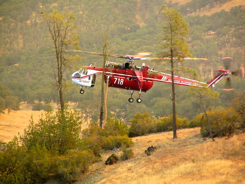
california lake fire skies aviation smoke firefighters yolocounty rumsey lumixfz10 guinda viewhelicopterfirerumseyhelicopterscaliforniaskycountyoflakeartsmokeairtankeraviationskieshelicopetersfirefighters helicopeters
Drinking Among The Trees To Fight Fires
california lake fire skies aviation smoke firefighters yolocounty rumsey lumixfz10 guinda helicopeters helicopterrumseyfireviewssmokecaliforniaviewhelicoptersnaturemountainsroadskycanyonmountainyolocountyskieshelicopetersfirefightersaviationguindalake
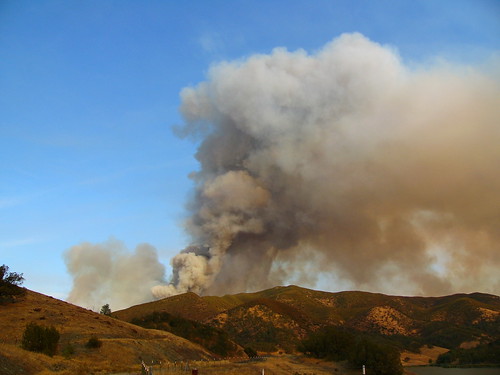
The Immense Fire At Rumsey
california lake fire skies aviation smoke firefighters yolocounty rumsey lumixfz10 guinda helicopterrumseyfirecaliforniaviewskymountainsfirefighterswateryolocountysmokeskieshelicopetersaviationguindalake helicopeters
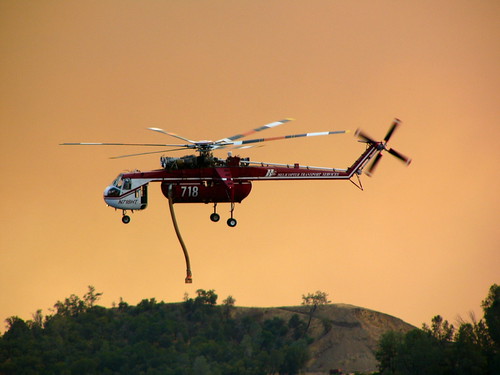
Saviour of the Rumsey Fire
california lake fire skies aviation smoke firefighters yolocounty rumsey lumixfz10 guinda helicopeters rumseyfirehelicoptersskyviewcaliforniasmokeskieshelicopetersfirefightersaviationguindalake
At Work Against The Rumsey Fire
california lake fire skies aviation smoke firefighters yolocounty rumsey lumixfz10 guinda viewhelicoptercrewsrumseyfirecaliforniasmokeskieshelicopetersfirefighterssantarosapressdemocratstringeraviation helicopeters
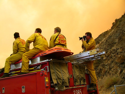
Detail of the Crew
food farming fiddlersgreen organicfarm capayvalley nortwesternyolocounty
IMG_1193_View from the second floor
Lunch at the winery
california lake fire skies aviation smoke firefighters yolocounty rumsey lumixfz10 guinda helicopeters helicopterrumseyfirecaliforniaviewskyskycraneyolocountysmokeskieshelicopetersfirefightersaviationguindalake
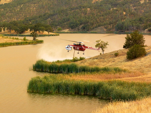
Copter Ready For a Drink
food farming fiddlersgreen organicfarm capayvalley nortwesternyolocounty
IMG_1195_View from the second floor
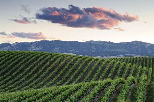
california pink blue winter sky mountain cold green fall nature colors beauty field grass fruit rural sunrise season landscape countryside daylight vineyard branch wine farm background country scenic vine scene row hills winery clear rows valley agriculture grape tranquil grapevine dormant cultivated dunnigan yolo
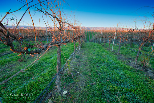
Dormant vinyard at R.H. Phillips winery in the Dunnigan Hills
california lake fire skies aviation smoke firefighters yolocounty rumsey lumixfz10 guinda helicopeters helicopterrumseyfireviewscrewscaliforniayolocountysmokeskieshelicopetersfirefightersaviationguindalake
Crews waiting to relieve the Fire Fighters, Rumsey Fire
california lake fire skies aviation smoke firefighters yolocounty rumsey lumixfz10 guinda helicopeters helicopterrumseyfireviewcaliforniacranecranehelicopterwatertreessmokeskieshelicopetersfirefightersaviation
Beauty in Lake County Firefighting
california lake fire skies aviation smoke firefighters yolocounty rumsey lumixfz10 guinda helicopeters helicopterrumseyfirewatercaliforniaviewsmokeskieshelicopetersfirefightersguindaaviation
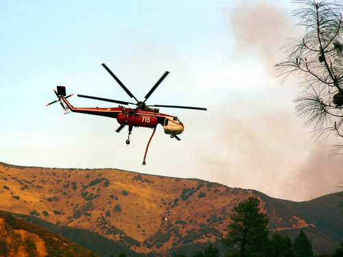
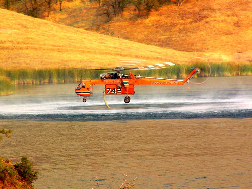
Drinking Up for Firefighting
lakeberryessa napacounty berryessaknoxvilleroad
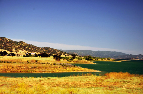
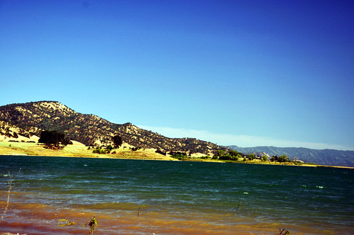
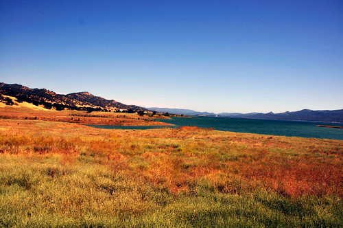
Lake Berryessa from the North
california sunset clouds woodland landscape vines grapes rollinghills yolocounty pinkclouds toastedhead grapevines landscapephotography winegrapes esparto rhphillips californiavineyards dunniganhills rhphillipswinery northerncalifornialandscape californiagrapes californiagrapevines californialandscapephotography ivansohrakoff dunniganhillsava dunniganhillsappellation rollingvineyards rollinggrapevines toastedheadwinery
The Green Sea: Dunnigan Hills, California
5o5 rolling
lakeberryessa napacounty berryessaknoxvilleroad
Lake Berryessa from the North
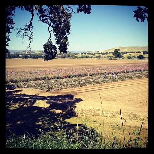
square squareformat iphoneography instagramapp xproii uploaded:by=instagram foursquare:venue=4bc0aa5a74a9a5932f63d0f6
Sweet peas. Farm Fresh to You. Bottom Dwellers at 12:30.
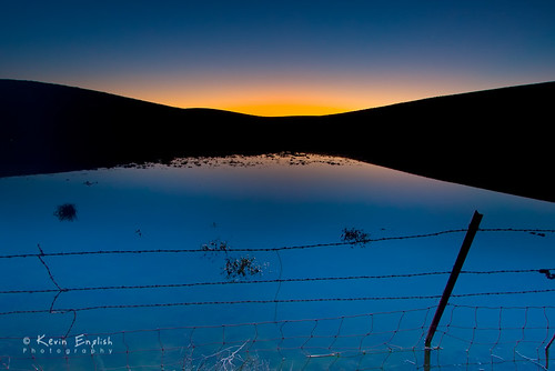
california morning blue light sunset summer sky orange sun sunlight color reflection nature water beautiful beauty silhouette yellow night sunrise dark landscape outdoors mirror pond wire alone peace outdoor dusk farm background peaceful scene calm farmland hills land colored barbed tranquil dunnigan blackcard yolo
Dawn in the Dunnigan Hills
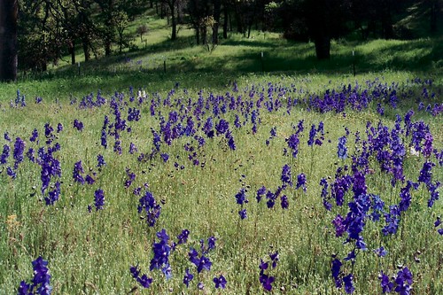
california flowers flower
a2005-05-08
4wd napacounty berryessaknoxvilleroad
Oak chapparal, north of Lake Berryessa
Things are Looking Up!
lakeberryessa napacounty berryessaknoxvilleroad
Lake Berryessa from the North
food farming fiddlersgreen organicfarm capayvalley nortwesternyolocounty
IMG_1343_Field with background hills
4wd napacounty berryessaknoxvilleroad
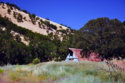
Barn and Oak Chapparal
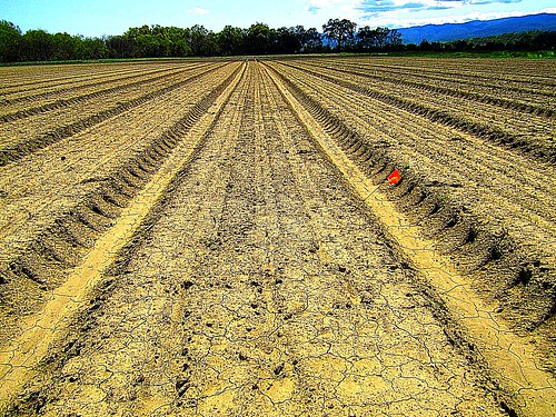
Crop in the Field
california winter landscape outdoor forests yolo
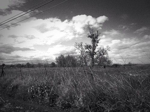
Yolo County Oak in B&W 2012-12-11
guindaca uploaded:by=flickrmobile flickriosapp:filter=nofilter
Organic farmland
WP_20140802_12_24_41_Pro.jpg
trees fog landscape oak schoolhouse capayvalley
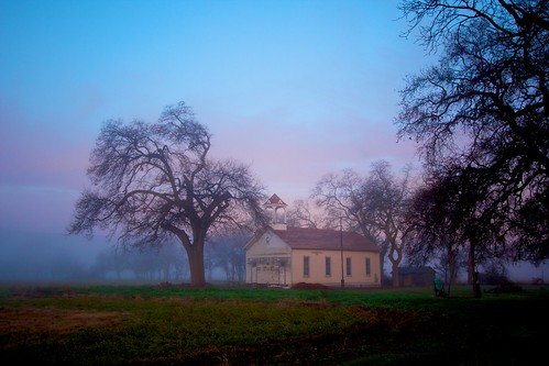
Capay Valley Schoolhouse
uploaded:by=flickrmobile flickriosapp:filter=nofilter
MONW 2
california flowers flower
a2005-05-03