Elevation of Rumsey, CA, USA
Location: United States > California > Yolo County >
Longitude: -122.23747
Latitude: 38.8882322
Elevation: 128m / 420feet
Barometric Pressure: 100KPa
Elevation Map:
Satellite Map:
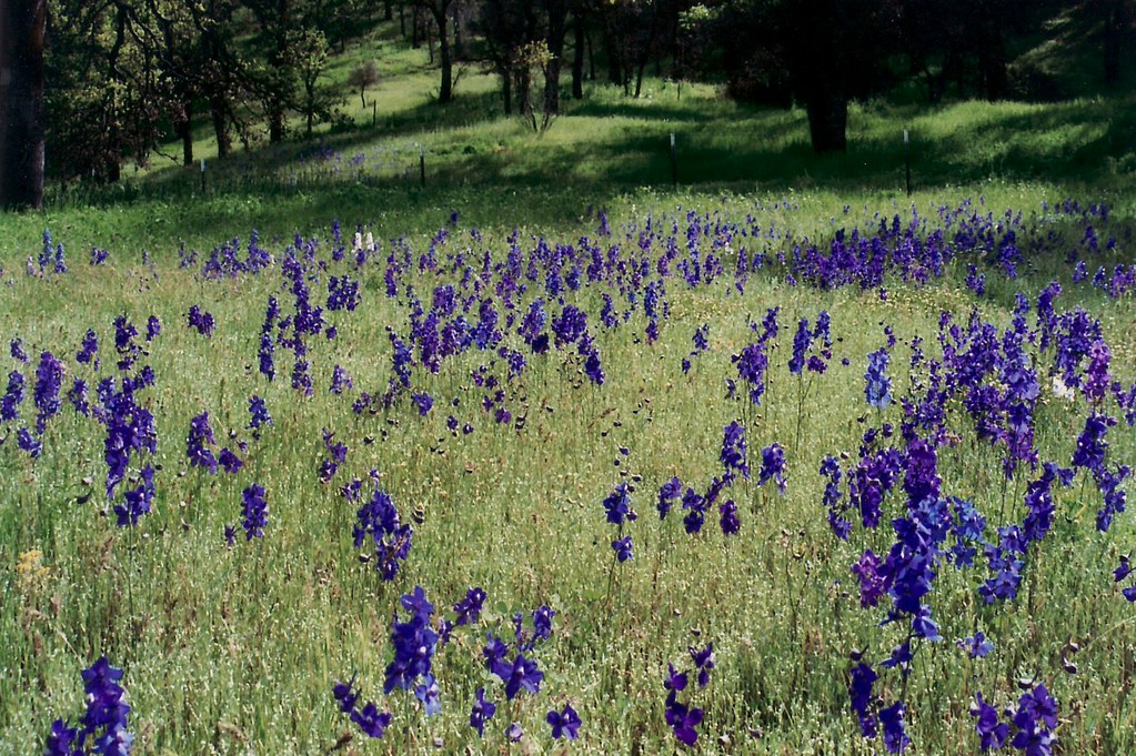
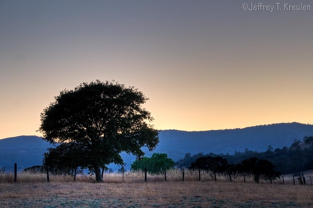
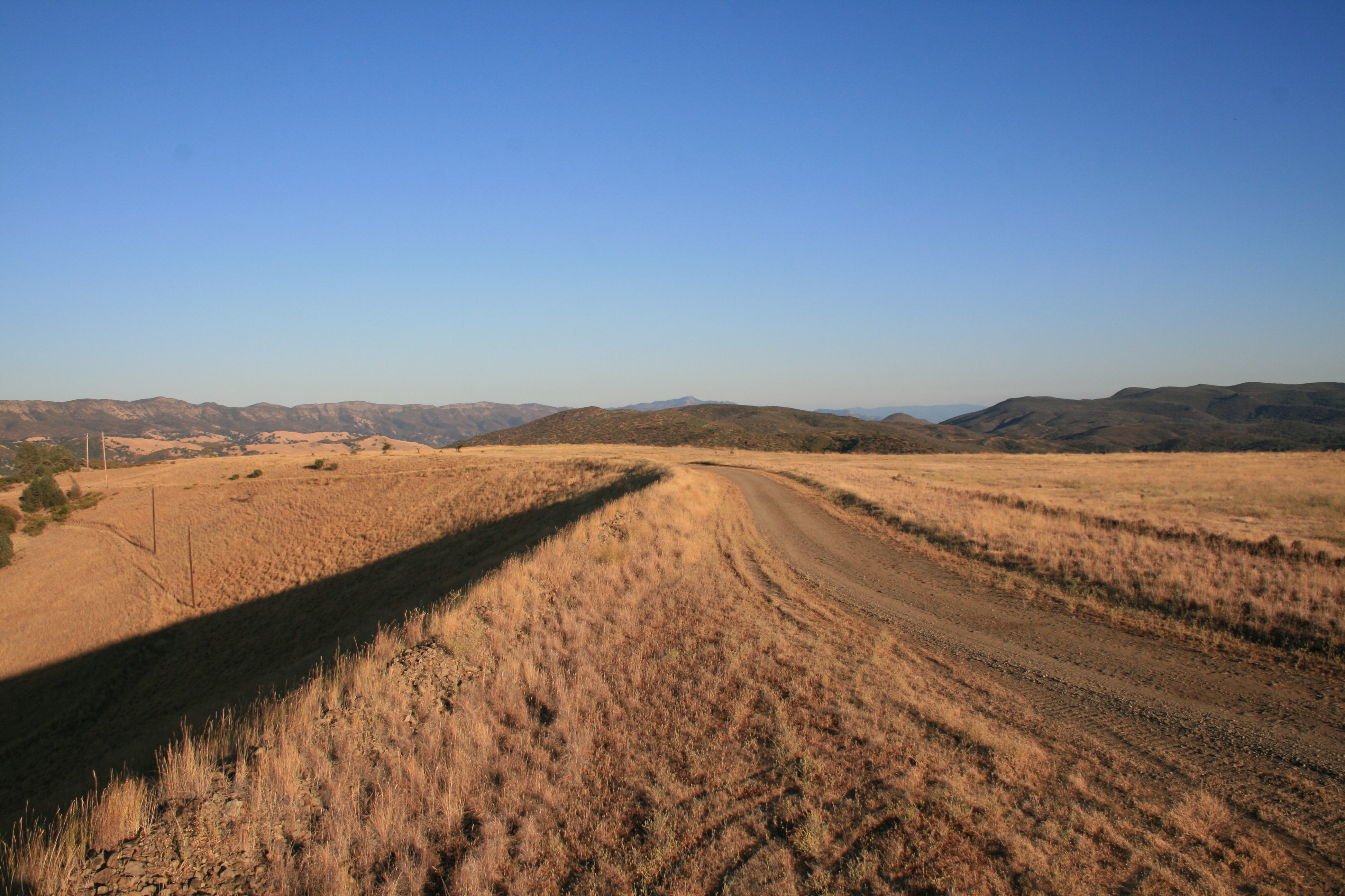
Related Photos:
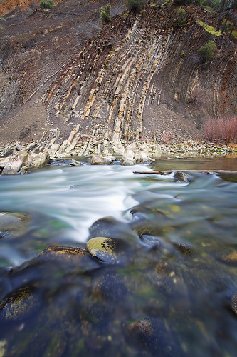
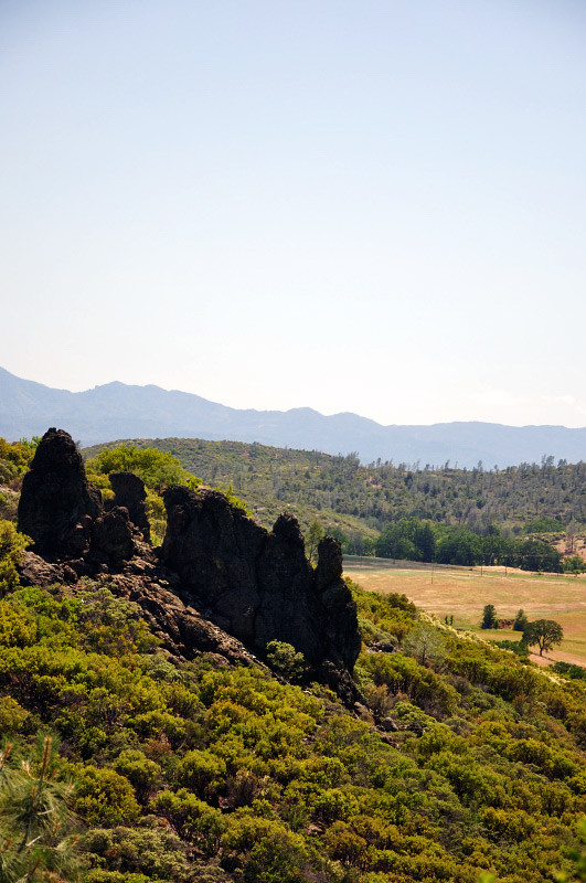
Vertical Geology: Cache Creek Canyon, California
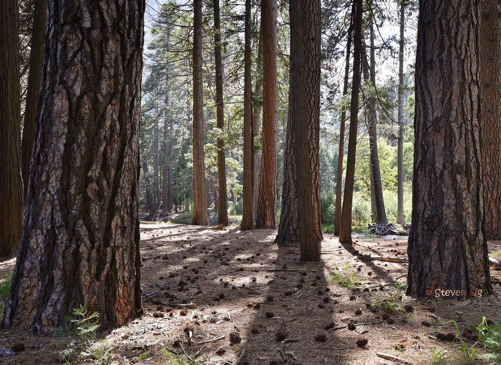
Mariposa pine tree forest. Yosemite
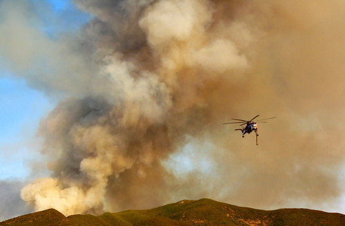
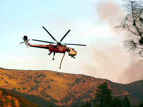
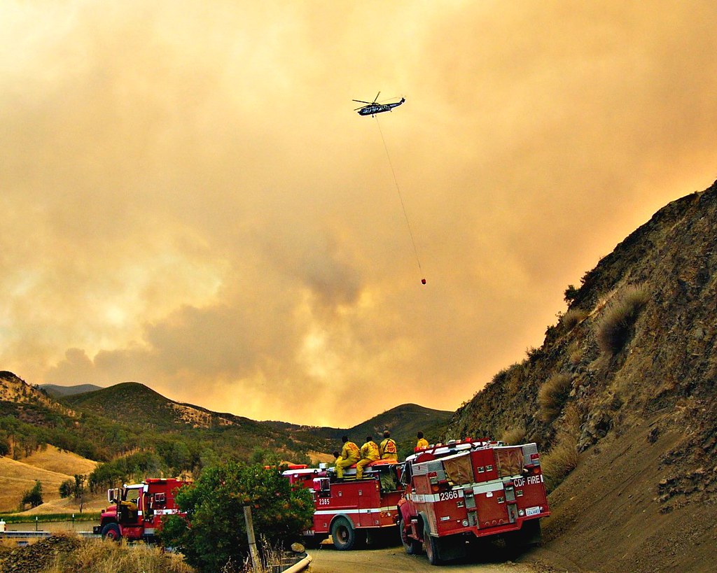
Helicopter Fighting The Rumsey Blaze
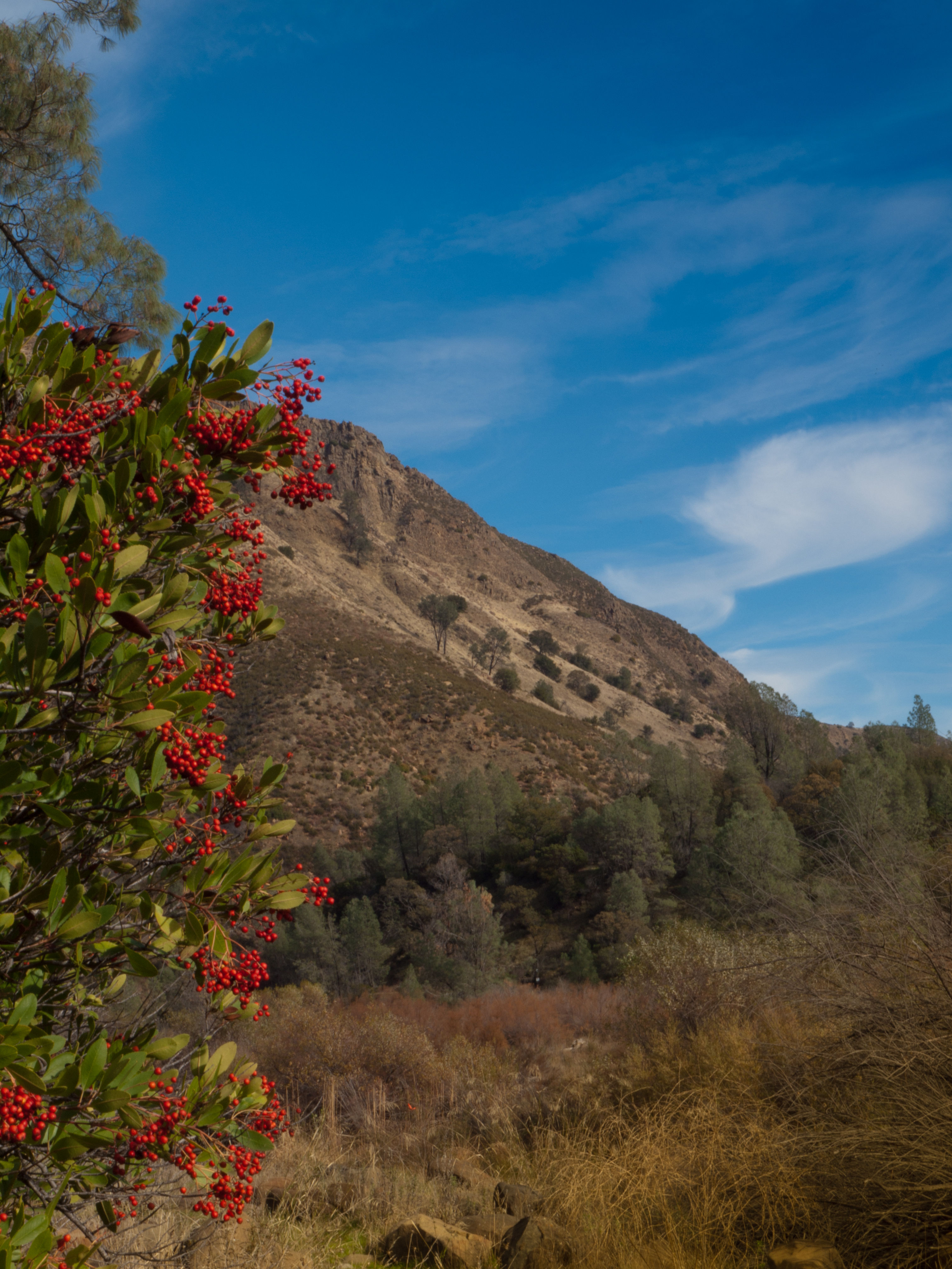
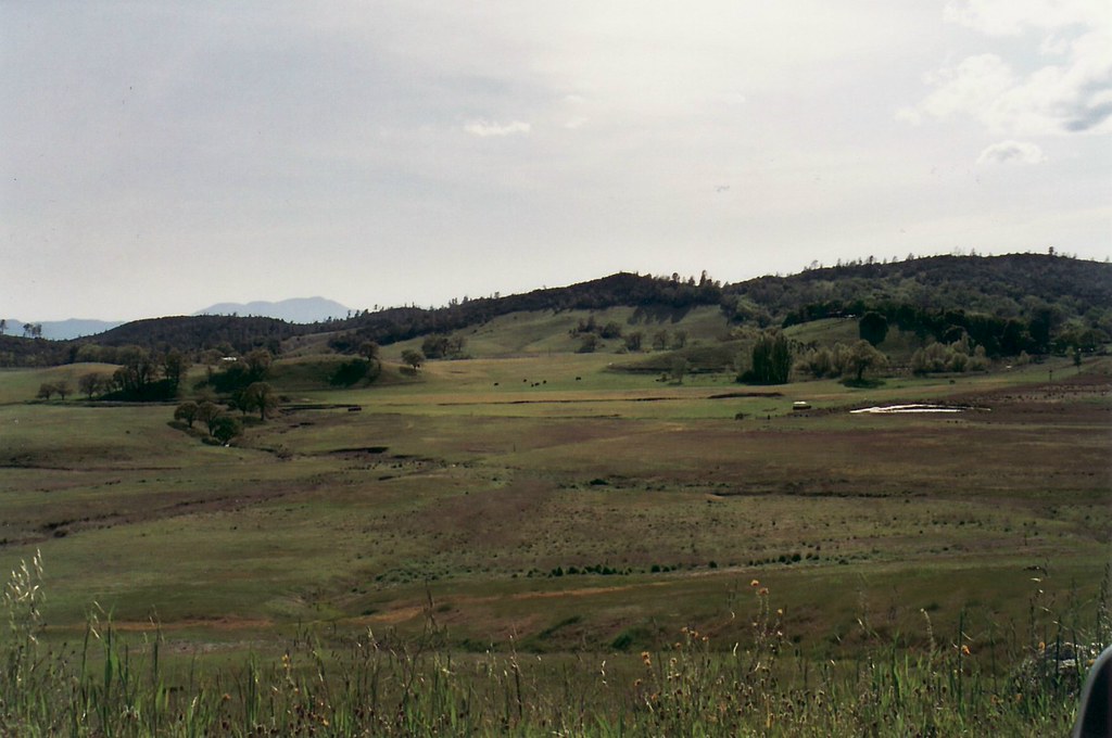
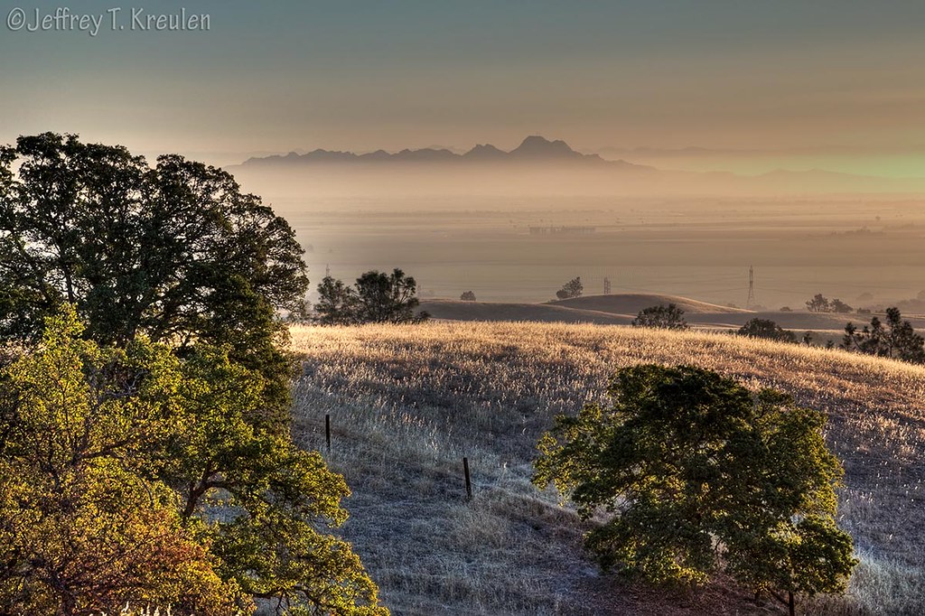
View of Bear Valley, California
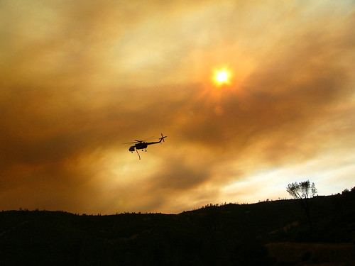
Daylight Raids in the Smoke
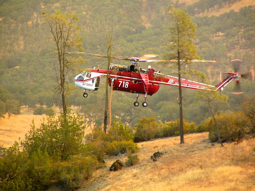
Drinking Among The Trees To Fight Fires
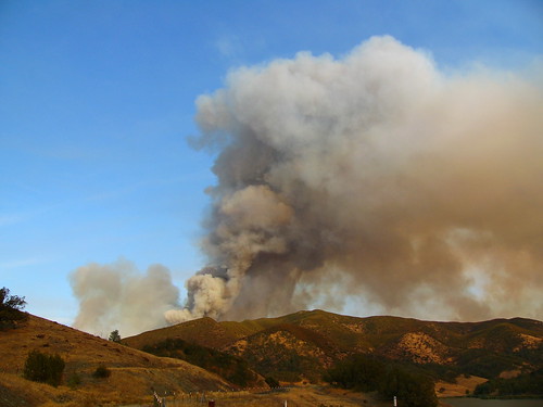
The Immense Fire At Rumsey
Saviour of the Rumsey Fire
At Work Against The Rumsey Fire

Detail of the Crew

Night Sky
IMG_1193_View from the second floor

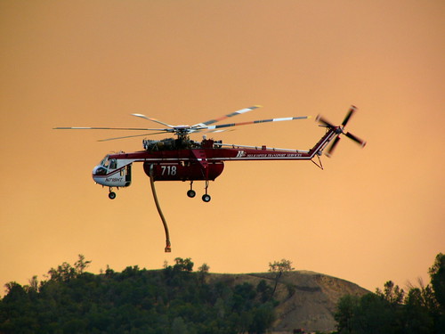
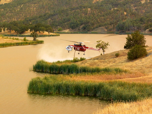
Copter Ready For a Drink
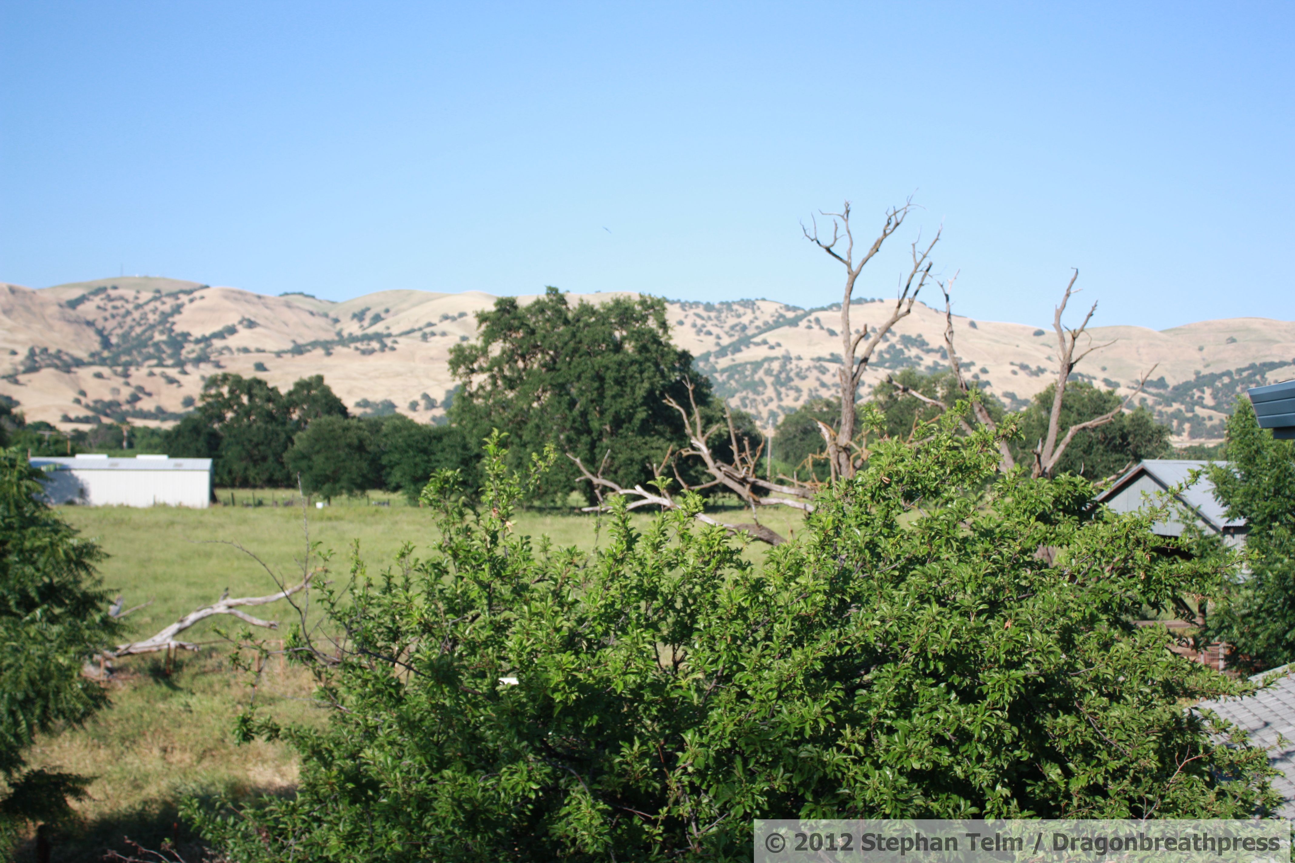
IMG_1195_View from the second floor

0243 SE view 21Sept

0242 E view 21Sept
a2005-05-11
View from Reiff Road looking southeast
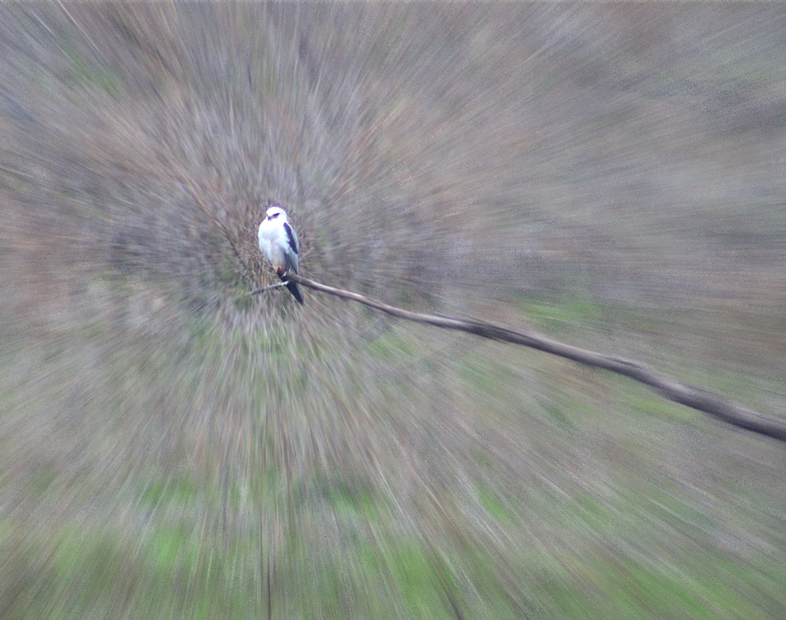
mouse-eye view of a White-Tailed Kite
Crews waiting to relieve the Fire Fighters, Rumsey Fire
Beauty in Lake County Firefighting

Colusa County Sunrise

Ranch Road Sunrise
Sutter Buttes Sunrise
Picture 153
Picture 157

Light Painting
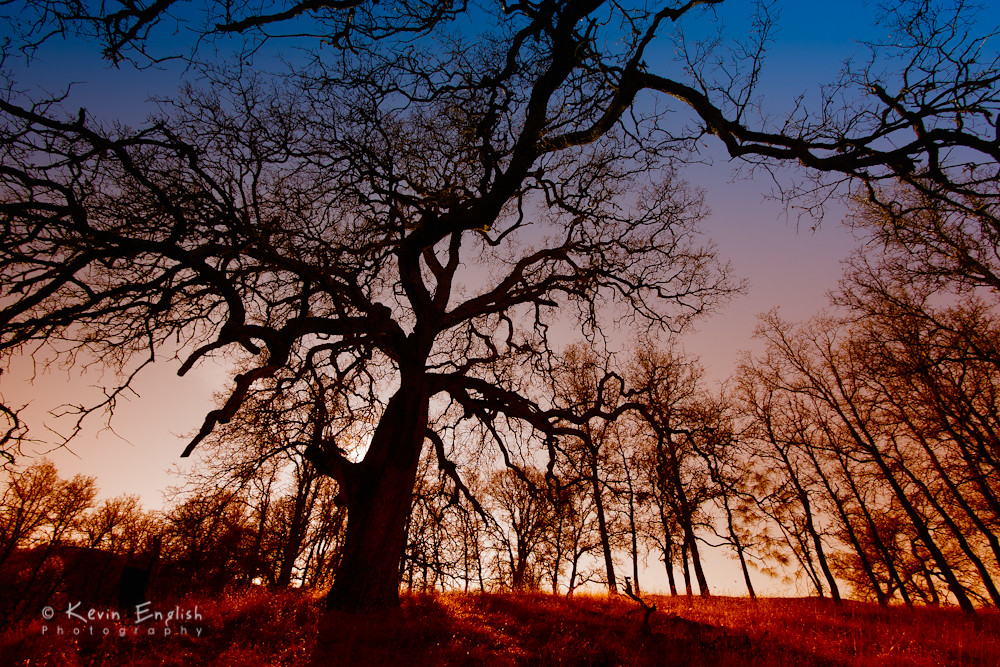
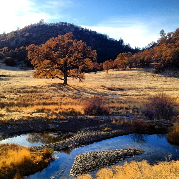
In the land of Oaks
a2005-05-08
Rancheria Sunset
Picture 154
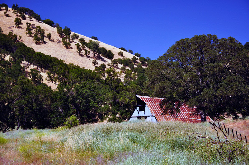
Barn and Oak Chapparal

_9100029.NEF
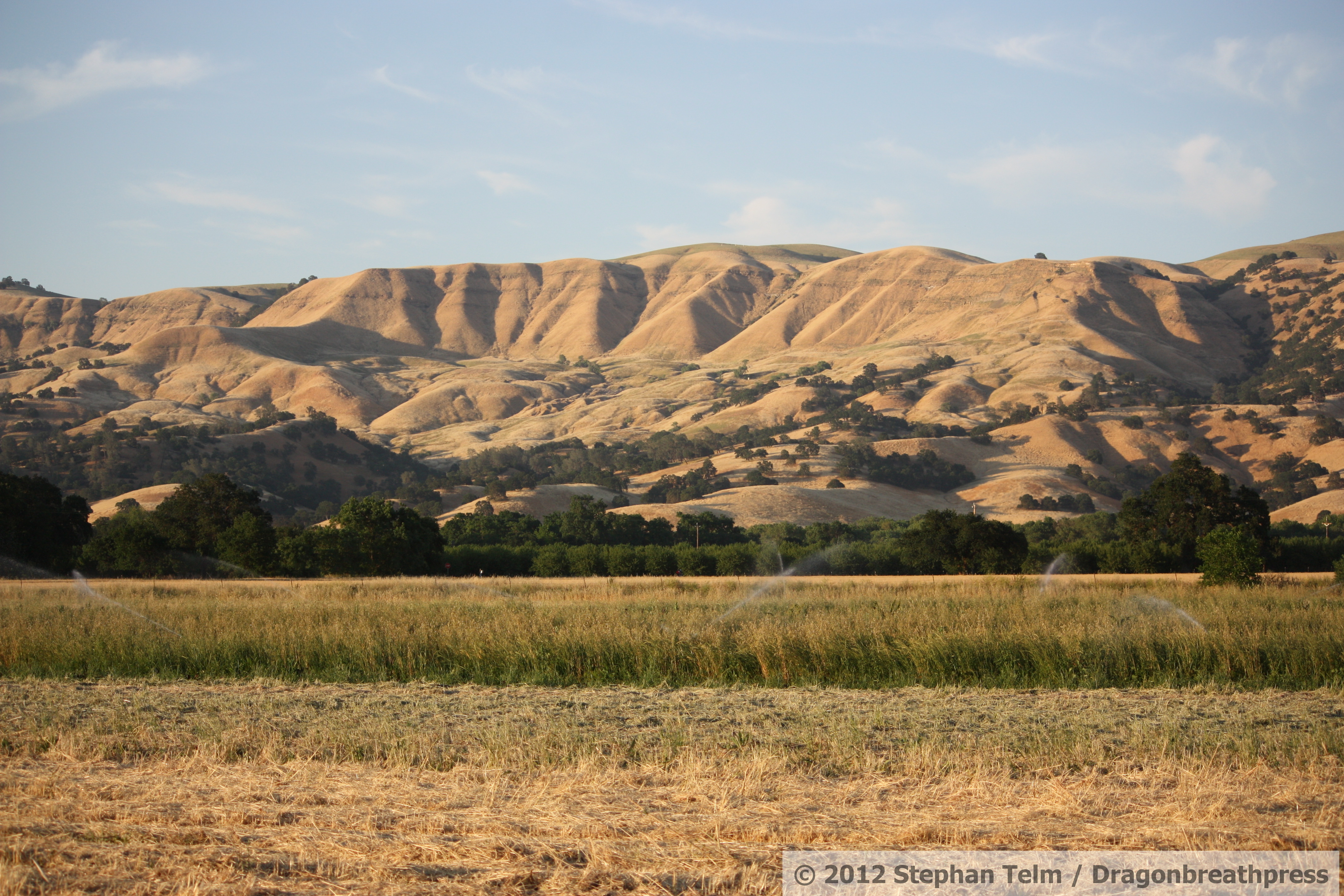
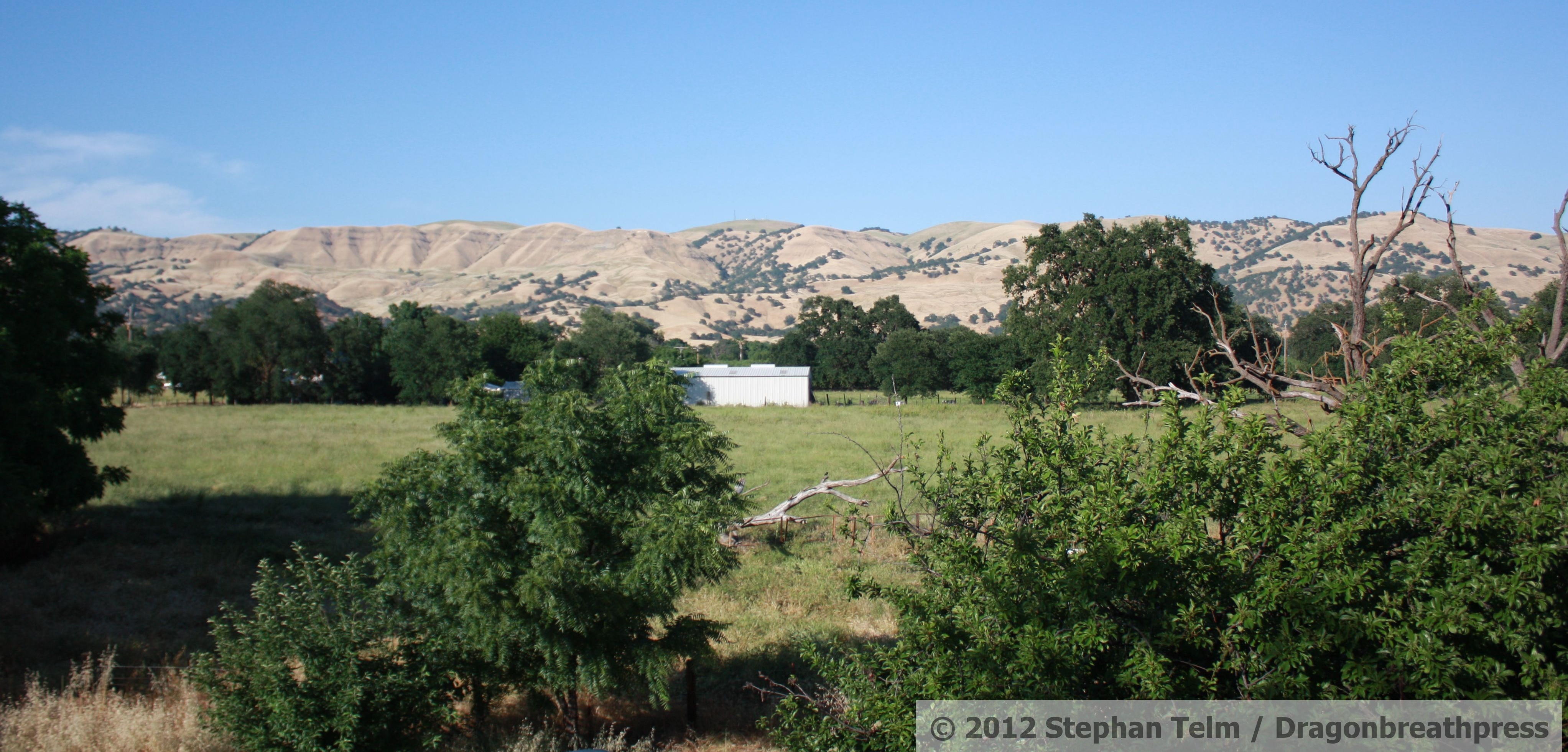
IMG_1343_Field with background hills
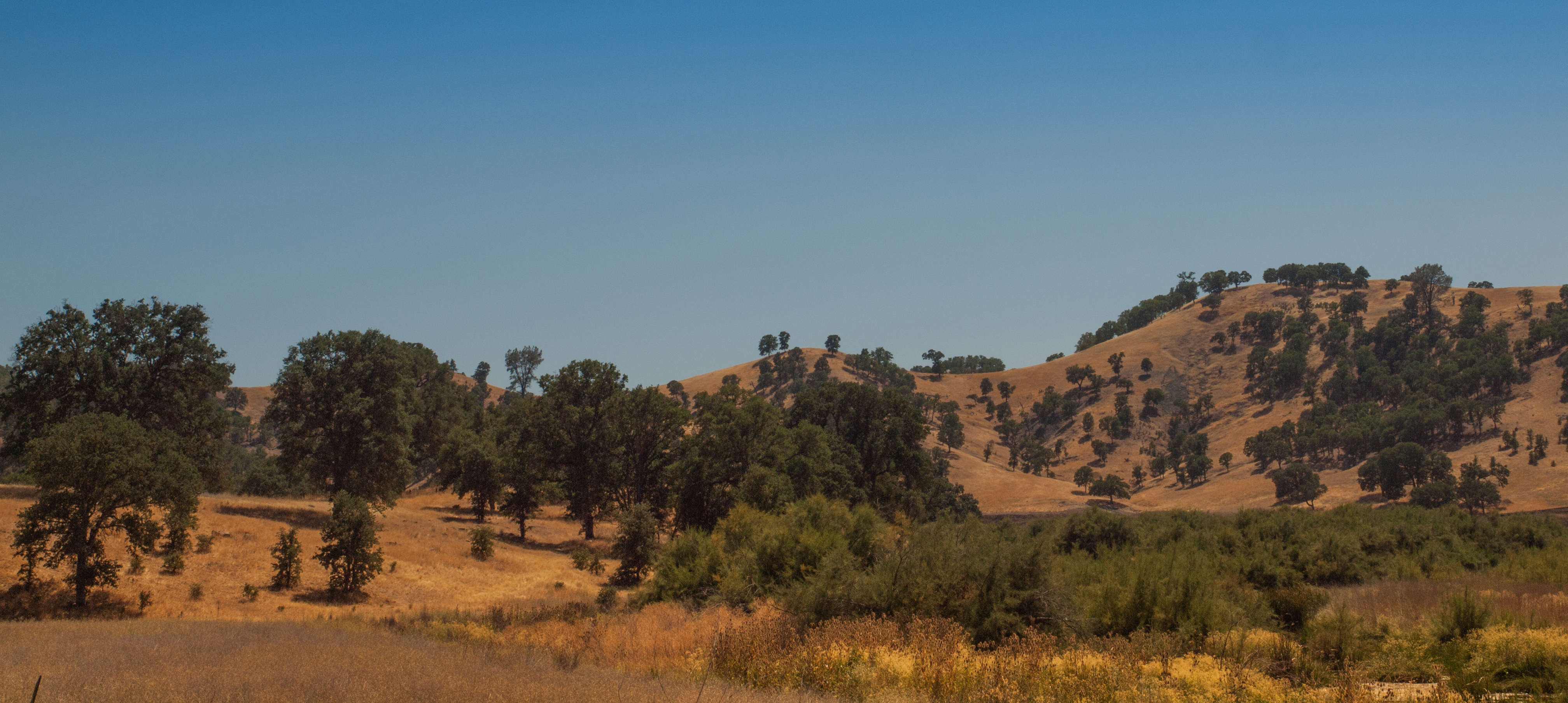
California landscape
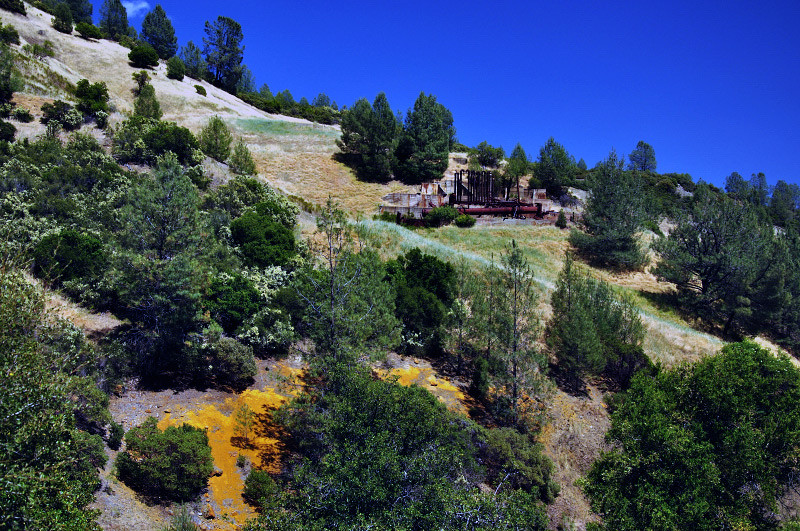
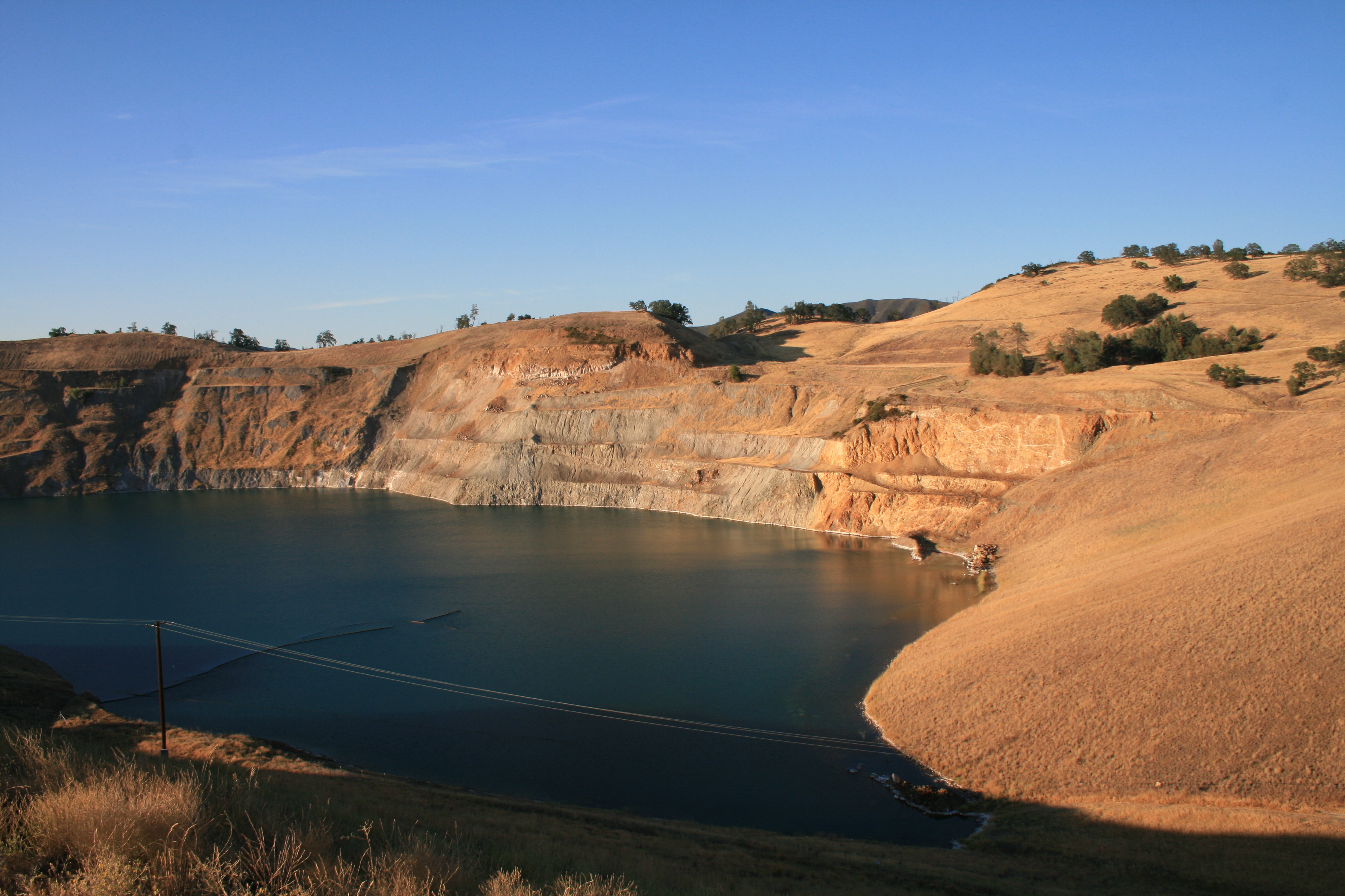
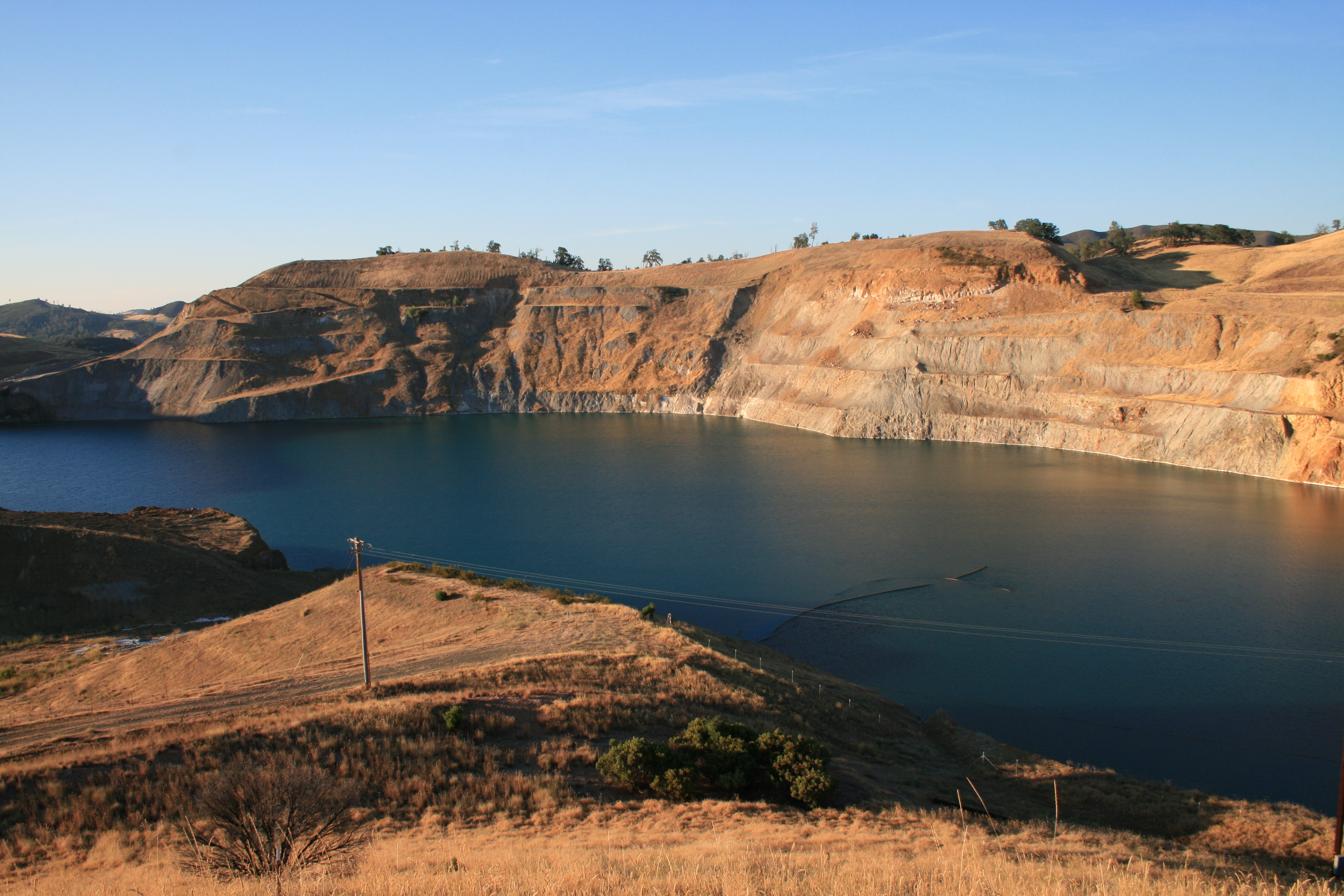
Mining Remnants
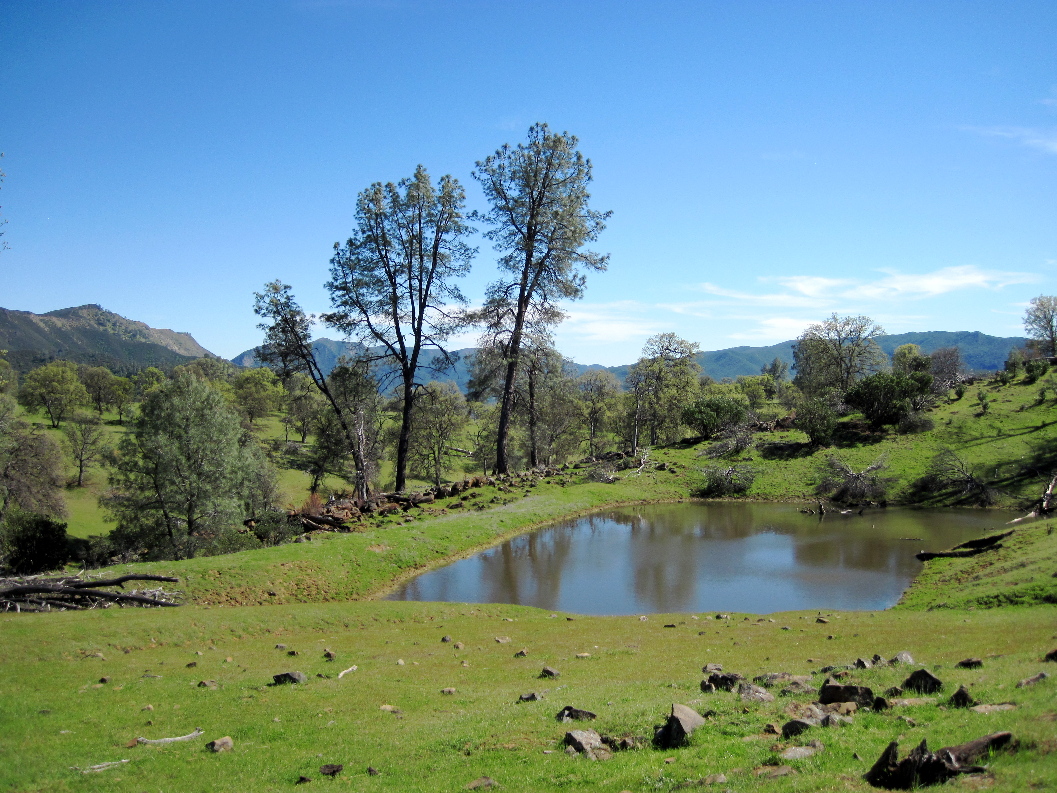
Pond near High Bridge trail
Bear Creek, Hwy 16, Colusa County, CA. 1 Dec 2013.

Yolo County Orchard 2012-12-11

near sunset
Topographic Map of Rumsey, CA, USA
Find elevation by address:

Places in Rumsey, CA, USA:
Places near Rumsey, CA, USA:
Manzanita St, Rumsey, CA, USA
CA-16, Capay, CA, USA
Brooks
Ranch Rd, Brooks, CA, USA
14455 Ca-16
Colusa County
1832 Cortina School Rd
5th St, Arbuckle, CA, USA
Arbuckle
CR 99W, Dunnigan, CA, USA
6247 Myers Rd
7th St, Arbuckle, CA, USA
Capay
17977 Co Hwy E4
Main St, Capay, CA, USA
State Hwy 20, Williams, CA, USA
Putah Canyon Campground
Dunnigan
Lake Berryessa
Williams
Recent Searches:
- Elevation of Corso Fratelli Cairoli, 35, Macerata MC, Italy
- Elevation of Tallevast Rd, Sarasota, FL, USA
- Elevation of 4th St E, Sonoma, CA, USA
- Elevation of Black Hollow Rd, Pennsdale, PA, USA
- Elevation of Oakland Ave, Williamsport, PA, USA
- Elevation of Pedrógão Grande, Portugal
- Elevation of Klee Dr, Martinsburg, WV, USA
- Elevation of Via Roma, Pieranica CR, Italy
- Elevation of Tavkvetili Mountain, Georgia
- Elevation of Hartfords Bluff Cir, Mt Pleasant, SC, USA