Elevation of Madison, CA, USA
Location: United States > California > Yolo County >
Longitude: -121.96830
Latitude: 38.6793483
Elevation: 45m / 148feet
Barometric Pressure: 101KPa
Elevation Map:
Satellite Map:
Related Photos:
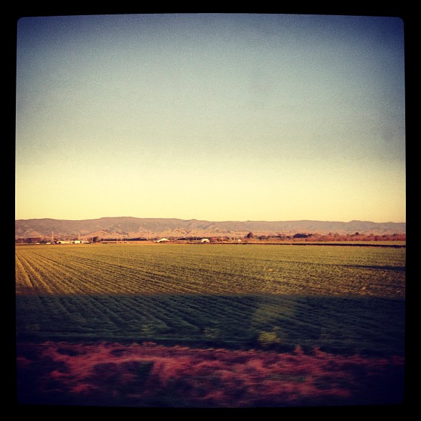
" Infinity and Beyond "

Dig My Ride? : Yolo County, California
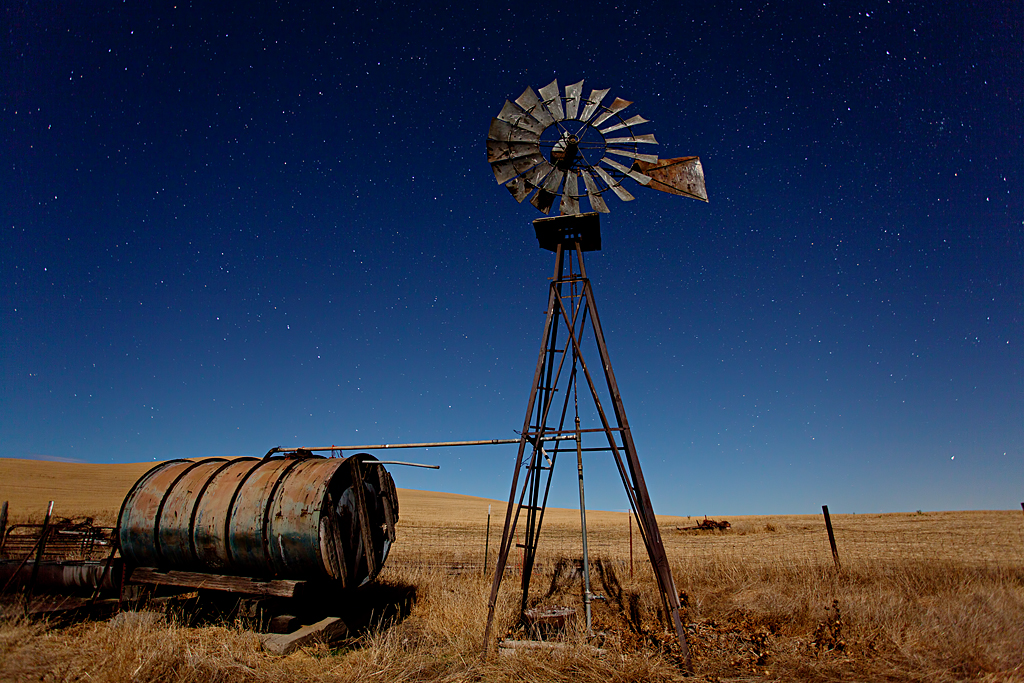
Waiting for Wind: Dunnigan Hills, California
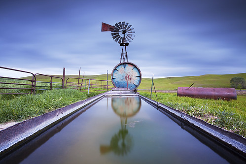
Windmill Water Trough: Zamora, California

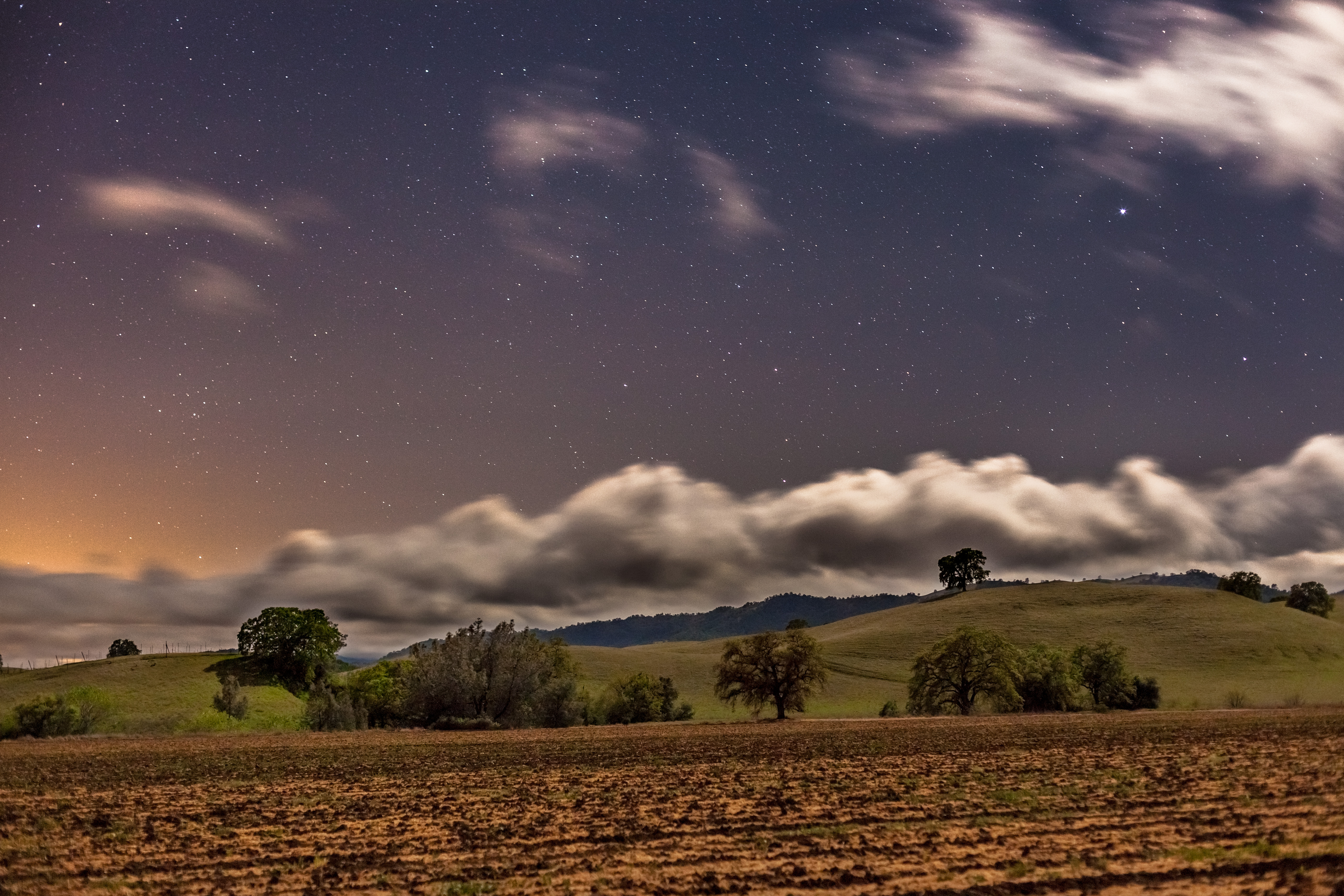
Spring Storm Gloom: Dunnigan Hills, California

Forever Wine Grapes: Dunnigan Hills, California

Abandoned Barn
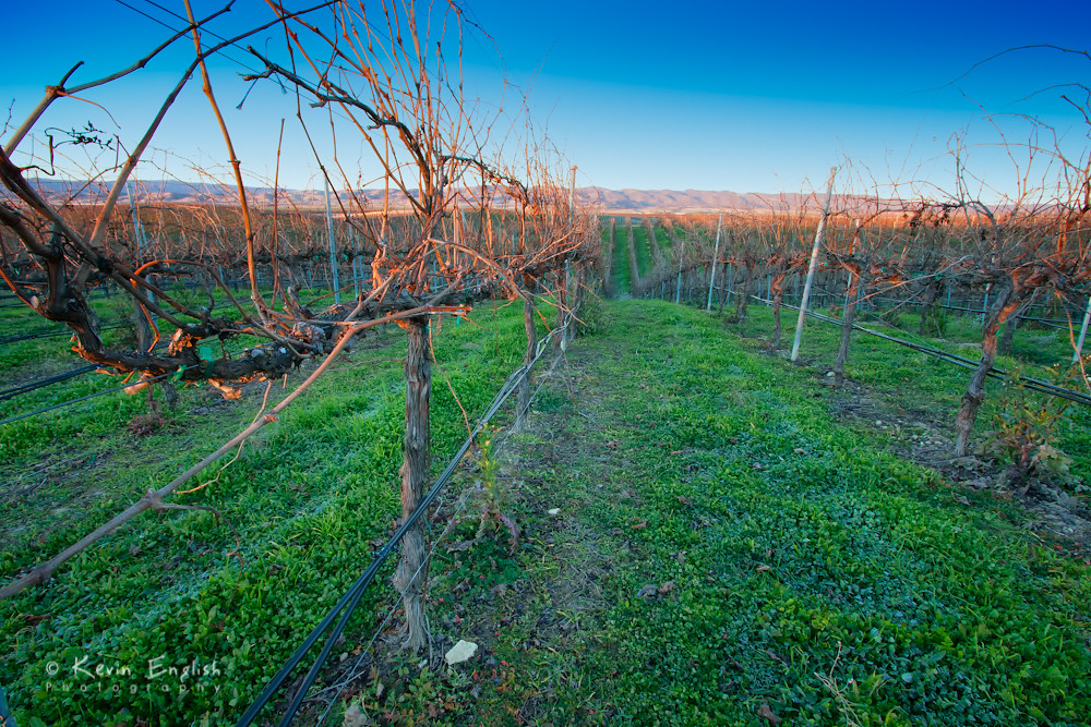
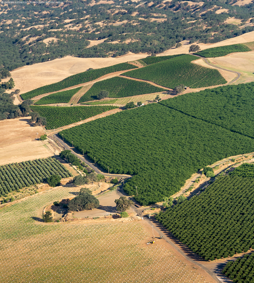
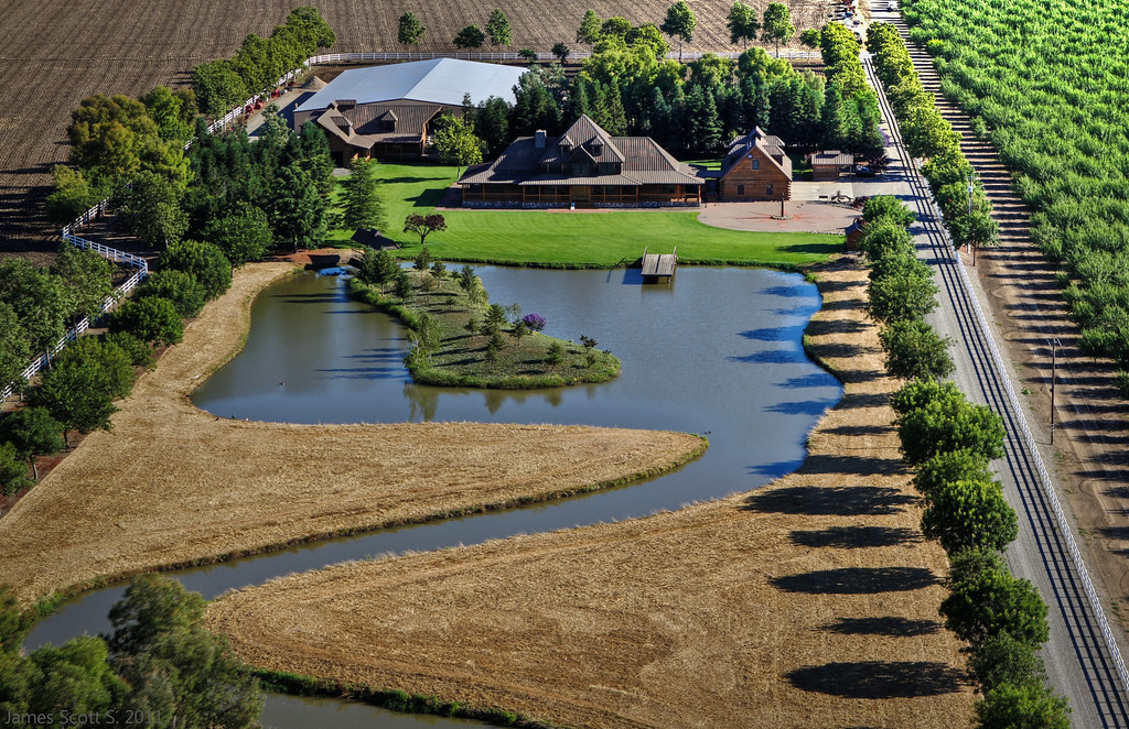
Dormant vinyard at R.H. Phillips winery in the Dunnigan Hills

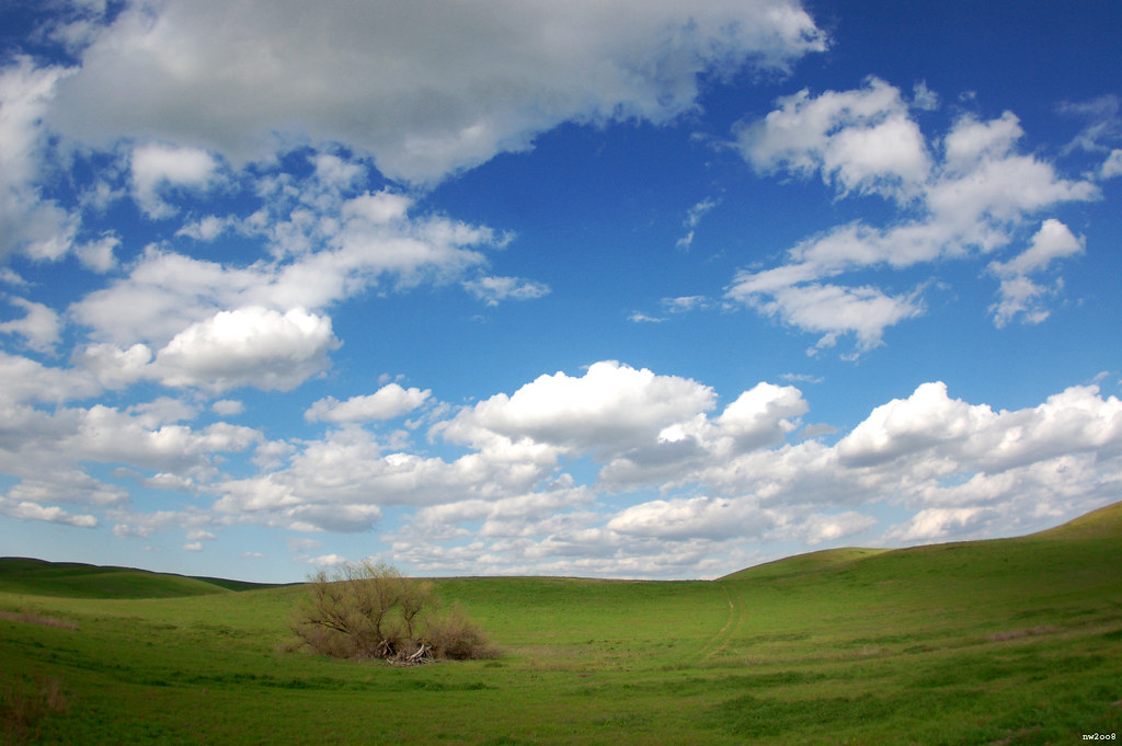
a grassy swale
Driver side view. #portlandbound #mytinyatlas #land #pnw

Lunch at the winery

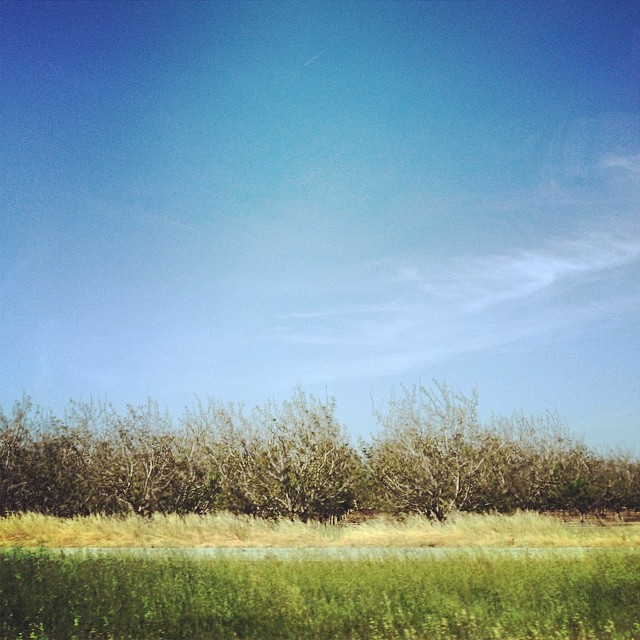
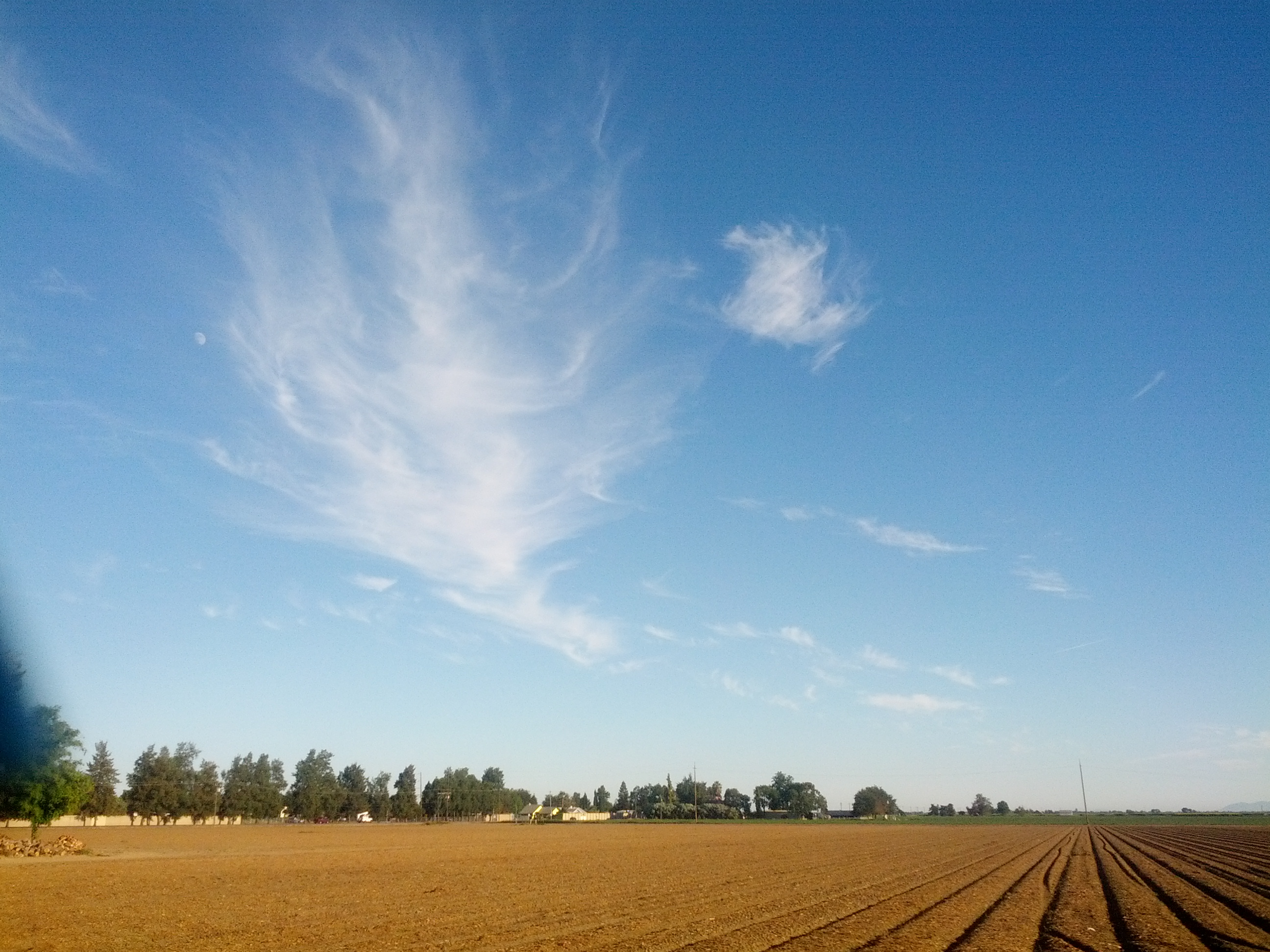
The Green Sea: Dunnigan Hills, California
5o5 rolling

Sunflowers 2012
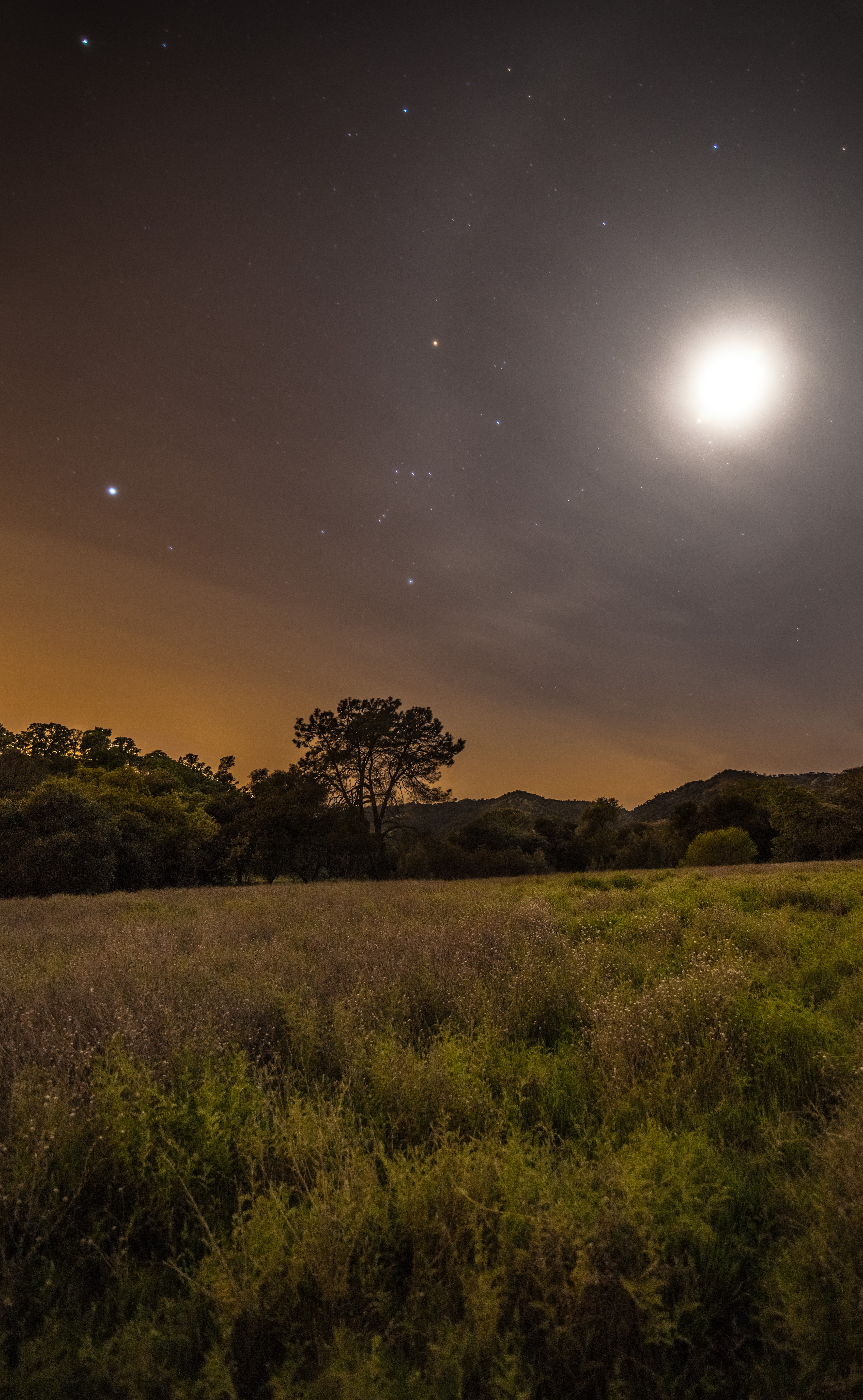
Moon Halo
Sweet peas. Farm Fresh to You. Bottom Dwellers at 12:30.
IMG_0599.jpg

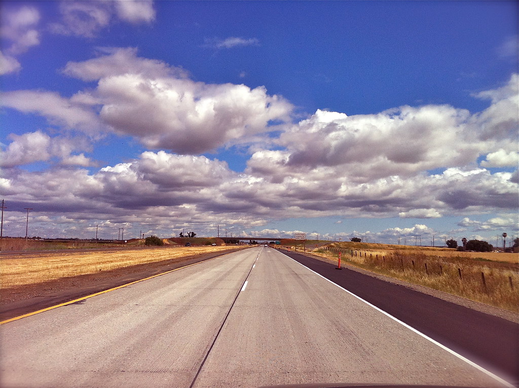
Drive.
Cali sunset
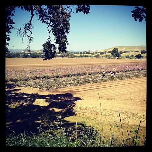
Vineyard in Winters.
First field work..ever!
Just west of Davis. Looks likes its going to be another gorgeous day of travel southbound. :-) #amtrak #coaststarlight #norcal #davis #train #travel #nerd
2011-07-13 60D Napa Balloon Ride HDR 02
Getting to Woodland
20090509-_MG_8714

Dunnigan Hills drive, County Route E10, Yolo County, May 6, 2011 (2)
Topographic Map of Madison, CA, USA
Find elevation by address:

Places near Madison, CA, USA:
29069 Quincy St
Yolo County
12100 Co Rd 96
12100 Co Rd 96
36459 Co Rd 21
Zamora
CR 99W, Yolo, CA, USA
37375 Co Rd 17
W Main St, Woodland, CA, USA
17 Orange St
Yolo
1st St, Yolo, CA, USA
Becket Lane
20 W Kentucky Ave
155 N West St
2 W Kentucky Ave
Woodland
1st Street
244 Cole Ct
19 Jackson St
Recent Searches:
- Elevation of Corso Fratelli Cairoli, 35, Macerata MC, Italy
- Elevation of Tallevast Rd, Sarasota, FL, USA
- Elevation of 4th St E, Sonoma, CA, USA
- Elevation of Black Hollow Rd, Pennsdale, PA, USA
- Elevation of Oakland Ave, Williamsport, PA, USA
- Elevation of Pedrógão Grande, Portugal
- Elevation of Klee Dr, Martinsburg, WV, USA
- Elevation of Via Roma, Pieranica CR, Italy
- Elevation of Tavkvetili Mountain, Georgia
- Elevation of Hartfords Bluff Cir, Mt Pleasant, SC, USA