Elevation of Yolo, CA, USA

Location: United States > California > Yolo County >

Longitude: -121.80728

Latitude: 38.732968

Elevation: 22m / 72feet

Barometric Pressure: 101KPa

Elevation Map:

elevation map of Yolo, CA, USA
Satellite Map:

Satellite map of Yolo, CA, USA
Related Photos:

infinity dreams
" Infinity and Beyond "
california nightphotography windmill grass northerncalifornia woodland stars landscape nightscape i5 wind farm country grain harvest hills astrophotography fields grasses nightsky rollinghills zamora starlight reallyrightstuff dunnigan starscape landscapephotography esparto dunniganhills californiaphotography northerncalifornialandscape northerncaliforniaphotography starphotography ivansohrakoffphotography
Waiting for Wind: Dunnigan Hills, California
california sunset usa storm green water windmill grass northerncalifornia clouds fence woodland landscape spring tank sundown i5 wind farm country farming grain hills pasture fields grasses roadside agriculture watertank rollinghills zamora countryroad trough reallyrightstuff rrs dunnigan ndfilter landscapephotography watertrough esparto neutraldensity dunniganhills californiaphotography leefilters northerncalifornialandscape northerncaliforniaphotography
Windmill Water Trough: Zamora, California
railroad train sera passengertrain dinnertrain woodlandcalifornia sierranorthern serawoodlandbranch woodlandtrestle
Sierra Northern Dinner Train on the Woodland Trestle
sunrise woodland landscape photography agriculture sacramentoriver landscapephotography fremontweir
Floodplain Farming: Fremont Weir, near Sacramento, California
retropinup cvp justalittlelightroom cvpshowcase crystalviewphotography philagur
Holly Rocks
california abandoned windmill barn sunrise canon landscape dawn 7d barnhouse
Abandoned Barn
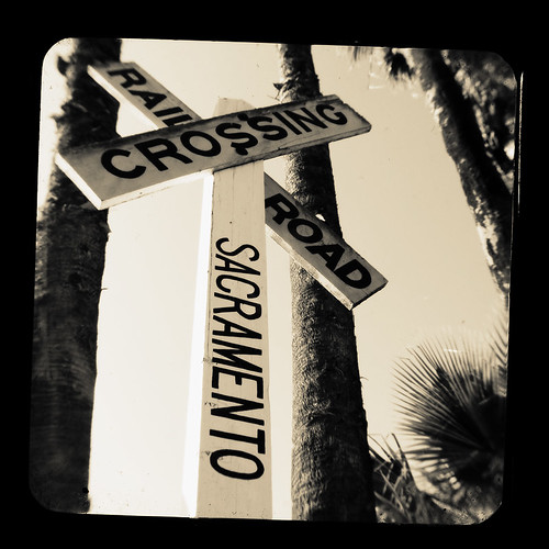
california railroad macro tlr sign train canon vintage woodland photography kodak sacramento dslr duaflex traincrossing twinlens ttv throughtheviewfinder kodakduaflex
TTV Series: Railroad
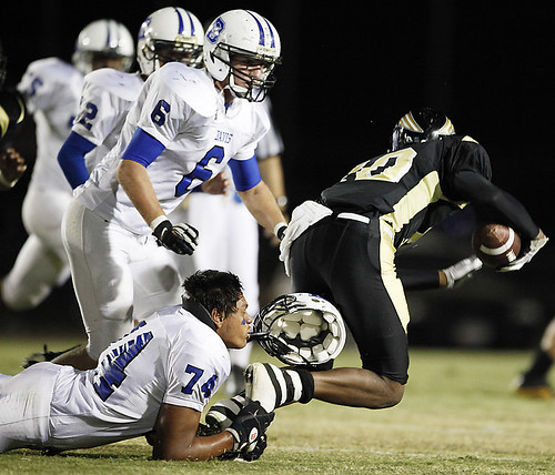
sports football athletics highschool davis pioneer tilcock
Davis High Pioneer Football Williams
square squareformat rise iphoneography instagramapp uploaded:by=instagram foursquare:venue=4e2dc84714955dbf7af243df
Driver side view. #portlandbound #mytinyatlas #land #pnw
sports football athletics highschool davis pioneer tilcock
Davis High Pioneer Football Nelson
sports football athletics highschool davis pioneer tilcock
Davis High Pioneer Football Castro
california sign architecture woodland august 2007
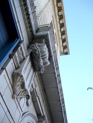
Porter Building 2
bridge northerncalifornia river norcal knightslanding sacramentiriver
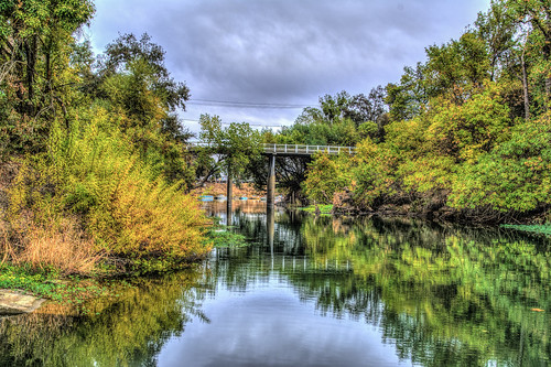
Knights Landing Bridge
shozu geotagged geo:lon=12177151 geo:lat=3867795
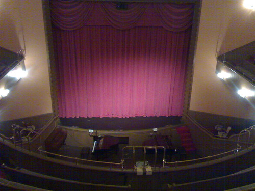
Woodland Opera House view from the balcony
Maria's Eye View
railroad southernpacific knightslanding
Tunnel-02
Radius Jig
california sunset usa tractor storm field grass northerncalifornia clouds rural cat woodland landscape diesel farm grain farmland hills sacramento farmer agriculture zamora yolocounty farmequipment centralvalley allischalmers redtractor yolo landscapephotography dunniganhills northerncalifornialandscape ivansohrakoff 11ag allischalmers11ag
Dig My Ride? : Yolo County, California
california railroad sun macro tlr train canon vintage woodland photography rocks kodak traintracks boxcar dslr hobo duaflex twinlens ttv throughtheviewfinder kodakduaflex
TTV Series: Boxcar
california sunset sky field grass clouds rural woodland landscape spring farm farming orchard farmland soil dirt sacramento davis grasslands zamora yolocounty californialandscape yolo landscapephotography dunniganhills californiaphotography californiascentralvalley californiafarmland ivansohrakoff
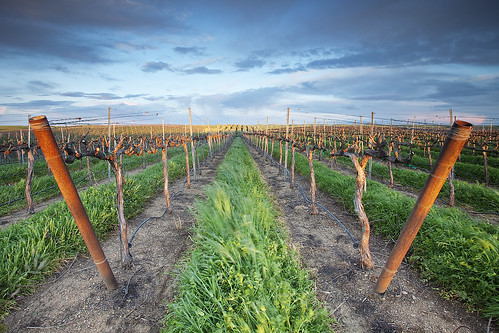
Forever Wine Grapes: Dunnigan Hills, California
california flowers sunset sky tree yellow clouds woodland oak sunflower davis valleyoak yolo
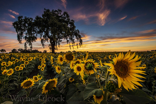
Sunflowers and Oak
california flowers sunset sky yellow clouds woodland nikon sunflower davis yolo
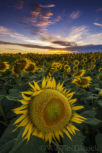
Woodland Sunflowers
5o5 rolling
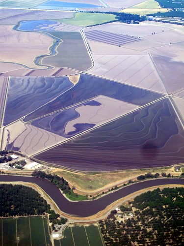
california rice farm aerial yolocounty centralvalley sacramentoriver sacramentovalley suttercounty fourmilebend
Fourmile Bend, Sacramento River
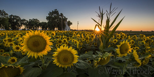
california sunset panorama sun flower church field yellow woodland corn mary wideangle chapel sunflower yolo waynetilcock
Sunflowers by Mary's Chapel, Yolo CA
square squareformat iphoneography instagramapp xproii uploaded:by=instagram foursquare:venue=4e2dc84714955dbf7af243df
Drive.
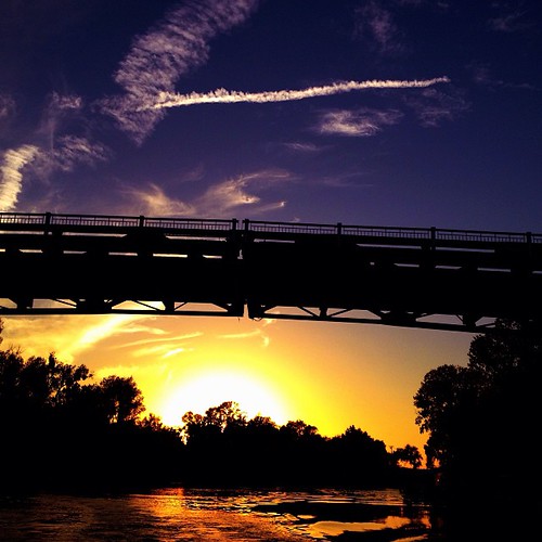
square squareformat iphoneography instagramapp uploaded:by=instagram foursquare:venue=4c44e6752d3ec9b621912fae
#Sunset under the bridge near #Sacramento, #California . #cruise #relax #water #magichour
sunset cloud
Norcal Sunset
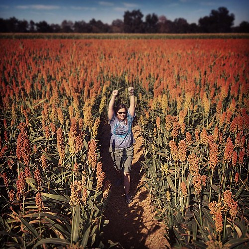
square squareformat sutro iphoneography instagramapp uploaded:by=instagram foursquare:venue=4cc77c793c40a35dc8626f2e
Last picture from the pumpkin patch: Carolyn defeats the Milo Maze.
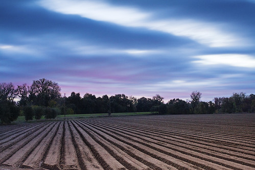
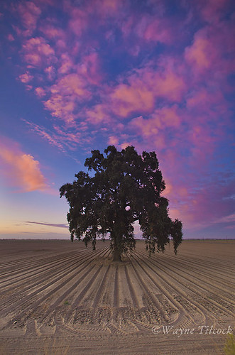
california pink blue sunset sky brown tree lines clouds canon oak ag 5d davis valleyoak yolo gradfilter singhray waynetilcock
Sunset Tree and Plow Lines
california woodland unitedstates
IMG_8159.JPG
woodland flickrandroidapp:filter=none
Getting to Woodland
ranch usa house lake home glass canon scott landscape eos james high pond estate dynamic wine florida farm united napa pro l fl states usm dslr range ef hdr 41 2470mm photomatix f28l 60d worldhdr
2011-07-13 60D Napa Balloon Ride HDR 02
california woodland unitedstates
IMG_8401.JPG
photostream
The Long Walk Back
storm
Storm Over Sacto
california ranch horse kids woodland grant therapy statefarm causeaneffect trotr
Changes to Come