Elevation of Prices Creek Road, Prices Creek Rd, Price Creek, NC, USA
Location: United States > North Carolina > Yancey County > Burnsville > Burnsville >
Longitude: -82.384945
Latitude: 35.8760559
Elevation: 811m / 2661feet
Barometric Pressure: 92KPa
Elevation Map:
Satellite Map:
Related Photos:

Blue Ridge Sunrise

Sunrise: Black Mountains, NC

Deep Gap Trail

East of Dillingham

Over the Blacks Range
White Oak Creek

Western North Carolina Mountain View

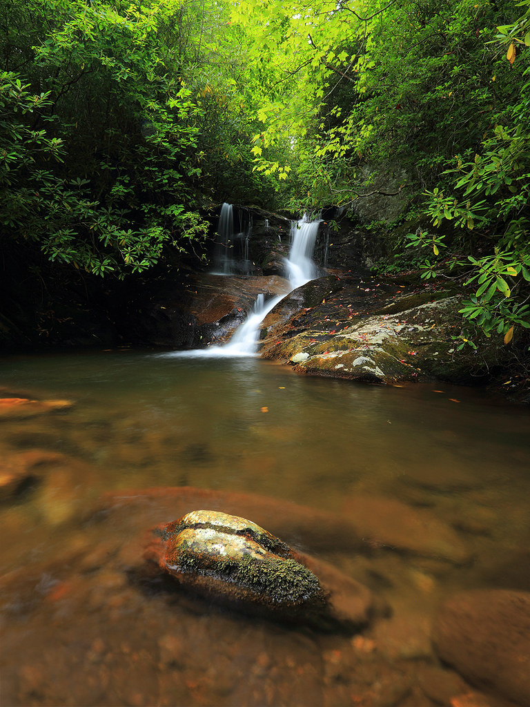
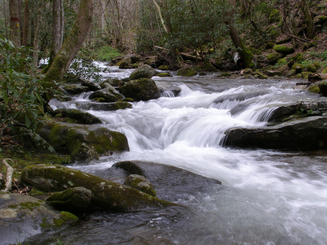
Falls on Whiteoak Creek
White Oak Creek Falls

Black Mountain Crest Trail

Red Barn with Tree

Nearly Engulfed

Mars Theatre

Mount Mitchell

Solo Creek

A "Laurel Hell" (Rhododendron maxima)

Dark and Misty
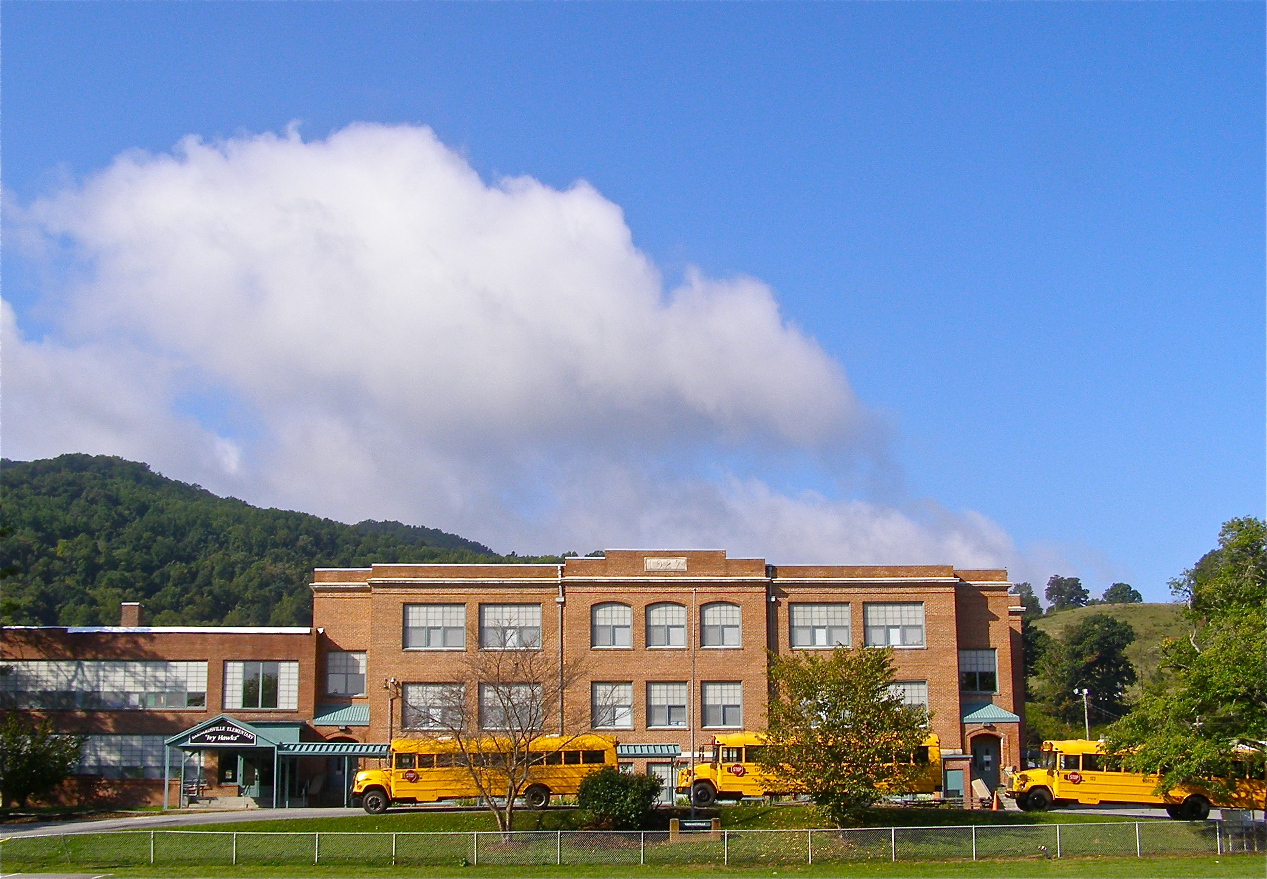
Mountain School

Carter-Swain House
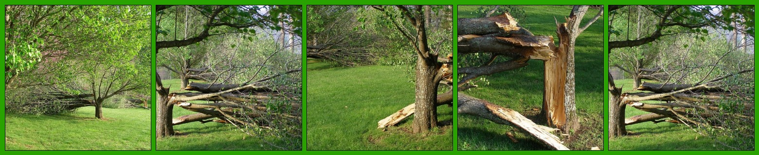
After the Storm

Carter-Swain House
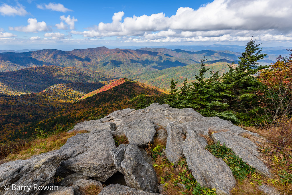
View from Mt. Mitchell

Rime Ice

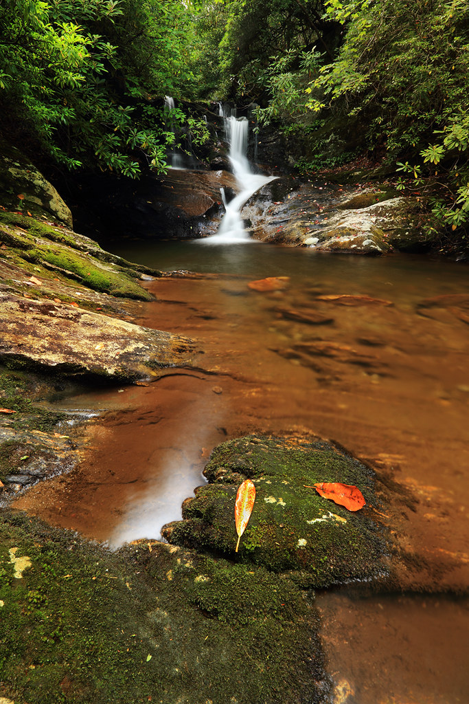
Whiteoak Creek Falls

Grey Winter Creek

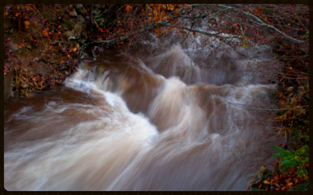
Flow like water.jpg

Rock, Trees, and Low Clouds
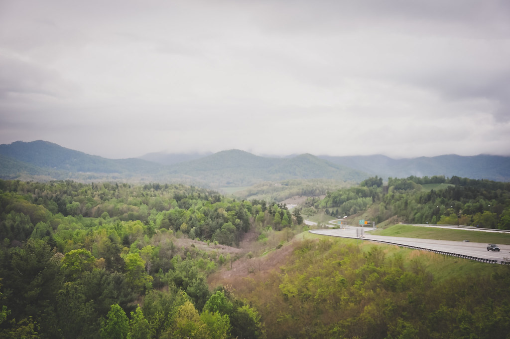
Mountains in North Carolina
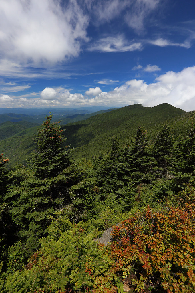
The Black Mountains

Haw Branch Barns
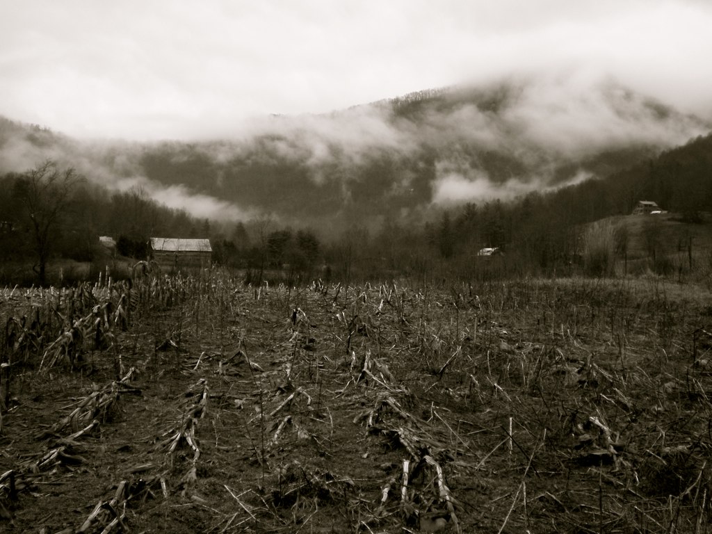
Fog, Grey, Mist--

Yesterday's Barn
All's Well

Wide Water

Sunrise over the Appalachians

Cascade: Corner Rock Creek
Flush at Walker Creek, 2009

The View From The Top: Mountains
Topographic Map of Prices Creek Road, Prices Creek Rd, Price Creek, NC, USA
Find elevation by address:

Places near Prices Creek Road, Prices Creek Rd, Price Creek, NC, USA:
Prices Creek Road
Prices Creek Road
Prices Creek Road
4000 Prices Creek Rd
477 New Ground Dr
477 New Ground Dr
274 White Pine Ln
2061 Banks Creek Rd
737 Charity Ln
32 Hortons Creek Rd
190 Charity Ln
28 Old Cabin Ln
Paint Gap
21 Penland Hollow Rd
278 Banks Creek Rd
113 Trout Water Cir
Austin Mountain
Prices Creek Rd, Burnsville, NC, USA
1499 Hortons Creek Rd
17 Mcpeters Ln
Recent Searches:
- Elevation of Corso Fratelli Cairoli, 35, Macerata MC, Italy
- Elevation of Tallevast Rd, Sarasota, FL, USA
- Elevation of 4th St E, Sonoma, CA, USA
- Elevation of Black Hollow Rd, Pennsdale, PA, USA
- Elevation of Oakland Ave, Williamsport, PA, USA
- Elevation of Pedrógão Grande, Portugal
- Elevation of Klee Dr, Martinsburg, WV, USA
- Elevation of Via Roma, Pieranica CR, Italy
- Elevation of Tavkvetili Mountain, Georgia
- Elevation of Hartfords Bluff Cir, Mt Pleasant, SC, USA