Elevation of Banks Creek Rd, Burnsville, NC, USA

Location: United States > North Carolina > Yancey County > Burnsville > Burnsville >

Longitude: -82.381579

Latitude: 35.9017518

Elevation: 781m / 2562feet

Barometric Pressure: 92KPa

Elevation Map:

elevation map of Banks Creek Rd, Burnsville, NC, USA

Satellite Map:

Satellite map of Banks Creek Rd, Burnsville, NC, USA

Related Photos:

sunrise nc hrv wnc 2015 mountainair 81715 sonynex7 heritageridgevillas
Blue Ridge Sunrise
snow bigivy nc mountains wnc blueridgeparkway valley dillingham light cumulus
Over the Blacks Range
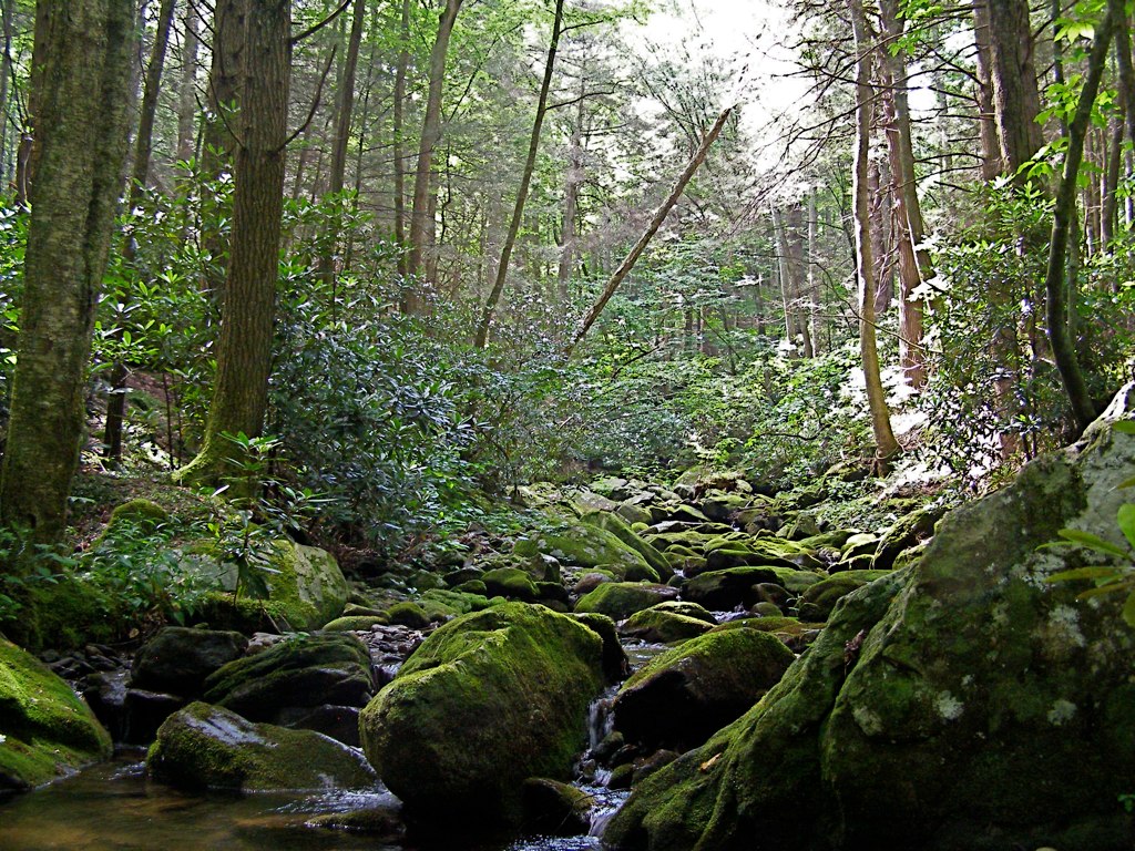
snow creek usfs 2013 bigivy mystuart cornerrock
Solo Creek
mountain tennessee bald appalachian erwin
Bald Mountain
mountain big bald stamp appalachian roan unaka
Bald Mountain
potential wnc 61011
Western North Carolina Mountain View
summer sky mountains architecture buildings corn south august 2006 maize bungalow melystu
Nearly Engulfed
mountain america walking unitedstates hiking northcarolina blackmountains appalachianmountains hillwalking observationtower mountmitchell mountmitchellstatepark blackmountaincampground elishamitchell statehighpoint mountmitchelletrail
Mount Mitchell
signs cinema color nc theater movies mummy topaz burnsville yancey westernnc 3921 20080815
THE MUMMY 3
sota bigbutt summitsontheair elecraftkx3 ki4svm wh6le 88doublet hardrock50 w4ccm009
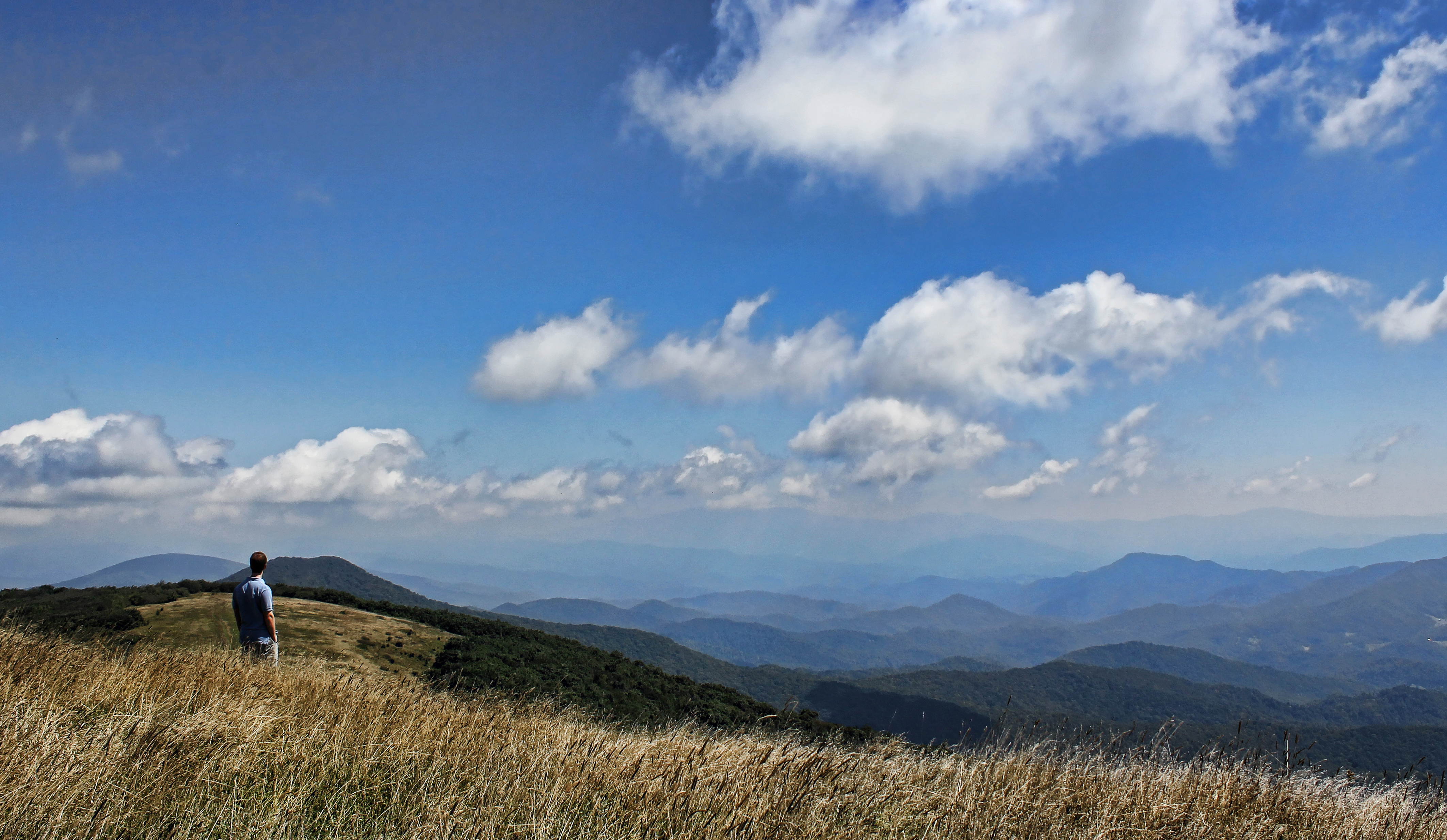
View from Little Butt
winter mountains green wet misty clouds barn dark geotagged nc rainy pasture chilly hay shrouded dillingham 2011 pokeweed mystuart
Dark and Misty
winter mountain forest nc woods rhododendron laurel 2012 lore dialect horacekephart mystuart laurelhell
A "Laurel Hell" (Rhododendron maxima)
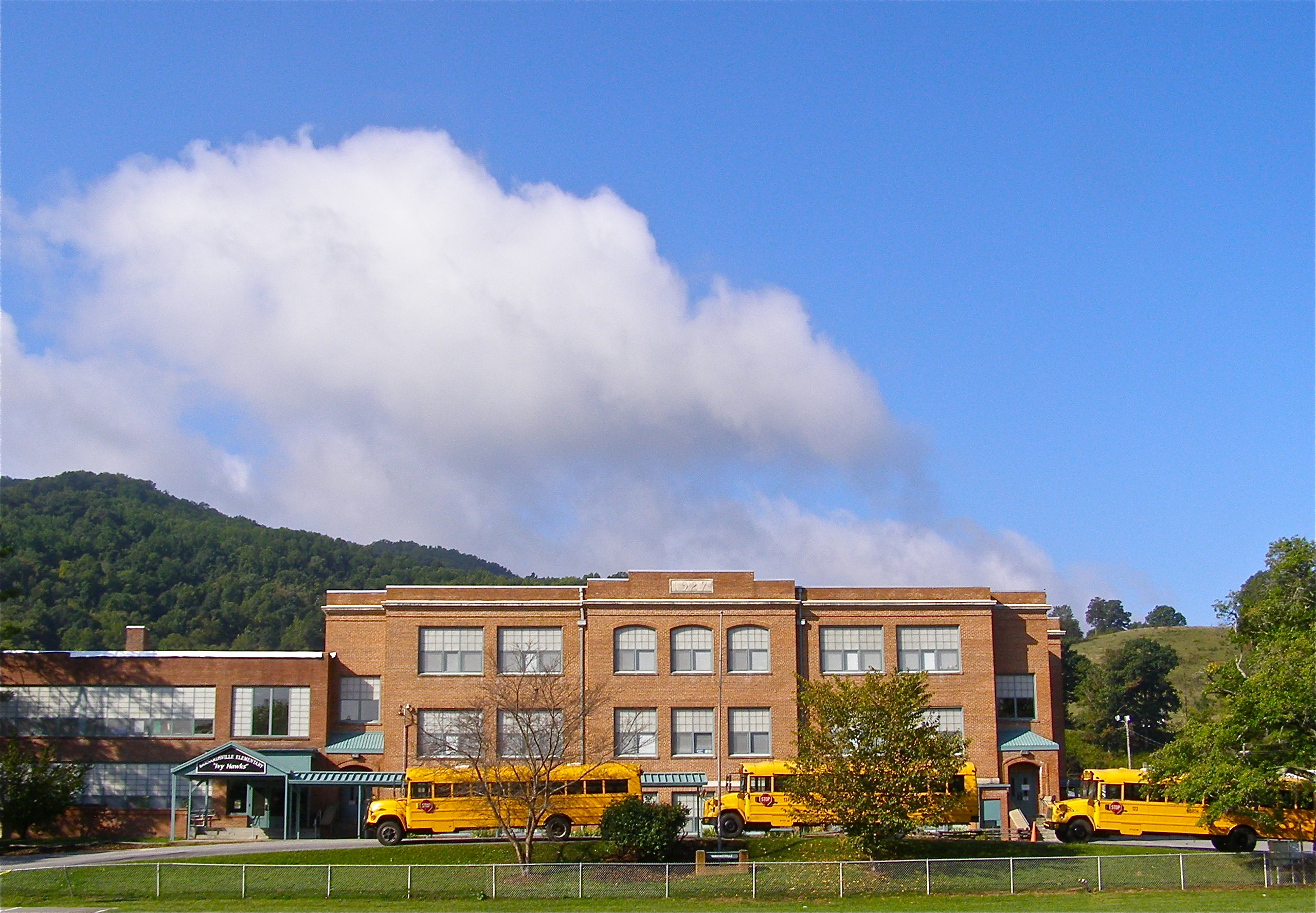
school sky mountains brick history clouds geotagged nc highschool learning teaching schoolbus elementary yellowschoolbus barnardsville buncombecounty melystu ncpedia
Mountain School
flowers sunset lake mountains fall leaves sunrise wnc 2015 mountainair 20150915and16and11and14and08 firstredleaf
Sunrise: Black Mountains, NC
usa house snow history architecture geotagged nc historic veranda twostory democrat preservation 2011 nationalregister melystu carterswain
Carter-Swain House
usa house snow history architecture geotagged nc historic veranda twostory democrat preservation 2011 nationalregister melystu carterswain
Carter-Swain House
appalachian big bald
Big Bald
appalachian big bald stamp
Big Stamp
mountain black bald appalachian
Bald Mountain
blue summer landscape nc haze north ridge trail smokey carolina layers appalachian hazy blueridgemountains mountians appalachiantrail appalachianmountains smokeymountains wolflaurel eoskissx4 canoneos550d eos550d canoneosrebelt2i rebelt2i canoneoskissx4 eosrebelt2i
Mountain Layers
sota bigbutt summitsontheair elecraftkx3 ki4svm wh6le 88doublet hardrock50 w4ccm009
W4C/CM-009 - Big Butt View
rimeice blueridgeparkway northcarolina fencerow geotagged archaic oldword frost frozenfog hff
Rime Ice
bridge winter mountains creek geotagged nc barns stark bigcreek wnc barnardsville bigivy
Grey Winter Creek
show trees winter mountains sunshine creek forest countryside nc woods rocks stream stones nationalforest clear transparent february thaw dillingham 2014 bigivy mystuart cornerrock
Wide Water
fograinsunsetgodsraystreeswncnc73142014ma western north carolina wnc burnsville nc mountains black white mountain landscape gods rays sunset
Blue Ridge Sunset (2014 07 03 -3796)
summer water creek nc rocks stream branch lichen pisgah barnardsville staire bigivy melystu
Staire Creek, Summer
CSX Q692 @ Green Mountain
square squareformat iphoneography instagramapp uploaded:by=instagram foursquare:venue=4d4af4f77ac1a0902cf13ea9
The Cure
unitedstates northcarolina burnsville
Flow like water.jpg
northcarolina spring usa 2012 marshill unitedstates us
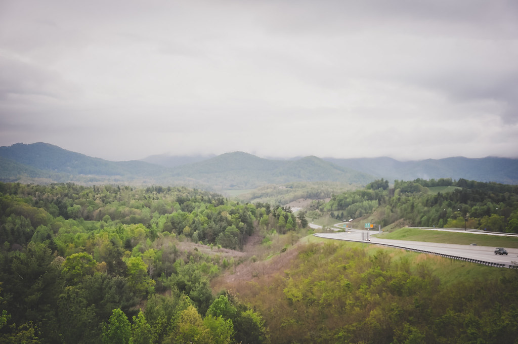
Mountains in North Carolina
water rain creek geotagged nc spring stream explore watershed pisgah buncombecounty explored 2013 bigivy mystuart cornerrockcreek ivytownship
Cascade: Corner Rock Creek
mountain nature clouds landscape nc big tn hiking tennessee bald sigma northcarolina trail smokey appalachian blueridge baldmountain appalachiantrail appalachianmountains uwa potofgold 816 wolflaurel bigbald eoskissx4 canoneos550d eos550d canoneosrebelt2i rebelt2i canoneoskissx4 eosrebelt2i
The Lookout
Corner Rock Creek I
history barn rural landscape nc 1930s historic silo valley agriculture silage 2010 barnardsville bigivy
Rock Silo, Barnardsville
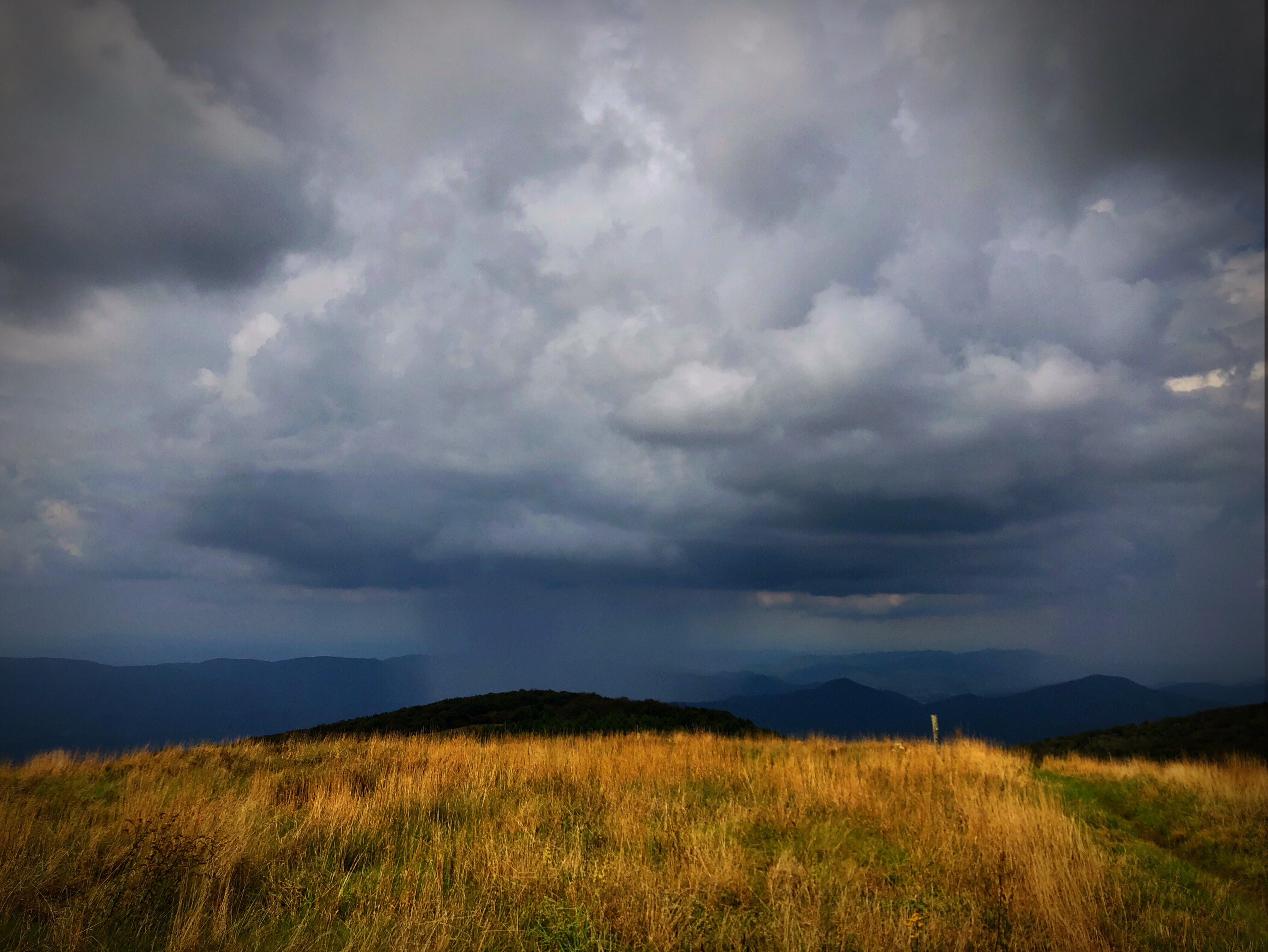
Raining in the Appalachian Mountains. Big Bald on the Appalachian Trail.
mountmitchellstatepark yancycounty burnsville mountmitchell nc northcarolina mountains blueridgemountains trees wnc westernnorthcarolina travel vacation fall autumn fallcolors autumncolors leaves tourism visit explore blueridgeparkway aerial aerialphotographer aerialphotography asheville watershed nature watersupply aerialphoto foliage autumnleaves unitedstatesofamerica usa vau1151394 11010937712
Autumn Colors of Foliage in Mount Mitchell State Park