Elevation of Trout Water Cir, Burnsville, NC, USA
Location: United States > North Carolina > Yancey County > Burnsville > Burnsville >

Longitude: -82.384062

Latitude: 35.9040561

Elevation: 785m / 2575feet

Barometric Pressure: 92KPa

Elevation Map:

elevation map of Trout Water Cir, Burnsville, NC, USA
Satellite Map:

Satellite map of Trout Water Cir, Burnsville, NC, USA
Related Photos:

winter mountain forest nc woods rhododendron laurel 2012 lore dialect horacekephart mystuart laurelhell
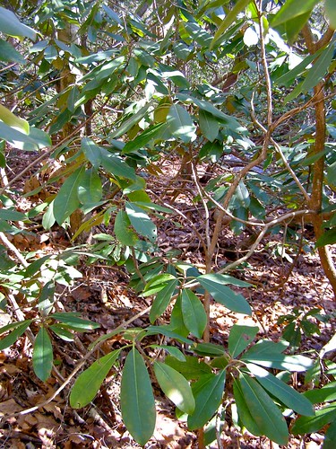
A "Laurel Hell" (Rhododendron maxima)
mountain ski wolf bald resort appalachian laurel
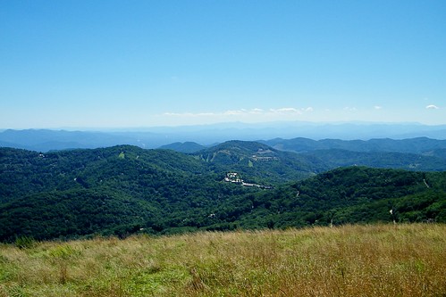
Wolf Laurel Ski Resort
101516 2016 mountainair chair cloudinversion fallcolor landscape heritageridgevillascom
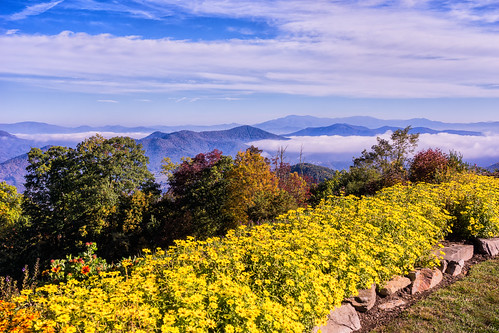
The View From The Top: Mountains
potential wnc 61011
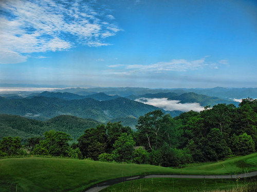
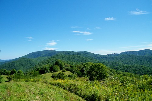
Western North Carolina Mountain View
autumn nature water creek river geotagged nc video stream carolina pisgahnationalforest usfs 2011 mystuart
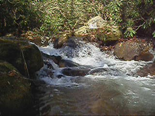
7-Second Video: Corner Rock Creek, Pisgah National Forest
uploaded:by=flickrmobile flickriosapp:filter=salamander salamanderfilter scenicwolfmountainresort
A mountain view
school sky mountains brick history clouds geotagged nc highschool learning teaching schoolbus elementary yellowschoolbus barnardsville buncombecounty melystu ncpedia
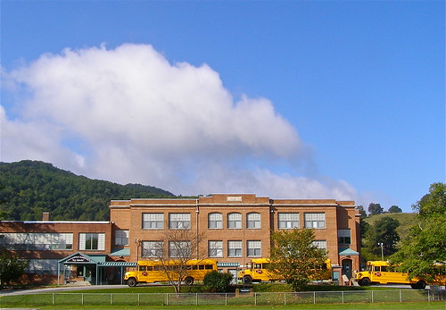
Mountain School
usa house snow history architecture geotagged nc historic veranda twostory democrat preservation 2011 nationalregister melystu carterswain
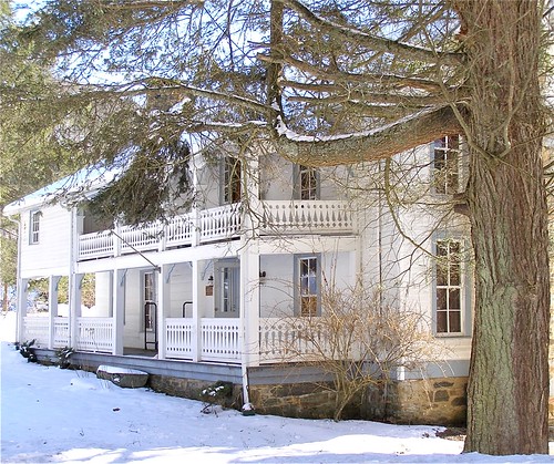
Carter-Swain House
color fall nc northcarolina barnardsville nc197
NC 197 (Fall, 2010)
signs cinema color nc theater movies mummy topaz burnsville yancey westernnc 3921 20080815
THE MUMMY 3
usa house snow history architecture geotagged nc historic veranda twostory democrat preservation 2011 nationalregister melystu carterswain
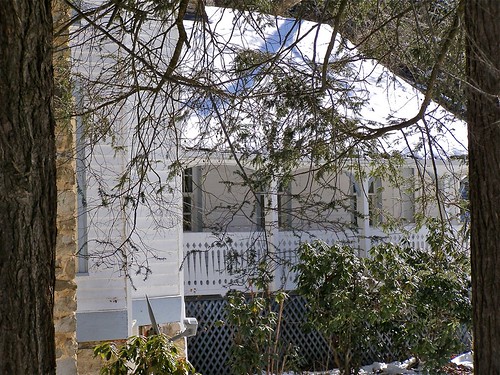
Carter-Swain House
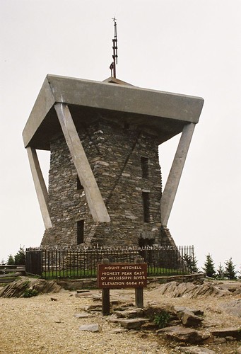
mountain america walking unitedstates hiking northcarolina blackmountains appalachianmountains hillwalking observationtower mountmitchell mountmitchellstatepark blackmountaincampground elishamitchell statehighpoint mountmitchelletrail
Mount Mitchell
mountain tennessee bald appalachian erwin
Bald Mountain
color fall nc northcarolina barnardsville nc197
NC 197 (Fall, 2010)
mountains fall leaves nc northcarolina nc197 canerivergap
NC 197 Fall Trip [10/16/2011]
blue church rain newyears 2008 2009 blueridgemountains blueridge pisgah wnc westernnorthcarolina newyearstrip dec2008 jan2009
church in the rain
mountains fall leaves nc northcarolina nc197 canerivergap
NC 197 Fall Trip [10/16/2011]
mountain bald gap appalachian sams
Appalachian Trail
ski wolf gap resort appalachian laurel sams
Appalachian Trail
mountain big bald stamp appalachian roan unaka
Bald Mountain
mountain bald appalachian sampson
Bald Mountain
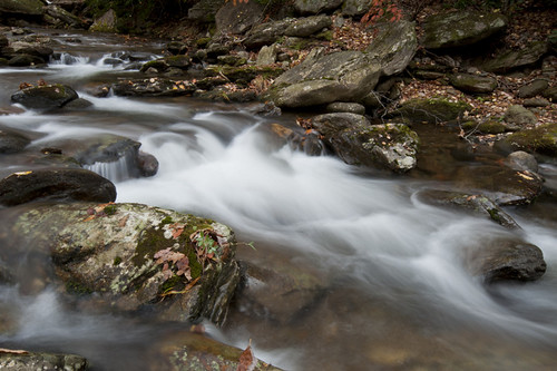
water rain creek geotagged nc spring stream explore watershed pisgah buncombecounty explored 2013 bigivy mystuart cornerrockcreek ivytownship
Cascade: Corner Rock Creek
Big Bald
northcarolina spring usa 2012 marshill unitedstates us
Mountains in North Carolina
usa mountains fog spring unitedstates northcarolina 2012 marshill i26
on the road outside Asheville, NC
Raining in the Appalachian Mountains. Big Bald on the Appalachian Trail.
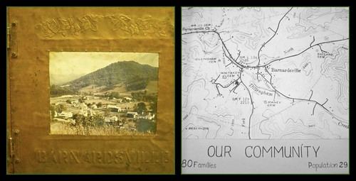
mountains color history scrapbook landscape photography book nc community map handmade cartography copper local preserved buncombe incorporated preservation barnardsville englishivy libslibs bigivy laurelandivy
Barnardsville, NC, 1959
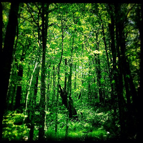
square squareformat iphoneography instagramapp uploaded:by=instagram foursquare:venue=4d4af4f77ac1a0902cf13ea9
The Cure
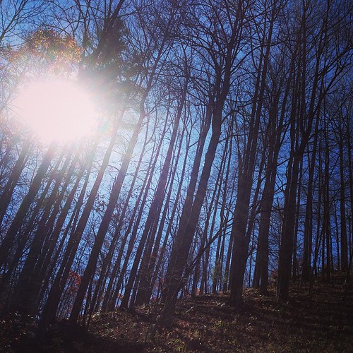
square squareformat mayfair iphoneography instagramapp uploaded:by=instagram
The light fades so quickly here at the farm in the winter. Soft light through bare trees, and peace. #nature #appalachia #riversongmountainsanctuary #wildkatuahhealingarts
travel autumn trees vacation usa mountains fall tourism nature leaves nc asheville fallcolors unitedstatesofamerica northcarolina visit aerial autumnleaves autumncolors foliage explore watershed aerialphoto blueridgemountains aerialphotography blueridgeparkway burnsville mountmitchell wnc watersupply westernnorthcarolina aerialphotographer mountmitchellstatepark yancycounty
Mount Mitchell State Park in Autumn Colors
My Favorite
CSX Q692 @ Green Mountain
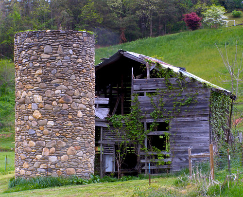
history barn rural landscape nc 1930s historic silo valley agriculture silage 2010 barnardsville bigivy
Rock Silo, Barnardsville
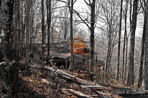
autumn trees red orange mountains fall leaves yellow cabin woods northcarolina autumncolors logcabin selectivecolorization wolflaurel
Cabin in the Woods - Selective Colorization
travel autumn trees vacation usa mountains fall tourism nature leaves nc asheville fallcolors unitedstatesofamerica northcarolina visit aerial autumnleaves autumncolors foliage explore watershed aerialphoto blueridgemountains aerialphotography blueridgeparkway burnsville mountmitchell wnc watersupply westernnorthcarolina aerialphotographer mountmitchellstatepark yancycounty
Autumn Colors of Foliage in Mount Mitchell State Park
water sunshine creek forest rocks stream sparkle pisgah colemanboundary 2011 bigivy mystuart cornerrock melystu
Thanksgiving Break
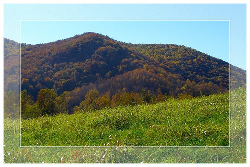
autumn mountains fall grass nc fdsflickrtoys frame carolina 2012 frostedglass funwithframes mystuart
On the Hill
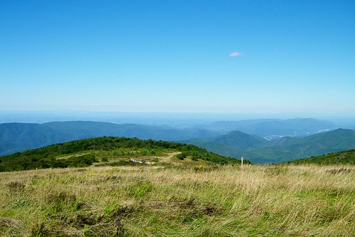
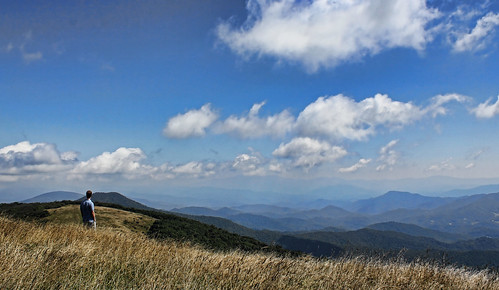
mountain nature clouds landscape nc big tn hiking tennessee bald sigma northcarolina trail smokey appalachian blueridge baldmountain appalachiantrail appalachianmountains uwa potofgold 816 wolflaurel bigbald eoskissx4 canoneos550d eos550d canoneosrebelt2i rebelt2i canoneoskissx4 eosrebelt2i
The Lookout