Elevation of Burnsville, NC, USA

Location: United States > North Carolina > Yancey County > Burnsville >

Longitude: -82.300961

Latitude: 35.9173357

Elevation: 861m / 2825feet

Barometric Pressure: 91KPa

Elevation Map:

elevation map of Burnsville, NC, USA

Satellite Map:

Satellite map of Burnsville, NC, USA

Related Photos:

potential wnc 61011
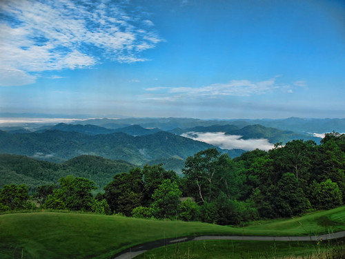
Western North Carolina Mountain View
sunrise waterfall northcarolina linvillegorge canon100400 northcarolinamountains canon1635f28 canon24105f4 uppercreekfalls wisemansview northcarolinawaterfalls durinsday canon6d whiteoakcreekfalls
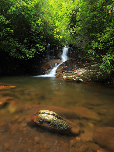
White Oak Creek
mountains nature pool creek waterfall nc moss rocks northcarolina hdr naturephotography pisgahnationalforest yanceycounty waterfallphotography fallsonwhiteoakcreek davidhopkinsphtotography ncpedia
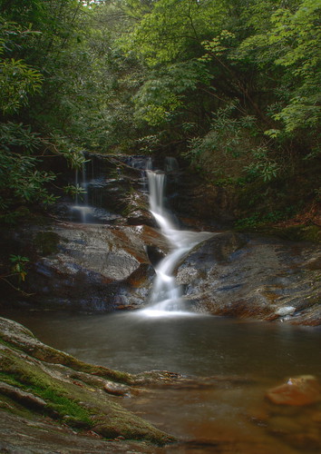
Falls on Whiteoak Creek
sunrise waterfall northcarolina linvillegorge canon100400 northcarolinamountains canon1635f28 canon24105f4 uppercreekfalls wisemansview northcarolinawaterfalls durinsday canon6d whiteoakcreekfalls
White Oak Creek Falls
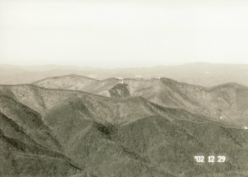
blackmountains mtmitchell deepgap
View West from Deep Gap Trail
mountains northcarolina highcove
View from the top of the peak
signs cinema color nc theater movies mummy topaz burnsville yancey westernnc 3921 20080815
THE MUMMY 3
square squareformat iphoneography instagramapp uploaded:by=instagram foursquare:venue=4f9dcc99e4b0b34c44e071e6
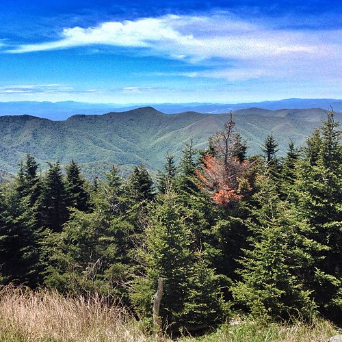
View from Mount Craig. #nofilter #asheville #blueridge
color fall nc northcarolina barnardsville nc197
NC 197 (Fall, 2010)
Side View
blackmountains mtmitchell deepgap
View West from Deep GapTrail
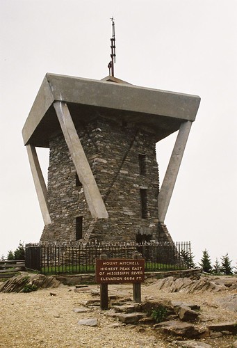
mountain america walking unitedstates hiking northcarolina blackmountains appalachianmountains hillwalking observationtower mountmitchell mountmitchellstatepark blackmountaincampground elishamitchell statehighpoint mountmitchelletrail
Mount Mitchell
color fall nc northcarolina pensacola nc197
NC 197 (Fall, 2010)
color fall nc northcarolina barnardsville nc197
NC 197 (Fall, 2010)
color fall nc northcarolina barnardsville nc197
NC 197 (Fall, 2010)
mountains fall leaves nc northcarolina nc197 canerivergap
NC 197 Fall Trip [10/16/2011]
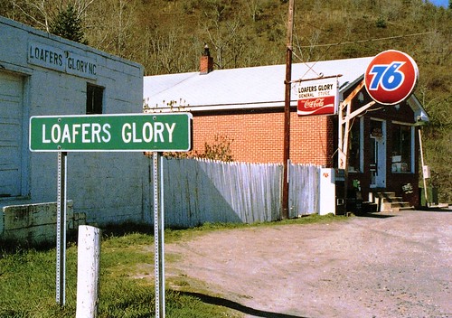
mountains station rural see nc view image postcard country scene gas seen 76
Loafers Glory
blue church rain newyears 2008 2009 blueridgemountains blueridge pisgah wnc westernnorthcarolina newyearstrip dec2008 jan2009
church in the rain
Loyd's Horse
park mountain black state cone hill north peak crest mount potato craig carolina mitchell balsam cattail
Black Mountain Crest Trail
mountains fall leaves nc northcarolina nc197 canerivergap
NC 197 Fall Trip [10/16/2011]
trees leaves woods rivers wnc 2014 197 oldstructure 102114
Light On The Hill: WNC
square squareformat iphoneography instagramapp uploaded:by=instagram foursquare:venue=4d4af4f77ac1a0902cf13ea9
The Cure
square squareformat mayfair iphoneography instagramapp uploaded:by=instagram
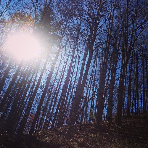
The light fades so quickly here at the farm in the winter. Soft light through bare trees, and peace. #nature #appalachia #riversongmountainsanctuary #wildkatuahhealingarts
rocks northcarolina waterfalls northcarolinamountains canon1635f28 whiteoakcreek northcarolinawaterfalls durinsday canon6d
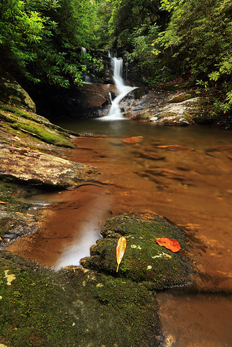
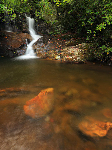
White Oak Creek
mountains united flight northcarolina aerial blueridgemountains windowseat mountmitchellstatepark zeesstof washingtondctohouston
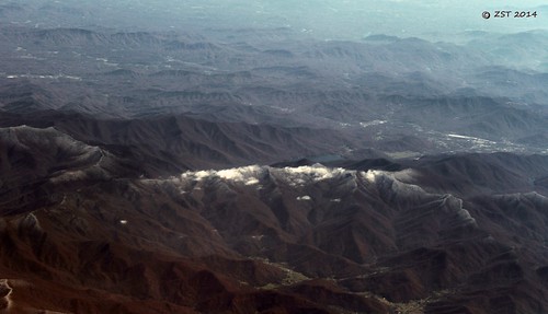
Mount Mitchell State Park
nc
Black Mountain Crest Trail
christmas winter holidays december 2015 warmwinter lindleyashline
Barn with barn star (or hex sign) near Burnsville, NC
color fall nc northcarolina pensacola nc197
NC 197 (Fall, 2010)
life green canon catchycolors photography christ god path jesus joy christian bible christianity inspirational promise encourage mountainpath verse encouragement bibleverse northcarolinamountains precept southernphotography psalm1611 canont2i canonrebelt2i lightattheendofapath youwillshowmethepathoflife highpasturesretreatcenter momentstohold
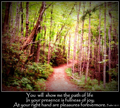
You will show me the path of life
christmas winter holidays december 2015 warmwinter lindleyashline
A scarecrow and farm equipment near Burnsville, NC
travel autumn trees vacation usa mountains fall tourism nature leaves nc asheville fallcolors unitedstatesofamerica northcarolina visit aerial autumnleaves autumncolors foliage explore watershed aerialphoto blueridgemountains aerialphotography blueridgeparkway burnsville mountmitchell wnc watersupply westernnorthcarolina aerialphotographer mountmitchellstatepark yancycounty
Autumn Colors of Foliage in Mount Mitchell State Park
square squareformat iphoneography instagramapp uploaded:by=instagram
Afternoon hike w/ @shelaeveridge and lil :-)
My Favorite

Topographic Map of Burnsville, NC, USA

Find elevation by address:


Places in Burnsville, NC, USA:

12 Lester Ln, Burnsville, NC, USA Mount Mitchell Pleasant Valley Rd, Burnsville, NC, USA Bolens Creek Rd, Burnsville, NC, USA Jacks Creek Road Water Shed Road Celo Community Hortons Creek Road Satellite Mountain Road Hog Branch Road Strawberry Hill Lane Dale Street Paint Gap Wilson Branch Road Little Creek Road Sidewinder Drive Moses Branch Road Sunrise Lane U.s. 19w & Featheredge Drive Ogles Gap Road Jacks Creek Road Majestic Mountain Drive Blue Grass Lane Riverview Road Ewart Wilson Road Golden Trout Drive Pound Mill Branch Road Willow Lane Simmons Road Higgins Hollow Drive Lambent Lane Mountain View Road Hortons Creek Road Sunrise Lane Moonshine Mountain Road Crescent Drive Bailey Hill Drive Slickrock Mountain Pensacola Road Overlook Drive New View Drive Big Ridge Road Hicks Road Hummingbird Lane Byrd Street Leisure Lane Barebridge Drive 7 Mile Ridge Road Star Branch Road North Star Road Ed Young Road West Us Highway 19 East Higgins Hollow Drive Celo Street Bradford Road Pinnacle Road Haney Creek South Ridgerunner Road Winterstar Loop Blue Branch Road Pokeberry Lane Windy Ridge State Highway 80 South Hemlock Lane Mountain Air Drive Little Creek Road Mill Spring Road Ivy Street Wintergreen Patch Lane Shoal Creek Road Riddle Street Meadowood Lane Austin Mountain Mountain Air Drive Academy Street Eagle Rock Lane Blue Branch Road Eagle Rock Lane Burnsville, NC, USA Eagle Rock Lane Riddle Street Eagle Rock Lane Eagle Rock Lane Griffith Mine Road Prices Creek Road Prices Creek Road Prices Creek Road Prices Creek Road Blue Branch Road Grapevine Lane Blue Branch Road Rocky Fork Road Mountain Creek Lane Cane Mountain Mountain Creek Lane Mountain Creek Lane Mount Farm Road Electra Lane Valle Drive
Places near Burnsville, NC, USA:

Recent Searches: