Elevation of Burnsville Independent, 19 East Blvd, Burnsville, NC, USA
Location: United States > North Carolina > Yancey County > Burnsville > Burnsville >
Longitude: -82.299378
Latitude: 35.9149949
Elevation: 854m / 2802feet
Barometric Pressure: 91KPa
Elevation Map:
Satellite Map:
Related Photos:
View from Mt. Mitchell

Blue Ridge Parkway with Autumn Colors

Black Mountain Crest Trail

THE MUMMY 3

A rural mountain church in Kona, NC

church in the rain

Blue Ridge Sunrise

Crabtree Falls , On The Blue Ridge Parkway ©
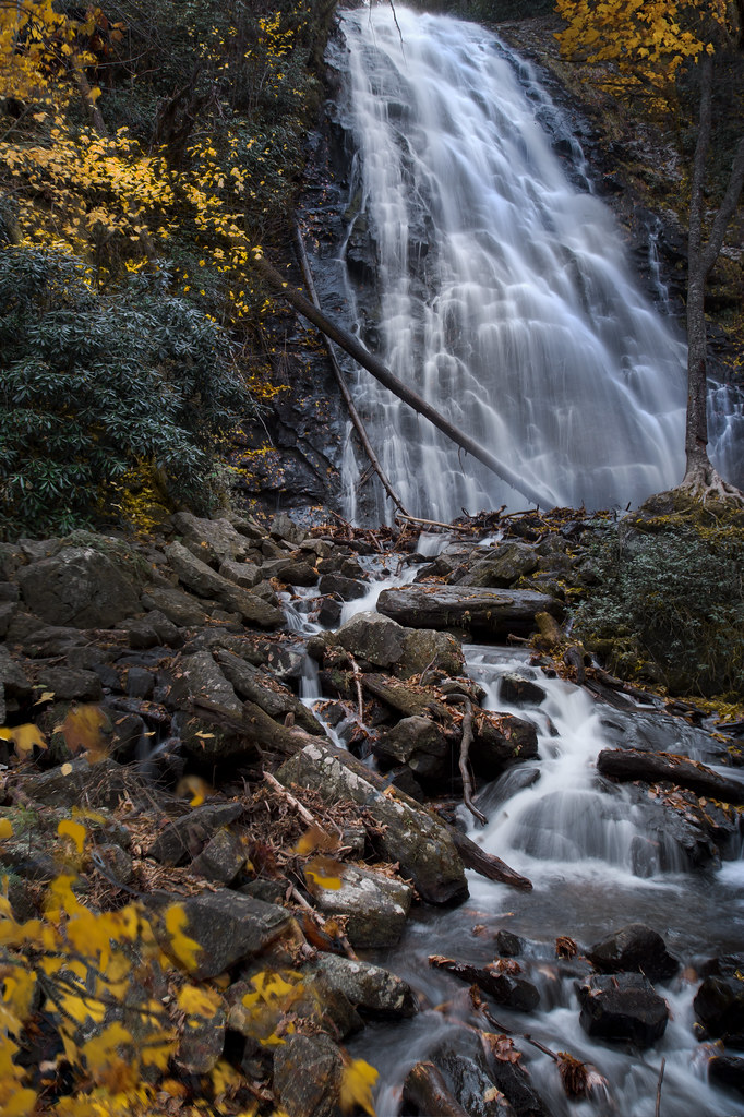
autumn wanes at Crabtree Falls

Sunrise: Black Mountains, NC

Deep Gap Trail
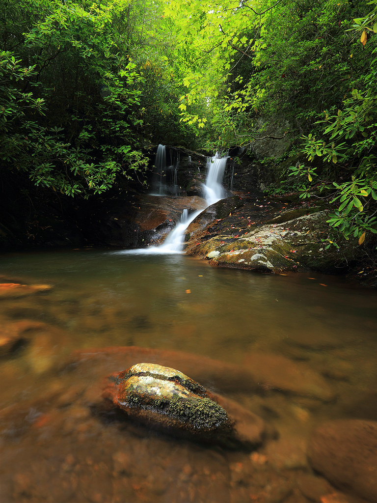
White Oak Creek

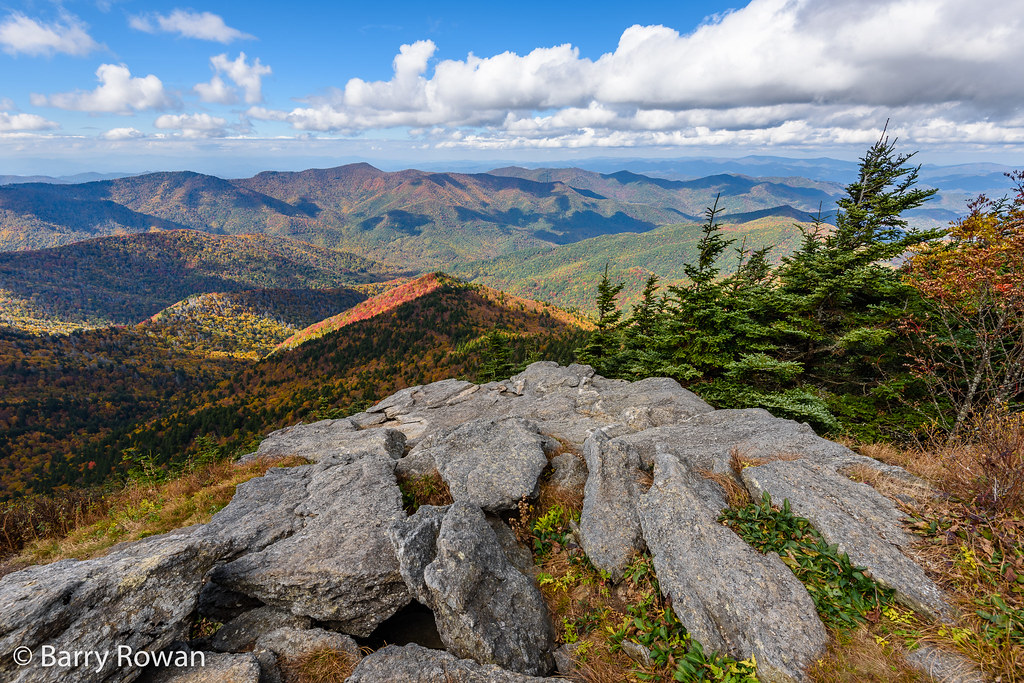
The View From The Top: Mountains

Western North Carolina Mountain View

Falls on Whiteoak Creek
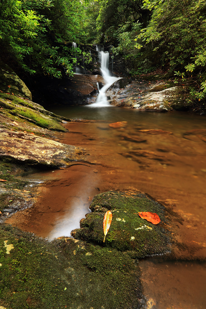
White Oak Creek Falls

Mount Mitchell

View from Little Butt

View from Little Butt

Summit View from W4C/CM-009 - Big Butt

View from Little Butt

Whiteoak Creek Falls

CSX Q692 @ Green Mountain

Black Mountain Crest Trail

Black Mountain Crest Trail

Black Mountain Crest Trail

Black Mountain Crest Trail

Black Mountain Crest Trail

Black Mountain Crest Trail

Light On The Hill: WNC
Topographic Map of Burnsville Independent, 19 East Blvd, Burnsville, NC, USA
Find elevation by address:

Places near Burnsville Independent, 19 East Blvd, Burnsville, NC, USA:
Burnsville Town Center
Burnsville Town Hall
Burnsville
505 Reservoir Rd
Ivy Street
421 Mother-in-law Ln
28 Summit St
Carolina Mountain Realty, Inc
423 Mother-in-law Ln #421
Academy Street
408 Mother-in-law Ln
506 W Main St
Hemlock Lane
West Us Highway 19 East
220 Westover Dr
219 Mc Intosh Ave
219 Mc Intosh Ave
40 Dale St
126 Dale St
111 Robertson St
Recent Searches:
- Elevation of Corso Fratelli Cairoli, 35, Macerata MC, Italy
- Elevation of Tallevast Rd, Sarasota, FL, USA
- Elevation of 4th St E, Sonoma, CA, USA
- Elevation of Black Hollow Rd, Pennsdale, PA, USA
- Elevation of Oakland Ave, Williamsport, PA, USA
- Elevation of Pedrógão Grande, Portugal
- Elevation of Klee Dr, Martinsburg, WV, USA
- Elevation of Via Roma, Pieranica CR, Italy
- Elevation of Tavkvetili Mountain, Georgia
- Elevation of Hartfords Bluff Cir, Mt Pleasant, SC, USA