Elevation of Hortons Creek Road, Hortons Creek Rd, Burnsville, NC, USA
Location: United States > North Carolina > Yancey County > Burnsville > Burnsville >

Longitude: -82.418829

Latitude: 35.8790821

Elevation: 836m / 2743feet

Barometric Pressure: 92KPa

Elevation Map:

elevation map of Hortons Creek Road, Hortons Creek Rd, Burnsville, NC, USA
Satellite Map:

Satellite map of Hortons Creek Road, Hortons Creek Rd, Burnsville, NC, USA
Related Photos:

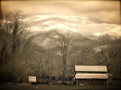
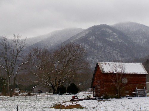
winter snow mountains sepia barn manipulated geotagged effects spring country olympus aviary tinroof dillingham barnardsville 2013 mystuart
East of Dillingham
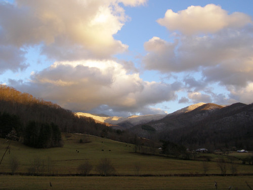
snow bigivy nc mountains wnc blueridgeparkway valley dillingham light cumulus
Over the Blacks Range
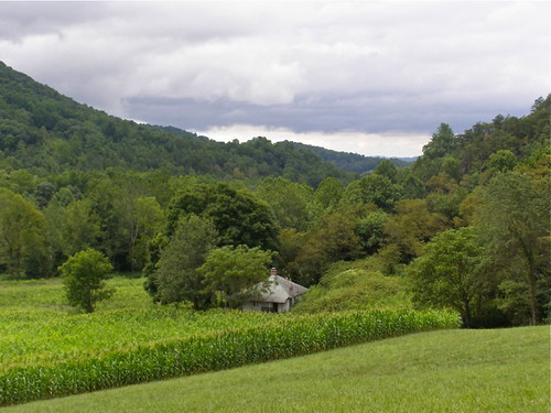
summer sky mountains architecture buildings corn south august 2006 maize bungalow melystu
Nearly Engulfed
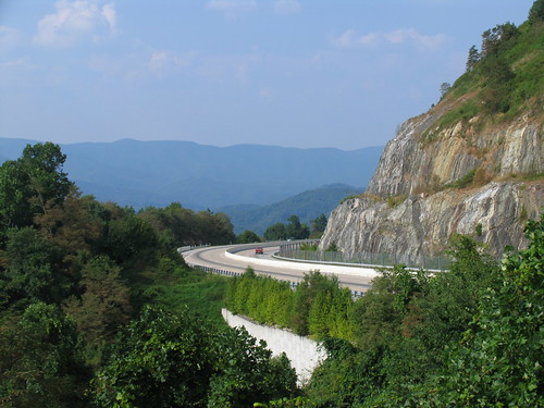
mountains tennessee favorites 2007 i26
I-26 West view
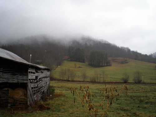
winter mountains green wet misty clouds barn dark geotagged nc rainy pasture chilly hay shrouded dillingham 2011 pokeweed mystuart
Dark and Misty
potential wnc 61011
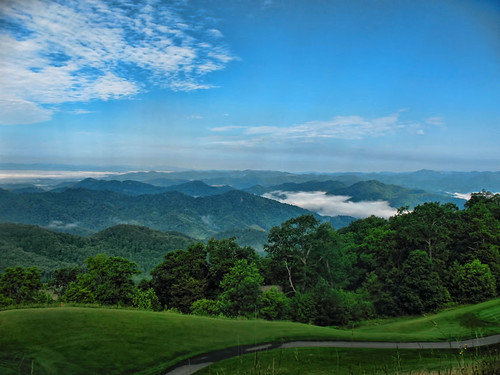
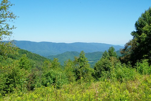
Western North Carolina Mountain View
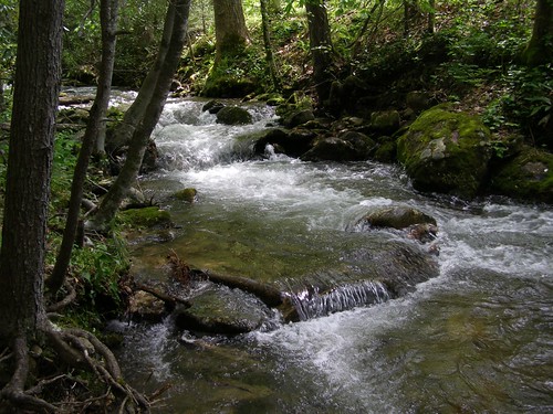
autumn nature water creek river geotagged nc video stream carolina pisgahnationalforest usfs 2011 mystuart
7-Second Video: Corner Rock Creek, Pisgah National Forest
uploaded:by=flickrmobile flickriosapp:filter=salamander salamanderfilter scenicwolfmountainresort
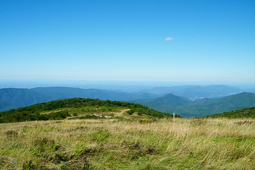
A mountain view
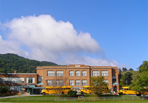
school sky mountains brick history clouds geotagged nc highschool learning teaching schoolbus elementary yellowschoolbus barnardsville buncombecounty melystu ncpedia
Mountain School
usa house snow history architecture geotagged nc historic veranda twostory democrat preservation 2011 nationalregister melystu carterswain
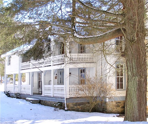
Carter-Swain House
snow creek usfs 2013 bigivy mystuart cornerrock
Solo Creek
house history architecture buildings nc hill victorian bank madison commercial madisoncounty marshill creativereuse melystu
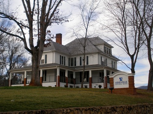
The Bank
signs cinema color nc theater movies mummy topaz burnsville yancey westernnc 3921 20080815
THE MUMMY 3
color fall nc northcarolina barnardsville nc197
NC 197 (Fall, 2010)
usa house snow history architecture geotagged nc historic veranda twostory democrat preservation 2011 nationalregister melystu carterswain
Carter-Swain House
mountain tennessee bald appalachian erwin
Bald Mountain
color fall nc northcarolina barnardsville nc197
NC 197 (Fall, 2010)
uploaded:by=flickrmobile flickriosapp:filter=salamander salamanderfilter scenicwolfmountainresort
Evening light at Scenic Wolf
park museum geotagged nc historic ccc 1934 firetower 2010 newdeal barnardsville heritageday bigivy littlesnowball melystu
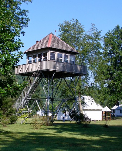
Little Snowball Fire Tower, 1934
street mountain gap appalachian sampson
Appalachian Trail
mountains fall leaves nc northcarolina nc197 canerivergap
NC 197 Fall Trip [10/16/2011]
fograinsunsetgodsraystreeswncnc73142014ma western north carolina wnc burnsville nc mountains black white mountain landscape gods rays sunset
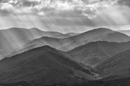
Blue Ridge Sunset (2014 07 03 -3796)
travel autumn trees vacation usa mountains fall tourism nature leaves nc asheville fallcolors unitedstatesofamerica northcarolina visit aerial autumnleaves autumncolors foliage explore watershed aerialphoto blueridgemountains aerialphotography blueridgeparkway dillingham wnc watersupply westernnorthcarolina aerialphotographer bigivy banardsville
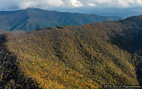
Blue Ridge Parkway with Autumn Colors
rimeice blueridgeparkway northcarolina fencerow geotagged archaic oldword frost frozenfog hff
Rime Ice
life green canon catchycolors photography christ god path jesus joy christian bible christianity inspirational promise encourage mountainpath verse encouragement bibleverse northcarolinamountains precept southernphotography psalm1611 canont2i canonrebelt2i lightattheendofapath youwillshowmethepathoflife highpasturesretreatcenter momentstohold
You will show me the path of life
square squareformat iphoneography instagramapp uploaded:by=instagram foursquare:venue=4d4af4f77ac1a0902cf13ea9
The Cure
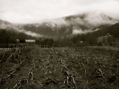
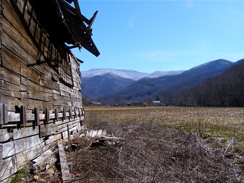
blackandwhite mountains clouds barn northcarolina wnc cornstubble
Fog, Grey, Mist--
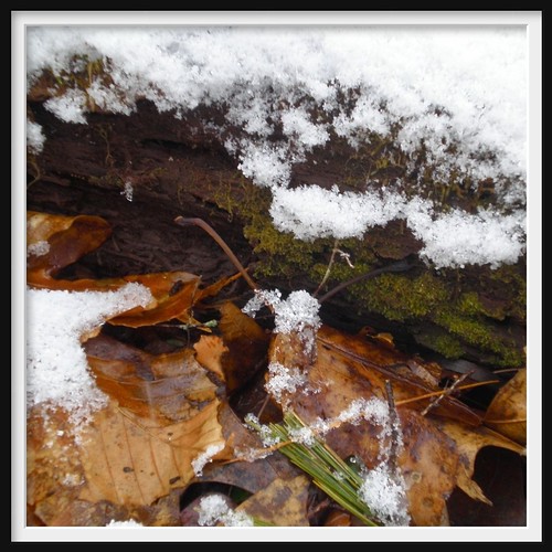
winter snow leaves square nc moss fdsflickrtoys mat frame trunk pisgah bevel usfs 2013 bigivy mystuart
Square Framed
trees winter snow mountains barn rural nc country barns redbarn barnardsville 2013 mystuart hawbranch
Haw Branch Barns
winter snow mountains barn rural landscape geotagged nc historic dillingham buncombecounty 2013 bigivy mystuart
Yesterday's Barn
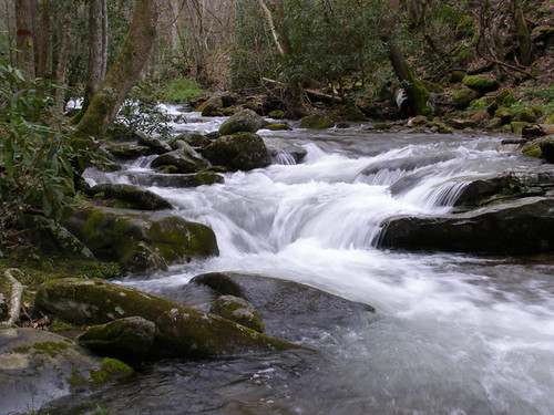
creek forest flow moss woods rocks rhododendron watershed environment lichen mountainside 2008 watercourse walkercreek pisgahnationalforest nf colemanboundary usfs bigivy mystuart
Flush at Walker Creek, 2009
travel autumn trees vacation usa mountains fall tourism nature leaves nc asheville fallcolors unitedstatesofamerica northcarolina visit aerial autumnleaves autumncolors foliage explore watershed aerialphoto blueridgemountains aerialphotography blueridgeparkway burnsville mountmitchell wnc watersupply westernnorthcarolina aerialphotographer mountmitchellstatepark yancycounty
Mount Mitchell State Park in Autumn Colors
My Favorite
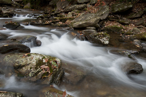
water rain creek geotagged nc spring stream explore watershed pisgah buncombecounty explored 2013 bigivy mystuart cornerrockcreek ivytownship
Cascade: Corner Rock Creek
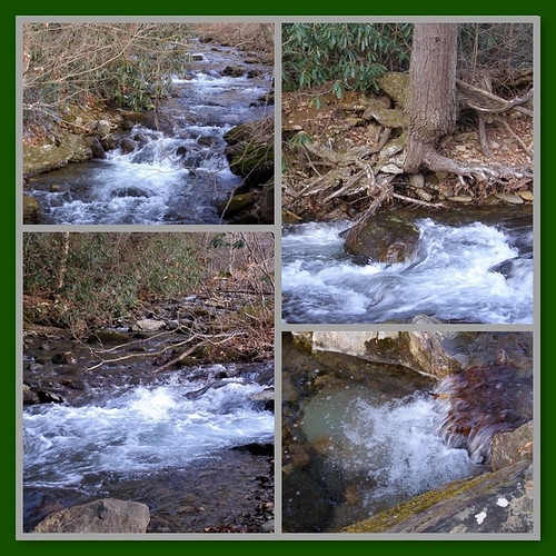
trees winter wild mountains water rock creek river flow nc stream mosaic roots course rapids rush rhododendron watershed boundary walkercreek froth pisgahnationalforest 2011 mystuart
Mosaic at Walker
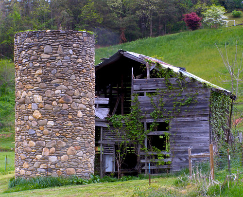
history barn rural landscape nc 1930s historic silo valley agriculture silage 2010 barnardsville bigivy
Rock Silo, Barnardsville
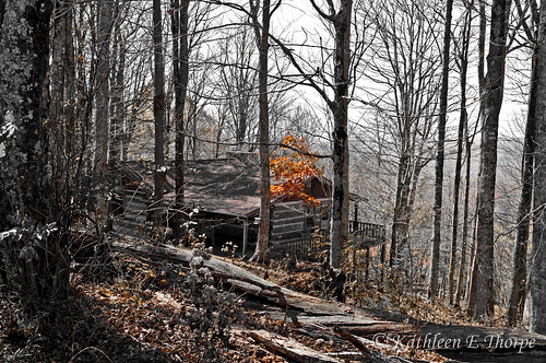
autumn trees red orange mountains fall leaves yellow cabin woods northcarolina autumncolors logcabin selectivecolorization wolflaurel
Cabin in the Woods - Selective Colorization