Elevation of New Ground Dr, Burnsville, NC, USA
Location: United States > North Carolina > Yancey County > Price Creek >
Longitude: -82.391943
Latitude: 35.8692834
Elevation: 912m / 2992feet
Barometric Pressure: 91KPa
Elevation Map:
Satellite Map:
Related Photos:
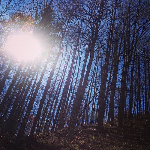
East of Dillingham
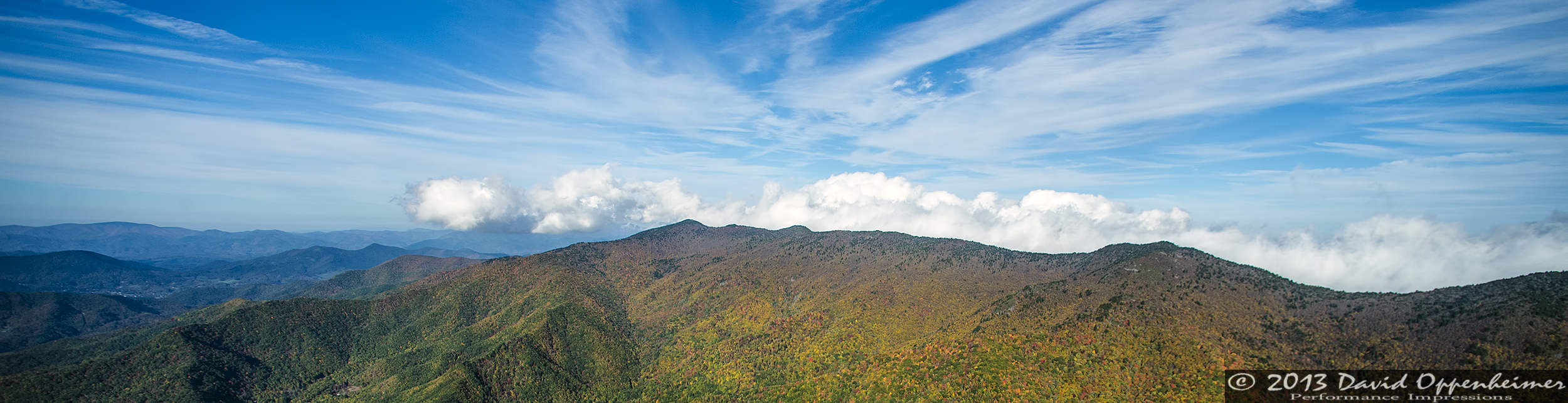
Over the Blacks Range

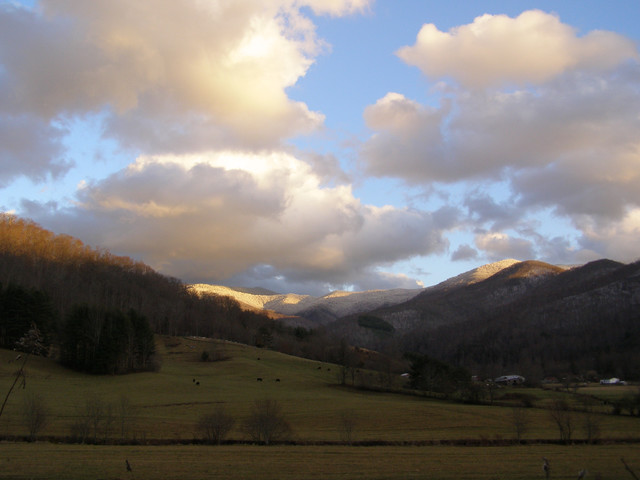
blue ridge valley

So. This isn't a bad view for my back yard. #notcomplaining #waittillwinter

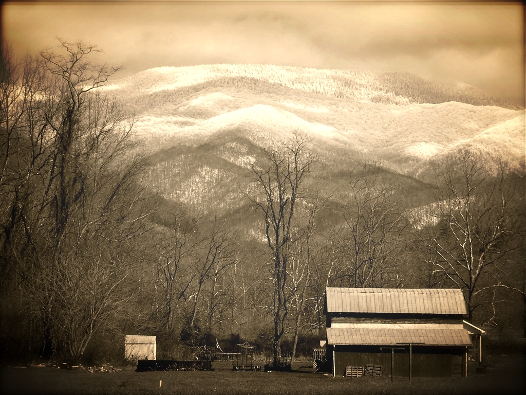
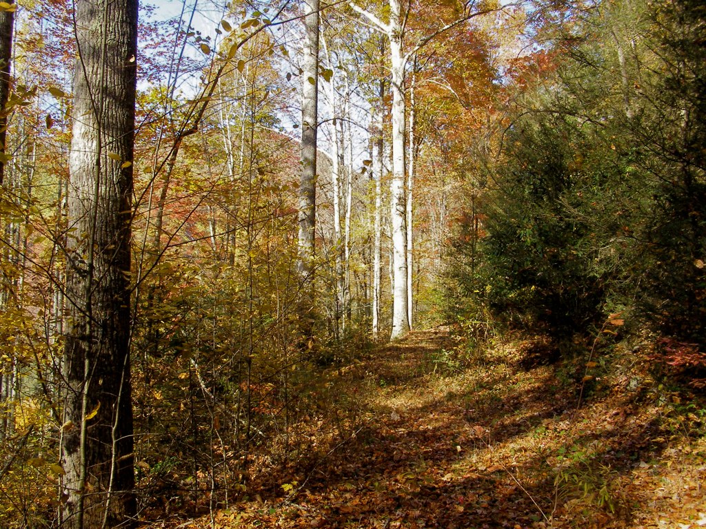
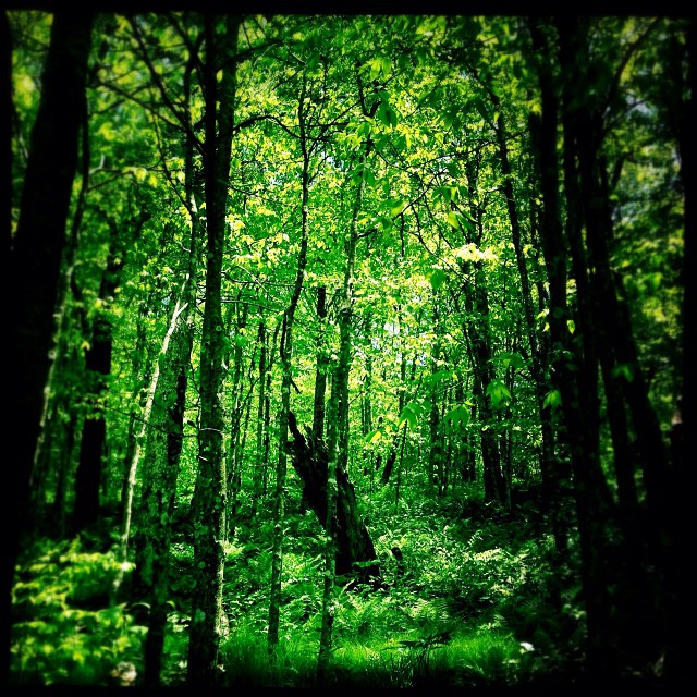
Nearly Engulfed

Dark and Misty
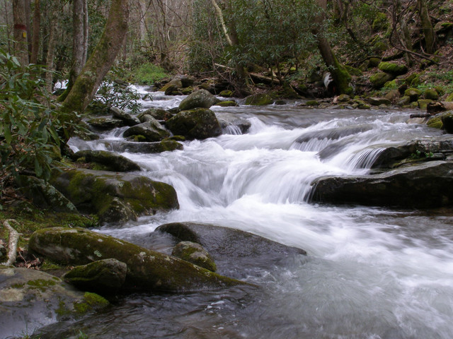
7-Second Video: Corner Rock Creek, Pisgah National Forest

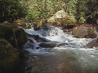
Falls on Whiteoak Creek

A mountain view
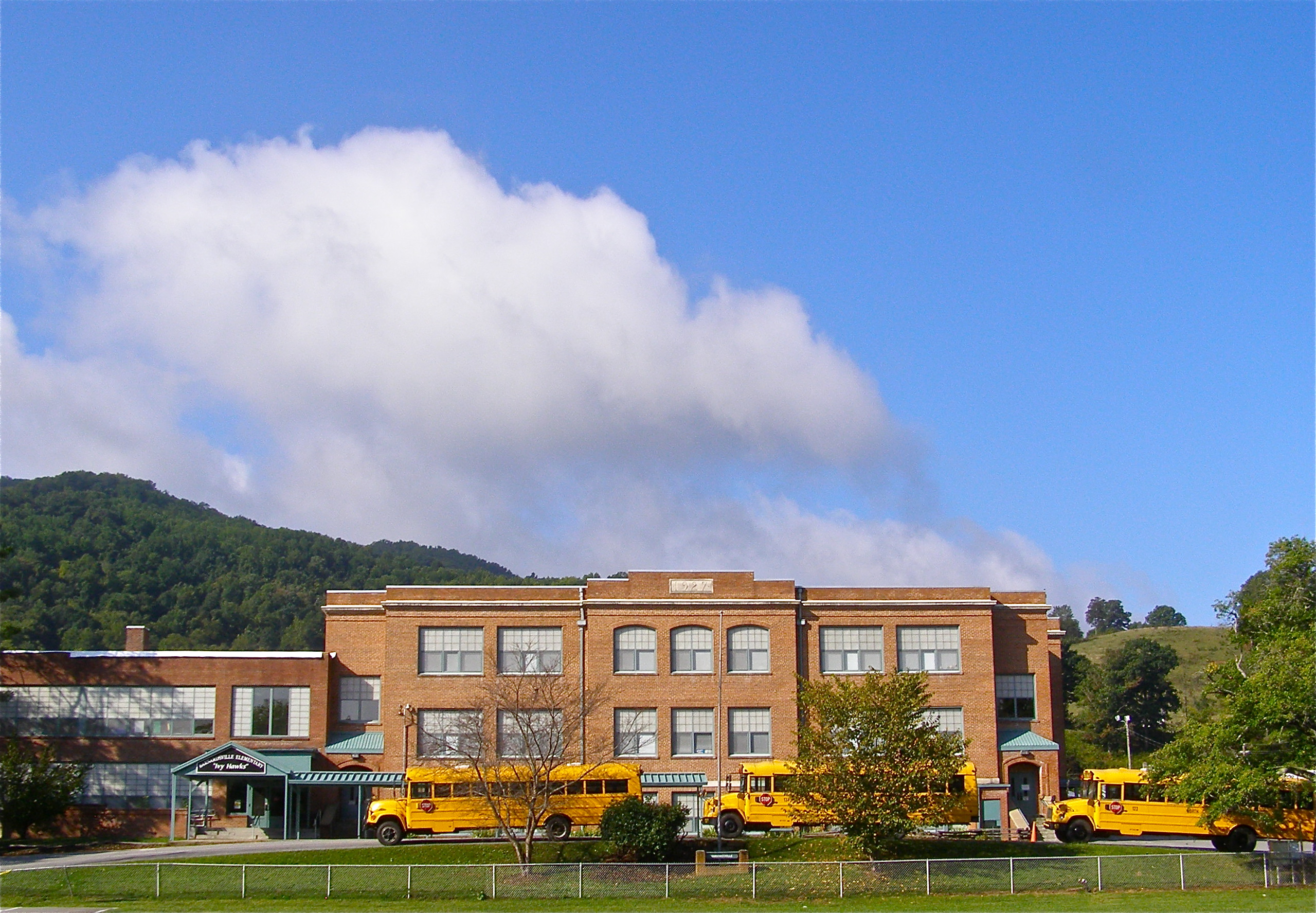
Mountain School
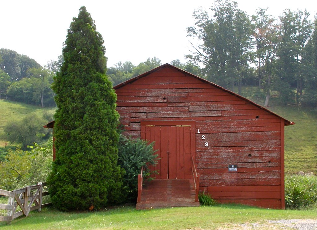
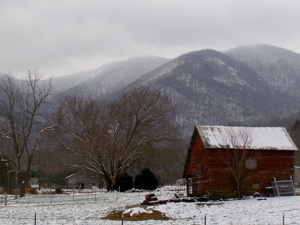
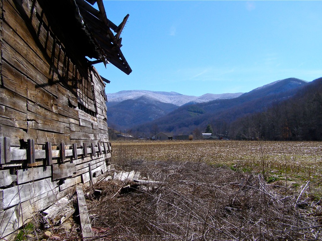
Red Barn with Tree
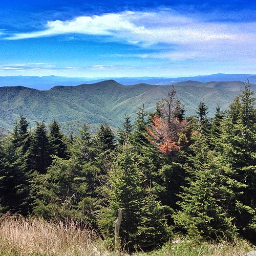
View from Mount Craig. #nofilter #asheville #blueridge
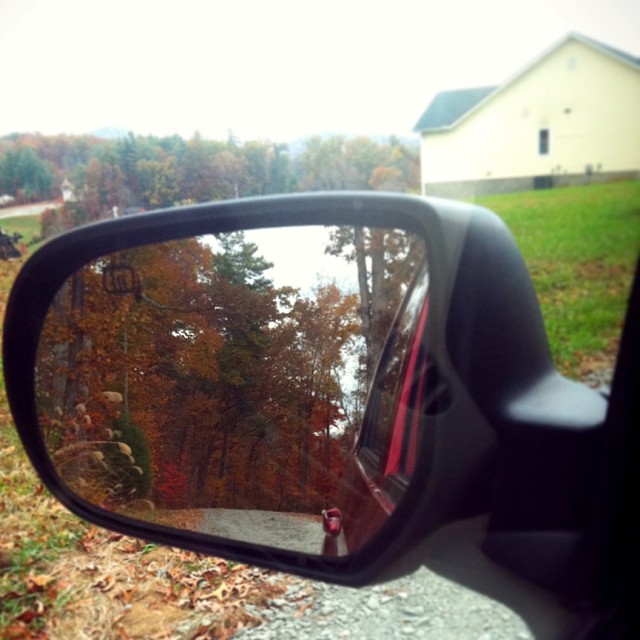
Check out the#beautiful#view in the#mirror

NC 197 (Fall, 2010)

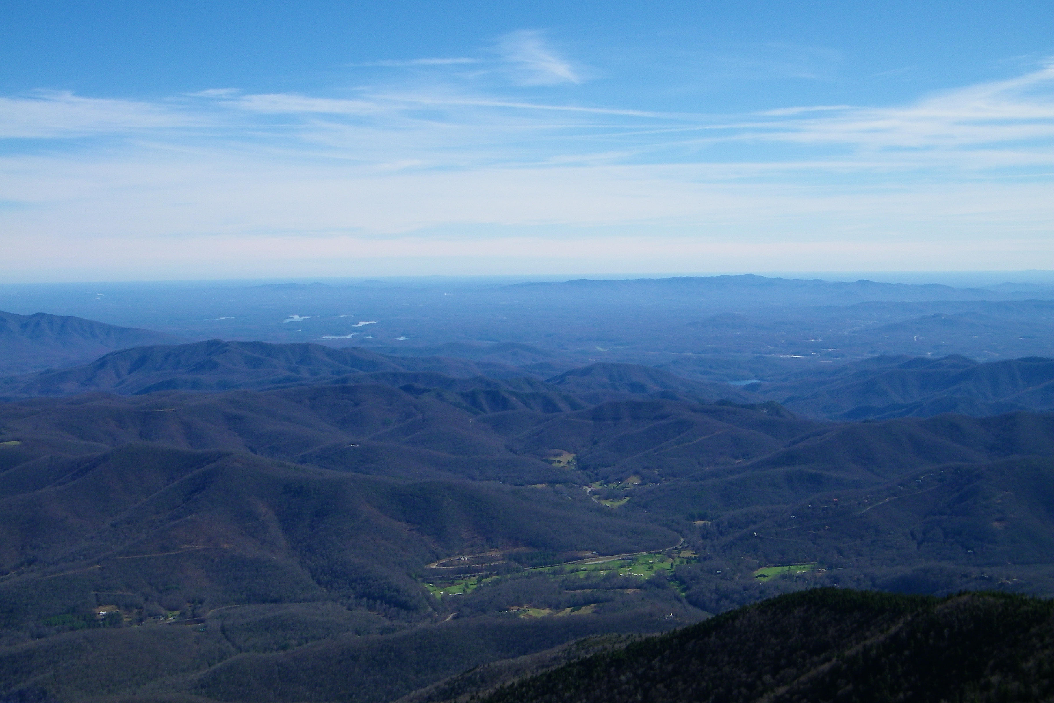
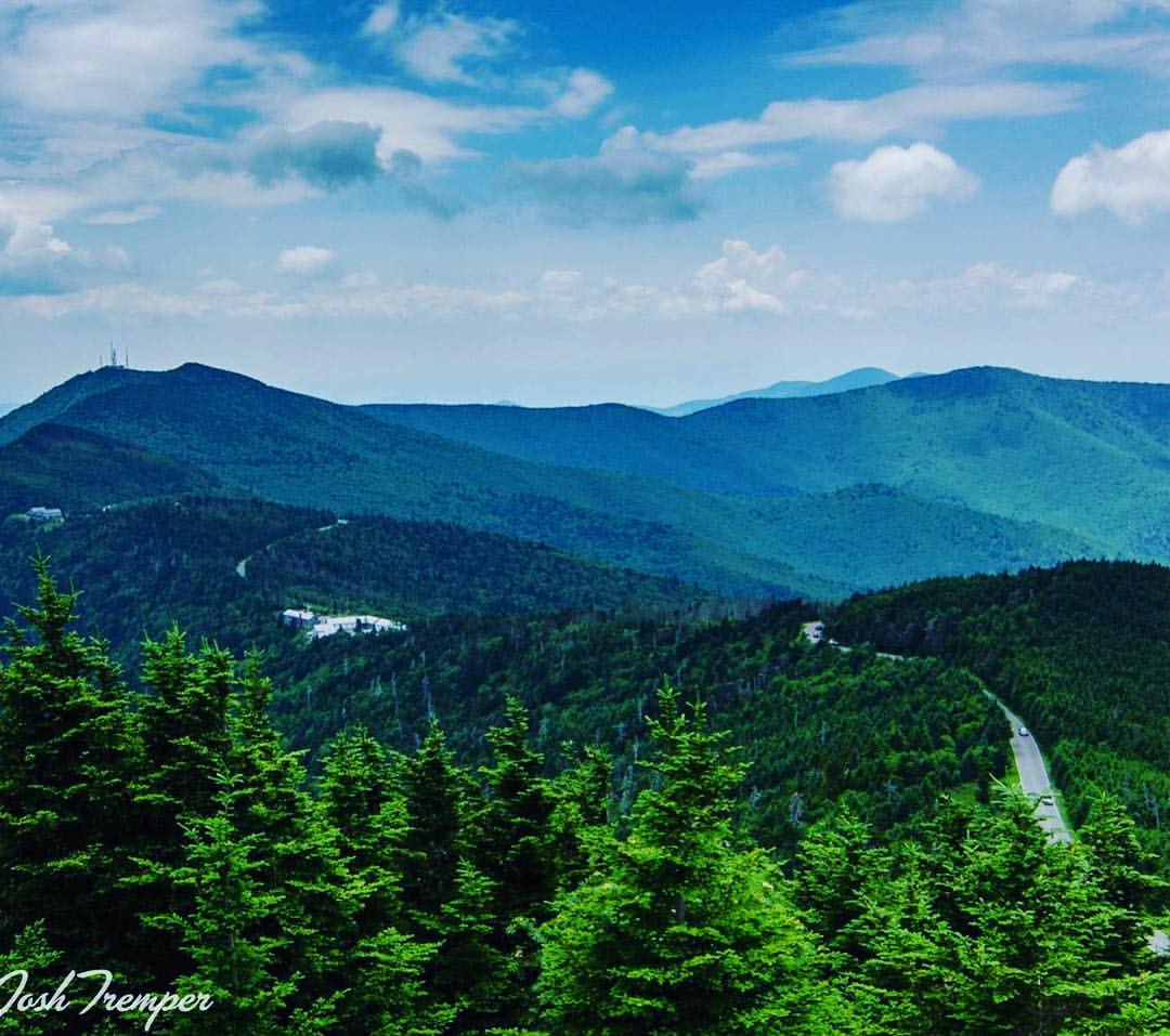
View from Mt. Mitchell
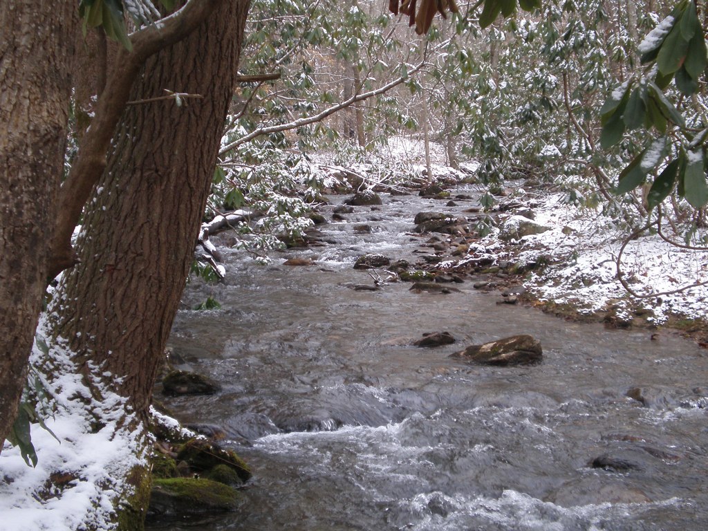
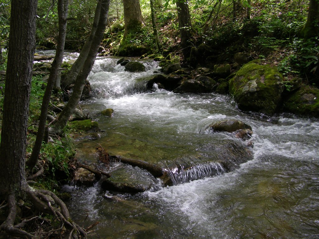
Solo Creek

NC 197 (Fall, 2010)
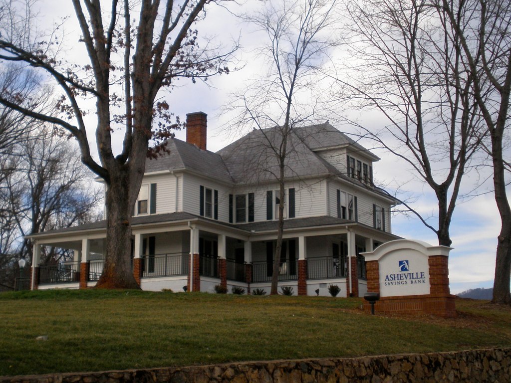
The Bank

Evening light at Scenic Wolf
Black Mountain Crest Trail

After the Storm

Nature and Man

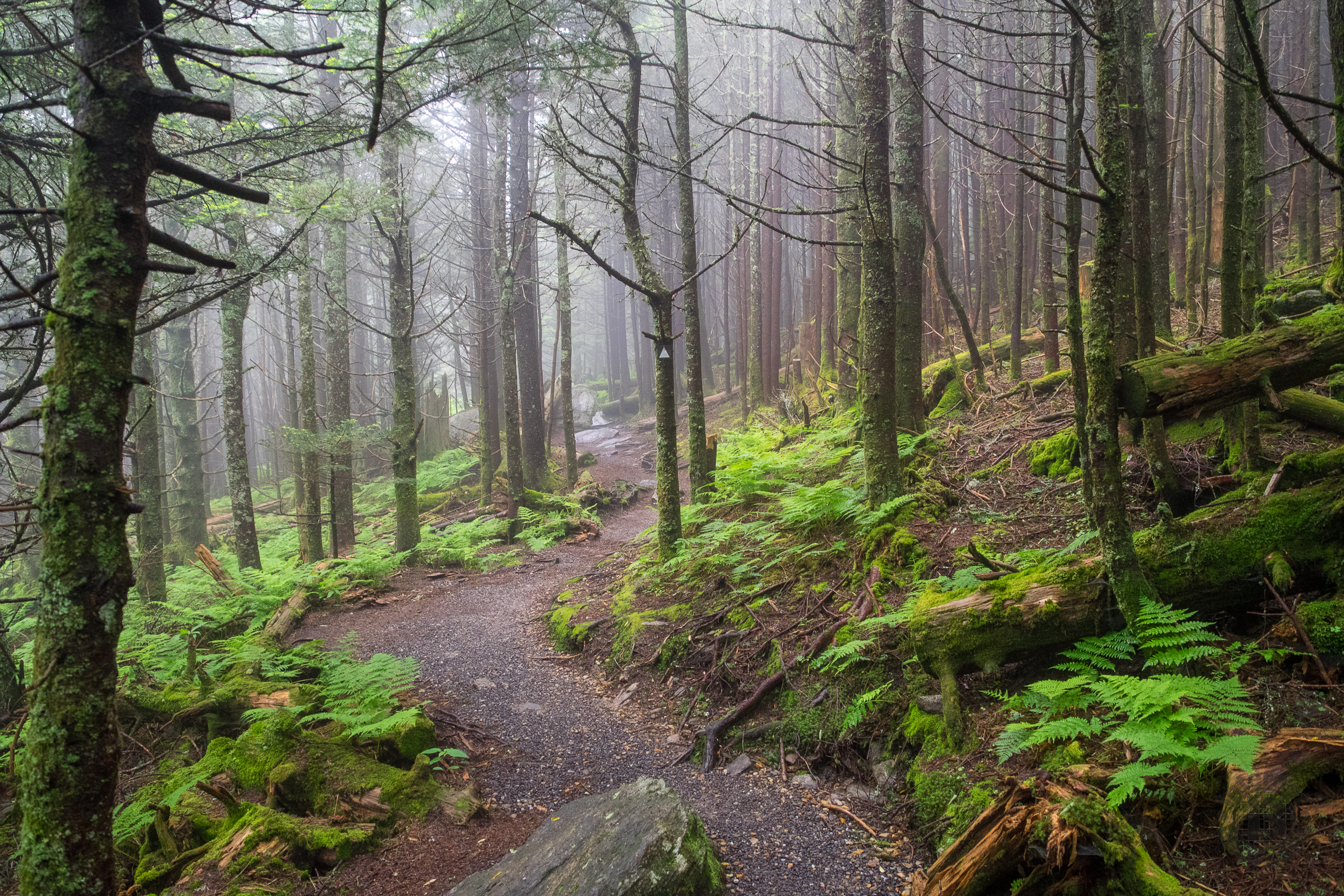
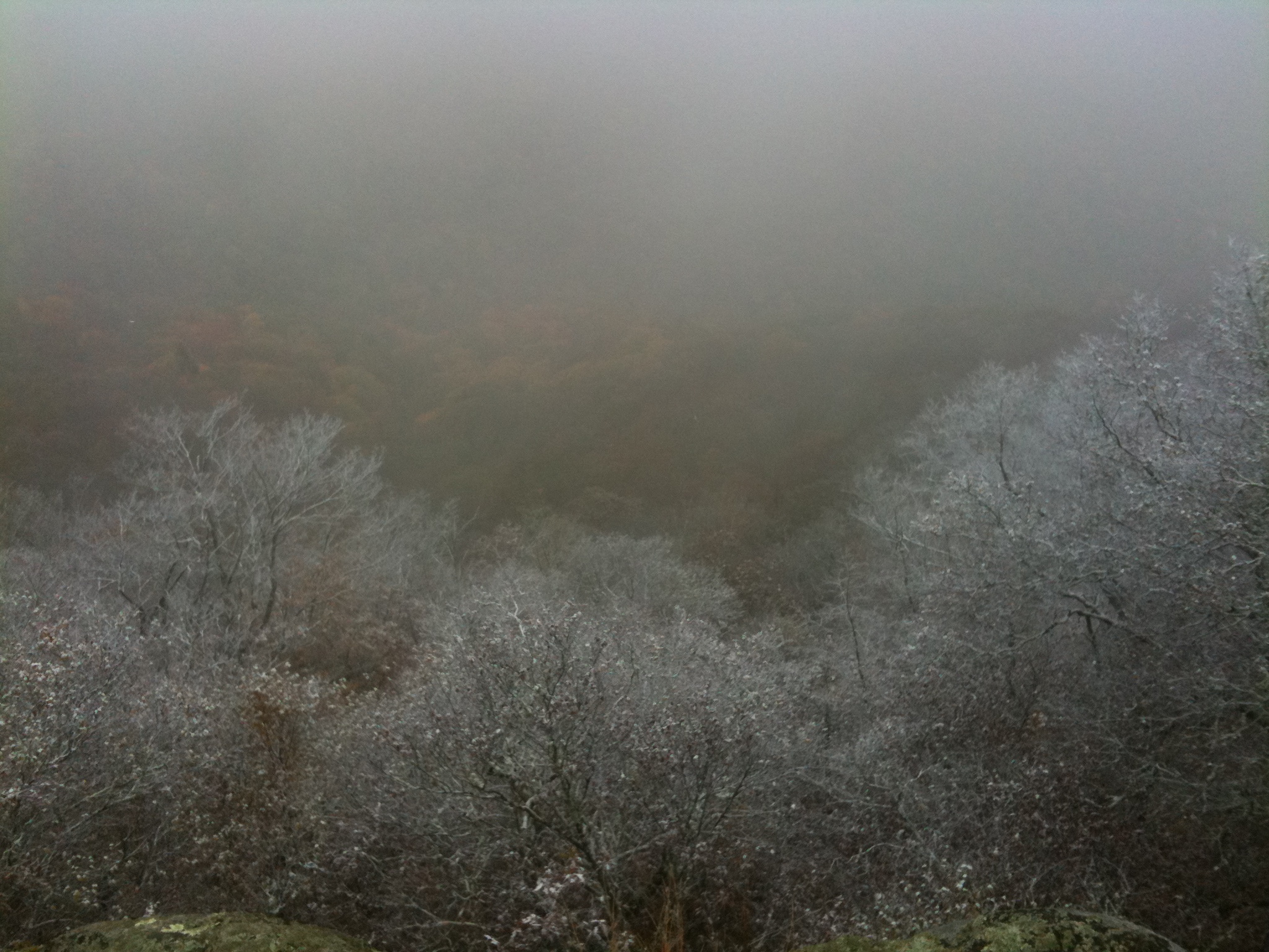
Fog, Grey, Mist--
All's Well
Haw Branch Barns
The Upland
Flush at Walker Creek, 2009
My Favorite
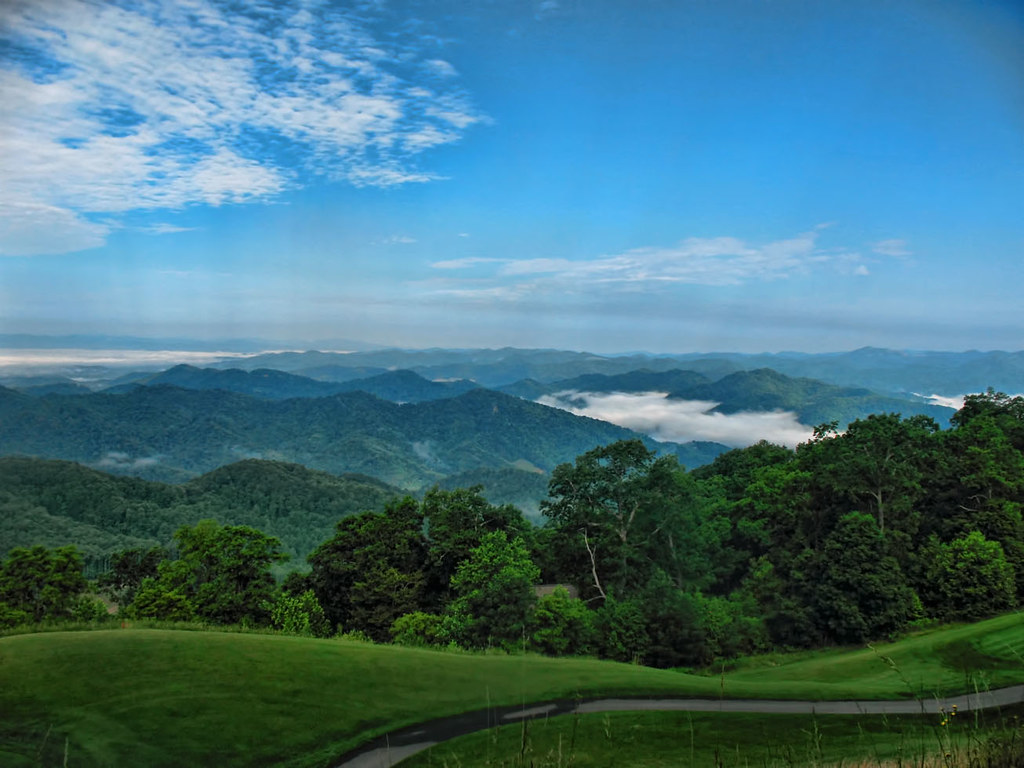
Western North Carolina Mountain View
The Cure
The light fades so quickly here at the farm in the winter. Soft light through bare trees, and peace. #nature #appalachia #riversongmountainsanctuary #wildkatuahhealingarts
Balsam Nature Trail, Mt. Mitchell State Park, North Carolina
Yesterday's Barn
Mount Mitchell State Park in Autumn Colors

Wide Water
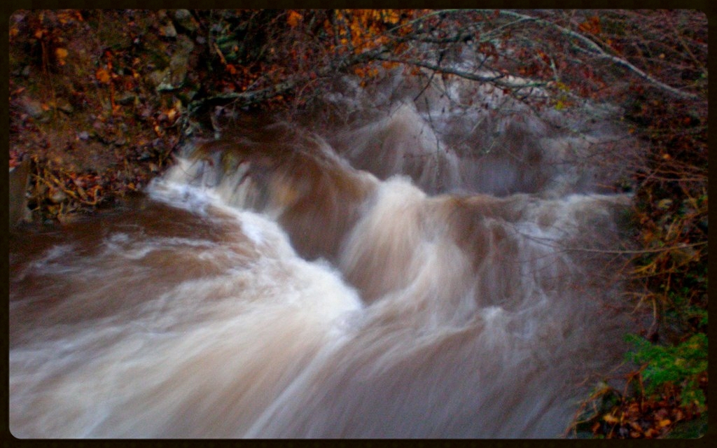
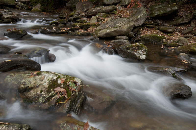
Cascade: Corner Rock Creek
The parkway looking like a ribbon laid over the mountains.

Spring Rain
Icing Forest
Topographic Map of New Ground Dr, Burnsville, NC, USA
Find elevation by address:

Places near New Ground Dr, Burnsville, NC, USA:
477 New Ground Dr
737 Charity Ln
4000 Prices Creek Rd
Prices Creek Road
Prices Creek Road
Prices Creek Road
Prices Creek Road
274 White Pine Ln
190 Charity Ln
21 Penland Hollow Rd
Paint Gap
28 Old Cabin Ln
32 Hortons Creek Rd
2061 Banks Creek Rd
1499 Hortons Creek Rd
17 Mcpeters Ln
Hortons Creek Road
Hortons Creek Road
287 Crow Ln
278 Banks Creek Rd
Recent Searches:
- Elevation of Corso Fratelli Cairoli, 35, Macerata MC, Italy
- Elevation of Tallevast Rd, Sarasota, FL, USA
- Elevation of 4th St E, Sonoma, CA, USA
- Elevation of Black Hollow Rd, Pennsdale, PA, USA
- Elevation of Oakland Ave, Williamsport, PA, USA
- Elevation of Pedrógão Grande, Portugal
- Elevation of Klee Dr, Martinsburg, WV, USA
- Elevation of Via Roma, Pieranica CR, Italy
- Elevation of Tavkvetili Mountain, Georgia
- Elevation of Hartfords Bluff Cir, Mt Pleasant, SC, USA