Elevation of Preston Township, MN, USA
Location: United States > Minnesota > Fillmore County >
Longitude: -92.046915
Latitude: 43.6384567
Elevation: 331m / 1086feet
Barometric Pressure: 97KPa
Elevation Map:
Satellite Map:
Related Photos:

Rooms With a View

Getting a good view of the JEM from out here on the street.

Harmony Enterprises Facility

wish that was my view

View From A Restaurant - Tiltshift

Niagra Cave 64

Autumn Comes Softly

Lanesboro, Minnesota USA 20170503-_DSC6717

It's the smoothest turbulence in town.

Root River Falls

CORN SHOCKS
Lanesboro MN (1)

Limestone quarry near Forestville, MN

07200_G.jpg

Forestville State Park Field - Minnesota

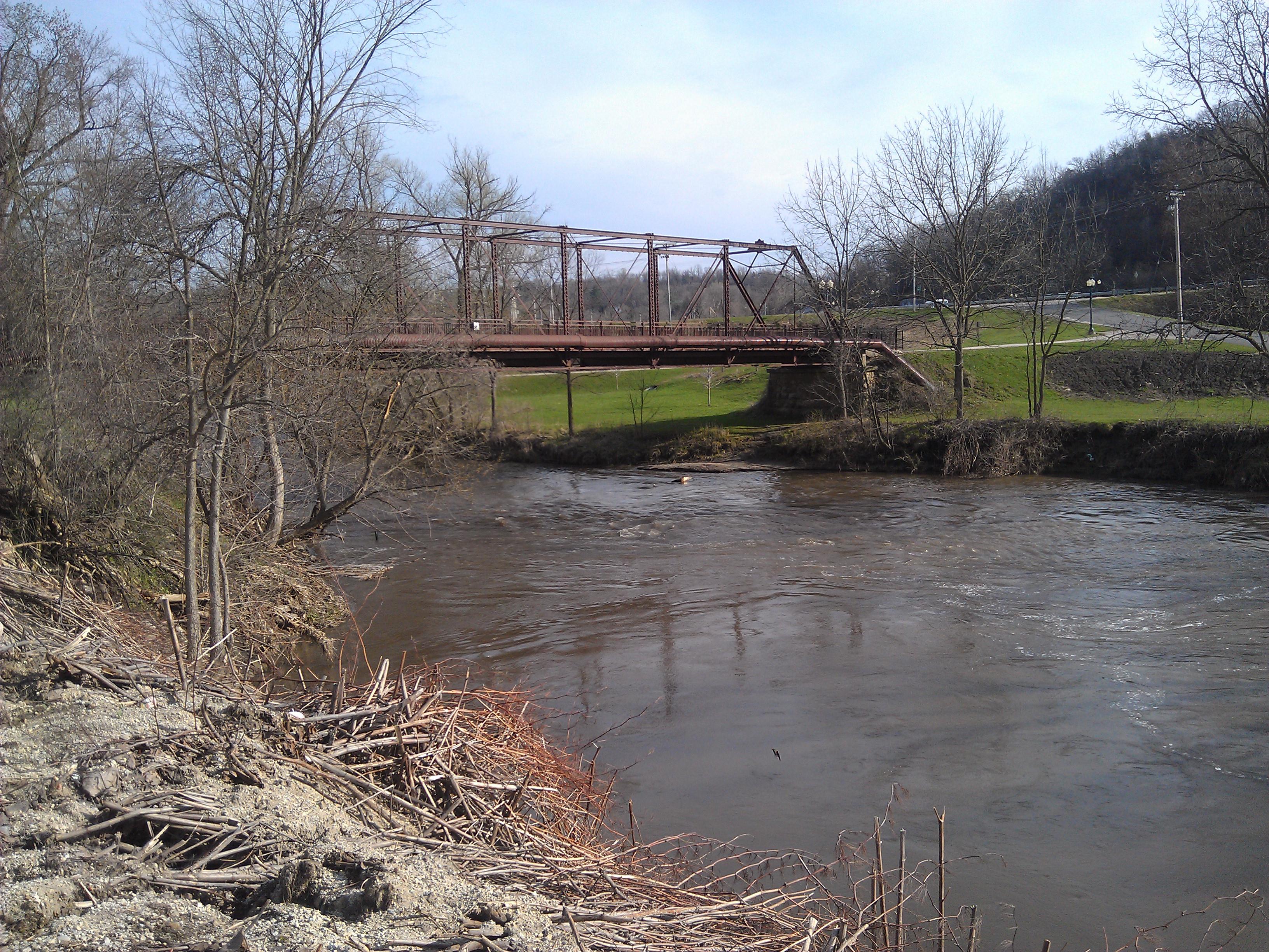
Preston Overlook- Preston MN (4)

Preston Overlook- Preston MN (3)

Forestville, Minnesota

Administration Building, Veteran's Cemetery | Preston, MN | BTR
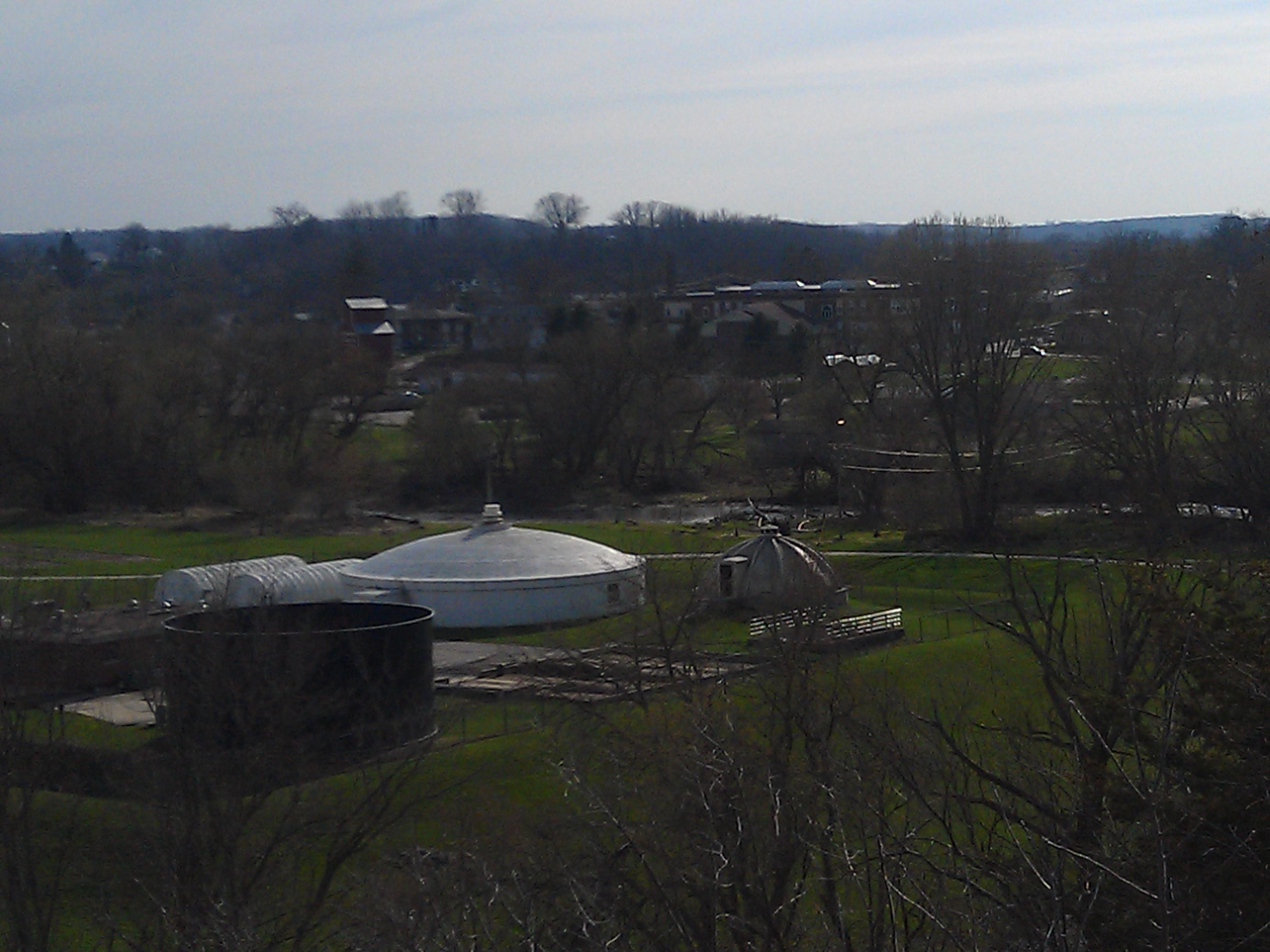
Preston Overlook- Preston MN (2)

Harmony, Minnesota

Limestone quarry near Forestville, MN

Committal Shelter, Veteran's Cemetery | Preston, MN | BTR

Gravel pile in limestone quarry

Limestone quarry near Forestville, MN

Maintenance Building, Veteran's Cemetery | Preston, MN | BTR

2016-08-28 09.48.18
Topographic Map of Preston Township, MN, USA
Find elevation by address:

Places near Preston Township, MN, USA:
400 Fillmore St W
Preston
Fillmore County
Carrolton Township
1000 Parkway Ave S
Lanesboro
201 Ridgeview Ln S
201 Ridgeview Ln S
Pilot Mound Township
Co Rd, Preston, MN, USA
26692 Evening Dr
MN-30, Chatfield, MN, USA
st Ave, Lanesboro, MN, USA
29760 Minor Road
Co Hwy 43, St Charles, MN, USA
Forestville Township
Saratoga Township
Chatfield
Co Hwy 6, St Charles, MN, USA
Orchard Road, Spring Valley, MN, USA
Recent Searches:
- Elevation of Corso Fratelli Cairoli, 35, Macerata MC, Italy
- Elevation of Tallevast Rd, Sarasota, FL, USA
- Elevation of 4th St E, Sonoma, CA, USA
- Elevation of Black Hollow Rd, Pennsdale, PA, USA
- Elevation of Oakland Ave, Williamsport, PA, USA
- Elevation of Pedrógão Grande, Portugal
- Elevation of Klee Dr, Martinsburg, WV, USA
- Elevation of Via Roma, Pieranica CR, Italy
- Elevation of Tavkvetili Mountain, Georgia
- Elevation of Hartfords Bluff Cir, Mt Pleasant, SC, USA