Elevation of Fillmore St W, Preston, MN, USA

Location: United States > Minnesota > Fillmore County > Preston >

Longitude: -92.085922

Latitude: 43.670379

Elevation: 290m / 951feet

Barometric Pressure: 98KPa

Elevation Map:

elevation map of Fillmore St W, Preston, MN, USA

Satellite Map:

Satellite map of Fillmore St W, Preston, MN, USA

Related Photos:

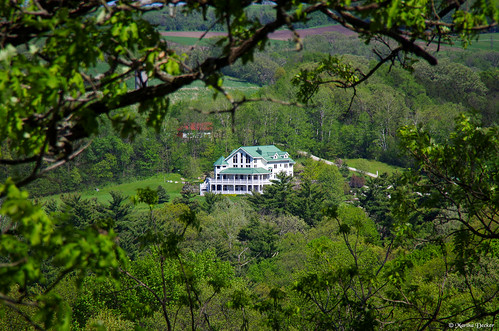
lanesboro minnesota minn mn farm farmland fillmore county marthadecker pentax k30 justpentax onlyinmn inspiration point ccc newdeal wayside rest scenic overlook us highway 16 state flickriver
Rooms With a View
2010 20100415 aliceinwonderland april april2010 fillmorecounty fillmorecountyminnesota harmony harmonyminnesota highway139 img5912v2 jem jemtheater mainavenue minnesota minnesota139 minnesotahighway139 minnesotaroute139 route139 stateroute139 building changeableletters cinema comingattractions doors doubleyellowline downtown downtownharmony evening eveningsun marquee minivan movietheater movietheatermarquee nowshowing onstreetparking parkedminivan popcorn popcornadvertisement reflectedsunlight smallmovietheater smalltowncinema smalltownmovietheater southminnesota southeastminnesota southeasternminnesota southernminnesota stopin stopinforpopcorn thejem theater theatermarquee twodoors unitedstates
Getting a good view of the JEM from out here on the street.
history recycling baler heco harmonyenterprises
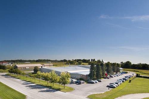
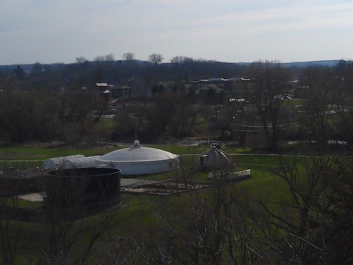
Harmony Enterprises Facility
farm mn lanesboro
wish that was my view
tiltshift
View From A Restaurant - Tiltshift
10stopndfilter biome ecosystem forestvillemysterycavestatepark minnesota southbranchrootriver autumn ethereal fall fog forest landscape leaves longexposer river riverbluff rocks seasons trees water
Autumn Comes Softly
exploreminnesota shoeleathermedia sonyalpha 1705xxbluffcountry fishing lanesboro minnesota river rootriver smalltown dam flyfishing landscape troutstream
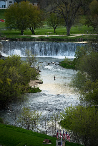
Lanesboro, Minnesota USA 20170503-_DSC6717
water waterfall strings lanesboro churning leagueofawesomeness
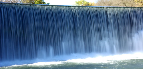
It's the smoothest turbulence in town.
Root River Falls
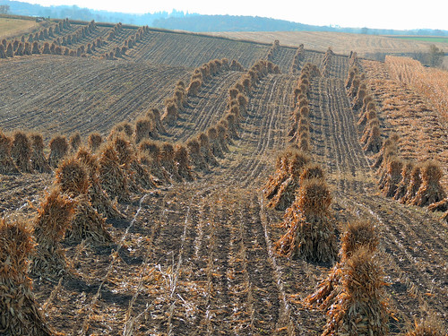
corn amish p510
CORN SHOCKS
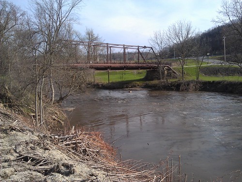
bridge minnesota river lanesboro rootriver fillmorecounty southbranchrootriver
Lanesboro MN (1)
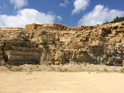
kasota limestone
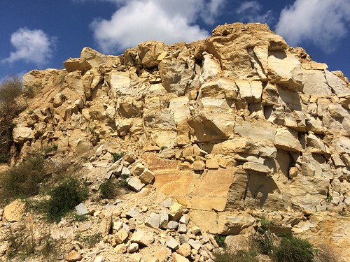
Limestone quarry near Forestville, MN
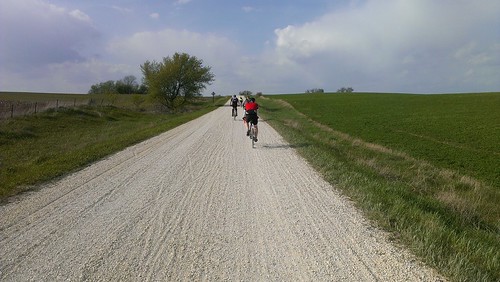
gravel almanzo almanzo100
2014-05-17 17.26.49
camping lanesboro theoldbarnresort
07200_G.jpg
forestville forestvillemysterycavestatepark minnesota preston field flowers statepark unitedstates us
Forestville State Park Field - Minnesota
minnesota preston mazda3 nationalregister nationalregisterofhistoricplaces us52 fillmorecounty prestonoverlook
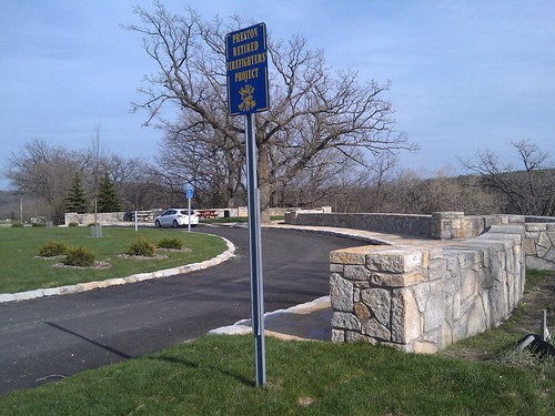
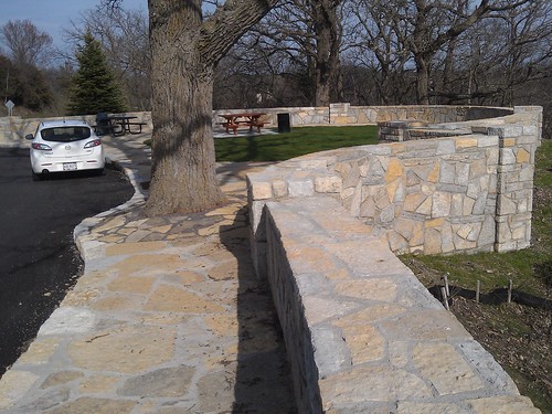
Preston Overlook- Preston MN (4)
minnesota preston mazda3 nationalregister nationalregisterofhistoricplaces us52 fillmorecounty prestonoverlook
Preston Overlook- Preston MN (3)
minnesota landscape scenery historic
Forestville, Minnesota
btr bentzthompsonrietow minnesota preston usa veteranscemetery cemetery exterior peterjsieger religious sacred sieger
Administration Building, Veteran's Cemetery | Preston, MN | BTR
minnesota preston nationalregister nationalregisterofhistoricplaces us52 fillmorecounty prestonoverlook
Preston Overlook- Preston MN (2)
minnesota mn fillmorecounty harmony landscapes northamerica unitedstates us
Harmony, Minnesota
kasota limestone
Limestone quarry near Forestville, MN
gravel
2014-10-05 11.52.21
btr bentzthompsonrietow minnesota preston usa veteranscemetery cemetery exterior peterjsieger religious sacred sieger
Committal Shelter, Veteran's Cemetery | Preston, MN | BTR
Gravel pile in limestone quarry