Elevation of Co Hwy 6, St Charles, MN, USA
Location: United States > Minnesota > Winona County > Saratoga Township >
Longitude: -91.979826
Latitude: 43.894649
Elevation: 357m / 1171feet
Barometric Pressure: 97KPa
Elevation Map:
Satellite Map:
Related Photos:

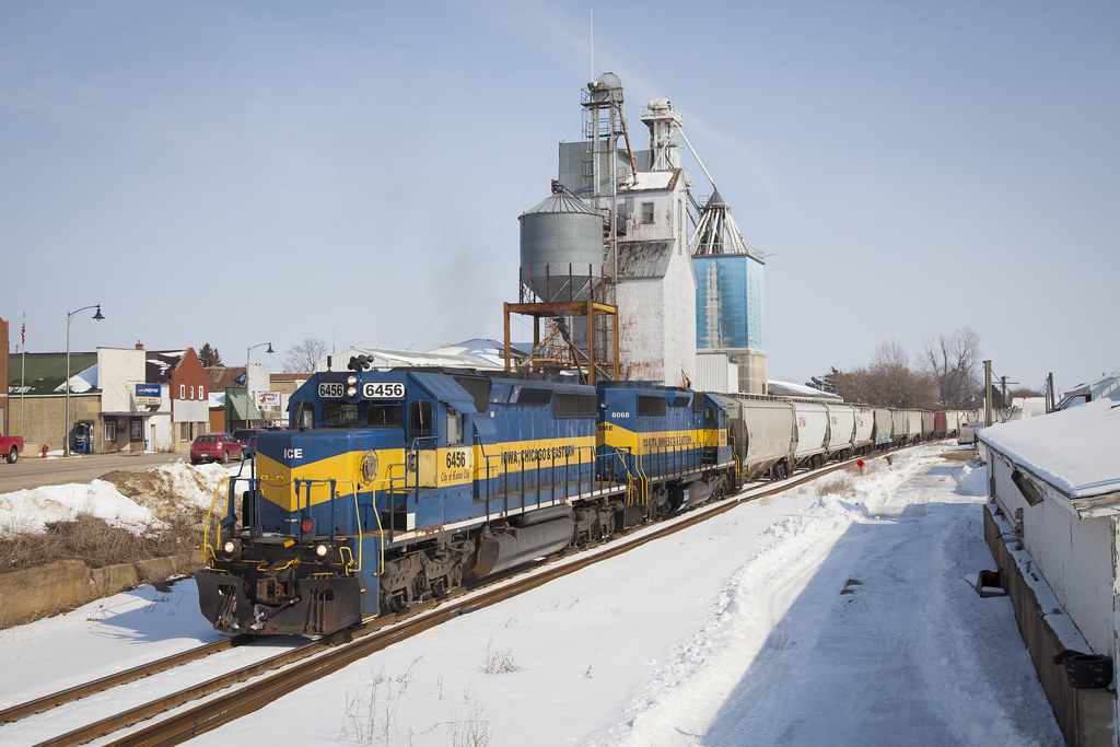
ICE 6212 Utica, MN

view from mom's front door
Elevation is Everything
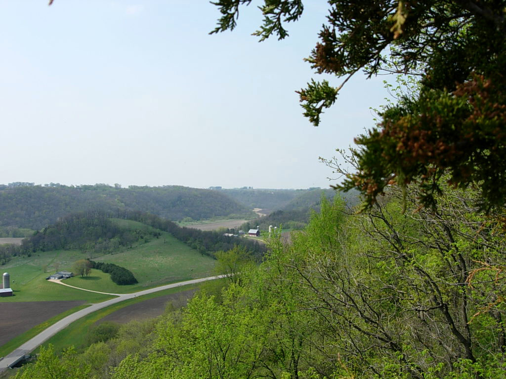
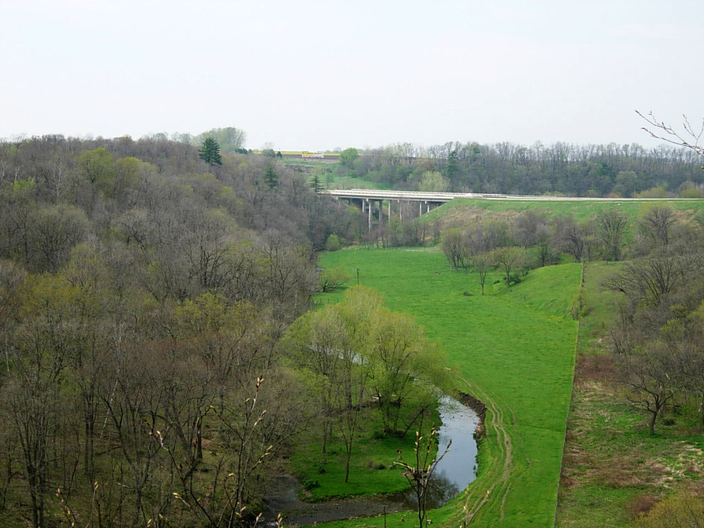
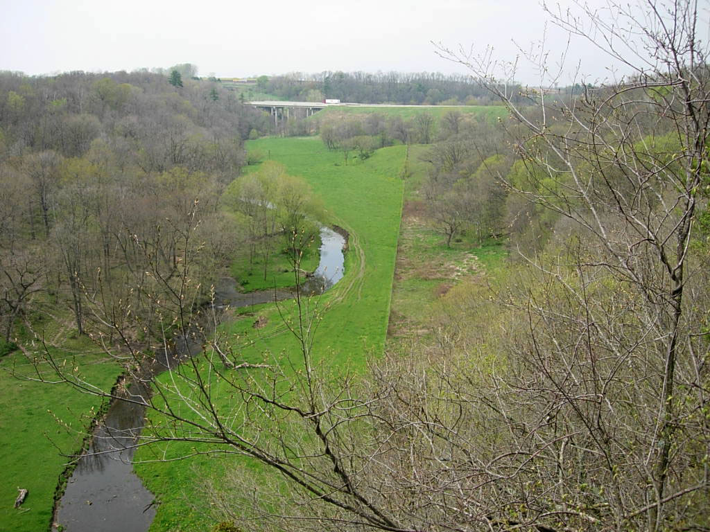
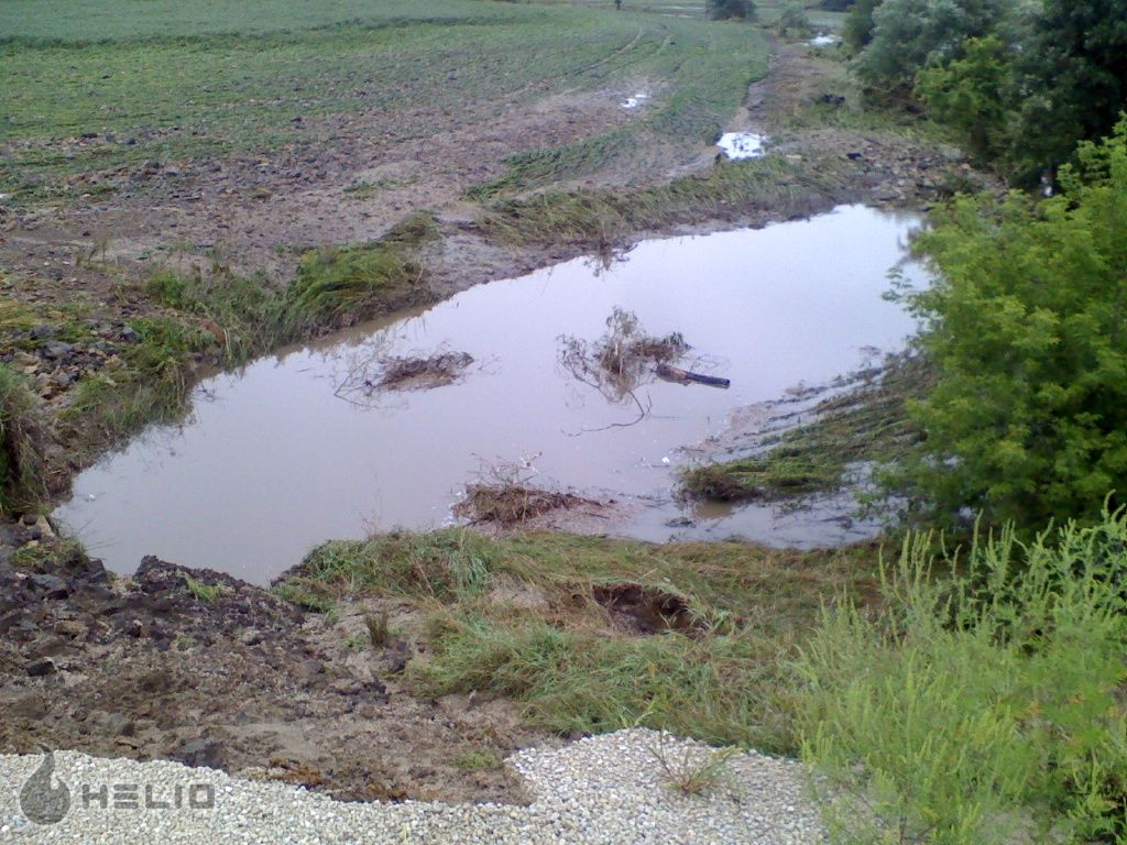
View of the Rush Creek Valley and Winona Co Rd 25
View of the Rush Creek Valley and Winona Co Rd 25
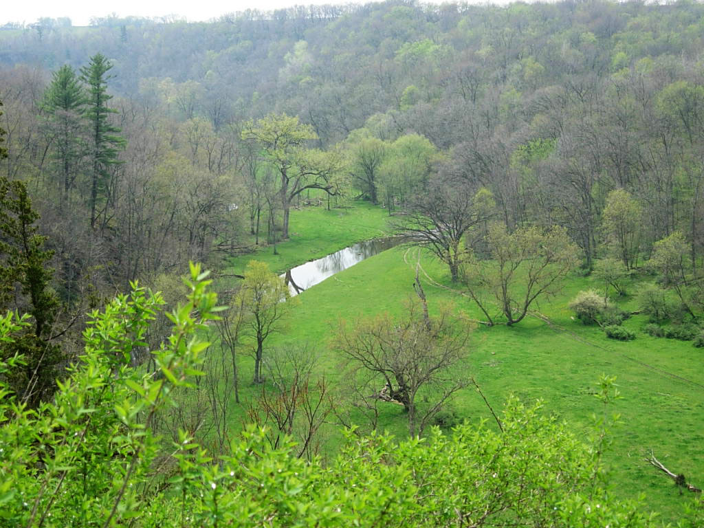
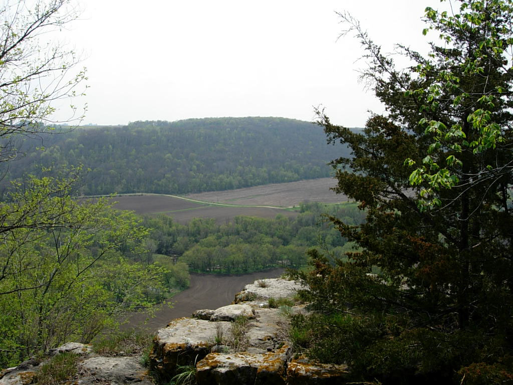
View of Rush Creek from the Enterprise Rest Area

Nice view of falls (Trout Creek MN)

View across water (Trout Creek MN)
View of I-90 and Rush Creek from the Enterprise Rest Area

CP 6255 - 686 - St. Charles, MN

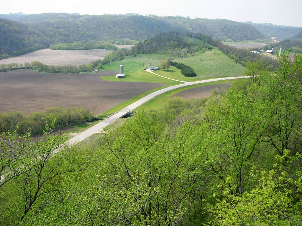
View of the Rush Creek Valley and Winona Co Rd 25
View of the Rush Creek Valley
View of I-90 and Rush Creek from the Enterprise Rest Area
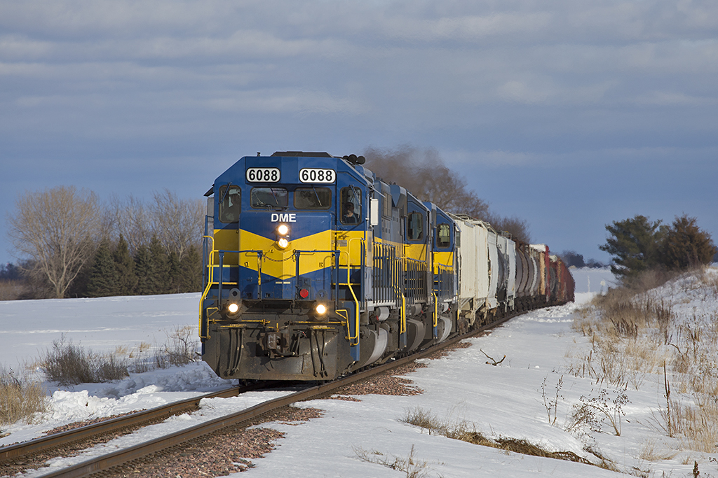
DME 6088 - B27/633 - Cresting the Grade

Sunset in the country
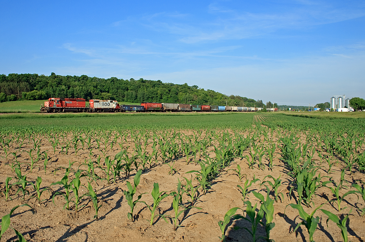
ICE 6214 St. Charles Field
Some more road dmg pics

CP 5775 Lewiston, MN

Looking down falls (Trout Creek MN)

2014-10-05 11.52.21
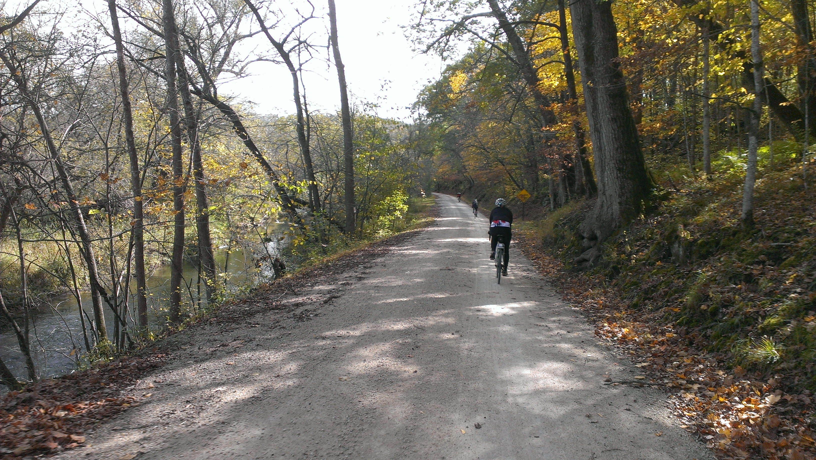
2014-10-05 11.02.53

Trout Run Creek
Topographic Map of Co Hwy 6, St Charles, MN, USA
Find elevation by address:

Places near Co Hwy 6, St Charles, MN, USA:
Saratoga Township
Co Rd 29, Winona, MN, USA
Co Hwy 43, St Charles, MN, USA
MN-30, Chatfield, MN, USA
216 Willow Court
730 Bluff Ave
Saint Charles
St Charles Ave, St Charles, MN, USA
Pilot Mound Township
Only Ave, Altura, MN, USA
Interstate 90
Dover
26692 Evening Dr
Lanesboro
201 Ridgeview Ln S
201 Ridgeview Ln S
Elba Township
NE Co Rd 10, Dover, MN, USA
Co Rd, Altura, MN, USA
Carrolton Township
Recent Searches:
- Elevation of Corso Fratelli Cairoli, 35, Macerata MC, Italy
- Elevation of Tallevast Rd, Sarasota, FL, USA
- Elevation of 4th St E, Sonoma, CA, USA
- Elevation of Black Hollow Rd, Pennsdale, PA, USA
- Elevation of Oakland Ave, Williamsport, PA, USA
- Elevation of Pedrógão Grande, Portugal
- Elevation of Klee Dr, Martinsburg, WV, USA
- Elevation of Via Roma, Pieranica CR, Italy
- Elevation of Tavkvetili Mountain, Georgia
- Elevation of Hartfords Bluff Cir, Mt Pleasant, SC, USA