Elevation of MN-30, Chatfield, MN, USA
Location: United States > Minnesota > Fillmore County > Pilot Mound Township >
Longitude: -92.050958
Latitude: 43.8176966
Elevation: 280m / 919feet
Barometric Pressure: 98KPa
Elevation Map:
Satellite Map:
Related Photos:

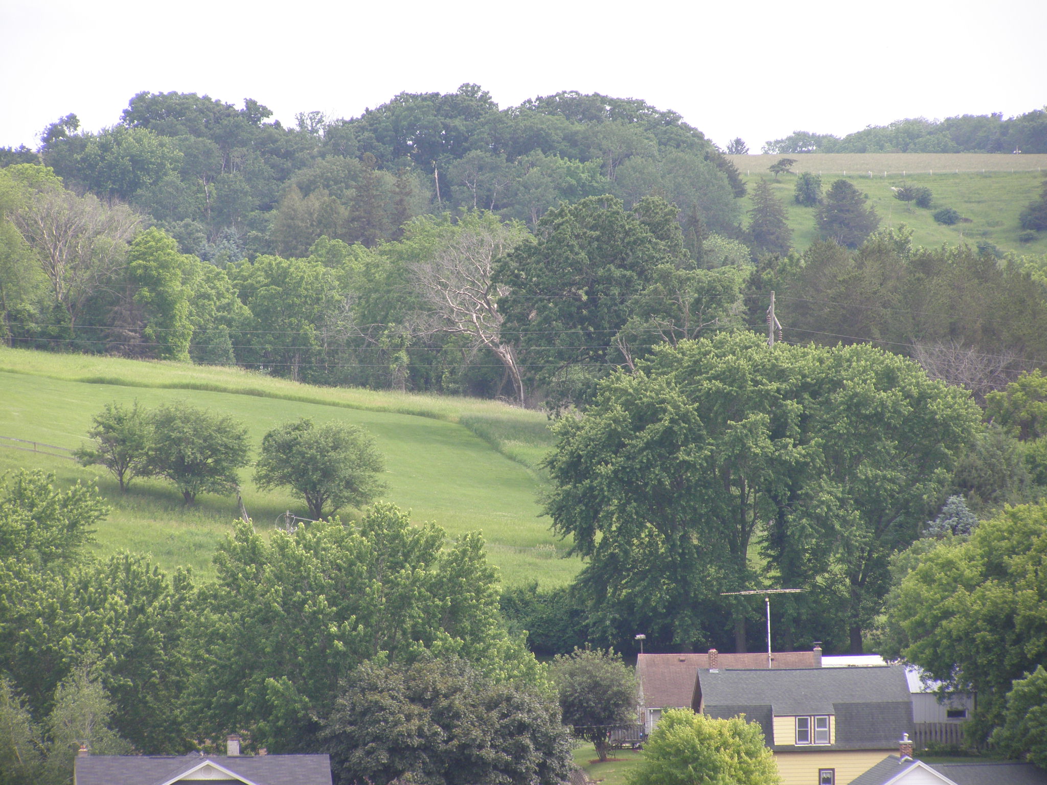
Union Prairie Lutheran Church

wish that was my view

Nice view of falls (Trout Creek MN)

View across water (Trout Creek MN)
View From A Restaurant - Tiltshift

It's the smoothest turbulence in town.
CIMG3662.JPG

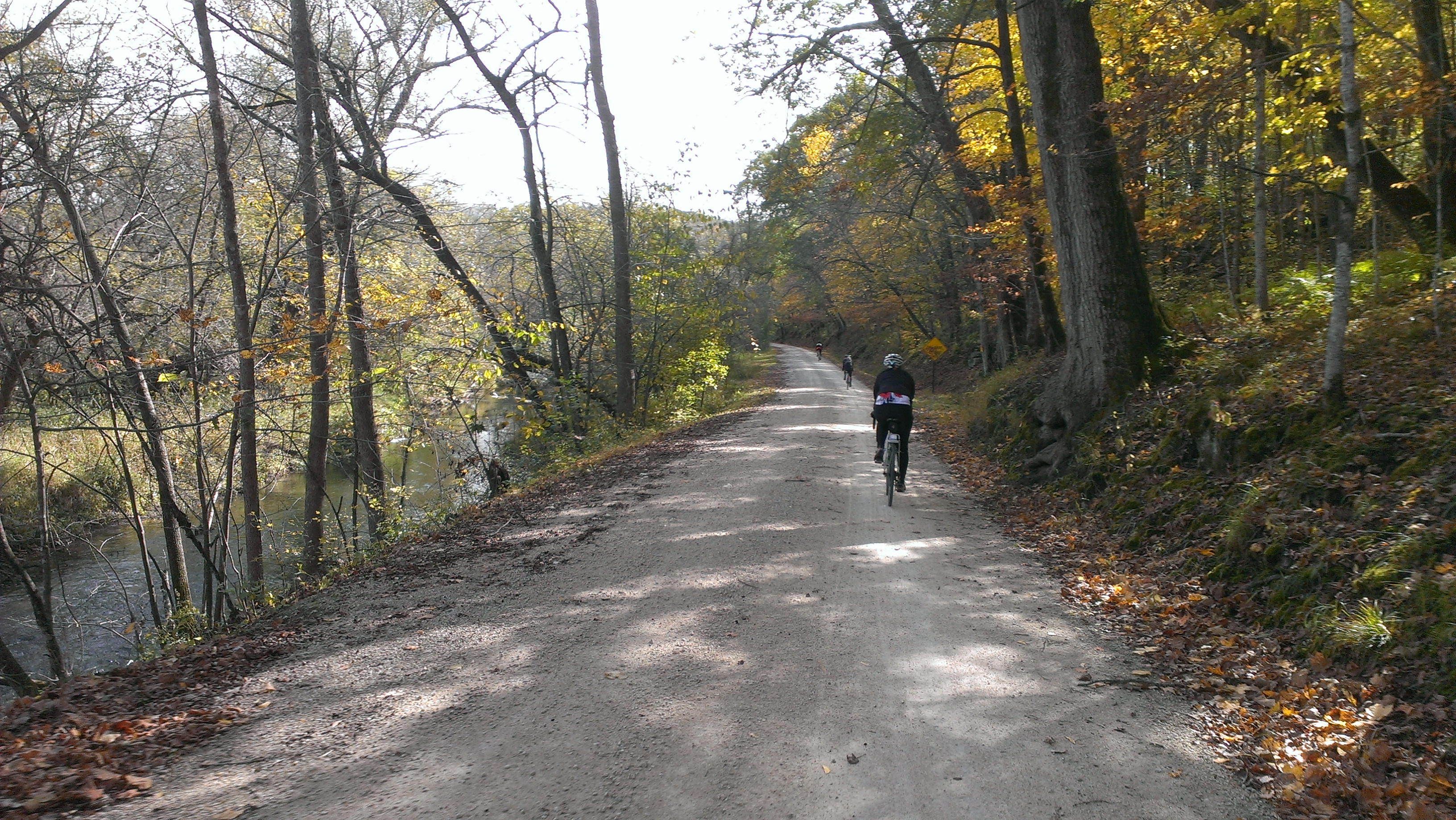
Lanesboro MN (1)

Lanesboro2010 MVI 3

Through the Fence
Resturant View2

Lanesboro Dam and Falls

Looking down falls (Trout Creek MN)

2014-10-05 11.52.21

2014-05-17 10.45.07

2014-10-05 14.45.01
07200_G.jpg

Big Thing That Controls Water Flow
Preston, Minn
Preston Overlook- Preston MN (4)

Pin Oak Prairie SNA
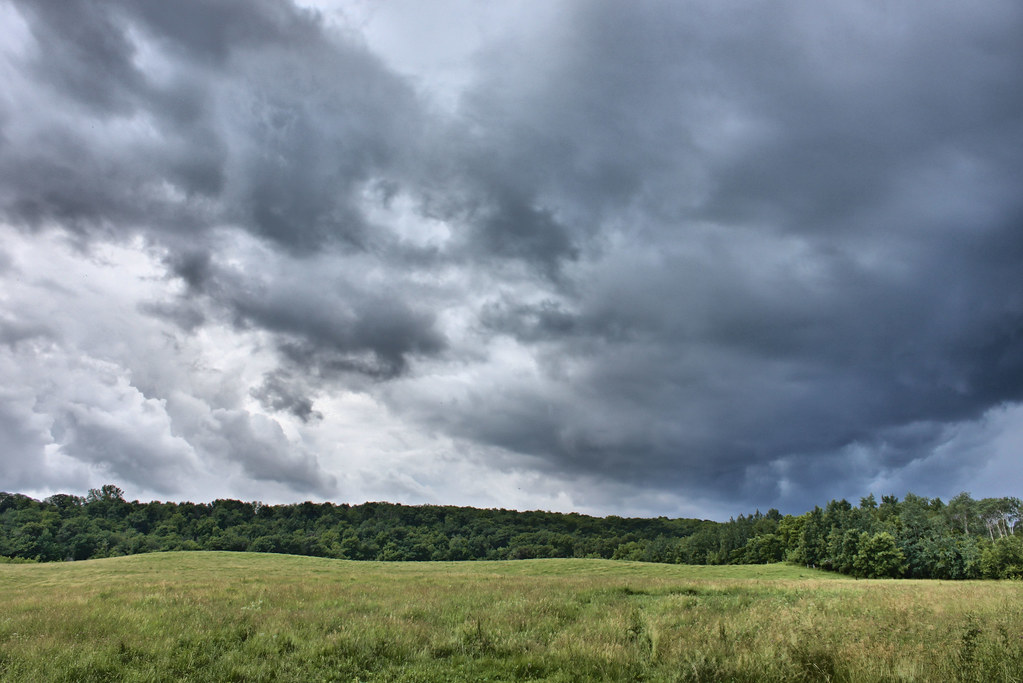
Storm Alert
2014-10-05 11.02.53

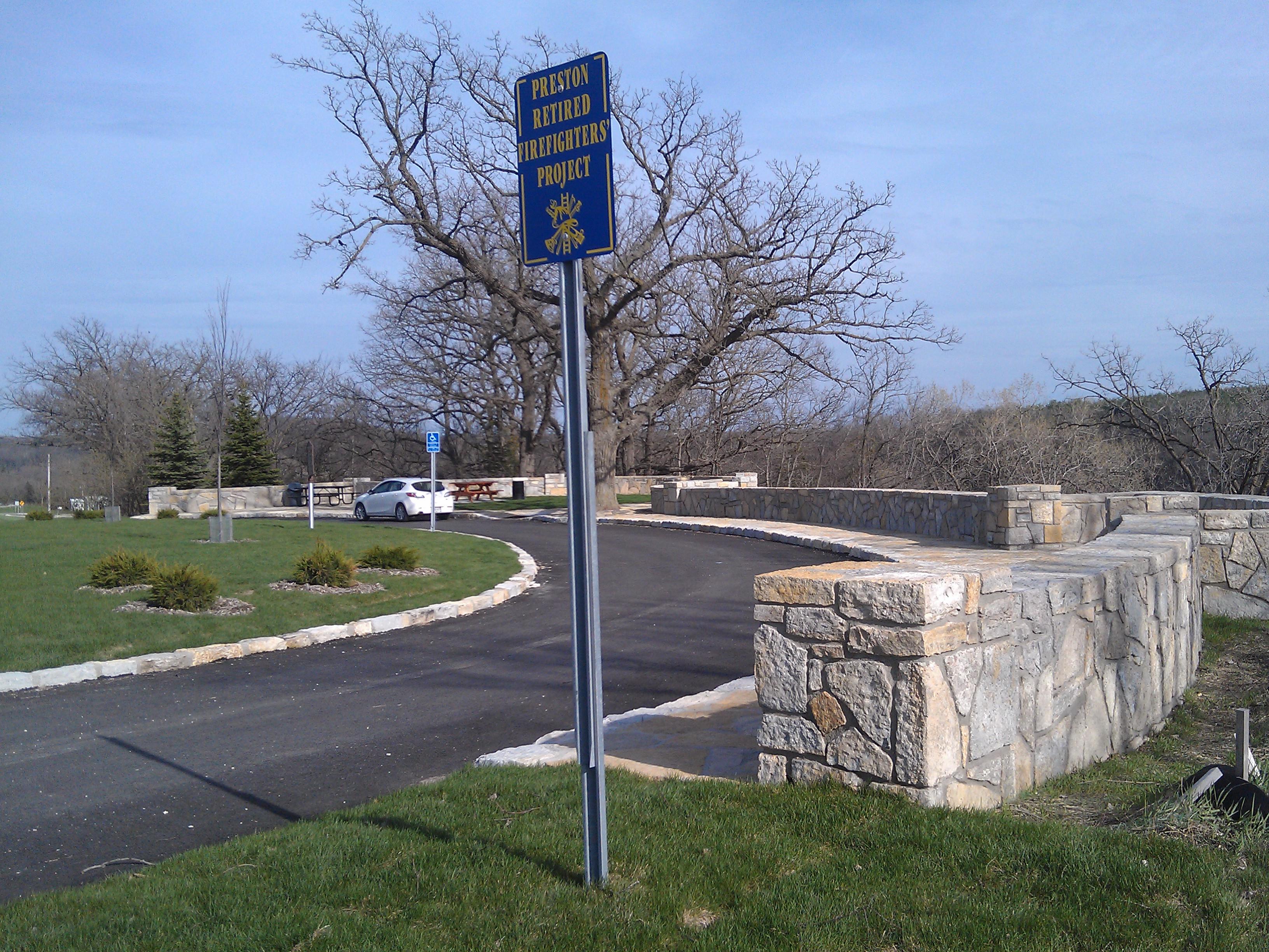
Committal Shelter, Veteran's Cemetery | Preston, MN | BTR
Topographic Map of MN-30, Chatfield, MN, USA
Find elevation by address:

Places near MN-30, Chatfield, MN, USA:
Pilot Mound Township
Co Hwy 43, St Charles, MN, USA
Saratoga Township
Co Hwy 6, St Charles, MN, USA
Carrolton Township
Fillmore County
Lanesboro
201 Ridgeview Ln S
201 Ridgeview Ln S
1000 Parkway Ave S
Chatfield
Preston
400 Fillmore St W
Saint Charles
St Charles Ave, St Charles, MN, USA
730 Bluff Ave
216 Willow Court
29760 Minor Road
26692 Evening Dr
Dover
Recent Searches:
- Elevation of Corso Fratelli Cairoli, 35, Macerata MC, Italy
- Elevation of Tallevast Rd, Sarasota, FL, USA
- Elevation of 4th St E, Sonoma, CA, USA
- Elevation of Black Hollow Rd, Pennsdale, PA, USA
- Elevation of Oakland Ave, Williamsport, PA, USA
- Elevation of Pedrógão Grande, Portugal
- Elevation of Klee Dr, Martinsburg, WV, USA
- Elevation of Via Roma, Pieranica CR, Italy
- Elevation of Tavkvetili Mountain, Georgia
- Elevation of Hartfords Bluff Cir, Mt Pleasant, SC, USA