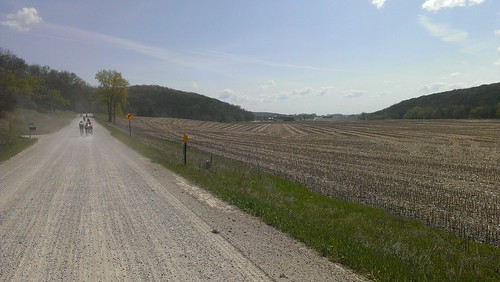
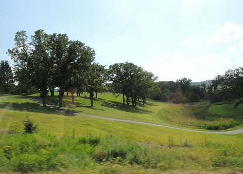
Elevation of Co Hwy 43, St Charles, MN, USA
Location: United States > Minnesota > Winona County > Saratoga Township >
Longitude: -92.067408
Latitude: 43.871462
Elevation: 317m / 1040feet
Barometric Pressure: 98KPa
Related Photos:
Topographic Map of Co Hwy 43, St Charles, MN, USA
Find elevation by address:

Places near Co Hwy 43, St Charles, MN, USA:
Saratoga Township
MN-30, Chatfield, MN, USA
Pilot Mound Township
Co Hwy 6, St Charles, MN, USA
St Charles Ave, St Charles, MN, USA
Saint Charles
730 Bluff Ave
216 Willow Court
Dover
Chatfield
NE Co Rd 10, Dover, MN, USA
Carrolton Township
29760 Minor Road
Co Rd 29, Winona, MN, USA
Fillmore County
Lanesboro
Orion Township
201 Ridgeview Ln S
201 Ridgeview Ln S
1000 Parkway Ave S
Recent Searches:
- Elevation of Corso Fratelli Cairoli, 35, Macerata MC, Italy
- Elevation of Tallevast Rd, Sarasota, FL, USA
- Elevation of 4th St E, Sonoma, CA, USA
- Elevation of Black Hollow Rd, Pennsdale, PA, USA
- Elevation of Oakland Ave, Williamsport, PA, USA
- Elevation of Pedrógão Grande, Portugal
- Elevation of Klee Dr, Martinsburg, WV, USA
- Elevation of Via Roma, Pieranica CR, Italy
- Elevation of Tavkvetili Mountain, Georgia
- Elevation of Hartfords Bluff Cir, Mt Pleasant, SC, USA
