Elevation of Powder Spring Knob, Moorefield, WV, USA
Location: United States > West Virginia > Hardy County > Old Fields > Moorefield >
Longitude: -78.909192
Latitude: 39.0276086
Elevation: 624m / 2047feet
Barometric Pressure: 94KPa
Elevation Map:
Satellite Map:
Related Photos:

South Branch Potomac

Lost River

South Branch Potomac River

"Scenic" Overlook

Fog in the Allegheny Mountains viewed from Route US 48 - Mount Storm West Virginia

The view around the pond at Winchester Medical Center

Fog in the Allegheny Mountains viewed from Route US 48 - Mount Storm West Virginia

The view around the pond at Winchester Medical Center

The view around the pond at Winchester Medical Center

catching the view while we stop to fix a flat

The view around the pond at Winchester Medical Center
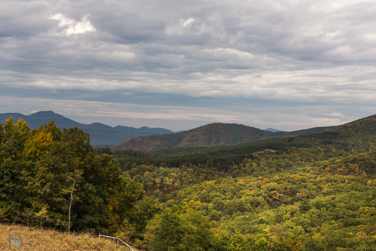
Appalachian Autumn

The view around the pond at Winchester Medical Center

The view around the pond at Winchester Medical Center

The view around the pond at Winchester Medical Center

Golden Eagle immature GBBC
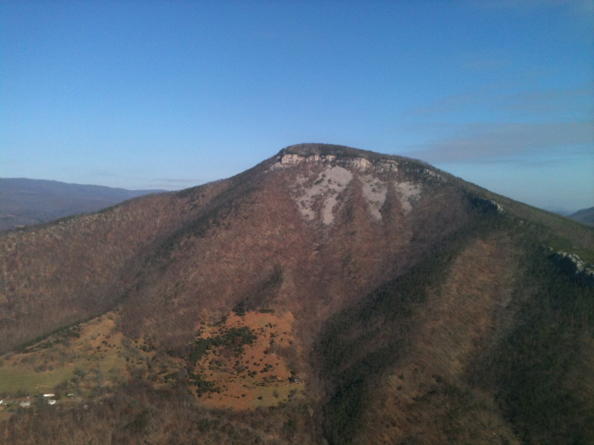
Mountain range view from Chimney Top

Mountain range view from Chimney Top

EXITING "THE TROUGH"

Howards Lick River

Grain silo in Hardy County, W.Va.

Sunset At 10 Feet

Scenic Overlook
Field of Bloom

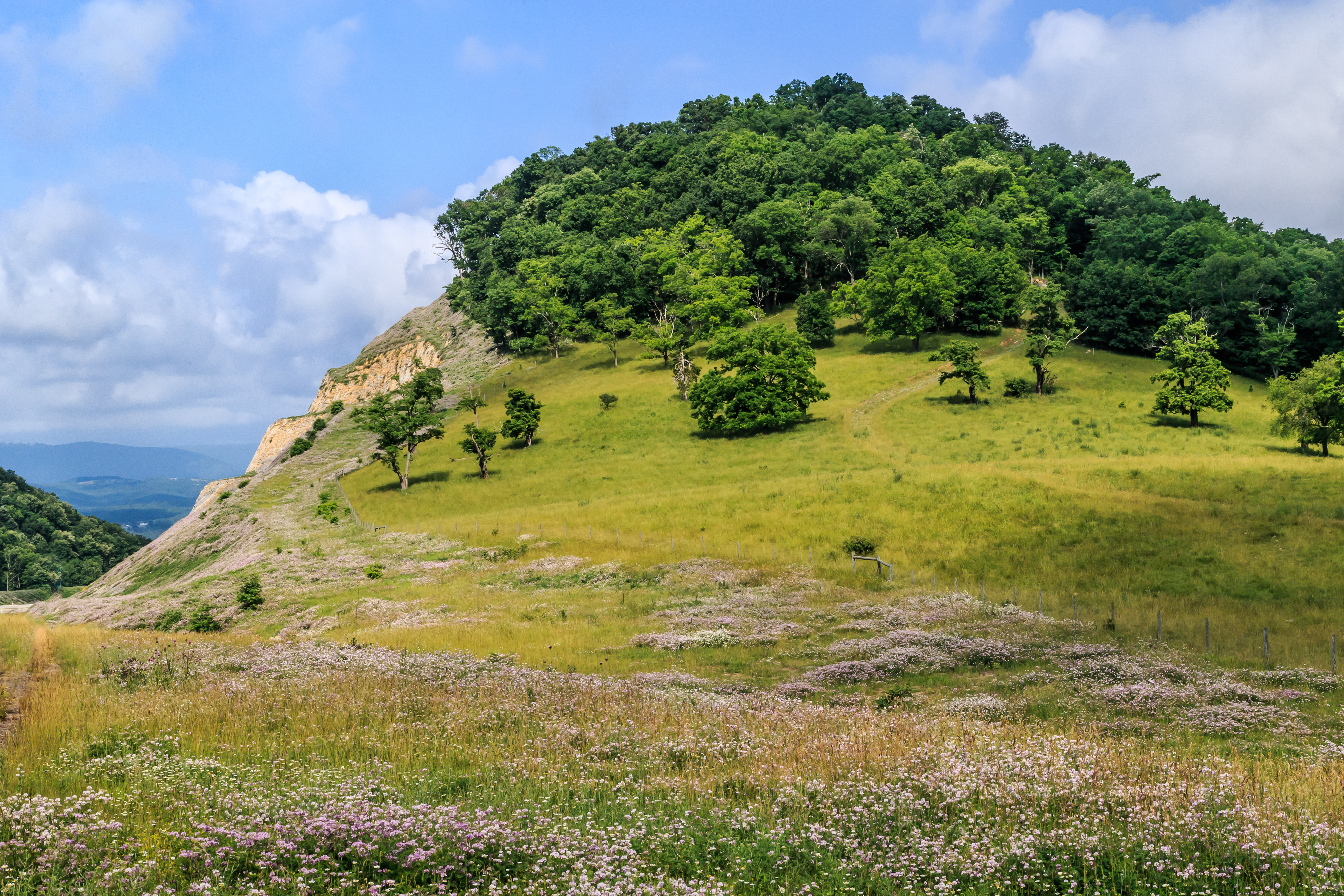
Honeylocust Overlook, West Virginia

Clouds rolling through the gap

Forested mountains in Hardy County, W.Va.

Forested mountains in Hardy County, W.Va.

Forested mountains in Hardy County, W.Va.

Forested mountains in Hardy County, W.Va.

Forested mountains in Hardy County, W.Va.

The Trough -- South Branch of the Potomac River South of Romney (WV) November 12, 2011

South Fork of the Potomac

Kimsey Run Lake

Kimsey Run Lake

Sunset, Corridor H
Topographic Map of Powder Spring Knob, Moorefield, WV, USA
Find elevation by address:

Places near Powder Spring Knob, Moorefield, WV, USA:
Capon Road
Hardy County
Moorefield
986 Dover Hollow Rd
South Fork Road
2000 Wv-55 #304
2000 Wv-55
Moorefield
96 River View Ln, Moorefield, WV, USA
Fisher
Ashton Woods Drive
River Road
481 Upper Pine Grove Rd
1064 County Rte 1
Lower Pine Grove Road
Old Fields
Mt Oliver Rd, Rio, WV, USA
1456 Co Rte 23/3
Old Fields
Walnut Bottom Road
Recent Searches:
- Elevation of Corso Fratelli Cairoli, 35, Macerata MC, Italy
- Elevation of Tallevast Rd, Sarasota, FL, USA
- Elevation of 4th St E, Sonoma, CA, USA
- Elevation of Black Hollow Rd, Pennsdale, PA, USA
- Elevation of Oakland Ave, Williamsport, PA, USA
- Elevation of Pedrógão Grande, Portugal
- Elevation of Klee Dr, Martinsburg, WV, USA
- Elevation of Via Roma, Pieranica CR, Italy
- Elevation of Tavkvetili Mountain, Georgia
- Elevation of Hartfords Bluff Cir, Mt Pleasant, SC, USA