Elevation of River Road, River Rd, South Fork, WV, USA
Location: United States > West Virginia > Hardy County > South Fork >
Longitude: -79.0125027
Latitude: 39.0259046
Elevation: 255m / 837feet
Barometric Pressure: 0KPa
Related Photos:

Fog in the Allegheny Mountains viewed from Route US 48 - Mount Storm West Virginia

Fog in the Allegheny Mountains viewed from Route US 48 - Mount Storm West Virginia

South Branch Potomac River
Appalachian Autumn

Fort Hill View

"Scenic" Overlook
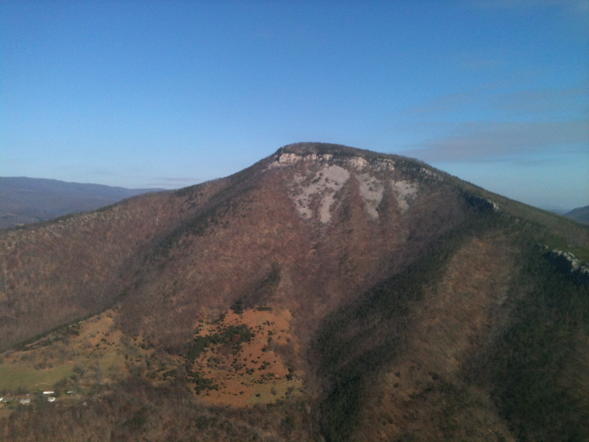
Mountain range view from Chimney Top

Mountain range view from Chimney Top

EXITING "THE TROUGH"

Field of Bloom

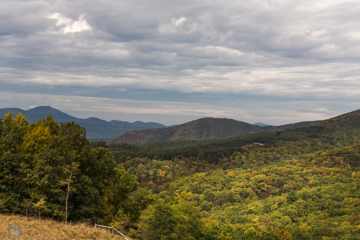
Forested mountains in Hardy County, W.Va.

Forested mountains in Hardy County, W.Va.

Forested mountains in Hardy County, W.Va.

Forested mountains in Hardy County, W.Va.

Forested mountains in Hardy County, W.Va.

Sunset, Corridor H

Scenic Overlook

Honeylocust Overlook, West Virginia

Grain silo in Hardy County, W.Va.

Bails of hay

Sunset in Hardy County, W.Va.

Clifford Hollow Bridge Image 4 11-6-2004 Photo

Corridor H near Moorefield, WV

Corridor H

Looking West on WV 55 11-6-2004 Photo

Corridor H

Corridor H
Topographic Map of River Road, River Rd, South Fork, WV, USA
Find elevation by address:

Places near River Road, River Rd, South Fork, WV, USA:
Fisher
Moorefield
South Fork Road
Walnut Bottom Road
Capon Road
Hardy County
96 River View Ln, Moorefield, WV, USA
Moorefield
986 Dover Hollow Rd
Powder Spring Knob
2000 Wv-55 #304
2000 Wv-55
Grant
Old Fields
Old Fields
Ashton Woods Drive
2254 High Knob Rd
Ridge View Road
1064 County Rte 1
481 Upper Pine Grove Rd
Recent Searches:
- Elevation map of Greenland, Greenland
- Elevation of Sullivan Hill, New York, New York, 10002, USA
- Elevation of Morehead Road, Withrow Downs, Charlotte, Mecklenburg County, North Carolina, 28262, USA
- Elevation of 2800, Morehead Road, Withrow Downs, Charlotte, Mecklenburg County, North Carolina, 28262, USA
- Elevation of Yangbi Yi Autonomous County, Yunnan, China
- Elevation of Pingpo, Yangbi Yi Autonomous County, Yunnan, China
- Elevation of Mount Malong, Pingpo, Yangbi Yi Autonomous County, Yunnan, China
- Elevation map of Yongping County, Yunnan, China
- Elevation of North 8th Street, Palatka, Putnam County, Florida, 32177, USA
- Elevation of 107, Big Apple Road, East Palatka, Putnam County, Florida, 32131, USA
- Elevation of Jiezi, Chongzhou City, Sichuan, China
- Elevation of Chongzhou City, Sichuan, China
- Elevation of Huaiyuan, Chongzhou City, Sichuan, China
- Elevation of Qingxia, Chengdu, Sichuan, China
- Elevation of Corso Fratelli Cairoli, 35, Macerata MC, Italy
- Elevation of Tallevast Rd, Sarasota, FL, USA
- Elevation of 4th St E, Sonoma, CA, USA
- Elevation of Black Hollow Rd, Pennsdale, PA, USA
- Elevation of Oakland Ave, Williamsport, PA, USA
- Elevation of Pedrógão Grande, Portugal