Elevation of Fisher, WV, USA
Location: United States > West Virginia > Hardy County > South Fork >
Longitude: -79.0033628
Latitude: 39.0514971
Elevation: 267m / 876feet
Barometric Pressure: 0KPa
Related Photos:
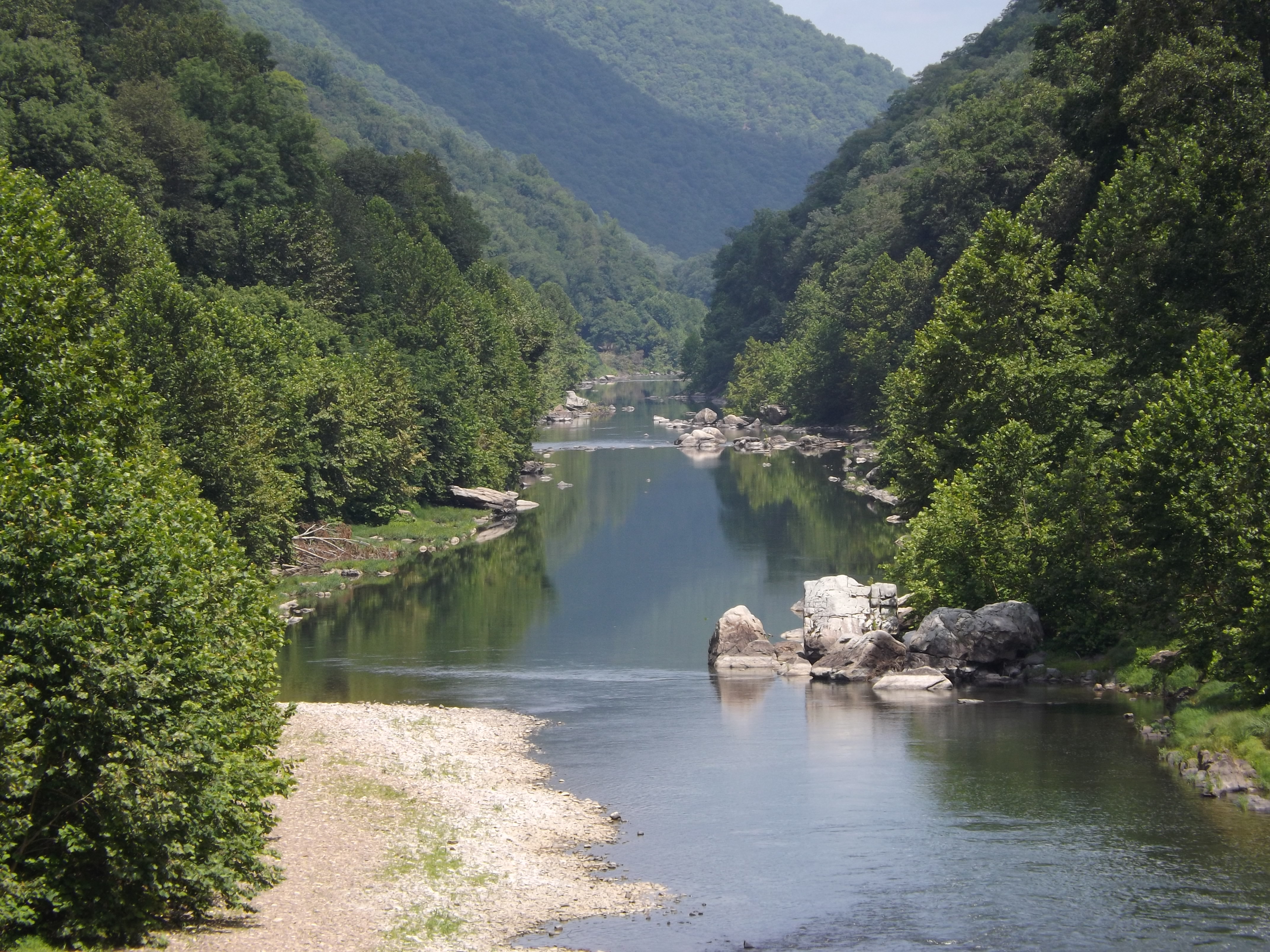
South Branch Potomac
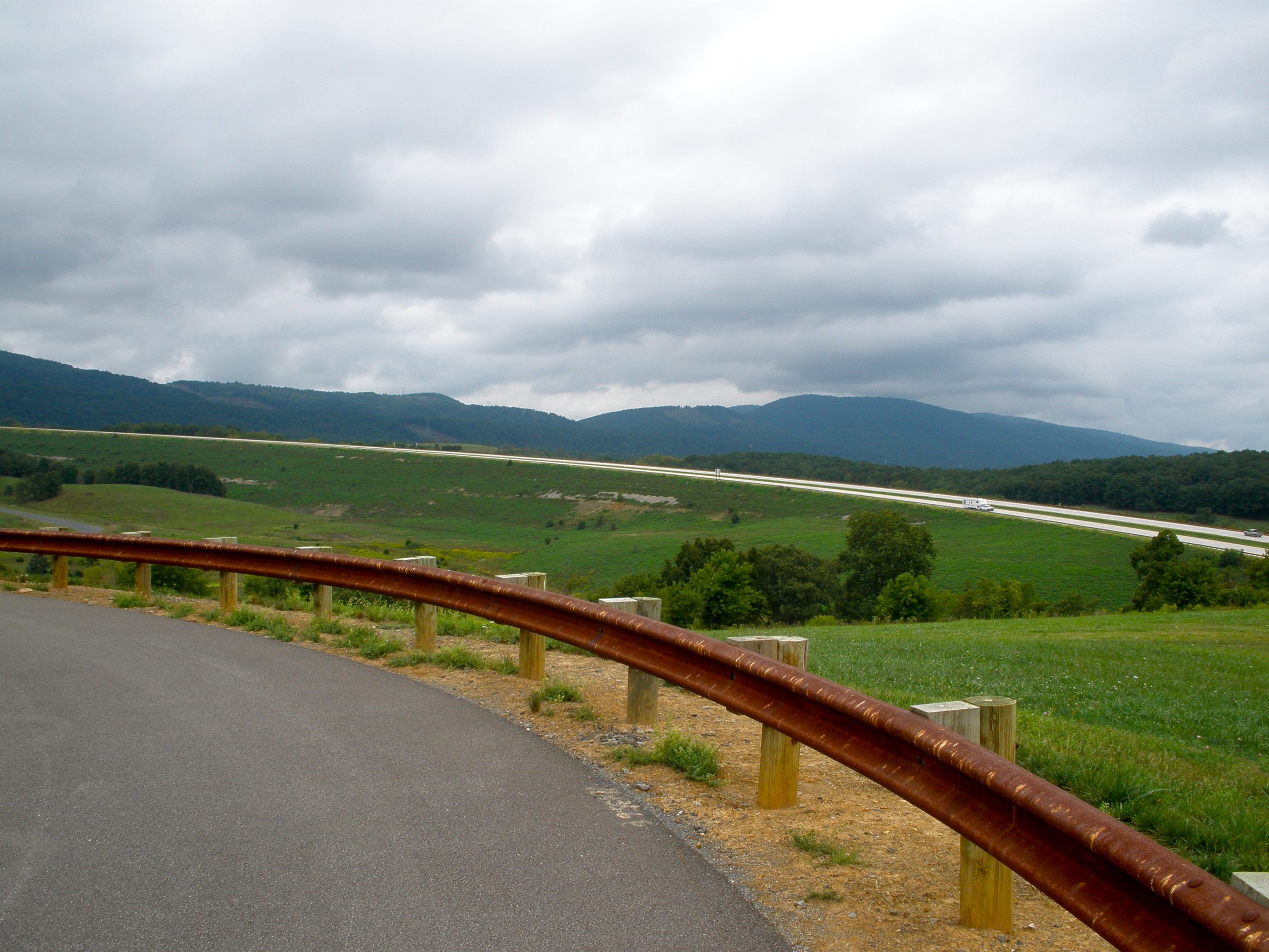
"Scenic" Overlook

South Branch Potomac River

Fort Hill View

Mountain range view from Chimney Top
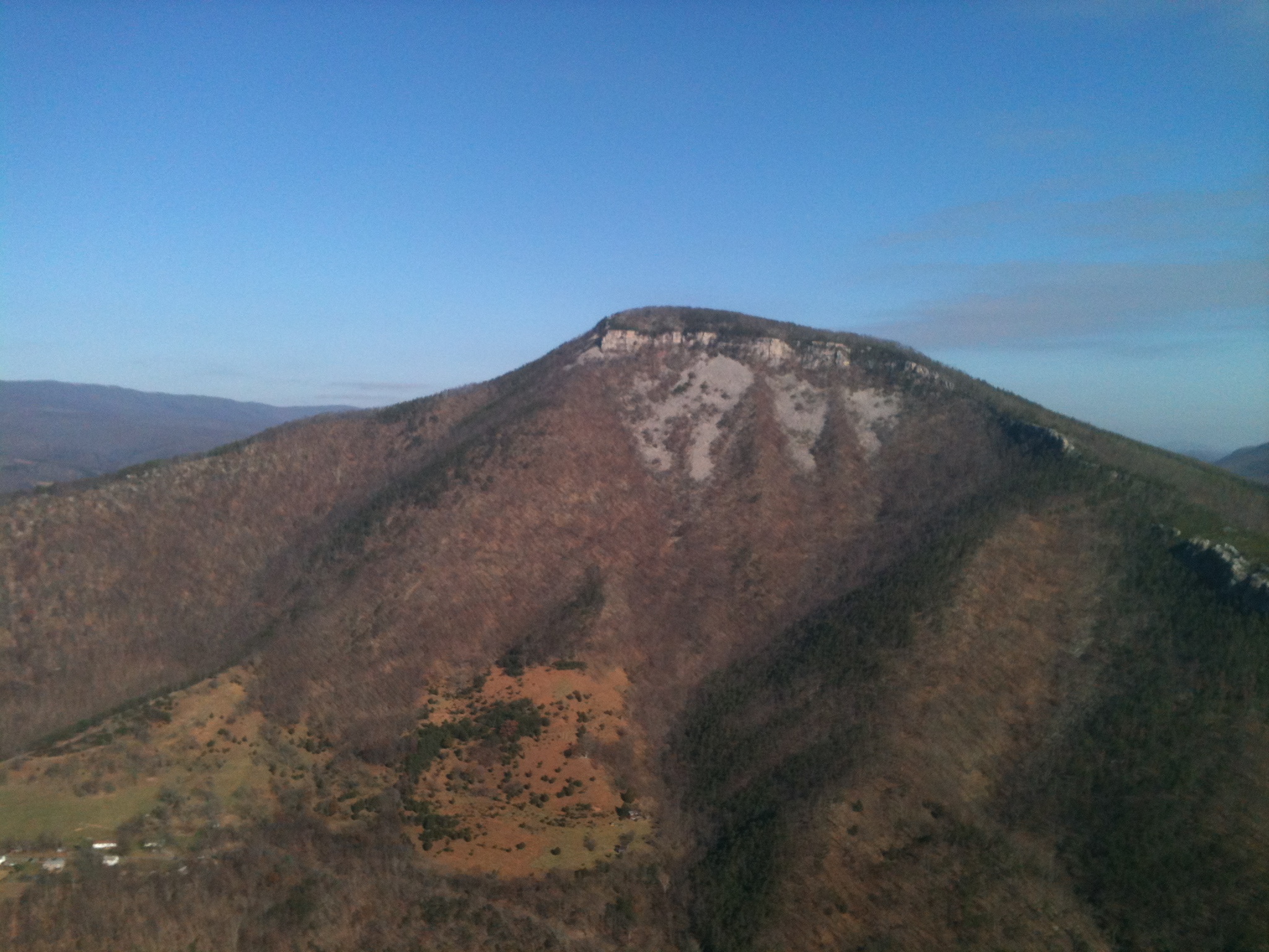
Mountain range view from Chimney Top

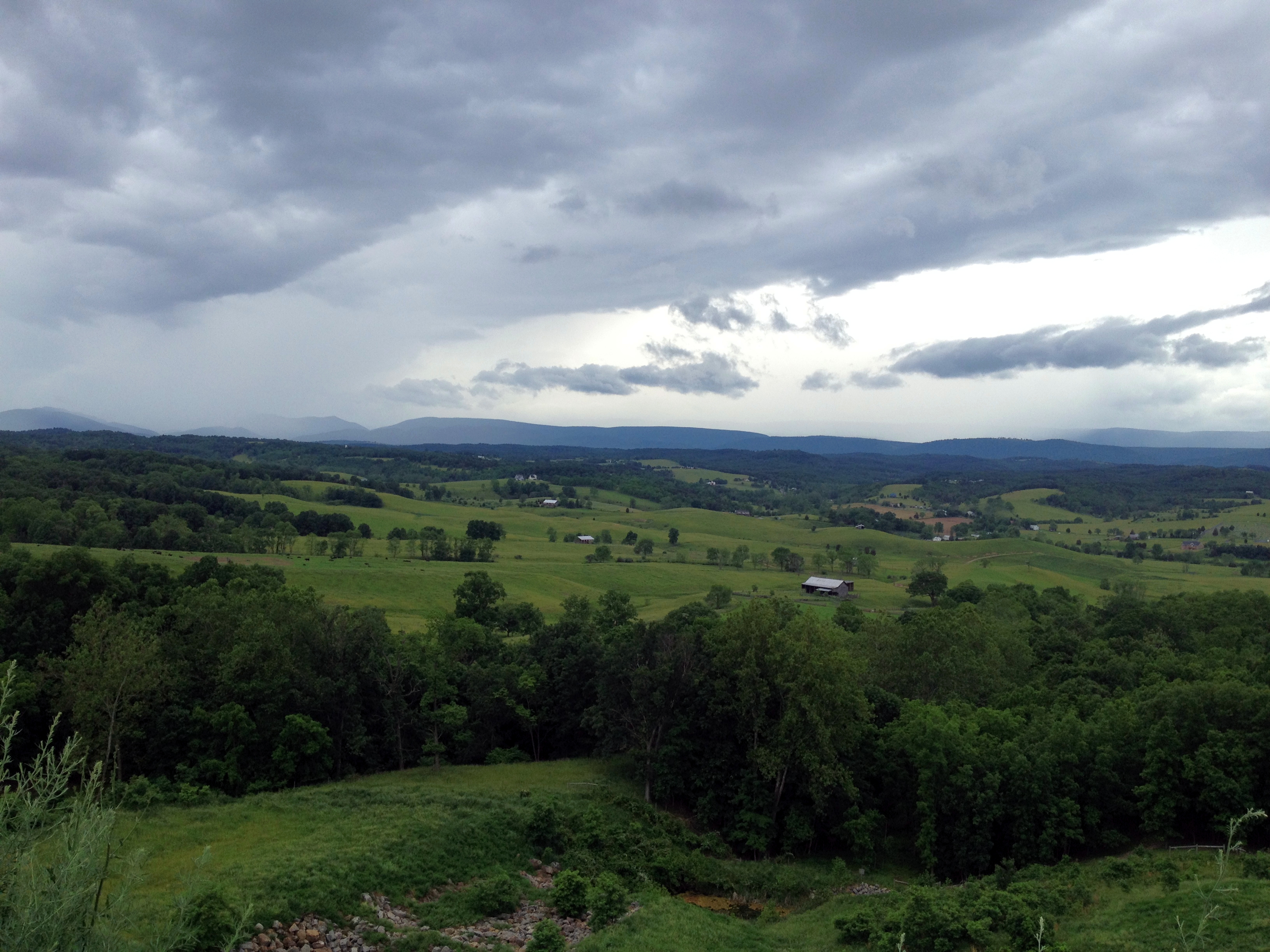
Scenic Overlook
Honeylocust Overlook, West Virginia
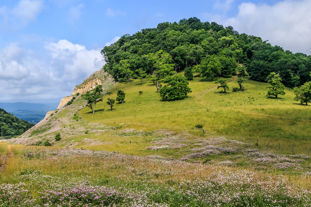
Field of Bloom

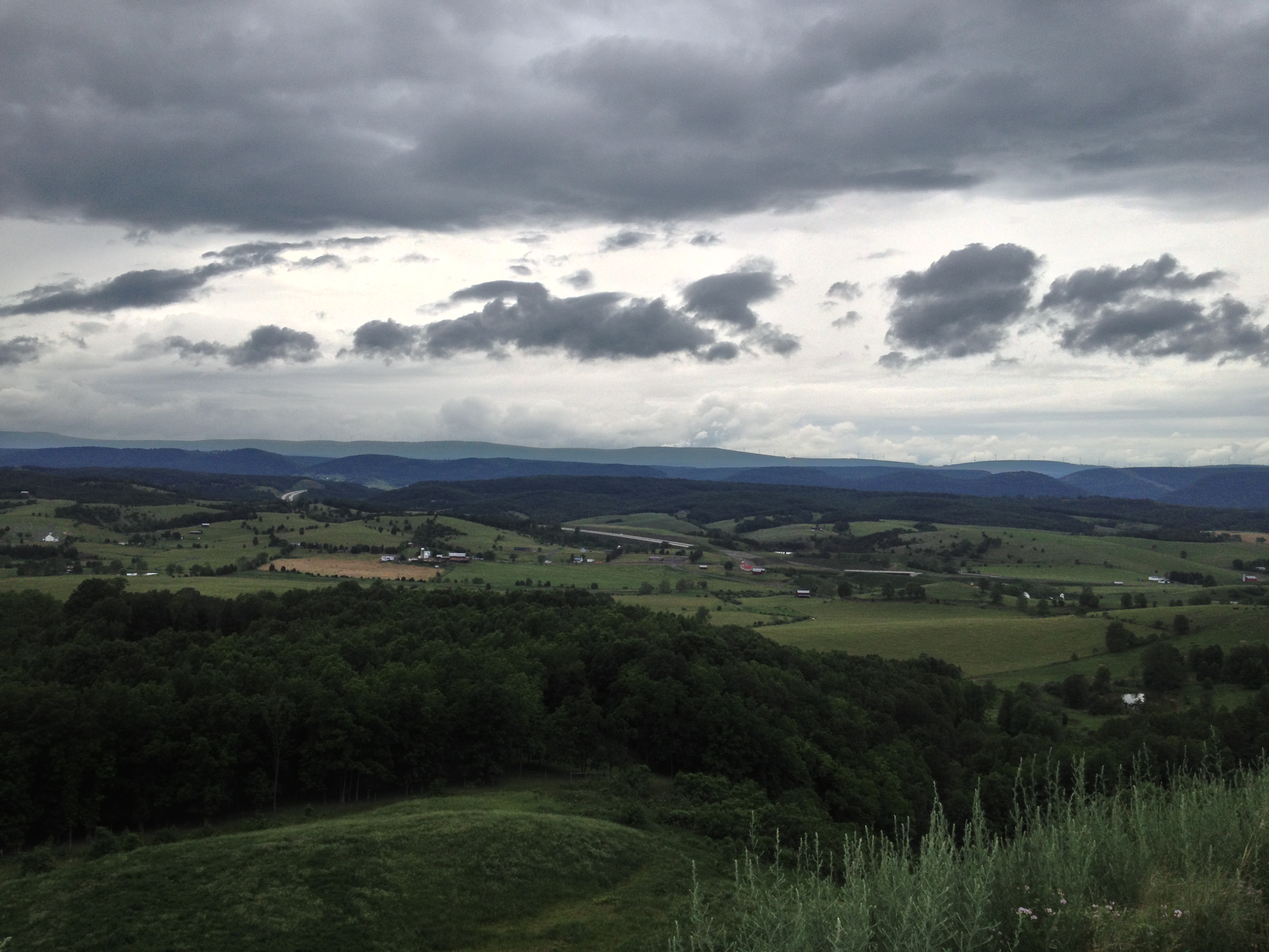
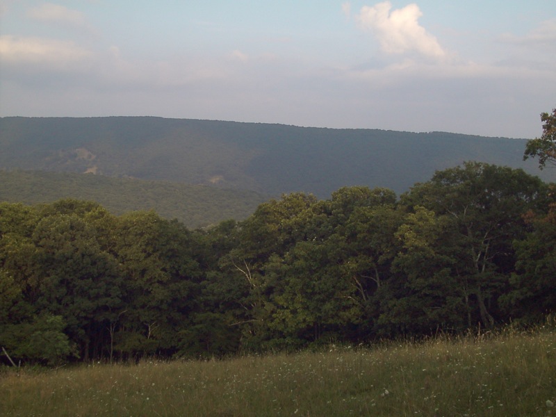
Forested mountains in Hardy County, W.Va.
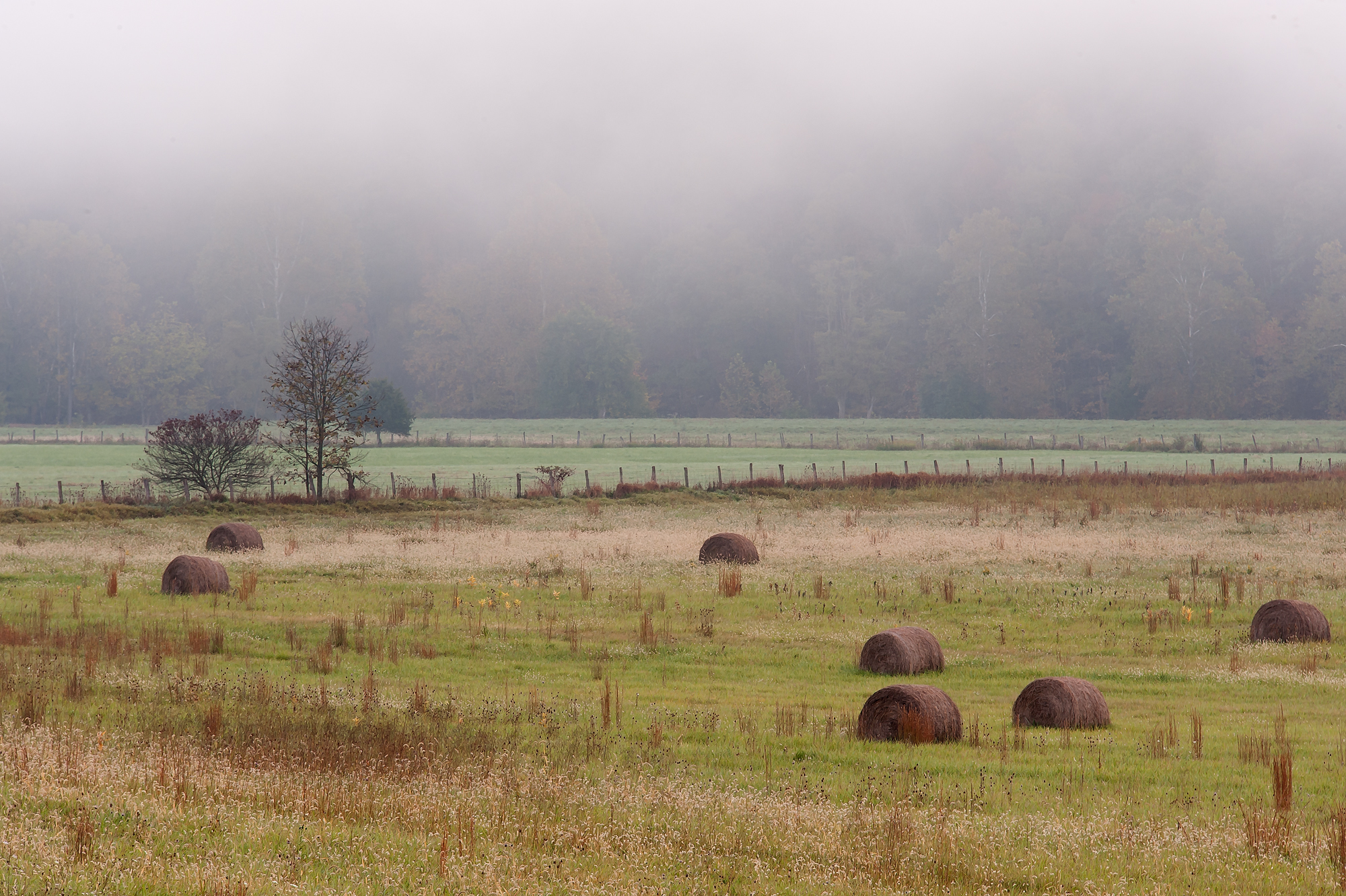
Bails of hay

Forested mountains in Hardy County, W.Va.
wv weekend june 1st 036

Forested mountains in Hardy County, W.Va.
wv weekend june 1st 033

Forested mountains in Hardy County, W.Va.
wv weekend june 1st 034
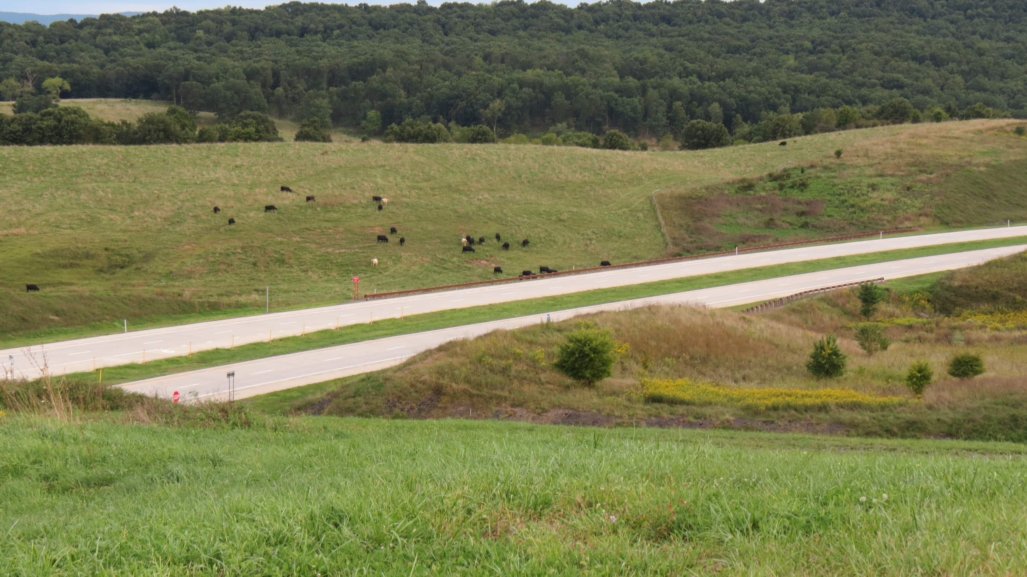
Cows grazing along the highway
wv weekend june 1st 035
wv weekend june 1st 037
PDRM0570.JPG
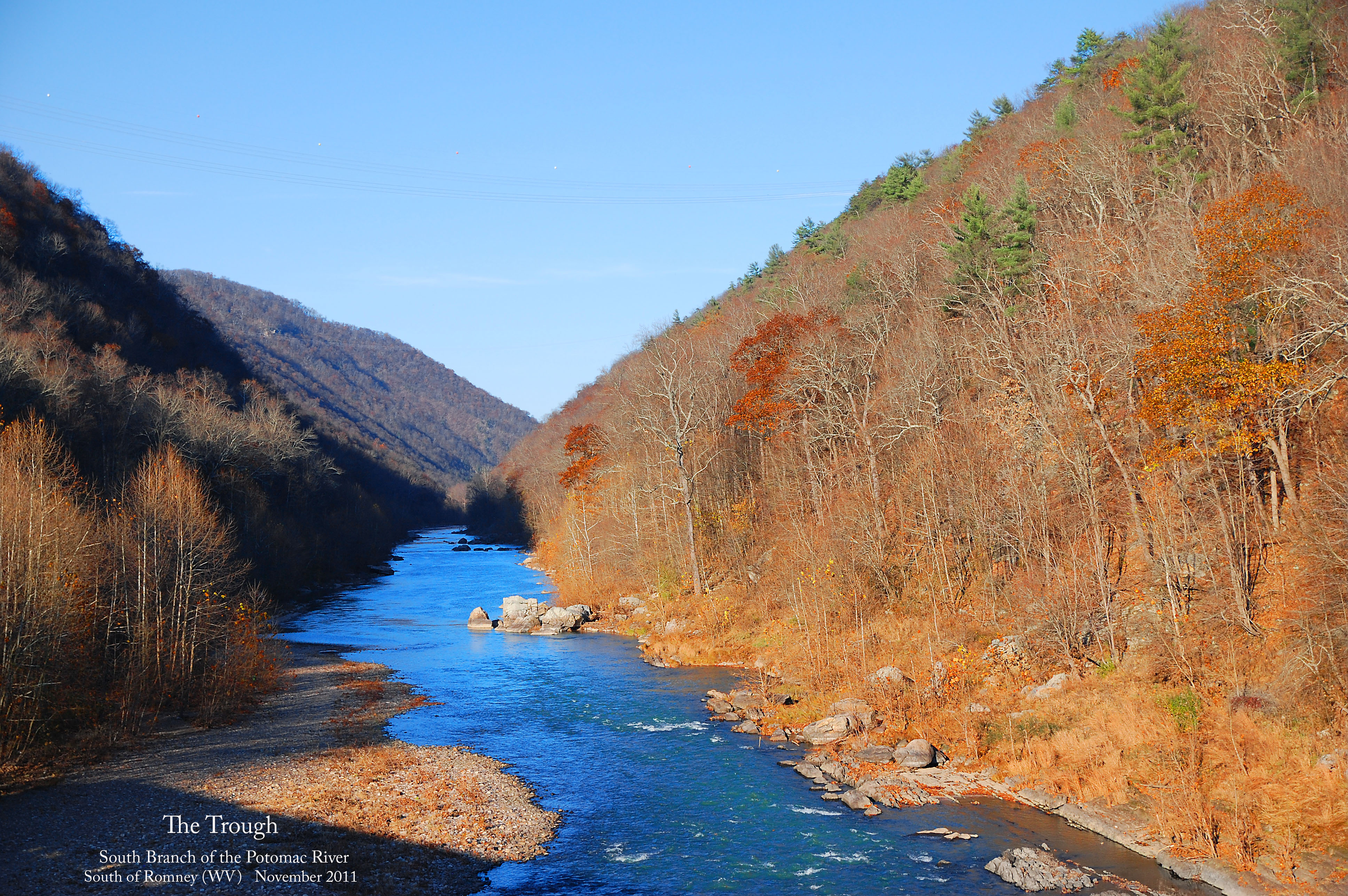
The Trough -- South Branch of the Potomac River South of Romney (WV) November 12, 2011
wv weekend june 1st 038
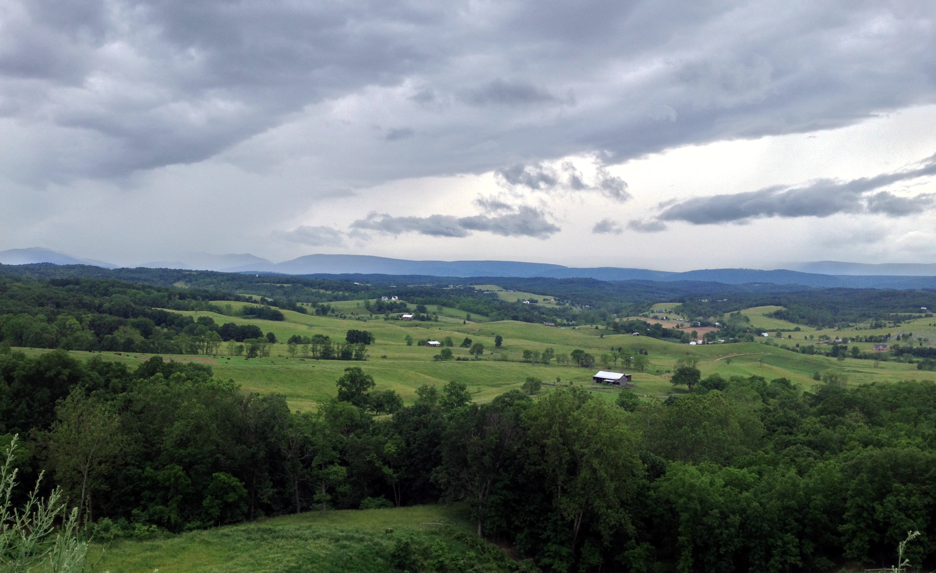
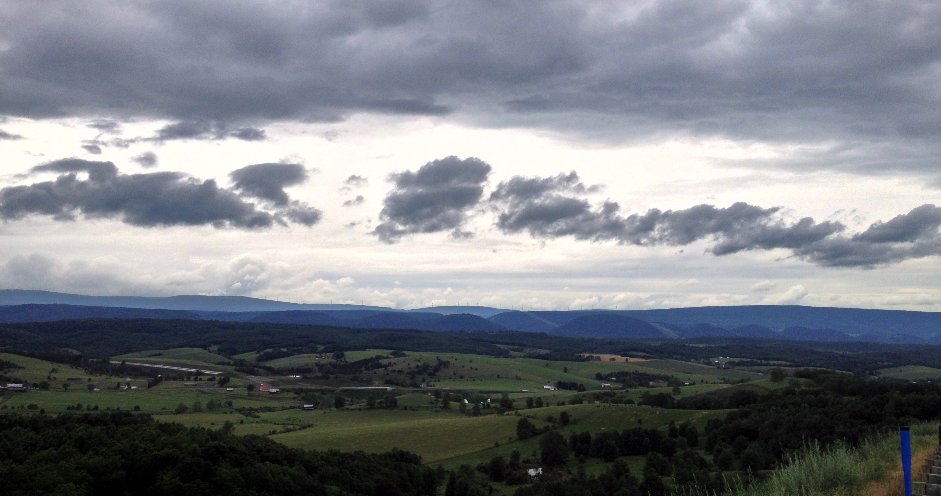
Hardy County hills
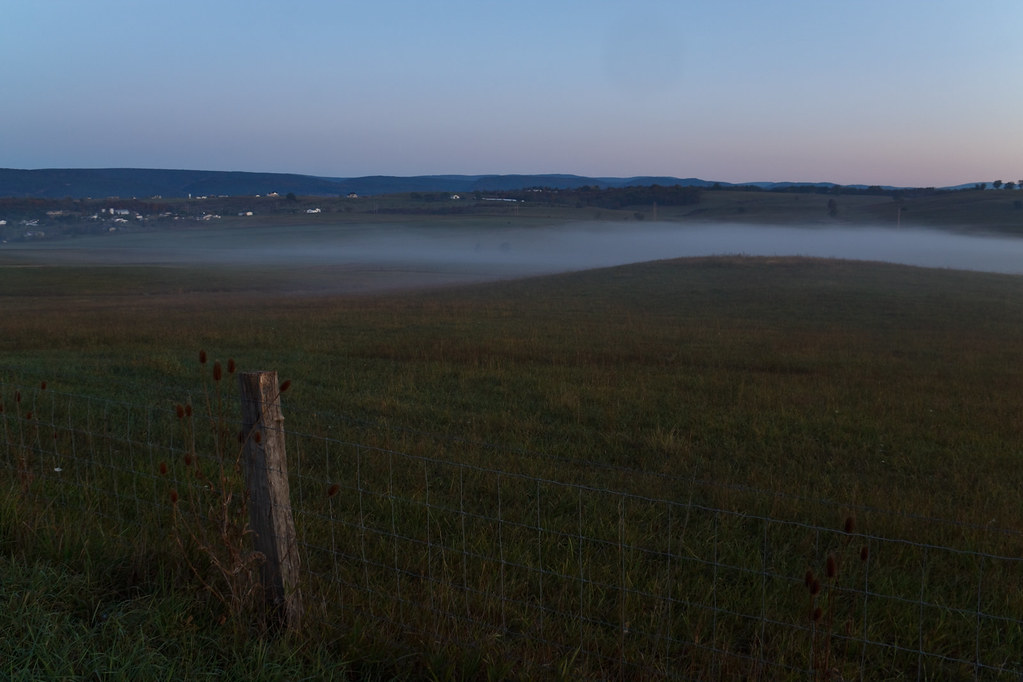
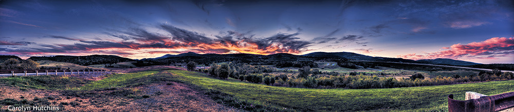
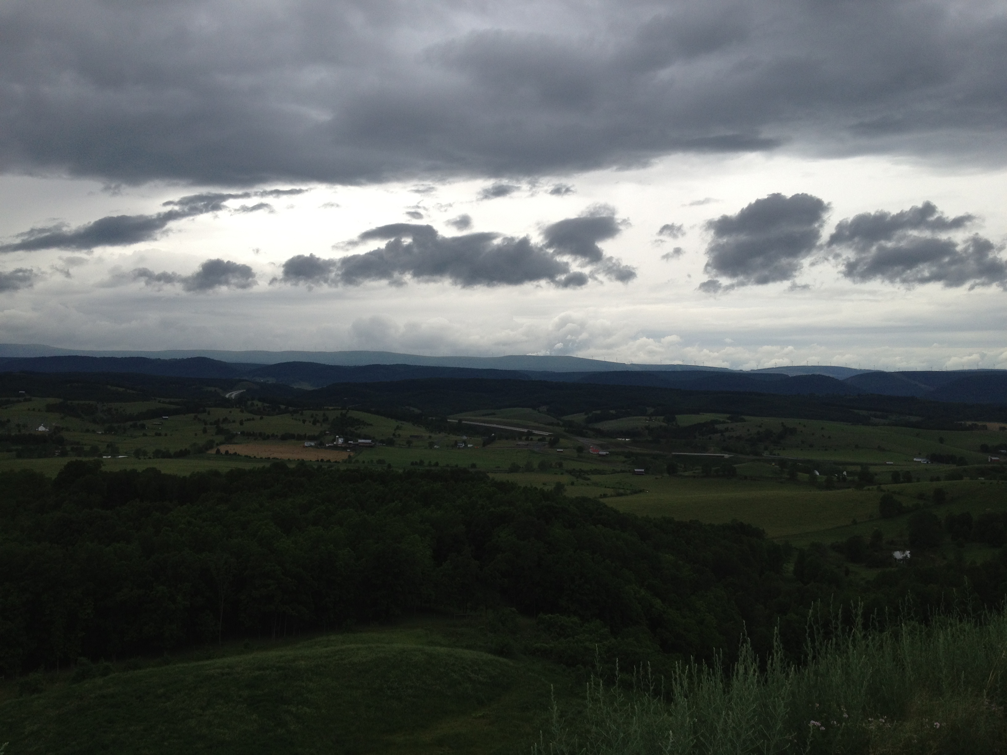
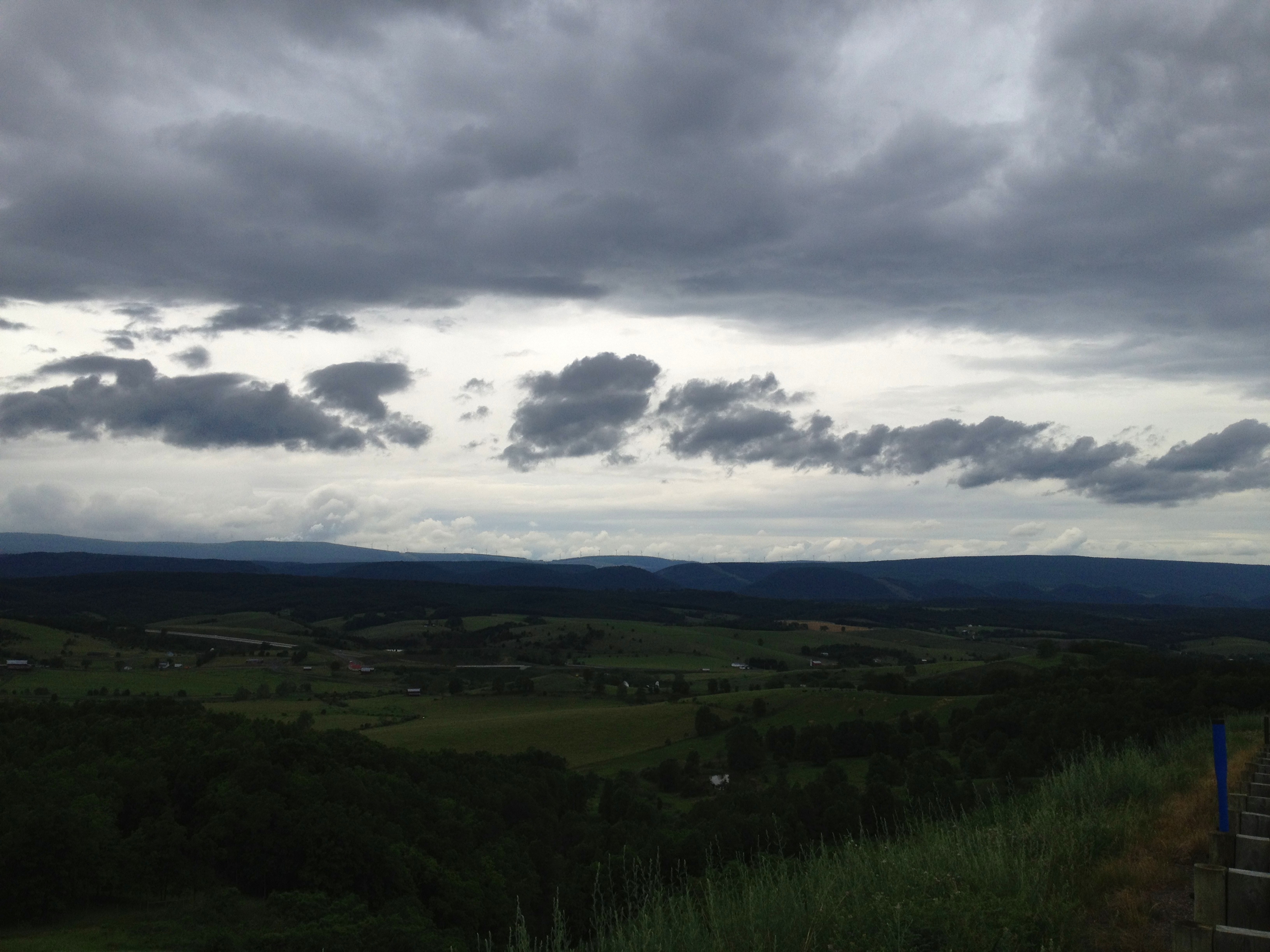
Misty Morning
Topographic Map of Fisher, WV, USA
Find elevation by address:

Places in Fisher, WV, USA:
Places near Fisher, WV, USA:
River Road
Moorefield
South Fork Road
Walnut Bottom Road
96 River View Ln, Moorefield, WV, USA
Hardy County
Capon Road
Moorefield
986 Dover Hollow Rd
2000 Wv-55 #304
2000 Wv-55
Powder Spring Knob
Old Fields
Grant
Old Fields
Ashton Woods Drive
2254 High Knob Rd
Ridge View Road
1064 County Rte 1
Mt Oliver Rd, Rio, WV, USA
Recent Searches:
- Elevation of 908, Northwood Drive, Bridge Field, Chesapeake, Virginia, 23322, USA
- Elevation map of Nagano Prefecture, Japan
- Elevation of 587, Bascule Drive, Oakdale, Stanislaus County, California, 95361, USA
- Elevation of Stadion Wankdorf, Sempachstrasse, Breitfeld, Bern, Bern-Mittelland administrative district, Bern, 3014, Switzerland
- Elevation of Z024, 76, Emil-von-Behring-Straße, Marbach, Marburg, Landkreis Marburg-Biedenkopf, Hesse, 35041, Germany
- Elevation of Gaskill Road, Hunts Cross, Liverpool, England, L24 9PH, United Kingdom
- Elevation of Speke, Liverpool, England, L24 9HD, United Kingdom
- Elevation of Seqirus, 475, Green Oaks Parkway, Holly Springs, Wake County, North Carolina, 27540, USA
- Elevation of Pasing, Munich, Bavaria, 81241, Germany
- Elevation of 24, Auburn Bay Crescent SE, Auburn Bay, Calgary, Alberta, T3M 0A6, Canada
- Elevation of Denver, 2314, Arapahoe Street, Five Points, Denver, Colorado, 80205, USA
- Elevation of Community of the Beatitudes, 2924, West 43rd Avenue, Sunnyside, Denver, Colorado, 80211, USA
- Elevation map of Litang County, Sichuan, China
- Elevation map of Madoi County, Qinghai, China
- Elevation of 3314, Ohio State Route 114, Payne, Paulding County, Ohio, 45880, USA
- Elevation of Sarahills Drive, Saratoga, Santa Clara County, California, 95070, USA
- Elevation of Town of Bombay, Franklin County, New York, USA
- Elevation of 9, Convent Lane, Center Moriches, Suffolk County, New York, 11934, USA
- Elevation of Saint Angelas Convent, 9, Convent Lane, Center Moriches, Suffolk County, New York, 11934, USA
- Elevation of 131st Street Southwest, Mukilteo, Snohomish County, Washington, 98275, USA