Elevation of Dover Hollow Rd, Moorefield, WV, USA
Location: United States > West Virginia > Hardy County > Old Fields > Moorefield >
Longitude: -78.913583
Latitude: 39.054379
Elevation: 341m / 1119feet
Barometric Pressure: 97KPa
Elevation Map:
Satellite Map:
Related Photos:

South Branch Potomac River
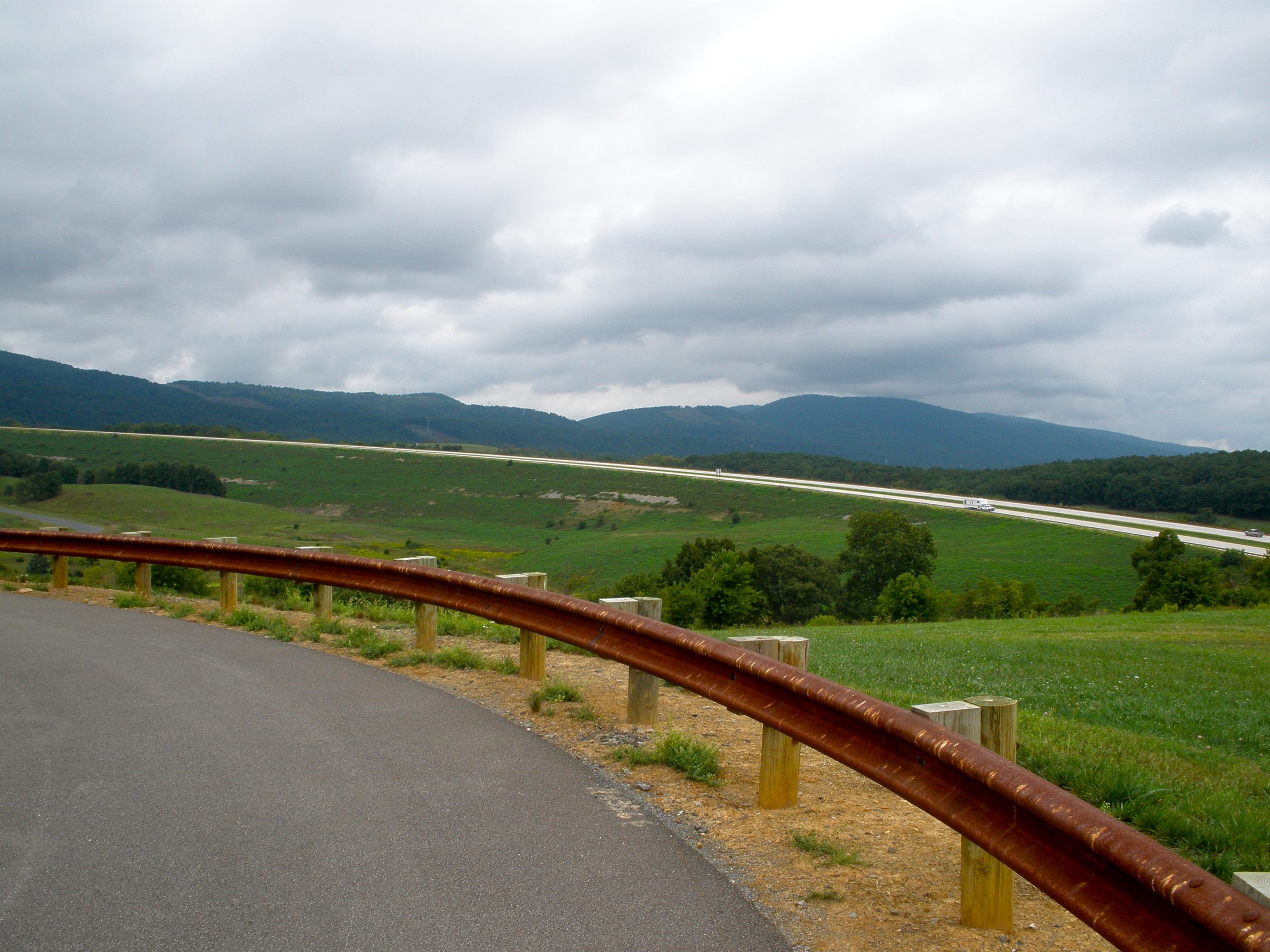
"Scenic" Overlook

Mountain range view from Chimney Top

catching the view while we stop to fix a flat

Golden Eagle immature GBBC

Lost River

Going away view
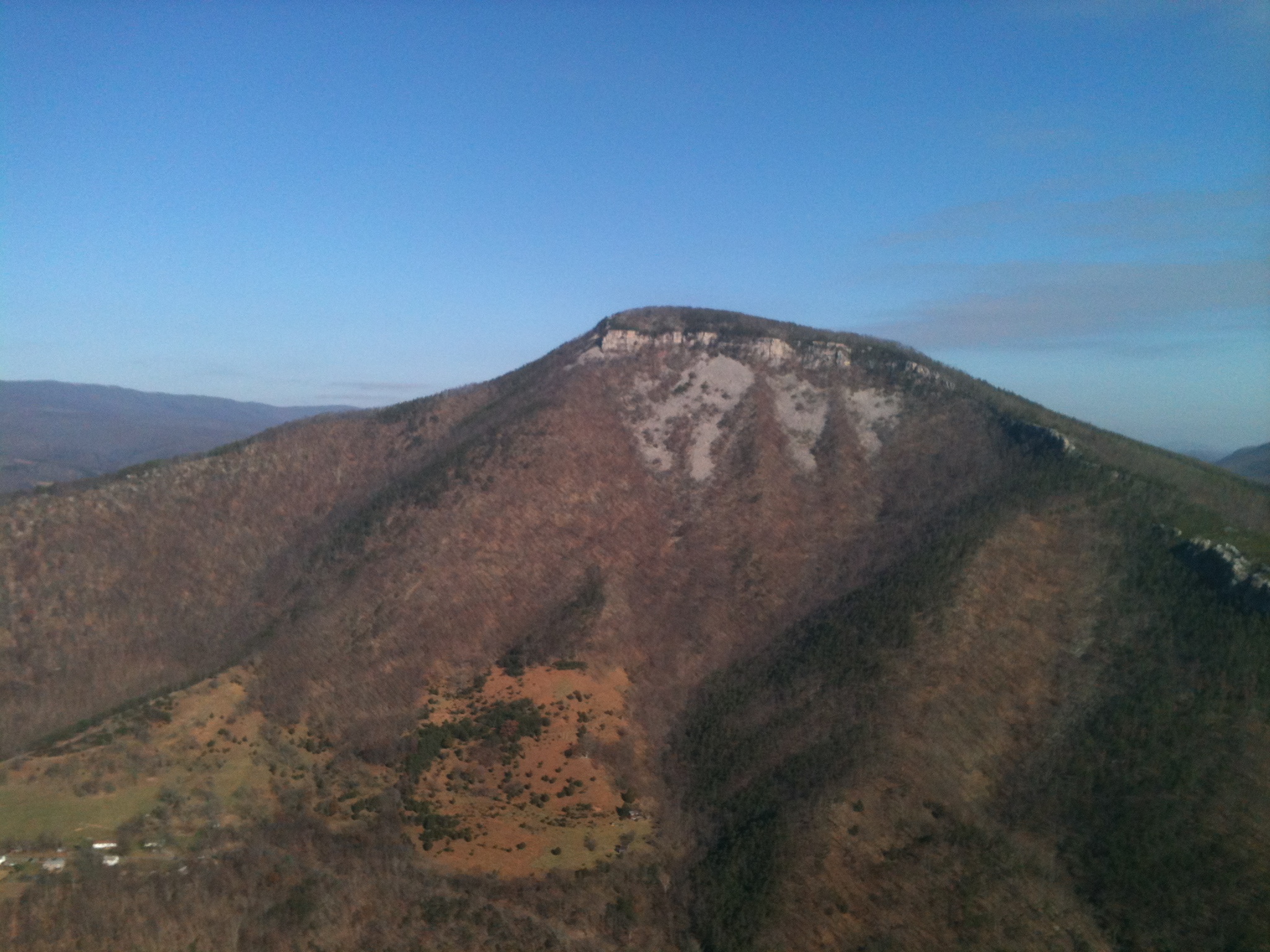
Mountain range view from Chimney Top

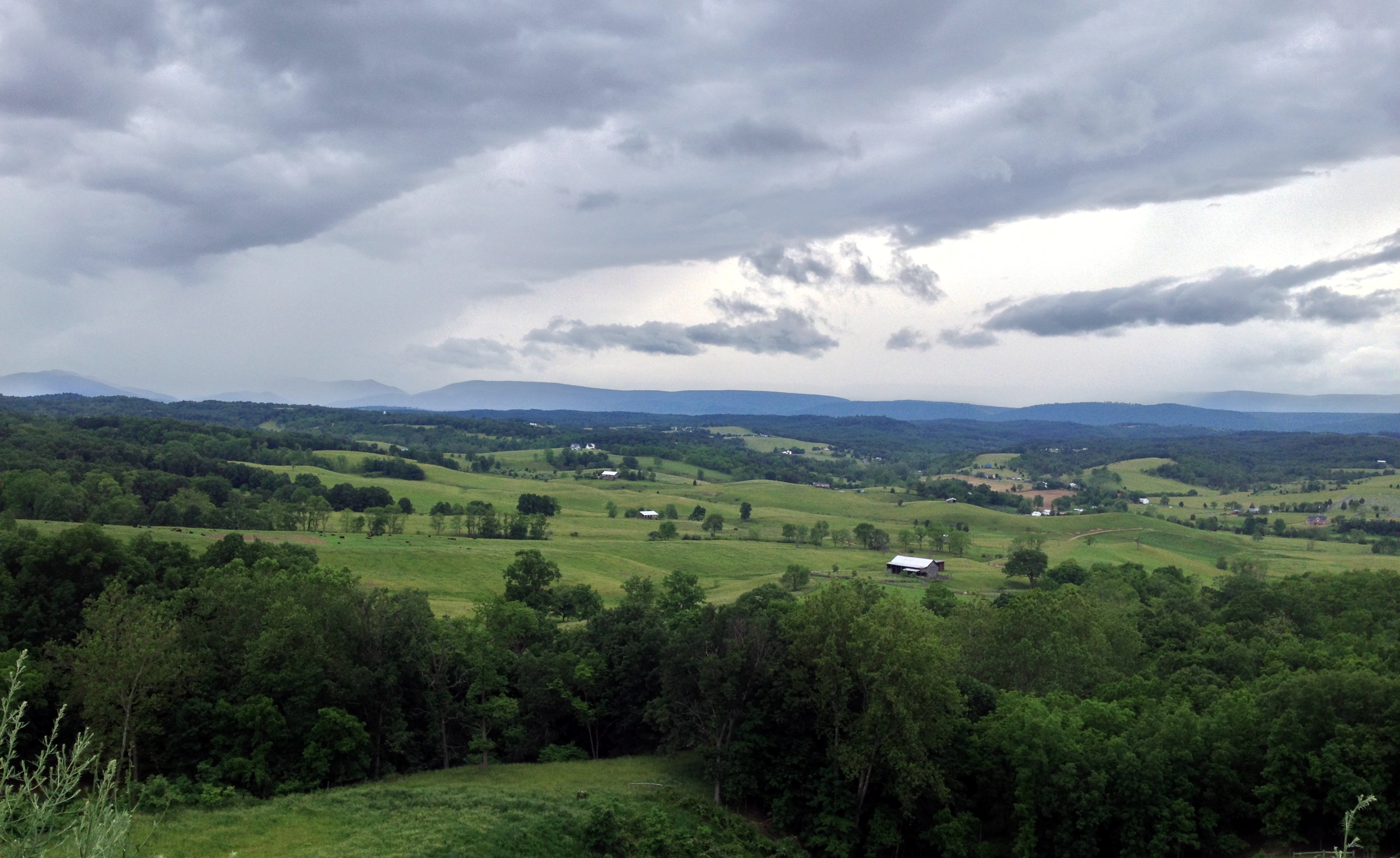
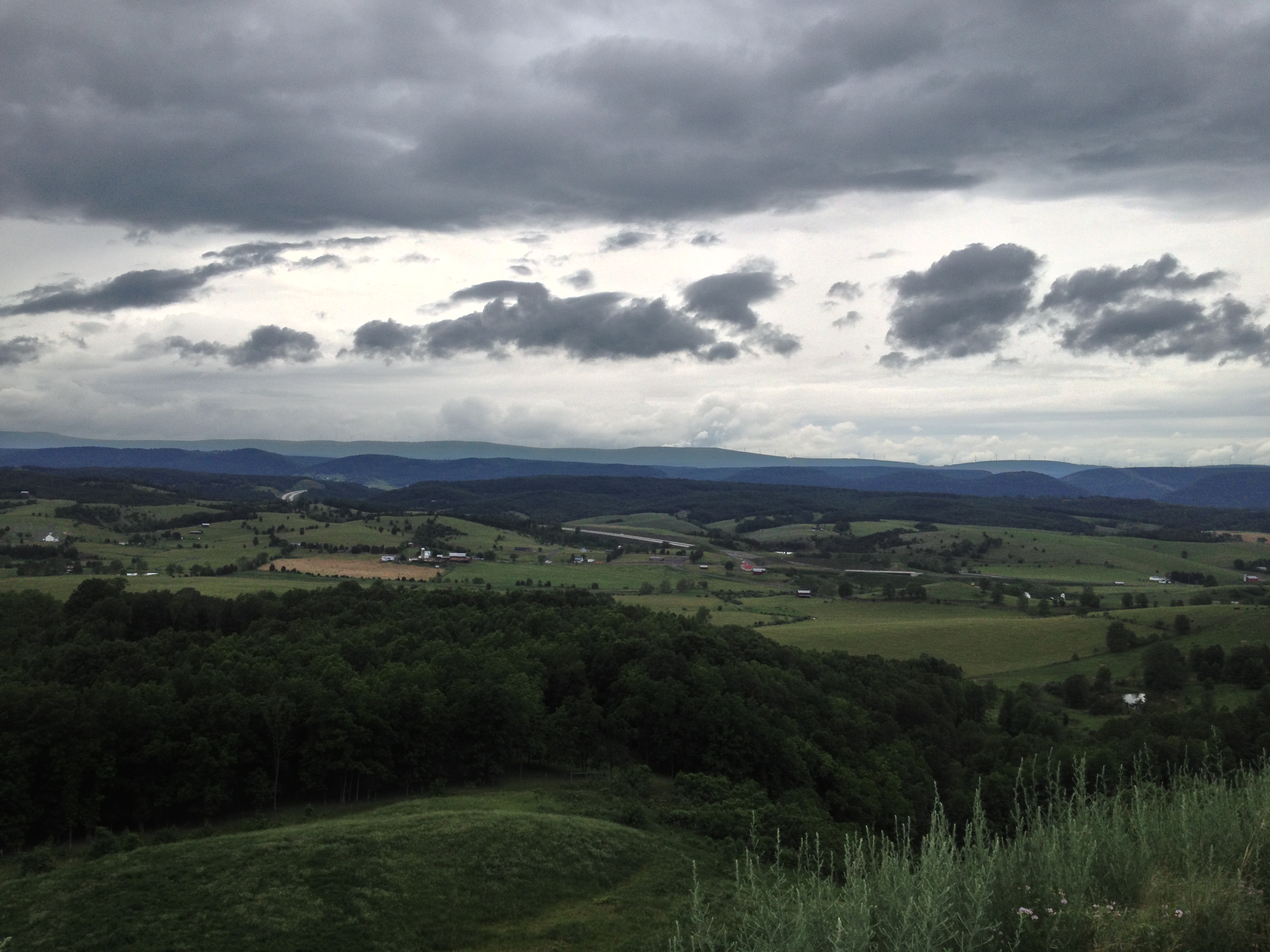
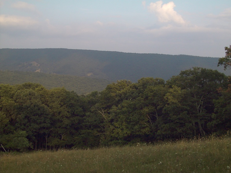
Forested mountains in Hardy County, W.Va.
wv weekend june 1st 036
wv weekend june 1st 033
wv weekend june 1st 034
wv weekend june 1st 035
wv weekend june 1st 037
wv weekend june 1st 038
wv weekend june 1st 031
wv weekend june 1st 032

Scenic Overlook

Camera Roll-263

Honeylocust Overlook, West Virginia

Camera Roll-264
South Branch Potomac
Field of Bloom

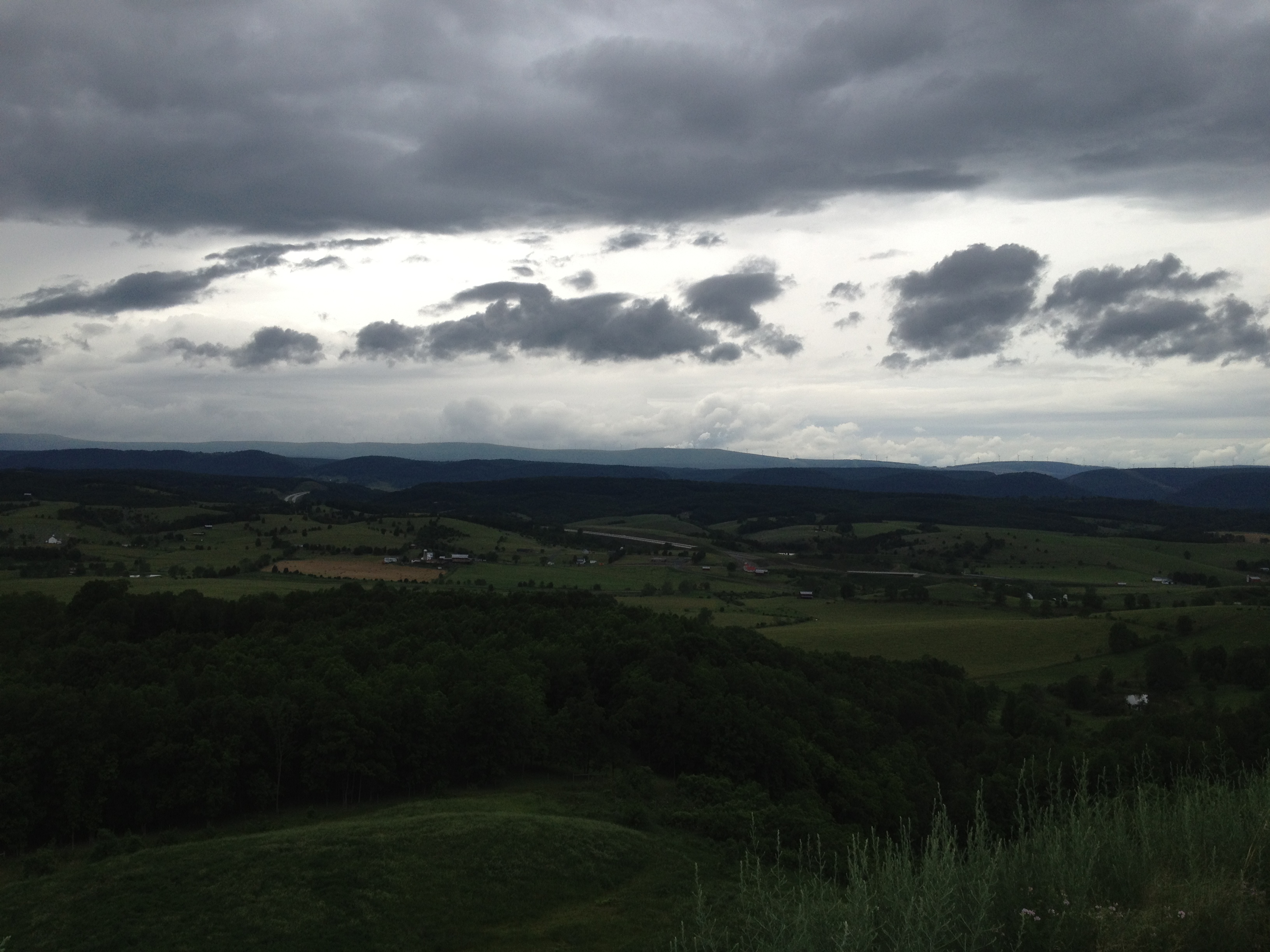
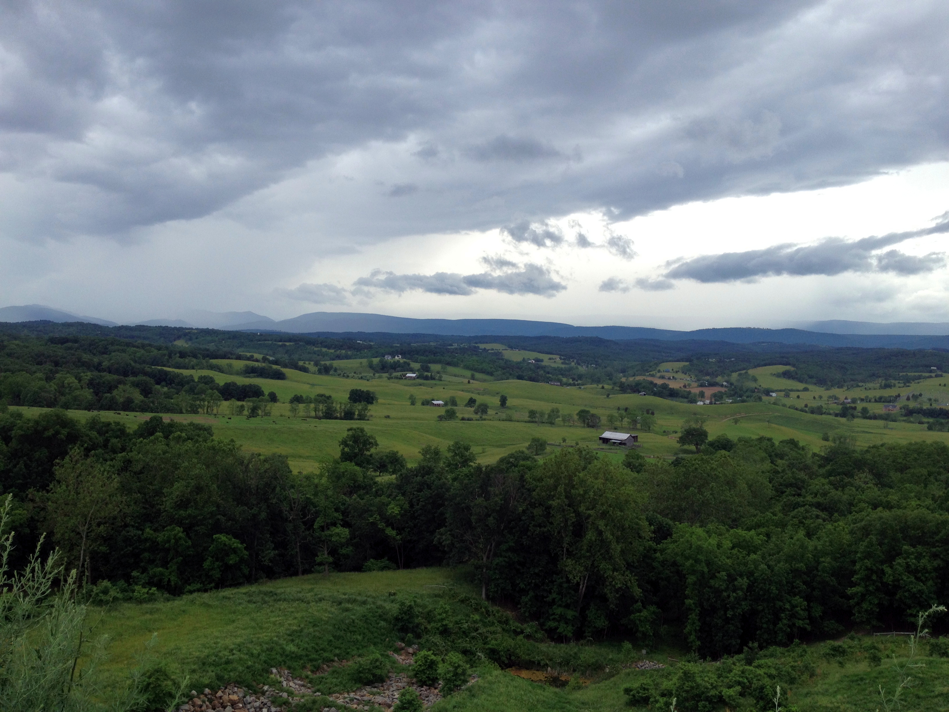
Forested mountains in Hardy County, W.Va.

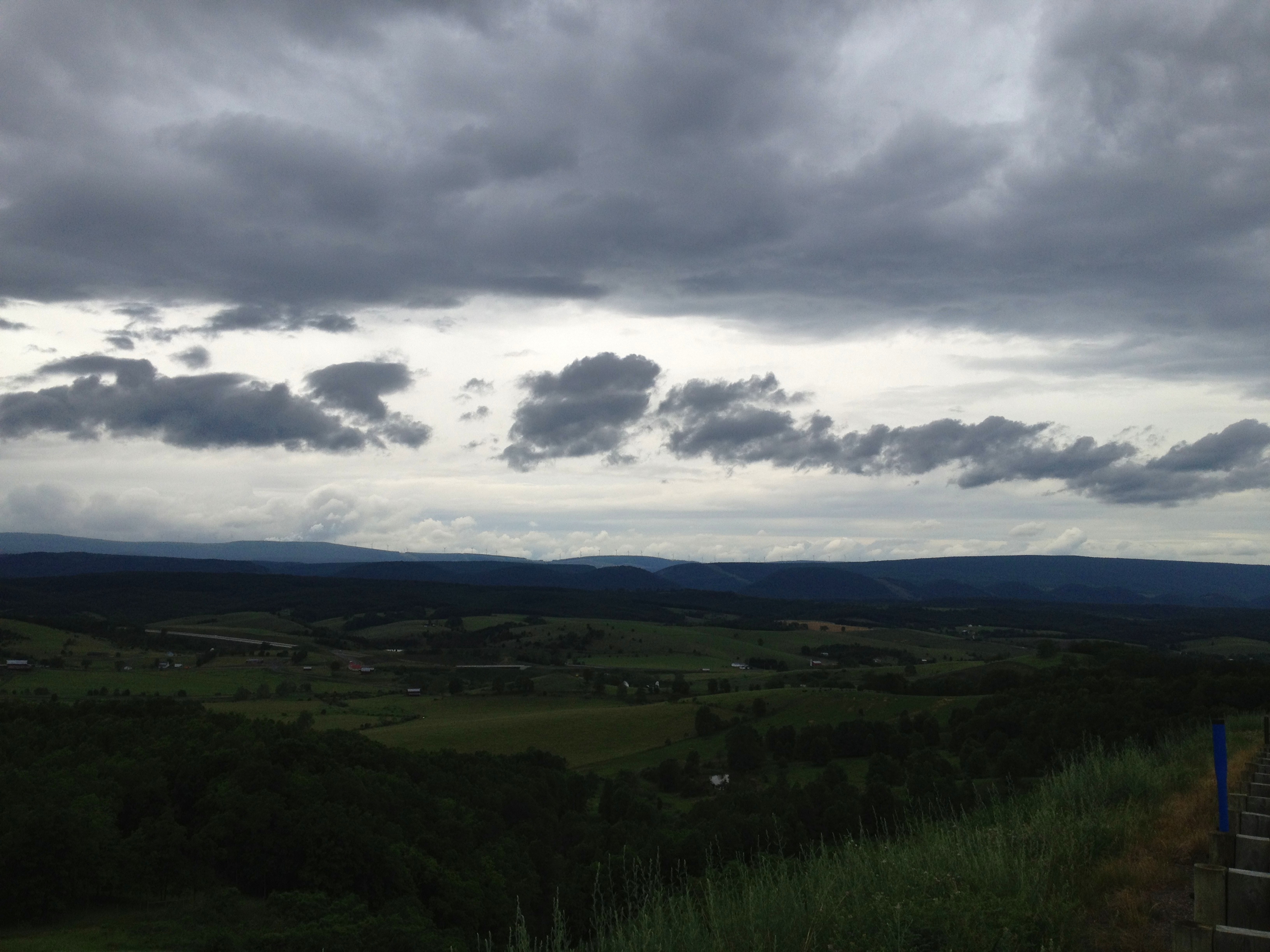
Forested mountains in Hardy County, W.Va.

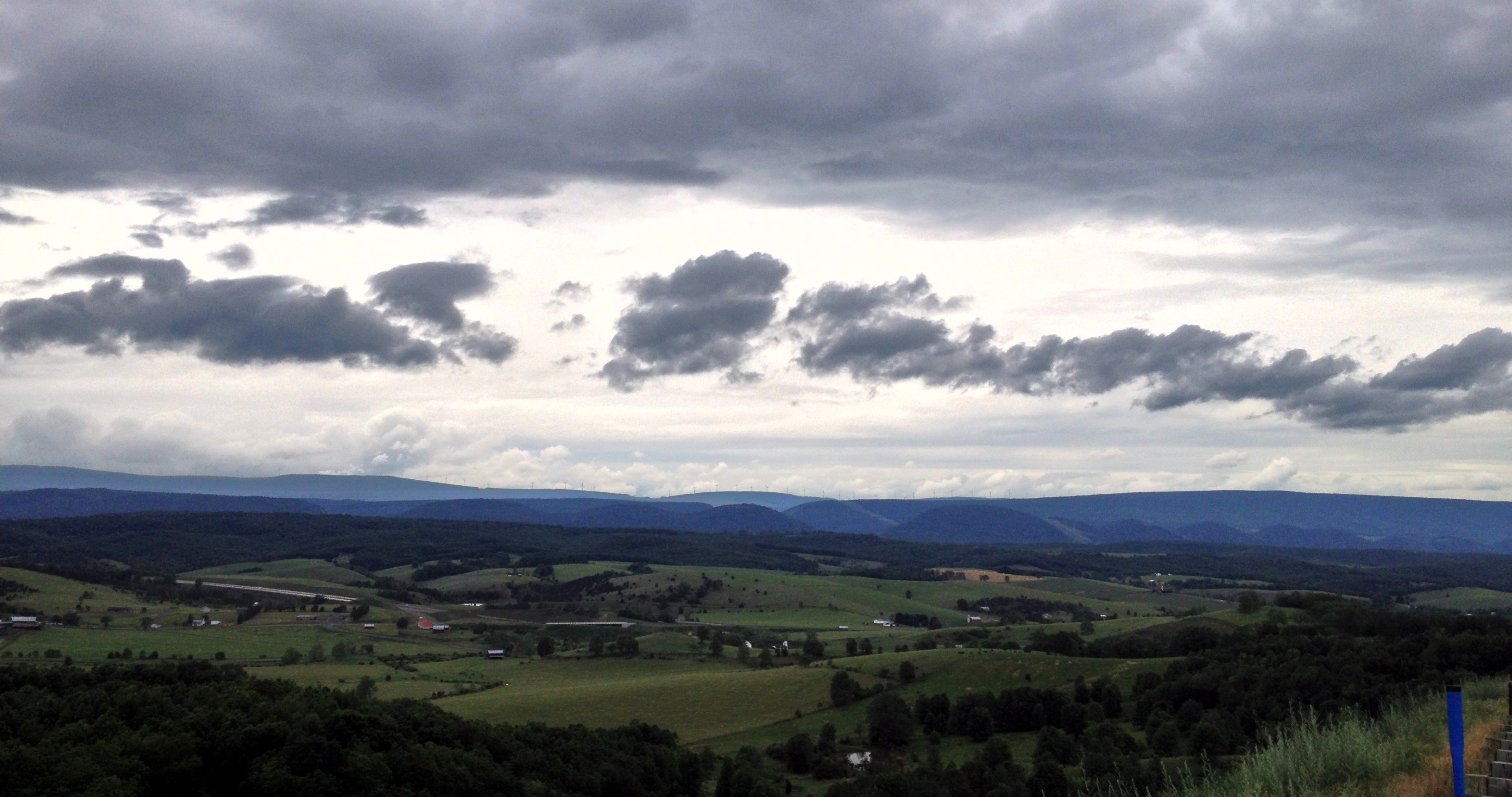
Forested mountains in Hardy County, W.Va.
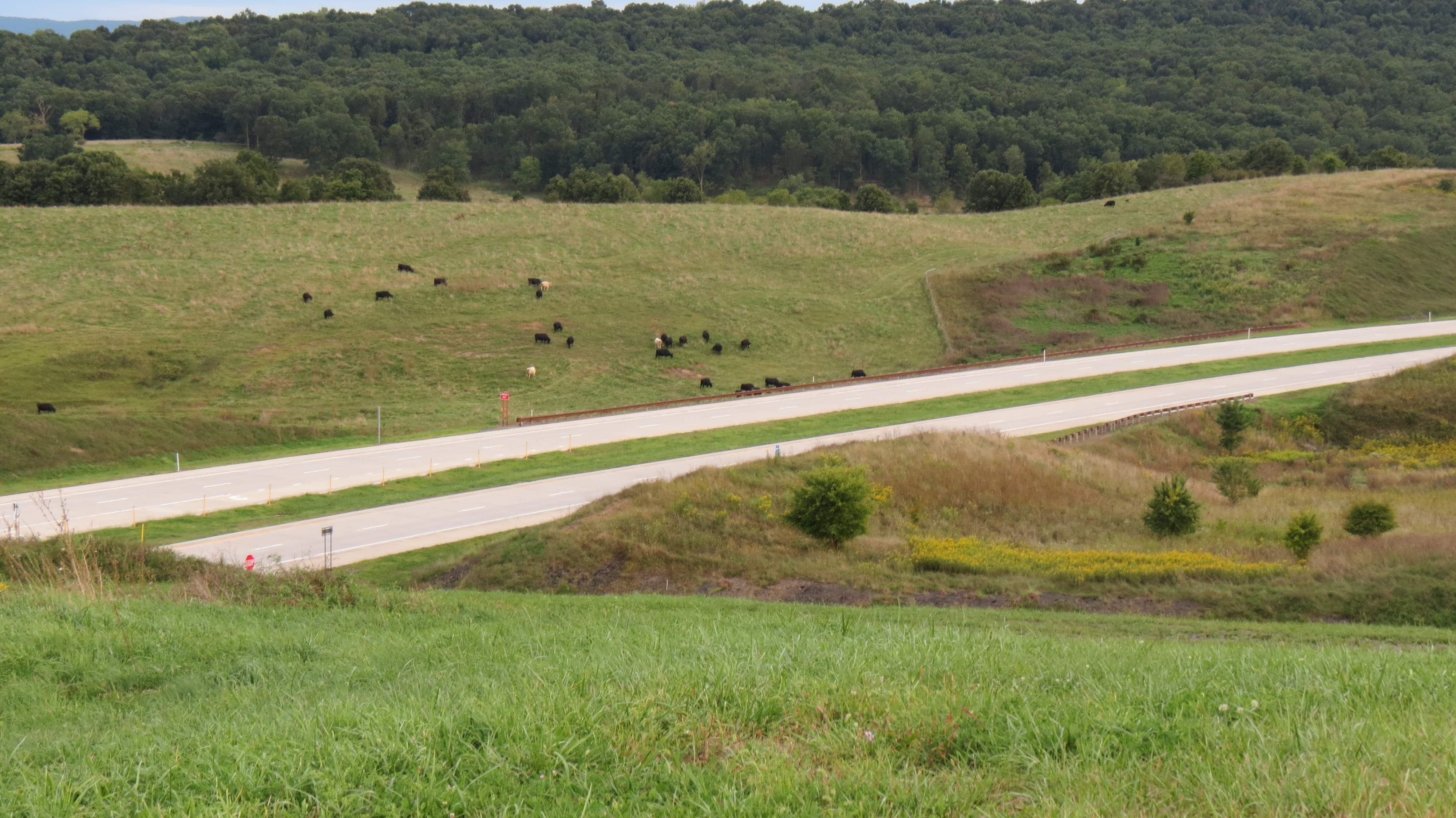
Cows grazing along the highway

American Tree Sparrow
PDRM0570.JPG
Topographic Map of Dover Hollow Rd, Moorefield, WV, USA
Find elevation by address:

Places near Dover Hollow Rd, Moorefield, WV, USA:
Moorefield
Hardy County
Powder Spring Knob
2000 Wv-55 #304
2000 Wv-55
Capon Road
South Fork Road
96 River View Ln, Moorefield, WV, USA
Moorefield
Ashton Woods Drive
Old Fields
Fisher
1064 County Rte 1
Old Fields
River Road
481 Upper Pine Grove Rd
Mt Oliver Rd, Rio, WV, USA
Ridge View Road
1456 Co Rte 23/3
Lower Pine Grove Road
Recent Searches:
- Elevation of Corso Fratelli Cairoli, 35, Macerata MC, Italy
- Elevation of Tallevast Rd, Sarasota, FL, USA
- Elevation of 4th St E, Sonoma, CA, USA
- Elevation of Black Hollow Rd, Pennsdale, PA, USA
- Elevation of Oakland Ave, Williamsport, PA, USA
- Elevation of Pedrógão Grande, Portugal
- Elevation of Klee Dr, Martinsburg, WV, USA
- Elevation of Via Roma, Pieranica CR, Italy
- Elevation of Tavkvetili Mountain, Georgia
- Elevation of Hartfords Bluff Cir, Mt Pleasant, SC, USA