Elevation of Pioneer Ln, Huntington, OR, USA
Location: United States > Oregon >
Longitude: -117.74488
Latitude: 44.482436
Elevation: 1044m / 3425feet
Barometric Pressure: 89KPa
Elevation Map:
Satellite Map:
Related Photos:
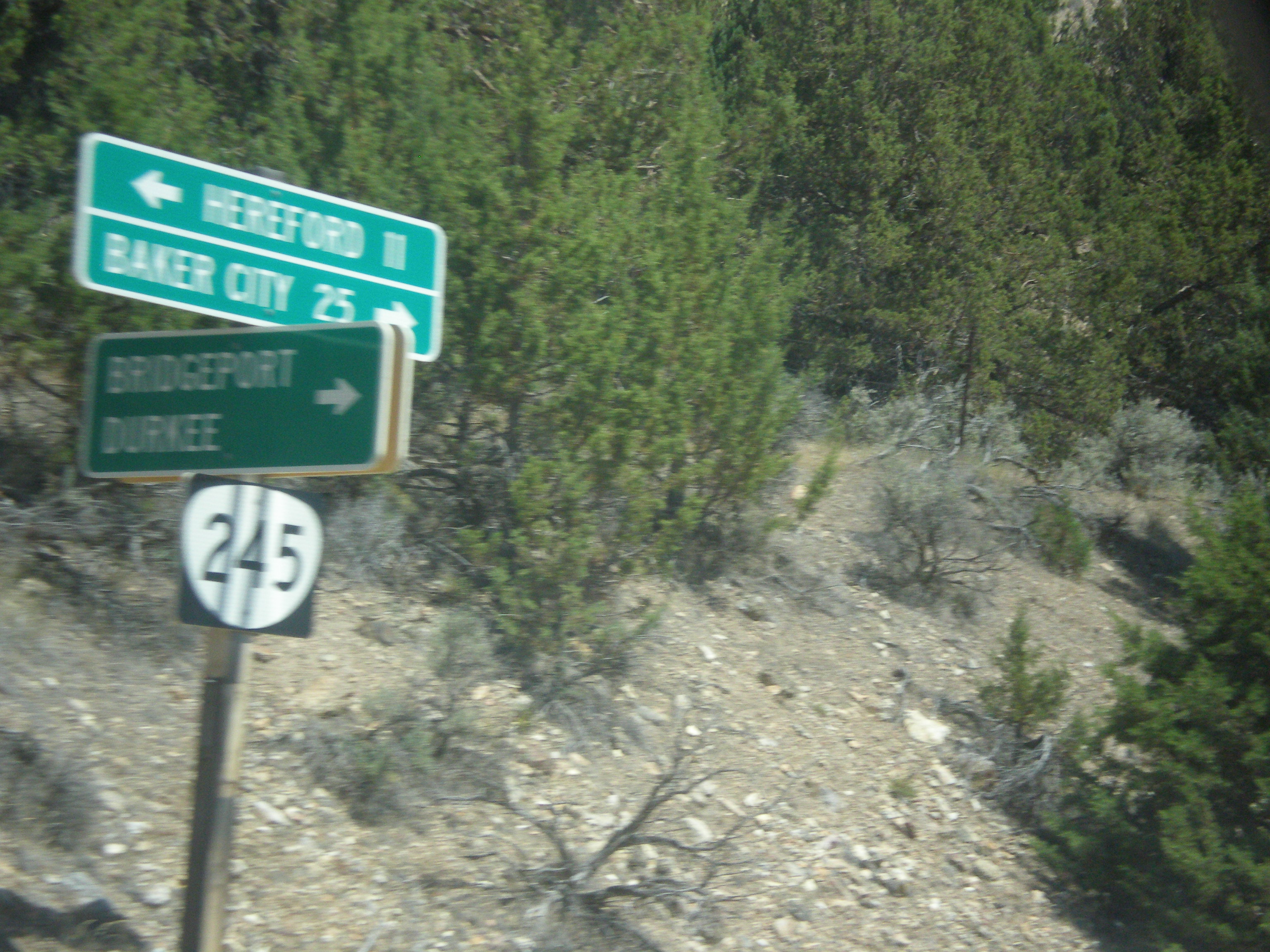
OR-245 East at Bridgeport/Durkee Jct.
Topographic Map of Pioneer Ln, Huntington, OR, USA
Find elevation by address:

Places near Pioneer Ln, Huntington, OR, USA:
34717 Denny Creek Rd
Baker County
Durkee
705 Church St
Baker City
John Day Hwy, Brogan, OR, USA
33060 Shirttail Creek Rd
Weatherby
Dixie
Durkee, OR, USA
Interstate 84
Haines
Huntington
Neal Hotsprings Us Geothermal
Farewell Bend
Bully Creek Reservoir
36917 Or-86
4325 S Rd D
Richland
Conductor Rd, Huntington, OR, USA
Recent Searches:
- Elevation of Corso Fratelli Cairoli, 35, Macerata MC, Italy
- Elevation of Tallevast Rd, Sarasota, FL, USA
- Elevation of 4th St E, Sonoma, CA, USA
- Elevation of Black Hollow Rd, Pennsdale, PA, USA
- Elevation of Oakland Ave, Williamsport, PA, USA
- Elevation of Pedrógão Grande, Portugal
- Elevation of Klee Dr, Martinsburg, WV, USA
- Elevation of Via Roma, Pieranica CR, Italy
- Elevation of Tavkvetili Mountain, Georgia
- Elevation of Hartfords Bluff Cir, Mt Pleasant, SC, USA