Elevation of Conductor Rd, Huntington, OR, USA
Location: United States > Oregon >
Longitude: -117.09814
Latitude: 44.268576
Elevation: 640m / 2100feet
Barometric Pressure: 94KPa
Elevation Map:
Satellite Map:
Related Photos:
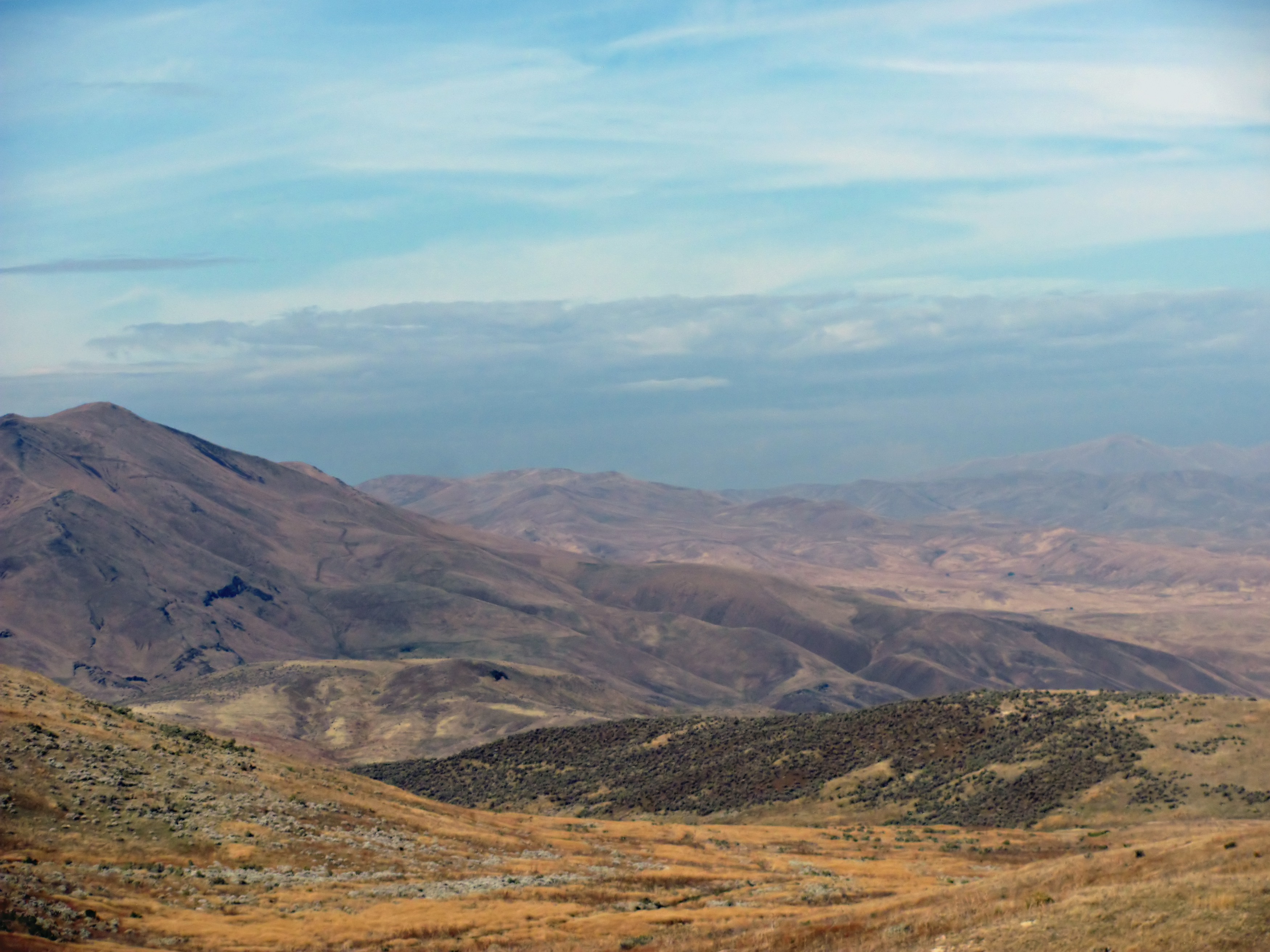
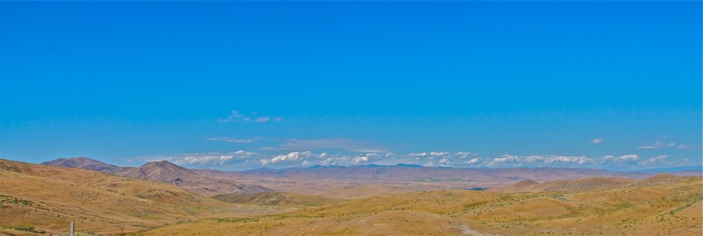
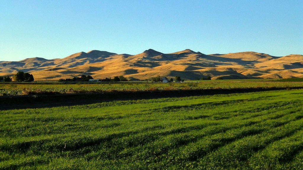
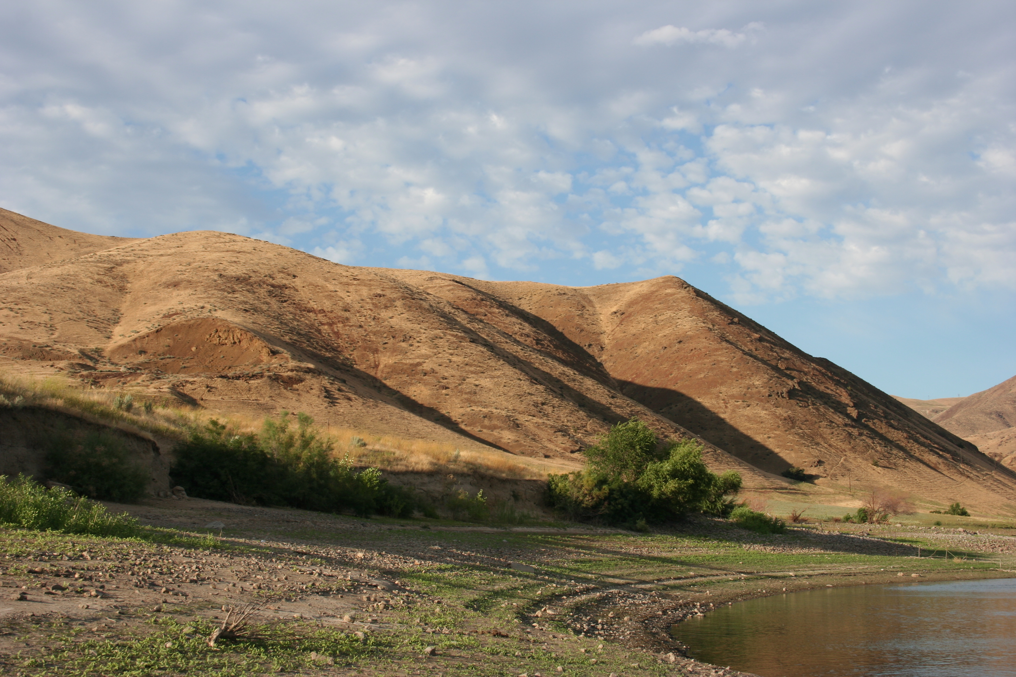
Eastern Oregon and Idaho
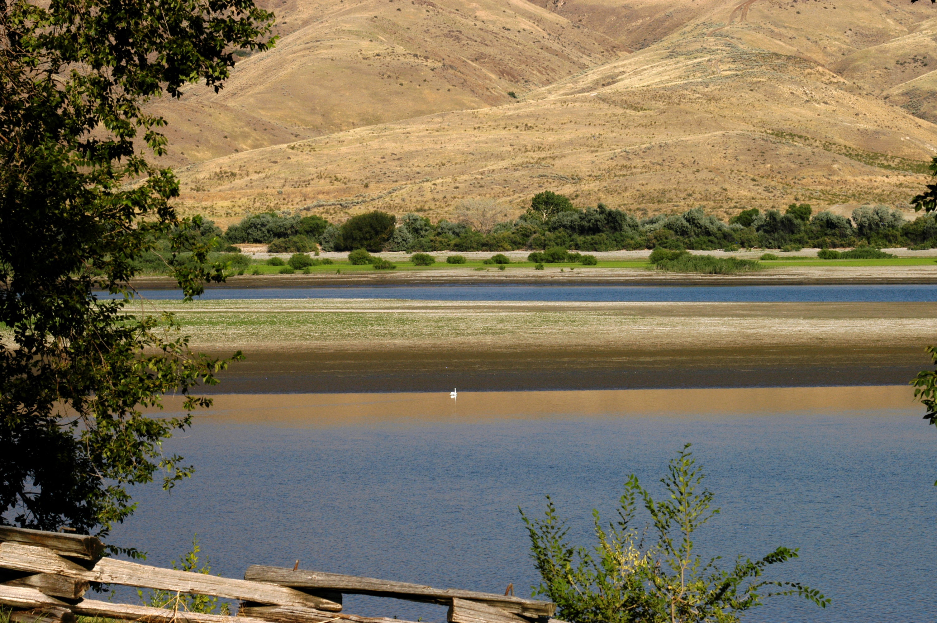
Snake River at Farewell Bend
Near Farewell Bend
#Truckdriving in #Oregon #OnTheRoad #paidtraveljob #MyLife #awesome #View #Nature
View from the Oregon Trail

State Street - Weiser, Idaho
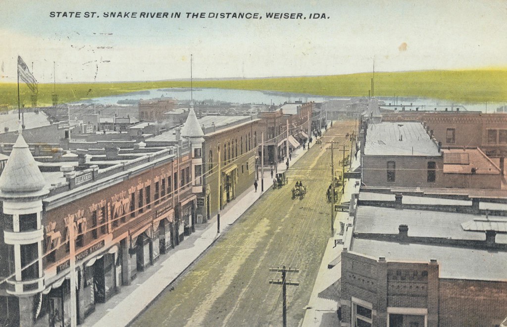
State Street - Weiser, Idaho

The View at MP536.15 - Huntington Sub
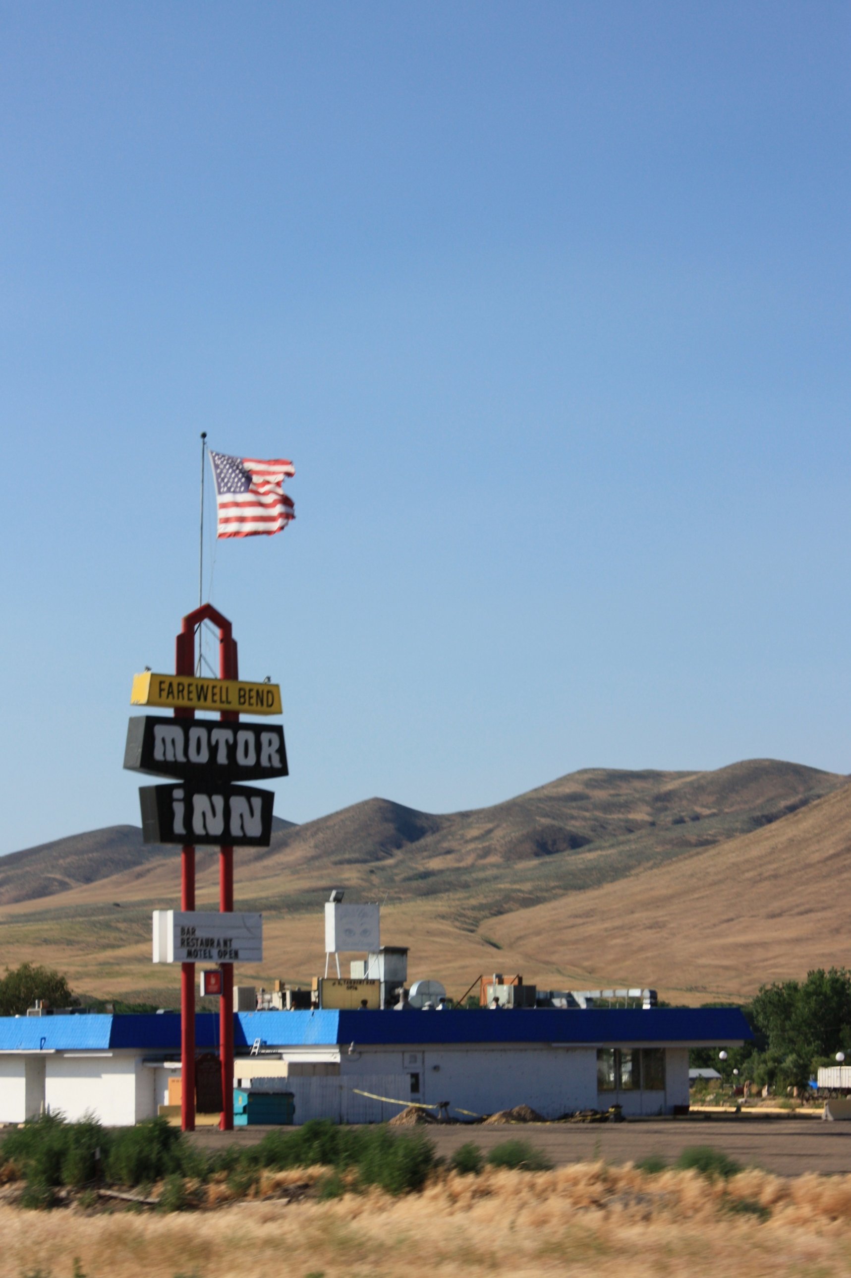
Farewell Bend Motor-inn
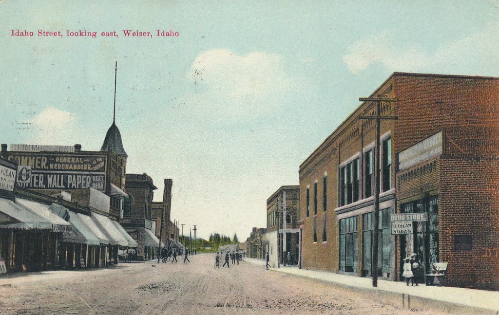
Idaho Street, Looking East - Weiser, Idaho

Indianhead Rd, Weiser, ID #1
Indianhead Rd, Weiser, ID #3

The epic engagement

DSC_0659 (1)

Indianhead Rd, Weiser, ID #2

DSC_0653 (1)
Baker County Tourism – basecampbaker.com 325

DSC_0658 (1)
Wallowa River

DSC_0659 (1)

Sunset over the Snake
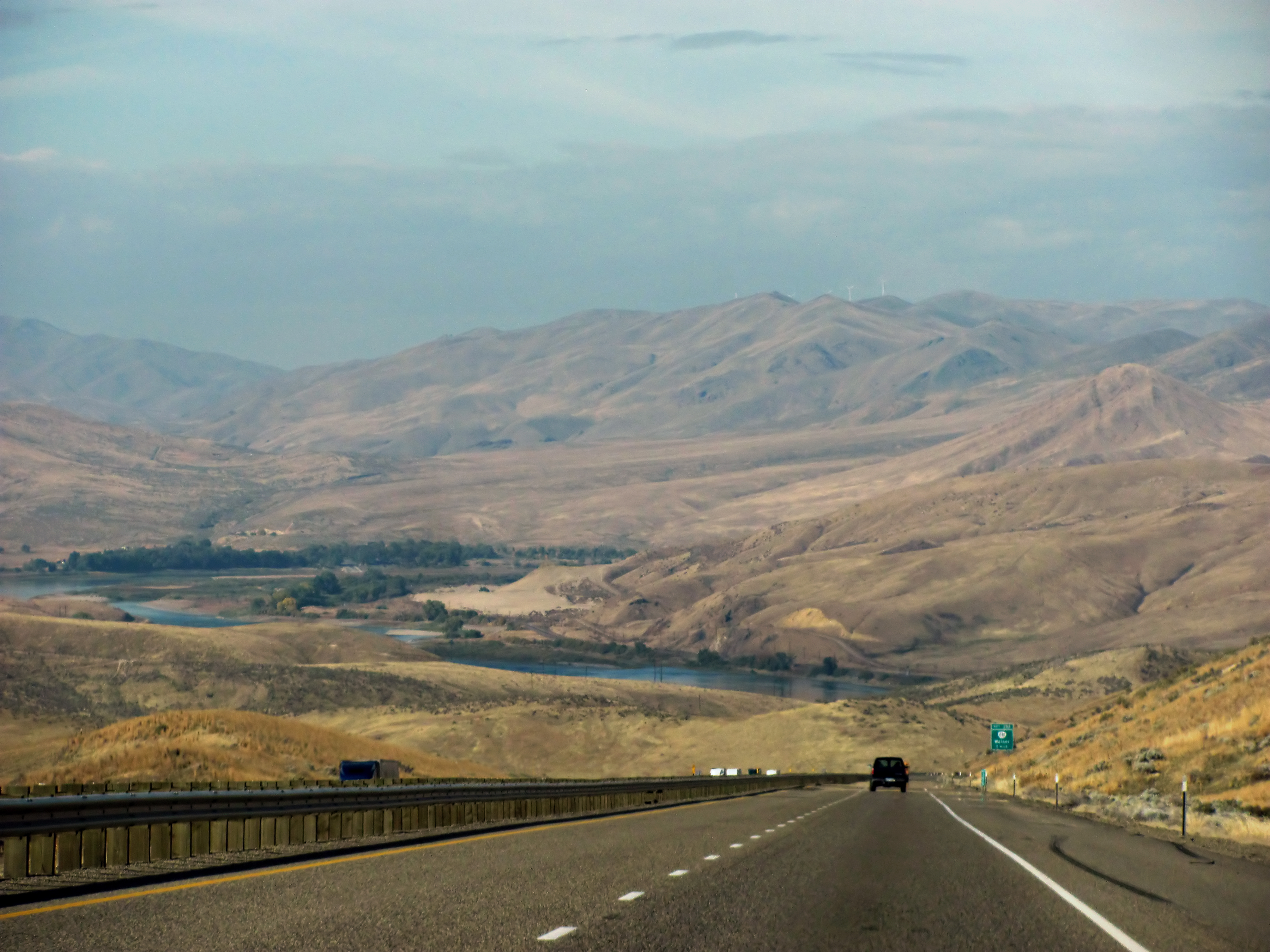
I-84 Eastern Oregon
Farewell Bend State Park

Snake River near Farewell Bend St Park, OR
Farewell, Bend
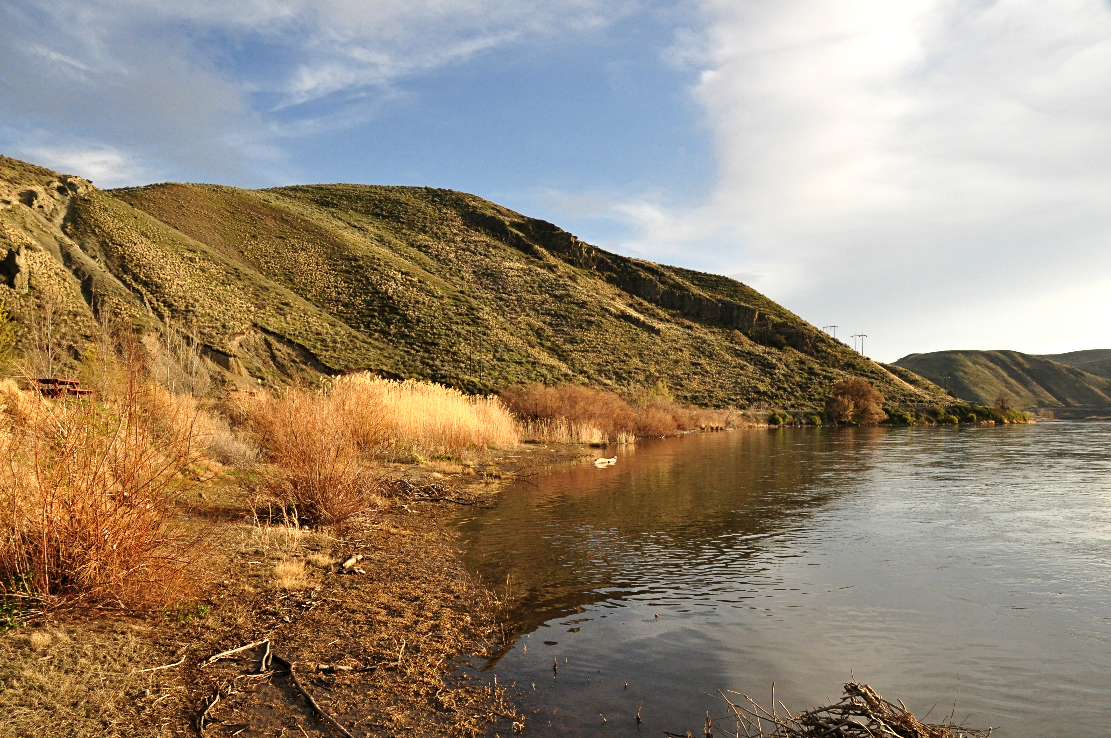
Snake River Scene
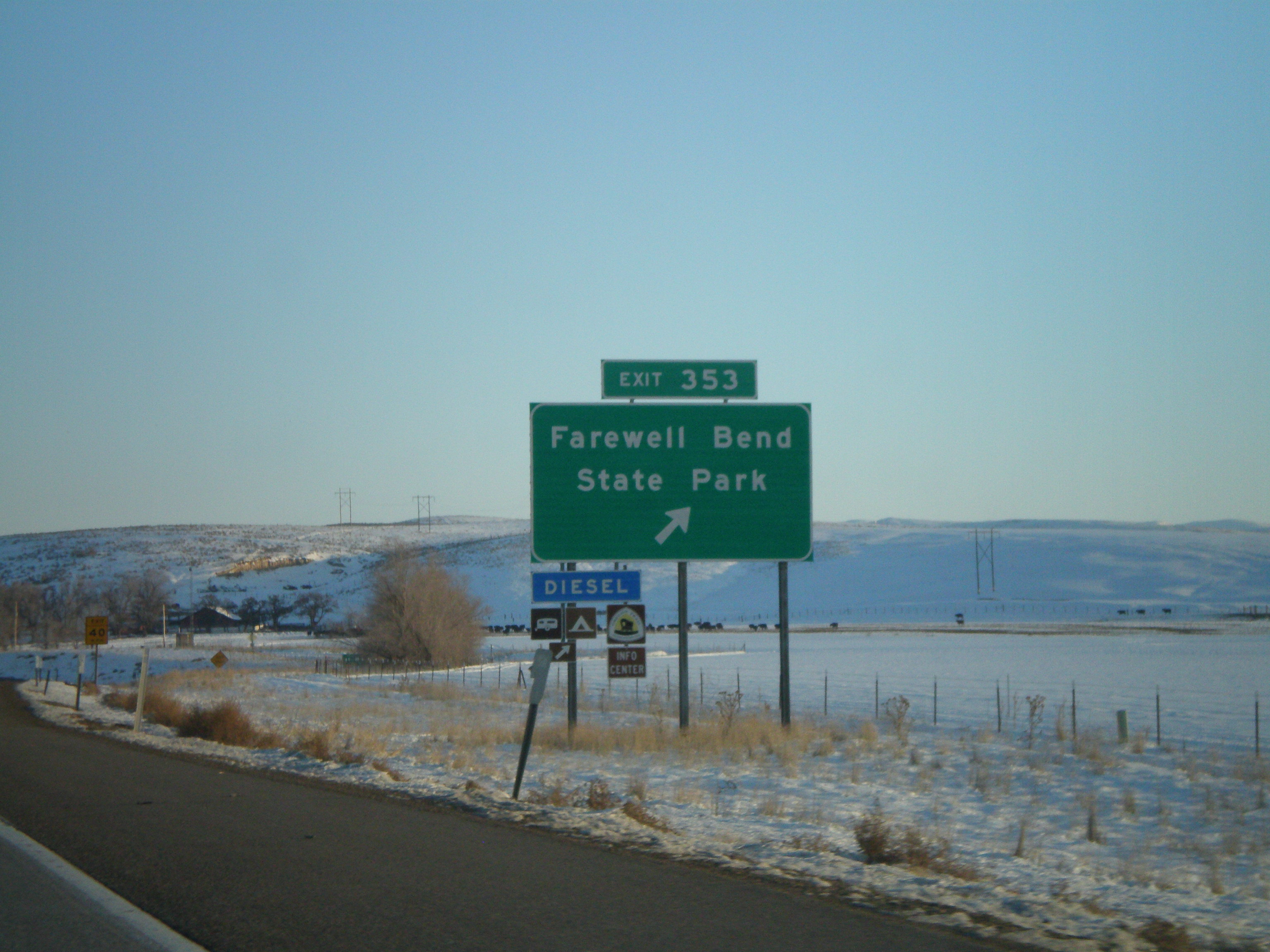
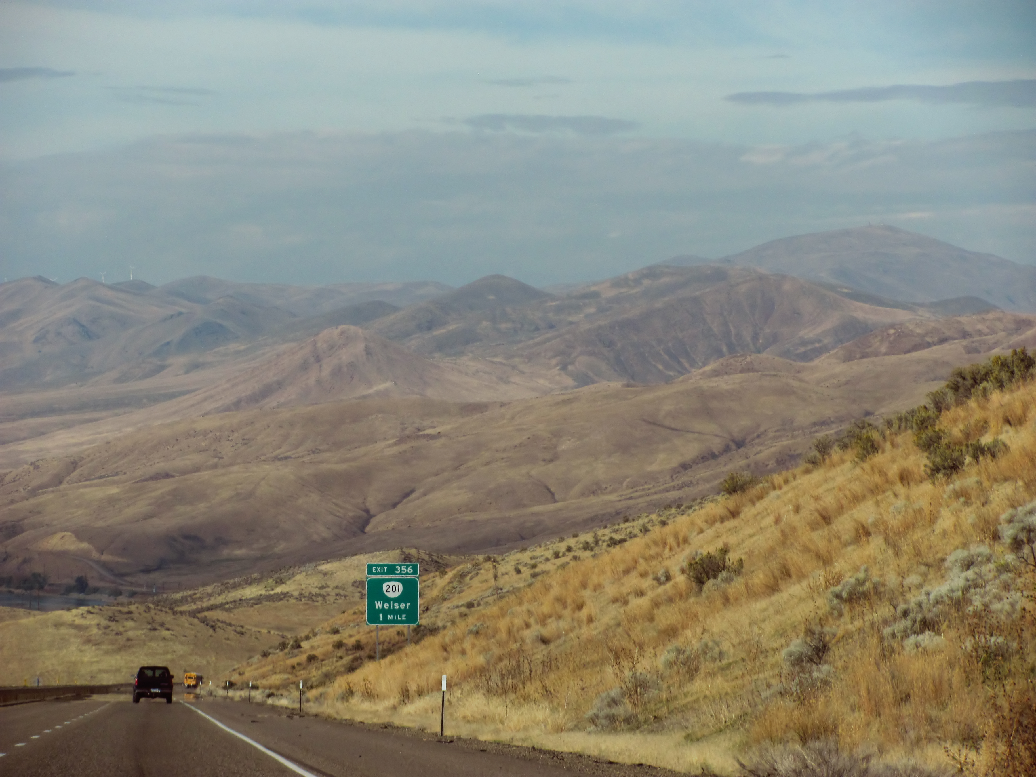
I-84 East - Exit 353
Topographic Map of Conductor Rd, Huntington, OR, USA
Find elevation by address:

Places near Conductor Rd, Huntington, OR, USA:
927 Conductor Rd
770 River Bend Ln
1098 Rock Creek Rd
1595 W 7th St
Farewell Bend
Weiser
Huntington
4655 Hyline Rd
Ontario Heights Rd, Ontario, OR, USA
Interstate 84
Cahill Ln, Weiser, ID, USA
River Rd, Payette, ID, USA
1120 N 6th St
1326 Mann Creek Rd
880 Mann Creek Rd
2317 Nw 11th St
Payette
57 Nw 16th St
Manser Dr, Payette, ID, USA
Idaho Elks Hearing And Balance Center: Ontario
Recent Searches:
- Elevation of Corso Fratelli Cairoli, 35, Macerata MC, Italy
- Elevation of Tallevast Rd, Sarasota, FL, USA
- Elevation of 4th St E, Sonoma, CA, USA
- Elevation of Black Hollow Rd, Pennsdale, PA, USA
- Elevation of Oakland Ave, Williamsport, PA, USA
- Elevation of Pedrógão Grande, Portugal
- Elevation of Klee Dr, Martinsburg, WV, USA
- Elevation of Via Roma, Pieranica CR, Italy
- Elevation of Tavkvetili Mountain, Georgia
- Elevation of Hartfords Bluff Cir, Mt Pleasant, SC, USA